

Town or village · 3,519 m
Manang
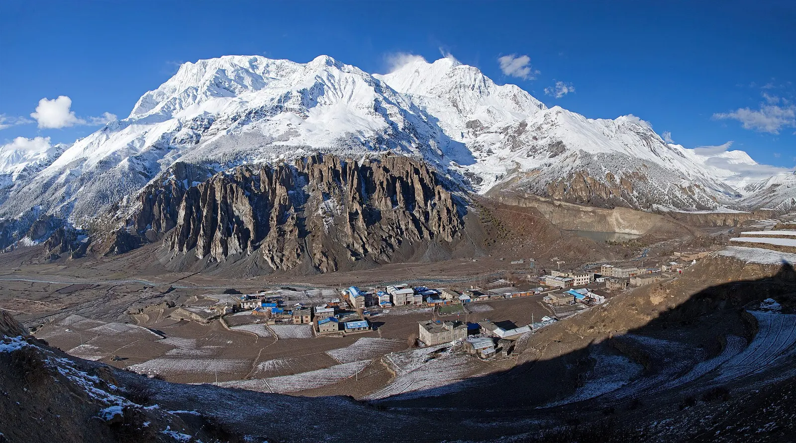
A high stone village in the upper Marsyangdi valley below Annapurna III and Gangapurna, where Circuit trekkers stop to acclimatise.
Pokhara & Annapurnaअन्नपूर्ण क्षेत्र
Rhododendron forest, Gurung villages and a ring of high peaks around Annapurna Base Camp.
The trekking region and Annapurna Conservation Area north of Pokhara, not the single peak Annapurna I.
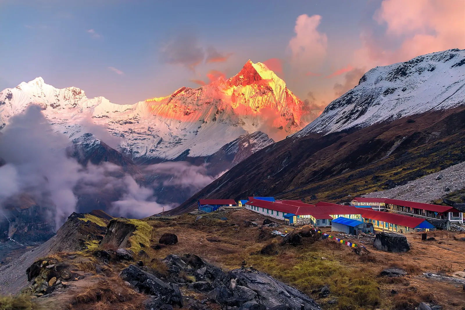
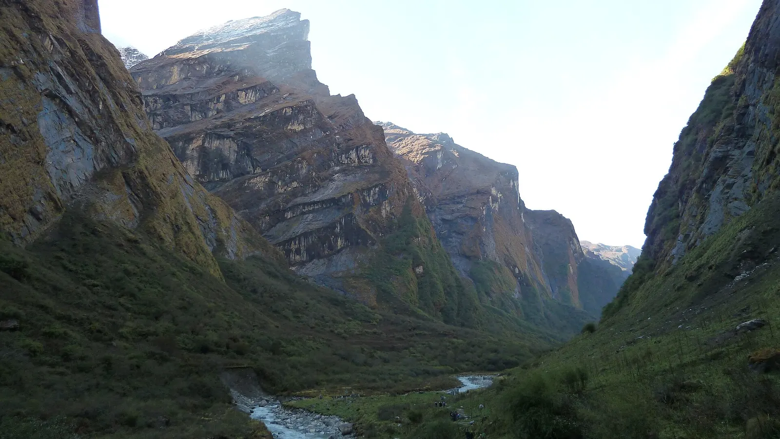
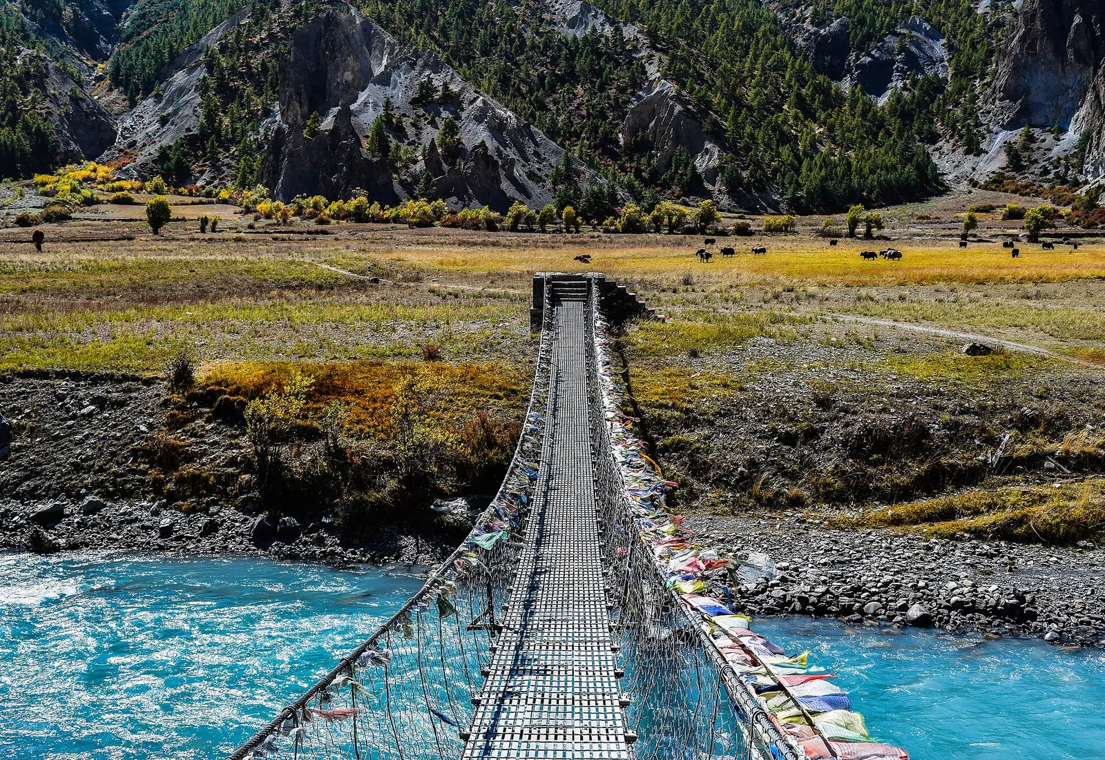
The Annapurna region is the mountain country north of Pokhara, most of it inside the Annapurna Conservation Area, which covers about 7,629 sq km across Kaski, Lamjung, Manang, Mustang and Myagdi districts. It holds Annapurna I, the first 8,000 m peak ever climbed, along with Dhaulagiri across the Kali Gandaki, Machhapuchhre, Annapurna South and Hiunchuli. Few areas in Nepal pack so much variety into short distances: subtropical farmland near Pokhara, cloud forest and rhododendron on the middle slopes, and dry, Tibetan-style valleys in the rain shadow to the north.
This is Nepal's busiest trekking region, with teahouses in almost every village on the main routes. The Annapurna Base Camp trek climbs the Modi Khola into the Annapurna Sanctuary, a high basin ringed by peaks. The Poon Hill loop is a shorter walk to a sunrise viewpoint at 3,210 m. The Annapurna Circuit crosses Thorong La at 5,416 m between Manang and Muktinath, and the Mardi Himal trail follows a ridge towards Machhapuchhre. Roads now reach many trailheads, so treks can be shortened or extended by jeep.
The region's pages cover its main stops. Ghandruk is a large Gurung village with stone houses and views of Annapurna South and Machhapuchhre. Landruk faces it across the Modi Khola, on the routes to the Sanctuary and Mardi Himal. Chhomrong is the last permanent village before the Sanctuary on the ABC trek. Tolka is a small farming village in the forest between Bhichok Deurali and Landruk. Ghorepani is the ridge-top village below Poon Hill. Forest Camp is the first lodge clearing in the forest on the Mardi Himal trek. Tatopani is a hot-spring village on the Kali Gandaki, often reached at the end of the Poon Hill loop or the Circuit. Manang is the high valley behind the range, the acclimatisation base before Thorong La and the gateway to Tilicho Lake and Nar-Phu.
Mustang and Muktinath, also inside the conservation area, have their own pages.
The story
Annapurna is the goddess of food and nourishment, 'she who is full of food'. Farmers in the middle hills have always looked to her snows as the source of the rivers that water their terraces. Walking into the Sanctuary, ringed by high peaks, is for many people a little like entering a temple.
Town or village · 3,519 m
A high stone village in the upper Marsyangdi valley below Annapurna III and Gangapurna, where Circuit trekkers stop to acclimatise.
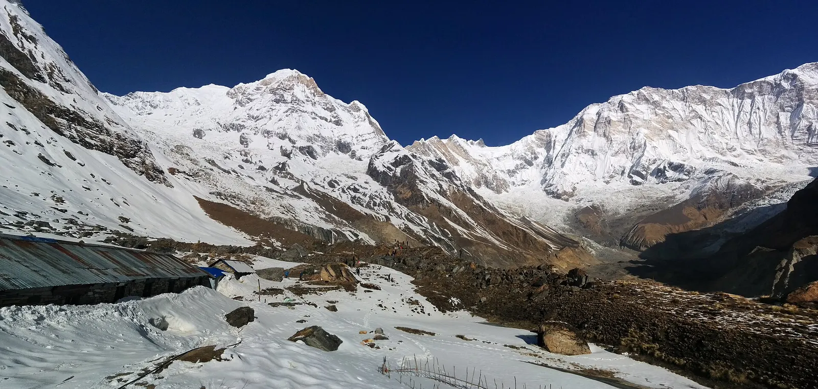
Trek stop · 4,130 m
Lodges at about 4,130 m in the glacial basin of the Annapurna Sanctuary, below the south face of Annapurna I.
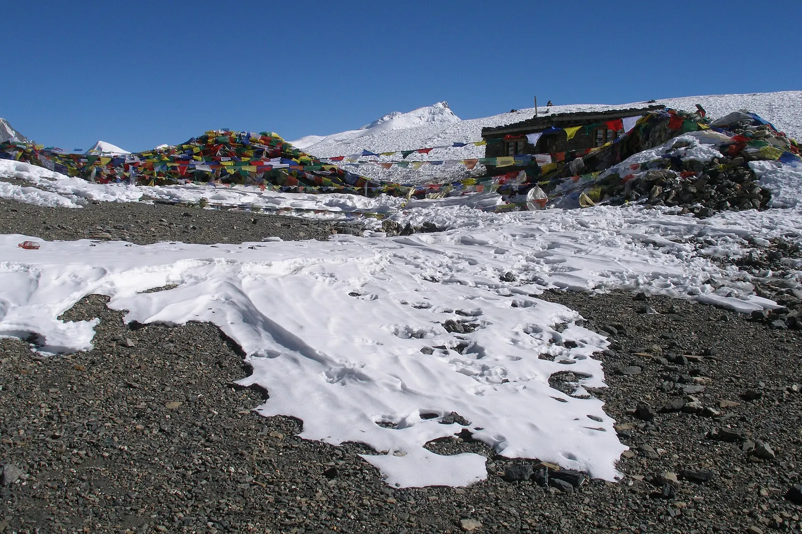
Mountain pass · 5,416 m
The 5,416 m pass between Manang and Muktinath, the high point of the Annapurna Circuit.
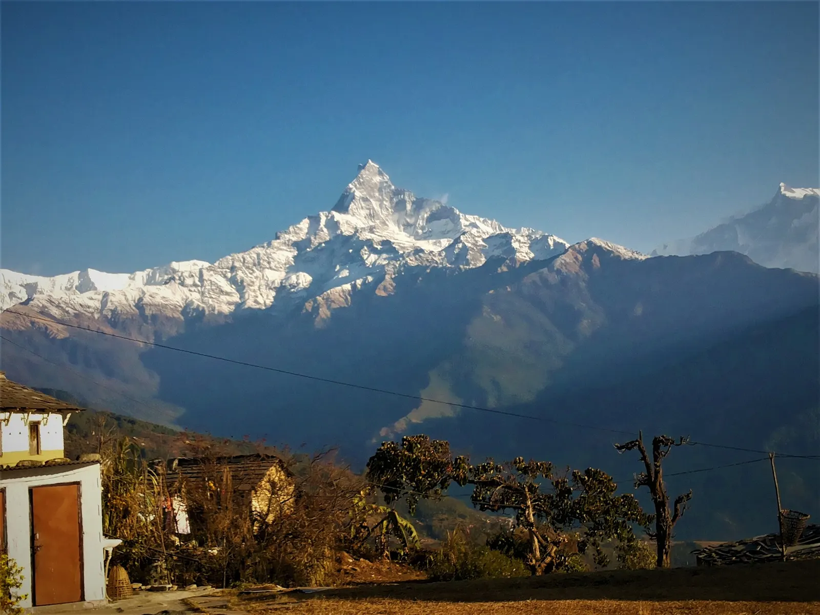
Trek stop · 2,060 m
A grassy clearing at about 2,060 m above Kande with a wide view of the Annapurna range and Machhapuchhre, an easy walk from the road.
Trek stop · 2,310 m
A group of lodges in the bamboo forest of the Modi Khola gorge, the first overnight stop above Chhomrong on the way to Annapurna Base Camp.
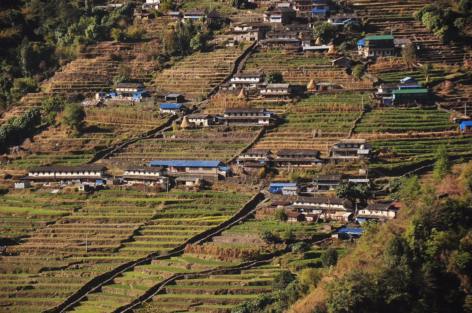
Trek stop · 2,170 m
The last permanent Gurung village before the Annapurna Sanctuary, built on a steep staircase facing Annapurna South and Machhapuchhre.
Trek stop · 3,200 m
The last lodges in the Modi Khola gorge before Machhapuchhre Base Camp, at about 3,200 m.
Trek stop · 1,650 m
A Gurung hill village above Phedi with views of Machhapuchhre and the Annapurnas, close to Pokhara.
Trek stop · 3,420 m
A small high lodge stop on the ridge between Tadapani and Khopra, the base for sunrise at the Muldai viewpoint.
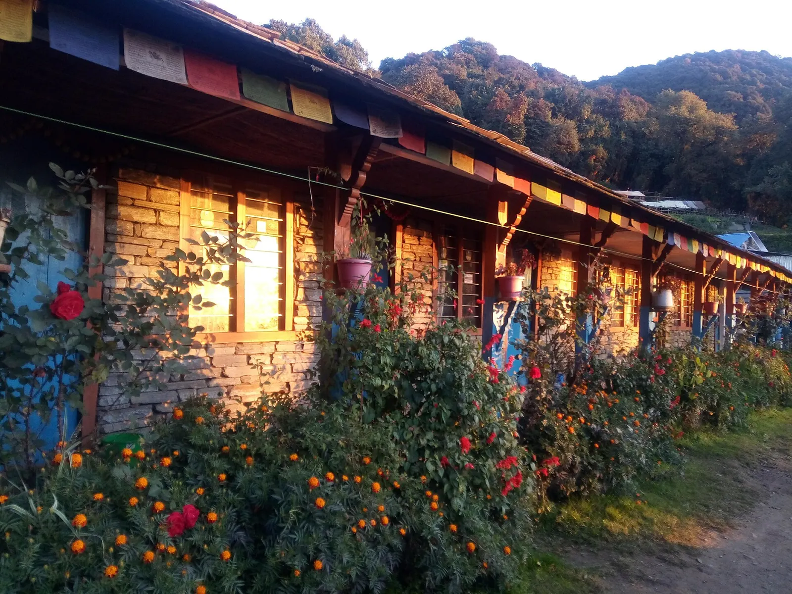
Trek stop · 2,550 m
A small cluster of lodges in rhododendron and oak forest, the usual first or second night on the Mardi Himal trek.
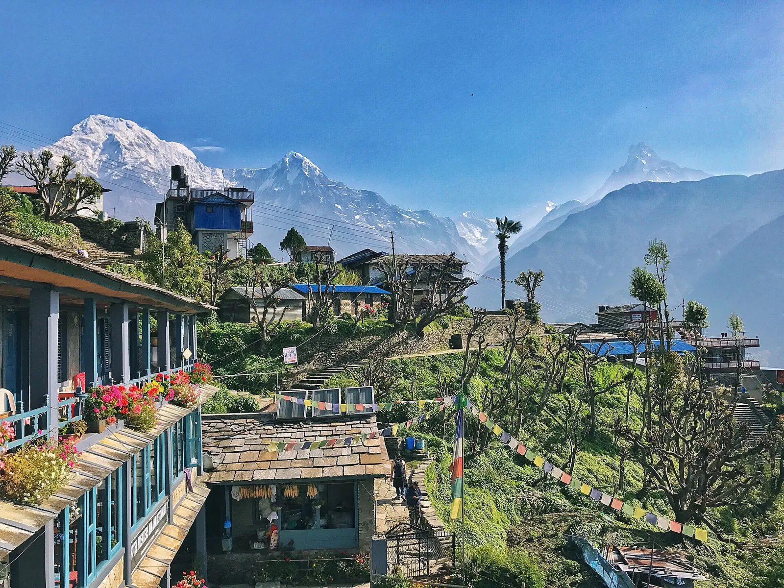
Town or village · 2,012 m
A large Gurung village of stone houses and terraces facing Annapurna South and Machhapuchhre, on the trails to Annapurna Base Camp and Poon Hill.
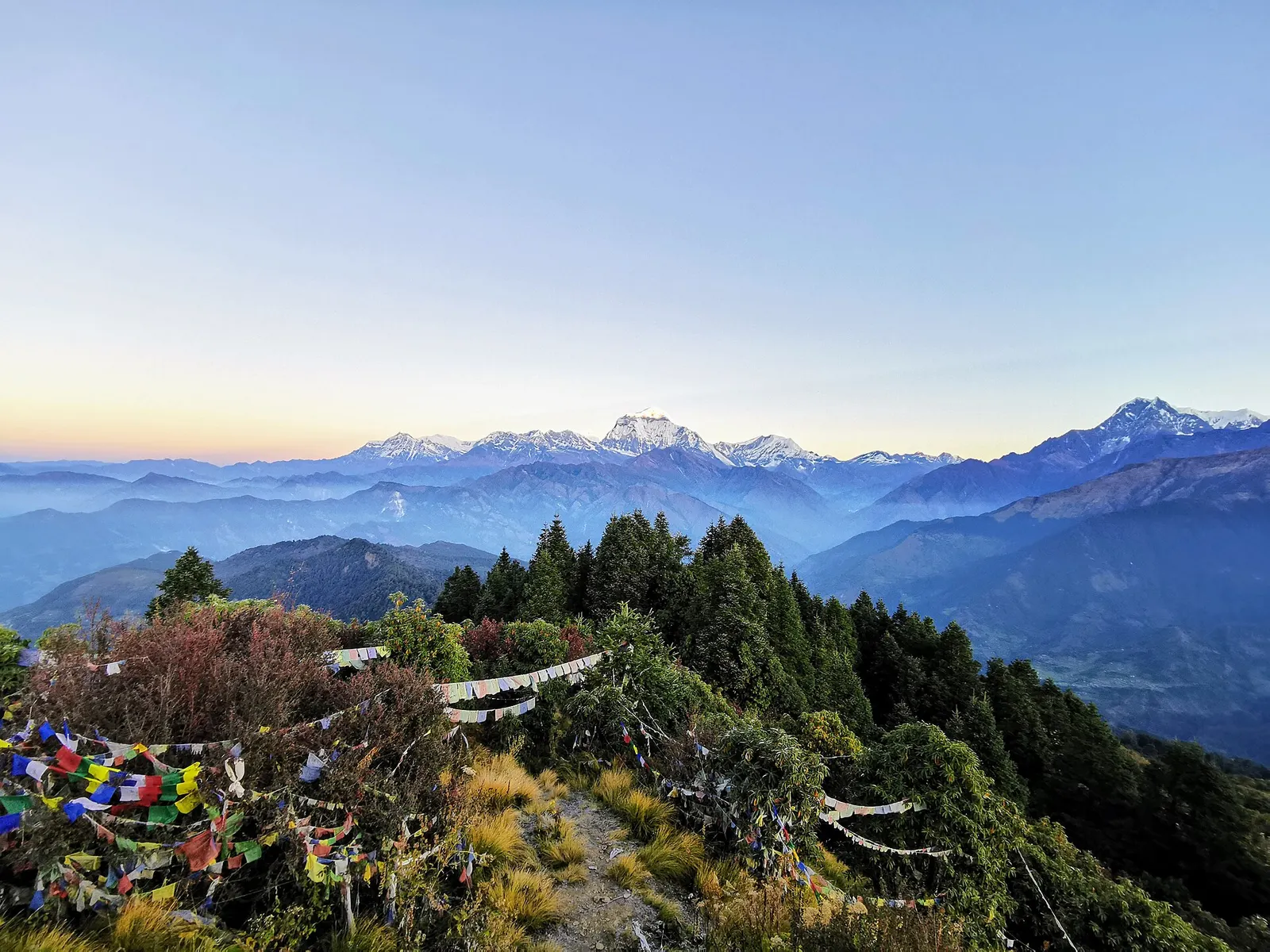
Trek stop · 2,874 m
A ridge-top trekking village in rhododendron forest, and the base for the dawn climb to Poon Hill's view of Dhaulagiri and the Annapurnas.
Trek stop · 3,660 m
A high grassy ridge at about 3,660 m facing Dhaulagiri and Annapurna South, with a community-run lodge.
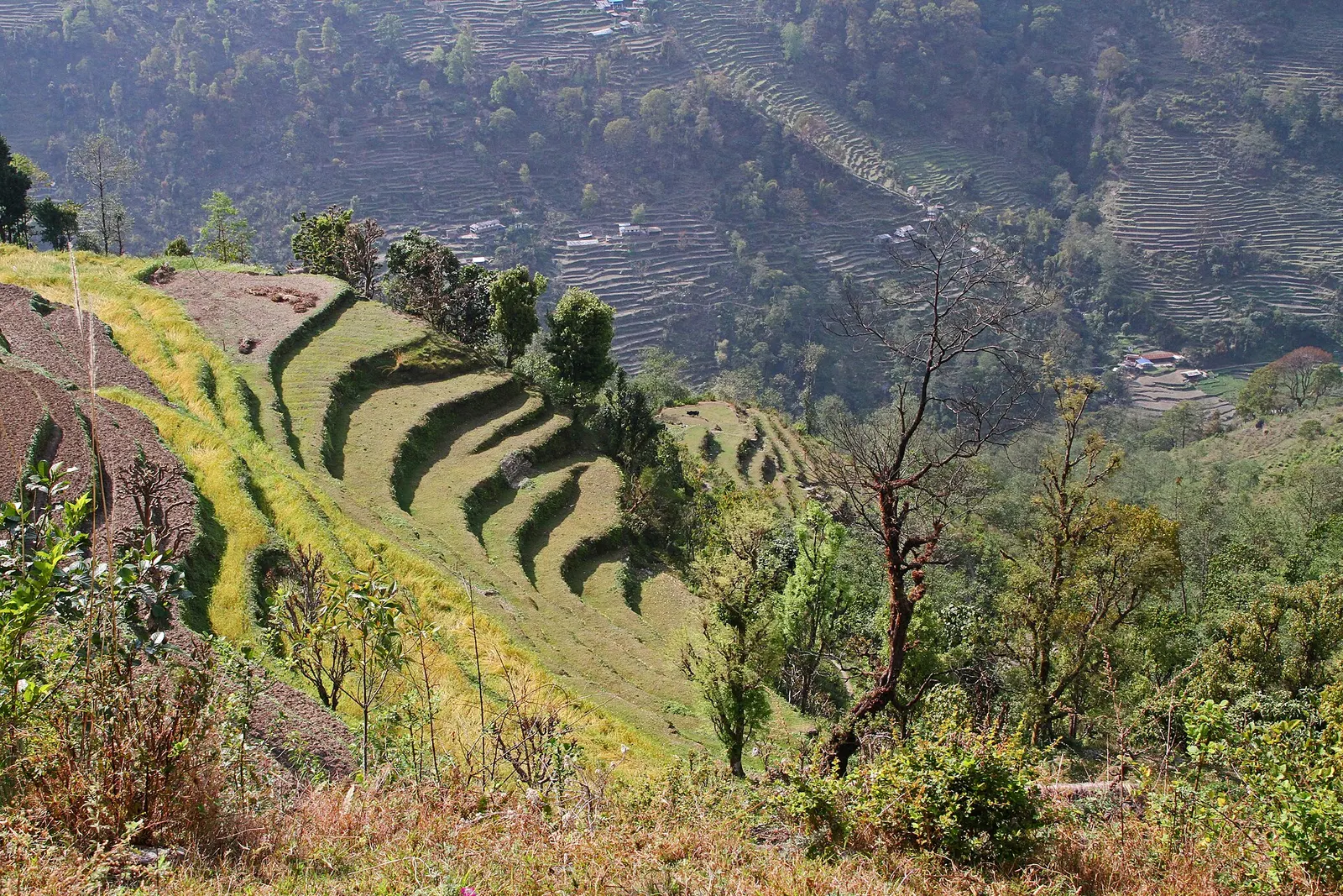
Trek stop · 1,640 m
A spread-out Gurung village on the east side of the Modi Khola, facing Ghandruk across the valley on the way to Annapurna Base Camp.
Trek stop · 3,700 m
Lodges at the entrance of the Annapurna Sanctuary, under the west face of Machhapuchhre, about two hours below Annapurna Base Camp.
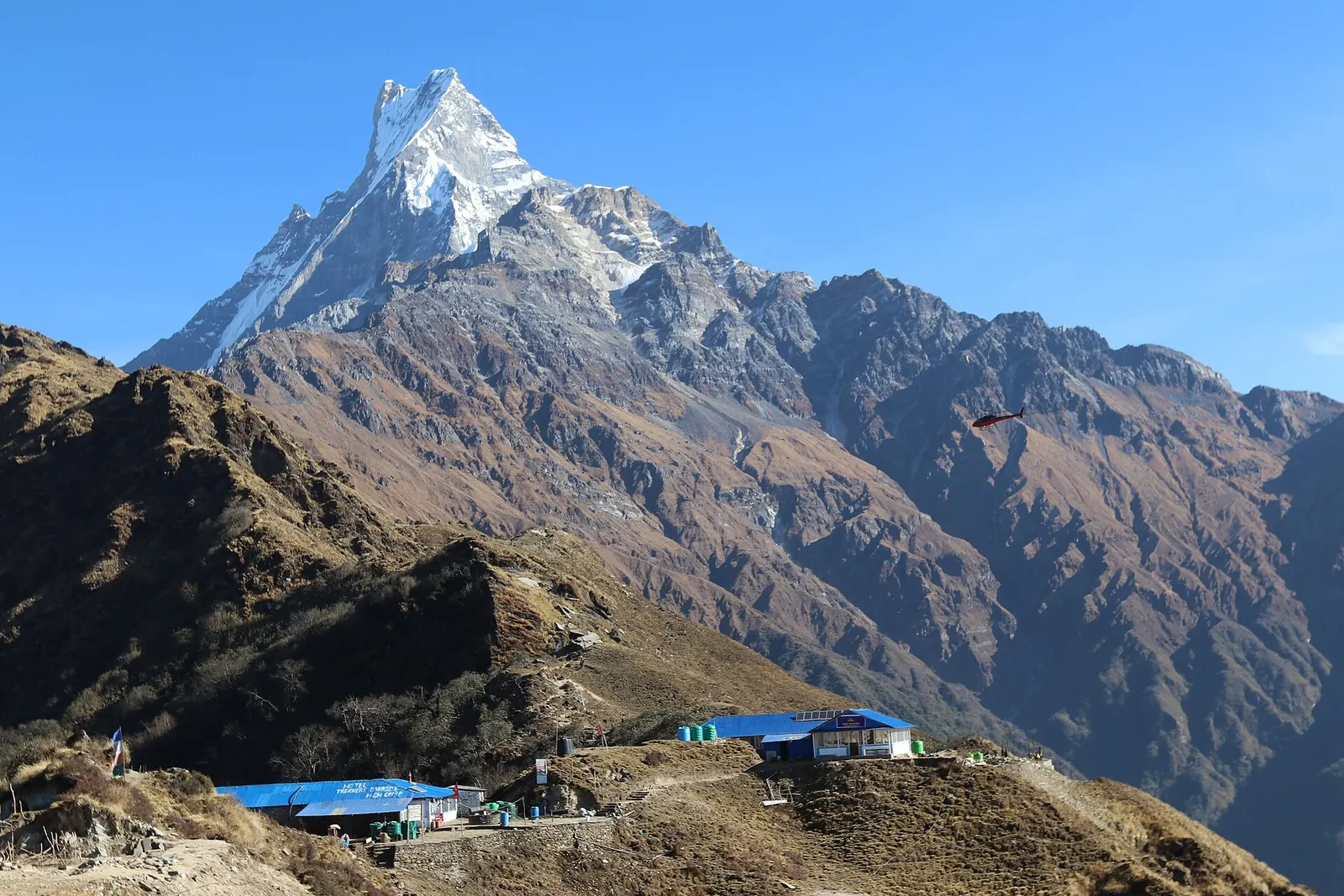
Trek stop · 3,550 m
The highest lodges on the Mardi Himal ridge, at about 3,550 m, facing Machhapuchhre and the Annapurna range.
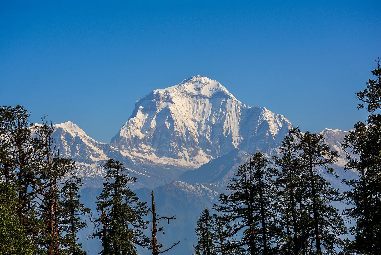
Trek stop · 3,300 m
A forested hilltop at about 3,300 m south-west of Ghorepani with a community lodge and views of Dhaulagiri and the Annapurnas.
Trek stop · 2,214 m
A Magar farming village below Ghorepani on the Khopra Danda trek, with homestays and simple lodges.
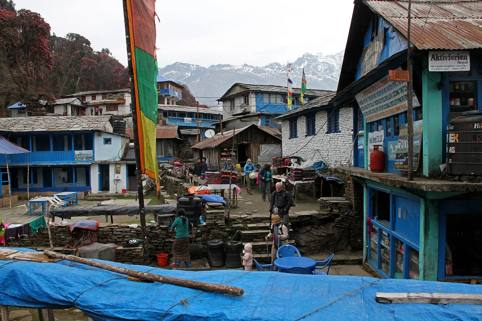
Trek stop · 2,630 m
A forest clearing of lodges between Ghorepani and Ghandruk, facing Annapurna South and Machhapuchhre.
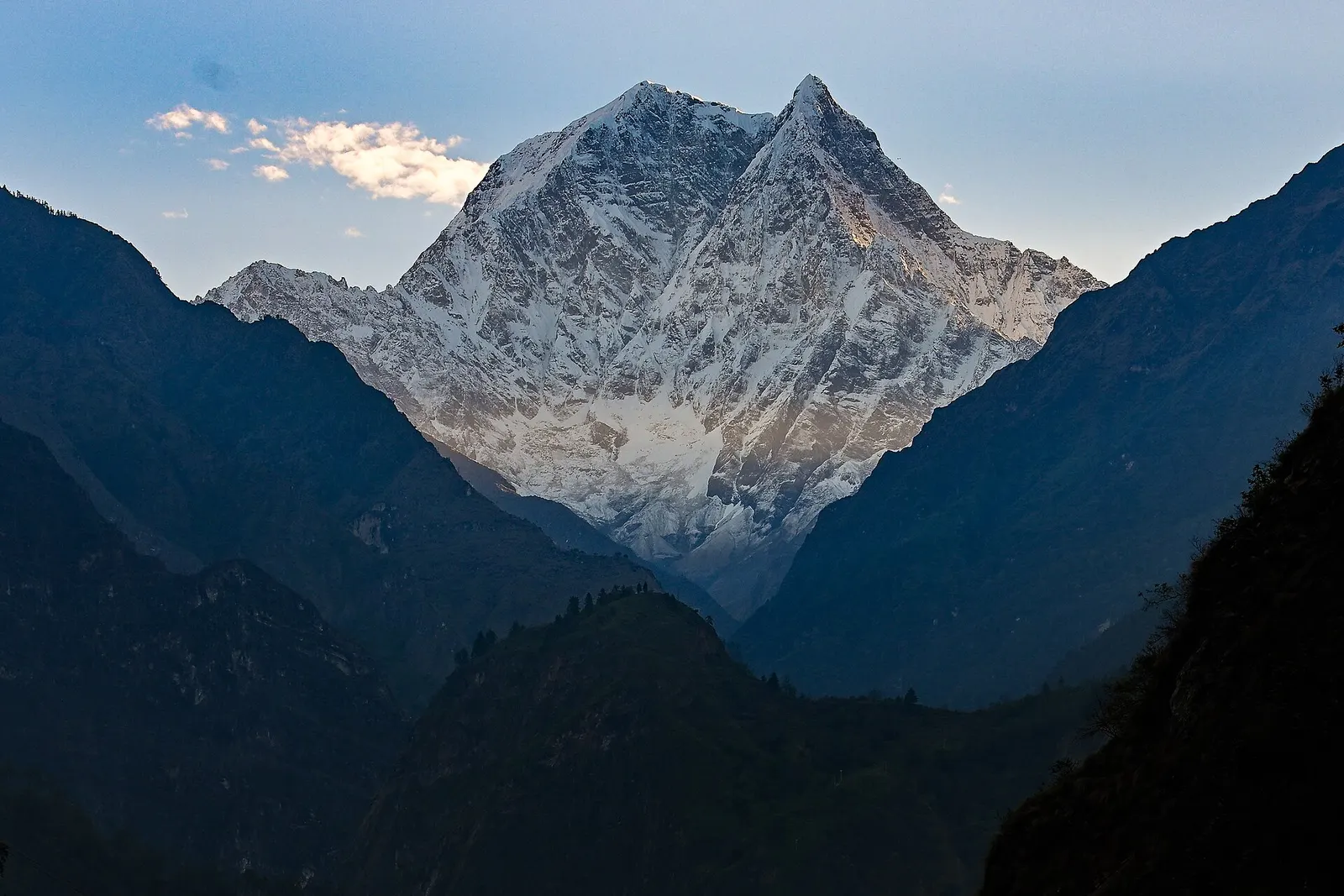
Trek stop · 1,200 m
A warm, low-lying village beside the Kali Gandaki, known for the hot springs by the river and as the junction for the climb to Ghorepani.
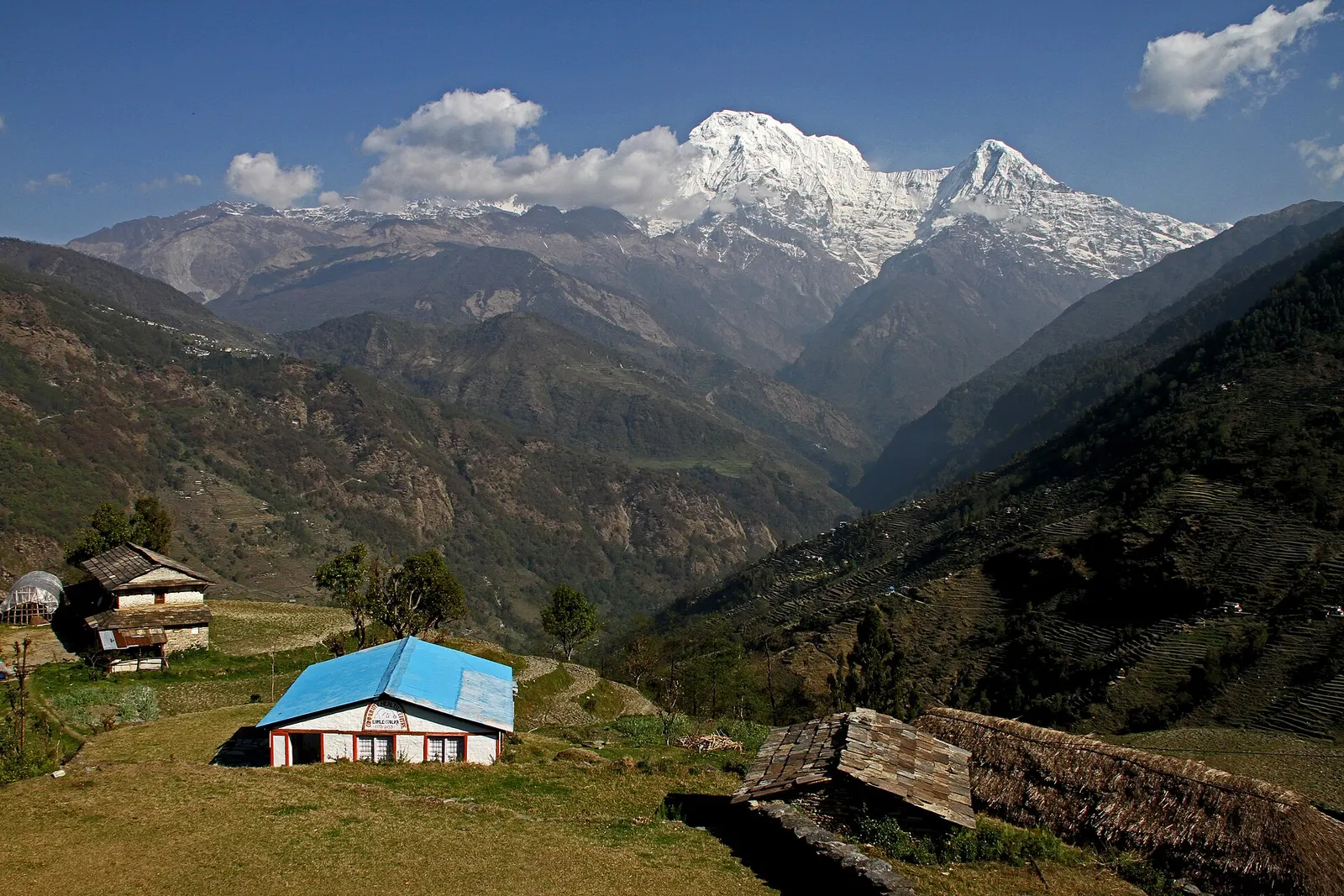
Trek stop · 1,700 m
A small farming village in the forest between Bhichok Deurali and Landruk, on the eastern approach to Annapurna Base Camp.
Trek stop · 2,010 m
A Magar village at the top of the long stone staircase from Tikhedhunga, on the main trail to Ghorepani and Poon Hill.
The name comes from Annapurna, the Hindu goddess of food and nourishment. People in the region are mainly Gurung and Magar in the southern hills, Thakali along the Kali Gandaki, Manange (Nyeshangba) in Manang, and Loba in Mustang, with Brahmin, Chhetri and Dalit communities in the lower valleys. Gurung villages such as Ghandruk have long sent men to the Gurkha regiments, and their earnings shaped the stone houses and schools of the hills. In the north, Buddhist monasteries, chortens and prayer walls mark the trails. Machhapuchhre is considered sacred and is closed to climbing, and in the Sanctuary meat has traditionally not been taken above Chhomrong out of respect for the mountain.
Annapurna I was first climbed in June 1950 by the French climbers Maurice Herzog and Louis Lachenal, the first ascent of any 8,000 m peak. Trekking grew from the 1970s, and by the early 1980s deforestation and rubbish were serious problems. In 1986 the King Mahendra Trust for Nature Conservation, now the National Trust for Nature Conservation (NTNC), launched the Annapurna Conservation Area Project, Nepal's first conservation area. It pioneered a model in which local communities manage forests and visitor entry fees are reinvested in conservation, schools and trails. NTNC reports more than 1,200 species of flowering plants, over 100 mammals including snow leopard, and more than 500 bird species in the area.
Annapurna Base Camp trekWith a guide
A 7 to 10 day teahouse trek from the Pokhara trailheads to the Sanctuary and back. Guide, porter, ACAP permit and transport are arranged through a licensed local operator.
indicative, from about US$700 with a guide
Poon Hill sunrise trekWith a guide
A three to five day loop to the Ghorepani ridge and the Poon Hill viewpoint. A good first Himalayan trek. Arranged through a licensed local operator.
indicative, from about US$300 with a guide
Jhinu hot springsBookable locally
Natural hot pools by the Modi Khola, a 20 to 30 minute walk below Jhinu Danda village. Pay the entry fee at the pools.
indicative, about NPR 150 entry
Poon Hill loop
About 3-5 days via Ghorepani for sunrise at Poon Hill, often combined with Ghandruk or extended down to Tatopani.
Annapurna Circuit
About 10-18 days around the massif via Manang and Thorong La to Muktinath, now partly on roads; side trips to Tilicho Lake are common.
Mardi Himal trek
About 4-7 days up a forested ridge via Forest Camp to viewpoints below Machhapuchhre.
Village stays
Spend a night or two in Ghandruk or Landruk with short walks, no altitude worries and a visit to a local museum.
Forecast for 2,012 m. Conditions change fast in the mountains.
Weather data: MET Norway, licensed CC BY 4.0. A forecast, not a guarantee.
Mar-Apr, Oct-Nov
Teahouses in every village on the main routes. Lodges in the Sanctuary above Chhomrong are simple and limited in number, so they fill up in October and November.
Teahouses and lodges in nearly every village on the main routes; homestays in Gurung villages. Lodges in the Sanctuary above Chhomrong are limited and fill up in October and November.
No partner stays are listed here yet. List a property.
Dal bhat is the staple, often with vegetables grown in the village. Try Gurung bread, a fried flatbread, with honey at breakfast. In the Sanctuary above Chhomrong, meat is not served by local custom, out of respect for the area's sacred character.
Almost all treks start from Pokhara, about 200 km west of Kathmandu. Jeeps and buses reach the trailheads in a few hours; Jomsom has flights from Pokhara for the north side.
Nearest hub: Pokhara
Permit required
An Annapurna Conservation Area entry permit is needed for all treks in the region and is checked at posts along the trails. Some areas, such as Nar-Phu and Upper Mustang, are restricted and need an extra special permit.
Verify before travel: permit rules and fees change. Checked 2026-10-06 against Annapurna Conservation Area Project (NTNC).
Safety
This place is above 3,000 m. Altitude illness can affect anyone, whatever their fitness. Gain height slowly, know the symptoms, never go higher with symptoms, and descend if they get worse. This is general information, not medical advice: talk to a doctor before you travel and buy insurance that covers helicopter evacuation at the altitudes you plan to reach. The upper Modi Khola valley between Deurali and Machhapuchhre Base Camp has known avalanche risk after heavy snow, mainly in late winter and spring; ask locally about conditions and follow any closures.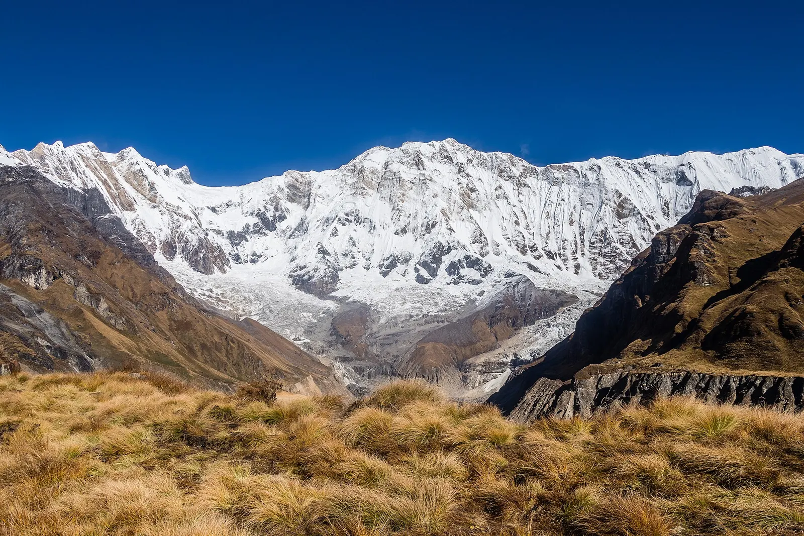
A teahouse trek from the road heads north of Pokhara through Gurung villages and the bamboo forest of the Modi Khola gorge into the Annapurna Sanctuary, to Annapurna Base Camp at about 4,130 m.
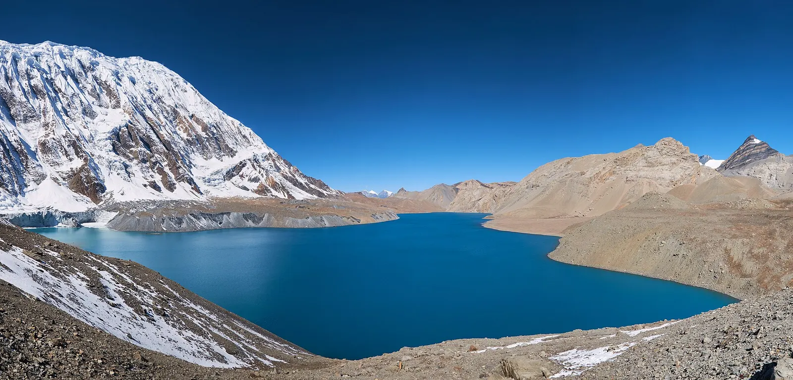
A teahouse journey around the Annapurna massif, from the green Marsyangdi valley through Manang and over the Thorong La (5,416 m) to Muktinath and the dry Kali Gandaki valley.
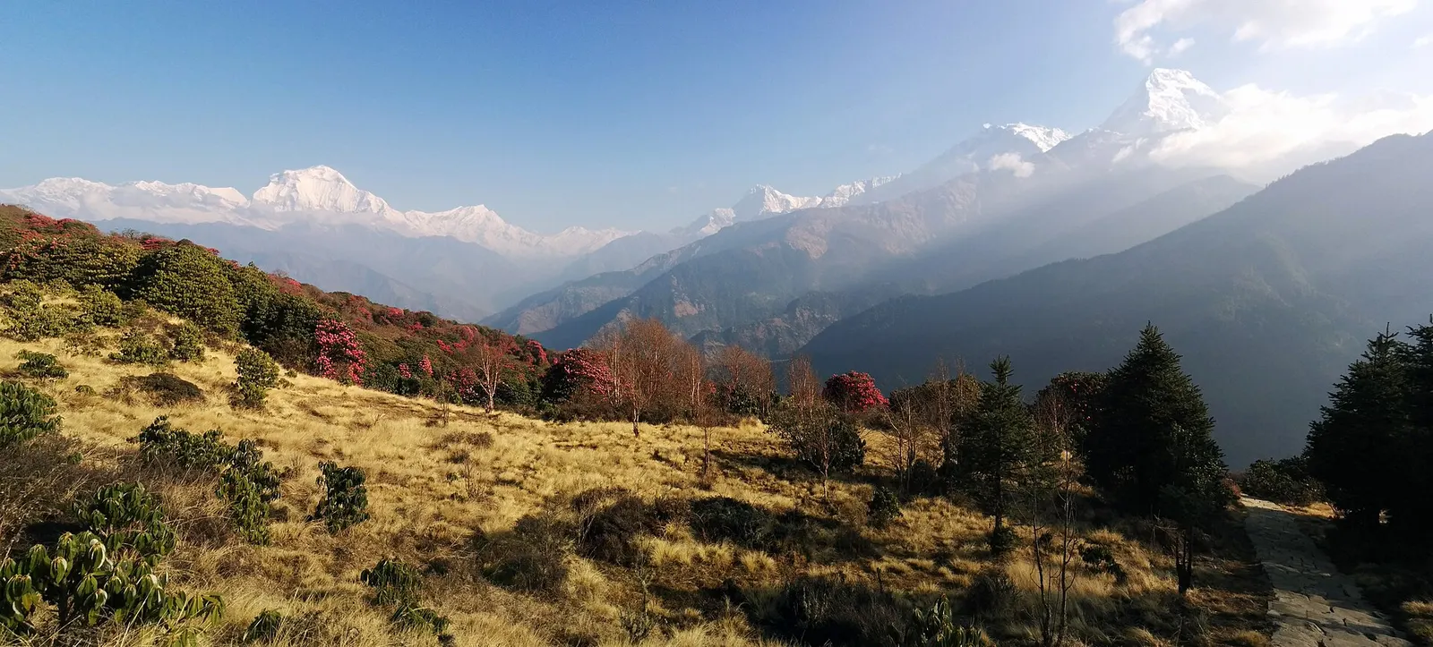
A short teahouse loop from Pokhara through Magar and Gurung villages and rhododendron forest to Ghorepani and the Poon Hill viewpoint (3,210 m), returning via Tadapani and Ghandruk.
Yes. All trekkers need an Annapurna Conservation Area entry permit, and restricted areas like Nar-Phu and Upper Mustang need an extra special permit. Check current guide and TIMS rules too.
The Poon Hill loop via Ghorepani, about 3-5 days and reaching 3,210 m, is the usual choice for a first trek. Ghandruk village walks are even shorter.
October-November and March-April. Winter suits lower treks, and the monsoon is wet south of the range but drier in Manang and Mustang.
Yes, above about 2,500 m, particularly at Annapurna Base Camp (about 4,130 m) and Thorong La (5,416 m). Build in acclimatisation days.
Travel to Pokhara, then take a jeep or bus to trailheads such as Nayapul, Kimche or Ghandruk, or to Besisahar for the Circuit.
Poon Hill. It takes four or five days, stays below 3,300 m, and has teahouses every few hours. Annapurna Base Camp is the next step up in length and altitude.
Yes. All treks in the Annapurna Conservation Area need an ACAP permit, issued by the National Trust for Nature Conservation in Kathmandu and Pokhara. Check also the current trekker registration and guide rules before you go.
Poon Hill and Ghandruk are walkable in December and January with cold nights. The Sanctuary can have deep snow and avalanche risk after storms, so check conditions before going above Deurali.
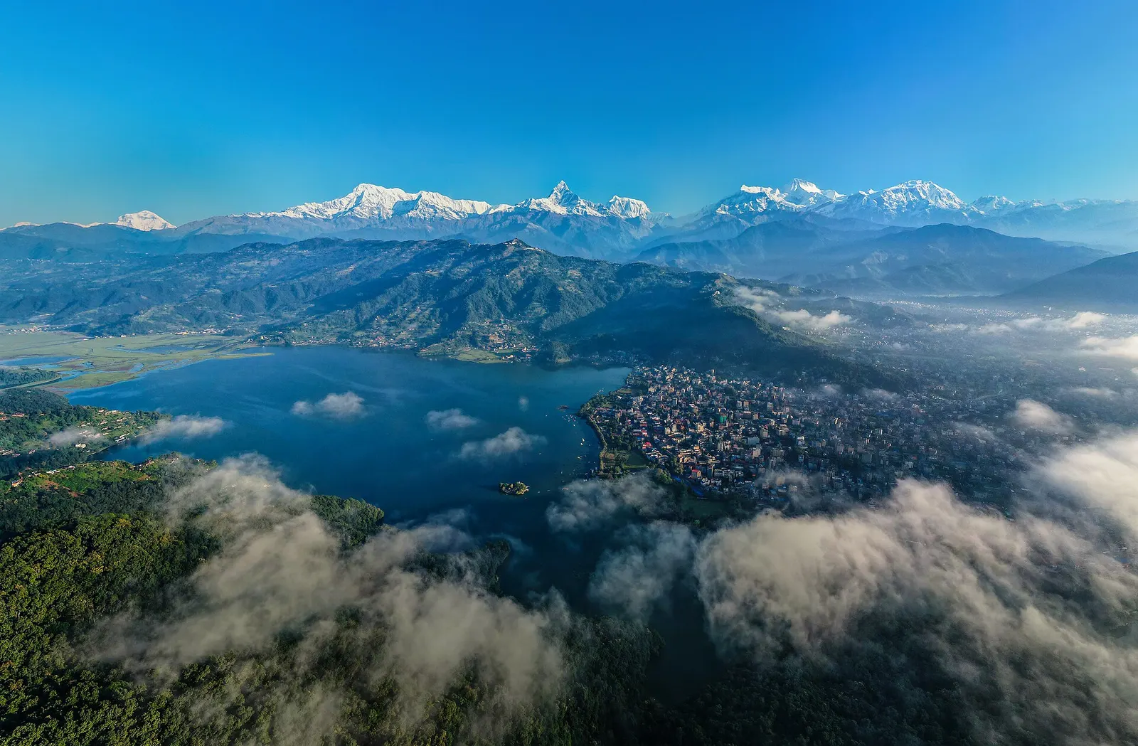
Town or village · 822 m
A lakeside city about 200 km west of Kathmandu, with the Annapurna range and Machhapuchhre rising close to the north.
Town or village · 3,519 m
A high stone village in the upper Marsyangdi valley below Annapurna III and Gangapurna, where Circuit trekkers stop to acclimatise.
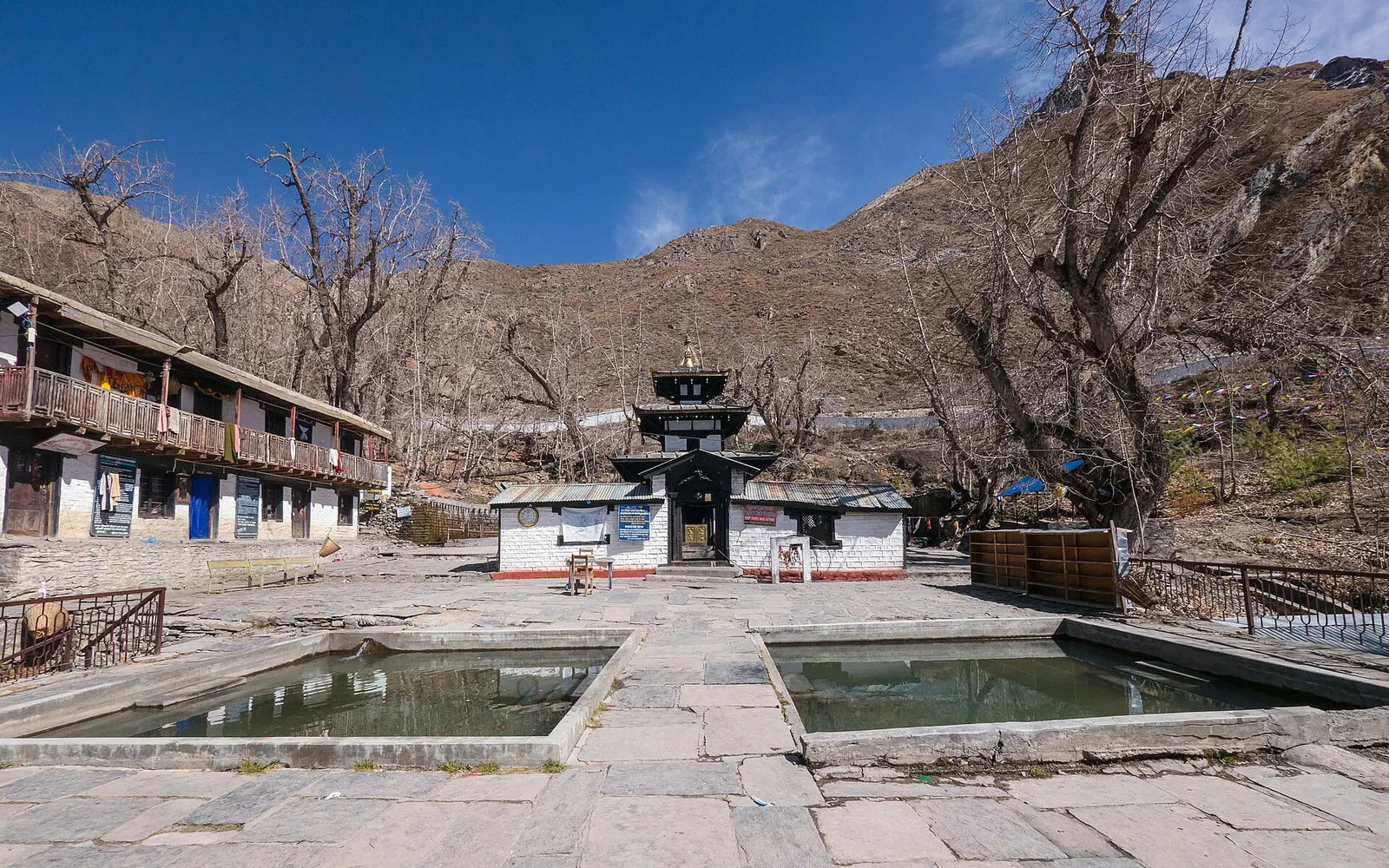
Temple, monastery or heritage site · 3,762 m
A high temple complex below the Thorong La, sacred to Hindus as Mukti Kshetra and to Buddhists as Chumig Gyatsa.