

Lake · 650 m
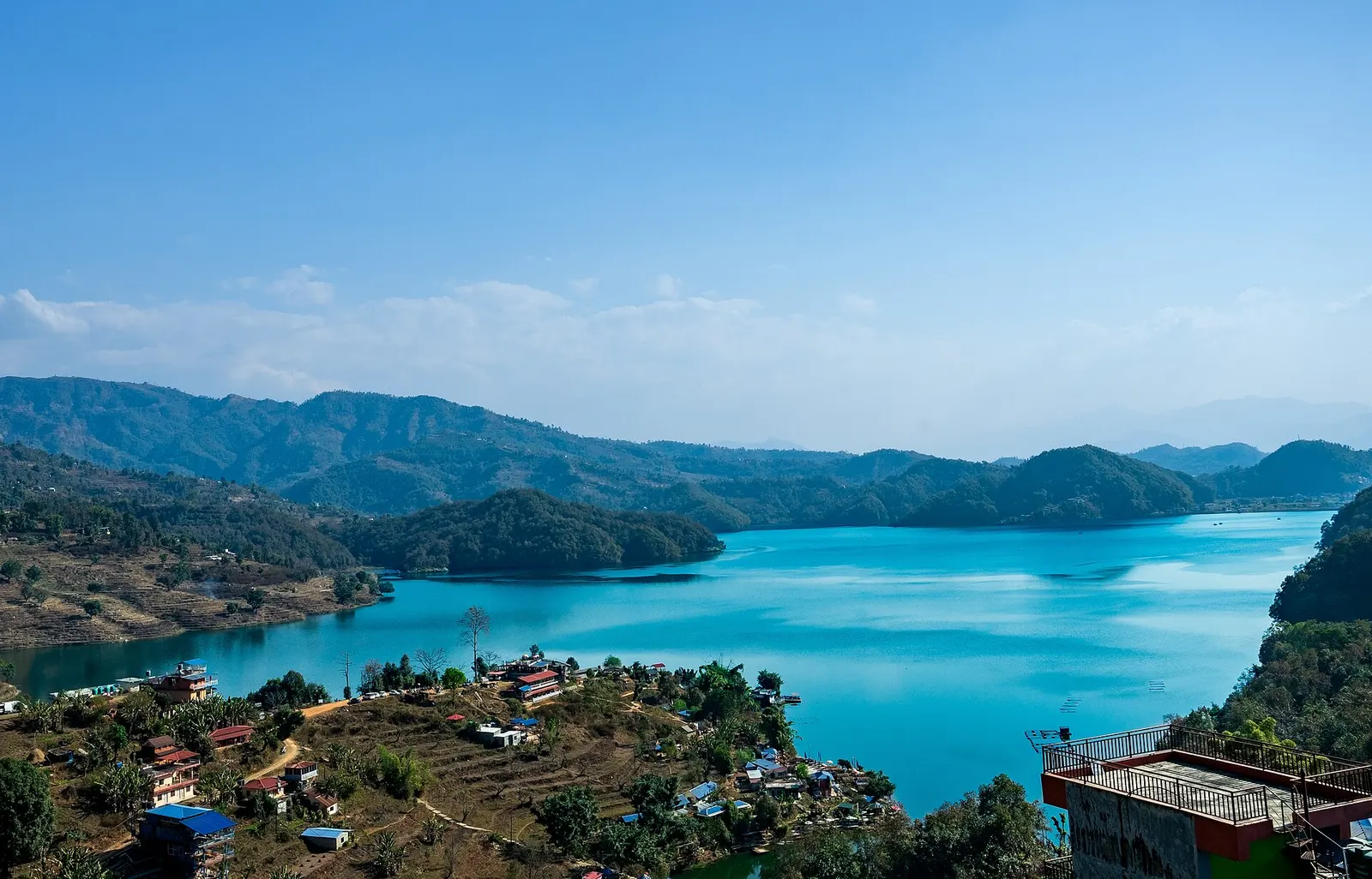
Begnas Lake
A quieter freshwater lake in the east of the Pokhara valley, ringed by forested ridges, rice terraces and fish farms.
Pokhara & Annapurnaपोखरा
A lakeside city below the Annapurnas, and the starting point for most treks in the region.
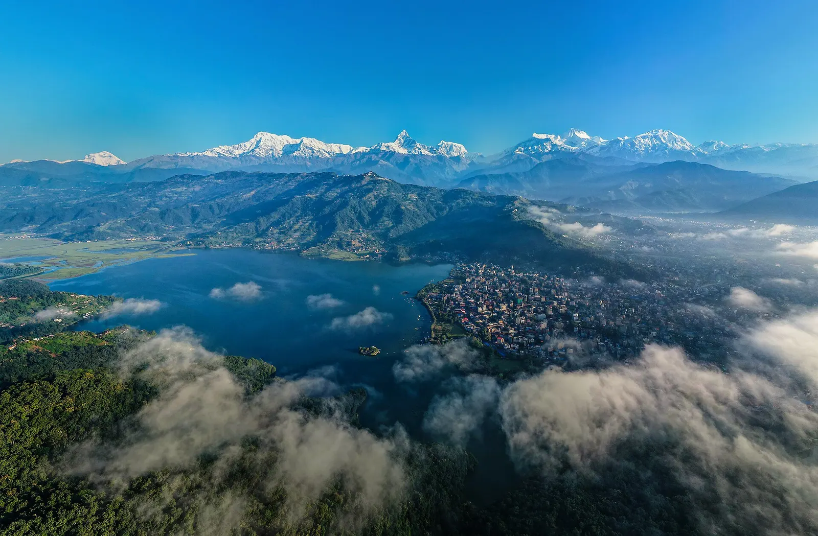
Pokhara is Nepal's second-largest city and the base for almost every trek in the Annapurna region. It spreads across a wide valley floor at around 820 m, and on a clear morning the snow peaks of Annapurna, Machhapuchhre (Fishtail) and Dhaulagiri stand only 25-35 km away in a straight line. Most visitors stay in Lakeside (Baidam) or quieter Damside on Phewa Tal, then spend a few days on the lake, the hills and the gorges before or after a trek.
The city's sights sit close together. Phewa Tal is the large lake that Lakeside faces, with rowing boats and mountain reflections. Tal Barahi is the small pagoda temple on an island in Phewa, reached by boat. Begnas Lake, about 13-15 km east, is a quieter lake with fish farms and village walks, and Rupa Taal lies just beyond it on a ridge. Sarangkot is the ridge above the north shore, known for sunrise views and paragliding launches. Kapuche Lake is a small glacial lake at the foot of the Annapurna range, a day hike north of the city.
South of the lake are three linked stops: Davis Falls, where the outflow of Phewa drops into a rock chasm and vanishes underground; Gupteshwor Cave, a Shiva cave shrine across the road where the same water reappears; and the World Peace Pagoda, a white Buddhist stupa on the forested ridge above the lake's south shore. The International Mountain Museum, near the old airport, covers Himalayan peaks, climbers and mountain cultures. The Seti Gorge is the narrow, milky-white river canyon that cuts through the middle of the city and can be looked into from its bridges.
Pokhara is also the hub for paragliding, ultralight flights and boating, and the place where trekkers buy supplies, pick up permits and recover afterwards. Mornings are usually clearest for mountain views; cloud often builds by late morning, especially from June to September.
The story
On a small island in Phewa Lake stands Tal Barahi, the temple of Barahi, a protective goddess linked to the boar avatar of Vishnu who is believed to guard the waters. Above the city rises Machhapuchhre, the Fishtail, held sacred to Shiva. Climbing it has not been permitted since a 1957 attempt that turned back below the summit, and it has no officially recorded ascent.
Lake · 650 m
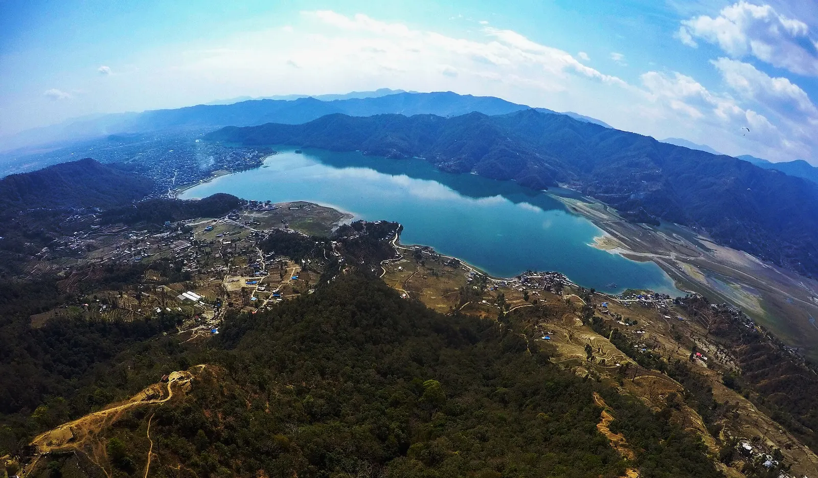
A quieter freshwater lake in the east of the Pokhara valley, ringed by forested ridges, rice terraces and fish farms.
Viewpoint · 780 m
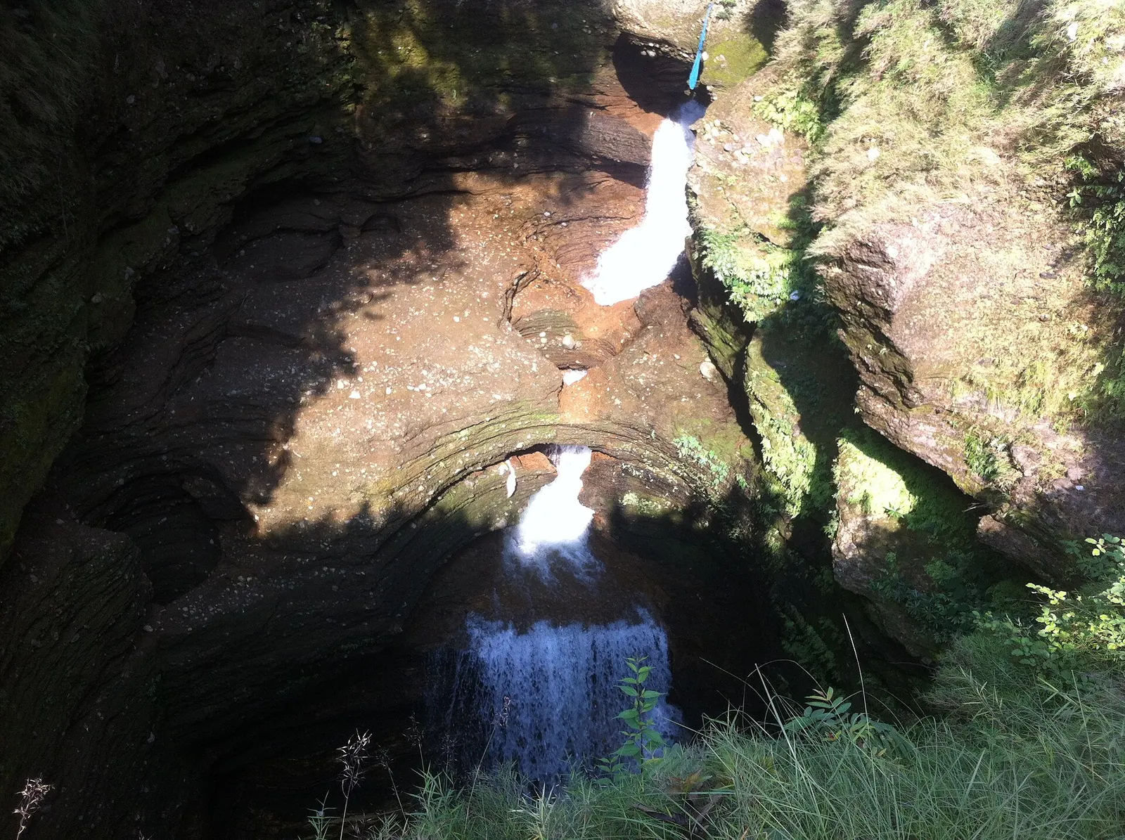
A waterfall in south Pokhara where the outflow of Phewa Tal drops into a narrow chasm and disappears underground.
Temple, monastery or heritage site · 778 m
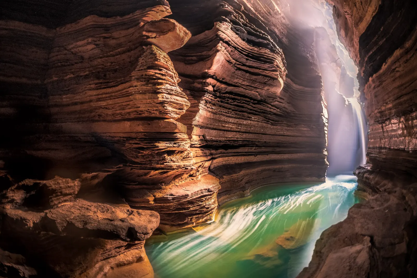
A Shiva cave shrine in south Pokhara, with a lower passage that ends behind the falling water of Davis Falls.
Temple, monastery or heritage site · 797 m
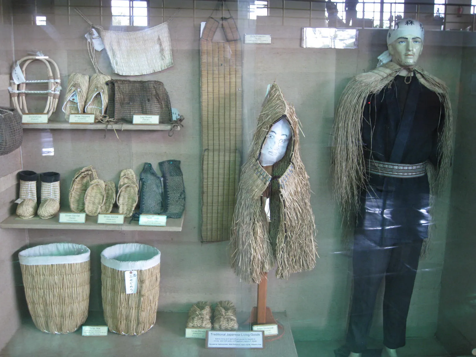
A museum in south Pokhara on the Himalaya's peaks, the people who climb them and the communities who live among them.
Lake · 2,546 m
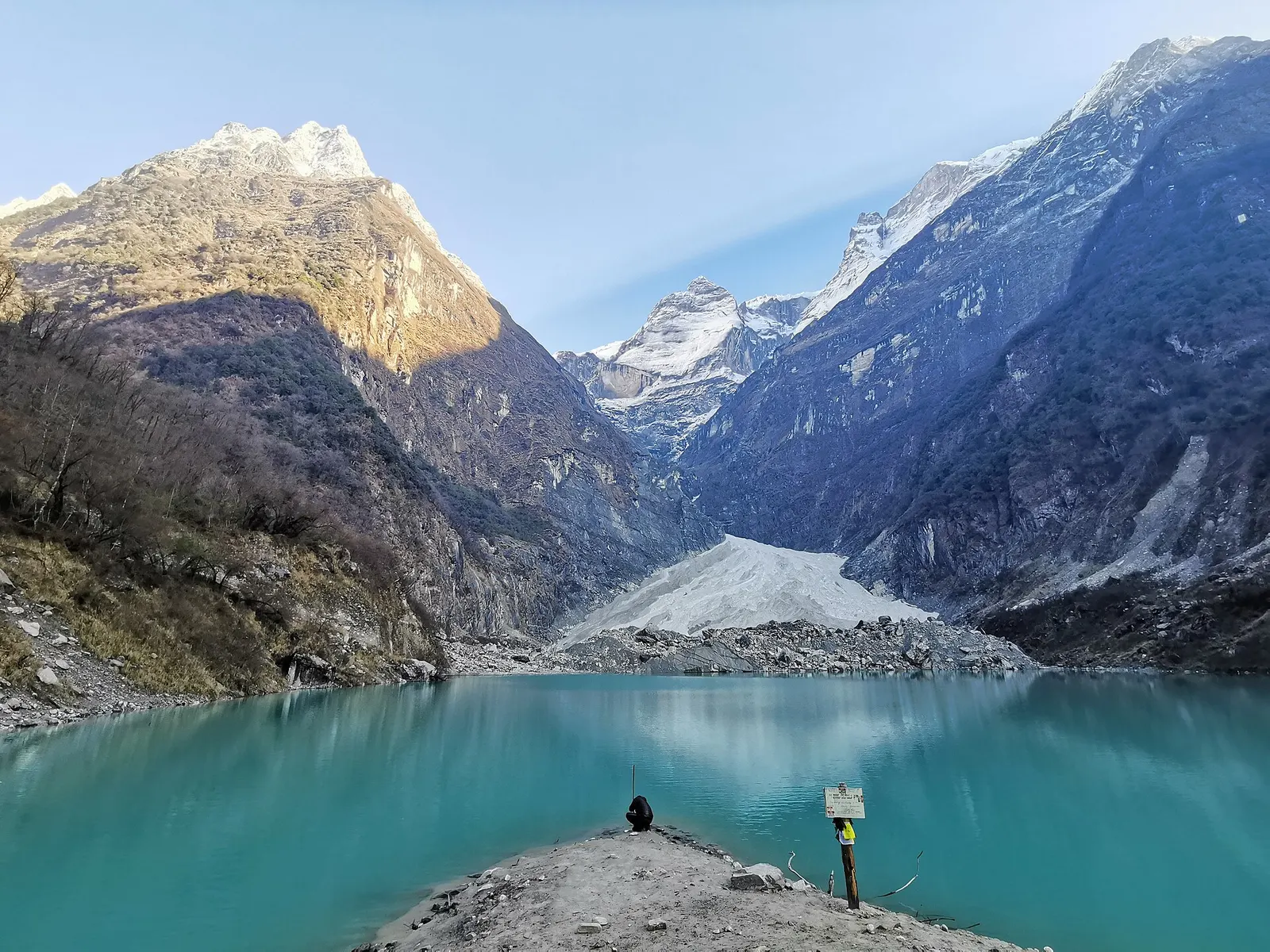
A glacier lake at about 2,546 m beneath Annapurna II and Lamjung Himal, reached by a short trek from the Gurung village of Sikles.
Viewpoint · 2,517 m
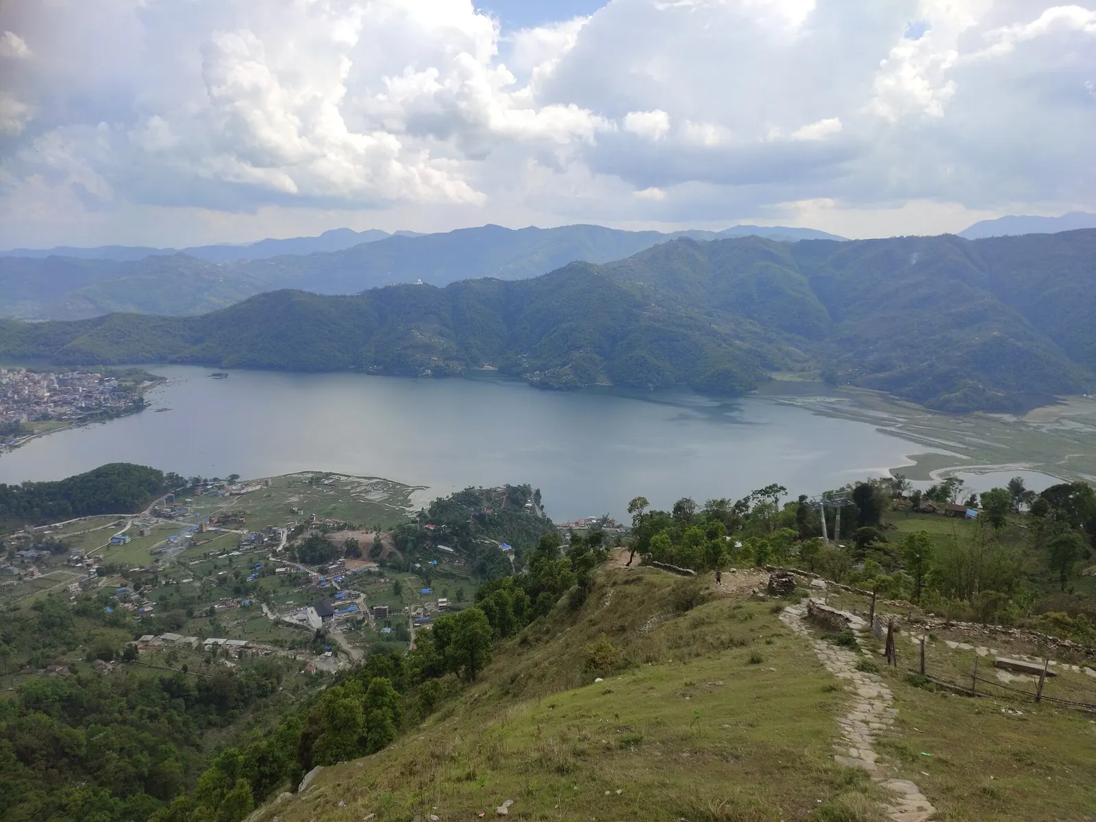
A forested hill at about 2,500 m west of Phewa Tal, with a temple and pond on top and views of the Annapurna and Dhaulagiri ranges.
Lake · 742 m
Pokhara's main lake, with rowing boats, an island temple and Machhapuchhre reflected on still mornings.
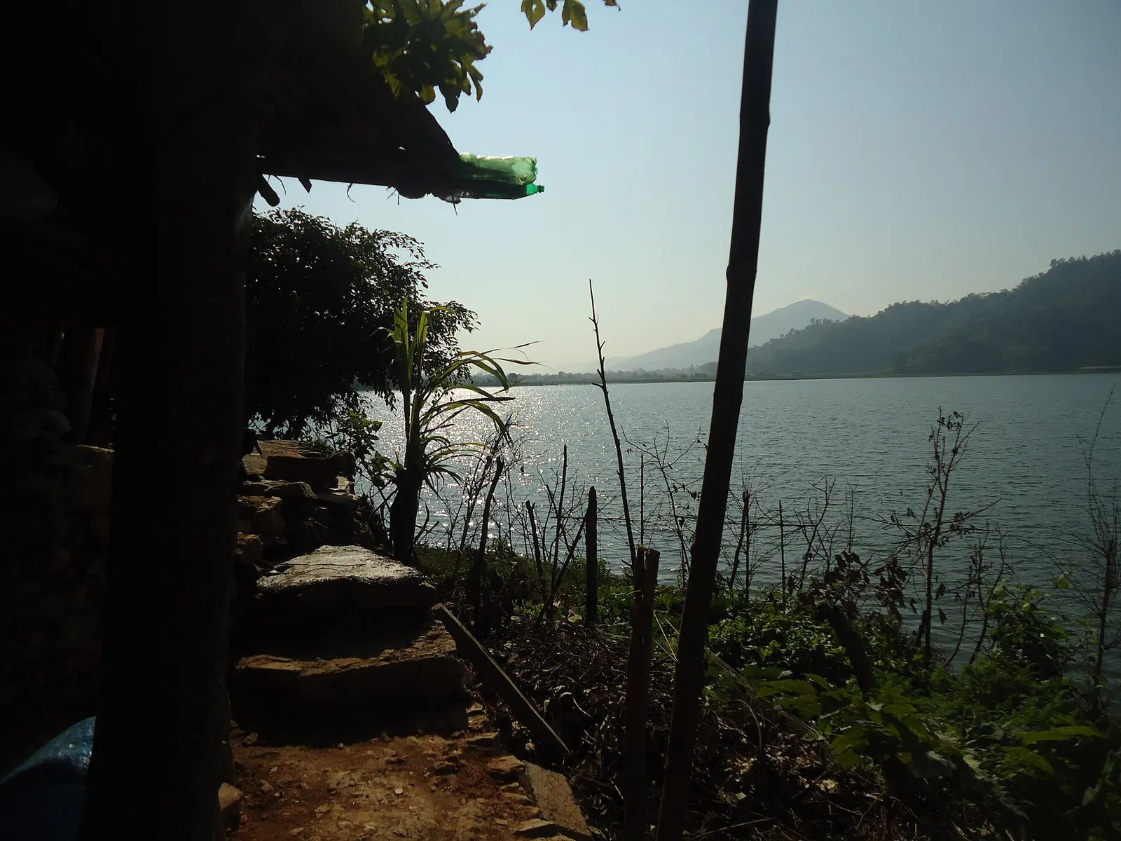
Lake · 600 m
A small, shallow lake beside Begnas in the east of the Pokhara valley, managed by a local fisheries cooperative and rich in waterbirds.
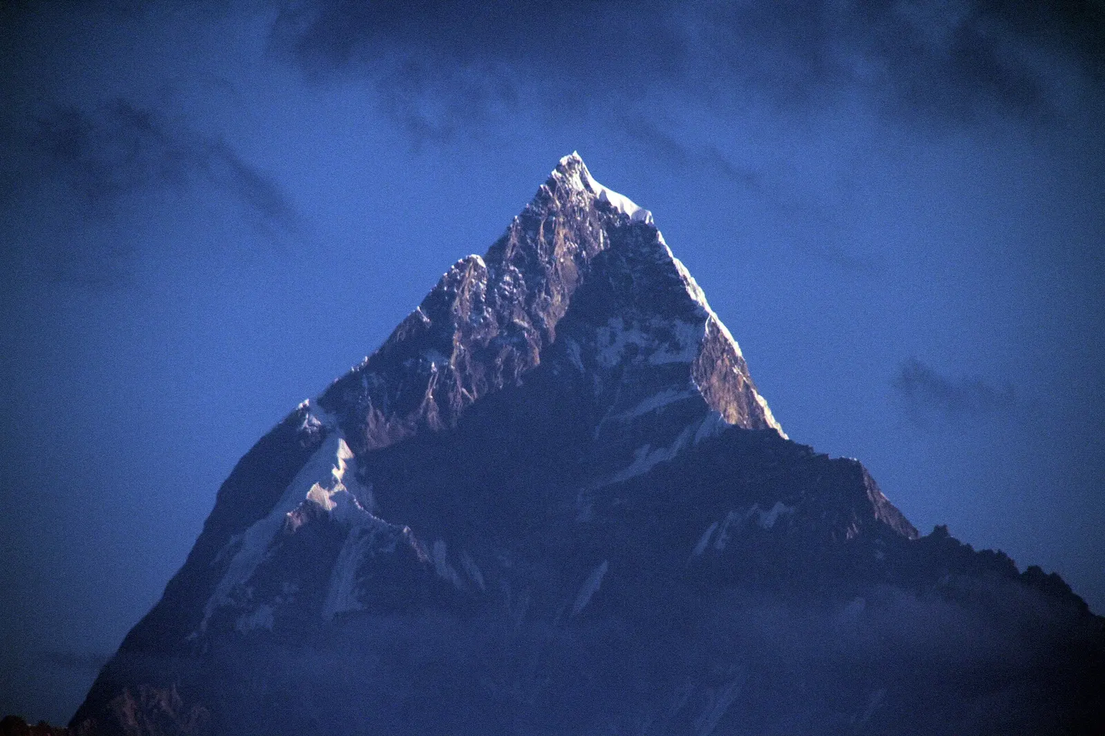
Viewpoint · 1,600 m
A ridge-top viewpoint on Pokhara's western edge, known for sunrise over the Annapurnas and as the city's paragliding launch.
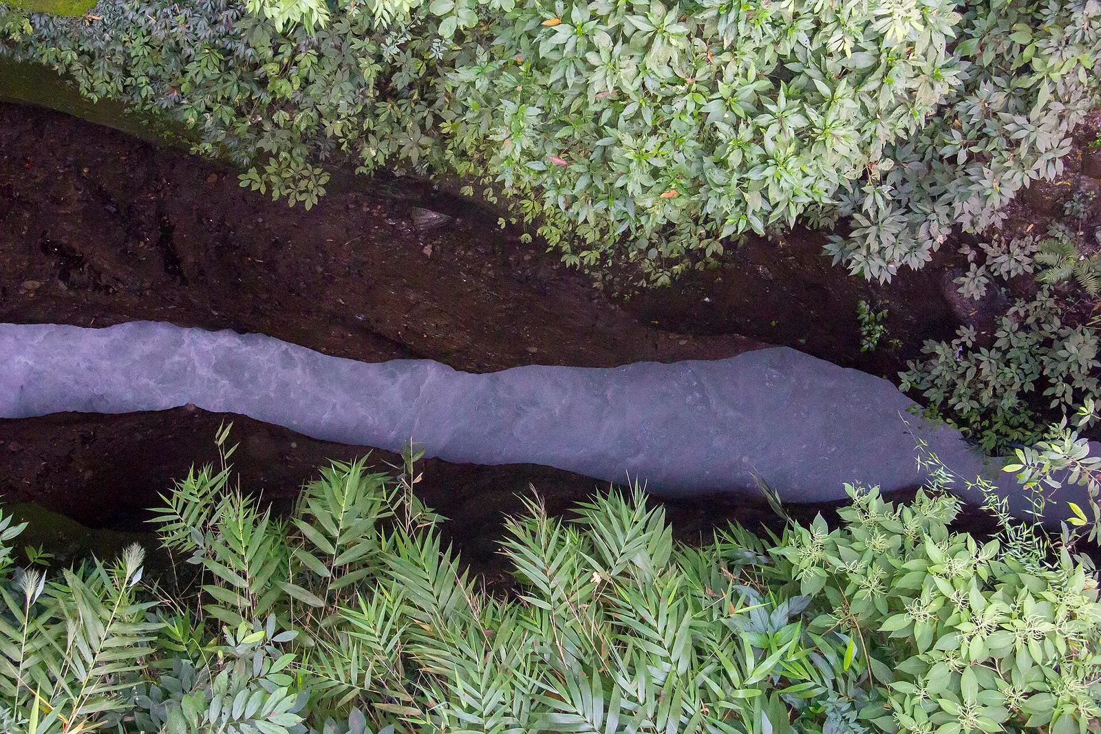
Viewpoint · 923 m
A narrow canyon where the milky-white Seti Gandaki runs deep below the streets of Pokhara, best seen from the city's bridges.
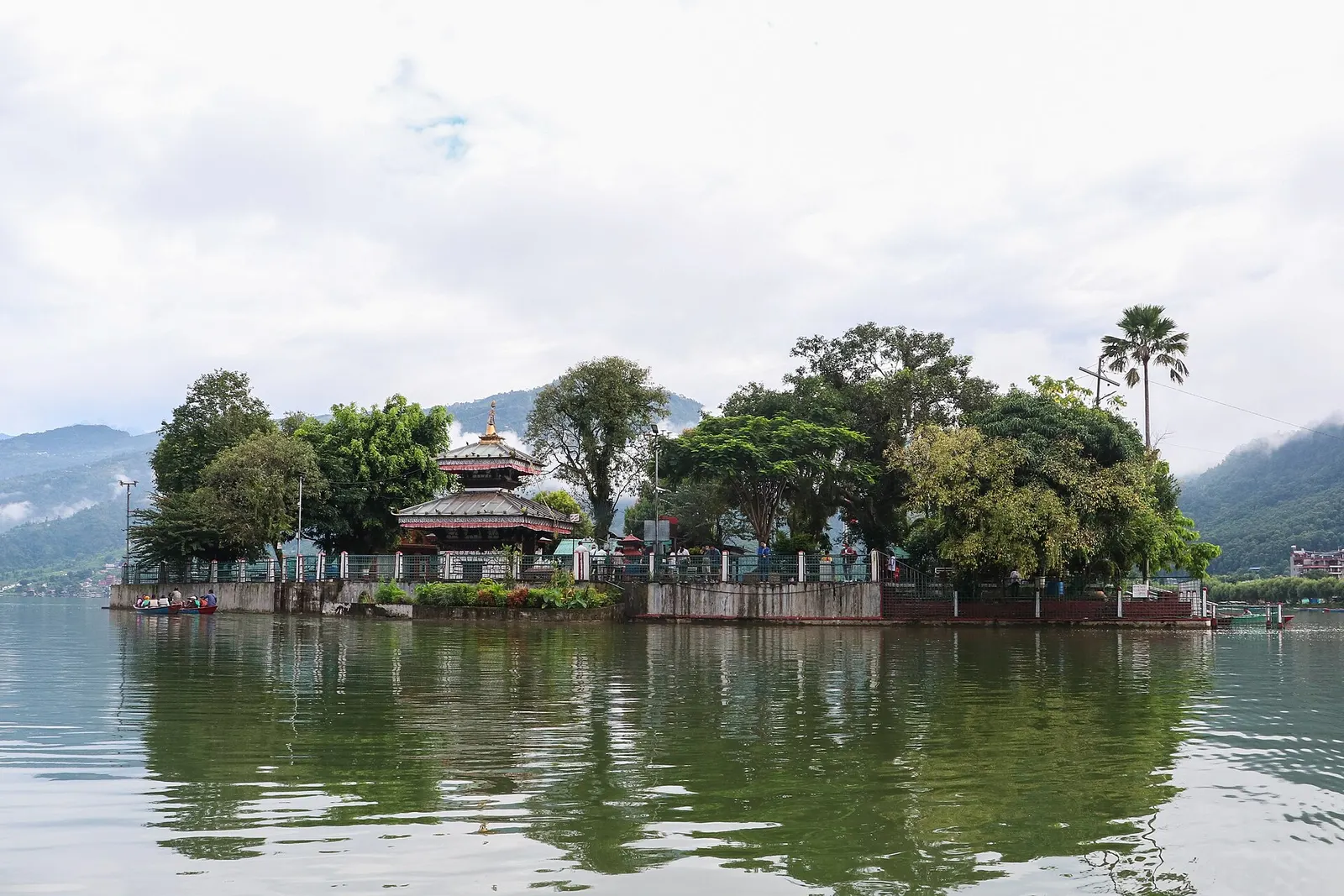
Temple, monastery or heritage site · 742 m
A small two-tiered pagoda temple to the goddess Barahi on a wooded island in Phewa Tal, reached only by boat.
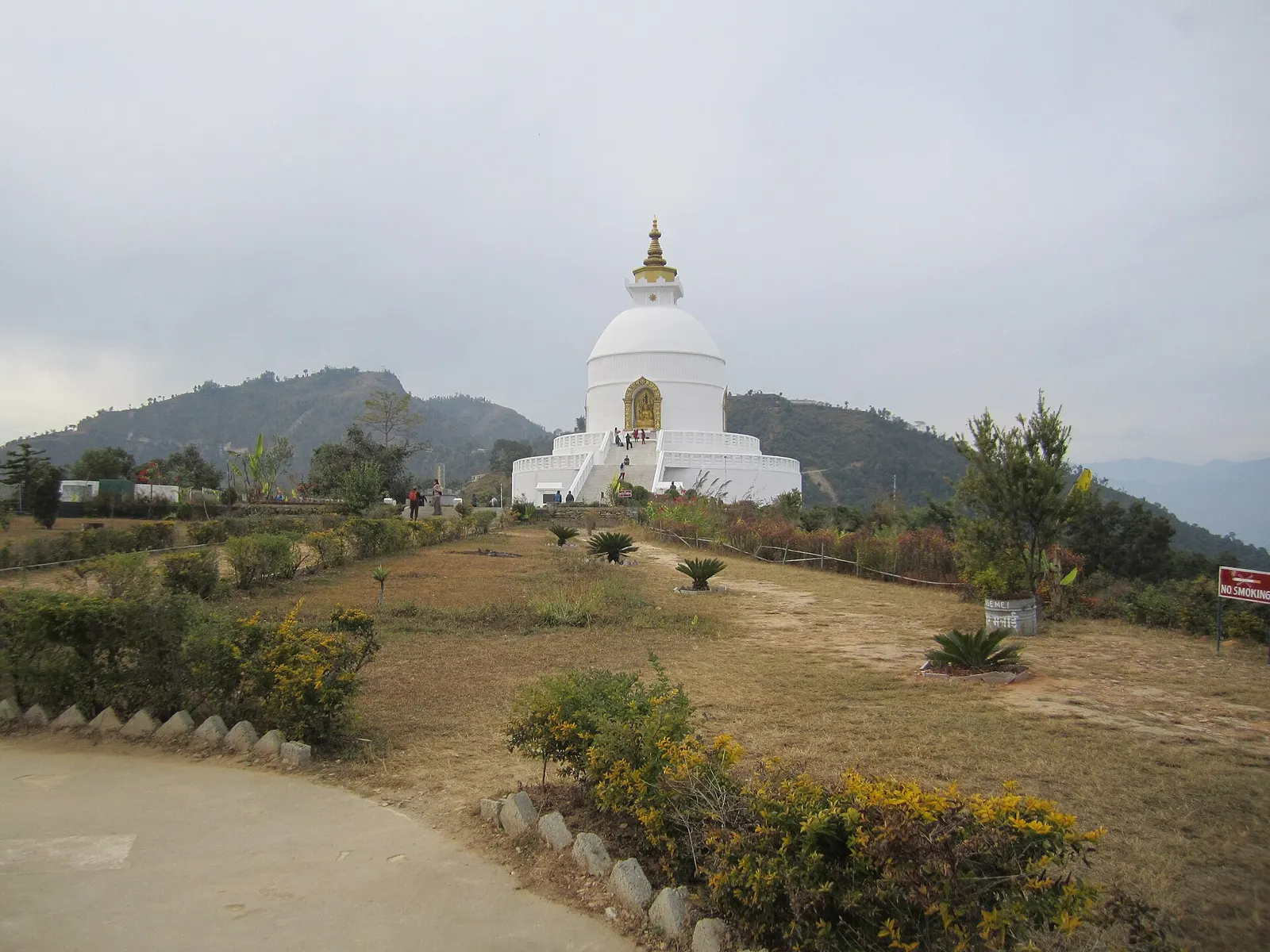
Temple, monastery or heritage site · 1,100 m
A white Buddhist peace stupa on Anadu Hill, looking over Phewa Tal and Pokhara to the Annapurna range.
The Pokhara Valley sits on deep deposits of gravel and silt washed down from the Annapurna range by prehistoric floods; geologists link much of this material to catastrophic events in the Sabche Cirque, and a 2023 study dated one huge landslide to around 1190 AD. Settlement grew under the Kaski kingdom, one of the Chaubisi (24) principalities of the western hills, and the valley lay on trade routes between the Indian plains and Tibet. In the 18th century a king of Kaski invited Newar traders from Bhaktapur to found a market near the Bindhyabasini temple, which became the old bazaar. Pokhara was absorbed into the expanding Gorkha kingdom in 1786.
Today the city is home mainly to Khas (Brahmin and Chhetri), Gurung (Tamu) and Magar communities, with an established Newar population in the old town and several Tibetan settlements, such as Tashi Palkhel and Tashi Ling, founded by refugees from the 1960s. Many hill families around Pokhara have a tradition of service in the Gurkha regiments. The first road, the Siddhartha Highway, arrived in 1968, after which tourism grew quickly, especially along the lakeshore. Pokhara became a metropolitan city in 2017 when it merged with neighbouring Lekhnath, and the new Pokhara International Airport opened in January 2023.
Paragliding from SarangkotBookable locally
Tandem flights of about 20-30 minutes, usually in the late-morning thermals. Book a day ahead in the main seasons. Arranged through a licensed local operator.
indicative, about US$95
Boating on Phewa LakeBookable locally
Walk up to a boat station at Lakeside and hire a rowing boat, with or without a boatman, to Tal Barahi temple or across to the foot of the Peace Pagoda trail. No advance booking needed.
indicative, about NPR 600-900 an hour
Sarangkot sunriseFree
Drive or walk up to the Sarangkot viewpoint before dawn for the Annapurna and Dhaulagiri panorama. The walk up from Lakeside takes about two hours.
Short treks from PokharaWith a guide
Poon Hill, Annapurna Base Camp and Mardi Himal all start within two hours' drive of the city. Guides, porters and permits are arranged through a licensed local operator.
indicative, from about US$35 a day with a guide
Zip lineBookable locally
A long zip line runs down from near Sarangkot, often sold as a half-day combination with other activities. Arranged through a licensed local operator.
indicative, from about US$70
Ultralight flightBookable locally
Ultralight aircraft fly from Pokhara airport towards the Annapurnas at dawn, for 15 to 60 minutes. Book one or two days ahead through a licensed local operator.
indicative, from about US$120
Boat on Phewa Tal
Hire a rowing boat at Lakeside, stop at Tal Barahi island, and cross to the south shore for the forest trail up to the World Peace Pagoda.
Sunrise at Sarangkot
Drive, take the cable car or walk up the ridge above the lake before dawn for views of Dhaulagiri, the Annapurnas and Machhapuchhre.
Paragliding
Tandem flights launch from Sarangkot when thermals build in late morning and land near the lake. Choose a licensed operator and check weather conditions.
South-side half day
Combine Davis Falls, Gupteshwor Cave and the World Peace Pagoda in one loop, since they lie within a few kilometres of each other.
Museums and gorge
Visit the International Mountain Museum, then look into the Seti Gorge from the K.I. Singh bridge or Mahendrapul in the older part of town.
Day trip to Begnas
Head about 13-15 km east to Begnas Lake for a calmer lakeshore, boating and a walk up to Rupa Taal.
Forecast for 822 m. Conditions change fast in the mountains.
Weather data: MET Norway, licensed CC BY 4.0. A forecast, not a guarantee.
Feb-Apr, Oct-Dec
Lakeside (Baidam) has the widest choice and is walking distance from the boat stations. Damside, at the south end of the lake, is quieter. For a sunrise night, stay up on the Sarangkot ridge.
Lakeside (Baidam) has the widest range and is close to the boat stations; Damside at the south end of the lake is quieter. Sarangkot and the ridge near the World Peace Pagoda have small guesthouses for sunrise stays, and Begnas Lake has resorts and homestays.
Lakeside has cafés of every kind, but some of the best thakali sets are one street back from the main strip. Fresh lake fish, fried or in curry, is a local speciality.
Pokhara is about 200 km west of Kathmandu by road, or a short domestic flight. Tourist and local buses run daily from Kathmandu, Chitwan and the southern border towns.
Nearest hub: Kathmandu
None needed
No permit is needed to visit Pokhara itself. Some sights in the city charge entry fees. Treks into the Annapurna Conservation Area need an ACAP entry permit, which can be arranged in Pokhara.
Verify before travel: permit rules and fees change. Checked 2026-10-06 against Annapurna Conservation Area Project (NTNC).
Safety
For paragliding, ultralight and zip-line activities, ask to see the operator's licence and confirm what insurance covers. Wear the life jacket provided on the lake. Swimming in Phewa Lake is not recommended away from supervised areas.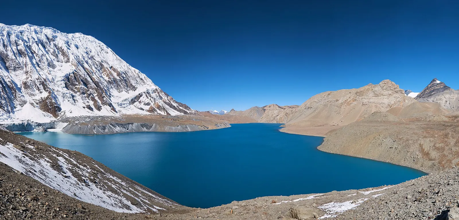
A teahouse journey around the Annapurna massif, from the green Marsyangdi valley through Manang and over the Thorong La (5,416 m) to Muktinath and the dry Kali Gandaki valley.
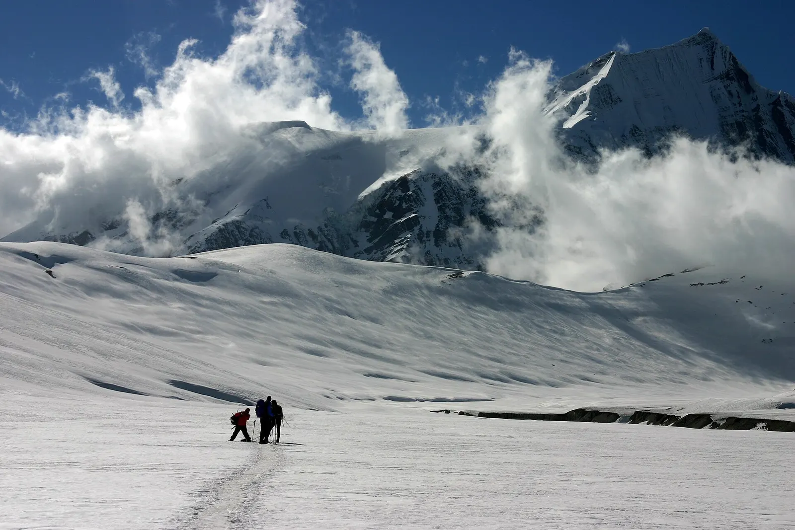
A remote camping trek from the Myagdi valley to Dhaulagiri Base Camp, over French Pass (about 5,360 m) into Hidden Valley and over Dhampus Pass to Marpha in Mustang.
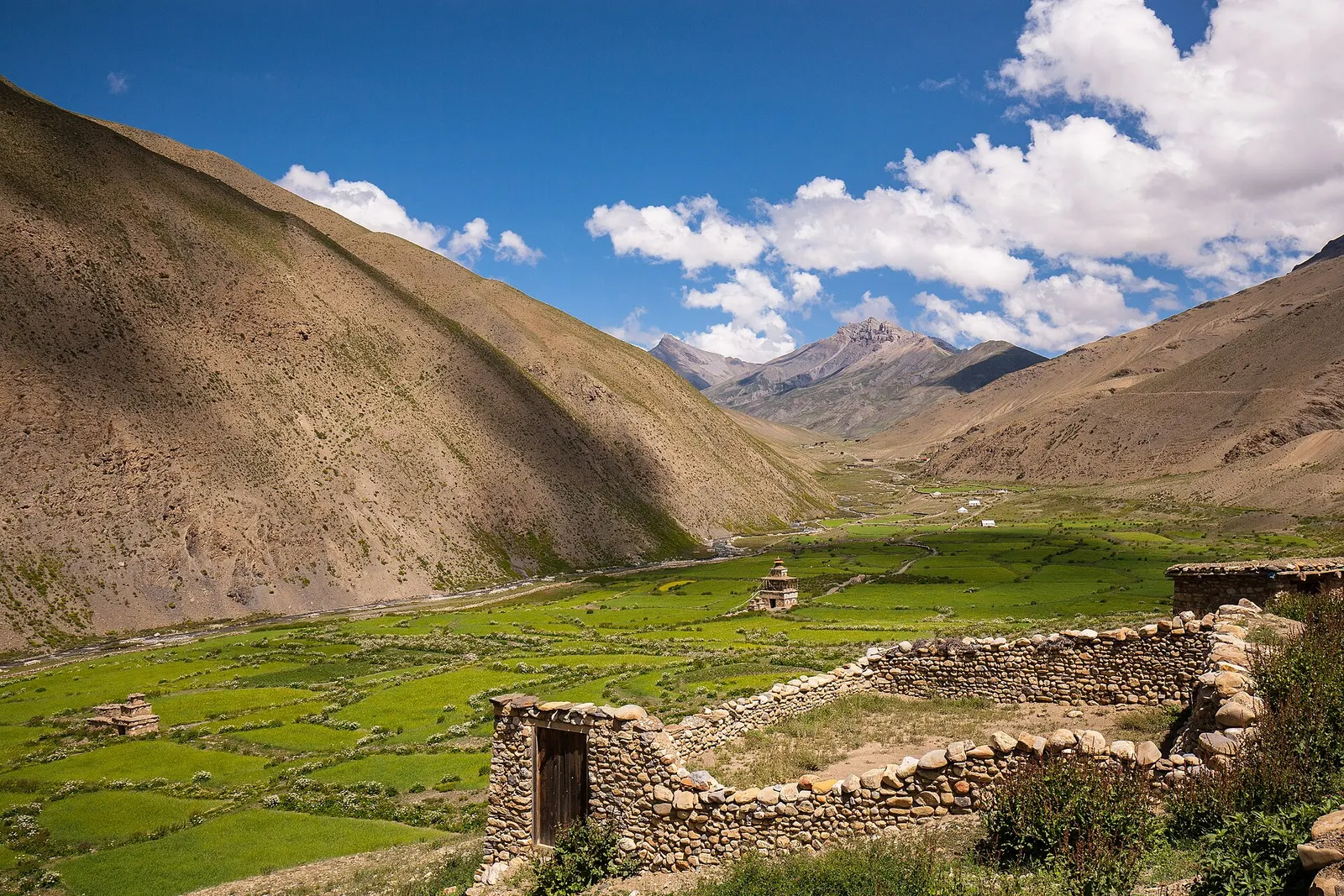
A remote camping traverse from Juphal up the Tarap valley to Dho Tarap, east over high passes to Chharka Bhot, and over the Sangda La into Mustang to finish at Jomsom.
Fly in about 25-30 minutes, or travel about 200 km by road along the Prithvi Highway, which usually takes 6-8 hours by tourist bus or car.
Two to four days covers the lake, Sarangkot, the south-side sights and a museum, with extra time if you are starting or finishing an Annapurna trek.
October to December and February to April give the most reliable mountain views. The monsoon from June to September is very wet and usually cloudy.
No permit is needed for the city. Some sights charge entry fees, and treks into the Annapurna Conservation Area need an ACAP permit.
October to early December is usually clearest, followed by February to April. In any season, early morning is the best time; cloud tends to build by late morning.
It is the wettest part of Nepal, and from June to September the mountains are often hidden. The lake, waterfalls and green hills are at their fullest, and the city is quieter, but plan for rain most days and possible road delays.
Not for the city or Sarangkot. Treks north of Pokhara enter the Annapurna Conservation Area and need an ACAP permit.
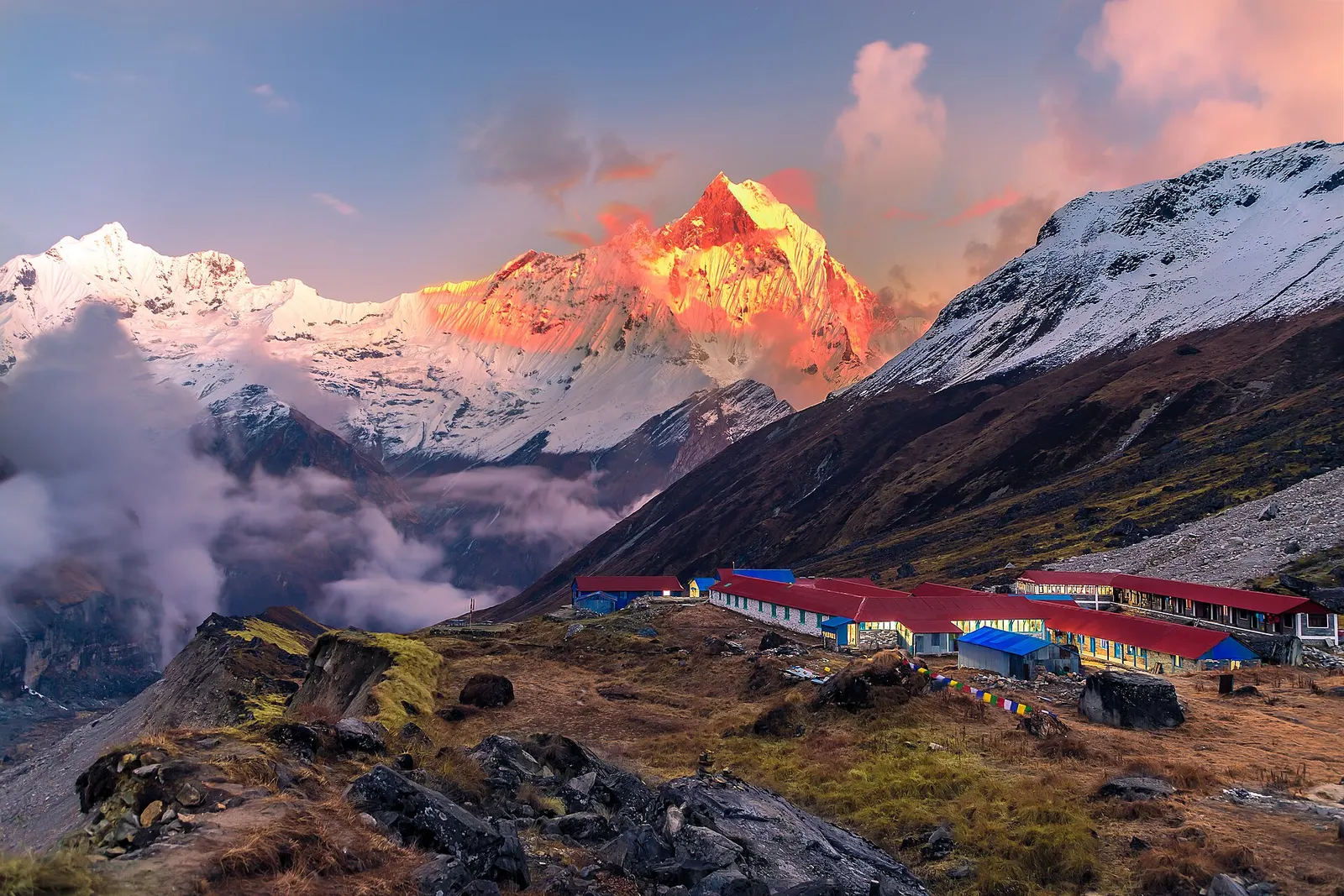
National park or conservation area
Nepal's largest protected area, from Gurung hill villages and rhododendron forest to the dry valleys behind the Annapurna range.
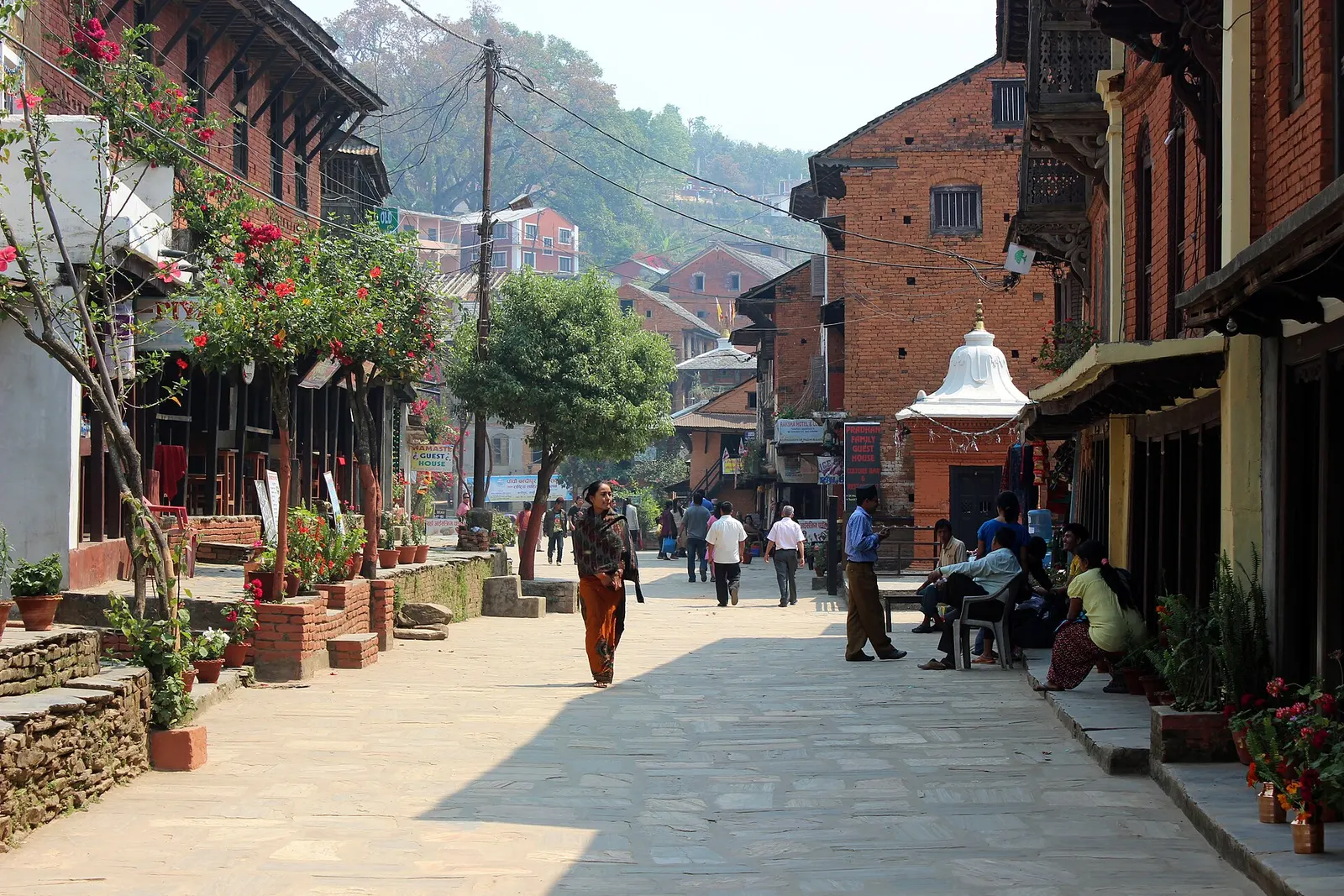
Town or village · 1,030 m
An old Newar trading bazaar on a ridge above the Kathmandu-Pokhara highway, with a car-free main street and views of the Himalaya.
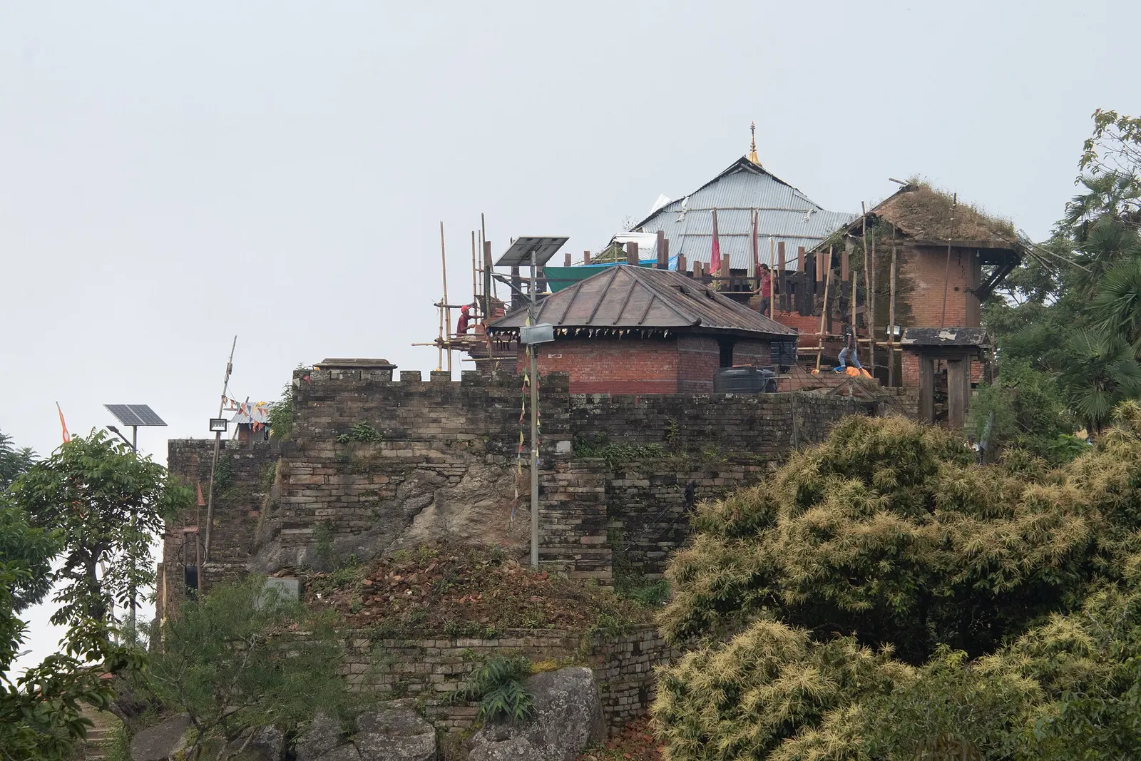
Temple, monastery or heritage site · 1,135 m
The hill town where the Shah kings ruled the Gorkha Kingdom and Prithvi Narayan Shah began the unification of Nepal.