
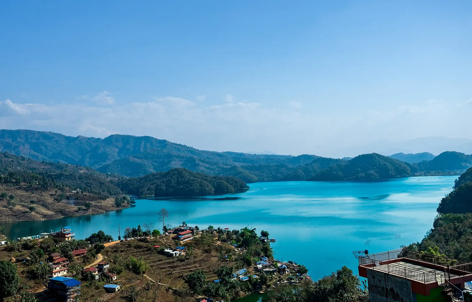
Lake · 650 m
Begnas Lake
A quieter freshwater lake in the east of the Pokhara valley, ringed by forested ridges, rice terraces and fish farms.
Pokharaसेती खोच
A narrow canyon where the milky-white Seti Gandaki runs deep below the streets of Pokhara, best seen from the city's bridges.
The gorge of the Seti Gandaki through Pokhara, not the Seti River of the Karnali system in far-west Nepal.
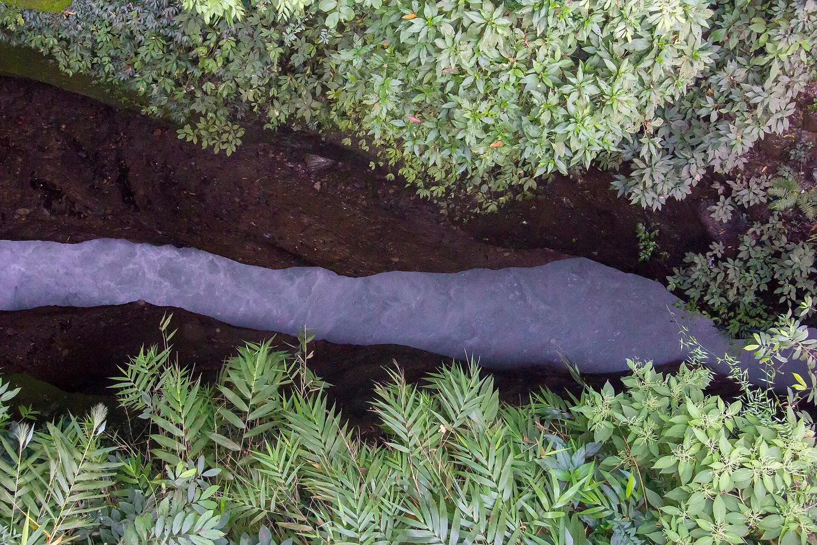
The Seti Gandaki, the White River, flows right through Pokhara, but most visitors only notice it when they look over a bridge and see a thread of milky water far below. Over thousands of years the river has cut a slot through the soft gravel and conglomerate of the valley floor. In places the gorge is only a few metres wide yet tens of metres deep, with ferns and trees hanging over its walls, so the river is often heard before it is seen.
The easiest viewpoints are the city's road bridges. The K.I. Singh bridge in the north, near Bagar and the Gurkha Memorial Museum, gives a dizzy view straight down into the narrowest part. Mahendrapul, the bridge that gives the old commercial centre its name, crosses further south, and the Prithvi Highway bridge near Ramghat marks the southern part of the city where the gorge widens and the river can be reached at ghats used for cremation and bathing. A path near the K.I. Singh bridge leads to small viewpoints along the rim.
Within Pokhara, the gorge is a short stop rather than a half-day trip. It fits well with the International Mountain Museum, the Gurkha Memorial Museum, the Bindhyabasini temple and the old bazaar on the east side of the city, a contrast to the lakeside sights in the west.
The Seti rises at the foot of the Annapurna massif, below Machhapuchhre and Annapurna IV, and flows south and east past Pokhara and Damauli to join the Trishuli. Its milky colour comes from fine sediment and dissolved limestone carried down from the mountains. The whole Pokhara Valley is built on deposits the river and its prehistoric floods brought down; researchers have linked these to huge events in the Sabche Cirque, including a landslide dated to around 1190 AD, and the lakes of Pokhara formed where such debris blocked side valleys.
The river is sacred to Hindus, who regard it as a form of Vishnu, and the ghats at Ramghat are used for funerals and festivals. Its power is also a hazard. In May 2012 a sudden flood from the upper Seti swept through Kharapani, north of the city, killing dozens of people, and landslides have partly blocked the river in recent monsoons. Local authorities monitor the river, and riverbank areas can be closed after heavy rain.
Stop at the K.I. Singh bridge
Look over the railings into the deepest, narrowest section, then visit the Gurkha Memorial Museum nearby.
Walk the old east side
Combine Mahendrapul, the Bindhyabasini temple and the old bazaar with views of the river from the bridges.
Visit Ramghat
See where the gorge widens near the Prithvi Highway bridge and the riverside ghats; be respectful of funerals.
Forecast for 923 m. Conditions change fast in the mountains.
Weather data: MET Norway, licensed CC BY 4.0. A forecast, not a guarantee.
Oct-Apr
Most visitors stay in Lakeside; there are also hotels around Mahendrapul and the older east side of the city.
No partner stays are listed here yet. List a property.
The gorge runs north to south through the eastern part of Pokhara. The K.I. Singh bridge is in Bagar, about 2 km north of Mahendrapul and about 5-7 km from Lakeside.
Nearest hub: Pokhara
None needed
No permit or ticket is needed to view the gorge from the bridges or rim paths.
Verify before travel: permit rules and fees change. Checked 2026-10-06 against Pokhara (Wikipedia).
The clearest views are from the K.I. Singh bridge in Bagar, north Pokhara, with other views from Mahendrapul and the Prithvi Highway bridge near Ramghat.
Its water carries fine sediment and dissolved limestone from the Annapurna massif, which gives it a milky colour.
Only in the dry season and with care. The river can surge suddenly, and in the monsoon you should stay on the bridges and follow local warnings.
Lake · 650 m
A quieter freshwater lake in the east of the Pokhara valley, ringed by forested ridges, rice terraces and fish farms.
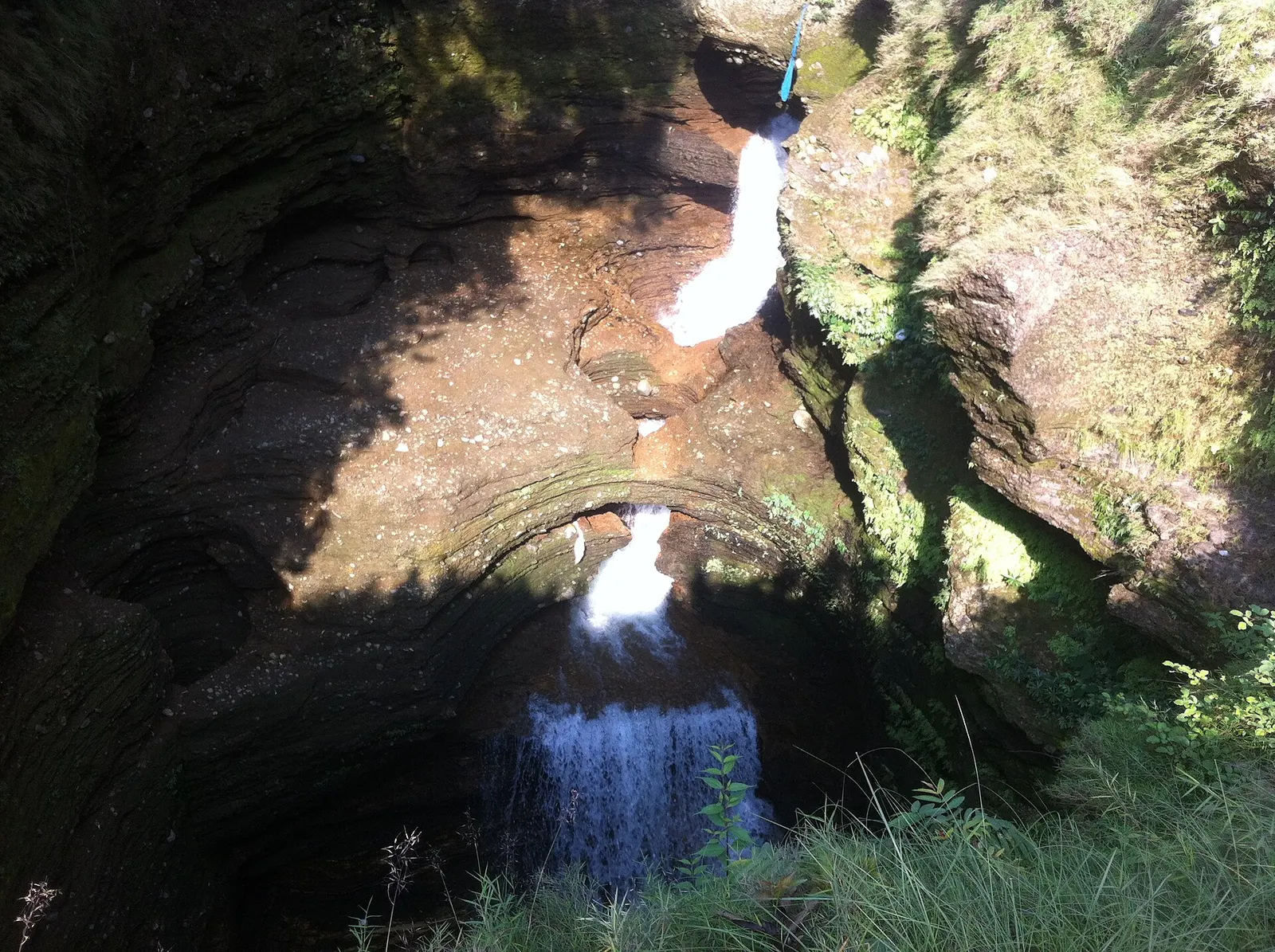
Viewpoint · 780 m
A waterfall in south Pokhara where the outflow of Phewa Tal drops into a narrow chasm and disappears underground.
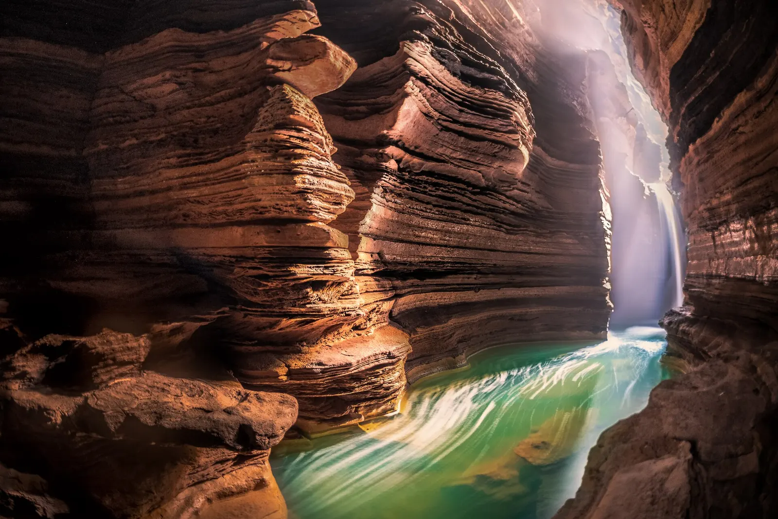
Temple, monastery or heritage site · 778 m
A Shiva cave shrine in south Pokhara, with a lower passage that ends behind the falling water of Davis Falls.
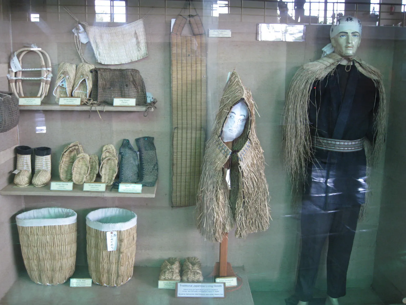
Temple, monastery or heritage site · 797 m
A museum in south Pokhara on the Himalaya's peaks, the people who climb them and the communities who live among them.
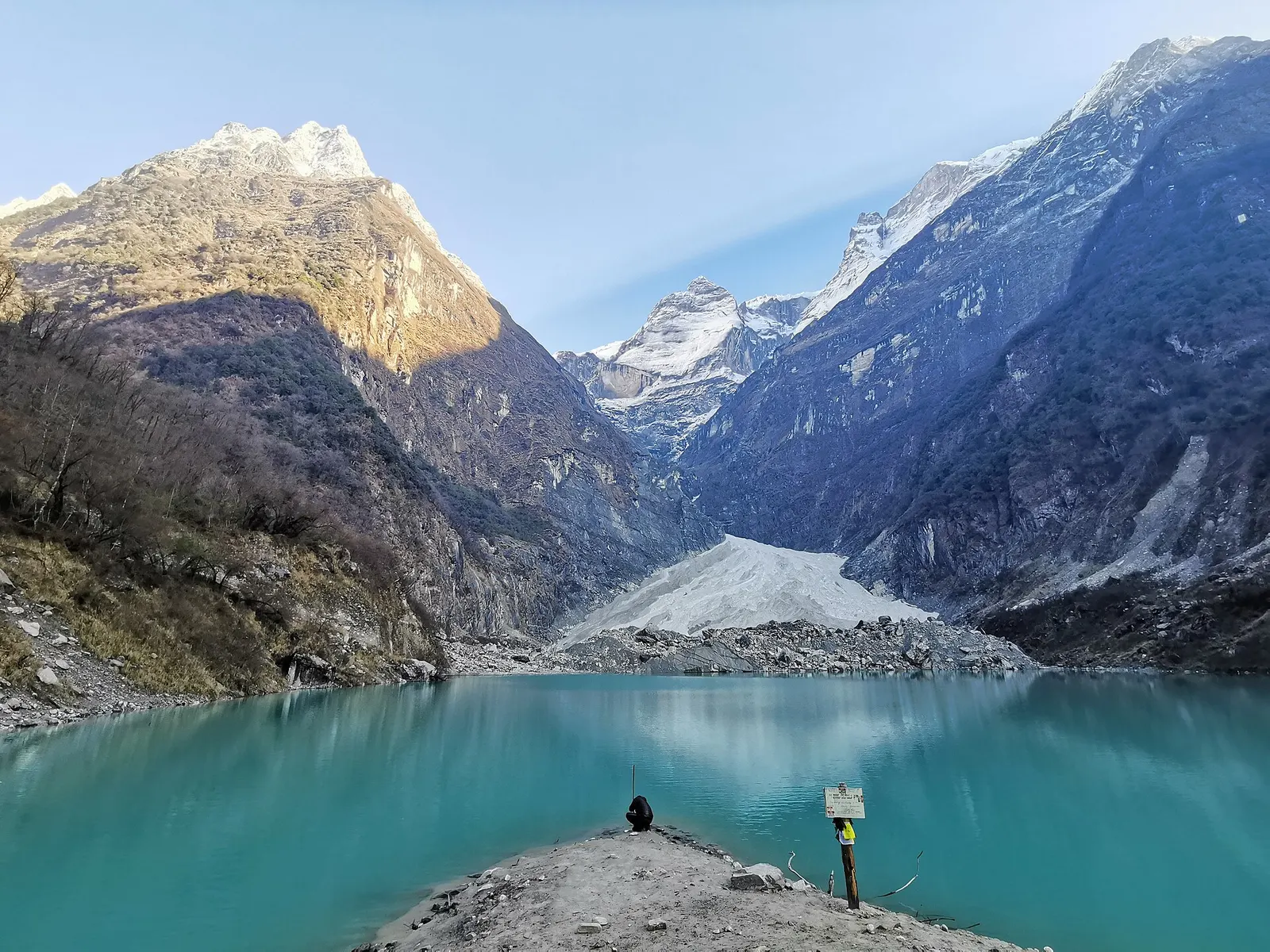
Lake · 2,546 m
A glacier lake at about 2,546 m beneath Annapurna II and Lamjung Himal, reached by a short trek from the Gurung village of Sikles.
Viewpoint · 2,517 m
A forested hill at about 2,500 m west of Phewa Tal, with a temple and pond on top and views of the Annapurna and Dhaulagiri ranges.
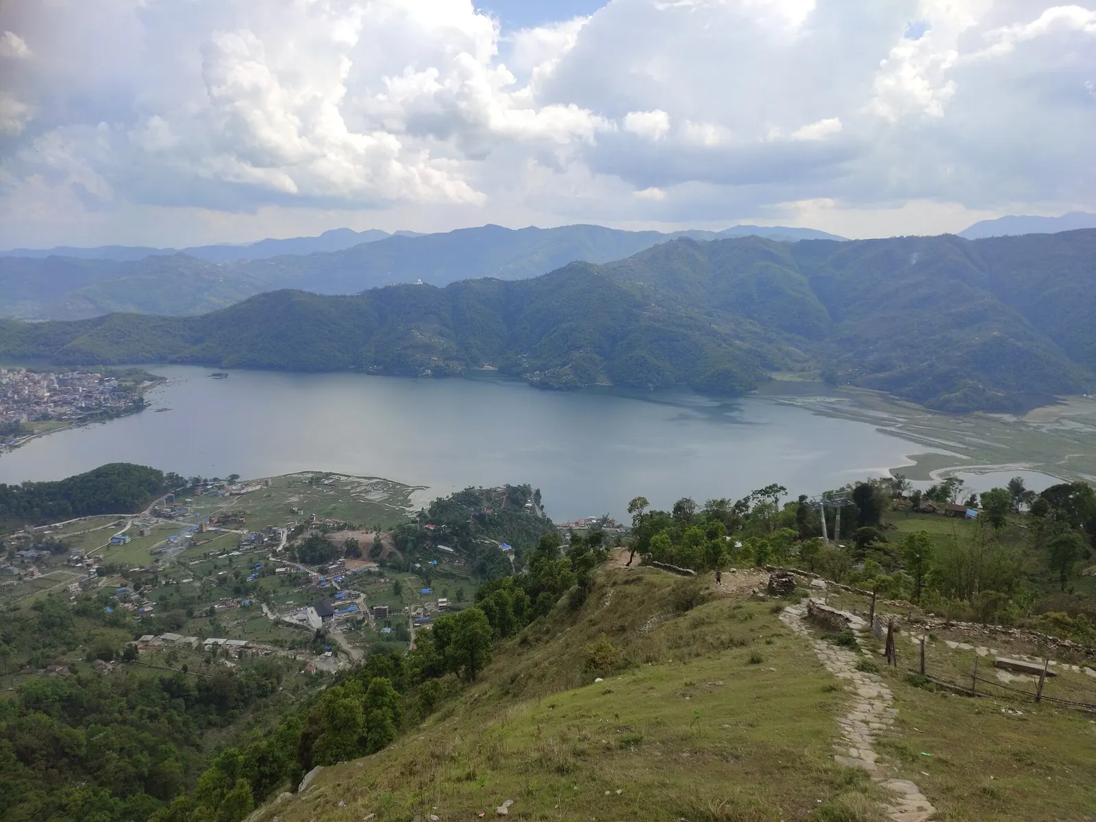
Lake · 742 m
Pokhara's main lake, with rowing boats, an island temple and Machhapuchhre reflected on still mornings.
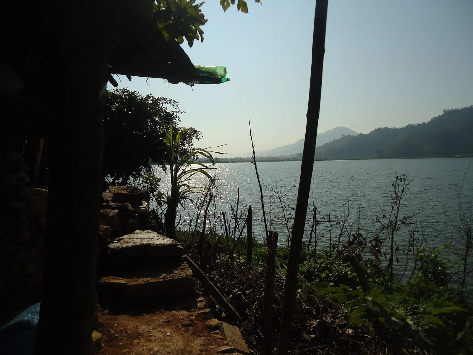
Lake · 600 m
A small, shallow lake beside Begnas in the east of the Pokhara valley, managed by a local fisheries cooperative and rich in waterbirds.
National park or conservation area
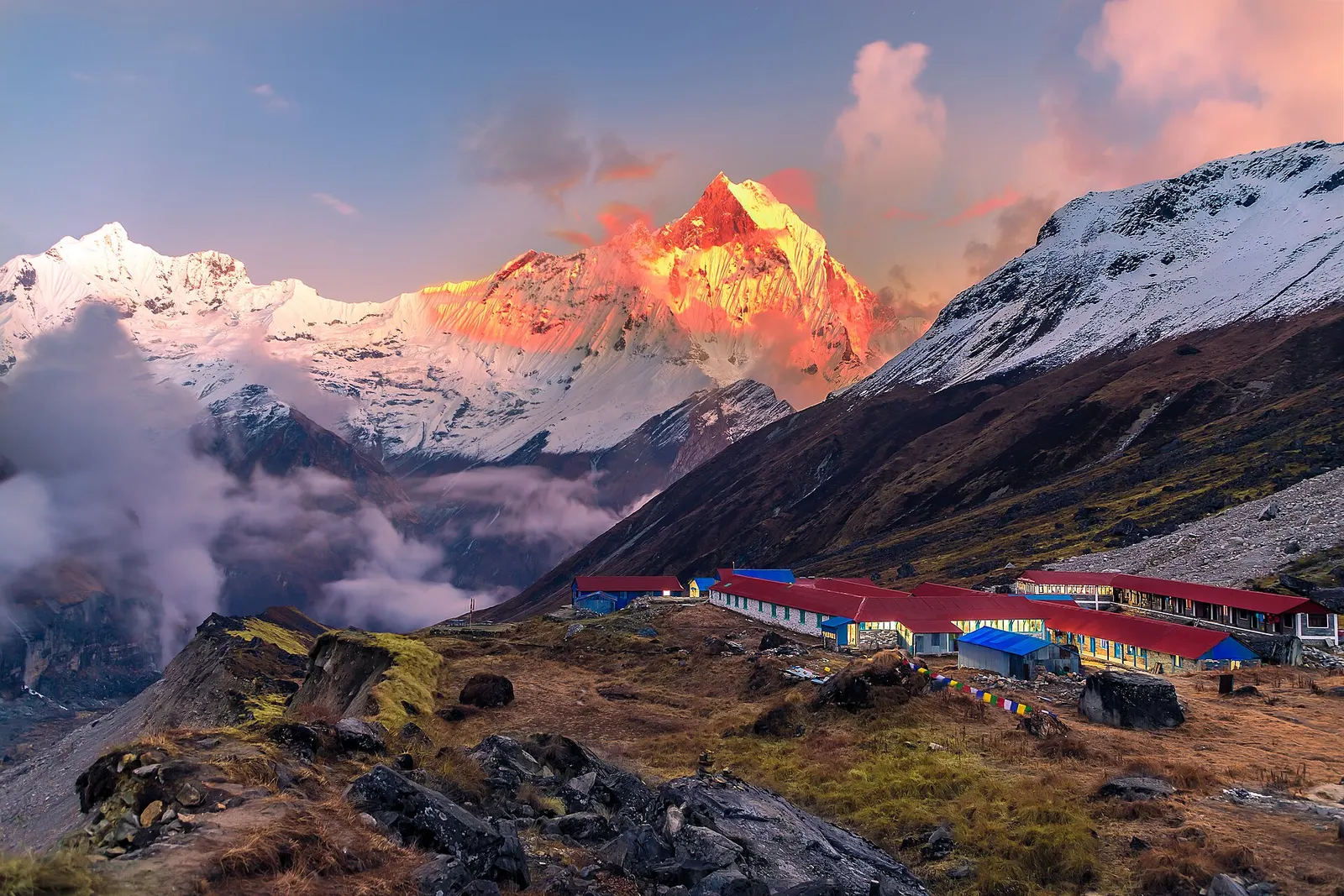
Nepal's largest protected area, from Gurung hill villages and rhododendron forest to the dry valleys behind the Annapurna range.