Skip to content

Pokhara & Annapurna, Annapurna Region

Ghorepani Poon Hill Trek

A short teahouse loop from Pokhara through Magar and Gurung villages and rhododendron forest to Ghorepani and the Poon Hill viewpoint (3,210 m), returning via Tadapani and Ghandruk.

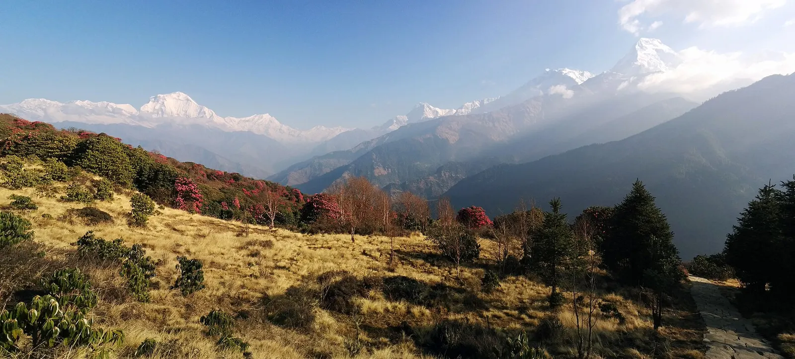
Wide morning panorama from Poon Hill across rhododendron-dotted grassland to the Dhaulagiri and Annapurna ranges
Photo: Ermakae (CC0)
Days
3-5
Max altitude
3,210 m
Distance
about 30 km
Difficulty
Easy
Best months
Feb-Apr, Oct-Dec
Start / end
Hile or Tikhedhunga (by jeep from Pokhara via Nayapul) / Ghandruk (by jeep to Pokhara)
Sleep in
Teahouses, Lodges
Permits
2 required

Overview

The Ghorepani Poon Hill trek is a short loop in the hills north-west of Pokhara. It climbs the long staircase to Ulleri and through rhododendron and oak forest to Ghorepani, a ridge village at about 2,870 m. From there a pre-dawn walk of about 45 minutes reaches Poon Hill (3,210 m) for sunrise over Dhaulagiri, the Annapurnas and Machhapuchhre.

The return goes east over the Deurali pass and through forest to Tadapani, then down to the Gurung village of Ghandruk. Jeep roads now reach Ulleri and Ghandruk, so the loop fits into four days from Pokhara, or three at a push.

The route stays below about 3,300 m and has lodges all the way, which makes it a common first Himalayan trek for families and newcomers.

Sunrise over Dhaulagiri and Annapurna South from Poon HillRhododendron forest in flower in March and AprilGhorepani's ridge-top settingThe stone staircase to the Magar village of UlleriThe Gurung village of Ghandruk

Why it is rated easy

  • Daily walks of 4-7 hours on good trails
  • A long stone staircase of several thousand steps up to Ulleri
  • Highest point 3,210 m, reached on a short pre-dawn climb

Elevation profile

About altitude

Sleeping altitude for each night. The dashed lines at 3,000 m and 4,000 m mark heights where altitude illness becomes more common. General information only, not medical advice.

Hover, tap or use the arrow keys to see each day. Shaded columns are acclimatisation days.

Show the profile as a table
Sleeping altitude by day
DayOvernightSleeping altitudeHigh point
1Ulleri2,010 m-
2Ghorepani2,874 m-
3Tadapani2,630 m3,210 m
4Pokhara822 m-

Day-by-day itinerary

  1. Day 1Drive to Hile, climb to Ullerisleep 2,010 m2-3 habout 4 km

    Drive about 2-3 hours via Nayapul to Hile or Tikhedhunga, then climb the stone staircase to the Magar village of Ulleri. Jeeps can reach Ulleri itself, but the staircase is part of the trek for many people.

    Teahouse in UlleriAbout Ulleri

  2. Day 2Ulleri to Ghorepanisleep 2,874 m4-5 habout 7 km

    Through Banthanti and Nangethanti into rhododendron and oak forest, climbing steadily to Ghorepani on its ridge.

    Teahouse in GhorepaniAbout Ghorepani

  3. Day 3Poon Hill at dawn, on to Tadapanisleep 2,630 m6-7 habout 11 km

    Climb about 45 minutes to Poon Hill before sunrise, return for breakfast, then follow the forest ridge east over the Deurali pass (about 3,100 m) and down to Tadapani.

    Teahouse in TadapaniAbout Tadapanihigh point Poon Hill, 3,210 m

  4. Day 4Tadapani to Ghandruk, drive to Pokharasleep 822 m2.5-3 habout 6 km

    Down through forest to the stone village of Ghandruk, then about 3-4 hours by jeep to Pokhara. On a 5-day plan, stay a night in Ghandruk and drive out the next morning.

    Hotel in Pokhara

Stages, times and altitudes vary by operator, weather and pace. Partner agencies confirm the exact plan.

Route map

Trail geometry from OpenStreetMap.

Mount Everest 8,848.86Kangchenjunga 8,586Dhaulagiri I 8,167Manaslu 8,163Annapurna I 8,091UlleriGhorepaniTadapaniPokhara
Boundary: Government of Nepal, Survey Department (2020). Peak data: Wikidata.

Permits

  • ACAP entry permit (Annapurna Conservation Area)Conservation area

    Issued by the National Trust for Nature Conservation, which runs the Annapurna Conservation Area Project, at its offices in Kathmandu and Pokhara or through its online e-permit system. Carry it with your passport; it is checked at trail posts. Checkpoints on this route include Birethanti and Ghorepani.

  • TIMS cardTrekker card

    Check whether a TIMS card is currently required; since 2023 it has been issued through registered trekking agencies.

Verify before travel: permit rules and fees change. Checked 2026-10-06 against National Trust for Nature Conservation (Annapurna Conservation Area Project, e-permit links). Guide rule: Nepal bans solo trekking for tourists, guides mandatory from April 1 (The National, March 2023).

Nepal trekking permits explained

When to go

Best months: Feb-Apr, Oct-Dec

Autumn (Sep-Nov)
September to November: October and November give the clearest sunrise views; lodges in Ghorepani are busy.
Winter (Dec-Feb)
December to February: often clear and cold, with frost and occasional snow at Ghorepani and Poon Hill.
Spring (Mar-May)
March to May: rhododendrons flower from about March to April, with more haze and afternoon cloud.
Monsoon (Jun-Aug)
June to August: rain, leeches and cloud; the jeep roads can be blocked by landslides.

Weather on the route

Forecasts for start (Ulleri, 2,010 m), highest overnight (Ghorepani, 2,874 m), end (Pokhara, 822 m). Mountain weather changes fast; check again on the day.

Weather in Ulleri (start)

Forecast for 2,010 m. Conditions change fast in the mountains.

Weather data: MET Norway, licensed CC BY 4.0. A forecast, not a guarantee.

Weather in Ghorepani (highest overnight)

Forecast for 2,874 m. Conditions change fast in the mountains.

Weather data: MET Norway, licensed CC BY 4.0. A forecast, not a guarantee.

Weather in Pokhara (end)

Forecast for 822 m. Conditions change fast in the mountains.

Weather data: MET Norway, licensed CC BY 4.0. A forecast, not a guarantee.

Safety

Poon Hill is 3,210 m; altitude illness is uncommon at this height but possible. If you have a headache with nausea or dizziness, rest and do not go higher. This is general information, not medical advice.
The pre-dawn climb to Poon Hill is in the dark and often icy in winter; bring a headlamp and warm layers.
Stone steps are slippery in rain and frost; take descents slowly and use poles.
Buy travel insurance that covers trekking and evacuation, and see a doctor before travel if you have health concerns.

What to pack

  • Headlamp for the pre-dawn walk to Poon Hill
  • Warm jacket and hat for sunrise
  • Trekking poles for the long stone staircases, especially on descents.
  • A sleeping bag liner; blankets are provided but nights at Ghorepani are cold in winter
  • Refillable bottle and purification
  • Rain jacket outside the dry season
  • Cash; there are no ATMs on the trail
Full trekking gear list

Side trips and alternatives

  • Muldai viewpoint

    From Ghorepani, add a night at Dobato and a sunrise at Muldai (about 3,637 m) before descending to Tadapani.

  • Annapurna Base Camp

    From Tadapani, continue to Chhomrong and up the Modi Khola to the Sanctuary.

  • Tatopani hot springs

    Descend west from Ghorepani to Tatopani in the Kali Gandaki valley instead of returning via Ghandruk.

Poon Hill questions

How many days is the Poon Hill trek?

Four days from Pokhara is common. Five gives an easier pace with a night in Ghandruk, and with jeeps to Ulleri and from Ghandruk it can be done in three.

Is Poon Hill suitable for beginners and children?

Yes, for anyone comfortable walking uphill for several hours. The staircase to Ulleri is the hardest part.

When do the rhododendrons flower on the Poon Hill trek?

Usually from about March to April, depending on altitude and the year.

Do I need a permit for Poon Hill?

Yes. The route is in the Annapurna Conservation Area, so you need an ACAP entry permit; check whether a TIMS card is currently required.

Do I need a guide for Poon Hill?

A Nepal Tourism Board rule from 1 April 2023 requires foreign trekkers in conservation areas to go with a licensed guide; enforcement has varied, so check the current rule.

Similar treks

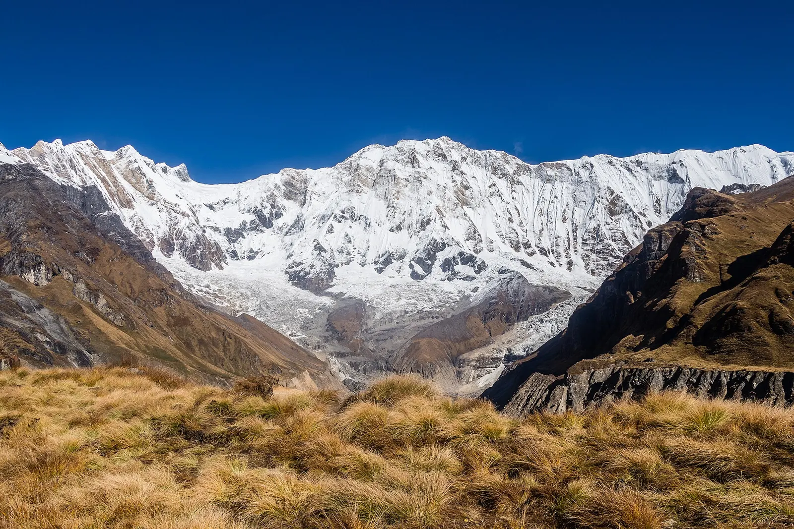
The broad snow-covered south face of Annapurna I rising above golden grass at Annapurna Base Camp

A teahouse trek from the road heads north of Pokhara through Gurung villages and the bamboo forest of the Modi Khola gorge into the Annapurna Sanctuary, to Annapurna Base Camp at about 4,130 m.

Days
8 days
Maximum altitude
4,130 m
Difficulty
Moderate
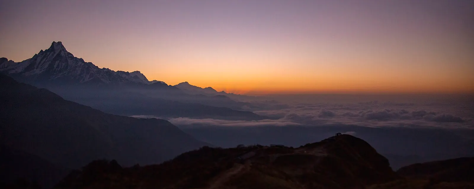
Dawn colours behind the silhouette of Machhapuchhre and a sea of cloud, seen from Muldai viewpoint.

A four-day loop from Pokhara via Ghandruk, Tadapani and Dobato to the Muldai viewpoint (about 3,637 m) for sunrise, returning over Ghorepani and Poon Hill.

Days
4 days
Maximum altitude
3,637 m
Difficulty
Moderate
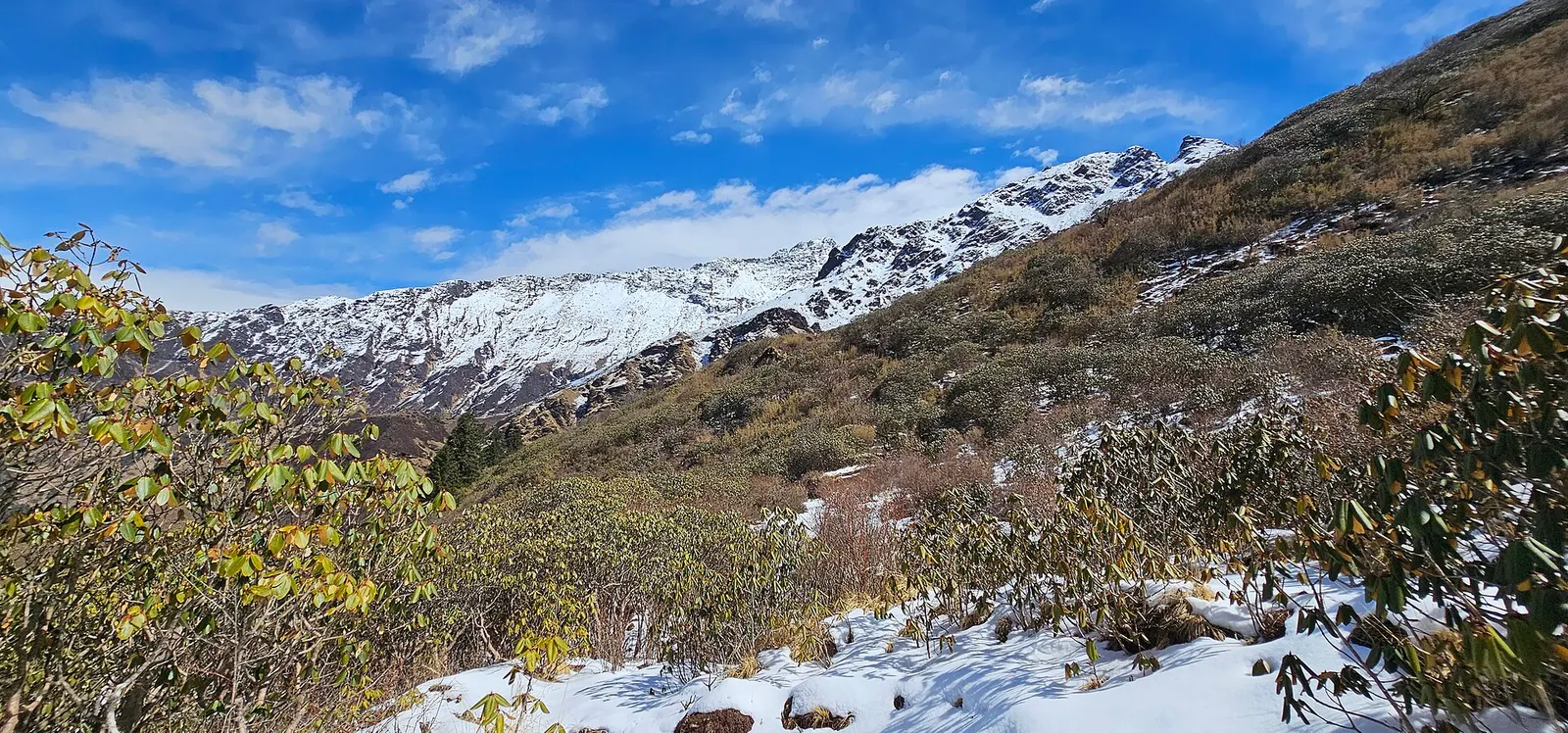
Rhododendron shrubs and patches of snow on a slope below snow peaks on the way to Khopra Danda.

A quieter loop west of the Annapurna Sanctuary from Ghandruk via Tadapani, Dobato and Khopra Ridge (about 3,660 m) to Swanta, Ghorepani and Poon Hill, with an optional hike to Khayer Lake.

Days
7 days
Maximum altitude
3,660 m
Difficulty
Moderate

Poon Hill · 4 days