Skip to content

Mustang & Trans-Himalaya

मुस्ताङ र हिमाल पारि

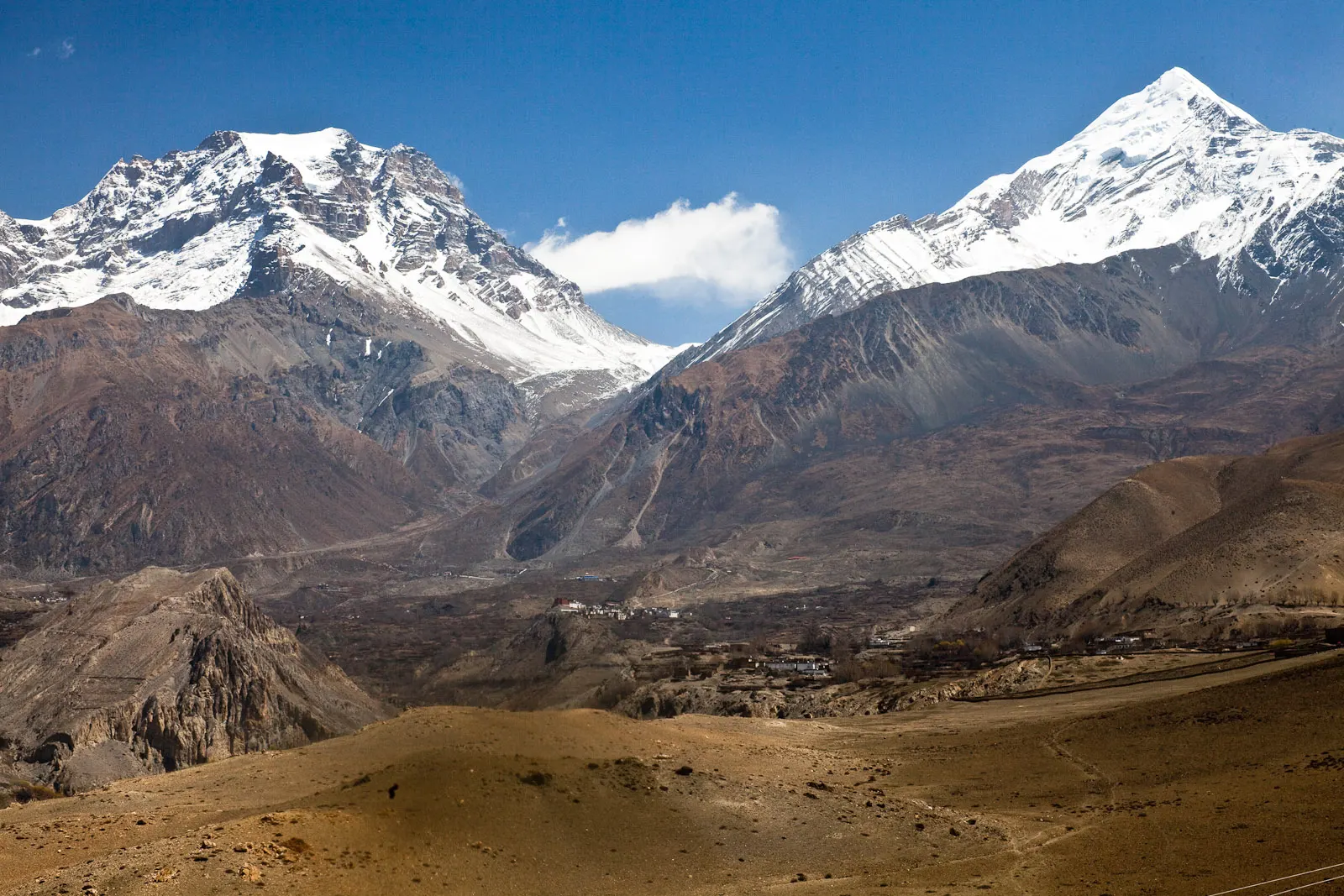
The dry country north of the Annapurna and Dhaulagiri ranges, from the apple village of Marpha and the temple of Muktinath to the restricted area of Upper Mustang and its walled capital, Lo Manthang.
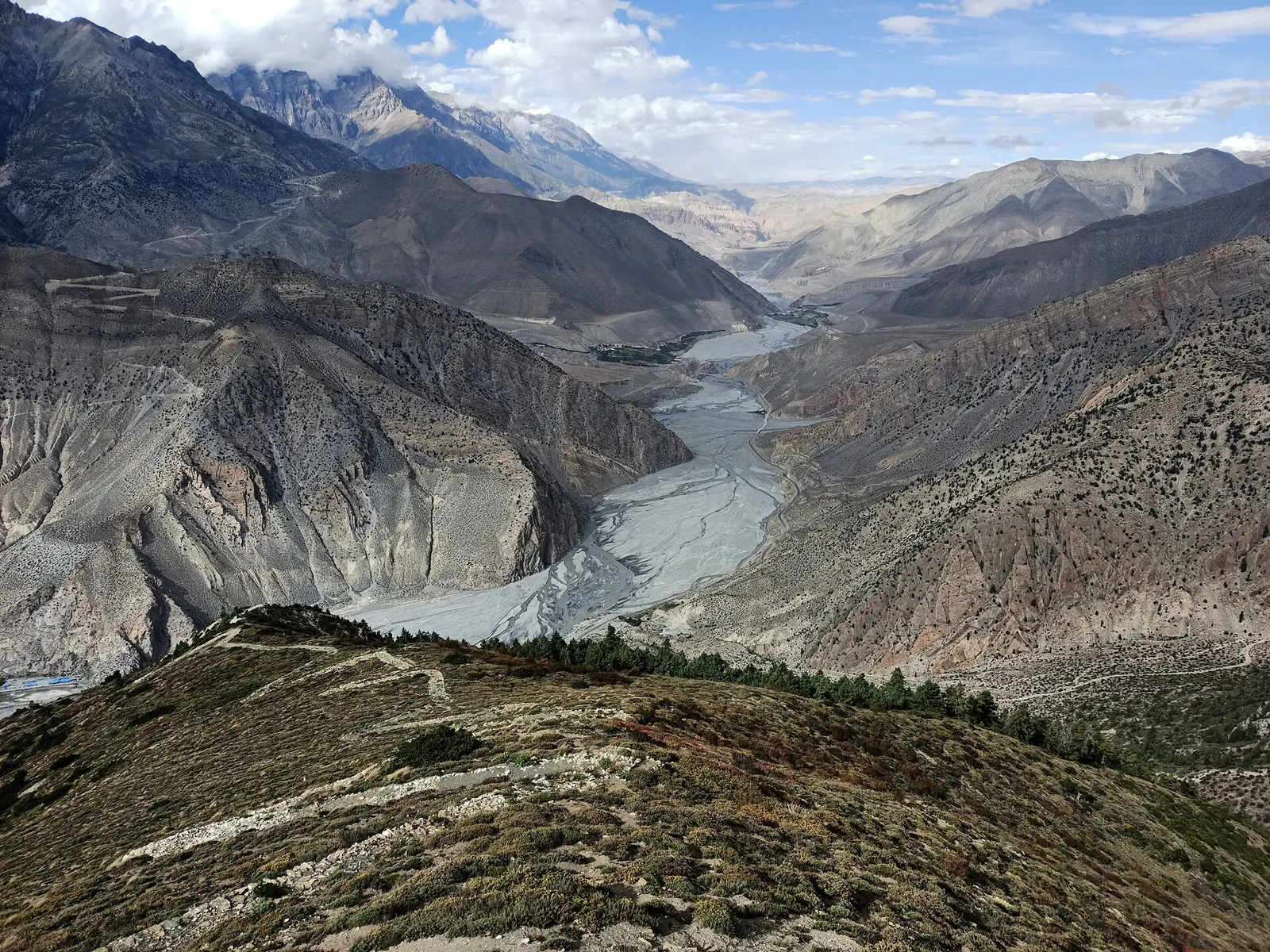
A wide, braided river valley winding between barren grey mountains in Mustang
Photo: Saddam19 (CC BY-SA 4.0)

Places in Mustang & Trans-Himalaya

Mount Everest 8,848.86Kangchenjunga 8,586Dhaulagiri I 8,167Manaslu 8,163Annapurna I 8,091Upper Mustang
Boundary: Government of Nepal, Survey Department (2020). Peak data: Wikidata.

Treks in Mustang & Trans-Himalaya

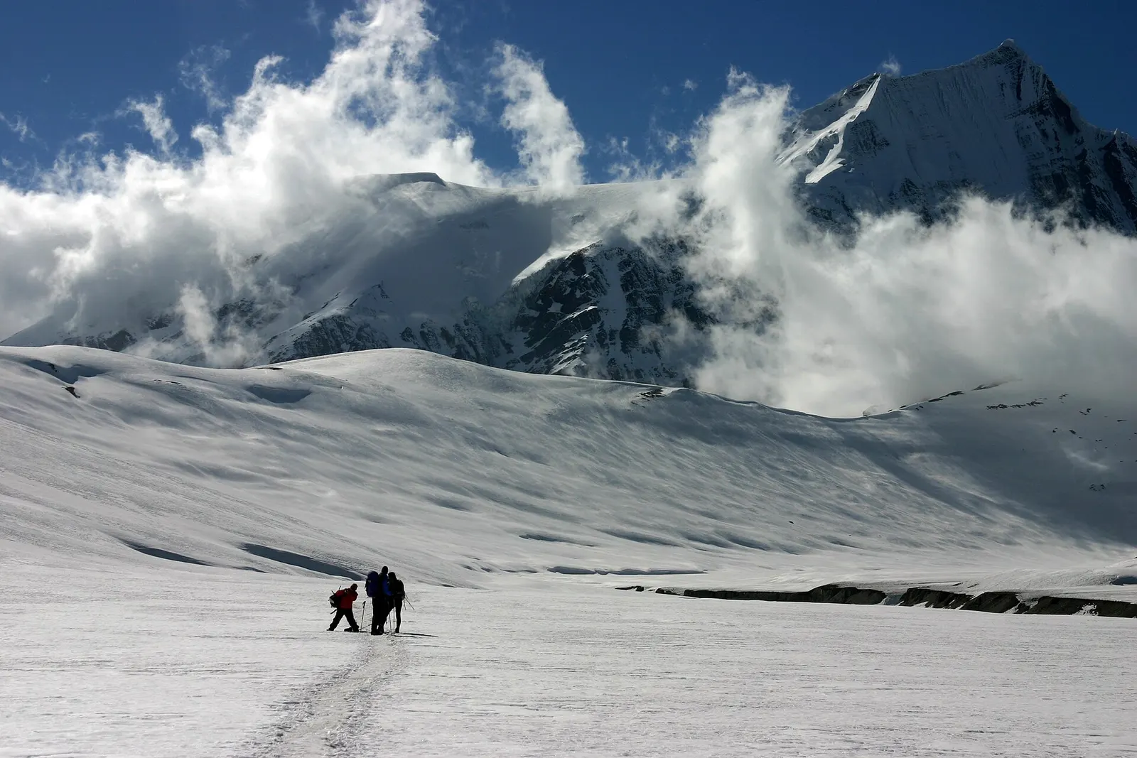
Two small figures crossing the snow-covered Hidden Valley beneath the peak of Sita Chuchura and drifting cloud.

A remote camping trek from the Myagdi valley to Dhaulagiri Base Camp, over French Pass (about 5,360 m) into Hidden Valley and over Dhampus Pass to Marpha in Mustang.
Days
14 days
Maximum altitude
5,360 m
Difficulty
Challenging
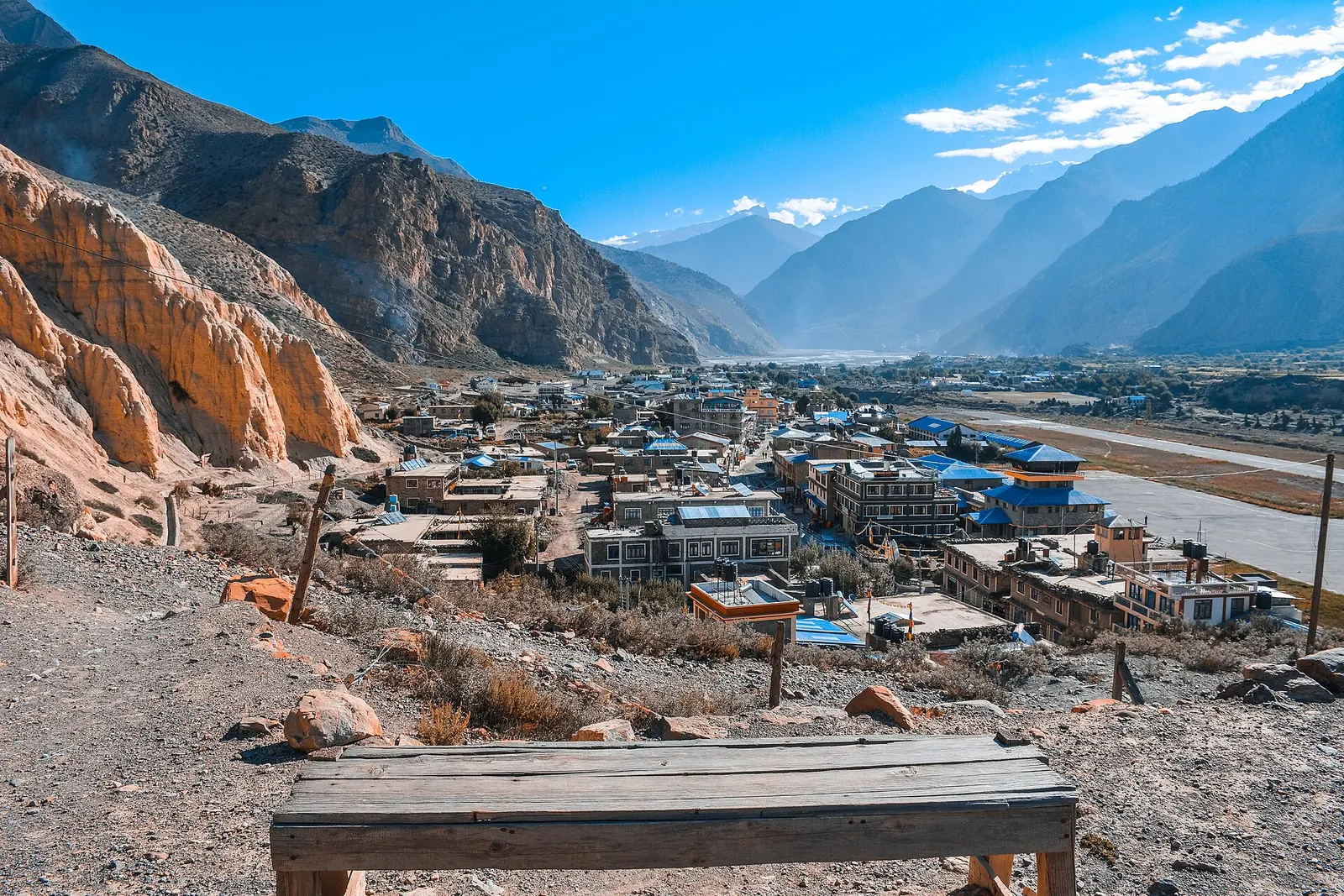
Dry Jhong Khola valley in Mustang climbing towards the villages of Jharkot and Muktinath, with the Thorong La area on the skyline.

A short trek in Lower Mustang from Jomsom via Kagbeni to the Muktinath temple (about 3,760 m) and back through Marpha, with flights from and to Pokhara.
Days
5 days
Maximum altitude
3,762 m
Difficulty
Moderate
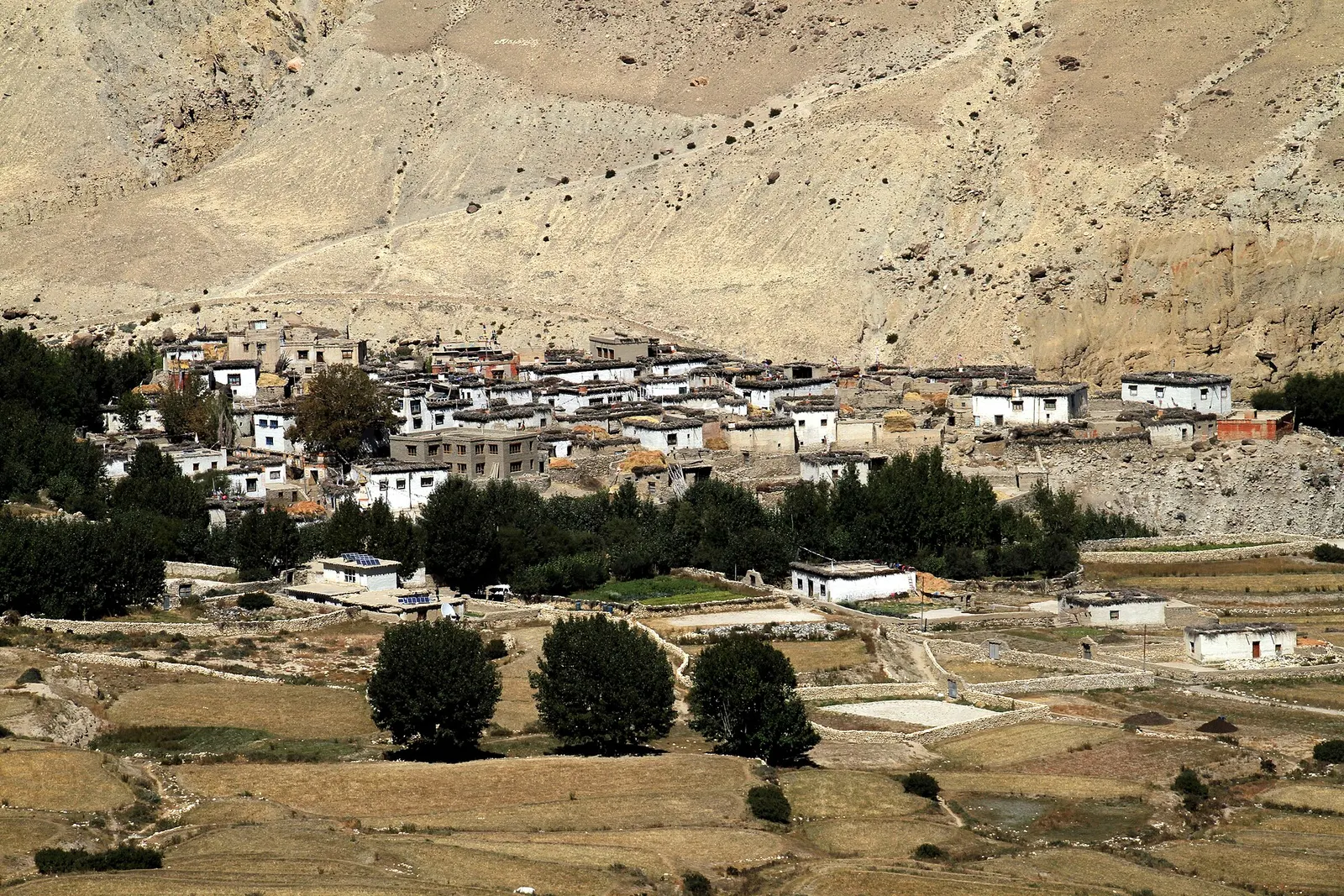
Whitewashed flat-roofed houses of Ghami village in Upper Mustang, with trees and fields below an eroded tan cliff.

A restricted-area trek north from Kagbeni through the eroded canyons of the former Kingdom of Lo to the walled town of Lo Manthang, returning via Lo Gekar and Dhakmar.

Days
12 days
Maximum altitude
4,325 m
Difficulty
Moderate