
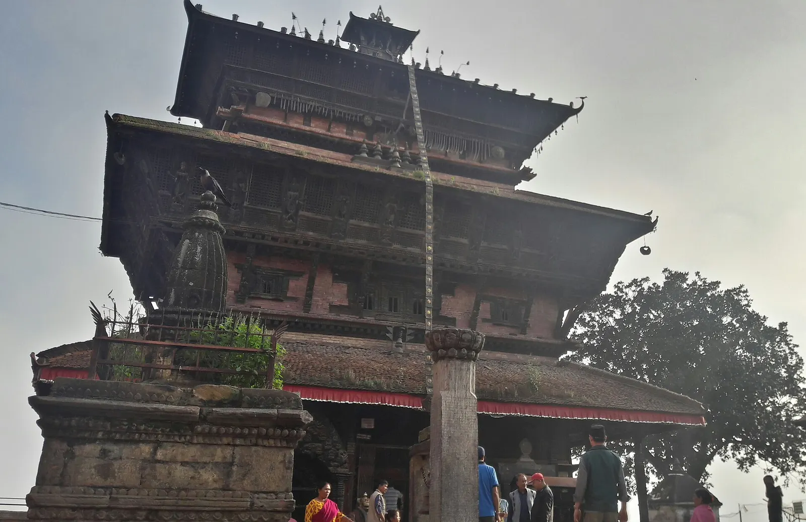
Town or village · 1,400 m
Kirtipur
An old Newar hill town on Kathmandu's south-western edge, with temples, valley views and a dramatic history of resistance.
Kathmandu Valleyकाठमाडौँ
Nepal's capital valley, where temples, courtyards and daily worship share the same streets.
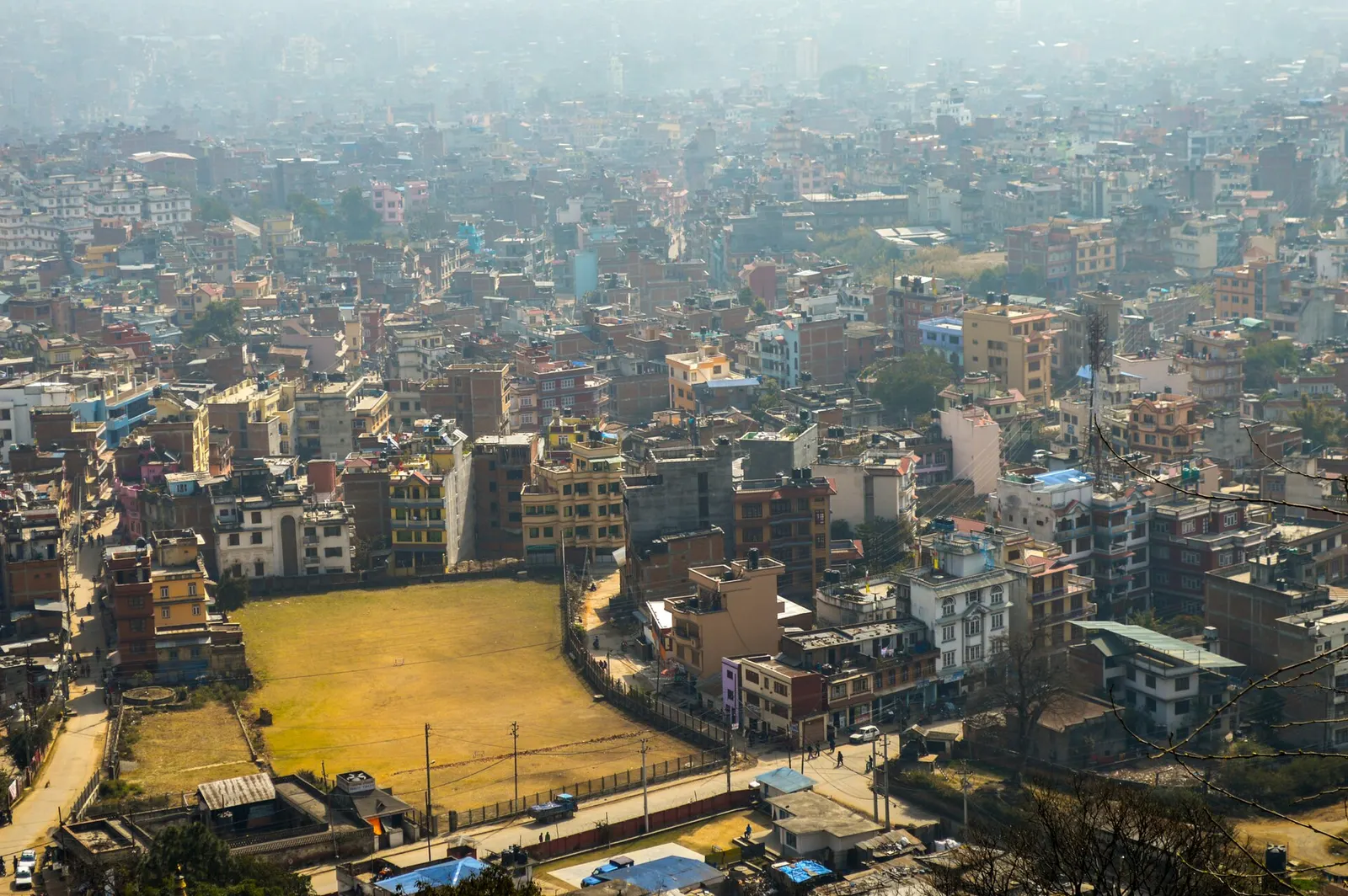
Kathmandu is the capital and largest city of Nepal, home to about 845,000 people within the metropolitan city and roughly four million in the wider valley. Almost every international visitor arrives here, at Tribhuvan International Airport, and most spend a few days in the city before heading to the mountains, the lakes of Pokhara or the jungles of the south. The city is crowded, noisy and dusty in places, but its old centre and the great religious sites around it are among the richest concentrations of heritage anywhere in the Himalaya.
The city's main sights each have their own page. Kathmandu Durbar Square is the old royal square of temples and palaces at the heart of the medieval city. Swayambhunath, the hilltop stupa to the west, and Boudhanath, the great stupa to the north-east, are the two great Buddhist monuments; Pashupatinath on the Bagmati is Nepal's most important Hindu temple. Thamel is the traveller district of guesthouses and gear shops, with the restored Garden of Dreams and the small Kathesimbhu Stupa a short walk away. Kopan and Pullahari are Tibetan Buddhist monasteries on the hills north of Boudha.
Beyond the centre, the rest of the district makes good day trips. Kirtipur is an old Newar hill town on the city's south-western edge, and Pharping and Dakshinkali, to the south, are pilgrimage places for Buddhists and Hindus. Chandragiri hill, reached by cable car, gives mountain views from the south-west rim, while Shivapuri Nagarjun National Park covers the forested hills to the north. Kakani, just over the northern rim in Nuwakot district, is a quiet viewpoint on the road towards Langtang. Patan and Bhaktapur, the valley's other two royal cities, have their own pages.
The story
Pashupatinath is Nepal's most important Shiva temple, and its golden pinnacle (gajur) has been offered and regilded by rulers over the centuries. One legend says Shiva, tired of the company of the gods, hid in the Sleshmantak forest here in the form of a deer. When the gods caught him by the horn to bring him back, the horn broke, and the broken piece became the linga worshipped ever since. Pashupati means Lord of All Beings. Across the city, Swayambhunath is said to stand where a self-arisen light shone from a lotus on the lake that once filled the valley.
Town or village · 1,400 m
An old Newar hill town on Kathmandu's south-western edge, with temples, valley views and a dramatic history of resistance.
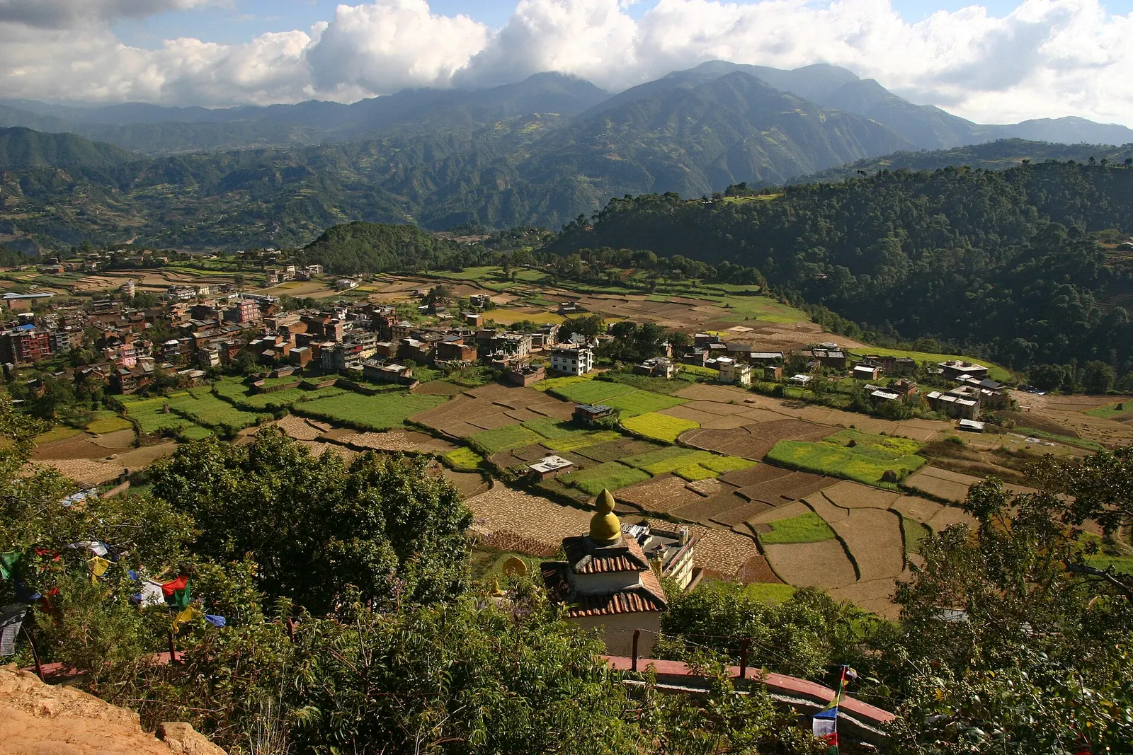
Town or village · 1,570 m
A small Newar town on the southern rim of the Kathmandu Valley, sacred to Vajrayana Buddhists for Guru Rinpoche's meditation caves.
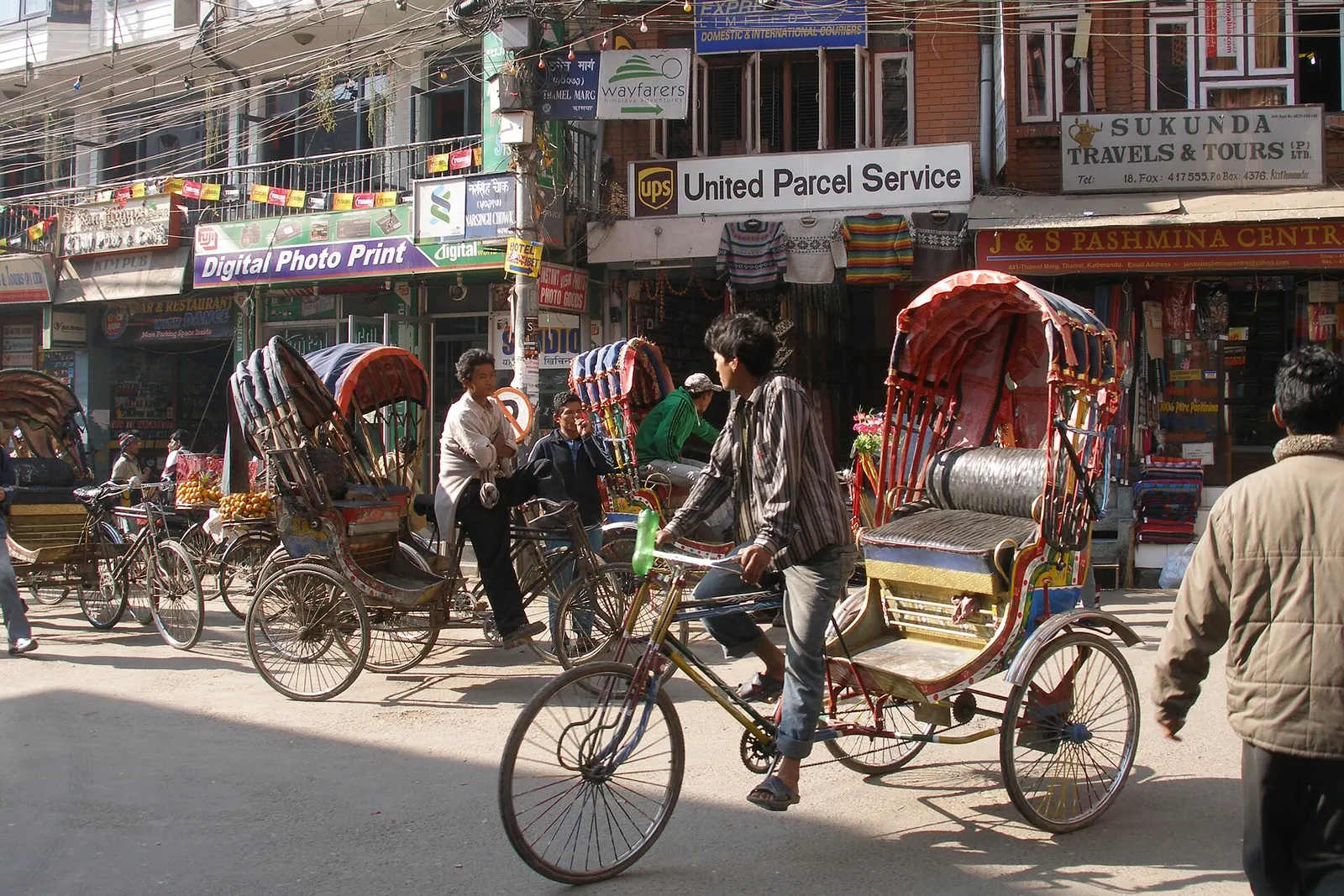
Town or village · 1,320 m
Kathmandu's traveller quarter of narrow lanes, guesthouses, trekking shops and cafes, a short walk north of the old city.
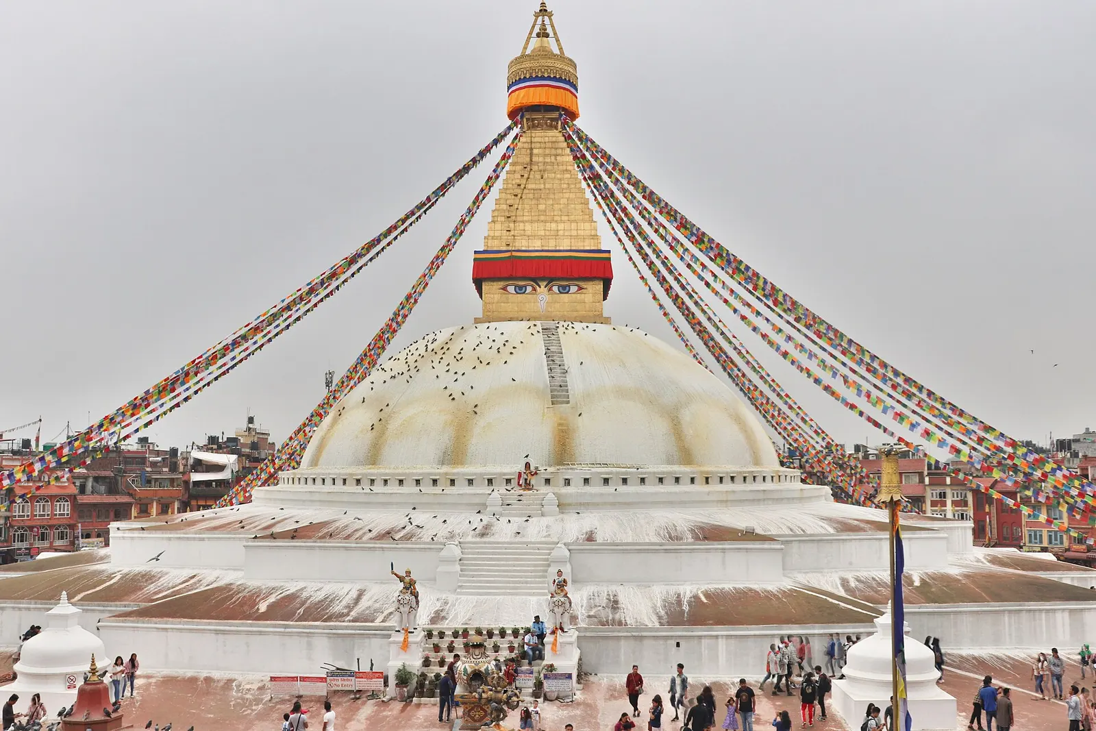
Temple, monastery or heritage site · 1,340 m
The great white stupa of north-east Kathmandu, centre of the valley's Tibetan Buddhist community and its many monasteries.
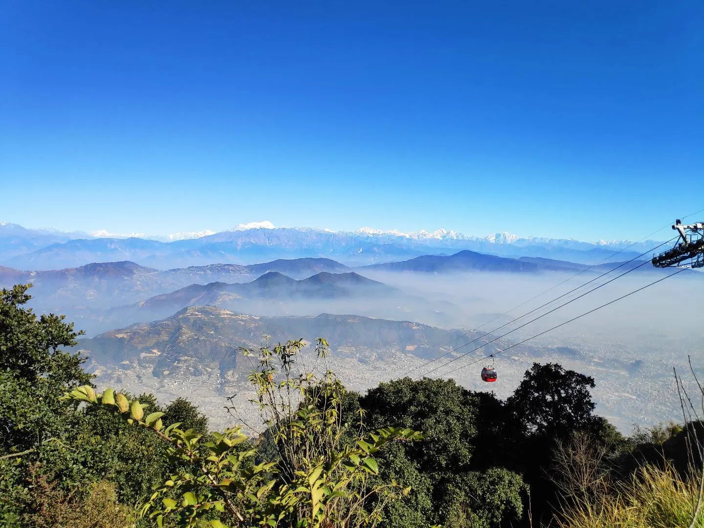
Viewpoint · 2,551 m
A hill on the Kathmandu Valley's south-western rim, reached by cable car, with a Shiva temple and wide Himalayan views.
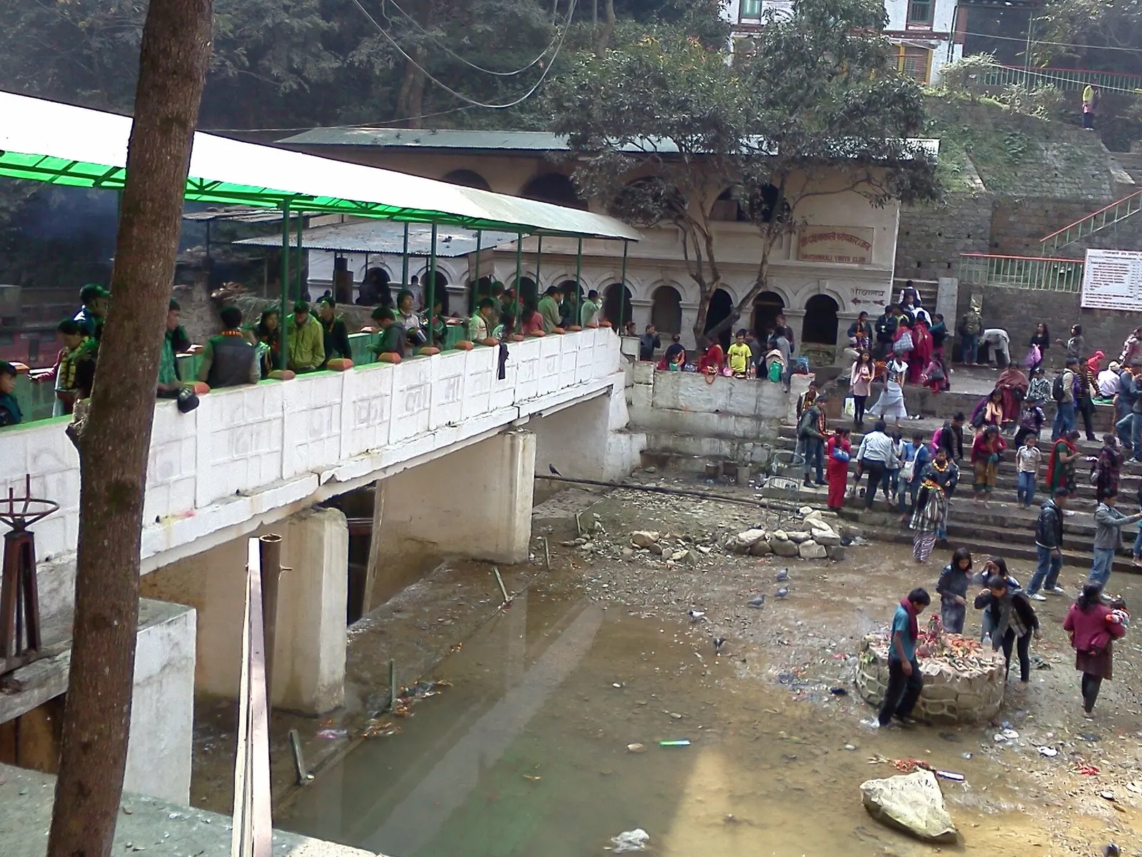
Temple, monastery or heritage site · 1,480 m
A Hindu temple to the goddess Kali in a forested gorge south of Pharping, known for its Tuesday and Saturday animal sacrifices.
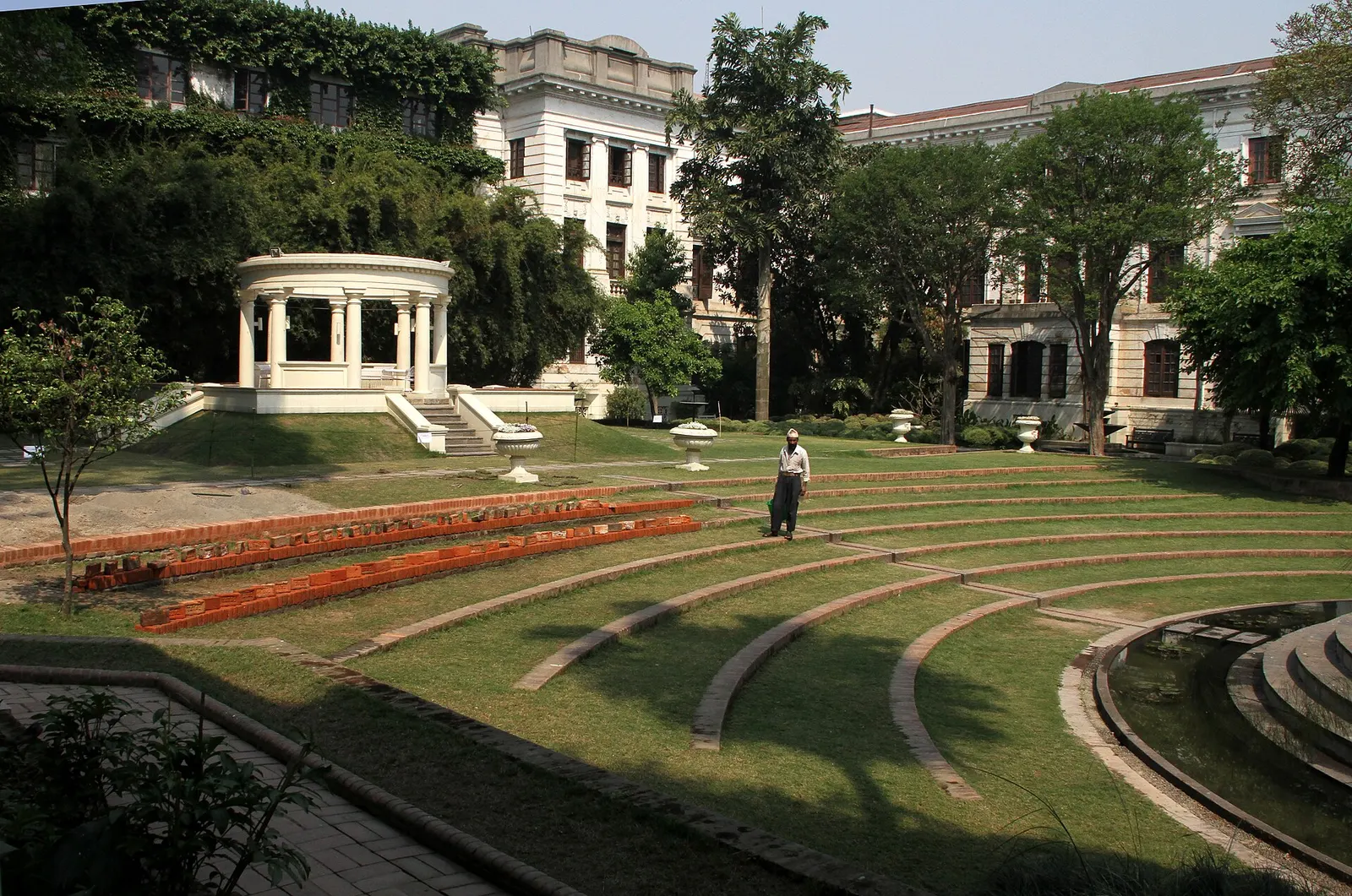
Temple, monastery or heritage site · 1,320 m
A restored 1920s Rana-era garden of pavilions, ponds and lawns at the edge of Thamel.
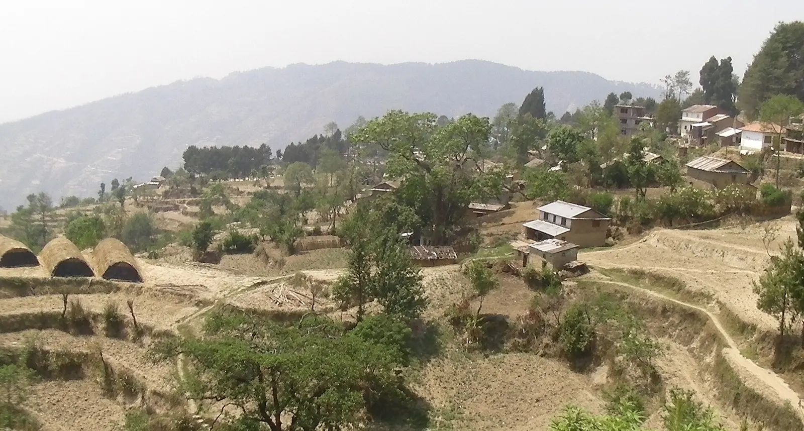
Viewpoint · 2,030 m
A quiet hill station just outside the Kathmandu Valley in Nuwakot, with Himalayan views, strawberry farms and memorial parks.
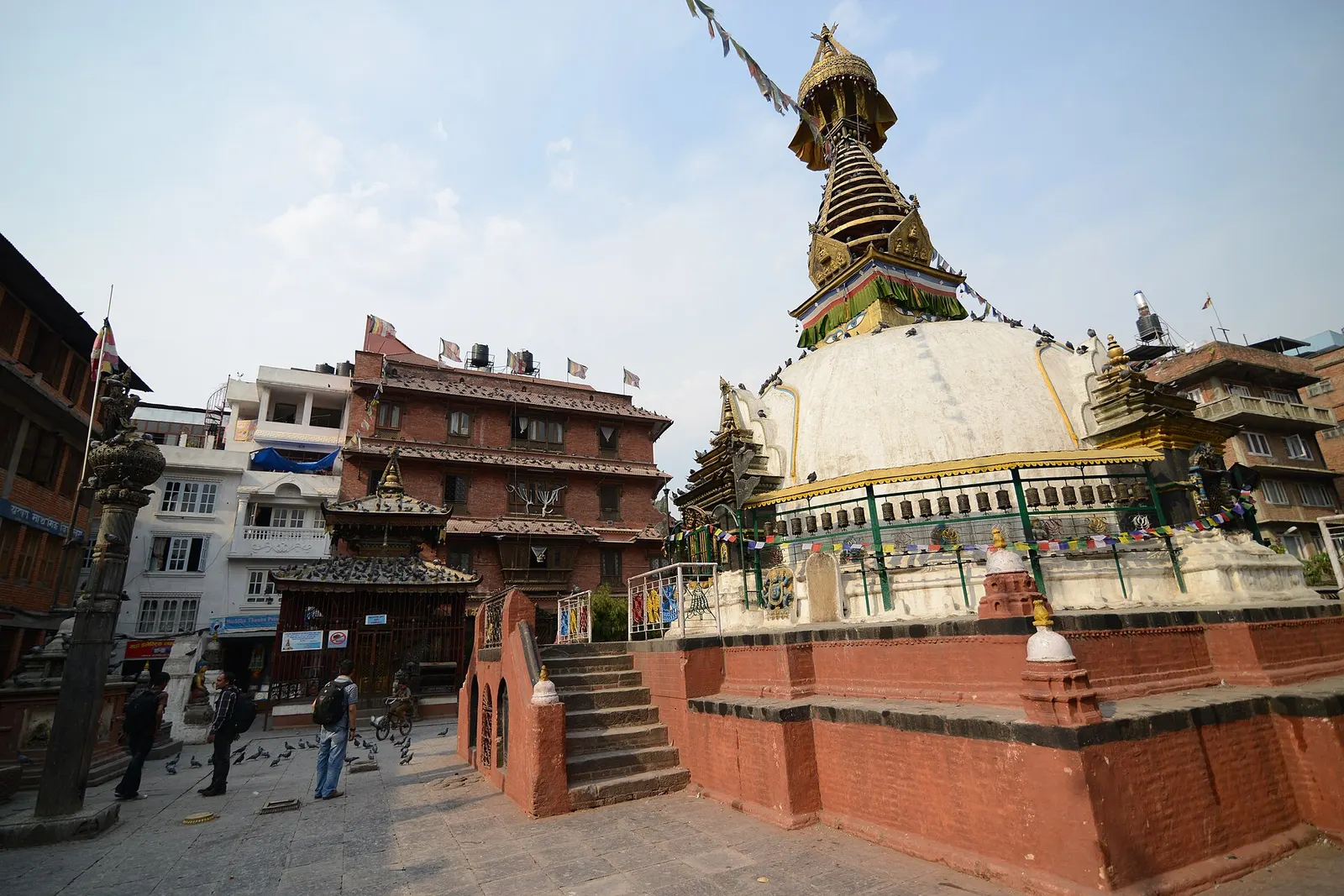
Temple, monastery or heritage site · 1,310 m
A centuries-old miniature of Swayambhunath in a quiet courtyard a few minutes' walk south of Thamel.
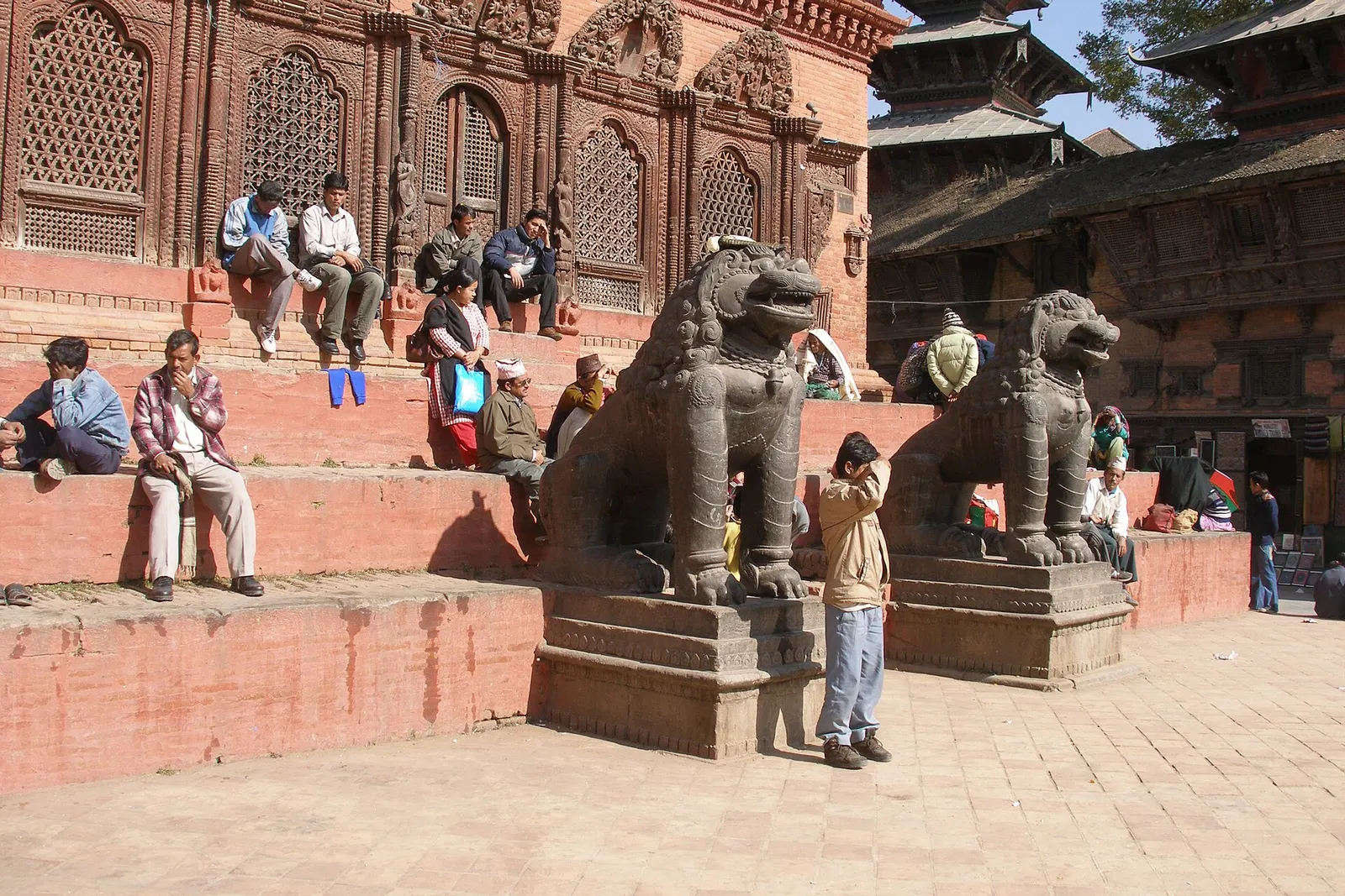
Temple, monastery or heritage site · 1,310 m
The old royal heart of Kathmandu, a cluster of Malla and Shah-era palaces and temples, and home of the Kumari, the living goddess.
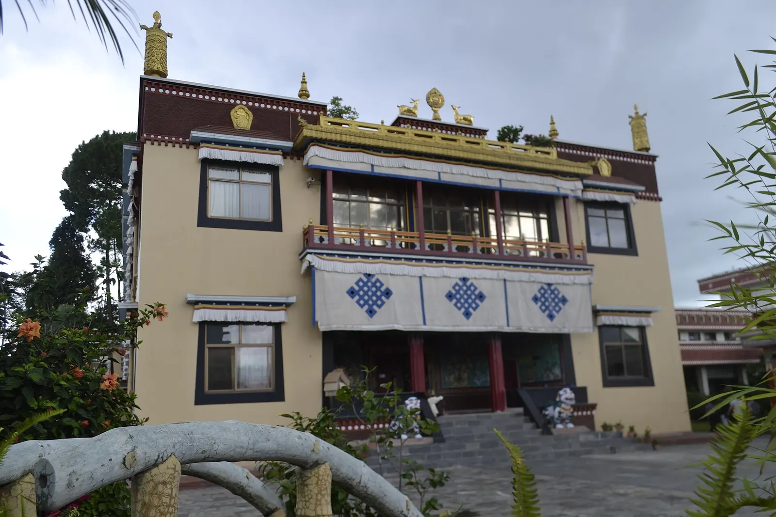
Temple, monastery or heritage site · 1,440 m
A hilltop Tibetan Buddhist monastery north of Boudha, known for its meditation courses for international students.
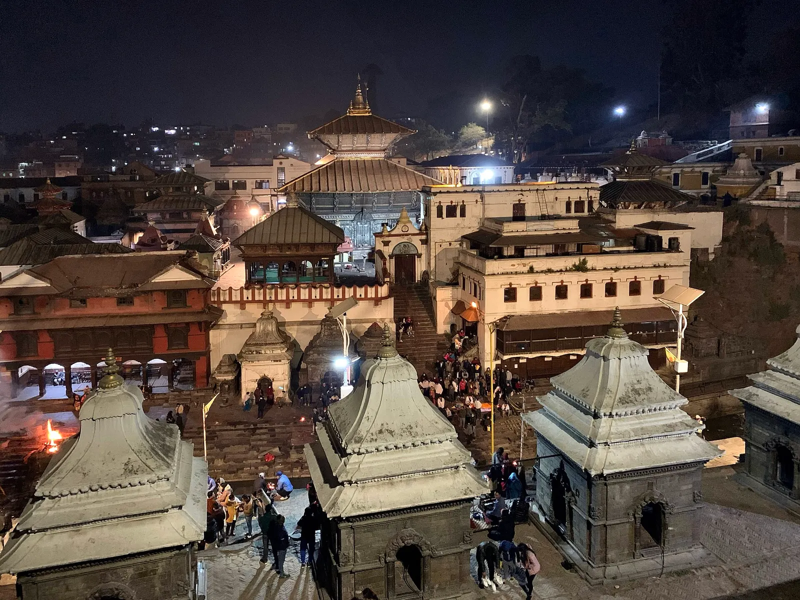
Temple, monastery or heritage site · 1,310 m
Nepal's most important Hindu temple, dedicated to Shiva as Pashupati, on the banks of the Bagmati river in eastern Kathmandu.
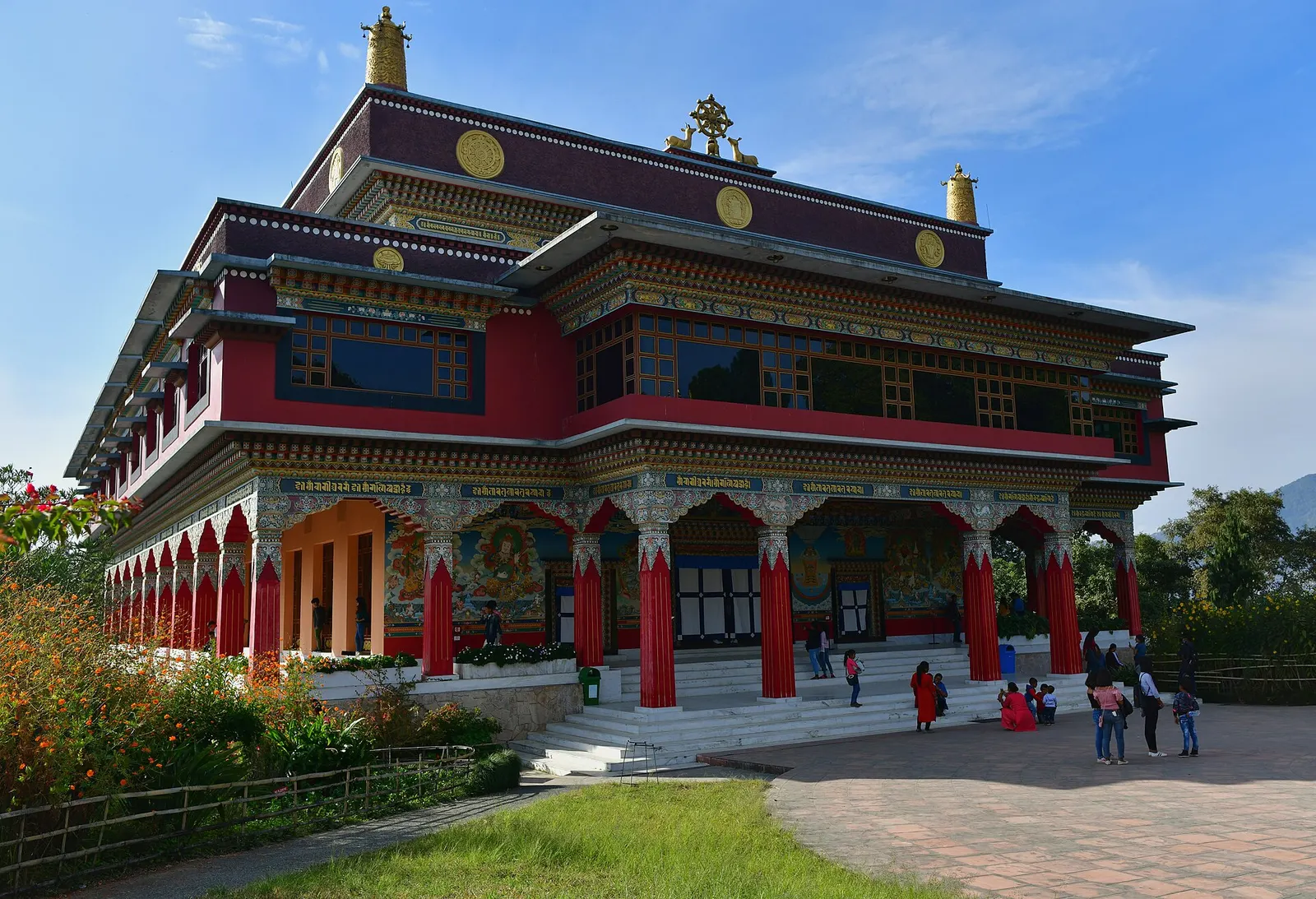
Temple, monastery or heritage site · 1,490 m
A Karma Kagyu monastery and retreat centre on a forested ridge north-east of Boudha, with views across the Kathmandu Valley.
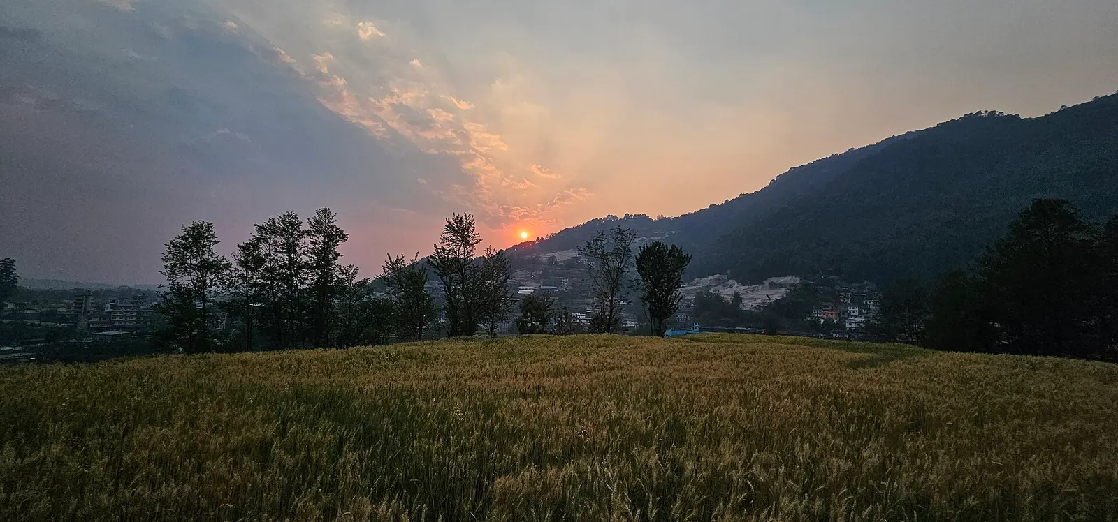
National park or conservation area · 2,732 m
Forested hills on Kathmandu's northern rim, protecting the valley's water sources, with day hikes to Shivapuri Peak, Nagi Gumba and Jamacho.
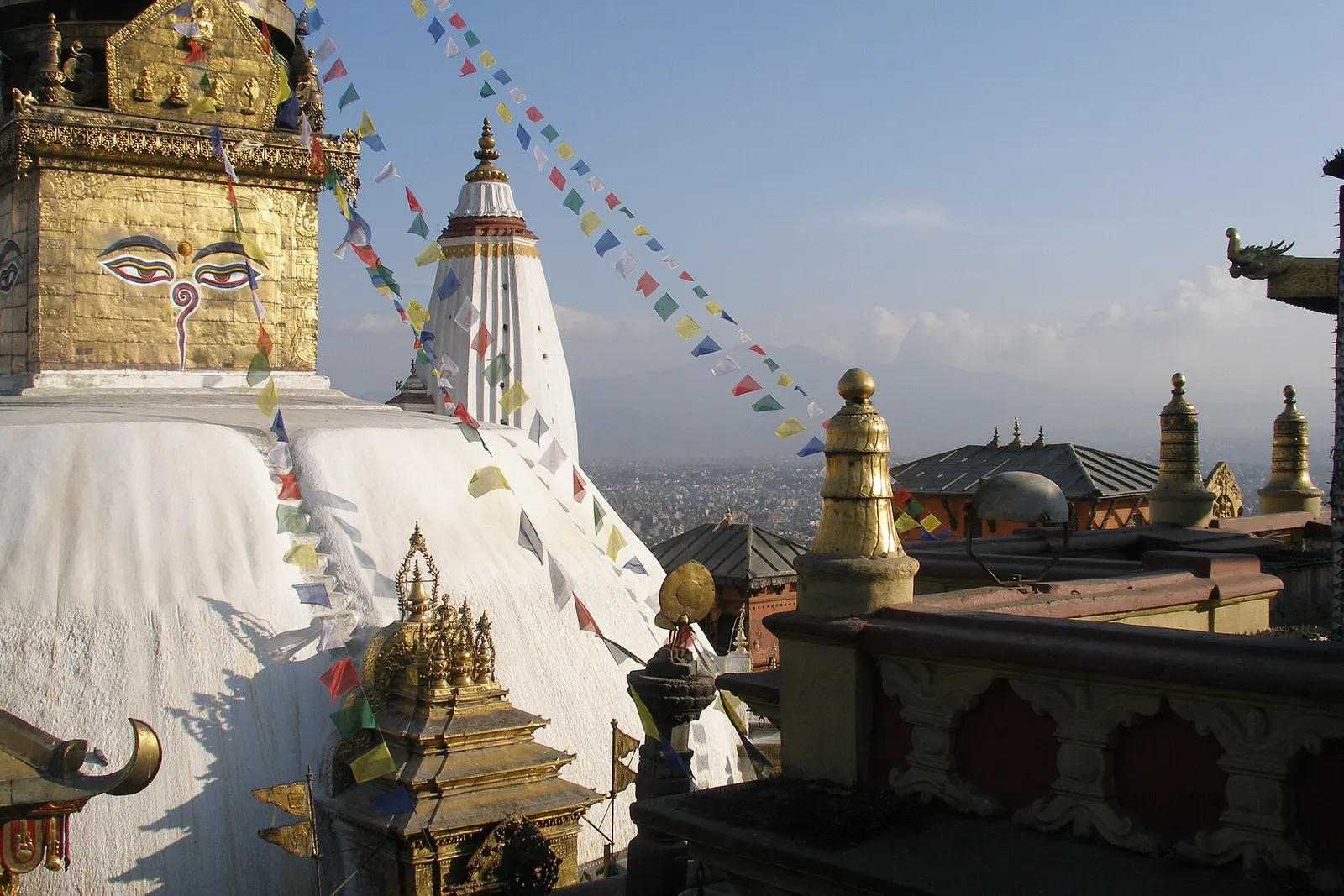
Temple, monastery or heritage site · 1,400 m
An ancient stupa on a wooded hill west of central Kathmandu, sacred to Buddhists and Hindus and home to a large troop of monkeys.
The city was historically called Kantipur, and its present name comes from Kasthamandap, a large wooden rest house in Durbar Square that tradition says was built from the timber of a single tree. Settlement in the valley goes back more than two thousand years, and the Licchavi kings ruled from here between roughly the 4th and 9th centuries. Under the Malla dynasty the valley split in the late 15th century into three rival kingdoms, Kathmandu, Patan and Bhaktapur, whose kings competed in building palaces and temples. In 1768 Prithvi Narayan Shah of Gorkha captured Kathmandu and made it the capital of a unified Nepal.
The indigenous people of the valley are the Newar, whose language, Buddhist and Hindu traditions, architecture and festivals still shape the old city, but Kathmandu today is home to people from every part of Nepal. Its festival calendar is full: Indra Jatra in September brings masked dances and the chariot procession of the Kumari, the living goddess, while Dashain and Tihar in October and November are the biggest family festivals of the year. The 2015 earthquake damaged many monuments, and restoration work continues at some sites.
Kathmandu Valley heritage dayWith a guide
A licensed cultural guide can take you through three or four of the valley's monument zones in a day and explain the stories behind the temples. Entry fees at each site are extra. Arranged through a licensed local operator.
indicative, about US$40 plus entry fees
Walk the old townFree
Walk south from Thamel through Asan and Indra Chowk to Durbar Square. The route passes small shrines, courtyards and market streets that have been trading for centuries. Go in the morning, when the shrines are busiest.
Everest mountain flightBookable locally
Domestic airlines fly an hour-long sightseeing loop along the Himalaya from Kathmandu at dawn, weather permitting. Arranged through a licensed local operator or an airline office.
indicative, about US$230
Momo cooking classBookable locally
Cooking schools in Thamel run three-hour classes, usually with a market visit. Book a day ahead.
indicative, about US$25-35
Trishuli River rafting day tripBookable locally
Rafting operators run daily departures on the Trishuli, on the highway towards Pokhara, with transport and lunch. Arranged through a licensed local operator.
indicative, about US$45-60
Bhote Koshi bungeeBookable locally
A long-running bungee jump over the Bhote Koshi gorge near the Tibet border, done as a full day from Kathmandu. Arranged through a licensed local operator.
indicative, from about US$80
See the four World Heritage zones
Kathmandu Durbar Square, Swayambhunath, Boudhanath and Pashupatinath can be covered in two full days by taxi and on foot.
Walk the old bazaars
Walk from Thamel through Asan and Indra Chowk to Durbar Square, past shrines, spice stalls and courtyards.
Ride up Chandragiri
Take the cable car from Thankot for views across the valley and, on clear days, to the Himalaya.
Hike in Shivapuri Nagarjun National Park
Walk forest trails on the northern rim, a day hike from the city.
Visit Patan and Bhaktapur
The valley's other two royal cities are 15-75 minutes away by road and each deserves at least half a day.
Forecast for 1,400 m. Conditions change fast in the mountains.
Weather data: MET Norway, licensed CC BY 4.0. A forecast, not a guarantee.
Mar-Apr, Oct-Dec
Thamel has the widest range of rooms and is walking distance from Durbar Square, but it is noisy at night. Boudha suits travellers who want quiet evenings around the stupa. Patan, across the Bagmati River, is a calmer base with its own durbar square and is still close to the centre.
Thamel has the widest choice; Boudha is quieter and Buddhist in character; Patan, across the river, is a calmer alternative with heritage guesthouses.
For a full dal bhat set, look for thakali kitchens, which serve rice, black lentils, greens and pickles with refills. The old town has long-running Newari khaja houses serving samay baji, bara (lentil patties) and choila (spiced grilled buffalo). Steamed momo are everywhere. Try juju dhau, the sweet set yogurt from Bhaktapur, which is also sold in the city.
Kathmandu is Nepal's main gateway, served by Tribhuvan International Airport and by highways from India and the rest of Nepal.
Nearest hub: Kathmandu
Nearest hub: Kathmandu (Tribhuvan International Airport). Times are typical ranges, not schedules, and vary with roadworks, weather and the season.
By airfrom International and domestic flightsKathmandu (Tribhuvan International)
Tribhuvan International is Nepal's main gateway, about 5.5 km east of Thamel, with domestic services to Pokhara, Lukla, Bharatpur, Bhairahawa and other towns. Prepaid taxis and hotel transfers run from the terminal and the transfer typically takes 20 to 45 minutes.
When to set off: domestic and mountain flights are scheduled in the morning, before midday cloud and wind build
By busfrom Pokharaabout 6-9 hTourist and local buses
Tourist coaches and local buses run the Prithvi Highway from Pokhara, about 200 km, and from Chitwan, about 150 to 170 km in five to seven hours. Buses from the Indian border crossings at Belahiya or Birgunj take roughly eight to twelve hours.
When to set off: tourist coaches from Pokhara and Chitwan leave early, usually between 06:30 and 07:30
By car or jeepfrom Pokharaabout 6-9 h
The Prithvi Highway is sealed but winding and mostly single carriageway, with long slow stretches behind freight between Mugling and Naubise.
Road: Sealed highway the whole way; monsoon landslide repairs typically narrow sections between Mugling and Naubise.
When to set off: leave by 07:00 to reach Kathmandu in daylight
By motorbikefrom Pokharaabout 7-10 hModerate riding
Riders usually break the Prithvi Highway ride at Mugling or Bandipur; the surface is sealed but the road is busy with freight and blind bends.
Road: Sealed but narrow, steep and winding, and slippery in the monsoon.
When to set off: start at first light for a one-day ride
Entry fee
No permit is needed for the city, but foreign visitors pay separate entry fees at the main heritage sites: Kathmandu Durbar Square, Swayambhunath, Boudhanath and Pashupatinath. Shivapuri Nagarjun National Park also charges an entry fee.
Verify before travel: permit rules and fees change. Checked 2026-10-06 against Department of Immigration, Nepal.
What this place is typically exposed to, and when. These are seasonal patterns, not a report on conditions now.
Floodingmoderate in a typical yearJun-Sep
Kathmandu takes most of its rain between June and September; prolonged downpours typically swell the Bagmati and its tributaries and flood low-lying riverside neighbourhoods, as the late-September 2024 monsoon did across the valley.
Othermoderate in a typical yearDec-Apr
Dry-season dust and haze are a normal feature of the Kathmandu valley, where measured PM2.5 has run several times the WHO guideline level. Visitors prone to asthma usually do better on early mornings and after rain.
Landslidesmoderate in a typical yearJun-Sep
The highways into the valley cross steep hill country, and monsoon landslides typically block sections of the Prithvi Highway and the other approach roads, so overland arrival days are unpredictable in July and August.
Road blockageslow in a typical yearJun-Sep
About two thirds of the valley's rain falls between June and September, and sustained downpours typically waterlog junctions and slow valley roads, so short cross-city journeys can take much longer than planned.
Coldlow in a typical yearDec-Feb
Valley nights from December to February typically fall to around freezing, with morning fog burning off by mid-morning, and few buildings have heating.
Check current conditions before you travel
Roads, trails, passes and flights change with the weather and with roadworks, and nothing on this page describes conditions today. Before you set off, check the Department of Hydrology and Meteorology for weather and flood warnings, the Nepal Disaster Risk Reduction Portal for incidents, and the local authority, police or your licensed operator for road, trail and flight status.
Safety
Traffic is heavy and pavements are uneven, so take care crossing roads. Air quality is often poor in winter and before the monsoon; a mask helps. At Pashupatinath, cremations take place on the riverbank: watch from the opposite bank and do not photograph mourners.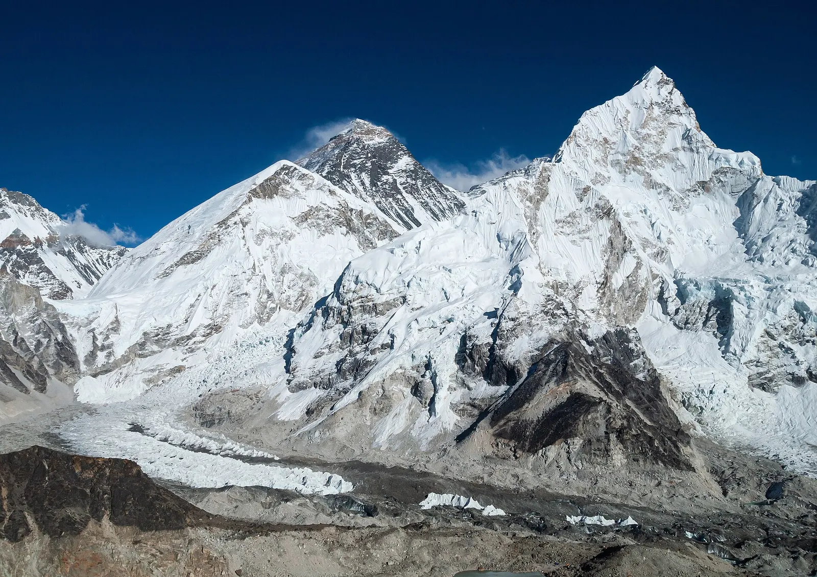
The classic teahouse trek from Lukla through Sherpa villages to Everest Base Camp (5,364 m) and the Kala Patthar viewpoint, with acclimatisation days in Namche and Dingboche.
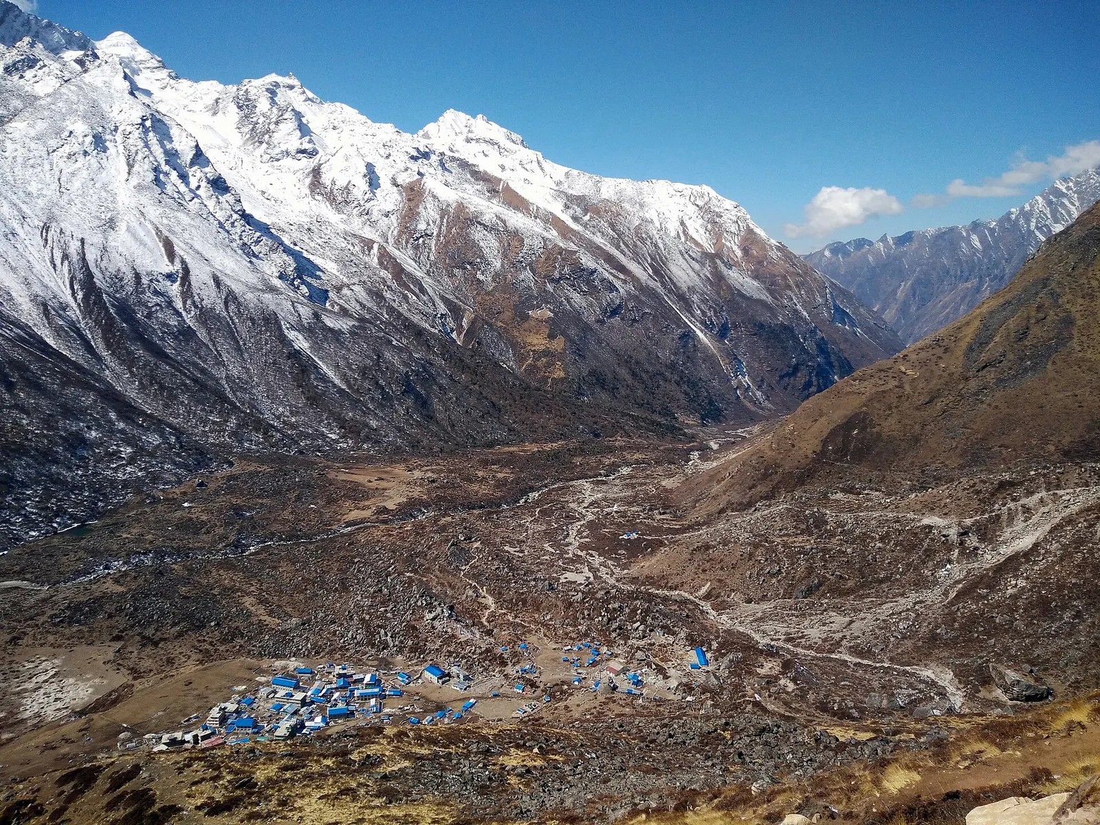
A road-accessed teahouse trek from Syabrubesi up the Langtang Khola to Kyanjin Gompa (about 3,870 m), with an optional climb to Tserko Ri for close views of Langtang Lirung. Check road access after the August 2026 floods.
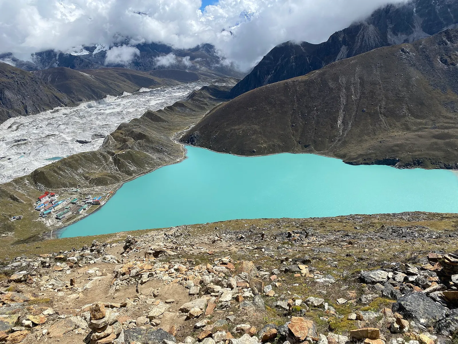
A teahouse trek from Lukla up the Dudh Kosi valley to the turquoise Gokyo Lakes beside the Ngozumpa Glacier, with a dawn climb of Gokyo Ri (about 5,357 m) for views of four 8,000 m peaks.
Two to three days covers the four World Heritage sites in the city, with one more day each for Patan and Bhaktapur.
About 5-6 km, usually 20-45 minutes by taxi depending on traffic.
October and November, when skies are clear and festivals are under way, with March and April a good second choice.
No permit is needed for the city itself, but the main heritage sites each charge foreign visitors an entry fee.
Yes. Most monument zones charge foreign visitors an entry fee at a ticket counter at the entrance. Fees change, so check at the counter, keep your ticket with you, and ask whether it can be extended if you plan to return on another day.
Yes. Patan, Bhaktapur, Nagarkot and the temple of Changunarayan are all within about an hour and a half by road, traffic permitting, and can be done as day trips.
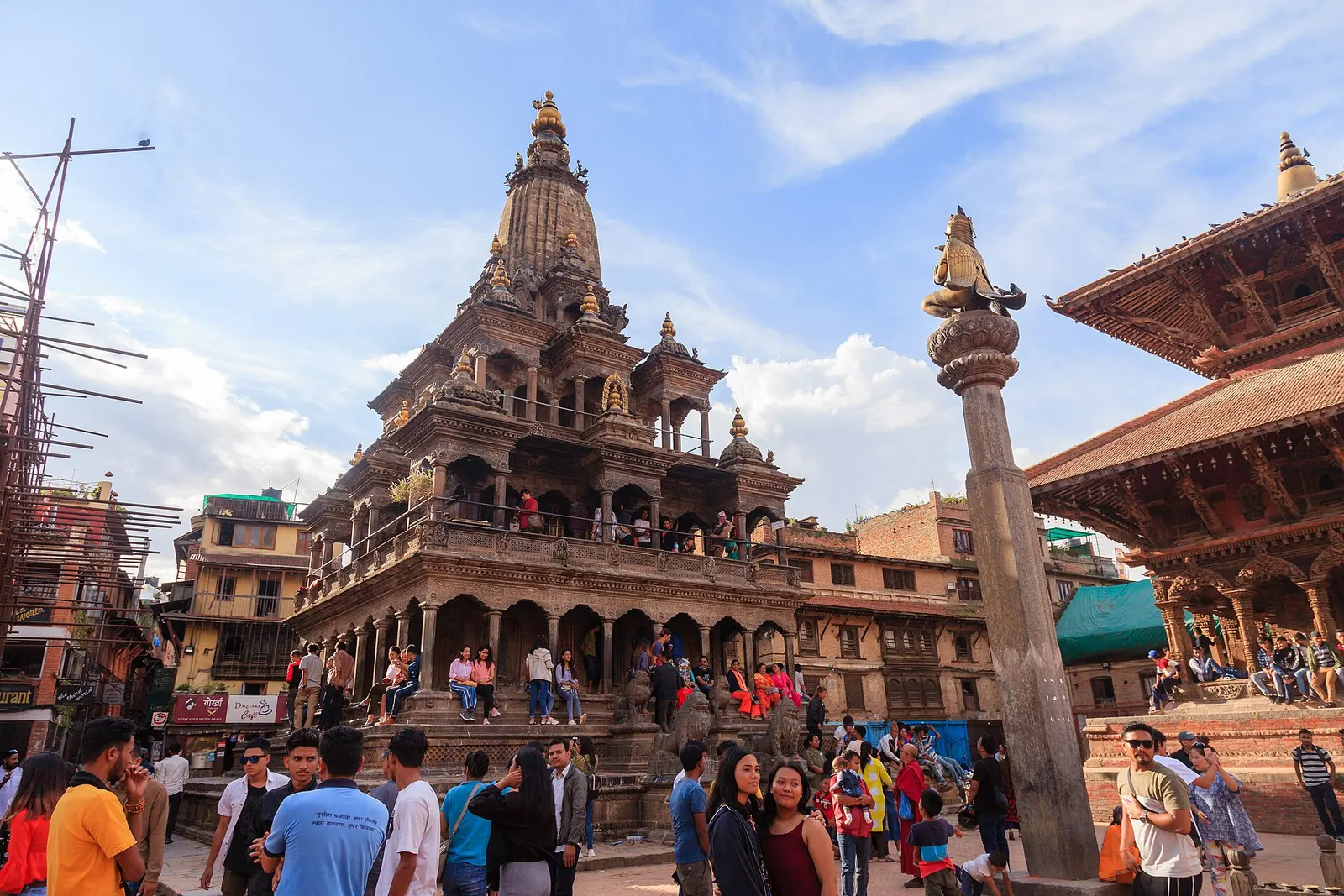
Town or village · 1,350 m
The old Newar city of Lalitpur across the Bagmati from Kathmandu, known for its Durbar Square, Buddhist courtyards and metalwork.
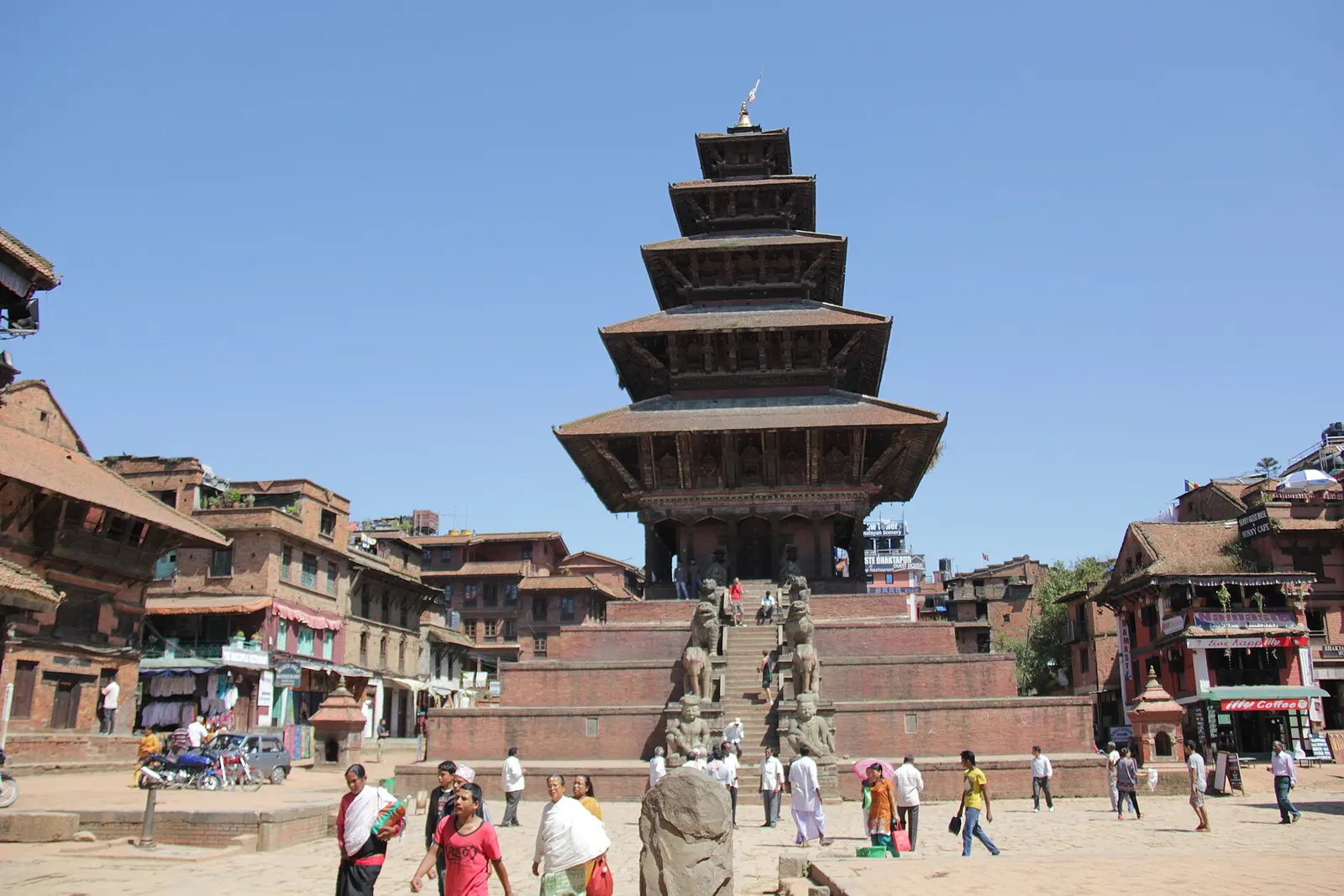
Town or village · 1,401 m
A medieval Newar city in the east of the Kathmandu Valley, known for its temple squares, pottery, woodcarving and festivals.
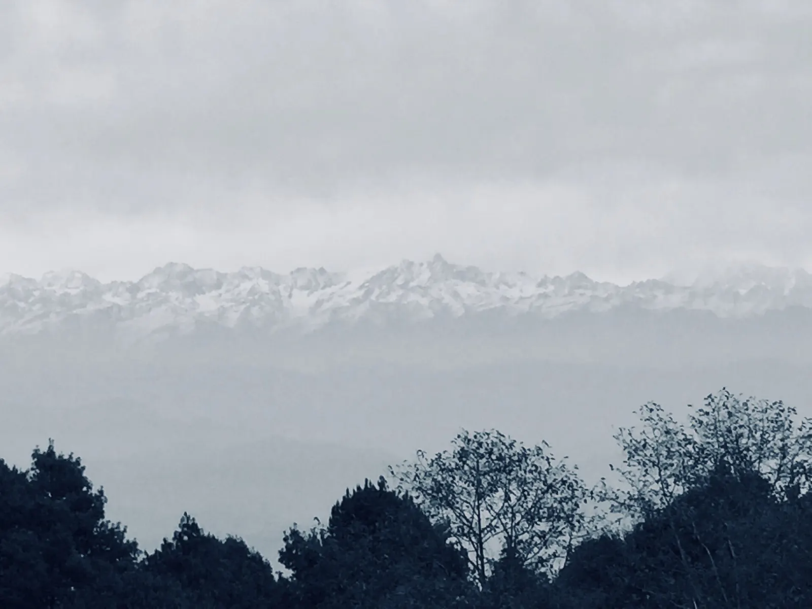
Viewpoint · 2,175 m
A ridge-top village on the eastern rim of the Kathmandu Valley, known for sunrise views across the Himalaya.