

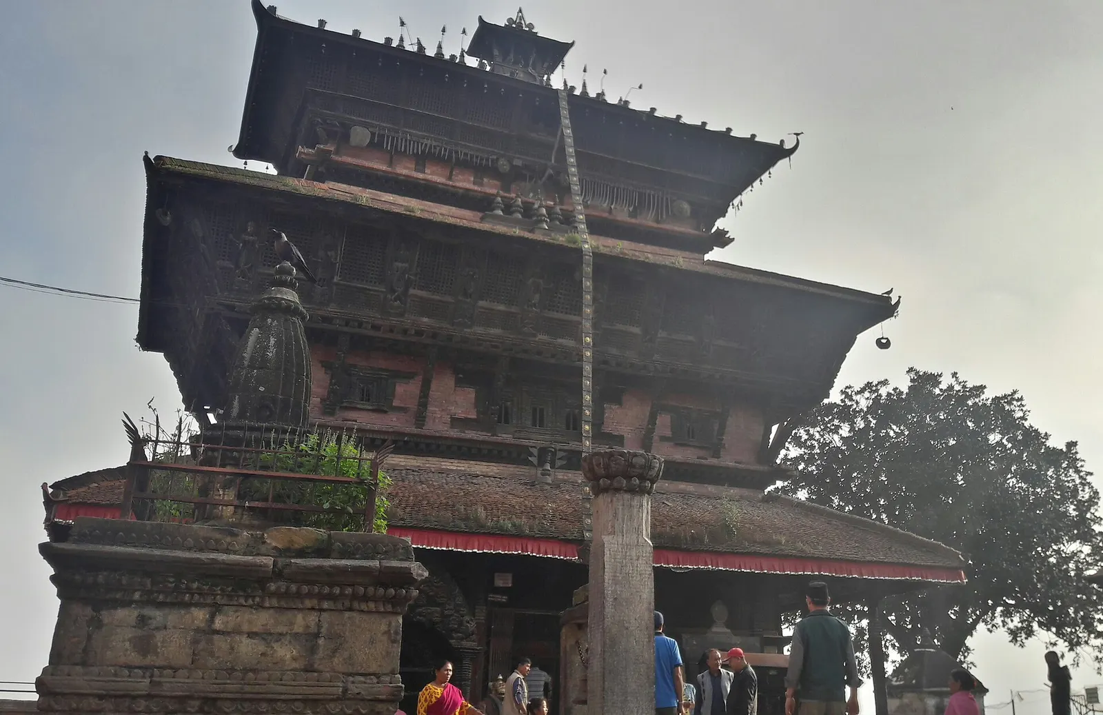
Town or village · 1,400 m
Kirtipur
An old Newar hill town on Kathmandu's south-western edge, with temples, valley views and a dramatic history of resistance.
Kathmanduस्वयम्भूनाथ
An ancient stupa on a wooded hill west of central Kathmandu, sacred to Buddhists and Hindus and home to a large troop of monkeys.
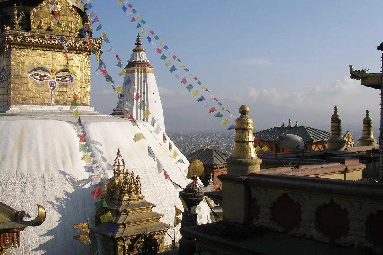
Swayambhunath crowns a small forested hill on the western edge of Kathmandu, about 2-3 km from Thamel. Its whitewashed dome and gilded tower, painted on all four sides with the watchful eyes of the Buddha, are visible from much of the city, and the terrace around it gives one of the widest views across the valley rooftops to the surrounding hills and, on clear winter mornings, to snow peaks in the north.
Most visitors arrive either by the steep eastern stairway of about 365 stone steps, which starts at a gateway with large Buddha statues and climbs through trees full of rhesus macaques, or by road to a car park near the western side of the hill. At the top the main stupa is ringed by prayer wheels, smaller chaityas, Tibetan and Newar monasteries, butter-lamp houses and a Hindu temple to Harati, the goddess believed to protect children against smallpox and illness.
The site is busiest in the early morning, when local devotees walk the circuit clockwise, spin the prayer wheels and light lamps before work, and again around sunset. The monkeys that gave the place its English nickname are bold around food, so keep snacks out of sight. Allow one to two hours, more if you want to walk around the base of the hill or visit the nearby museum and monasteries.
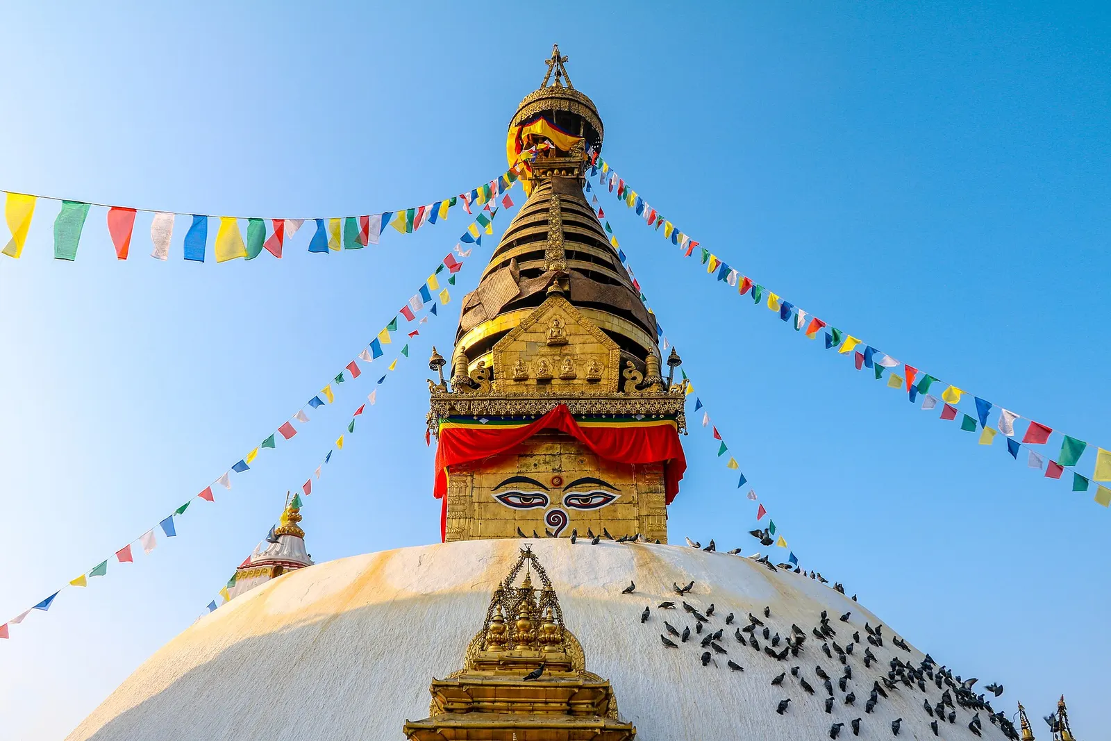
Swayambhu means self-arisen or self-existent. According to the Swayambhu Purana, the valley was once a lake, and a lotus that grew from its waters gave off a light that was the self-created form of the Buddha; the bodhisattva Manjushri is said to have cut a gorge at Chobar to drain the lake so pilgrims could reach it, and the hill emerged where the lotus stood. This is legend, but it is central to how the valley understands its own origin. Historically, the site is very old: inscriptions attribute early work to the Licchavi king Manadeva in the 5th century, and the stupa has been rebuilt and renovated many times since, including after damage in the 2015 earthquake.
Swayambhu is especially important to Newar Buddhists of the valley, who maintain many of its rituals, and it also draws Tibetan Buddhists and Hindus. Major gatherings take place at Buddha Jayanti (Buddha's birthday, usually in May) and during the Newar month of Gunla in the monsoon, when devotees climb the hill daily to the sound of traditional music.
Climb the eastern stairway
Start at the gate on the eastern side and climb the roughly 365 steep steps, taking breaks to watch the monkeys and the views open up.
Walk the kora at sunrise
Join devotees circling the stupa clockwise in the early morning, when the light is soft and tour groups have not yet arrived.
Visit the surrounding shrines
Look for the Harati temple, the giant vajra on the eastern side, and the monasteries around the terrace.
Watch sunset over the valley
Stay into the late afternoon for the city lights coming on below the hill.
Forecast for 1,400 m. Conditions change fast in the mountains.
Weather data: MET Norway, licensed CC BY 4.0. A forecast, not a guarantee.
Oct-Mar
Most visitors stay in Thamel or elsewhere in central Kathmandu; there are a few guesthouses on the lanes around the base of the hill.
No partner stays are listed here yet. List a property.
Swayambhunath is on the western edge of central Kathmandu, about 2-3 km from Thamel.
Nearest hub: Kathmandu
Nearest hub: Kathmandu. Times are typical ranges, not schedules, and vary with roadworks, weather and the season.
By busfrom Kathmanduabout 0.3-0.7 hLocal buses
Microbuses and tempos towards Swayambhu stop at the foot of the eastern stairway.
By car or jeepfrom Kathmanduabout 0.15-0.4 h
Taxis reach either the eastern gate at the bottom of the steps or the western car park close to the top, which avoids the 365-step climb.
Road: Sealed city roads throughout; allow generous extra time at peak commuting hours.
By motorbikefrom Kathmanduabout 0.15-0.4 hEasy riding
Short sealed run west; the western approach road climbs to a car park near the summit.
Road: Sealed city roads throughout; allow generous extra time at peak commuting hours.
On footfrom Thamelabout 0.5-0.8 h30-45 minutes from Thamel, about 2 to 3 km, with a steep stairway at the end
West across the Bishnumati river to the eastern stairway, then 365 steps up.
Entry fee
Foreign visitors pay an entry fee at the ticket booths on the stairway and at the road entrance; Nepali citizens and worshippers do not pay the same fee.
Verify before travel: permit rules and fees change. Checked 2026-10-06 against Kathmandu, Wikivoyage.
What this place is typically exposed to, and when. These are seasonal patterns, not a report on conditions now.
Othermoderate in a typical yearDec-Apr
Dry-season dust and haze are a normal feature of the Kathmandu valley, where measured PM2.5 has run several times the WHO guideline level. Visitors prone to asthma usually do better on early mornings and after rain.
Floodinglow in a typical yearJun-Sep
The hilltop is above the flood line, but the Bishnumati lanes below it typically flood in the June to September downpours, and the stone stairway becomes slippery when wet.
Road blockageslow in a typical yearJun-Sep
About two thirds of the valley's rain falls between June and September, and sustained downpours typically waterlog junctions and slow valley roads, so short cross-city journeys can take much longer than planned.
Coldlow in a typical yearDec-Feb
Valley nights from December to February typically fall to around freezing, with morning fog burning off by mid-morning, and few buildings have heating.
Check current conditions before you travel
Roads, trails, passes and flights change with the weather and with roadworks, and nothing on this page describes conditions today. Before you set off, check the Department of Hydrology and Meteorology for weather and flood warnings, the Nepal Disaster Risk Reduction Portal for incidents, and the local authority, police or your licensed operator for road, trail and flight status.
A large troop of rhesus macaques lives on the wooded hill and around the stupa, so visitors nicknamed it the Monkey Temple.
The eastern stairway is usually counted at about 365 steep steps. You can avoid them by taking a taxi to the road entrance near the top on the western side.
Yes, foreign visitors pay an entry fee at the entrance. Check the current amount on arrival.
Early morning, when local devotees walk the circuit and the light is soft, or late afternoon for sunset over Kathmandu.
Town or village · 1,400 m
An old Newar hill town on Kathmandu's south-western edge, with temples, valley views and a dramatic history of resistance.
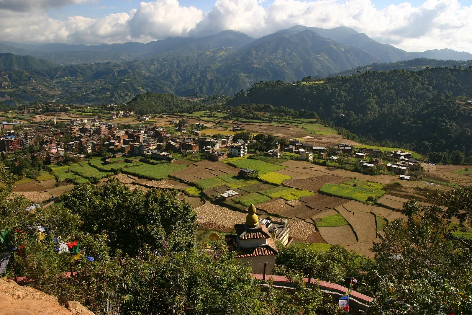
Town or village · 1,570 m
A small Newar town on the southern rim of the Kathmandu Valley, sacred to Vajrayana Buddhists for Guru Rinpoche's meditation caves.
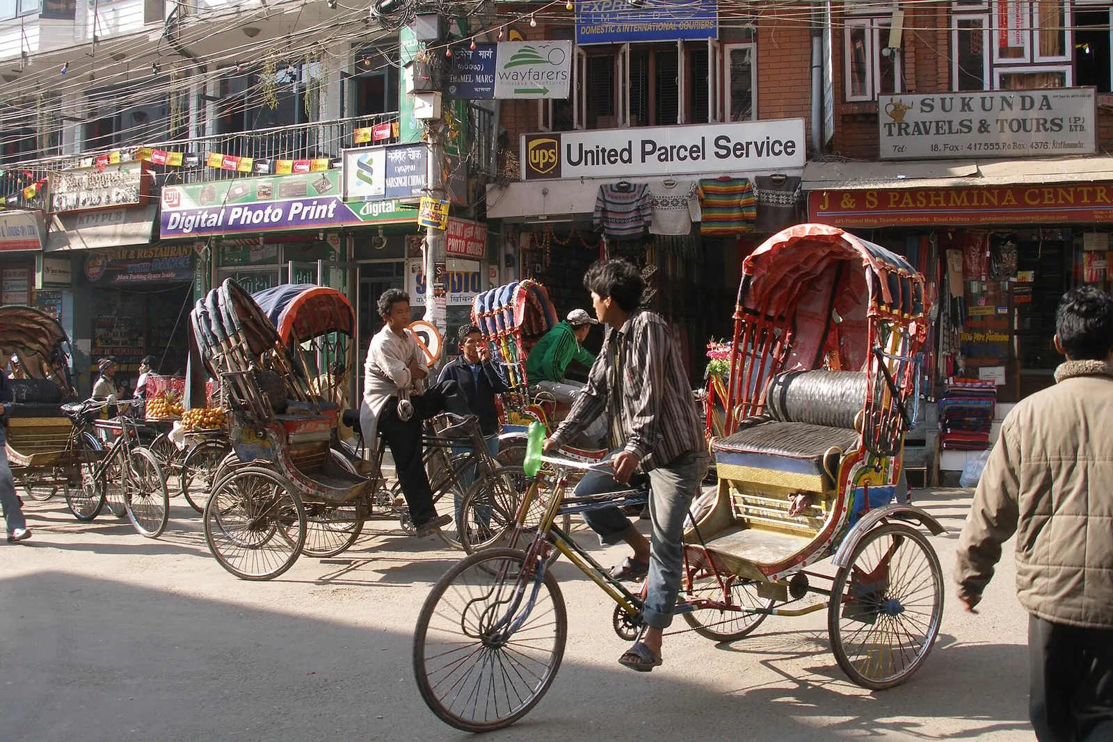
Town or village · 1,320 m
Kathmandu's traveller quarter of narrow lanes, guesthouses, trekking shops and cafes, a short walk north of the old city.
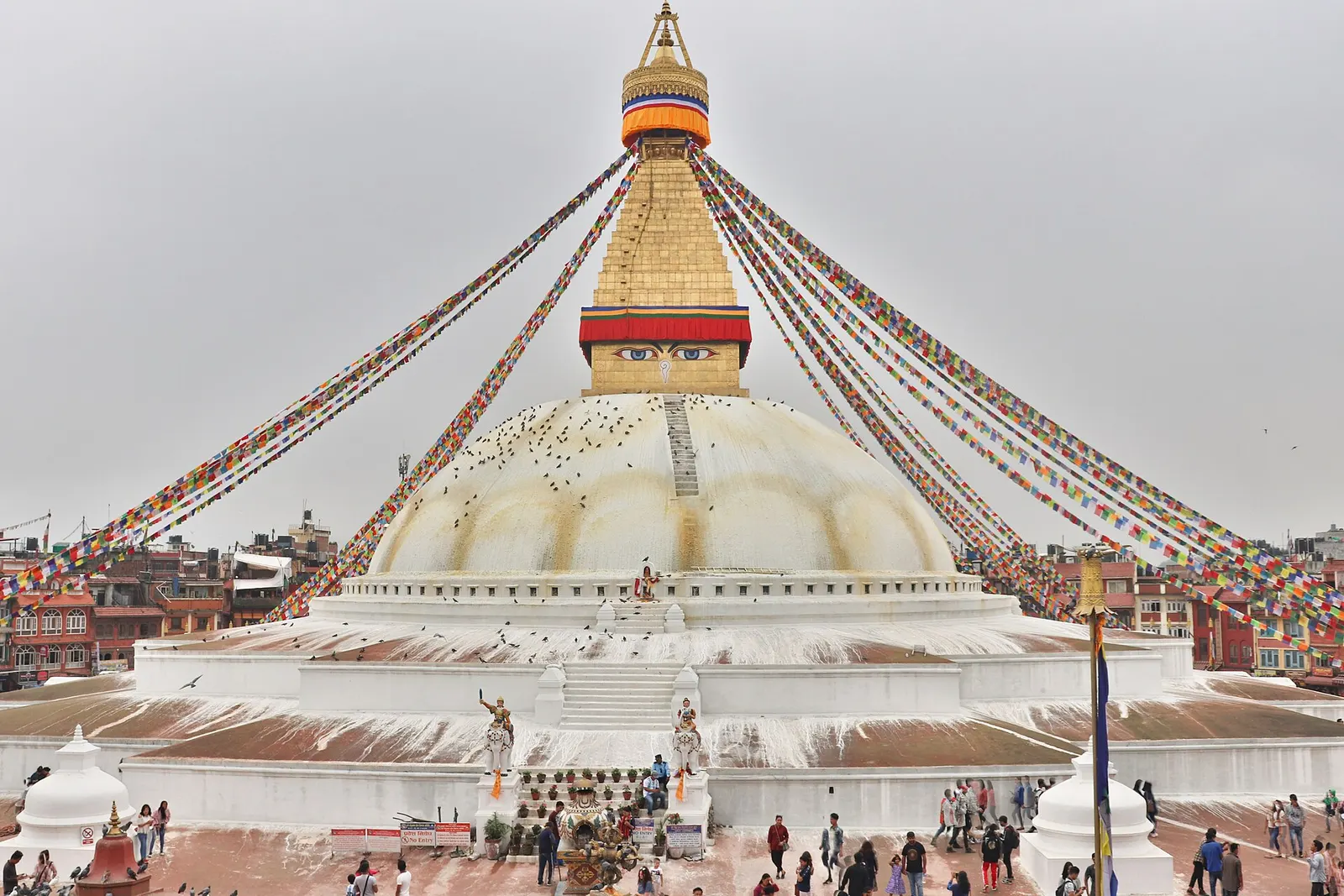
Temple, monastery or heritage site · 1,340 m
The great white stupa of north-east Kathmandu, centre of the valley's Tibetan Buddhist community and its many monasteries.
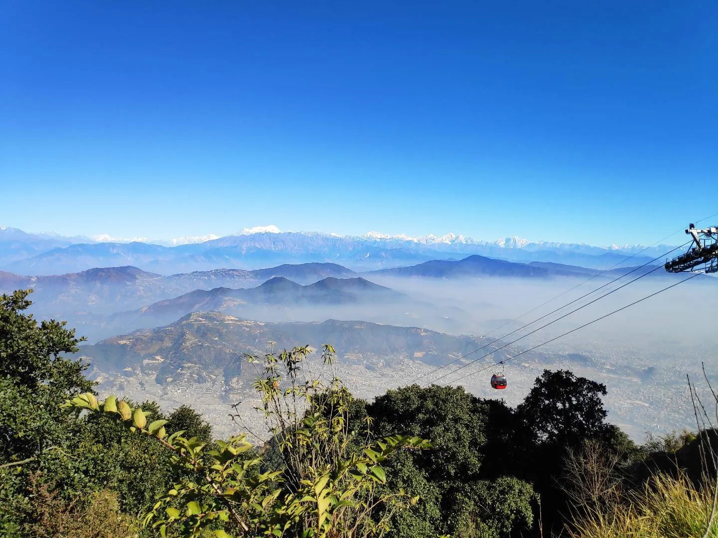
Viewpoint · 2,551 m
A hill on the Kathmandu Valley's south-western rim, reached by cable car, with a Shiva temple and wide Himalayan views.
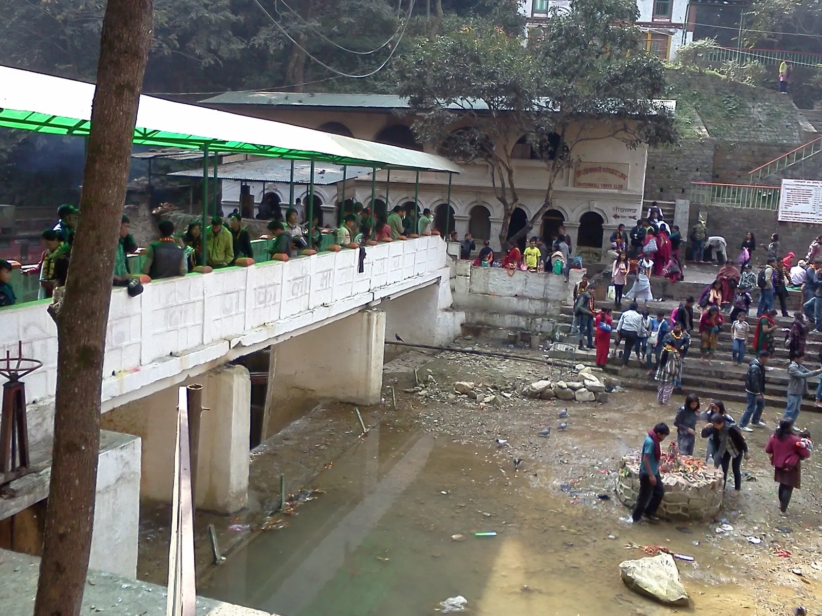
Temple, monastery or heritage site · 1,480 m
A Hindu temple to the goddess Kali in a forested gorge south of Pharping, known for its Tuesday and Saturday animal sacrifices.
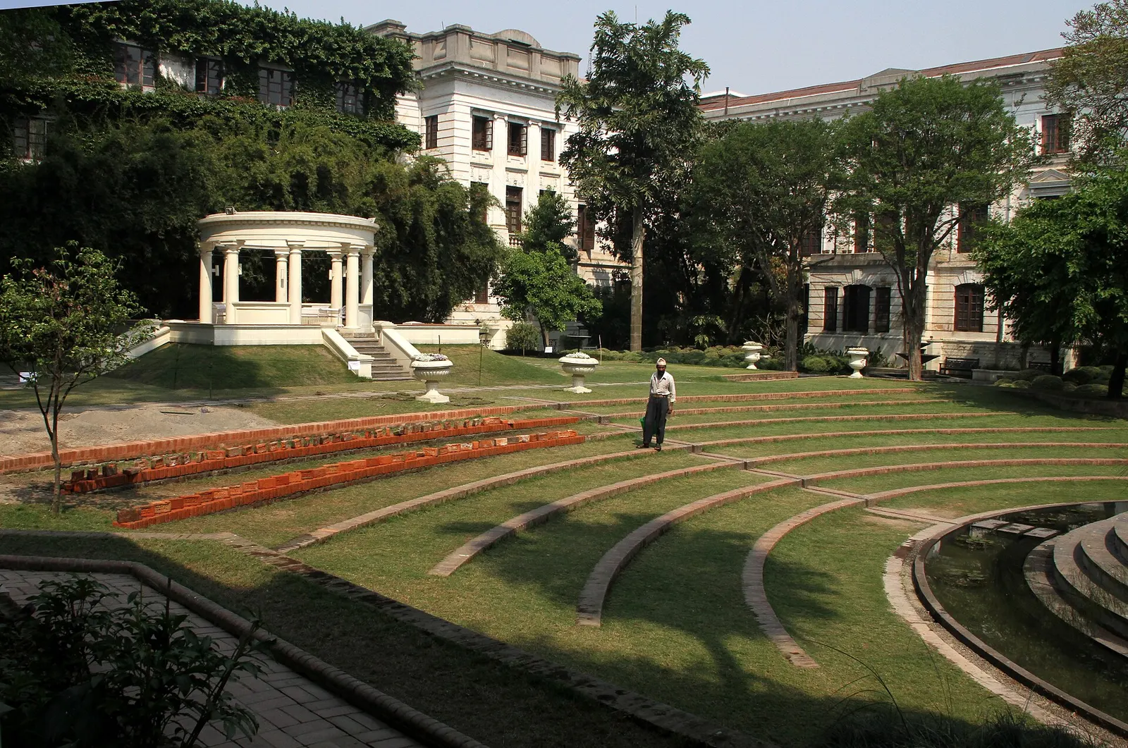
Temple, monastery or heritage site · 1,320 m
A restored 1920s Rana-era garden of pavilions, ponds and lawns at the edge of Thamel.
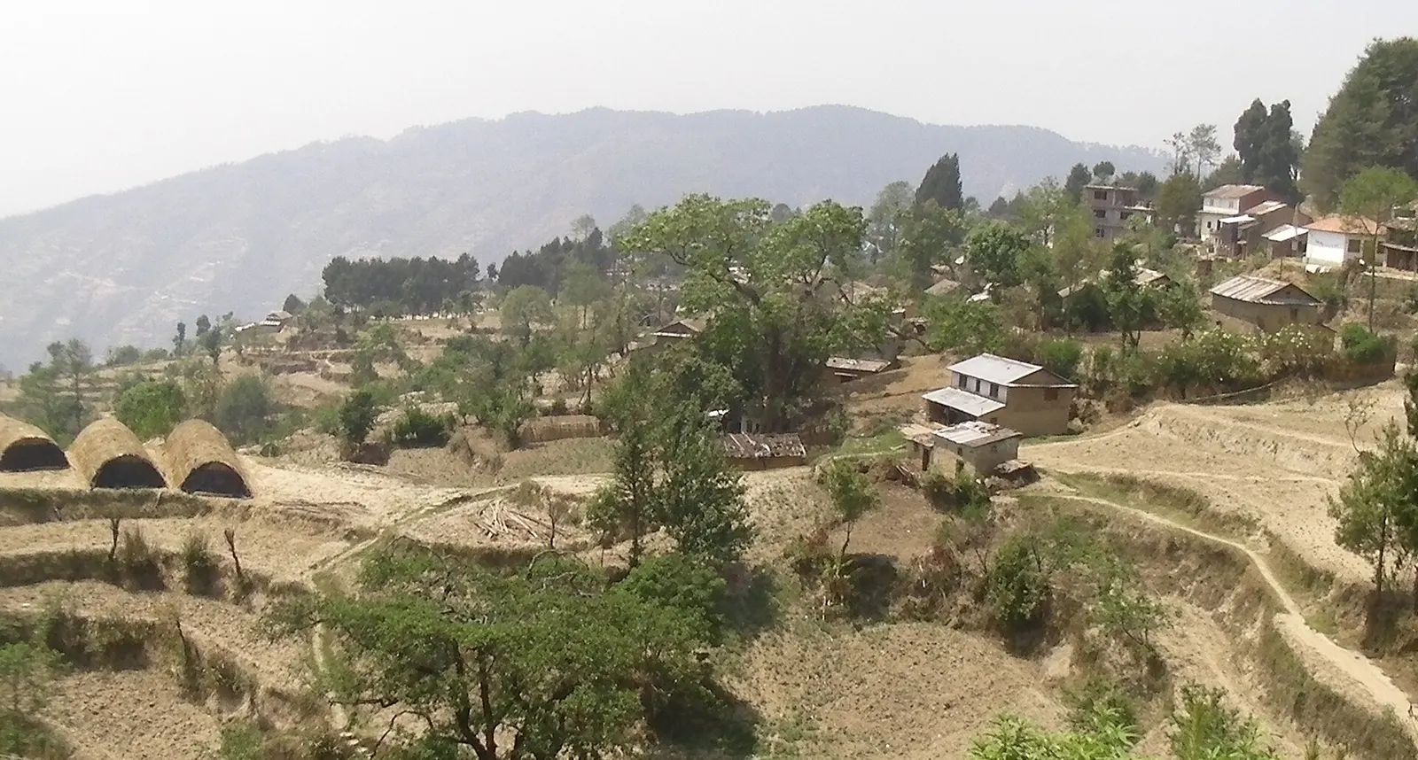
Viewpoint · 2,030 m
A quiet hill station just outside the Kathmandu Valley in Nuwakot, with Himalayan views, strawberry farms and memorial parks.
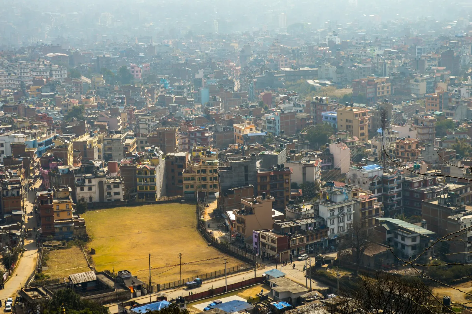
Town or village · 1,400 m
Nepal's capital, a sprawling valley city wrapped around a medieval Newar core, with major Hindu and Buddhist sites and the country's main airport.