

Town or village · 1,400 m
Kirtipur
An old Newar hill town on Kathmandu's south-western edge, with temples, valley views and a dramatic history of resistance.
Kathmanduबौद्धनाथ
The great white stupa of north-east Kathmandu, centre of the valley's Tibetan Buddhist community and its many monasteries.
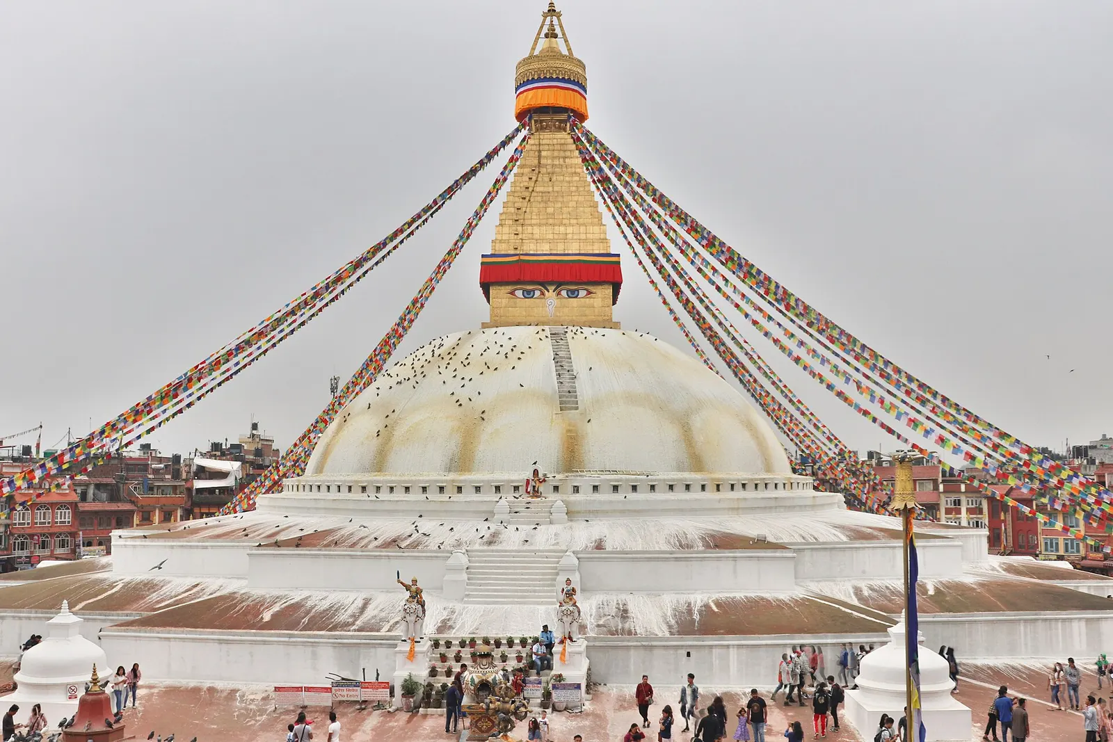
Boudhanath is a vast whitewashed stupa in the north-east of Kathmandu, about 6-7 km from Thamel and a short drive from the airport. Seen from above, it is laid out as a giant mandala: three broad terraces, a huge hemispherical dome, and a square gilded tower painted with the eyes of the Buddha, topped by thirteen tiers and a canopy. It is the largest spherical stupa in Nepal and one of the largest in the world.
A circular plaza of tall buildings rings the stupa, filled with monasteries, shops selling thangka paintings, singing bowls and incense, and rooftop cafes with views straight onto the dome. Pilgrims, monks and nuns walk the kora clockwise from before dawn until late evening, spinning the prayer wheels set into the outer wall, and the whole circuit is strung with prayer flags. You can climb onto the lower terraces of the stupa for a closer look.
Boudha is calmer than Thamel and many travellers choose to stay here, particularly for a few days of rest after a trek or to attend teachings at one of the monasteries. Kopan and Pullahari monasteries are on the hills to the north, within a taxi ride or a 1-2 hour walk, and Pashupatinath is about 2-3 km to the south-west, a walk that many visitors combine with Boudha in a single day.
Newar chronicles link the stupa, known locally as Khasti Chaitya, to Licchavi kings of the 5th to 7th centuries, with different texts naming Manadeva or Shivadeva; a Newar legend says it was built as atonement by a prince who unknowingly killed his father. The present structure most likely dates from around the 14th century. Boudha lay on the old trade route between Tibet and the valley, entering through Sankhu, and Tibetan traders prayed here for centuries before modern roads.
After the 1959 Tibetan uprising, many refugees settled around the stupa, and more than 50 monasteries of the different Tibetan Buddhist schools have since been built in the area, alongside the Sherpa, Tamang and Newar Buddhist communities who also worship here. The stupa was damaged in the 2015 earthquake, when the upper spire had to be dismantled, and it was restored with community donations and reopened in late 2016. The biggest celebrations are at Losar, the Tibetan New Year in February or March, and Buddha Jayanti, when the stupa is draped in new prayer flags and lit with butter lamps.
Walk the kora
Circle the stupa clockwise at dawn or dusk, when the plaza is full of local devotees rather than tour groups.
Climb onto the terraces
Access to the lower terraces gives a closer view of the dome, the eyes and the prayer flags overhead.
Visit a monastery
Several monasteries in the lanes around the plaza welcome respectful visitors to their prayer halls, especially during morning or afternoon puja.
Walk to Pashupatinath
Follow the back lanes about 2-3 km south-west to Pashupatinath, roughly 30-45 minutes on foot.
Light butter lamps
Lamp houses around the stupa let visitors make an offering, a common practice for remembering loved ones.
Forecast for 1,340 m. Conditions change fast in the mountains.
Weather data: MET Norway, licensed CC BY 4.0. A forecast, not a guarantee.
Oct-Mar
Guesthouses and hotels in the lanes around the stupa, plus some monastery guesthouses; quieter at night than Thamel.
No partner stays are listed here yet. List a property.
Boudhanath is in north-east Kathmandu, about 6-7 km from Thamel and 3-4 km from the airport.
Nearest hub: Kathmandu
Nearest hub: Kathmandu. Times are typical ranges, not schedules, and vary with roadworks, weather and the season.
By busfrom Kathmanduabout 0.5-1 hLocal buses
Local buses and microbuses towards Jorpati and Chabahil stop on the main road beside the stupa gate, a couple of minutes from the plaza.
When to set off: microbuses run through the day, roughly 06:00 to 19:00
By car or jeepfrom Kathmanduabout 0.3-0.7 h
About 6 to 7 km north-east of Thamel and 3 to 4 km from the airport; taxis drop at the western gate, and vehicles cannot enter the plaza.
Road: Sealed roads via the Ring Road; the last lanes into the old quarters are narrow and sometimes brick-paved.
By motorbikefrom Kathmanduabout 0.25-0.6 hEasy riding
Easy sealed run via the Ring Road; park outside the gate rather than in the plaza.
Road: Sealed city roads throughout; allow generous extra time at peak commuting hours.
On footfrom Pashupatinath Templeabout 0.5-0.8 h30-45 minutes from Pashupatinath, about 2 to 3 km, gently uphill
North-east through residential lanes, the usual link between the two heritage sites.
Entry fee
Foreign visitors pay an entry fee at the gates into the stupa plaza; there is no charge for worshippers.
Verify before travel: permit rules and fees change. Checked 2026-10-06 against Kathmandu, Wikivoyage.
What this place is typically exposed to, and when. These are seasonal patterns, not a report on conditions now.
Othermoderate in a typical yearDec-Apr
Dry-season dust and haze are a normal feature of the Kathmandu valley, where measured PM2.5 has run several times the WHO guideline level. Visitors prone to asthma usually do better on early mornings and after rain.
Floodinglow in a typical yearJun-Sep
The stupa plaza sits above the worst of it, but monsoon downpours between June and September typically flood low-lying lanes on the Jorpati side and the approach roads; the valley's record late-September 2024 rain inundated riverside districts.
Road blockageslow in a typical yearJun-Sep
About two thirds of the valley's rain falls between June and September, and sustained downpours typically waterlog junctions and slow valley roads, so short cross-city journeys can take much longer than planned.
Coldlow in a typical yearDec-Feb
Valley nights from December to February typically fall to around freezing, with morning fog burning off by mid-morning, and few buildings have heating.
Check current conditions before you travel
Roads, trails, passes and flights change with the weather and with roadworks, and nothing on this page describes conditions today. Before you set off, check the Department of Hydrology and Meteorology for weather and flood warnings, the Nepal Disaster Risk Reduction Portal for incidents, and the local authority, police or your licensed operator for road, trail and flight status.
Take a taxi, about 6-7 km and 20-40 minutes depending on traffic, or a local bus from Ratna Park towards Jorpati.
Yes, foreign visitors pay an entry fee at the gate into the stupa plaza. Check the current amount on arrival.
Yes. The two are about 2-3 km apart, a 30-45 minute walk through residential lanes.
Early morning or around sunset, when devotees walk the kora and butter lamps are lit.
Town or village · 1,400 m
An old Newar hill town on Kathmandu's south-western edge, with temples, valley views and a dramatic history of resistance.
Town or village · 1,570 m
A small Newar town on the southern rim of the Kathmandu Valley, sacred to Vajrayana Buddhists for Guru Rinpoche's meditation caves.
Town or village · 1,320 m
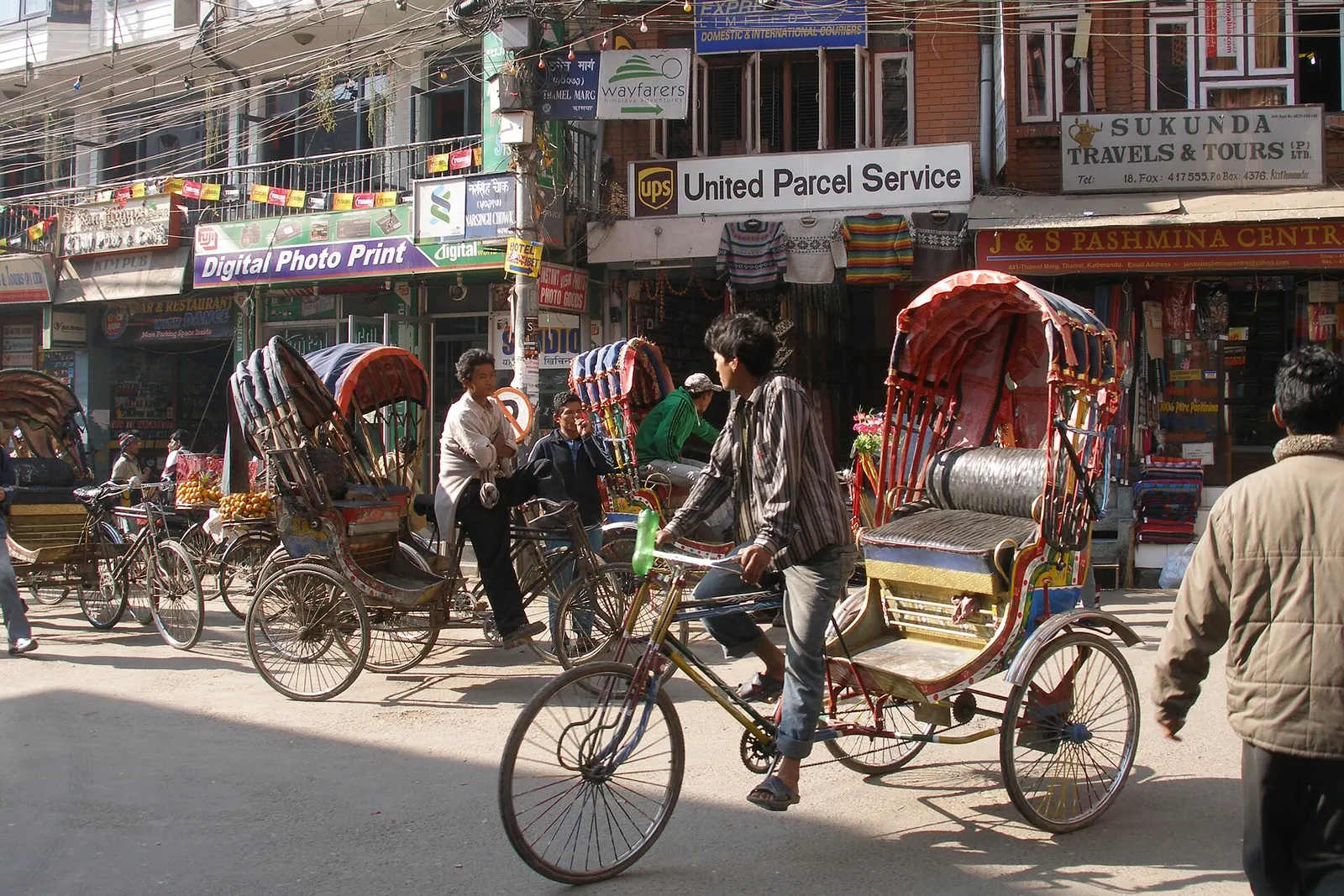
Kathmandu's traveller quarter of narrow lanes, guesthouses, trekking shops and cafes, a short walk north of the old city.
Viewpoint · 2,551 m
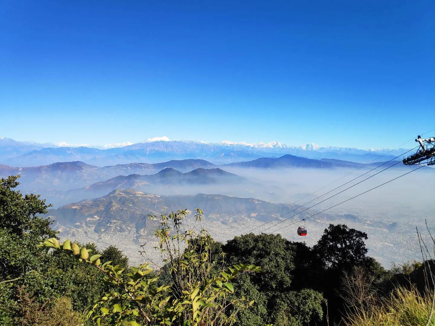
A hill on the Kathmandu Valley's south-western rim, reached by cable car, with a Shiva temple and wide Himalayan views.
Temple, monastery or heritage site · 1,480 m
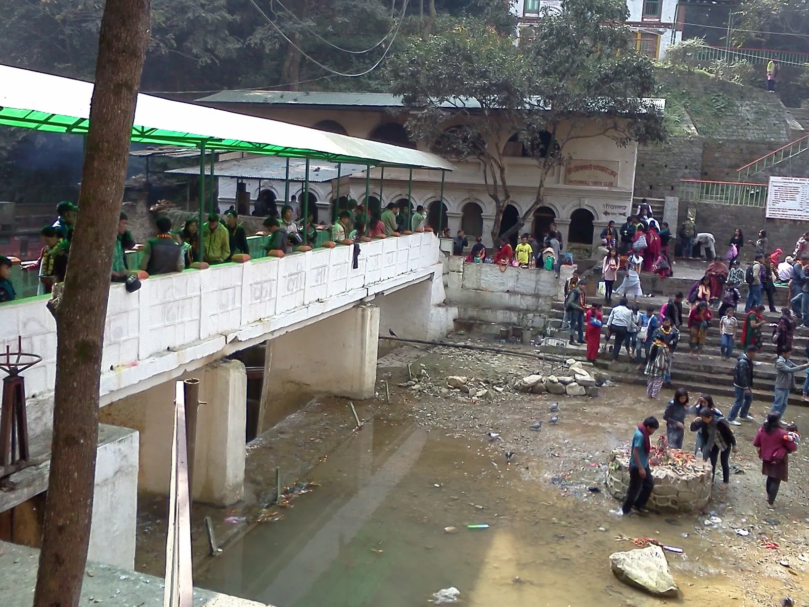
A Hindu temple to the goddess Kali in a forested gorge south of Pharping, known for its Tuesday and Saturday animal sacrifices.
Temple, monastery or heritage site · 1,320 m
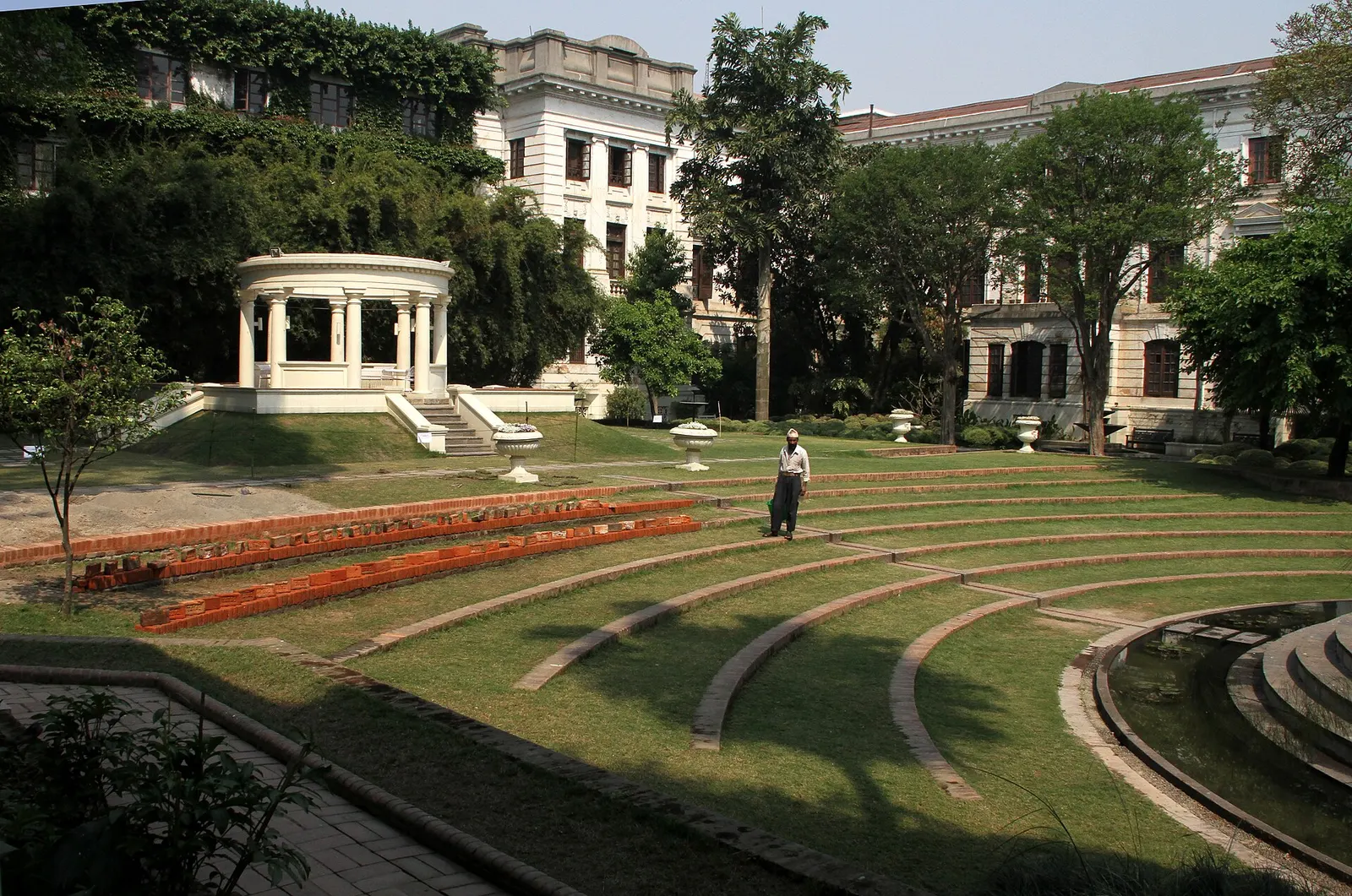
A restored 1920s Rana-era garden of pavilions, ponds and lawns at the edge of Thamel.
Viewpoint · 2,030 m
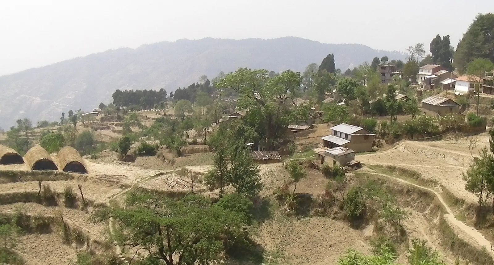
A quiet hill station just outside the Kathmandu Valley in Nuwakot, with Himalayan views, strawberry farms and memorial parks.
Temple, monastery or heritage site · 1,310 m
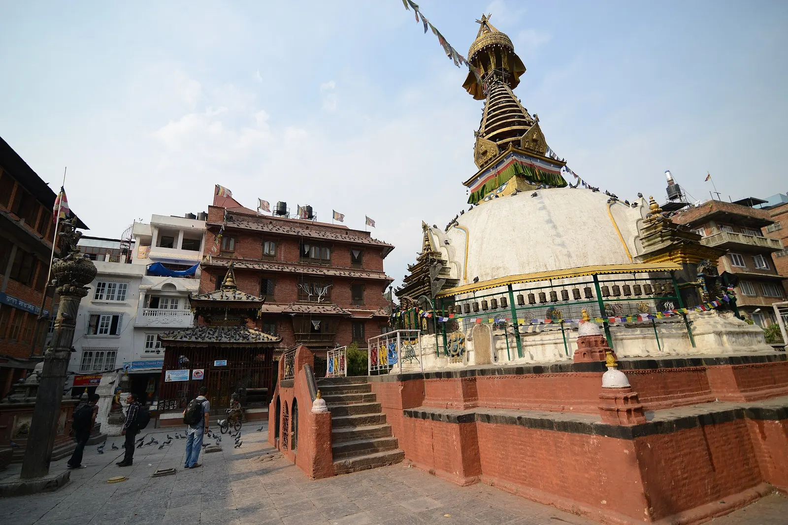
A centuries-old miniature of Swayambhunath in a quiet courtyard a few minutes' walk south of Thamel.
Town or village · 1,400 m
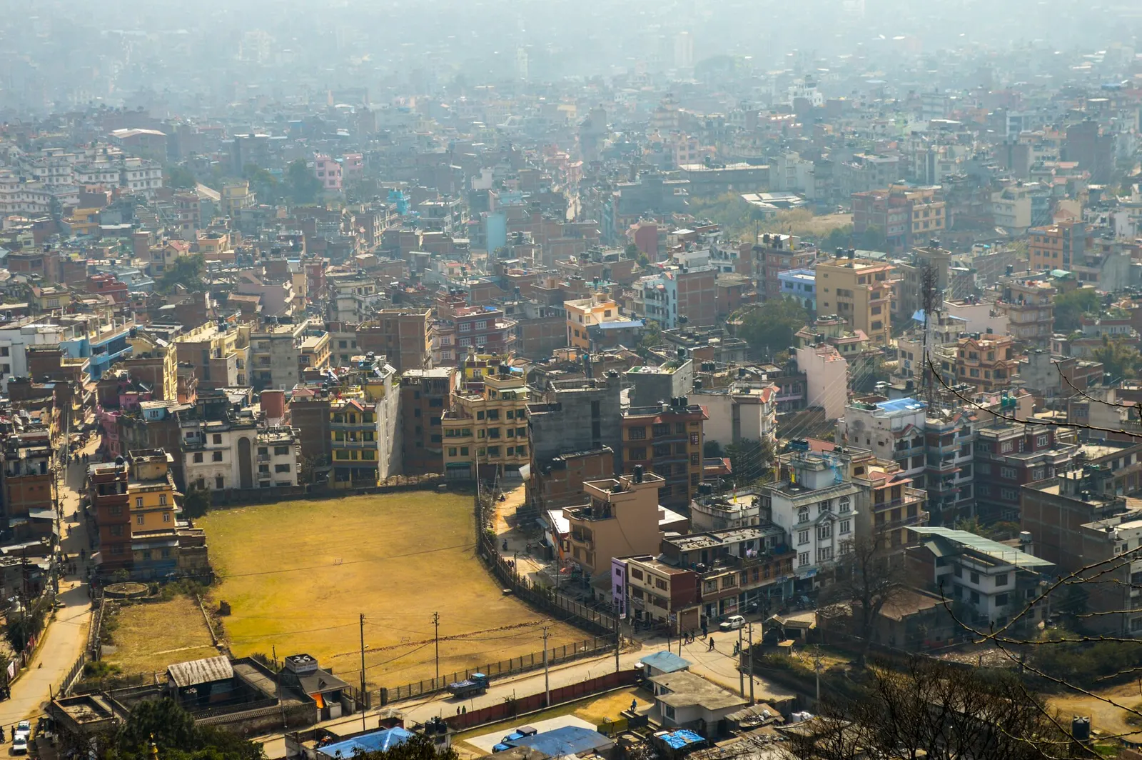
Nepal's capital, a sprawling valley city wrapped around a medieval Newar core, with major Hindu and Buddhist sites and the country's main airport.