
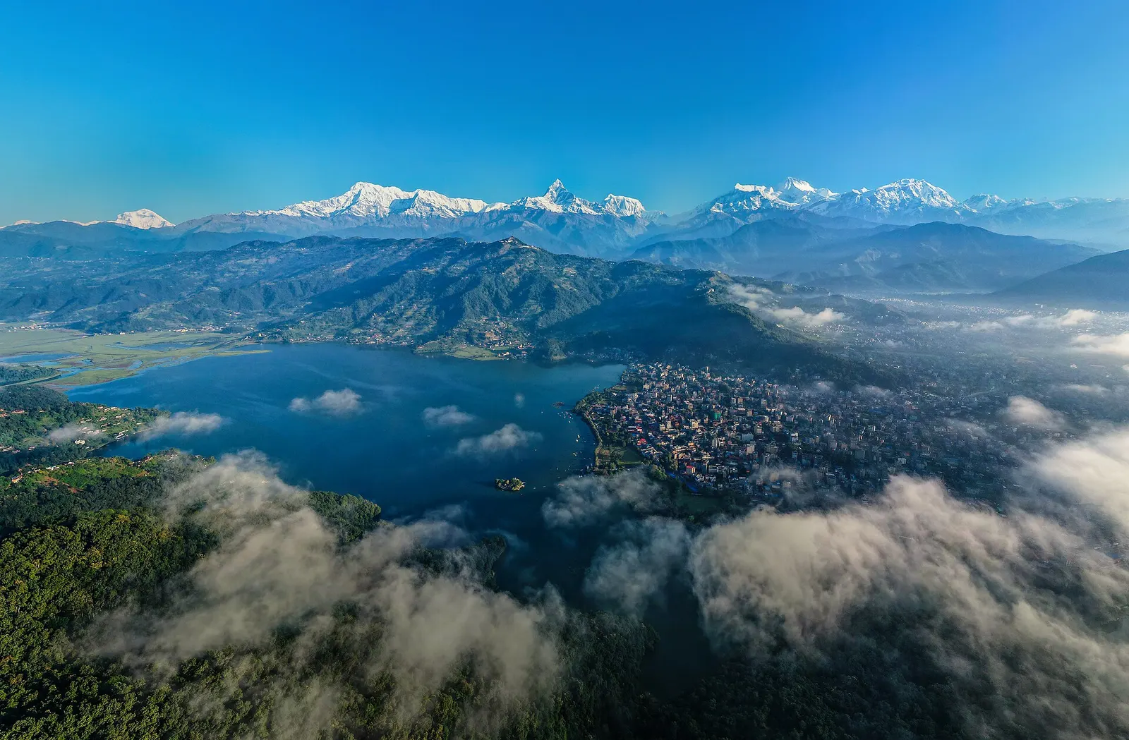
Pokhara
822 m, best Mar-May, Sep-Nov
पोखरा र अन्नपूर्ण
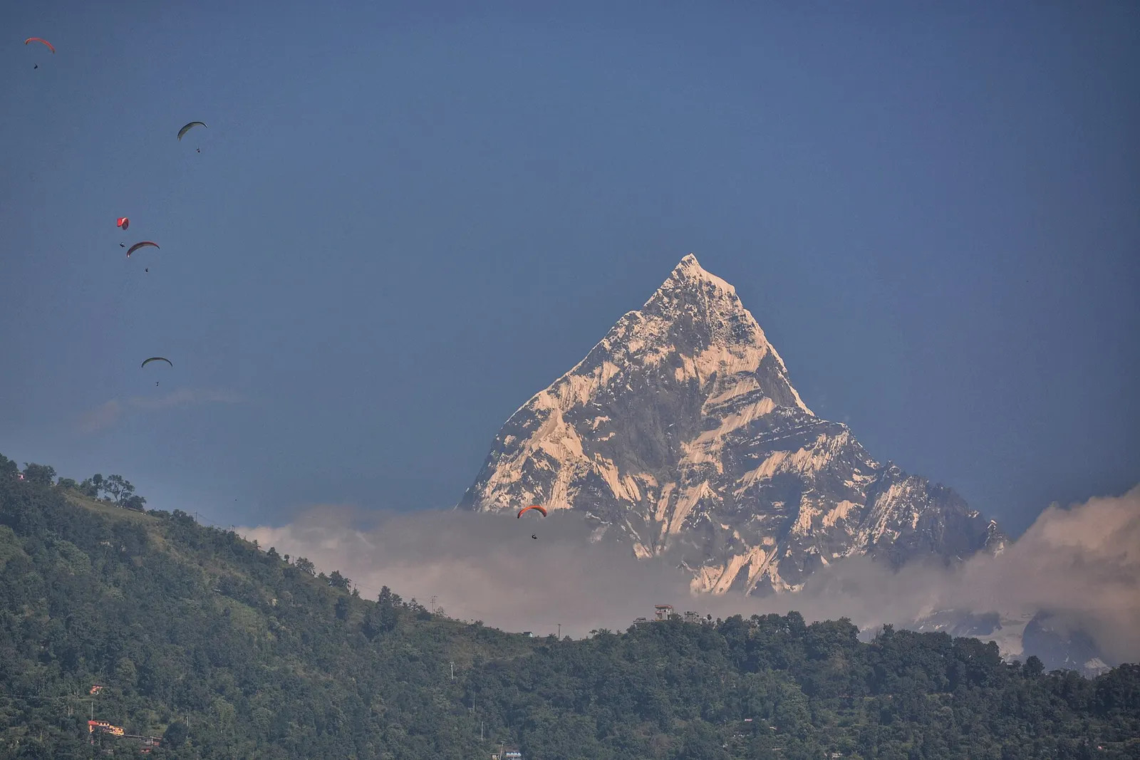
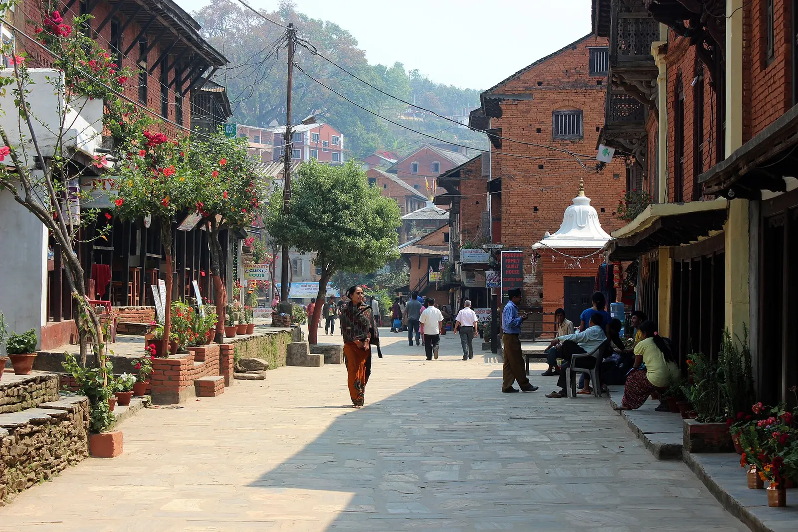
Lakeside Pokhara is the base for the Annapurna treks, from short walks to Poon Hill to the high Annapurna Circuit through Manang. Old hill towns such as Bandipur and Gorkha sit along the road from Kathmandu.
822 m, best Mar-May, Sep-Nov
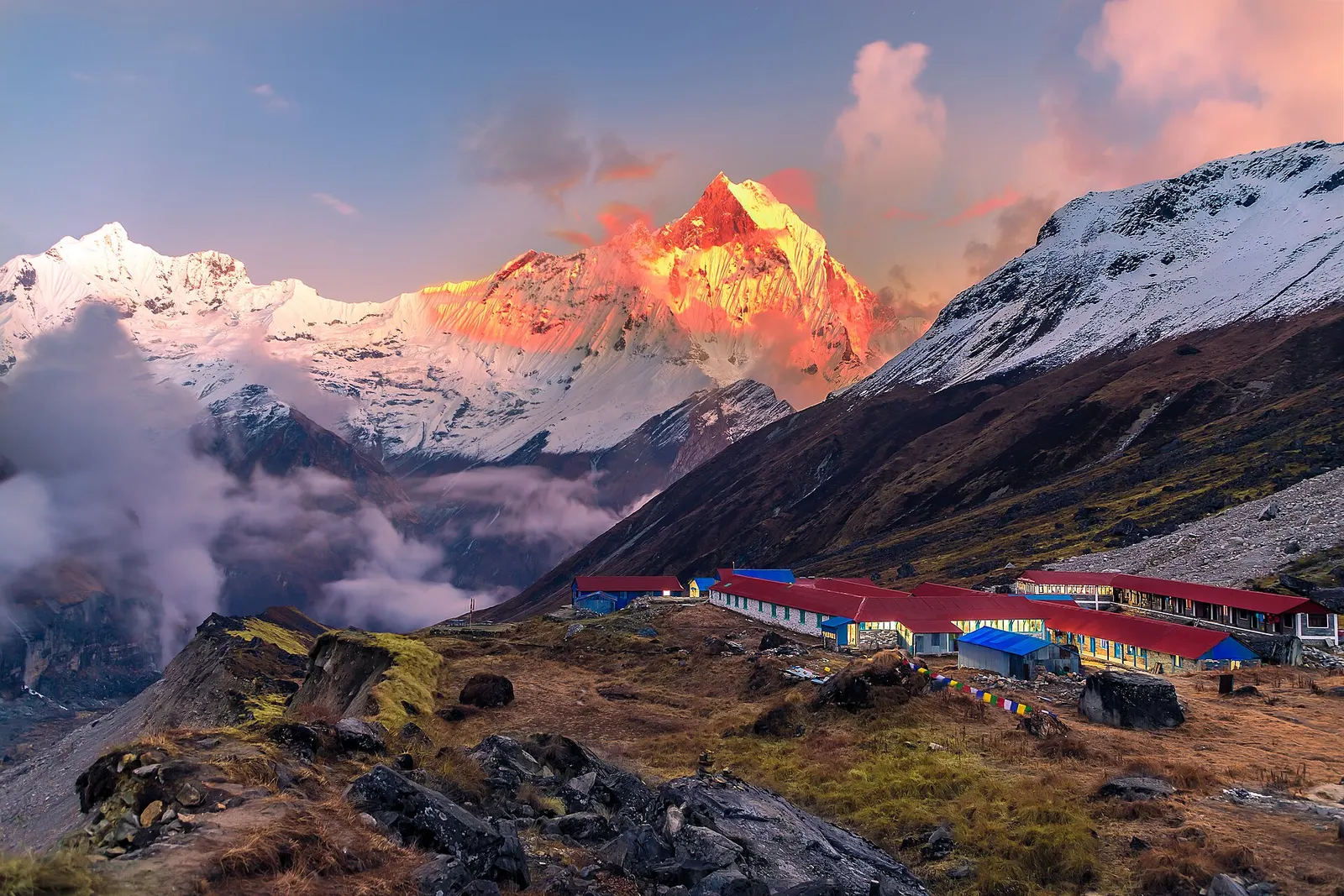
4,130 m, best Mar-Apr, Oct-Nov
1,030 m, best Oct-Apr
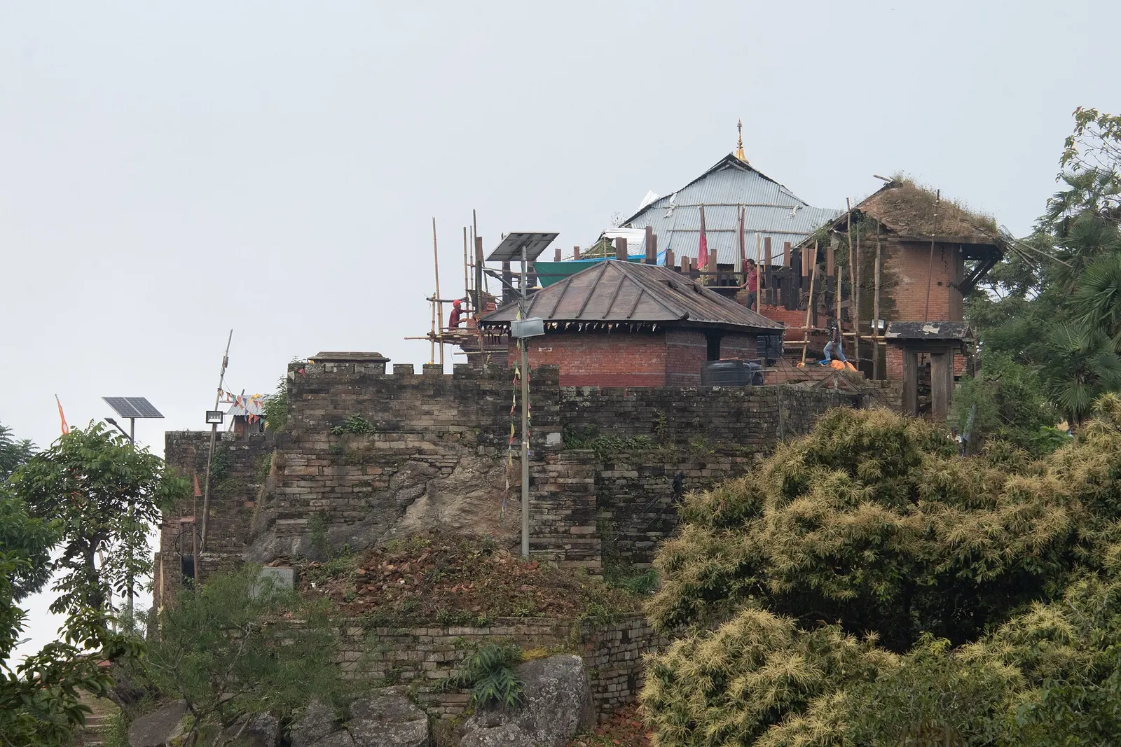
1,135 m, best Oct-Apr
best Feb-Apr, Oct-Dec
best Feb-Apr, Oct-Dec
best Feb-Apr, Oct-Dec
best Feb-Apr, Oct-Dec
760 m, best Feb-Apr, Oct-Dec
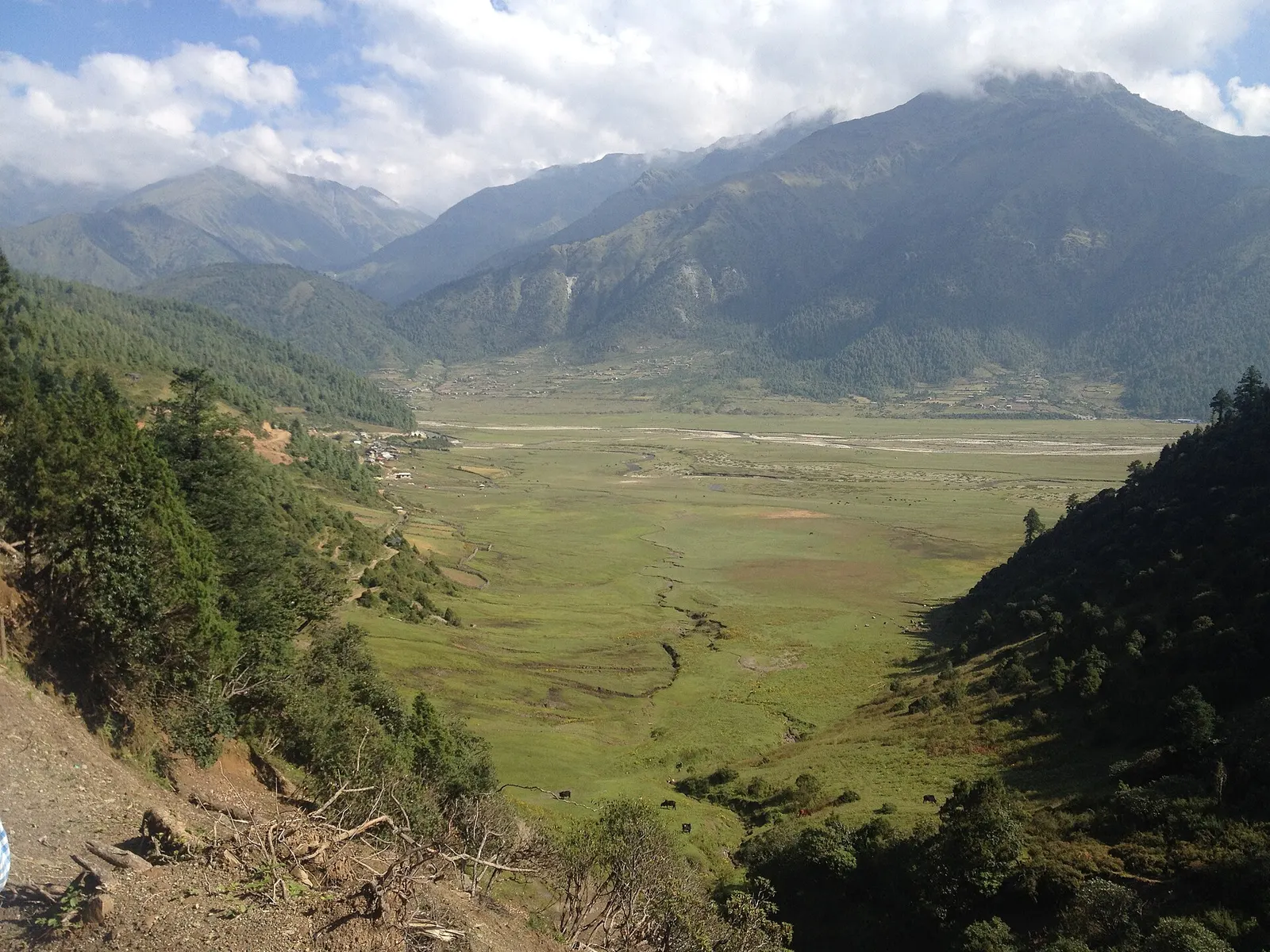
2,850 m, best Apr-May, Oct-Nov
best Feb-Apr, Oct-Dec
2,070 m, best Feb-Apr, Oct-Dec
best Feb-Apr, Oct-Dec
best Feb-Apr, Oct-Dec
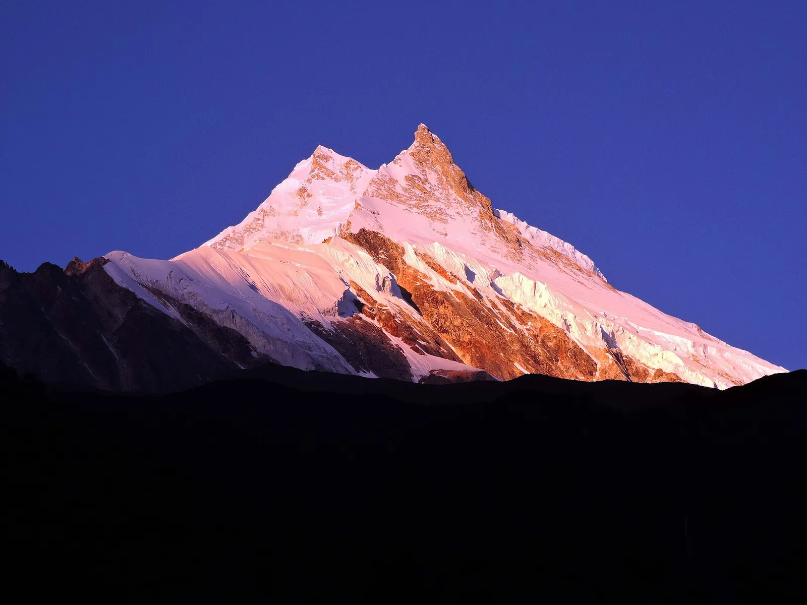
best Mar-May, Oct-Nov
best Feb-Apr, Oct-Dec
1,700 m, best Feb-Apr, Oct-Dec
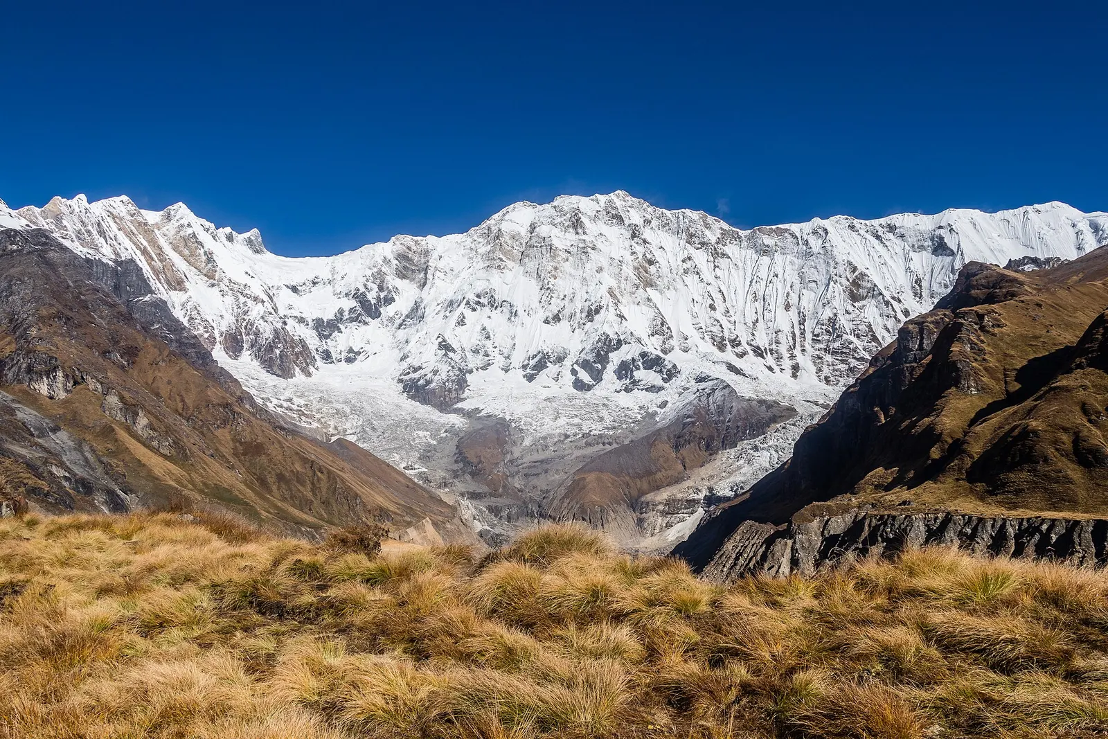
A teahouse trek from the road heads north of Pokhara through Gurung villages and the bamboo forest of the Modi Khola gorge into the Annapurna Sanctuary, to Annapurna Base Camp at about 4,130 m.
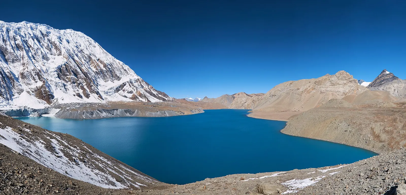
A teahouse journey around the Annapurna massif, from the green Marsyangdi valley through Manang and over the Thorong La (5,416 m) to Muktinath and the dry Kali Gandaki valley.
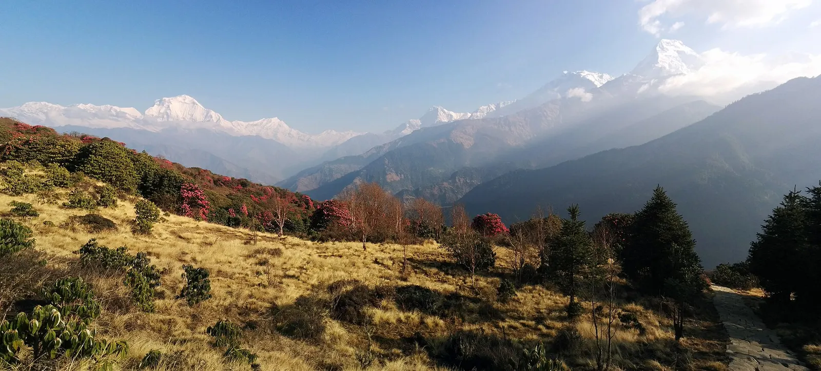
A short teahouse loop from Pokhara through Magar and Gurung villages and rhododendron forest to Ghorepani and the Poon Hill viewpoint (3,210 m), returning via Tadapani and Ghandruk.
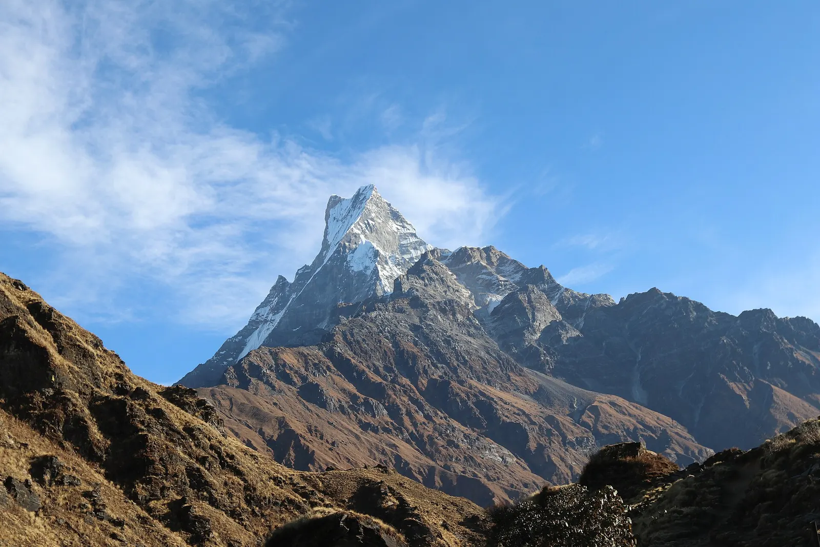
A ridge trek from Kande near Pokhara through rhododendron forest to the open crest below Machhapuchhre, with a day climb to Mardi Himal Base Camp at about 4,500 m.
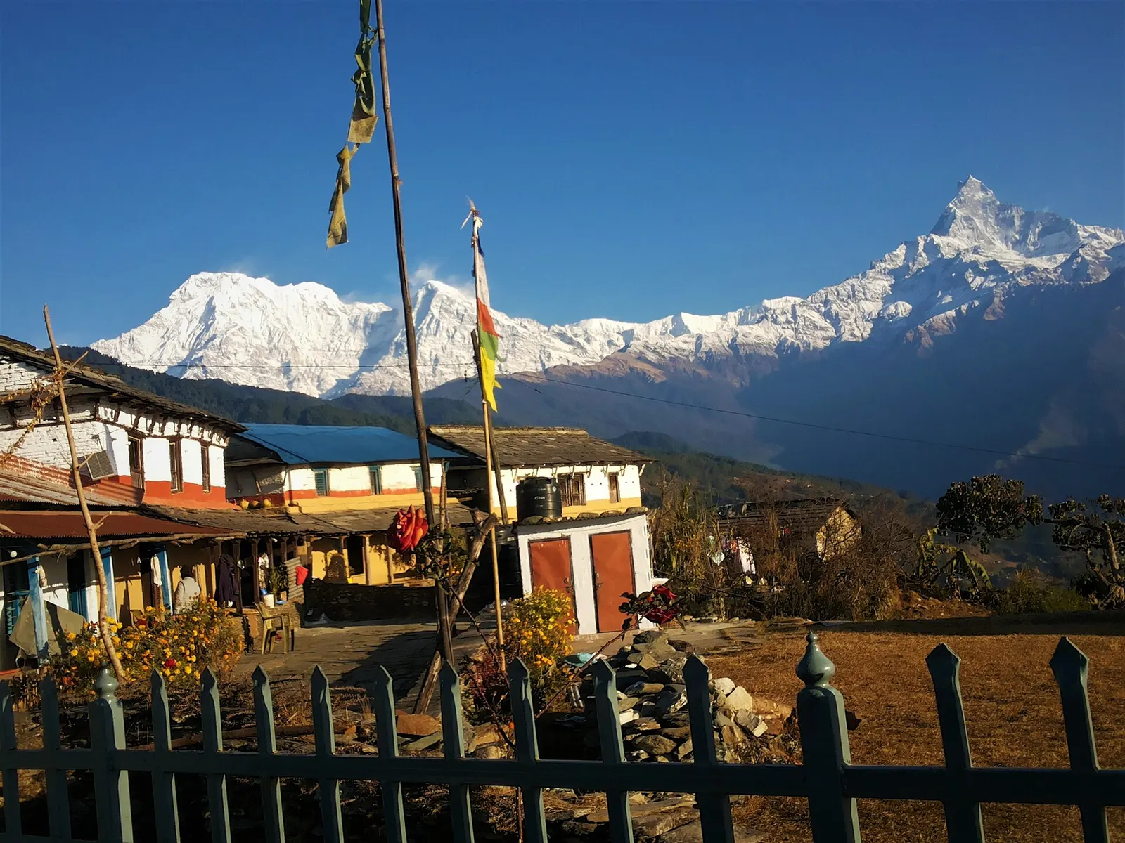
A one- or two-day walk from Kande near Pokhara to Australian Camp, a grassy viewpoint at about 2,060 m facing the Annapurnas and Machhapuchhre, returning via Dhampus and Phedi.
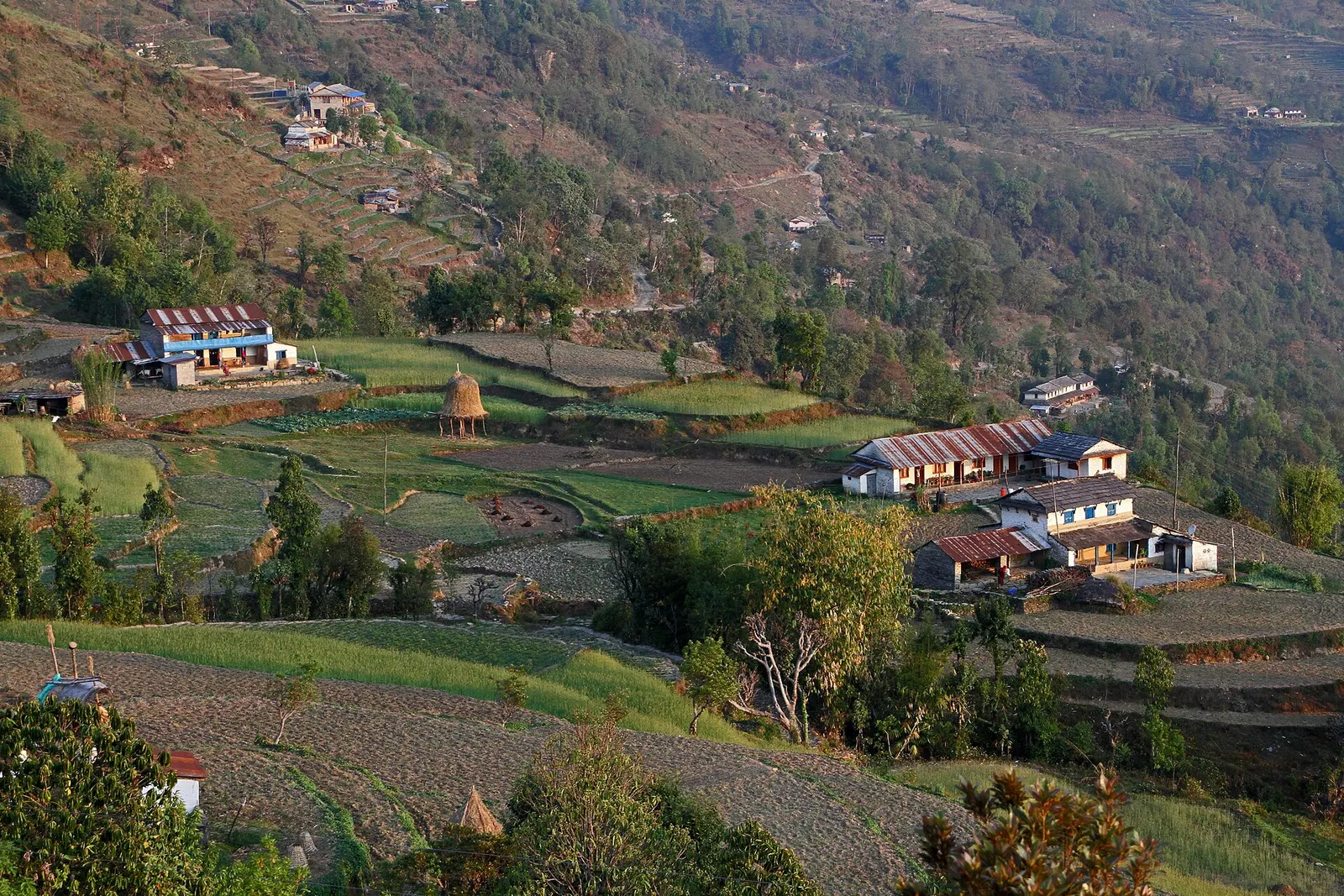
A short overnight walk from Phedi near Pokhara to the Gurung village of Dhampus (about 1,650 m), with homestays and sunrise views of Machhapuchhre and the Annapurnas.
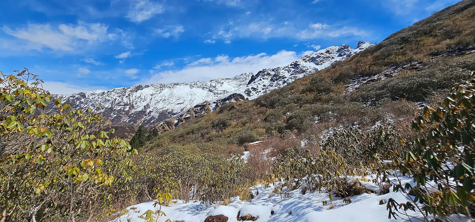
A quieter loop west of the Annapurna Sanctuary from Ghandruk via Tadapani, Dobato and Khopra Ridge (about 3,660 m) to Swanta, Ghorepani and Poon Hill, with an optional hike to Khayer Lake.
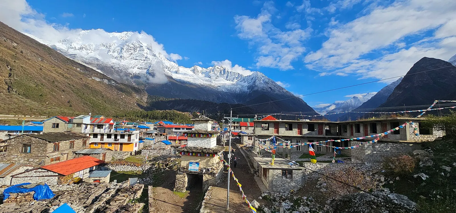
A restricted-area teahouse trek around Manaslu (8,163 m), up the Budhi Gandaki gorge through Gurung and Nubri villages, over the Larkya La (about 5,106 m) and down to Dharapani on the Annapurna Circuit.
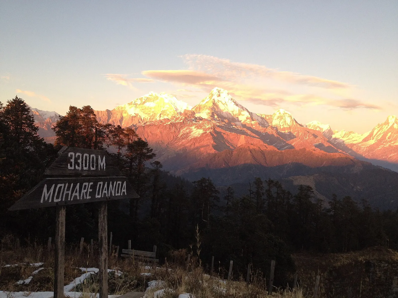
A short community-run trek from the Beni side through Magar villages to Mohare Danda (about 3,300 m), a hilltop with a community lodge facing Dhaulagiri and the Annapurnas.
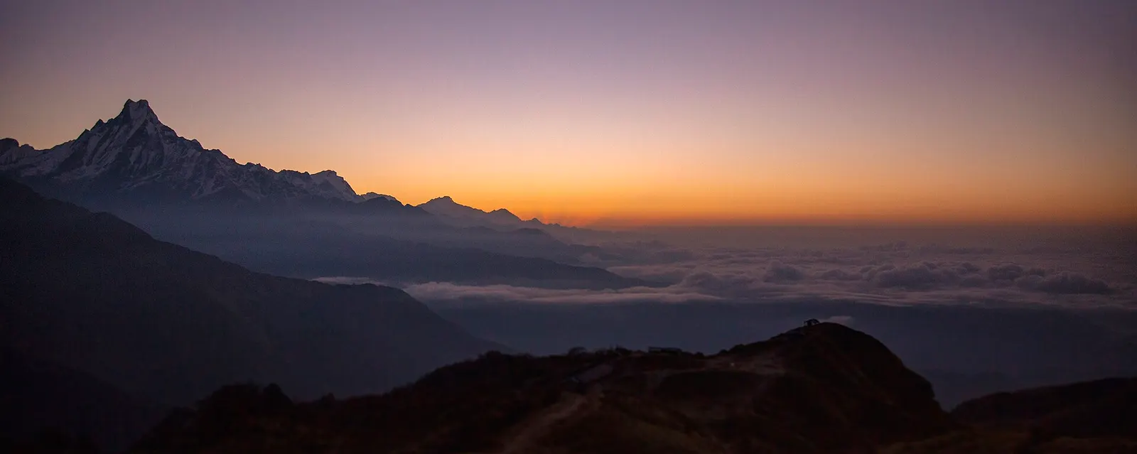
A four-day loop from Pokhara via Ghandruk, Tadapani and Dobato to the Muldai viewpoint (about 3,637 m) for sunrise, returning over Ghorepani and Poon Hill.
A restricted-area trek from Koto on the Annapurna Circuit into the high Tibetan Buddhist villages of Phu and Nar, crossing the Kang La (about 5,320 m) to Ngawal and Manang.
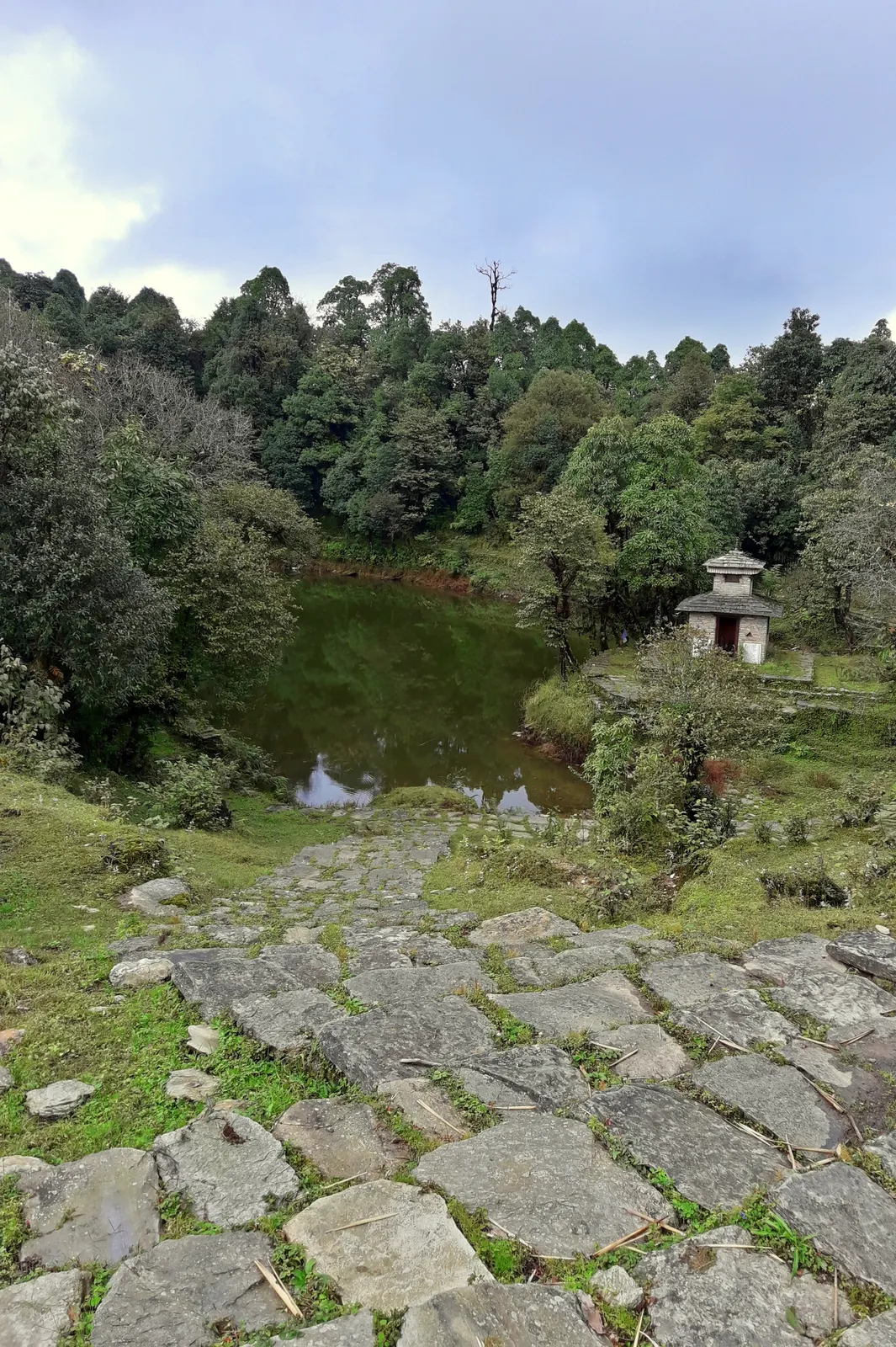
A two- to three-day walk from Pokhara to Panchase (about 2,517 m), a forested hill with a temple and pond west of Phewa Tal, with views of Dhaulagiri, the Annapurnas and Machhapuchhre.
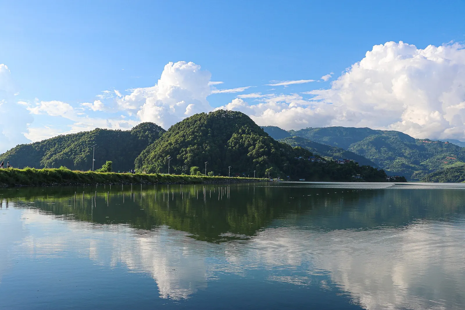
A low, short village walk in the hills east of Pokhara, via Kalikasthan, Syaklung and Chisapani to Begnas Lake, named after a 1980 trek by the then Prince Charles.
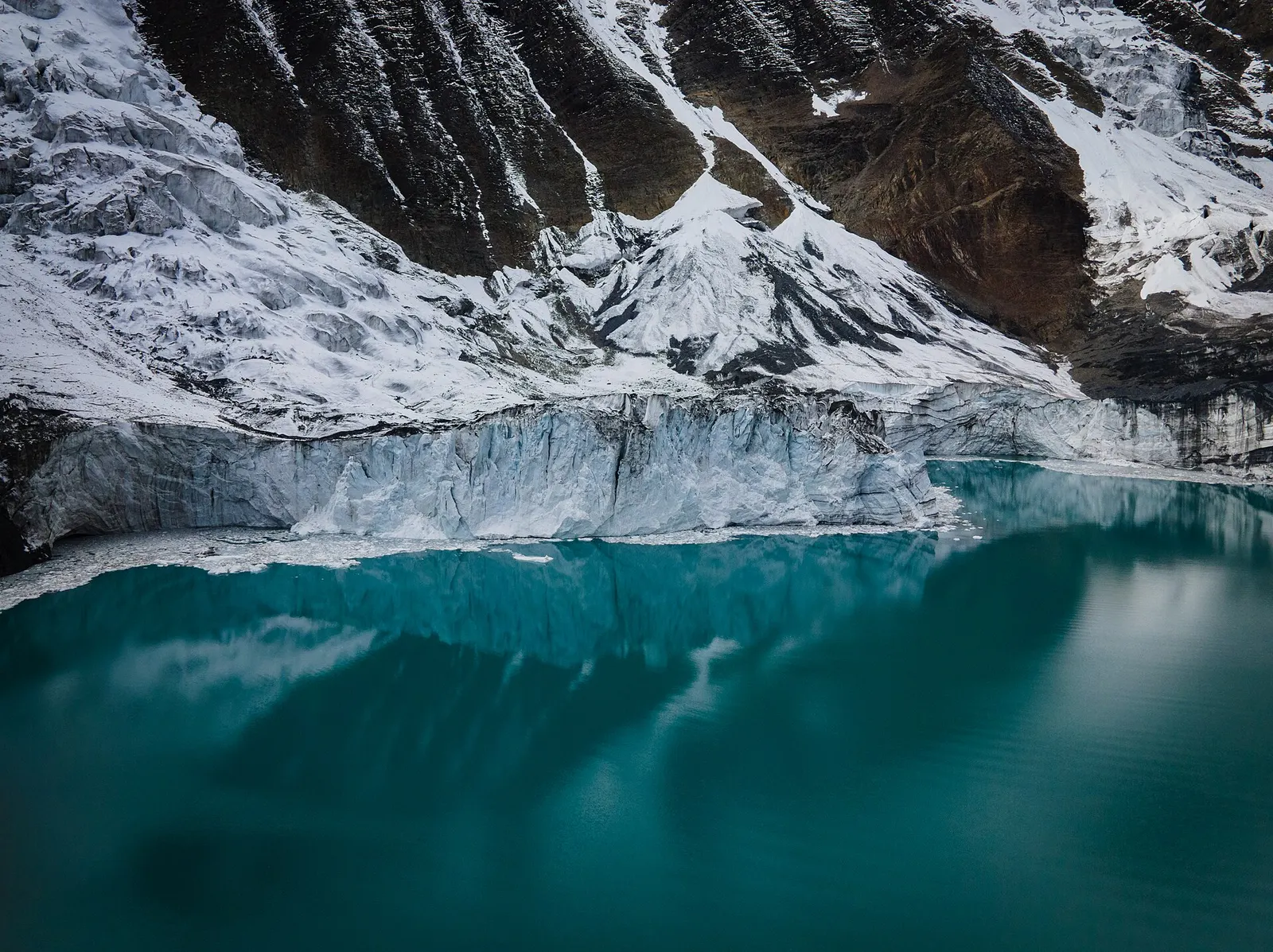
A side trek from Manang on the Annapurna Circuit to Tilicho Lake (about 4,919 m), a glacier-fed lake below Tilicho Peak, via Khangsar, Shree Kharka and Tilicho Base Camp.
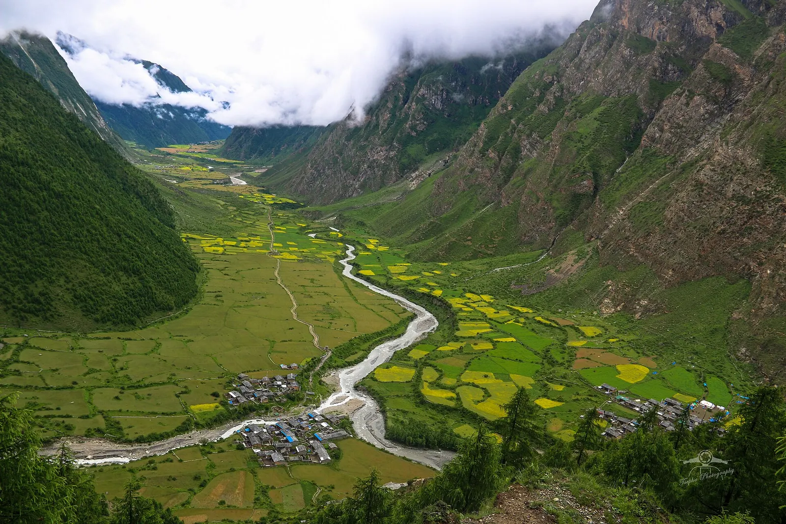
A restricted-area trek from the Budhi Gandaki into the Buddhist Tsum Valley in northern Gorkha, through Chumling, Chhokang Paro and Nile to Mu Gompa (about 3,700 m) near the Tibetan border. Often combined with the Manaslu Circuit.