Town or village · 760 m
Besisahar
Lamjung's district headquarters in the Marsyangdi valley and the traditional starting point of the Annapurna Circuit.
Pokhara & Annapurnaघलेगाउँ
A Gurung hill village in Lamjung known for community homestays and wide views of the Annapurna and Lamjung Himal ranges.
Ghale Gaun is a Gurung village on a high spur in the hills north-west of Besisahar in Lamjung district. Stone houses with slate roofs cluster along the slope, terraced fields fall away below, and on clear mornings the view to the north takes in Lamjung Himal, Annapurna II and neighbouring peaks, with Machhapuchhre and Manaslu also visible from nearby high points. The village is best known as one of Nepal's model homestay villages, where families host visitors in their own houses.
A stay typically involves Gurung meals, an evening cultural programme by the village mothers' group and young people, a morning walk to a viewpoint for sunrise, and time to wander the lanes, the small museum and the monastery. Many visitors combine Ghale Gaun with Bhujung, a large Gurung village across the valley, or with other nearby settlements such as Ghanpokhara, making a short trek of two to four days.
A road now reaches the village from Besisahar via Khudi, so it can be visited without walking, but the old trails through forest and fields remain a pleasant way to arrive. The community manages tourism collectively, and income is shared through the homestay committee.
The village takes its name from the Ghale, a Gurung clan associated in tradition with the early rulers of the area before the rise of the Shah kings of Lamjung. Gurung culture remains strong, with shamanic traditions, Buddhist practices, the rodhi system of youth gatherings, and dances performed at festivals and for guests.
Many Ghale Gaun families have a long history of service in the British and Indian Gurkha regiments, which shaped the village's economy and its outlook. Village tourism was developed with support from tourism organisations in the early 2000s, and Ghale Gaun has since become a reference point for community-based tourism in Nepal.
Homestay
Stay with a Gurung family, eat local food and join the evening cultural programme.
Sunrise viewpoint
Walk up to a viewpoint above the village at dawn for the mountain panorama.
Bhujung trek
Walk down and across the valley to Bhujung, a large Gurung village, as part of a short loop.
Forecast for 2,070 m. Conditions change fast in the mountains.
Weather data: MET Norway, licensed CC BY 4.0. A forecast, not a guarantee.
Feb-Apr, Oct-Dec
Community homestays allocated through the village committee, plus a few small lodges.
No partner stays are listed here yet. List a property.
Ghale Gaun is reached from Besisahar by a hill road via Khudi or on foot along the traditional trails.
Nearest hub: Besisahar
Permit required
Ghale Gaun lies within the Annapurna Conservation Area, so an ACAP permit is generally required.
Verify before travel: permit rules and fees change. Checked 2026-10-08 against Nepal Tourism Board.
What this place is typically exposed to, and when. These are seasonal patterns, not a report on conditions now.
Landslidesmoderate in a typical yearJun-Sep
The hill road to Ghale Gaun is unsealed in places and is affected by landslides and mud in the monsoon.
Coldlow in a typical yearDec-Feb
Nights at around 2,000 m are cold in midwinter and homestay rooms are not heated; bring warm clothing.
Check current conditions before you travel
Roads, trails, passes and flights change with the weather and with roadworks, and nothing on this page describes conditions today. Before you set off, check the Department of Hydrology and Meteorology for weather and flood warnings, the Nepal Disaster Risk Reduction Portal for incidents, and the local authority, police or your licensed operator for road, trail and flight status.
In the hills of Lamjung district north-west of Besisahar, within the Annapurna Conservation Area.
Yes, a road reaches the village from Besisahar via Khudi, though parts are rough; you can also walk.
You stay in a Gurung family house, eat home-cooked food and are usually invited to an evening cultural programme.
The village is in the Annapurna Conservation Area, so carry an ACAP permit.
Town or village · 760 m
Lamjung's district headquarters in the Marsyangdi valley and the traditional starting point of the Annapurna Circuit.
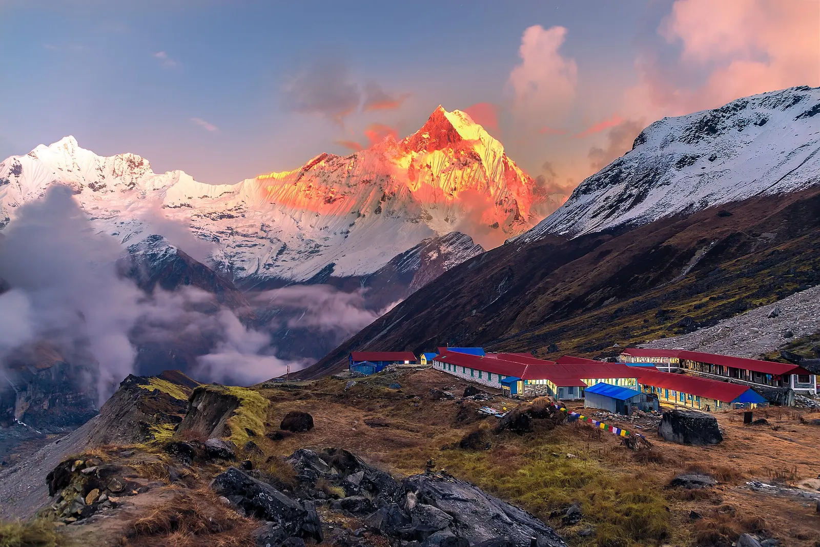
National park or conservation area
Nepal's largest protected area, from Gurung hill villages and rhododendron forest to the dry valleys behind the Annapurna range.
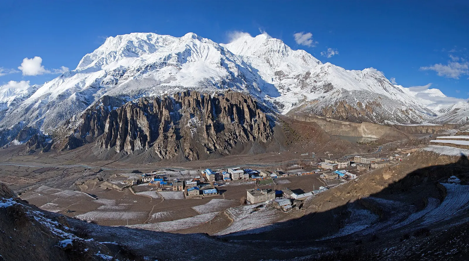
Town or village · 3,519 m
A high stone village in the upper Marsyangdi valley below Annapurna III and Gangapurna, where Circuit trekkers stop to acclimatise.
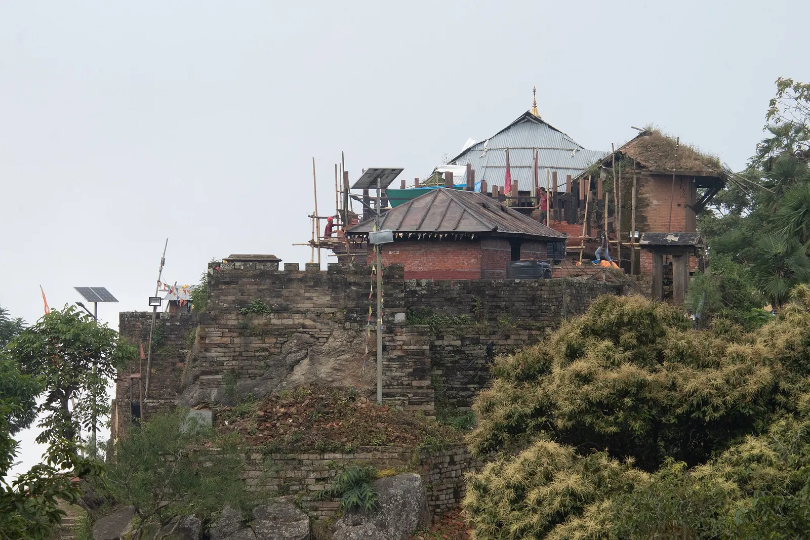
Temple, monastery or heritage site · 1,135 m
The hill town where the Shah kings ruled the Gorkha Kingdom and Prithvi Narayan Shah began the unification of Nepal.