Town or village · 2,070 m
Ghale Gaun
A Gurung hill village in Lamjung known for community homestays and wide views of the Annapurna and Lamjung Himal ranges.
Pokhara & Annapurnaबेसीशहर
Lamjung's district headquarters in the Marsyangdi valley and the traditional starting point of the Annapurna Circuit.
Besisahar is the headquarters of Lamjung district, strung along the east bank of the Marsyangdi river where the valley begins to narrow towards the Himalaya. For decades it has been the place where trekkers begin the Annapurna Circuit, and the town is built around that role, with lodges, gear shops, permit checks and jeep stands for the road up the valley. The surrounding hills are green and terraced, and on clear days the snow of Lamjung Himal and the eastern Annapurnas can be glimpsed to the north.
Since the road up the Marsyangdi was extended towards Chame and Manang, many trekkers now take a jeep from Besisahar and start walking higher up the valley. Others still walk from here or from Bhulbhule and Ngadi to enjoy the lower villages and the gradual change in landscape. Either way, Besisahar is where most people spend their first night in the mountains and organise the last details of the trek.
Beyond its trekking role, Besisahar is a working bazaar for the people of Lamjung, with offices, schools, markets and hydropower projects along the river. It is also the access point for the old Lamjung Durbar on the ridge above town and for Gurung homestay villages such as Ghale Gaun and Bhujung.
Lamjung was the seat of a hill kingdom before the unification of Nepal, and its ruling family was closely related to the Shah dynasty of neighbouring Gorkha. The old palace complex of Lamjung Durbar stands on a ridge above Besisahar at Gaunshahar and can be visited on a steep walk or by road.
The Lamjung hills are home to large Gurung communities, as well as Magar, Brahmin-Chhetri and Dalit families, and many local households have members who served in the Gurkha regiments. Gurung culture, including the communal rodhi tradition and festivals such as Lhosar, is strong in the villages around the town.
Prepare for the circuit
Check permits, buy last supplies and arrange a jeep or start walking up the Marsyangdi valley.
Lamjung Durbar
Walk or drive up to the old palace complex on the ridge above town for views and a sense of Lamjung's royal past.
Gurung villages
Use Besisahar as a base for visiting Ghale Gaun, Bhujung and other Gurung settlements in the hills.
Forecast for 760 m. Conditions change fast in the mountains.
Weather data: MET Norway, licensed CC BY 4.0. A forecast, not a guarantee.
Feb-Apr, Oct-Dec
Many trekker lodges and small hotels along the main road, used to early starts.
No partner stays are listed here yet. List a property.
Besisahar is reached by road from Dumre on the Prithvi Highway; buses run directly from Kathmandu and Pokhara.
Nearest hub: Pokhara
Permit required
Besisahar itself needs no permit, but trekkers continuing up the valley need an Annapurna Conservation Area Permit, and a trekking registration card may also be required.
Verify before travel: permit rules and fees change. Checked 2026-10-08 against Nepal Tourism Board.
What this place is typically exposed to, and when. These are seasonal patterns, not a report on conditions now.
Landslidesmoderate in a typical yearJun-Sep
The Marsyangdi valley road above and below Besisahar is cut by landslides in most monsoon seasons.
Floodingmoderate in a typical yearJul-Aug
Monsoon swells the Marsyangdi and its side streams, and flash floods can damage roads and trails.
Check current conditions before you travel
Roads, trails, passes and flights change with the weather and with roadworks, and nothing on this page describes conditions today. Before you set off, check the Department of Hydrology and Meteorology for weather and flood warnings, the Nepal Disaster Risk Reduction Portal for incidents, and the local authority, police or your licensed operator for road, trail and flight status.
Traditionally yes; many trekkers now take a jeep from Besisahar and start walking higher up the valley.
Take a bus along the Prithvi Highway to Dumre and on up the road to Besisahar; direct buses run, usually taking most of a day.
Not for the town itself, but an ACAP permit is needed for the trek beyond.
Lamjung Durbar above the town and Gurung villages such as Ghale Gaun and Bhujung.
Town or village · 2,070 m
A Gurung hill village in Lamjung known for community homestays and wide views of the Annapurna and Lamjung Himal ranges.
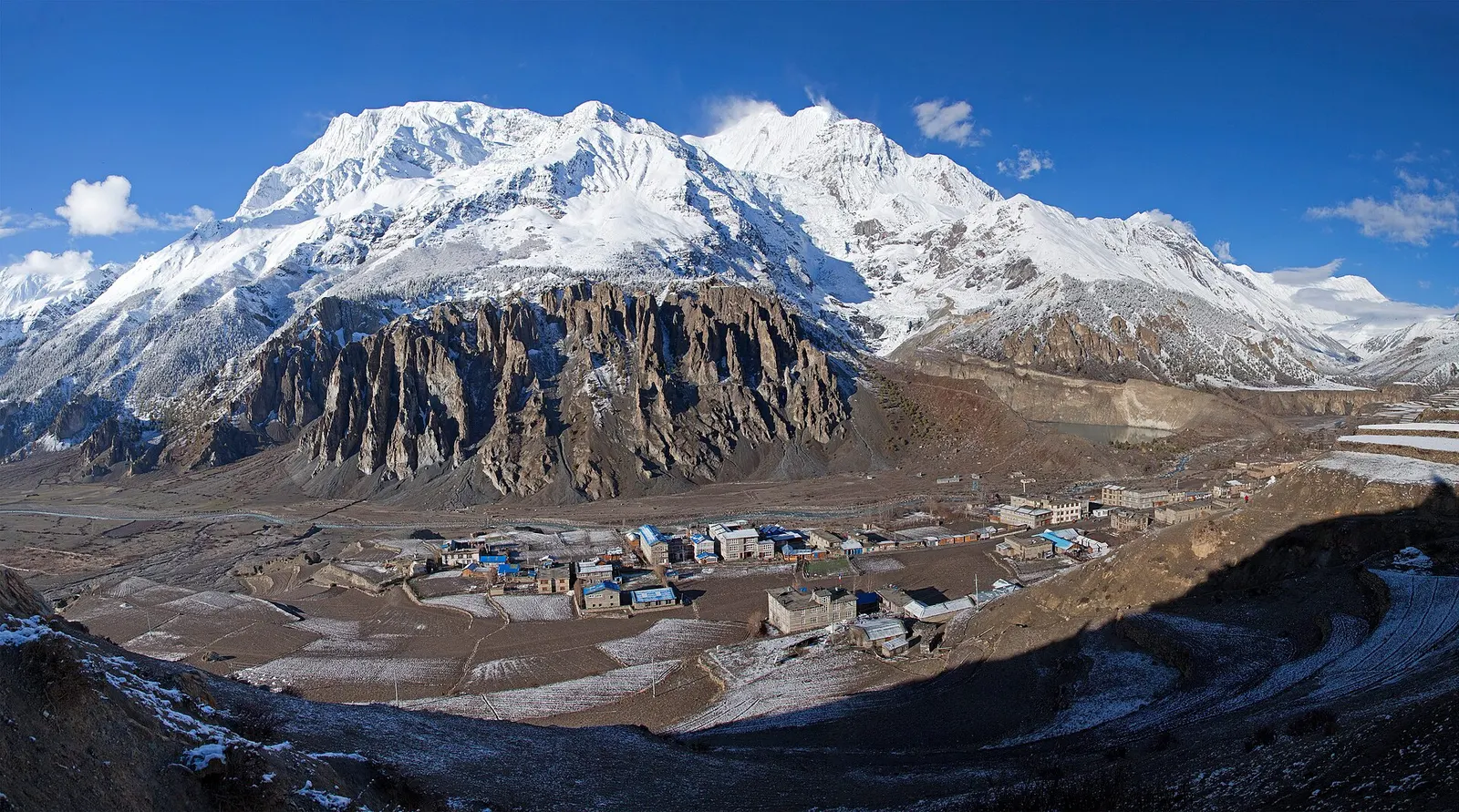
Town or village · 3,519 m
A high stone village in the upper Marsyangdi valley below Annapurna III and Gangapurna, where Circuit trekkers stop to acclimatise.
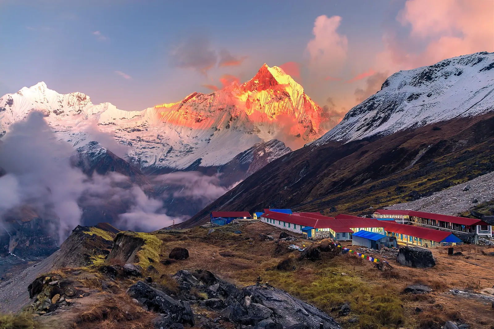
National park or conservation area
Nepal's largest protected area, from Gurung hill villages and rhododendron forest to the dry valleys behind the Annapurna range.
Trek stop · 2,670 m
The district headquarters of Manang, a road-head town in fir and pine forest where most Annapurna Circuit trekkers spend a night.