

Valley or region · 4,150 m
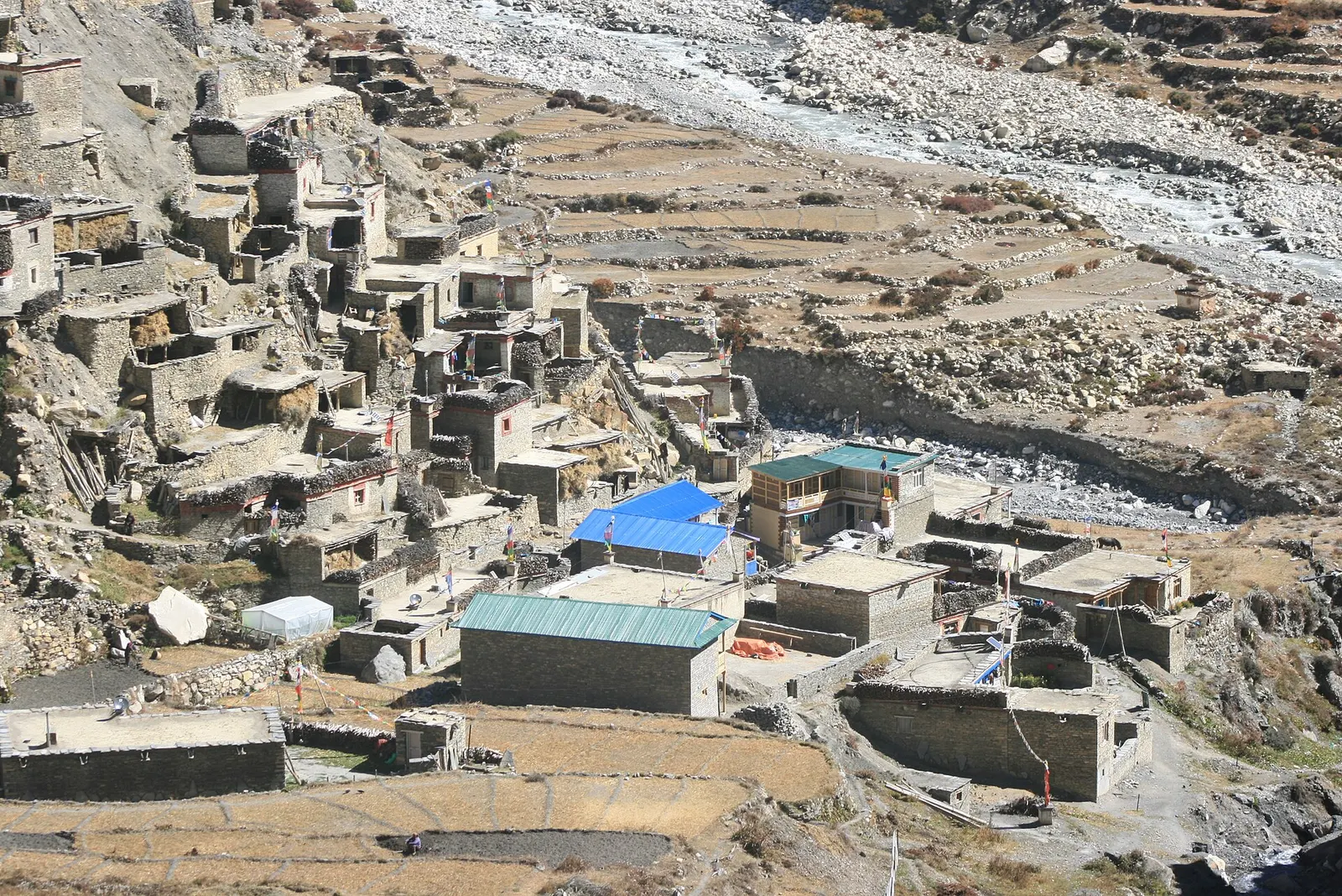
Nar Phu Valley
A restricted high valley north of the Annapurna Circuit, with two old Tibetan Buddhist villages, Nar and Phu, reached through a narrow gorge from Koto.
Annapurna Regionमनाङ
A high stone village on the Annapurna Circuit, used by trekkers to acclimatise.
This record covers Manang village and the upper Marsyangdi valley around it on the Annapurna Circuit; Manang is also the name of the whole district.
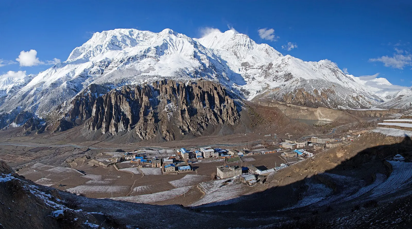
Manang is the main village of the upper Marsyangdi valley, at about 3,520 m on the north side of the Annapurna range, and the busiest stop on the eastern half of the Annapurna Circuit. Its flat-roofed stone houses face a wall of peaks across the valley: Annapurna II, III and IV, Gangapurna with its glacier and milky lake, and Tilicho Peak to the west. The valley lies in the rain shadow of the Annapurnas, so it is drier and sunnier than the forested valleys below.
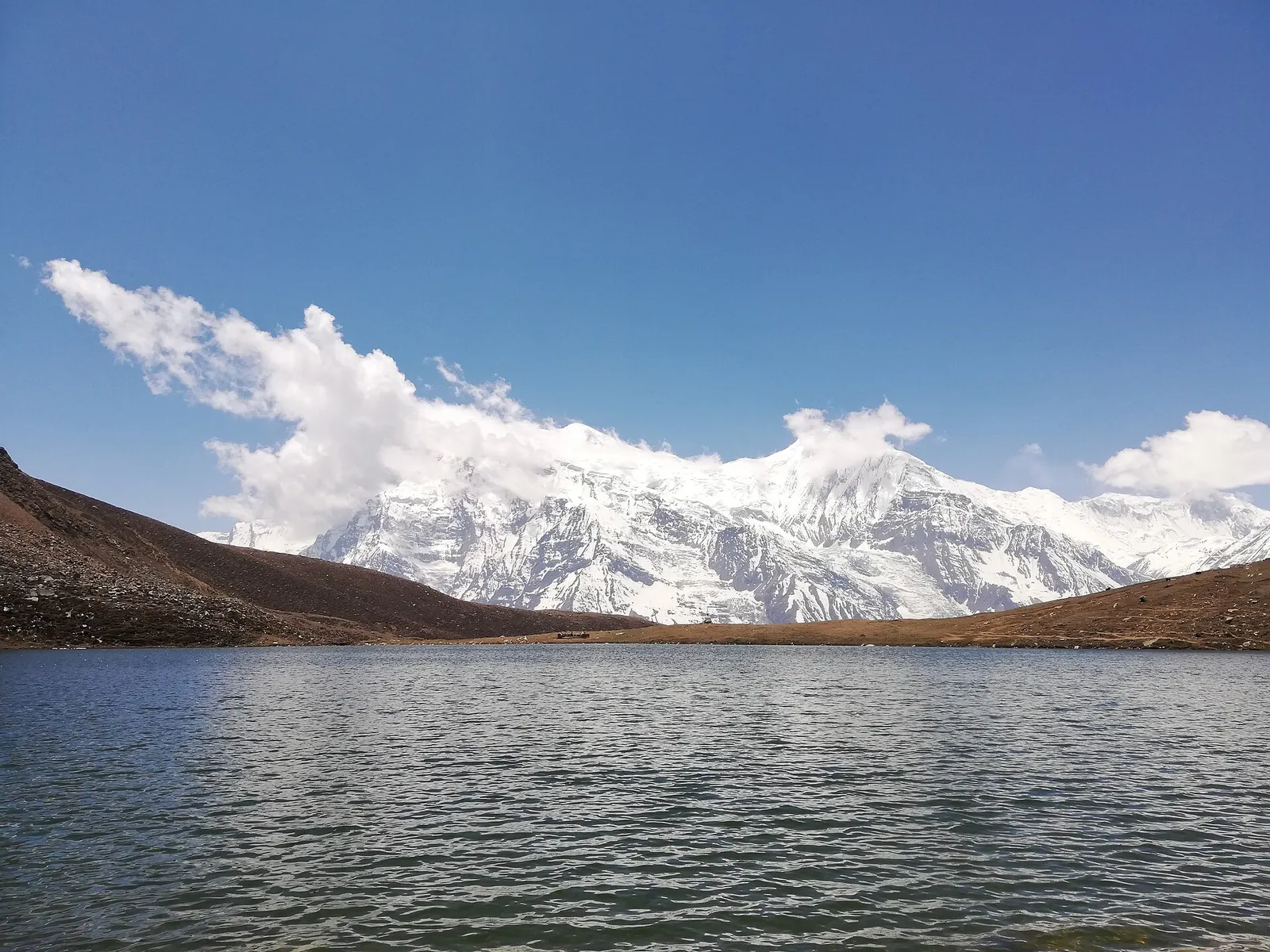
Most trekkers spend two nights here. The usual rest-day walks climb to Ice Lake (Kicho Tal, about 4,620 m) or the Gangapurna glacier viewpoint and return to sleep in the village, following the climb-high, sleep-low pattern. The village has bakeries, lodges, shops and a seasonal aid post that gives talks on altitude illness. From Manang the Circuit continues up to Yak Kharka, Thorong Phedi and the 5,416 m Thorong La.
Places grouped under Manang include Tilicho Lake, the high glacial lake reached in a two to three day side trip west of the village; Koto, the village lower down the Marsyangdi where the trail to the restricted Nar Phu valley turns off; and the Nar Phu valley itself, with its remote Tibetan-style villages.
The story
Above Braga is a cave where the Tibetan yogi and poet Milarepa is said to have meditated, living on nettles until his skin turned green. Herders still point out handprints in the rock.
Valley or region · 4,150 m
A restricted high valley north of the Annapurna Circuit, with two old Tibetan Buddhist villages, Nar and Phu, reached through a narrow gorge from Koto.
Lake · 4,919 m
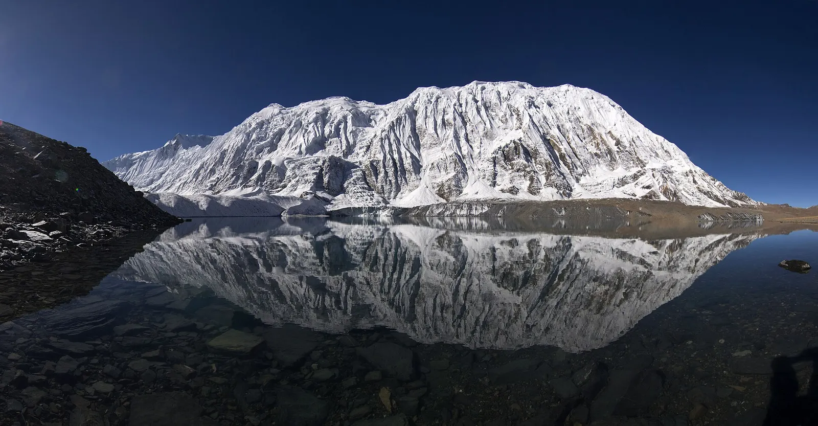
A glacial lake at about 4,920 m beneath the ice walls of Tilicho Peak, reached on a demanding side trip from Manang.
Trek stop · 2,670 m
The district headquarters of Manang, a road-head town in fir and pine forest where most Annapurna Circuit trekkers spend a night.
Trek stop · 1,900 m
A Marsyangdi valley village where the Manaslu Circuit joins the Annapurna Circuit road.
Trek stop · 2,600 m
A small village in pine and fir forest on the Annapurna Circuit, just below Chame, and the start of the trail into the Nar Phu valley.
Trek stop · 3,660 m
A stone village high on the north side of the Manang valley, on the upper Annapurna Circuit route and at the foot of the Kang La from Nar.
Trek stop · 3,300 m
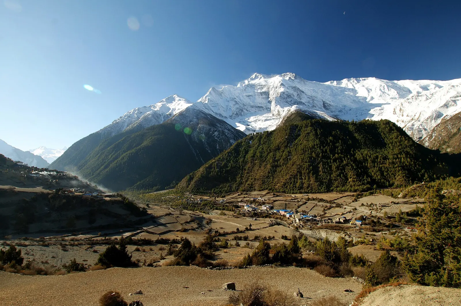
Twin villages in the upper Marsyangdi, where the old stone houses of Upper Pisang look across to Annapurna II.
Trek stop · 4,070 m
A small lodge stop in high pasture west of Manang, on the trail to Tilicho Base Camp and Tilicho Lake.
Trek stop · 4,540 m
The lodges at the foot of the Thorong La, where Annapurna Circuit trekkers sleep before the pre-dawn climb to the pass.
Trek stop · 4,150 m
A lodge stop below the moraine of Tilicho Peak, the starting point for the steep climb to Tilicho Lake.
Trek stop · 4,018 m
A cluster of lodges in high yak pasture above Manang, the usual first stop on the climb towards Thorong La.
The people of the upper Manang valley call themselves Nyeshangte and are of Tibetan heritage; their language is related to Tibetan, and Tibetan Buddhism shapes village life, with gompas, chortens and prayer walls throughout the valley. The monastery at Braga, a short walk east of Manang, is among the oldest in the area. Historically, Manang traders were granted special trading privileges by the Shah kings, and they travelled widely across South and South-East Asia, a tradition that brought considerable wealth to some families.
A cave above Braga is associated with the Tibetan poet-saint Milarepa, who in legend meditated in the region and lived on nettles. Annual festivals include horse races and archery contests in some villages. A small airstrip east of the village has had no commercial flights since 2012, and a road now reaches the valley from Besisahar.
Ice Lake acclimatisation hikeFree
A long day climbing about 1,000 m above Braga to the Ice Lake and back down to sleep in Manang. A guide is advised.
Tilicho Lake side tripWith a guide
Adds two to three days to the Annapurna Circuit, via Shree Kharka and Tilicho Base Camp. Plan it with your guide.
Ice Lake day hike
Climb about 1,000 m from Braga to Ice Lake and return to Manang to sleep; a long acclimatisation day.
Gangapurna Lake and glacier viewpoint
Short walk across the river to the glacier lake and a viewpoint above it.
Braga monastery
Visit the old gompa in Braga, about 30 minutes east of Manang; ask before entering and photographing.
Forecast for 3,519 m. Conditions change fast in the mountains.
Weather data: MET Norway, licensed CC BY 4.0. A forecast, not a guarantee.
Mar-May, Oct-Nov
Lodges in Manang village, Braga and the nearby villages.
Many trekking lodges in Manang and nearby Braga, with bakeries and cafes; standards are good for the altitude.
No partner stays are listed here yet. List a property.
Yak steak, buckwheat pancakes and bakeries with apple pie and cinnamon rolls at 3,500 m.
Travel to Besisahar by road, then trek up the Marsyangdi valley or take a jeep on the rough road via Chame. Arriving from low altitude by jeep in one day is not advised because of the rapid height gain.
Nearest hub: Pokhara
Permit required
Manang is inside the Annapurna Conservation Area, so an ACAP permit is required. The Nar Phu valley, reached from Koto, is a restricted area with a separate permit.
Verify before travel: permit rules and fees change. Checked 2026-10-06 against Annapurna Conservation Area Project, NTNC.
On the Annapurna Circuit, Tilicho Lake trek, Nar Phu and Annapurna Circuit.
Safety
This place is above 3,000 m. Altitude illness can affect anyone, whatever their fitness. Gain height slowly, know the symptoms, never go higher with symptoms, and descend if they get worse. This is general information, not medical advice: talk to a doctor before you travel and buy insurance that covers helicopter evacuation at the altitudes you plan to reach. In the main seasons the Himalayan Rescue Association runs an aid post in Manang that gives talks on altitude illness; it is worth attending.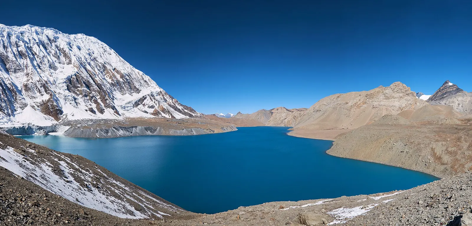
A teahouse journey around the Annapurna massif, from the green Marsyangdi valley through Manang and over the Thorong La (5,416 m) to Muktinath and the dry Kali Gandaki valley.
A restricted-area trek from Koto on the Annapurna Circuit into the high Tibetan Buddhist villages of Phu and Nar, crossing the Kang La (about 5,320 m) to Ngawal and Manang.
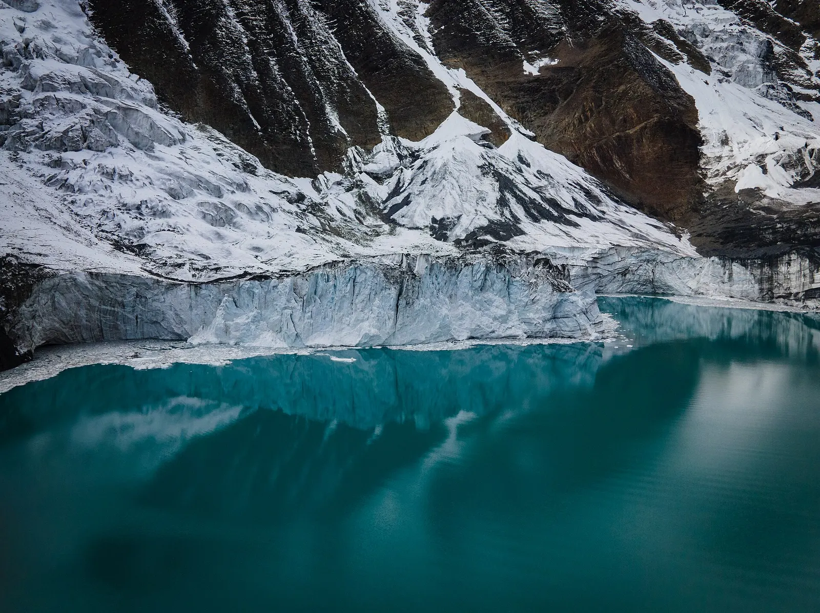
A side trek from Manang on the Annapurna Circuit to Tilicho Lake (about 4,919 m), a glacier-fed lake below Tilicho Peak, via Khangsar, Shree Kharka and Tilicho Base Camp.
Manang is about 3,520 m and the route climbs to the 5,416 m Thorong La within three days; a rest day with a higher walk helps the body adjust.
Travel by road to Besisahar, then trek up the Marsyangdi valley over 5-8 days or take a jeep via Chame, ideally breaking the journey to acclimatise.
Yes, an ACAP permit; check the current TIMS and guide rules. Nar Phu needs a separate restricted-area permit.
Usually 2-3 extra days via Khangsar, Shree Kharka and Tilicho Base Camp, rejoining the Circuit at Yak Kharka.
Two to three extra days from Manang, depending on whether you rejoin the circuit via Yak Kharka.
Trek stop · 4,130 m
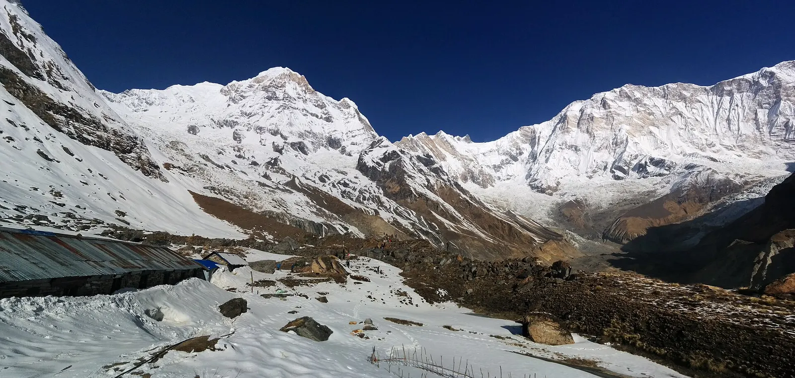
Lodges at about 4,130 m in the glacial basin of the Annapurna Sanctuary, below the south face of Annapurna I.
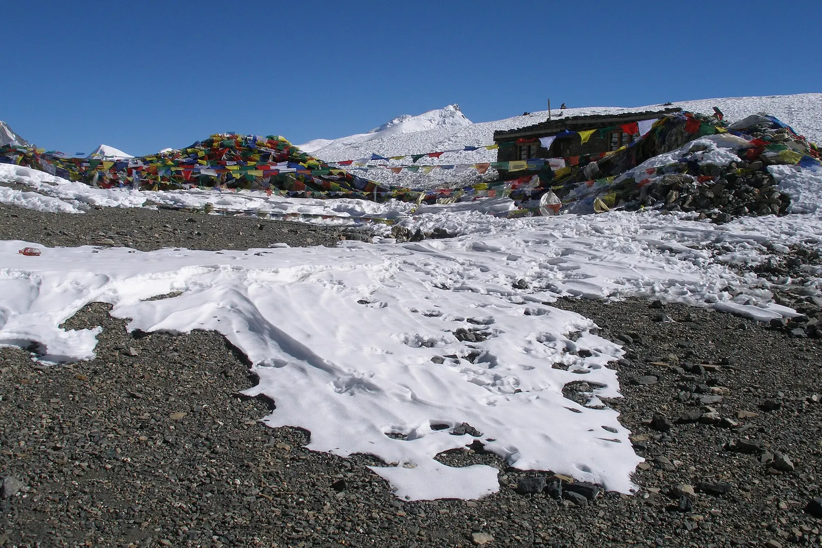
Mountain pass · 5,416 m
The 5,416 m pass between Manang and Muktinath, the high point of the Annapurna Circuit.
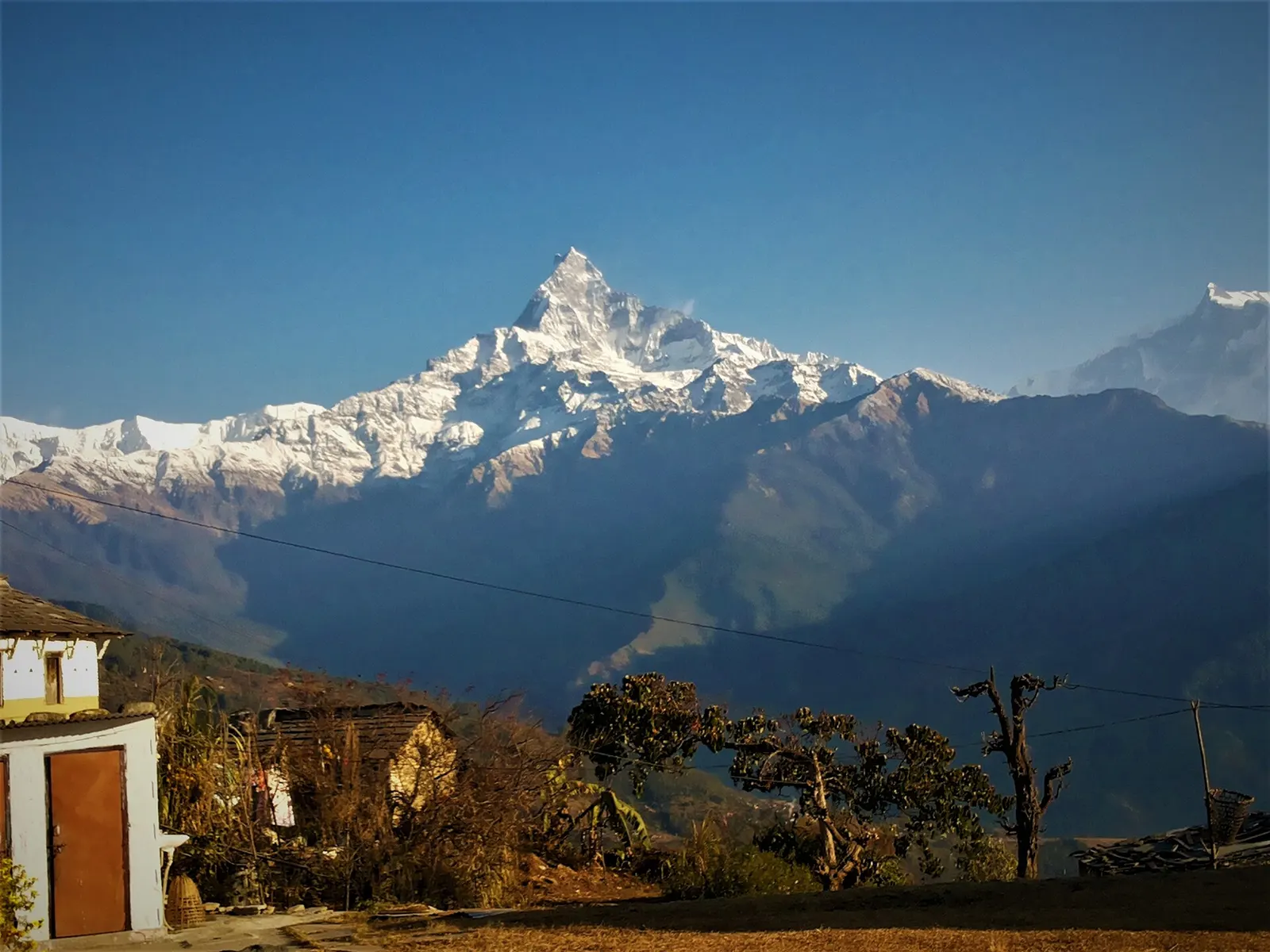
Trek stop · 2,060 m
A grassy clearing at about 2,060 m above Kande with a wide view of the Annapurna range and Machhapuchhre, an easy walk from the road.
Trek stop · 2,310 m
A group of lodges in the bamboo forest of the Modi Khola gorge, the first overnight stop above Chhomrong on the way to Annapurna Base Camp.
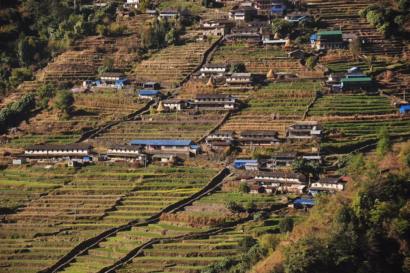
Trek stop · 2,170 m
The last permanent Gurung village before the Annapurna Sanctuary, built on a steep staircase facing Annapurna South and Machhapuchhre.
Trek stop · 3,200 m
The last lodges in the Modi Khola gorge before Machhapuchhre Base Camp, at about 3,200 m.
Trek stop · 1,650 m
A Gurung hill village above Phedi with views of Machhapuchhre and the Annapurnas, close to Pokhara.
Trek stop · 3,420 m
A small high lodge stop on the ridge between Tadapani and Khopra, the base for sunrise at the Muldai viewpoint.
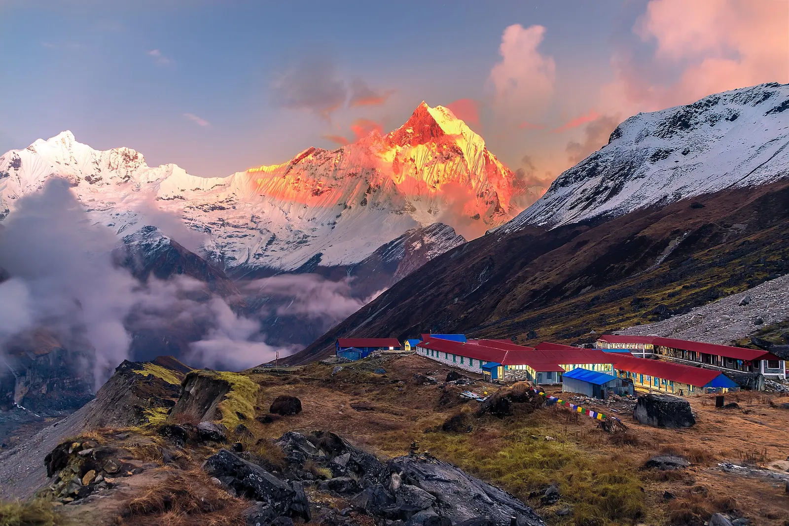
National park or conservation area
Nepal's largest protected area, from Gurung hill villages and rhododendron forest to the dry valleys behind the Annapurna range.
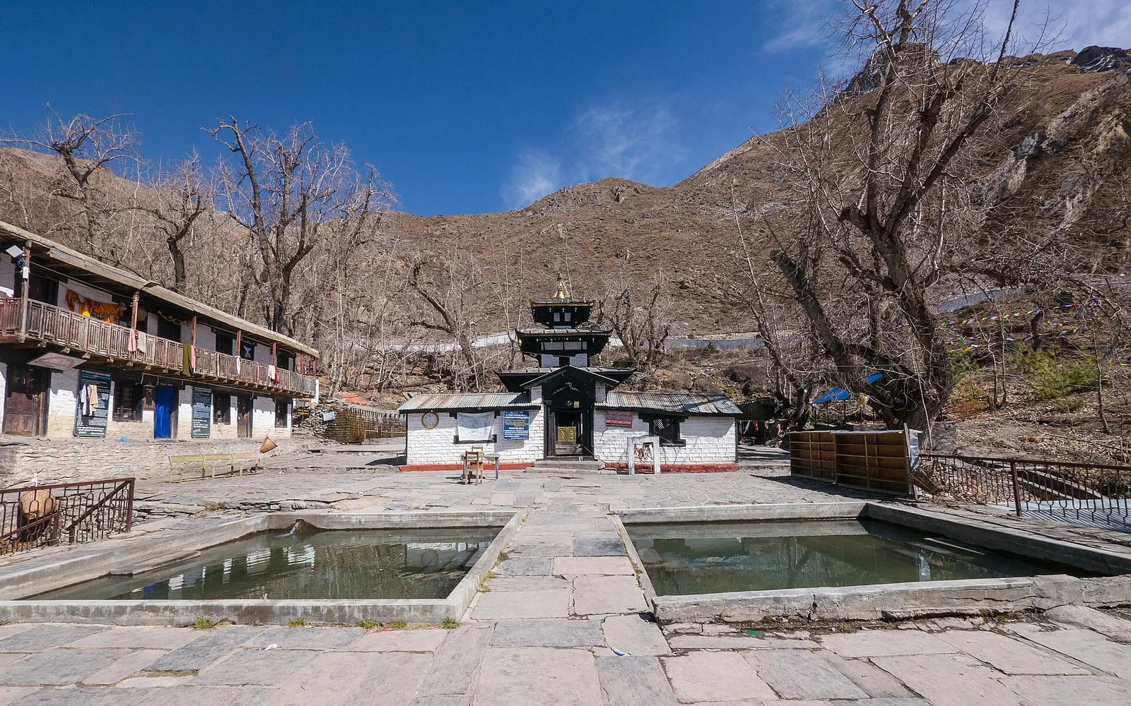
Temple, monastery or heritage site · 3,762 m
A high temple complex below the Thorong La, sacred to Hindus as Mukti Kshetra and to Buddhists as Chumig Gyatsa.
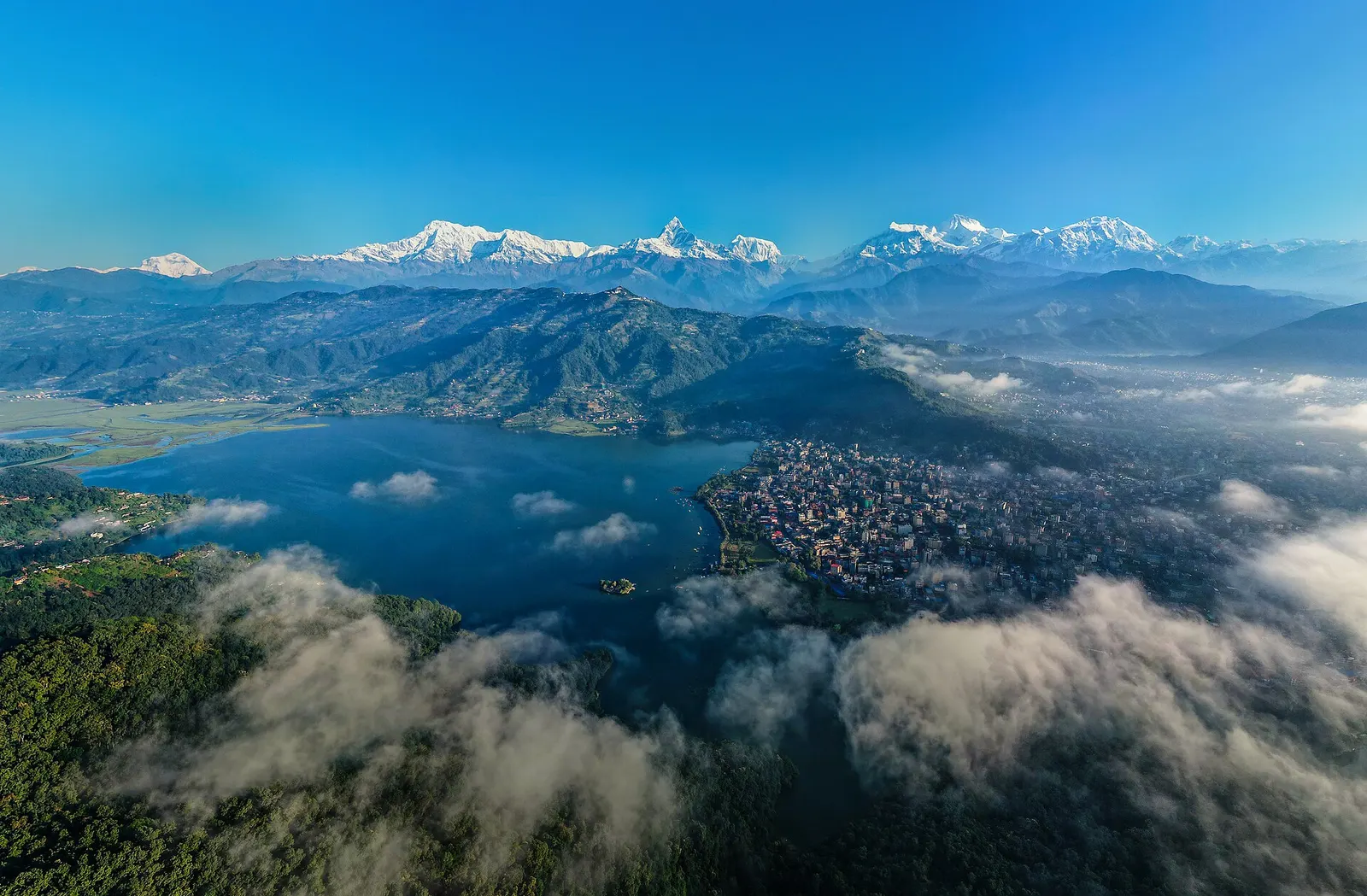
Town or village · 822 m
A lakeside city about 200 km west of Kathmandu, with the Annapurna range and Machhapuchhre rising close to the north.