
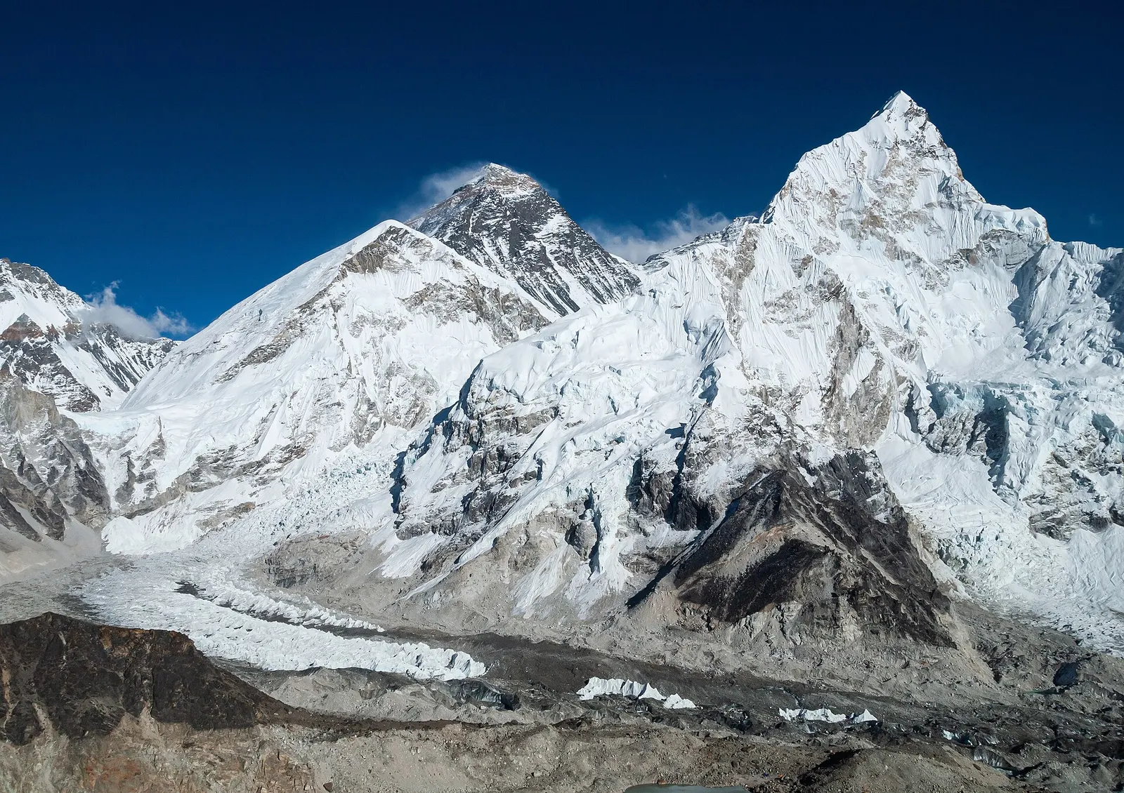
The classic teahouse trek from Lukla through Sherpa villages to Everest Base Camp (5,364 m) and the Kala Patthar viewpoint, with acclimatisation days in Namche and Dingboche.
- Days
- 12 days
- Maximum altitude
- 5,644 m
- Difficulty
- Strenuous
Annapurna Regionअन्नपूर्ण आधार शिविर
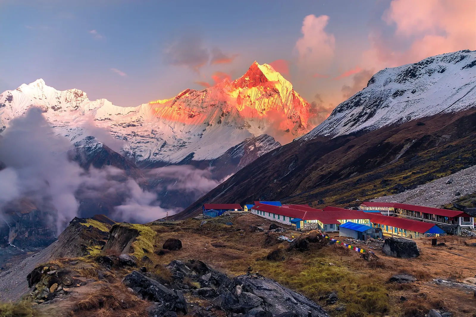
Lodges at about 4,130 m in the glacial basin of the Annapurna Sanctuary, below the south face of Annapurna I.
The trekking base camp in the Annapurna Sanctuary below the south face of Annapurna I, not the north base camp reached from the Kali Gandaki side.
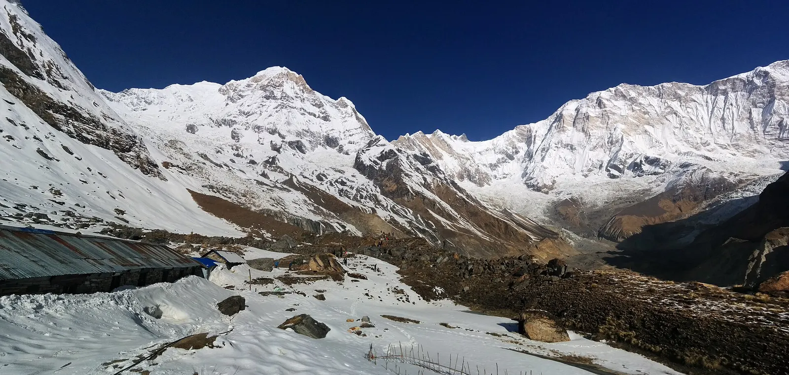
Annapurna Base Camp sits on a moraine ridge at about 4,130 m inside the Annapurna Sanctuary, a high basin surrounded by Annapurna I, Annapurna South, Hiunchuli, Gangapurna, Annapurna III and Machhapuchhre. It is the goal of the Annapurna Base Camp trek, reached in 4-6 days from the road heads north of Pokhara.
The south face of Annapurna I rises above the glacier just north of the lodges. At sunrise the light reaches the summits one after another, and the view down the Modi Khola gorge shows the route you walked in on.
Most trekkers spend one night here and start down the next morning. Those feeling the altitude can sleep at Machhapuchhre Base Camp instead and walk up for the morning view.
The Sanctuary was long held sacred by the Gurung people of the valley below, and the route into it was little used until mountaineers came in the mid-20th century. In 1970 a British expedition climbed the south face of Annapurna I from here. Memorial plaques near the lodges remember climbers who died on the surrounding peaks.
Sunrise from the moraine
Walk a few minutes above the lodges before dawn to watch the light reach Annapurna I and Annapurna South.
Look over the glacier
The moraine edge beside the lodges gives views over the South Annapurna Glacier; keep back from the unstable edge.
Forecast for 4,130 m. Conditions change fast in the mountains.
Weather data: MET Norway, licensed CC BY 4.0. A forecast, not a guarantee.
Mar-Apr, Oct-Nov
A few basic lodges with shared rooms; rooms fill quickly in peak months.
No partner stays are listed here yet. List a property.
ABC is reached only on foot, usually 4-6 days from Pokhara road heads via Chhomrong and the Modi Khola gorge.
Nearest hub: Pokhara
Permit required
ABC is inside the Annapurna Conservation Area; an ACAP permit is required.
Verify before travel: permit rules and fees change. Checked 2026-10-06 against National Trust for Nature Conservation (Annapurna Conservation Area Project, e-permit links).
On the Annapurna Base Camp trek.
The classic teahouse trek from Lukla through Sherpa villages to Everest Base Camp (5,364 m) and the Kala Patthar viewpoint, with acclimatisation days in Namche and Dingboche.
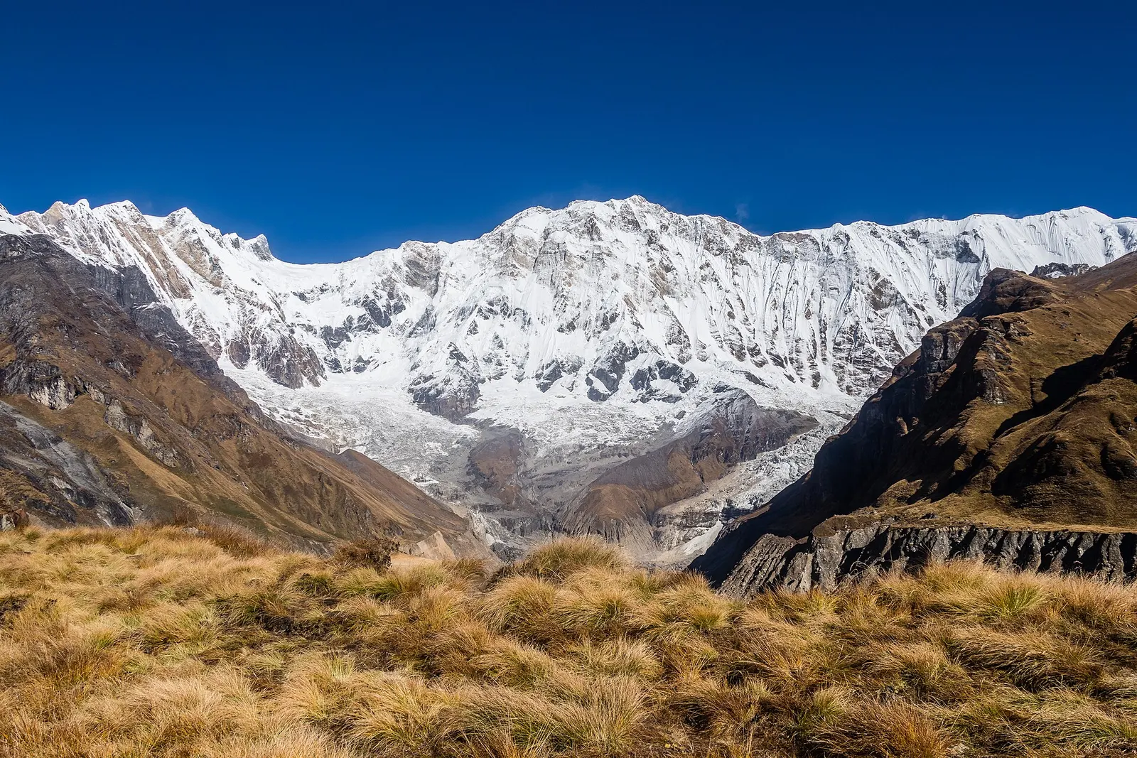
A teahouse trek from the road heads north of Pokhara through Gurung villages and the bamboo forest of the Modi Khola gorge into the Annapurna Sanctuary, to Annapurna Base Camp at about 4,130 m.
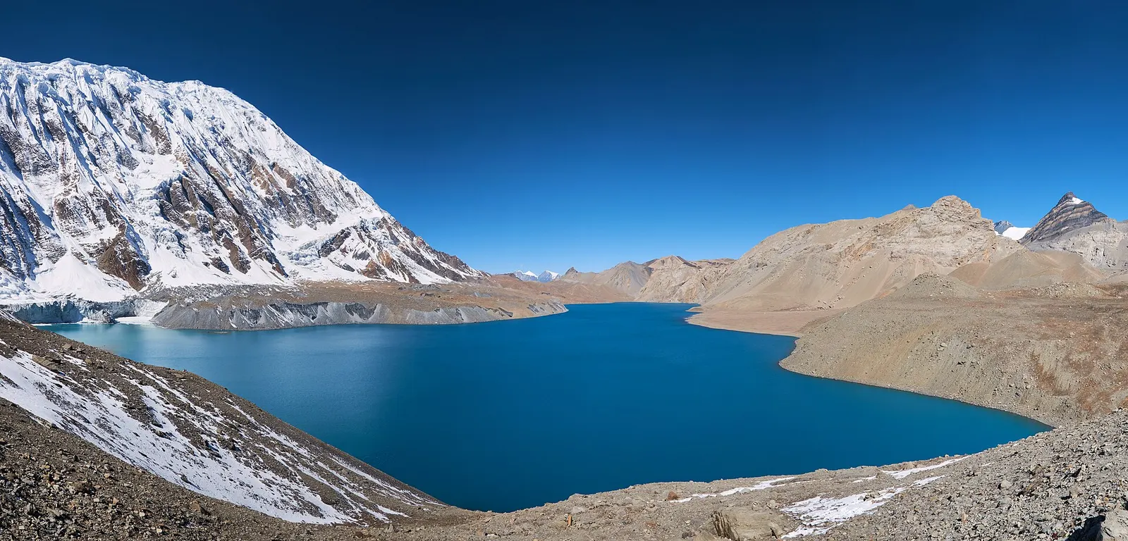
A teahouse journey around the Annapurna massif, from the green Marsyangdi valley through Manang and over the Thorong La (5,416 m) to Muktinath and the dry Kali Gandaki valley.
About 4,130 m.
Usually 4-6 days up and 2-3 days down, depending on the road head used.
Yes, in basic lodges. If you feel unwell, sleep lower at Machhapuchhre Base Camp.
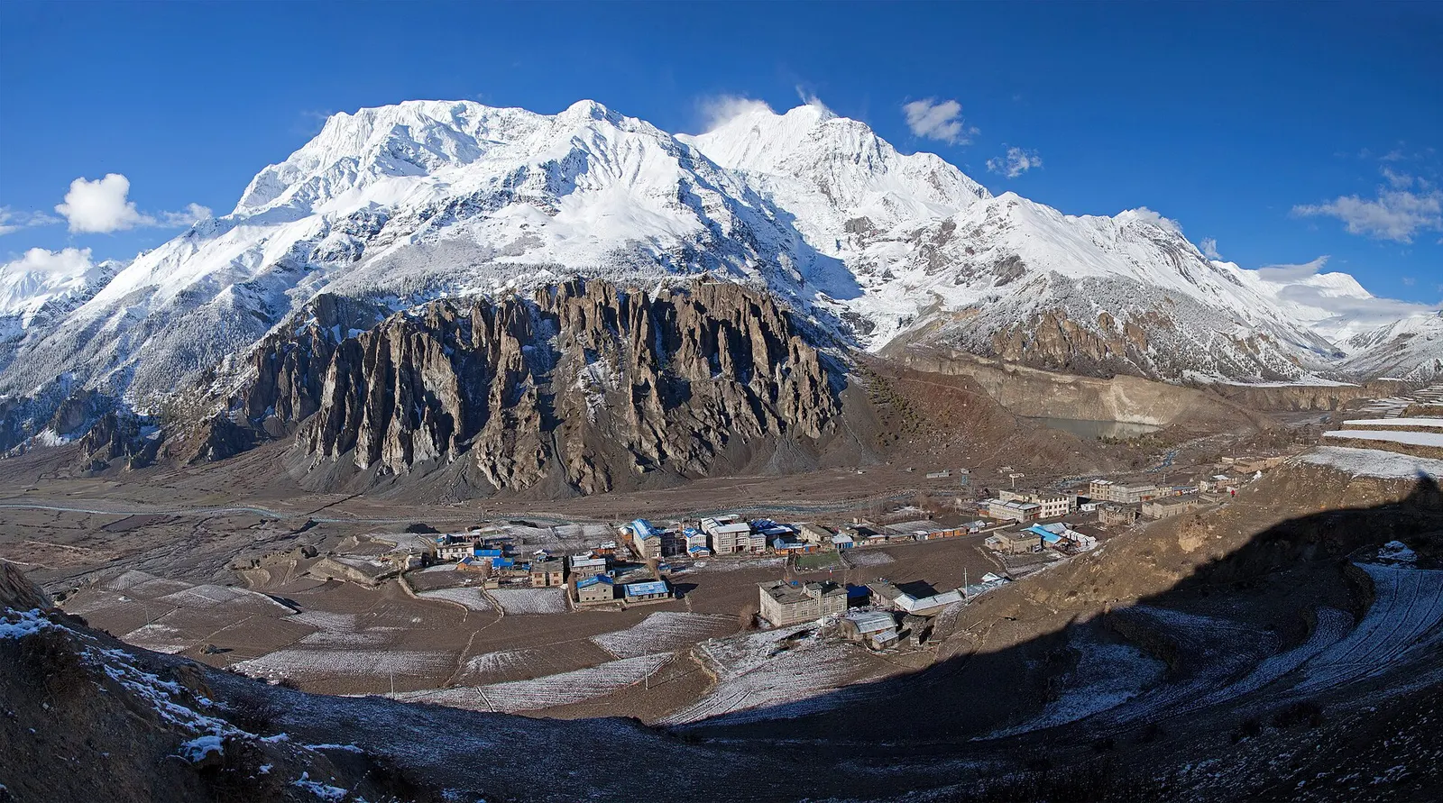
Town or village · 3,519 m
A high stone village in the upper Marsyangdi valley below Annapurna III and Gangapurna, where Circuit trekkers stop to acclimatise.
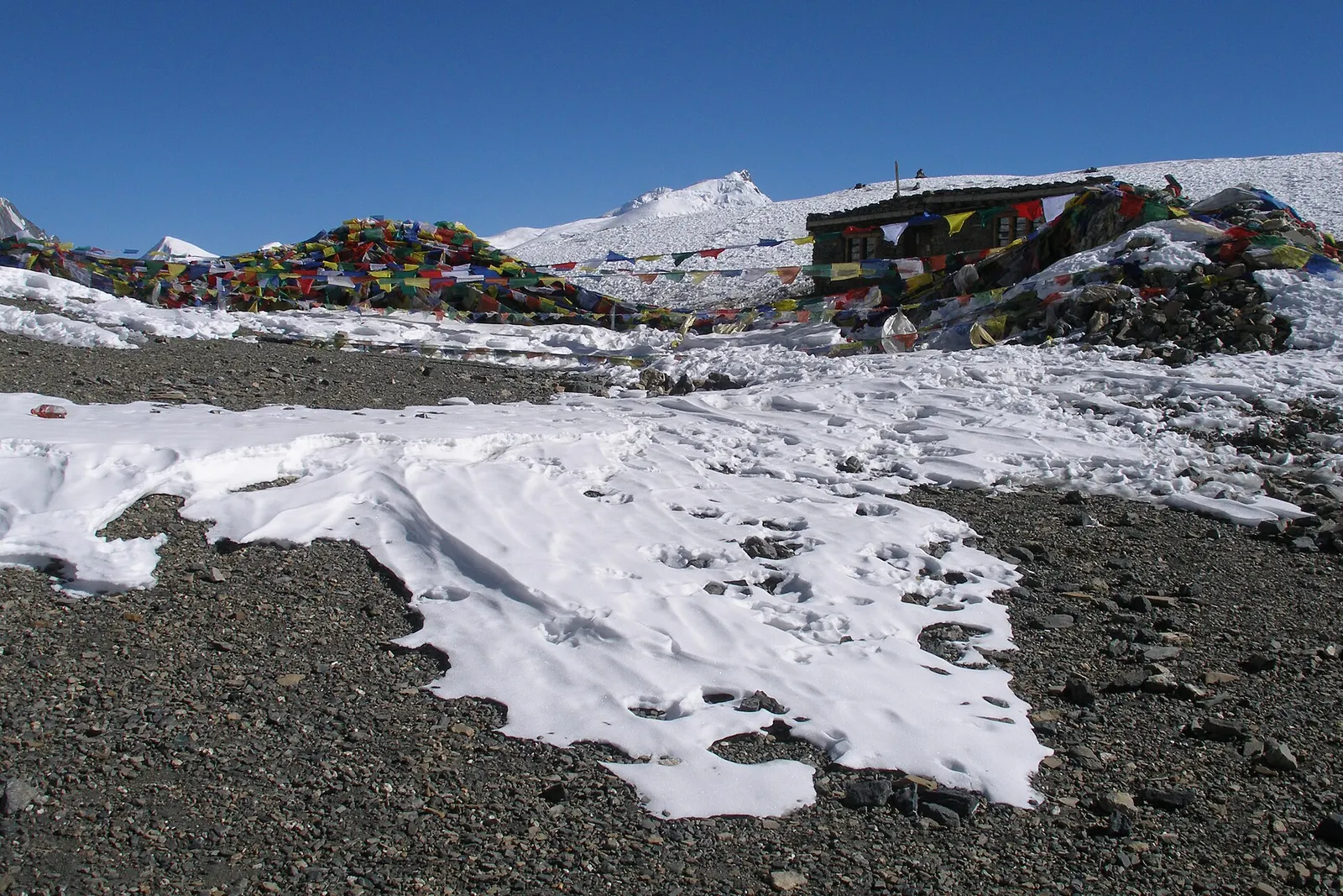
Mountain pass · 5,416 m
The 5,416 m pass between Manang and Muktinath, the high point of the Annapurna Circuit.
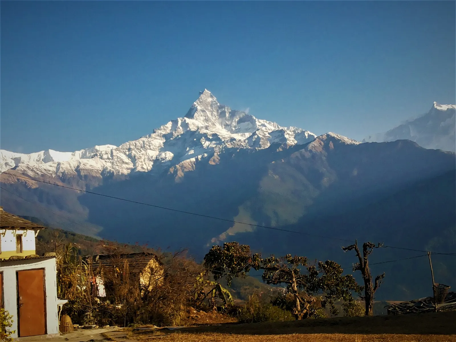
Trek stop · 2,060 m
A grassy clearing at about 2,060 m above Kande with a wide view of the Annapurna range and Machhapuchhre, an easy walk from the road.
Trek stop · 2,310 m
A group of lodges in the bamboo forest of the Modi Khola gorge, the first overnight stop above Chhomrong on the way to Annapurna Base Camp.
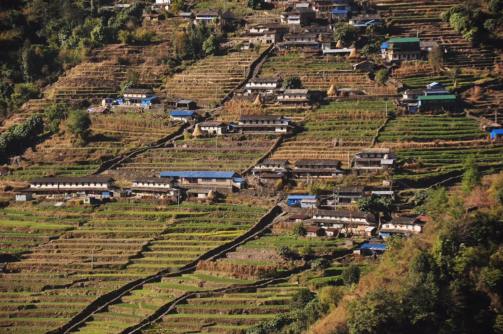
Trek stop · 2,170 m
The last permanent Gurung village before the Annapurna Sanctuary, built on a steep staircase facing Annapurna South and Machhapuchhre.
Trek stop · 3,200 m
The last lodges in the Modi Khola gorge before Machhapuchhre Base Camp, at about 3,200 m.
Trek stop · 1,650 m
A Gurung hill village above Phedi with views of Machhapuchhre and the Annapurnas, close to Pokhara.
Trek stop · 3,420 m
A small high lodge stop on the ridge between Tadapani and Khopra, the base for sunrise at the Muldai viewpoint.
National park or conservation area
Nepal's largest protected area, from Gurung hill villages and rhododendron forest to the dry valleys behind the Annapurna range.