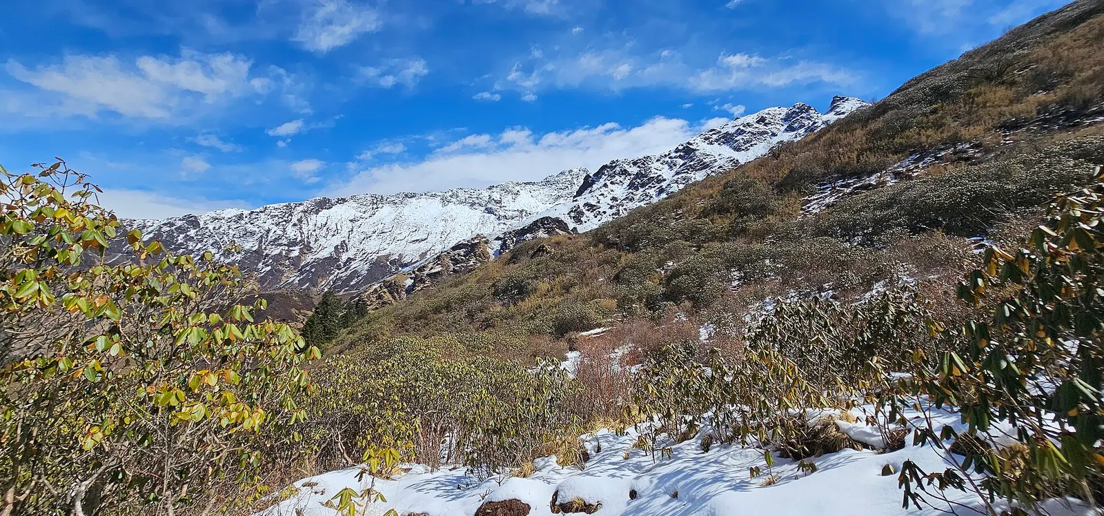
A quieter loop west of the Annapurna Sanctuary from Ghandruk via Tadapani, Dobato and Khopra Ridge (about 3,660 m) to Swanta, Ghorepani and Poon Hill, with an optional hike to Khayer Lake.
- Days
- 7 days
- Maximum altitude
- 3,660 m
- Difficulty
- Moderate
Annapurna Regionदोबाटो
A small high lodge stop on the ridge between Tadapani and Khopra, the base for sunrise at the Muldai viewpoint.
The high lodge stop at about 3,420 m on the ridge north of Tadapani, below the Muldai viewpoint; not the Dobato localities near Pokhara or in Madi.
Dobato is a small group of lodges on an open ridge at about 3,420 m, north of Tadapani and Ghorepani. The name means 'two paths' in Nepali, after the trail junction here.
It is the overnight base for the Muldai viewpoint, about 45 minutes to an hour above, where a sunrise view takes in Dhaulagiri, the Annapurnas and Machhapuchhre. Dobato also lies on the circuit of the Khopra Danda trek, linking Tadapani with Bayeli Kharka and Khopra.
Facilities are basic, and the stop is quieter than Ghorepani or Tadapani.
The ridge was used as summer grazing land by herders from villages below, and the lodges grew up after trekking routes opened north of the Poon Hill loop in the 2000s and 2010s. It lies in the Annapurna Conservation Area, in forest of rhododendron and fir.
Muldai sunrise
Climb about 45-60 minutes before dawn to the Muldai viewpoint (about 3,637 m).
Ridge walk
The trail towards Bayeli Kharka and Khopra follows high ground with wide views.
Forecast for 3,420 m. Conditions change fast in the mountains.
Weather data: MET Norway, licensed CC BY 4.0. A forecast, not a guarantee.
Mar-Apr, Oct-Nov
A few basic lodges; in peak season book through your guide or arrive early.
No partner stays are listed here yet. List a property.
Dobato is reached on foot from Tadapani or Ghorepani.
Nearest hub: Pokhara
Permit required
Dobato is inside the Annapurna Conservation Area; an ACAP permit is required.
Verify before travel: permit rules and fees change. Checked 2026-10-06 against National Trust for Nature Conservation (Annapurna Conservation Area Project, e-permit links).
On the Muldai Viewpoint trek, Khopra Danda trek.
A quieter loop west of the Annapurna Sanctuary from Ghandruk via Tadapani, Dobato and Khopra Ridge (about 3,660 m) to Swanta, Ghorepani and Poon Hill, with an optional hike to Khayer Lake.
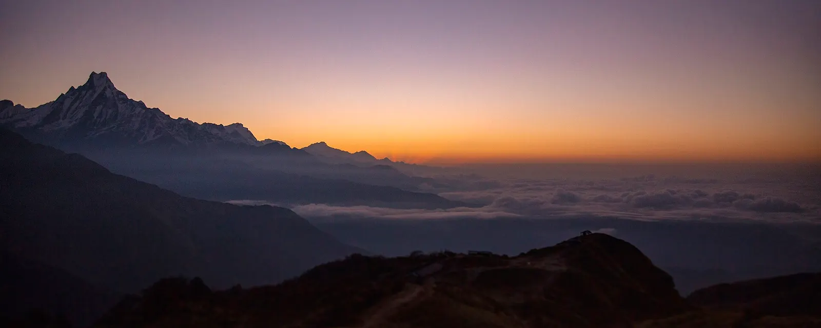
A four-day loop from Pokhara via Ghandruk, Tadapani and Dobato to the Muldai viewpoint (about 3,637 m) for sunrise, returning over Ghorepani and Poon Hill.
About 3,420 m, with the Muldai viewpoint about 200 m higher.
On foot, about 5-6 hours from Tadapani or Ghorepani.
Yes, an ACAP permit; check the current TIMS and guide rules.
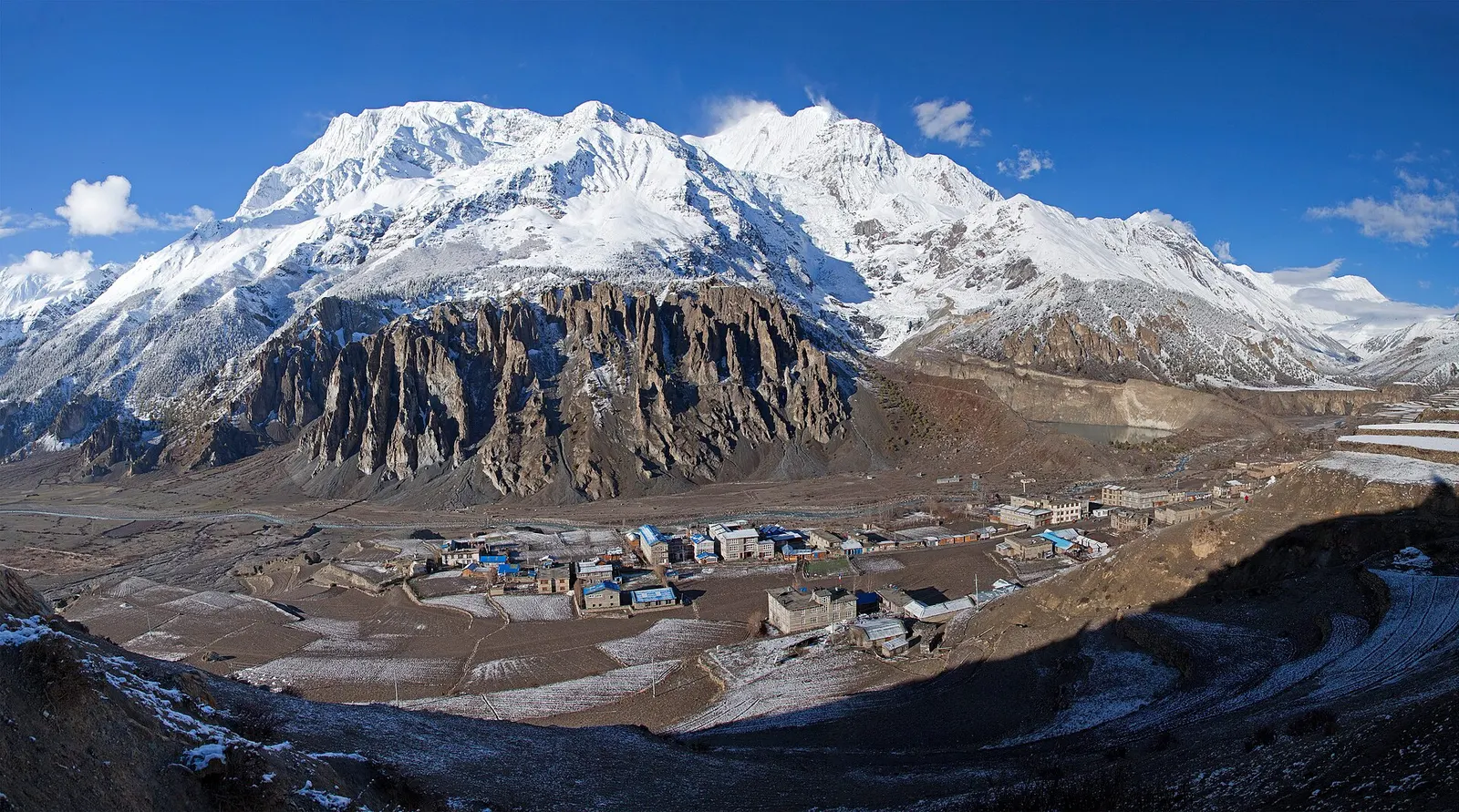
Town or village · 3,519 m
A high stone village in the upper Marsyangdi valley below Annapurna III and Gangapurna, where Circuit trekkers stop to acclimatise.
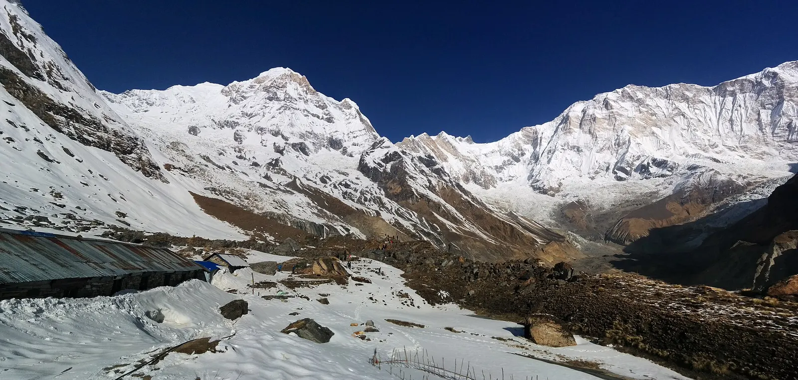
Trek stop · 4,130 m
Lodges at about 4,130 m in the glacial basin of the Annapurna Sanctuary, below the south face of Annapurna I.
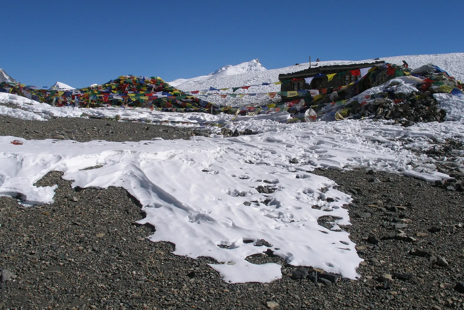
Mountain pass · 5,416 m
The 5,416 m pass between Manang and Muktinath, the high point of the Annapurna Circuit.
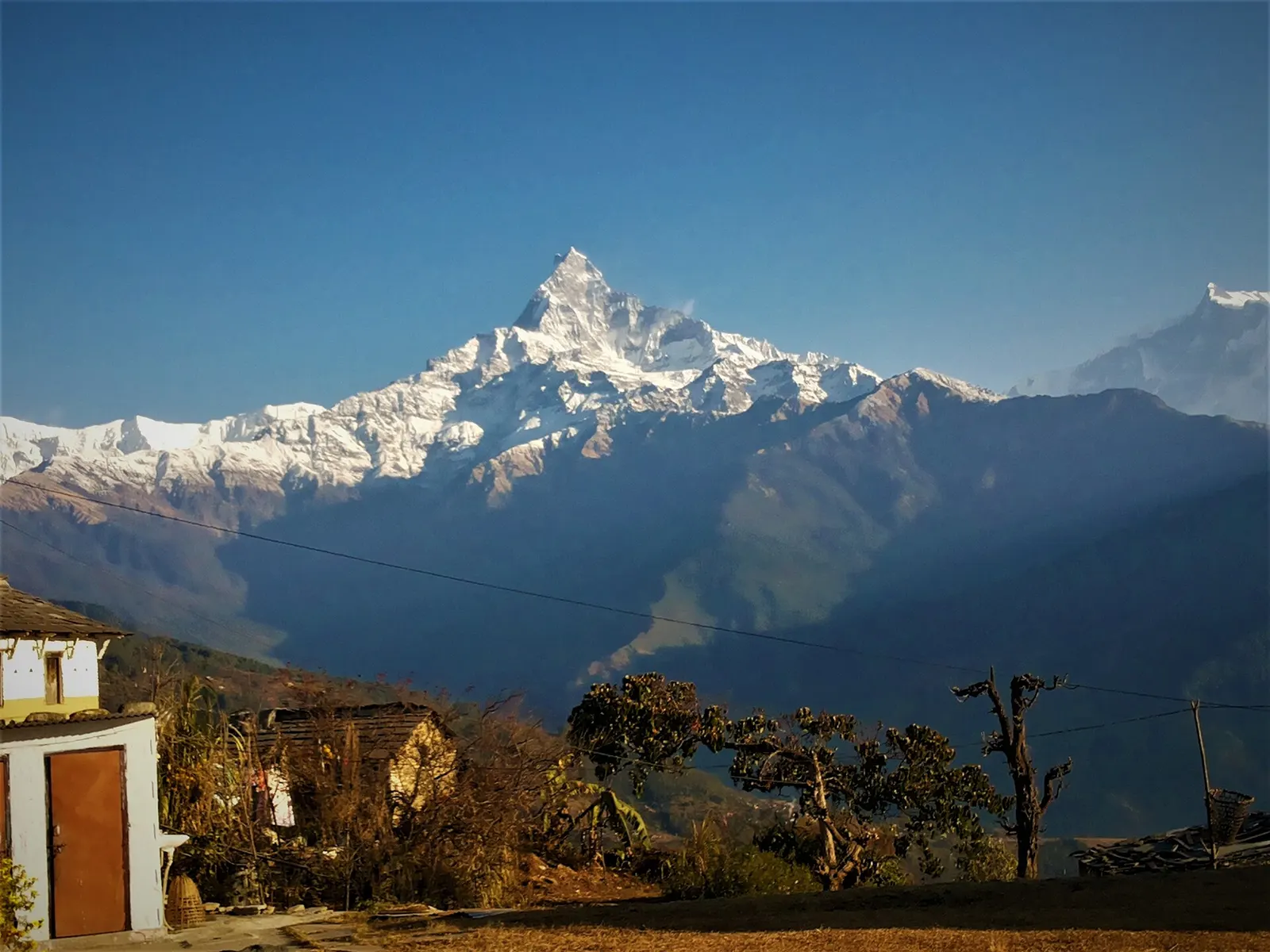
Trek stop · 2,060 m
A grassy clearing at about 2,060 m above Kande with a wide view of the Annapurna range and Machhapuchhre, an easy walk from the road.
Trek stop · 2,310 m
A group of lodges in the bamboo forest of the Modi Khola gorge, the first overnight stop above Chhomrong on the way to Annapurna Base Camp.
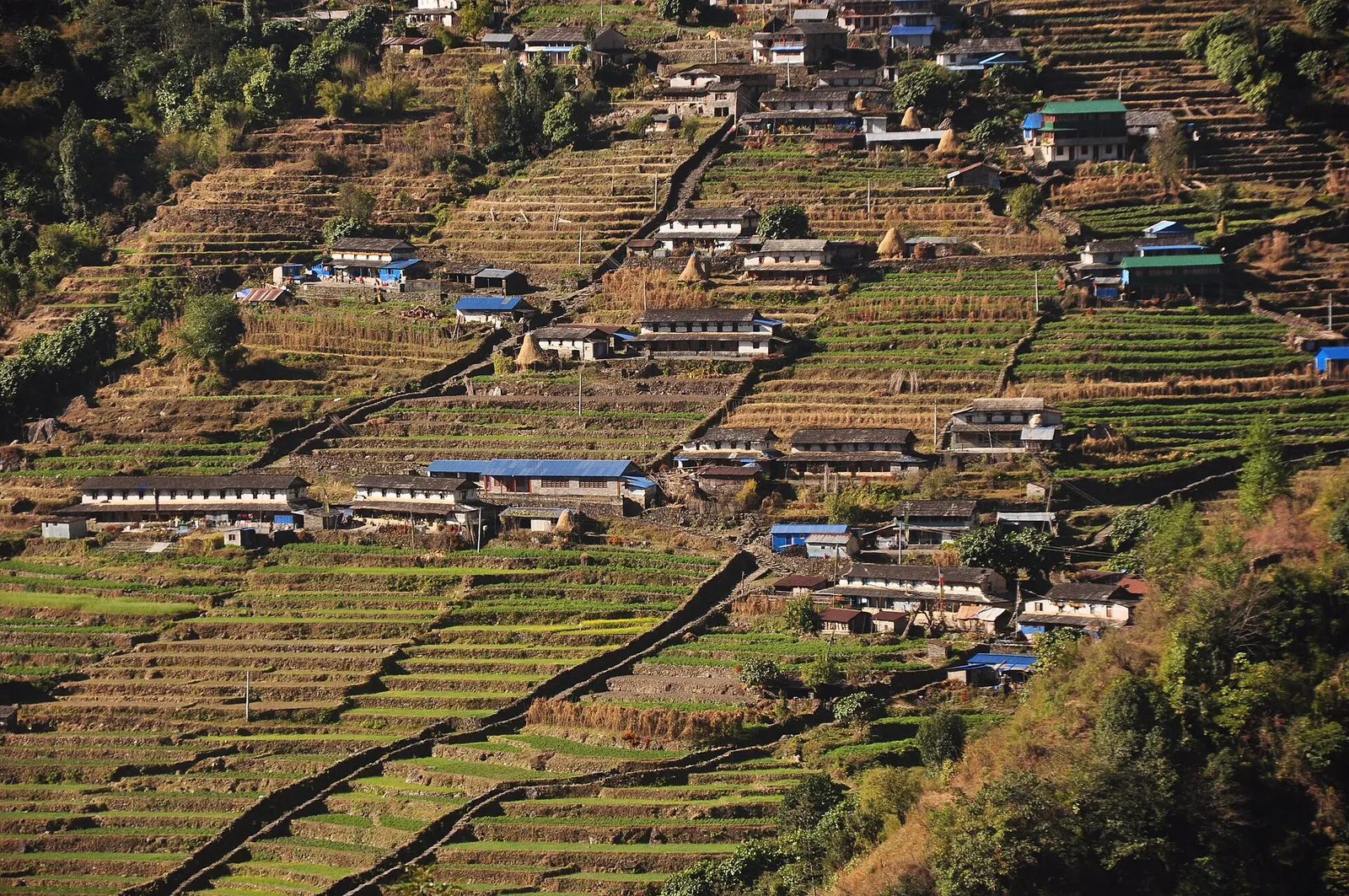
Trek stop · 2,170 m
The last permanent Gurung village before the Annapurna Sanctuary, built on a steep staircase facing Annapurna South and Machhapuchhre.
Trek stop · 3,200 m
The last lodges in the Modi Khola gorge before Machhapuchhre Base Camp, at about 3,200 m.
Trek stop · 1,650 m
A Gurung hill village above Phedi with views of Machhapuchhre and the Annapurnas, close to Pokhara.