
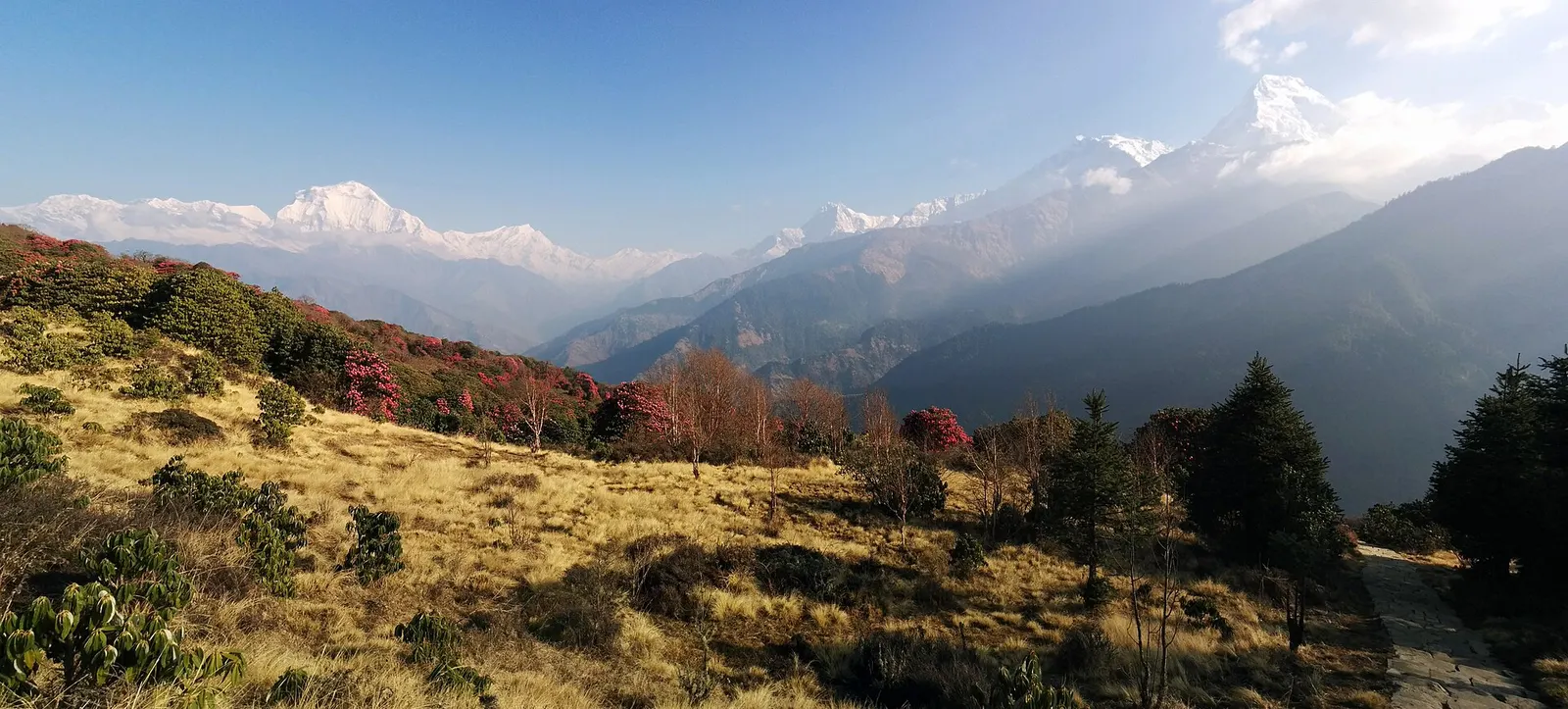
A short teahouse loop from Pokhara through Magar and Gurung villages and rhododendron forest to Ghorepani and the Poon Hill viewpoint (3,210 m), returning via Tadapani and Ghandruk.
- Days
- 4 days
- Maximum altitude
- 3,210 m
- Difficulty
- Easy
Pokhara & Annapurna, Annapurna Region
A quieter loop west of the Annapurna Sanctuary from Ghandruk via Tadapani, Dobato and Khopra Ridge (about 3,660 m) to Swanta, Ghorepani and Poon Hill, with an optional hike to Khayer Lake.
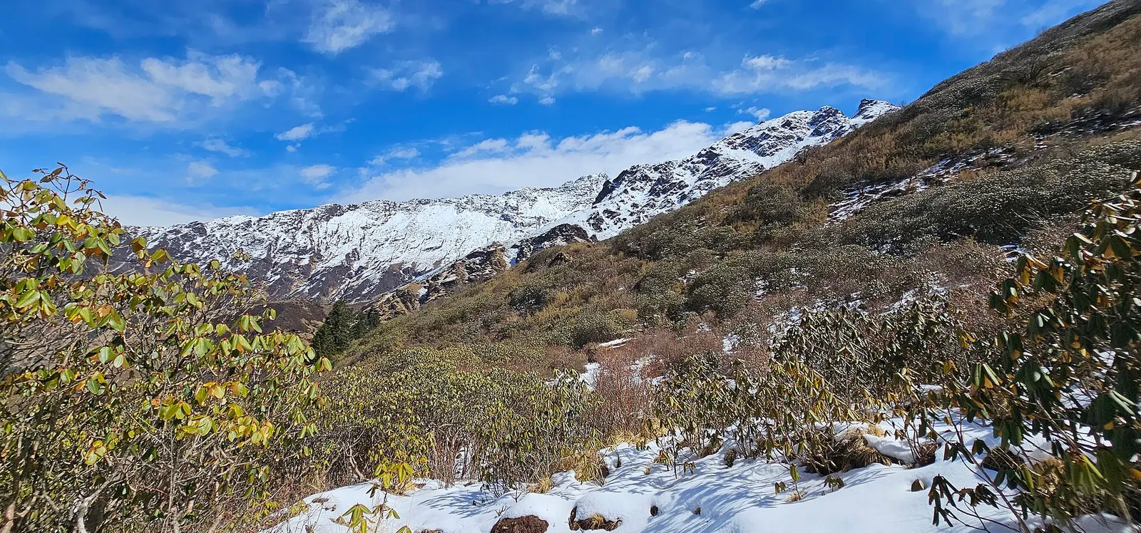
The Khopra Danda trek leaves the busy Poon Hill trail for high pastures and forest west of Annapurna South. Its centre is Khopra Ridge, a grassy shoulder at about 3,660 m with a community-run lodge, facing Dhaulagiri across the Kali Gandaki and Annapurna South close to the north-east.
This plan goes anticlockwise: from Ghandruk to Tadapani and up to Dobato, over the ridge via Bayeli Kharka and Chistibang to Khopra, then down through the farming village of Swanta to Ghorepani and Poon Hill. From Khopra, a long day hike reaches Khayer Lake, a small holy lake at about 4,500-4,660 m.
Lodges above Tadapani are few and simple, trails are less marked than on the Poon Hill loop, and the ridge is exposed to weather, so a guide is useful even where the rule is not enforced.
Why it is rated moderate
Sleeping altitude for each night. The dashed lines at 3,000 m and 4,000 m mark heights where altitude illness becomes more common. General information only, not medical advice.
Hover, tap or use the arrow keys to see each day. Shaded columns are acclimatisation days.
| Day | Overnight | Sleeping altitude | High point |
|---|---|---|---|
| 1 | Tadapani | 2,630 m | - |
| 2 | Dobato | 3,420 m | - |
| 3 | Khopra Ridge | 3,660 m | - |
| 4 | Khopra Ridge (rest) | 3,660 m | - |
| 5 | Swanta | 2,214 m | - |
| 6 | Ghorepani | 2,874 m | - |
| 7 | Pokhara | 822 m | 3,210 m |
About 3-4 hours by jeep to Ghandruk or Kimche, then a forest climb to the lodges at Tadapani.
Teahouse in TadapaniAbout Tadapani
North through rhododendron forest and buffalo pastures to the ridge-top lodges of Dobato. The sleeping altitude rises by about 800 m.
Teahouse in DobatoAbout Dobato
Optional pre-dawn climb to the Muldai viewpoint, then along the ridge via Bayeli Kharka, down through forest to the Chistibang pastures and up above the tree line to Khopra Ridge.
Community lodge on Khopra RidgeAbout Khopra Ridge
Rest, or hike to Khayer Lake (about 4,500-4,660 m), roughly 7-9 hours return. Go only with a guide, in settled weather and if fully well; turn back early if the trail is snowbound.
Community lodge on Khopra RidgeAbout Khopra Ridge
A long descent past Chistibang (Dhan Kharka) through forest and pasture to the Magar farming village of Swanta.
Lodge or homestay in SwantaAbout Swanta
Down through village fields, across a suspension bridge and up through Chitre to Ghorepani on its ridge.
Teahouse in GhorepaniAbout Ghorepani
Climb to Poon Hill for sunrise, then descend the stone staircase to Ulleri or Hile for a jeep to Pokhara (roughly 3-4 hours).
Hotel in Pokharahigh point Poon Hill, 3,210 m
Stages, times and altitudes vary by operator, weather and pace. Partner agencies confirm the exact plan.
Trail geometry from OpenStreetMap.
ACAP entry permit (Annapurna Conservation Area)Conservation area
Issued by the National Trust for Nature Conservation, which runs the Annapurna Conservation Area Project, at its offices in Kathmandu and Pokhara or through its online e-permit system. Carry it with your passport; it is checked at trail posts.
TIMS cardTrekker card
Check whether a TIMS card is currently required; since 2023 it has been issued through registered trekking agencies.
Verify before travel: permit rules and fees change. Checked 2026-10-06 against National Trust for Nature Conservation (Annapurna Conservation Area Project, e-permit links). Guide rule: Nepal bans solo trekking for tourists, guides mandatory from April 1 (The National, March 2023).
Nepal trekking permits explainedBest months: Mar-Apr, Oct-Nov
Forecasts for start (Tadapani, 2,630 m), highest overnight (Khopra Ridge, 3,660 m), end (Pokhara, 822 m). Mountain weather changes fast; check again on the day.
Forecast for 2,630 m. Conditions change fast in the mountains.
Weather data: MET Norway, licensed CC BY 4.0. A forecast, not a guarantee.
Forecast for 3,660 m. Conditions change fast in the mountains.
Weather data: MET Norway, licensed CC BY 4.0. A forecast, not a guarantee.
Forecast for 822 m. Conditions change fast in the mountains.
Weather data: MET Norway, licensed CC BY 4.0. A forecast, not a guarantee.
Khayer Lake
A holy lake at about 4,500-4,660 m above Khopra Ridge, roughly 7-9 hours return.
From Khopra, trails drop west via Paudwar to Gharkhola and roads towards Tatopani and Beni.
Linked by trail from Ghorepani; adds a community-lodge hilltop south-west of Poon Hill.
Usually 6-9 days from Pokhara, depending on the start point and whether you add a day for Khayer Lake.
Khopra Ridge is about 3,660 m. Khayer Lake above it is about 4,500-4,660 m.
Yes. It goes higher, has several nights above 3,000 m and uses quieter, less-marked trails.
An ACAP entry permit; check whether a TIMS card is currently required.
In a community-run lodge on the ridge, with dormitory and private rooms.
A short teahouse loop from Pokhara through Magar and Gurung villages and rhododendron forest to Ghorepani and the Poon Hill viewpoint (3,210 m), returning via Tadapani and Ghandruk.
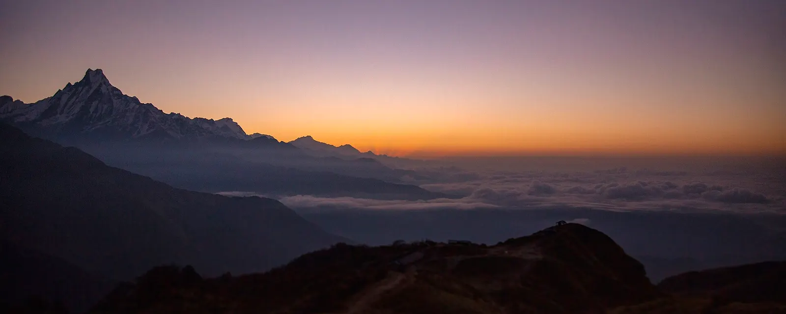
A four-day loop from Pokhara via Ghandruk, Tadapani and Dobato to the Muldai viewpoint (about 3,637 m) for sunrise, returning over Ghorepani and Poon Hill.
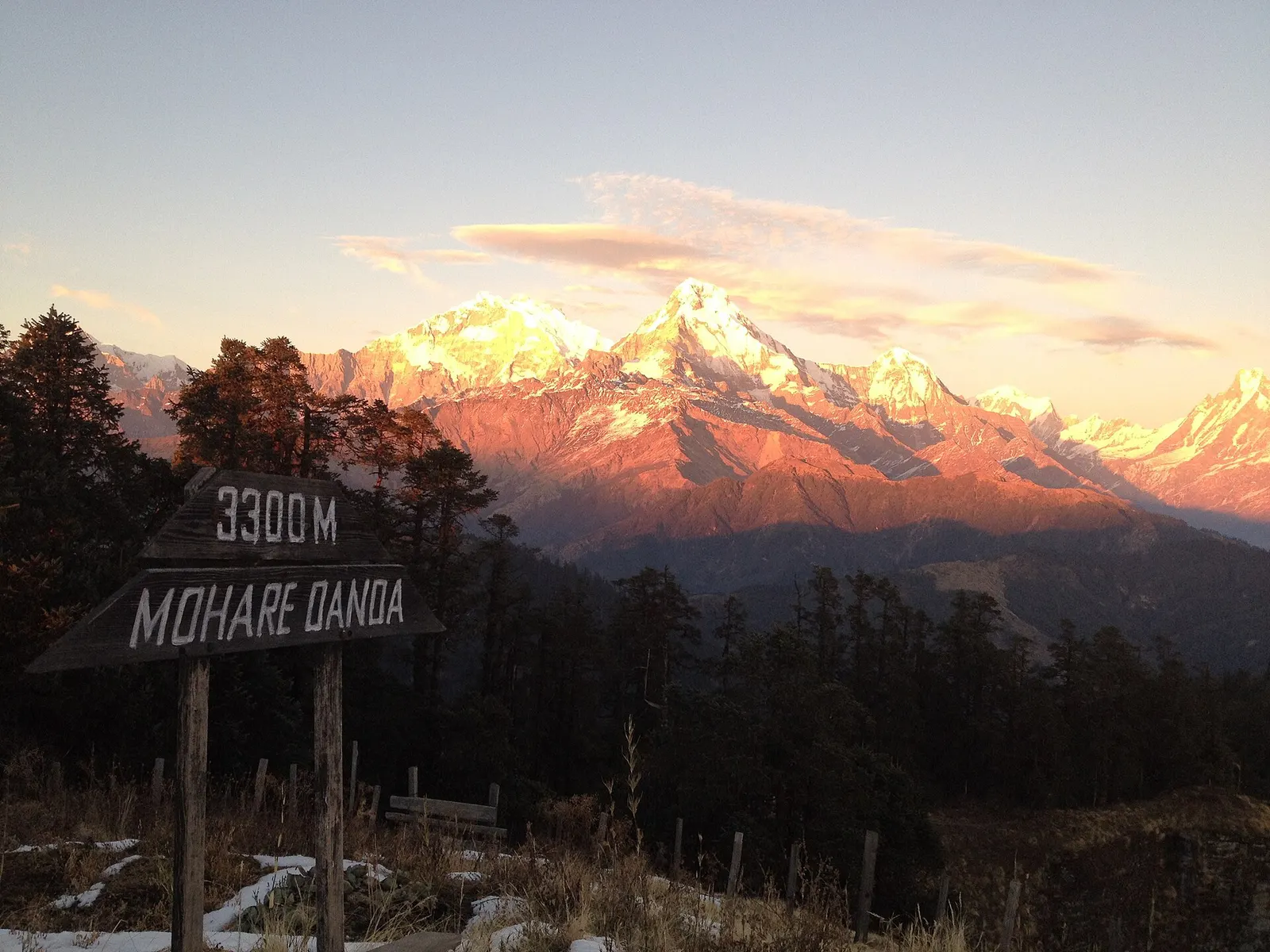
A short community-run trek from the Beni side through Magar villages to Mohare Danda (about 3,300 m), a hilltop with a community lodge facing Dhaulagiri and the Annapurnas.
Khopra Danda · 7 days