

Town or village · 2,743 m
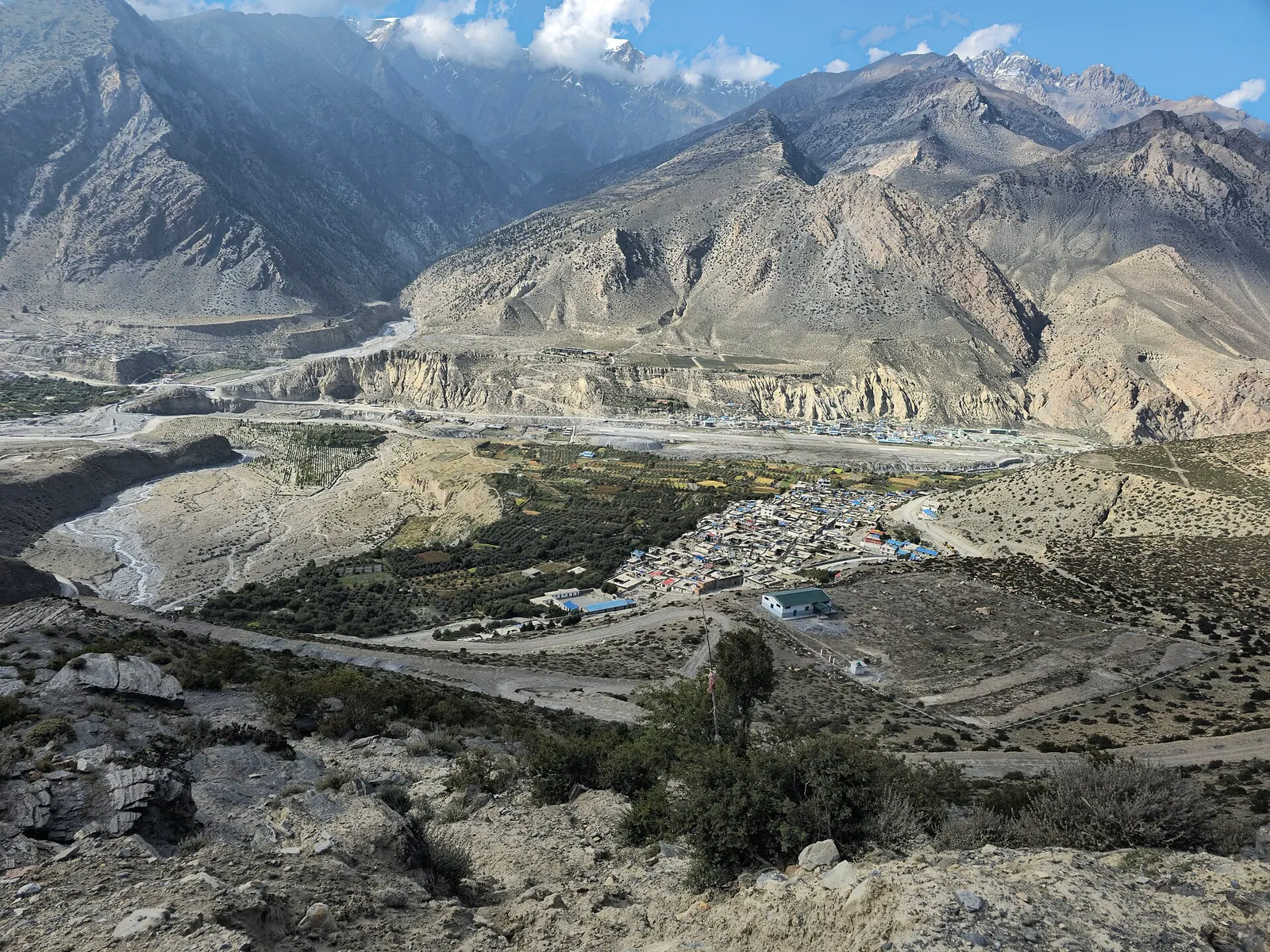
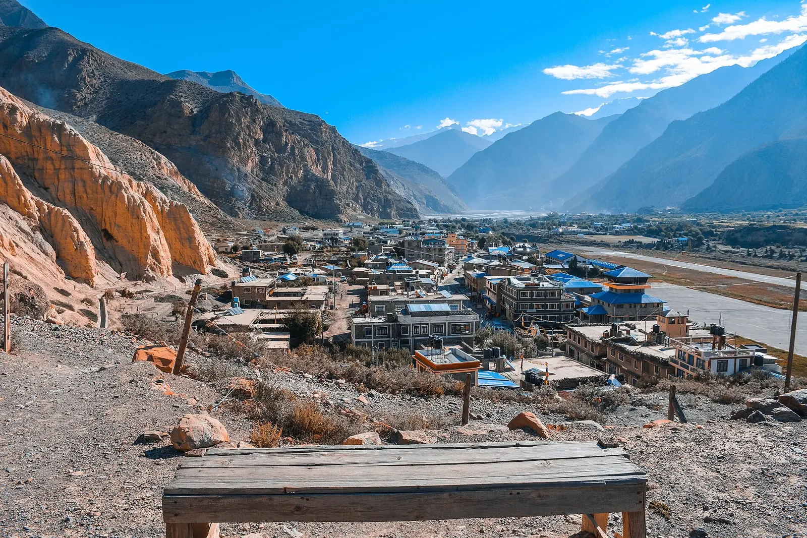
Jomsom
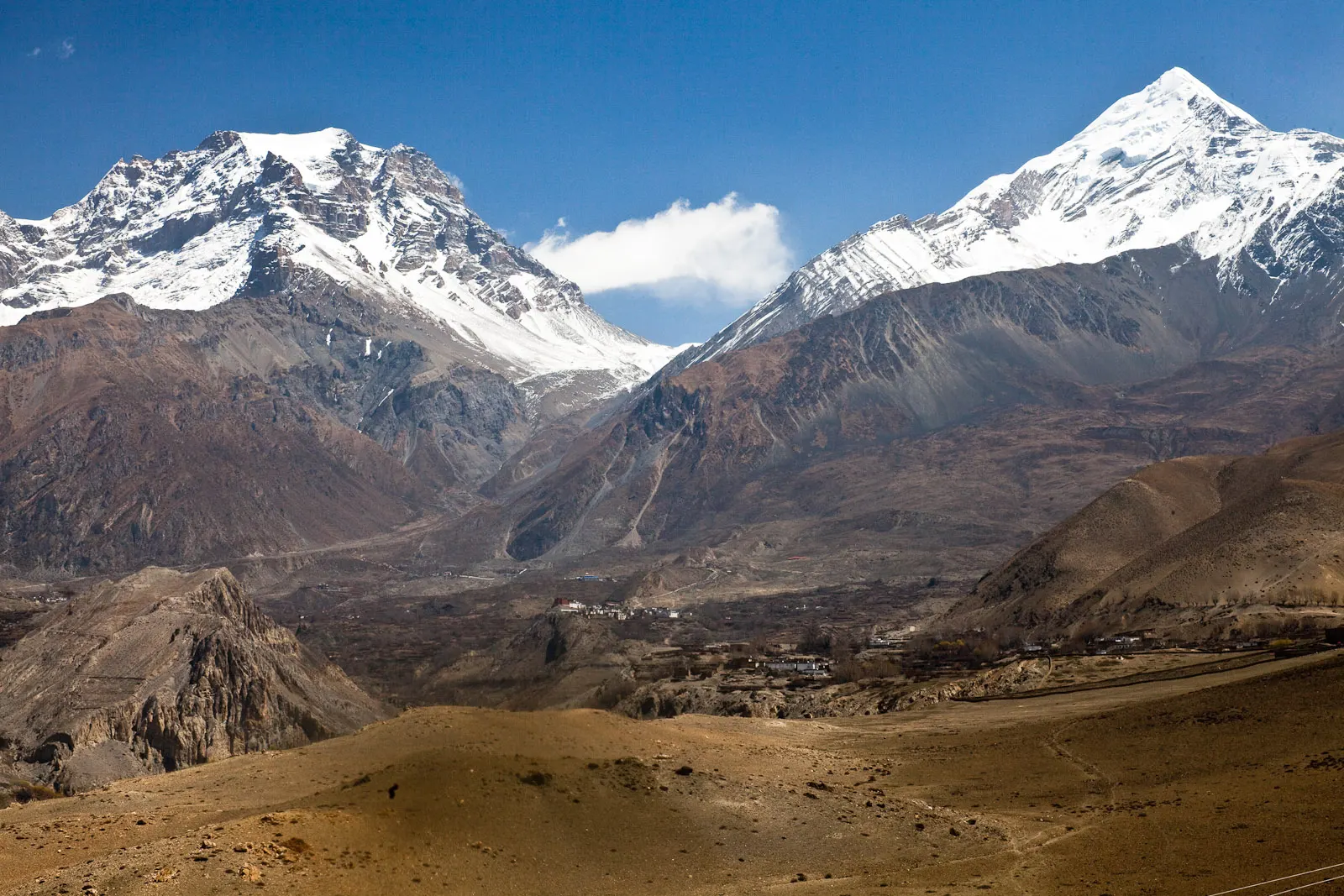
Mustang's headquarters and airstrip town on the Kali Gandaki, under the walls of Nilgiri and Dhaulagiri.
Mustang & Trans-Himalayaमुस्ताङ
A high, dry valley north of the Himalaya with a walled capital, cliff caves and old monasteries.
This is Mustang district in Gandaki Province as a whole, Lower Mustang (Thak Khola) and Upper Mustang together; the restricted former Kingdom of Lo has its own page, Upper Mustang.
Higher seasonal exposure: landslides (Jun-Sep), road blockages (Jun-Sep), other (All year), cold (Dec-Feb).
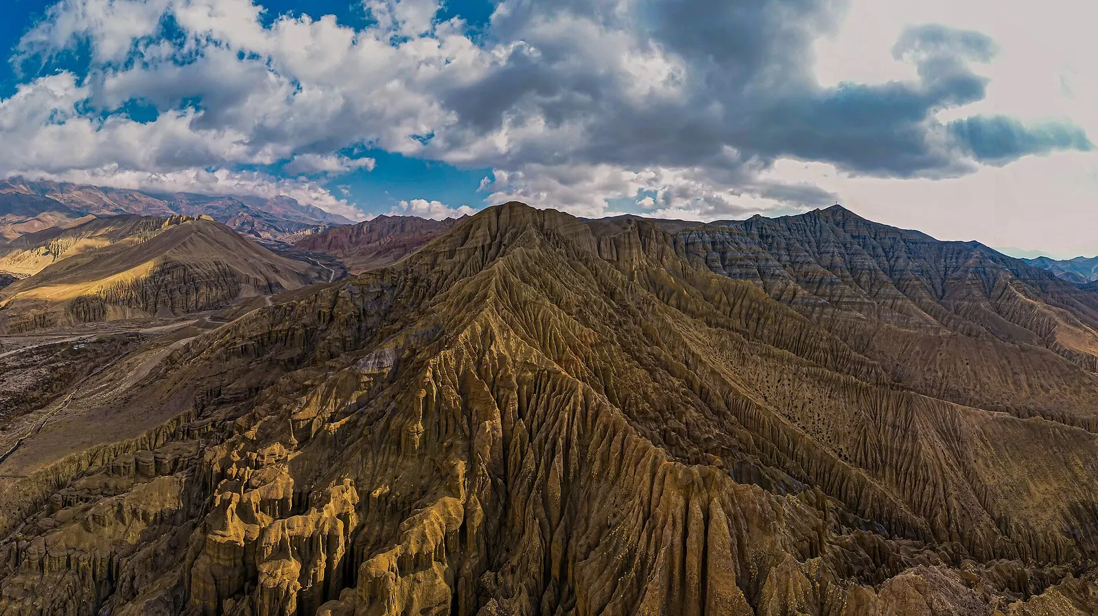
Mustang is the district in north-central Nepal that follows the Kali Gandaki river from the deep gorge between Dhaulagiri and Annapurna up onto the edge of the Tibetan plateau. It lies mostly in the rain shadow of those two massifs, so the land is dry, open and wind-swept, with irrigated fields of barley, buckwheat and apples set among bare cliffs. The whole district sits inside the Annapurna Conservation Area.
Travellers usually think of it in two halves. Lower Mustang, or Thak Khola, is open to all visitors with an Annapurna Conservation Area permit and is reached by road or by air from Pokhara. Upper Mustang, north of Kagbeni, is a restricted area that needs a special permit.
The places in this destination: Jomsom, the district headquarters and airstrip town, is the usual starting point. Marpha is a Thakali village of whitewashed stone lanes known for apples. Kagbeni is an old fortified village at the gateway to the north. Muktinath, a short drive above Kagbeni, is a temple sacred to both Hindus and Buddhists. Upper Mustang, the former Kingdom of Lo, holds the walled town of Lo Manthang and the villages of Charang and Chhusang.
Mustang works as a short trip of a few days around Jomsom and Muktinath, as the western half of the Annapurna Circuit after the Thorong La, or as a longer journey into Upper Mustang.
The story
The Tibetan saint Guru Rinpoche is said to have defeated a demoness here on his way to Tibet, and her blood is said to have coloured Mustang's red cliffs. The monasteries of Lo Manthang have kept Tibetan Buddhist art and ritual alive for around six centuries, protected by the canyons around them.
Town or village · 2,743 m
Mustang's headquarters and airstrip town on the Kali Gandaki, under the walls of Nilgiri and Dhaulagiri.
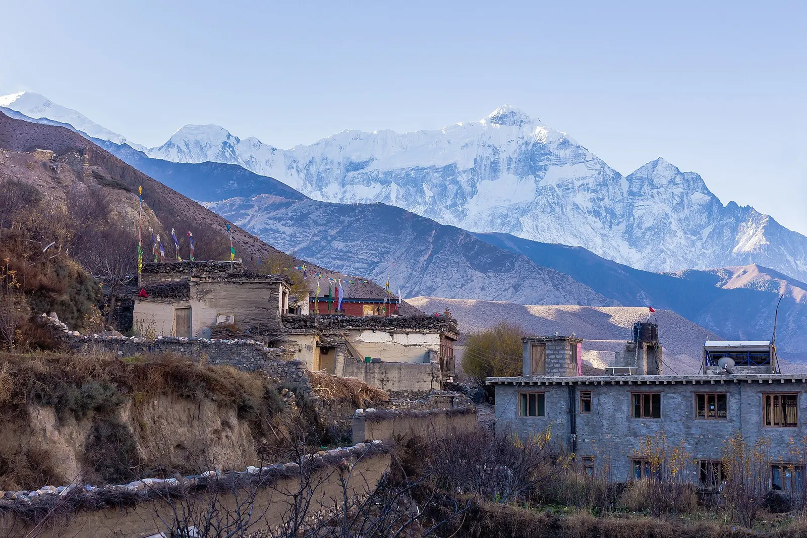
Town or village · 2,804 m
A medieval mud-brick village at the confluence of two rivers, the gateway between Lower and Upper Mustang.
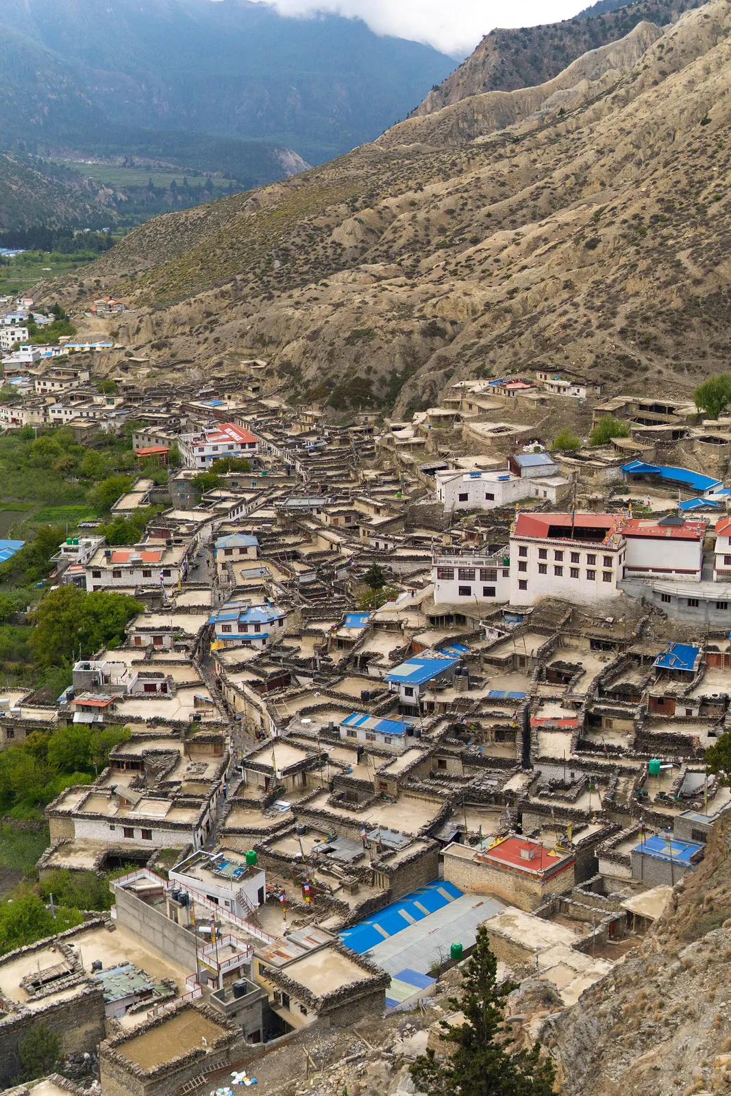
Town or village · 2,670 m
A Thakali village of whitewashed stone houses, flagstone lanes and apple orchards in the Kali Gandaki valley.
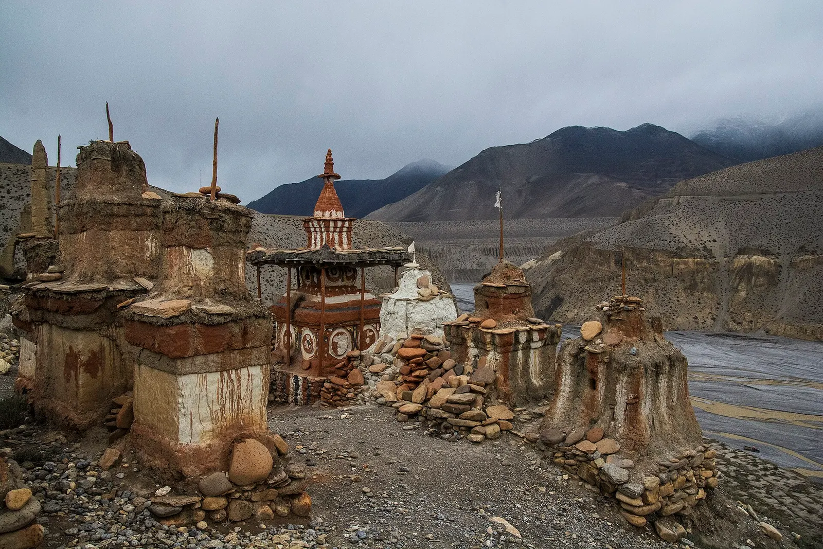
Valley or region
The old Kingdom of Lo: a dry, wind-carved valley of cave cliffs, red monasteries and walled villages north of Kagbeni.
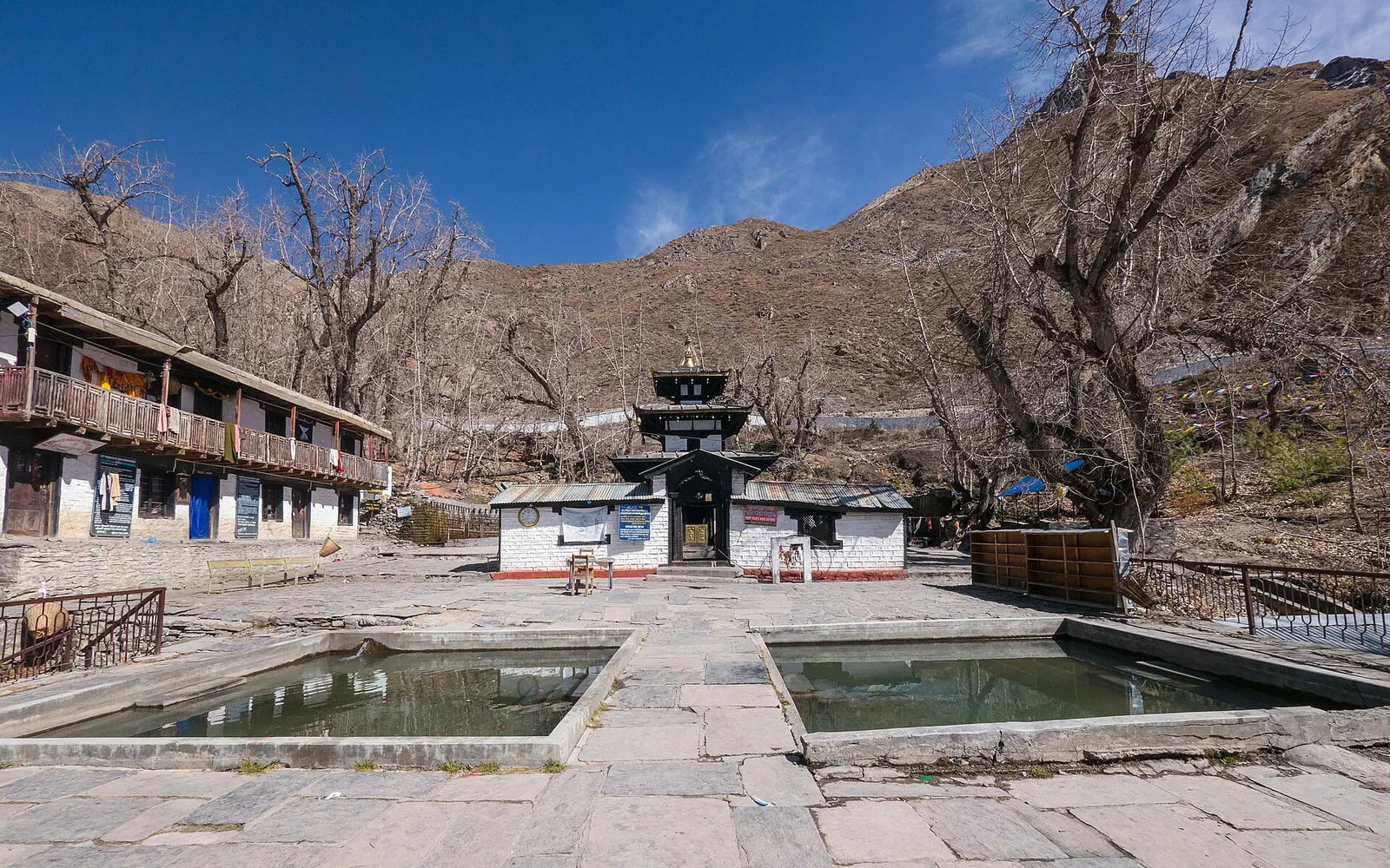
Temple, monastery or heritage site · 3,762 m
A high temple complex below the Thorong La, sacred to Hindus as Mukti Kshetra and to Buddhists as Chumig Gyatsa.
For centuries the Kali Gandaki valley was a trade corridor between Tibet and the lowlands, carrying salt and wool south and grain north. The Thakali people of Thak Khola grew prosperous as traders and innkeepers along this route, and their villages, such as Marpha and Tukuche, still show the courtyard houses of that era. North of Kagbeni, the Kingdom of Lo kept its own rulers under Nepali suzerainty until 2008.
Culture shifts as you go north: Thakali communities around Jomsom and Marpha combine Buddhist, Bon and Hindu practice, while Upper Mustang and the Baragaun villages near Kagbeni and Muktinath are Tibetan-speaking and Buddhist. Muktinath draws Hindu pilgrims from Nepal and India, and the riverbed of the Kali Gandaki is the source of shaligram fossil stones revered as forms of Vishnu.
Upper Mustang by jeep or on footWith a guide
Seven to twelve day journeys from Jomsom to Lo Manthang and back. The restricted permit must be arranged through a registered agency, with a licensed guide and at least two travellers. Arranged through a licensed local operator.
indicative, from about US$1,400
Cliff caves of ChhoserWith a guide
A half-day trip from Lo Manthang to caves cut into the cliffs, some reached by ladders. A local guide can arrange access.
indicative, about NPR 1,000 entry
Jomsom to Muktinath
Drive or walk up from Jomsom via Kagbeni to Muktinath, about 20-25 km, and visit the temple and its 108 water spouts.
Walk the Kali Gandaki villages
Day walks link Jomsom, Marpha, Syang and Thini, with monasteries, orchards and views of Nilgiri and Dhaulagiri.
Look for shaligram
Ammonite fossils, sacred to Hindus as shaligram, are found along the Kali Gandaki riverbed; buy only from shops rather than removing stones from protected sites.
Continue into Upper Mustang
With a restricted area permit, travel north from Kagbeni to Lo Manthang over 4-5 days on foot or by jeep.
Forecast for 2,743 m. Conditions change fast in the mountains.
Weather data: MET Norway, licensed CC BY 4.0. A forecast, not a guarantee.
Mar-May, Sep-Nov
Simple lodges and family guesthouses in villages along the route and inside Lo Manthang. Rooms are basic and heating is limited; bring a warm sleeping bag.
Jomsom, Marpha, Kagbeni and Muktinath (Ranipauwa) have many lodges and small hotels; Upper Mustang has simpler family lodges.
No partner stays are listed here yet. List a property.
Family kitchens serve thukpa (noodle soup), tsampa, buckwheat bread and butter tea. Sea-buckthorn juice, made from a hardy local berry, is everywhere in Mustang.
Pokhara is the gateway: fly to Jomsom or travel by bus and jeep along the Kali Gandaki road via Beni.
Nearest hub: Pokhara
Nearest hub: Pokhara. Times are typical ranges, not schedules, and vary with roadworks, weather and the season.
By airfrom Pokharaabout 0.3-0.6 hJomsomoften delayed or cancelled by weather
Small aircraft fly Pokhara to Jomsom in about 20 minutes, threading the Kali Gandaki gorge rather than crossing the range. Conditions are inadequate for visual approaches roughly 15 per cent of the time, so delays and cancellations are routine.
When to set off: Flights are scheduled in the early morning, when wind speeds in the gorge are lowest; keep a spare day in the plan.
By busfrom Pokharaabout 8-12 hLocal buses
Local buses and shared jeeps work the Pokhara-Beni-Jomsom road, usually with a change of vehicle at Beni. Services are slower and less certain in the monsoon, when the gorge road is prone to blockages.
When to set off: Buses up the valley start early in the morning; an overnight stop at Beni or Tatopani is common.
By car or jeepfrom Pokharaabout 7-10 h
Sealed as far as Beni, then a narrow mountain road up the Kali Gandaki gorge through Tatopani and Ghasa. The gorge section is prone to landslide and flood blockages in the monsoon and is generally straightforward from about October to May.
Road: Sealed highway to Beni, then a rough and narrow gorge road; a jeep or other high-clearance vehicle is normal above Beni.
When to set off: Leave Pokhara by about 06:00-07:00 to reach Jomsom in one day.
By motorbikefrom Pokharaabout 8-12 hExperienced riders only
A well-known ride, but the gorge section above Beni is loose, dusty and exposed, with stream crossings, and the Kali Gandaki valley is known for gusty winds that build after midday.
Road: Rough, dusty and exposed above Beni, with stream crossings and strong afternoon headwinds up the valley.
When to set off: Ride the gorge in the morning; the up-valley wind strengthens through the afternoon.
On footfrom Thorong Phediabout 7-10 hA 7-10 hour crossing of the Thorong La (5,416 m) into the district at Muktinath.
Annapurna Circuit walkers enter Mustang over the Thorong La and continue down the Kali Gandaki to Jomsom.
Permit required
All of Mustang lies in the Annapurna Conservation Area, so foreign visitors need an ACAP entry permit. Upper Mustang, north of Kagbeni, additionally needs a restricted area permit.
Verify before travel: permit rules and fees change. Checked 2026-10-06 against Department of Immigration: Trekking route and permit fee.
What this place is typically exposed to, and when. These are seasonal patterns, not a report on conditions now.
Landslideshigh in a typical yearJun-Sep
Mustang is a rain-shadow district, but its lifeline road from Beni through the Kali Gandaki gorge is prone to landslides and flooding from June to September.
Road blockageshigh in a typical yearJun-Sep
Expect monsoon delays and vehicle changes on the Pokhara-Jomsom road rather than a dependable through service; the dry season from about October to May is far more reliable.
Otherhigh in a typical yearAll year
Jomsom's airstrip is windy and below visual-approach minimums roughly 15 per cent of the year, and flights are scheduled early in the morning before the southerly wind builds.
Coldhigh in a typical yearDec-Feb
Winter in the upper district falls to around -25 C or lower and many residents move south, so December to February is cold and thinly served.
Altitudemoderate in a typical yearAll year
Most Mustang villages lie between about 2,500 m and 3,900 m, and the Thorong La reaches 5,416 m. Altitude sickness becomes common above roughly 2,500 m. General information, not medical advice: gain height slowly (a common guideline is no more than about 300 m a day in sleeping altitude once high), learn the symptoms, descend if they get worse, see a doctor before travelling, and carry insurance that covers helicopter evacuation.
Snowmoderate in a typical yearNov-Apr
Snow lies on the high passes and ridge crossings of the district from late autumn into spring, including the Thorong La and the Upper Mustang passes.
Check current conditions before you travel
Roads, trails, passes and flights change with the weather and with roadworks, and nothing on this page describes conditions today. Before you set off, check the Department of Hydrology and Meteorology for weather and flood warnings, the Nepal Disaster Risk Reduction Portal for incidents, and the local authority, police or your licensed operator for road, trail and flight status.
Safety
This place is above 3,000 m. Altitude illness can affect anyone, whatever their fitness. Gain height slowly, know the symptoms, never go higher with symptoms, and descend if they get worse. This is general information, not medical advice: talk to a doctor before you travel and buy insurance that covers helicopter evacuation at the altitudes you plan to reach. Strong winds blow up the valley from late morning: protect your eyes and face from dust and sun. Roads are rough and can be cut by landslides or river crossings.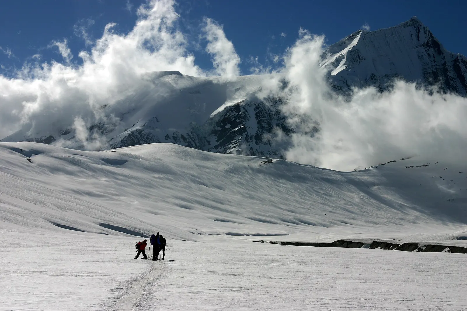
A remote camping trek from the Myagdi valley to Dhaulagiri Base Camp, over French Pass (about 5,360 m) into Hidden Valley and over Dhampus Pass to Marpha in Mustang.
A short trek in Lower Mustang from Jomsom via Kagbeni to the Muktinath temple (about 3,760 m) and back through Marpha, with flights from and to Pokhara.
Take the short morning flight to Jomsom, or travel by bus and jeep via Beni, roughly 7-10 hours. Jomsom is the base for Marpha, Kagbeni, Muktinath and Upper Mustang.
Yes, an Annapurna Conservation Area permit covers Lower Mustang. Upper Mustang north of Kagbeni also requires a restricted area permit arranged through a registered agency.
Lower Mustang, around Jomsom and Marpha, is open to all visitors and largely Thakali. Upper Mustang, the old Kingdom of Lo north of Kagbeni, is restricted and Tibetan-speaking.
Spring and autumn are the most popular. The district lies in a rain shadow, so it is also visited during the monsoon, though the road can be affected by landslides.
No. It is a restricted area. You need a Restricted Area Permit issued through a registered trekking agency, a licensed guide, and at least two travellers in the group, plus an ACAP permit.
The Department of Immigration has set the Restricted Area Permit for Upper Mustang at US$500 per person for the first 10 days, with a daily charge after that. Rules and fees change, so confirm with your agency or the Department of Immigration before you go.
Yes. Upper Mustang gets far less rain than the south side of the Himalaya and is often visited from June to August. Flights to Jomsom and the roads from Pokhara can still be disrupted by weather on the way in.
Town or village · 2,804 m
A medieval mud-brick village at the confluence of two rivers, the gateway between Lower and Upper Mustang.
Temple, monastery or heritage site · 3,762 m
A high temple complex below the Thorong La, sacred to Hindus as Mukti Kshetra and to Buddhists as Chumig Gyatsa.
Town or village · 2,670 m
A Thakali village of whitewashed stone houses, flagstone lanes and apple orchards in the Kali Gandaki valley.