A teahouse journey around the Annapurna massif, from the green Marsyangdi valley through Manang and over the Thorong La (5,416 m) to Muktinath and the dry Kali Gandaki valley.
- Days
- 11 days
- Maximum altitude
- 5,416 m
- Difficulty
- Strenuous
Manangथोरोङ फेदी
The lodges at the foot of the Thorong La, where Annapurna Circuit trekkers sleep before the pre-dawn climb to the pass.
Thorong Phedi, phedi meaning the foot of a hill, is a small group of lodges at the head of the Jharsang Khola valley at about 4,450-4,540 m, directly below the steep climb to the Thorong La. It is the last overnight stop on the eastern side of the pass for most trekkers on the Annapurna Circuit.
From here the climb to the pass at 5,416 m usually takes 4-5 hours, starting before dawn to cross before the wind rises. Some trekkers walk on for about an hour to Thorong High Camp (about 4,800-4,880 m) to shorten the pass day, at the cost of sleeping higher. The evening atmosphere is busy with trekkers preparing gear and checking the weather.
Thorong Phedi has no village history; it grew from herders' shelters into a lodge stop serving the pass. The Thorong La has long been a trade and pilgrimage route between Manang and Muktinath, used by herders and pilgrims before trekking began. In October 2014 a severe blizzard linked to Cyclone Hudhud trapped many trekkers around the pass, and dozens of people died, which led to more attention to weather warnings and shelter on both sides.
Prepare for the pass
Check the weather with lodge staff and other groups, pack warm layers and a headlamp, and plan an early start, usually around 4-5 am.
Short acclimatisation climb
Walk partway up towards High Camp in the afternoon and come back down to sleep.
Forecast for 4,540 m. Conditions change fast in the mountains.
Weather data: MET Norway, licensed CC BY 4.0. A forecast, not a guarantee.
Mar-May, Oct-Nov
Two or three large lodges that fill up in peak season; arrive early. High Camp has one or two more.
No partner stays are listed here yet. List a property.
Reached only on foot, usually from Yak Kharka.
Nearest hub: Manang
Permit required
Inside the Annapurna Conservation Area, so an ACAP permit is required.
Verify before travel: permit rules and fees change. Checked 2026-10-06 against National Trust for Nature Conservation (ACAP).
On the Annapurna Circuit, Tilicho Lake trek (when continuing over the pass).
A teahouse journey around the Annapurna massif, from the green Marsyangdi valley through Manang and over the Thorong La (5,416 m) to Muktinath and the dry Kali Gandaki valley.
About 4,450-4,540 m depending on the source, roughly 900-1,000 m below the Thorong La.
Phedi is lower, which is better for sleep and acclimatisation; High Camp shortens the pass day by about an hour. Choose based on how you feel.
Most groups leave between about 4 and 5 am to cross before the wind builds around midday.
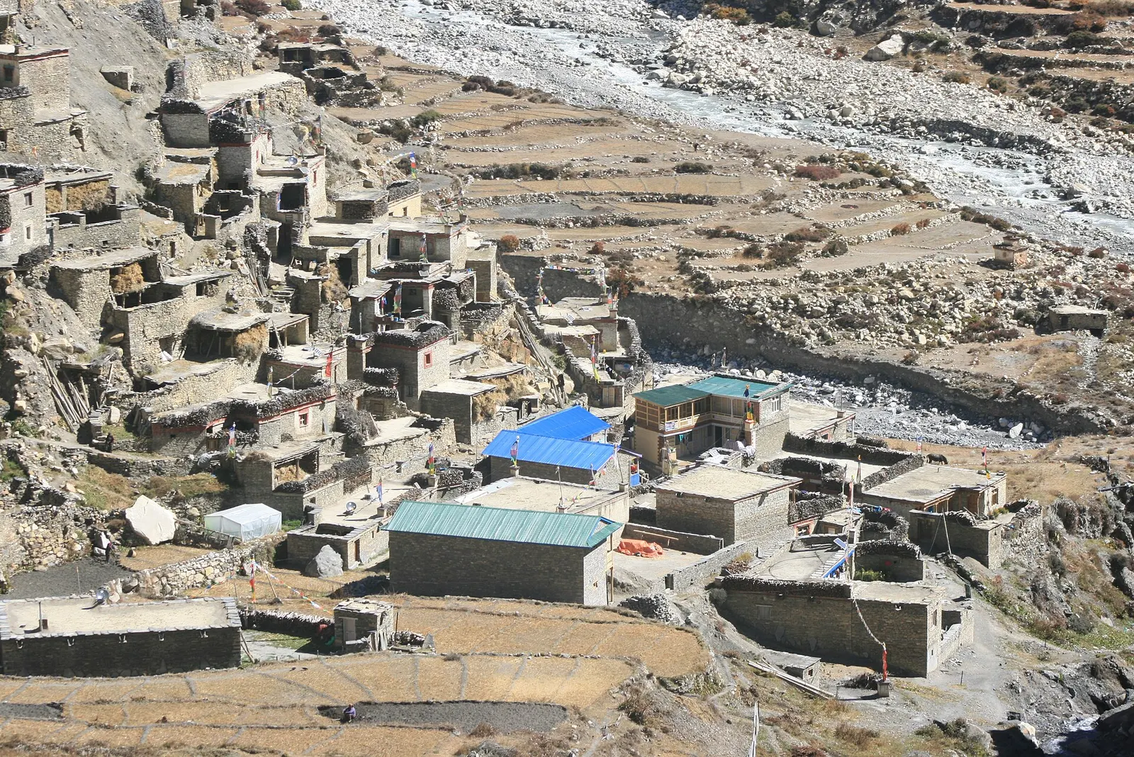
Valley or region · 4,150 m
A restricted high valley north of the Annapurna Circuit, with two old Tibetan Buddhist villages, Nar and Phu, reached through a narrow gorge from Koto.
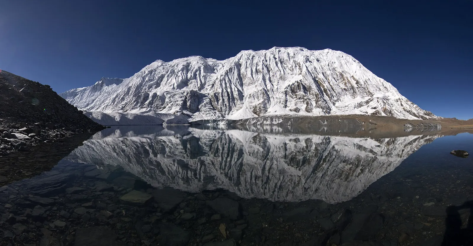
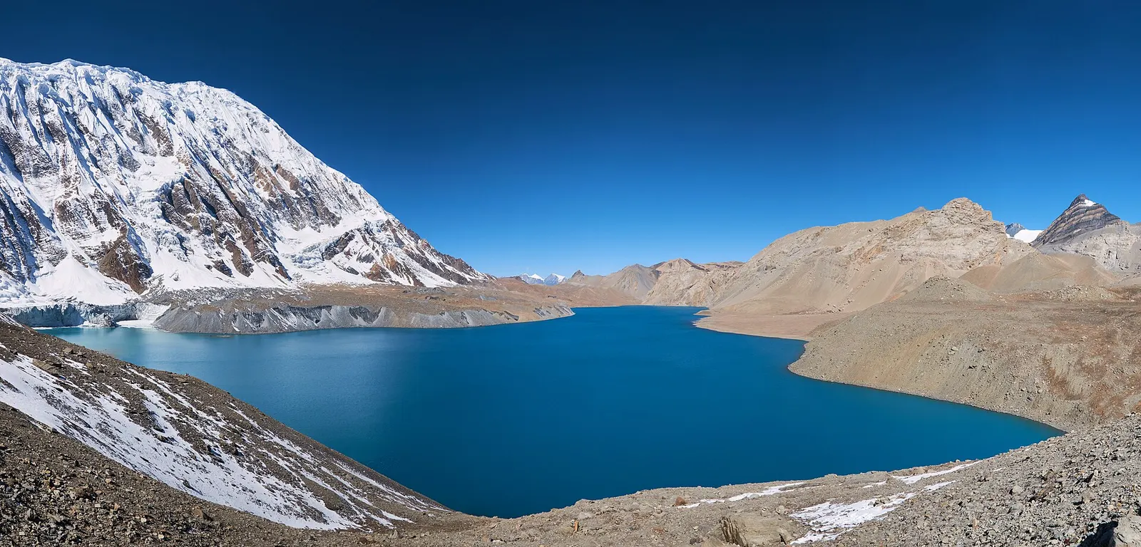
Lake · 4,919 m
A glacial lake at about 4,920 m beneath the ice walls of Tilicho Peak, reached on a demanding side trip from Manang.
Trek stop · 2,670 m
The district headquarters of Manang, a road-head town in fir and pine forest where most Annapurna Circuit trekkers spend a night.
Trek stop · 1,900 m
A Marsyangdi valley village where the Manaslu Circuit joins the Annapurna Circuit road.
Trek stop · 2,600 m
A small village in pine and fir forest on the Annapurna Circuit, just below Chame, and the start of the trail into the Nar Phu valley.
Trek stop · 3,660 m
A stone village high on the north side of the Manang valley, on the upper Annapurna Circuit route and at the foot of the Kang La from Nar.
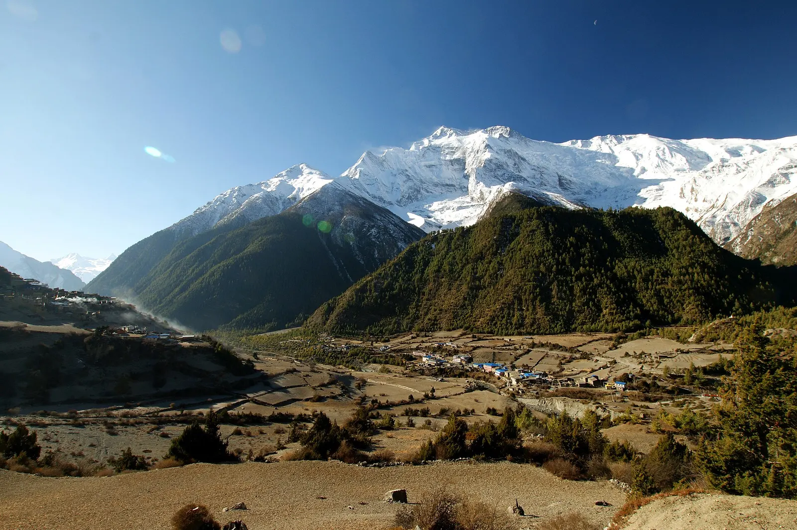
Trek stop · 3,300 m
Twin villages in the upper Marsyangdi, where the old stone houses of Upper Pisang look across to Annapurna II.
Trek stop · 4,070 m
A small lodge stop in high pasture west of Manang, on the trail to Tilicho Base Camp and Tilicho Lake.
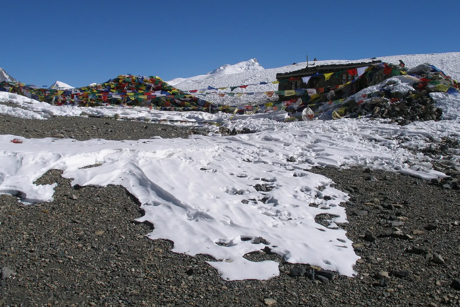
Mountain pass · 5,416 m
The 5,416 m pass between Manang and Muktinath, the high point of the Annapurna Circuit.
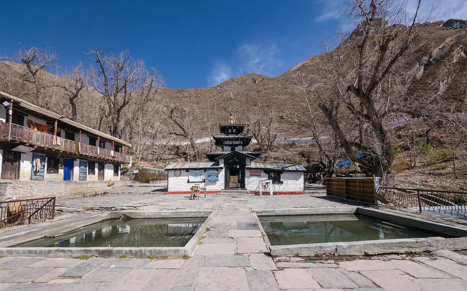
Temple, monastery or heritage site · 3,762 m
A high temple complex below the Thorong La, sacred to Hindus as Mukti Kshetra and to Buddhists as Chumig Gyatsa.
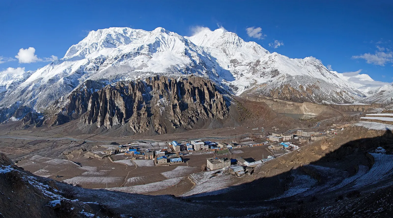
Town or village · 3,519 m
A high stone village in the upper Marsyangdi valley below Annapurna III and Gangapurna, where Circuit trekkers stop to acclimatise.