


A teahouse journey around the Annapurna massif, from the green Marsyangdi valley through Manang and over the Thorong La (5,416 m) to Muktinath and the dry Kali Gandaki valley.
- Days
- 11 days
- Maximum altitude
- 5,416 m
- Difficulty
- Strenuous
Manangतिलिचो ताल
A glacial lake at about 4,920 m beneath the ice walls of Tilicho Peak, reached on a demanding side trip from Manang.
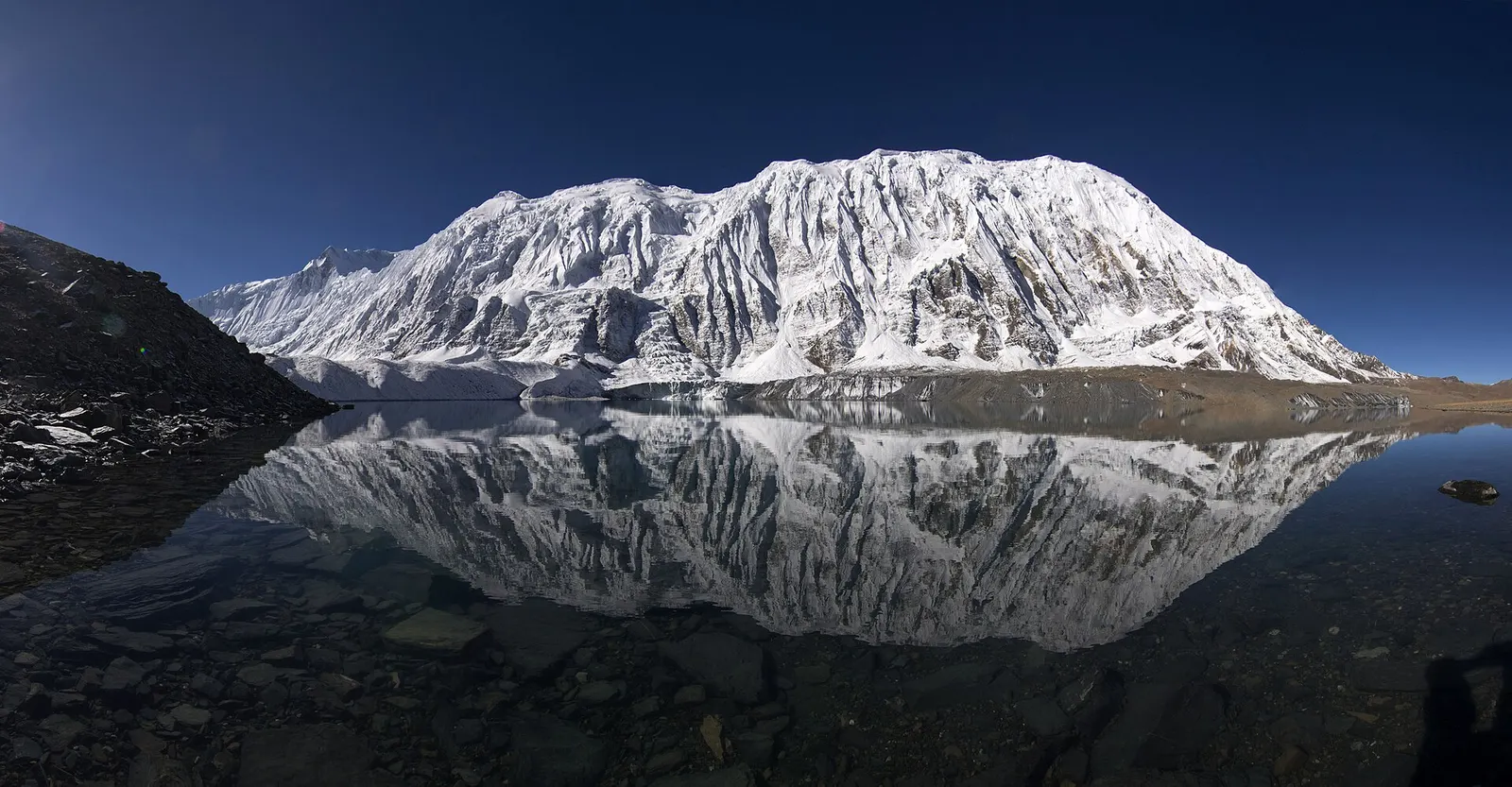
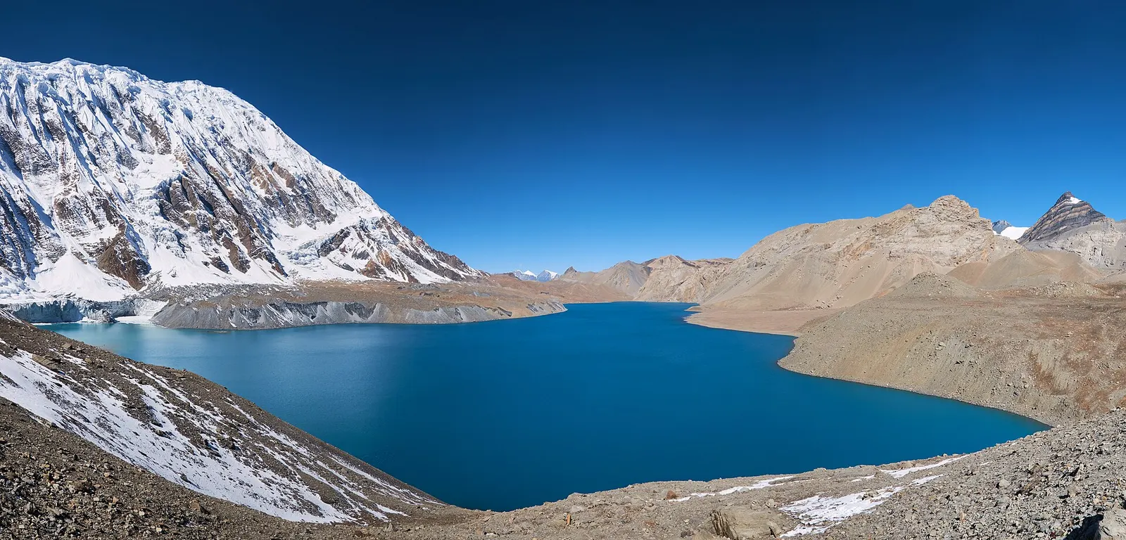
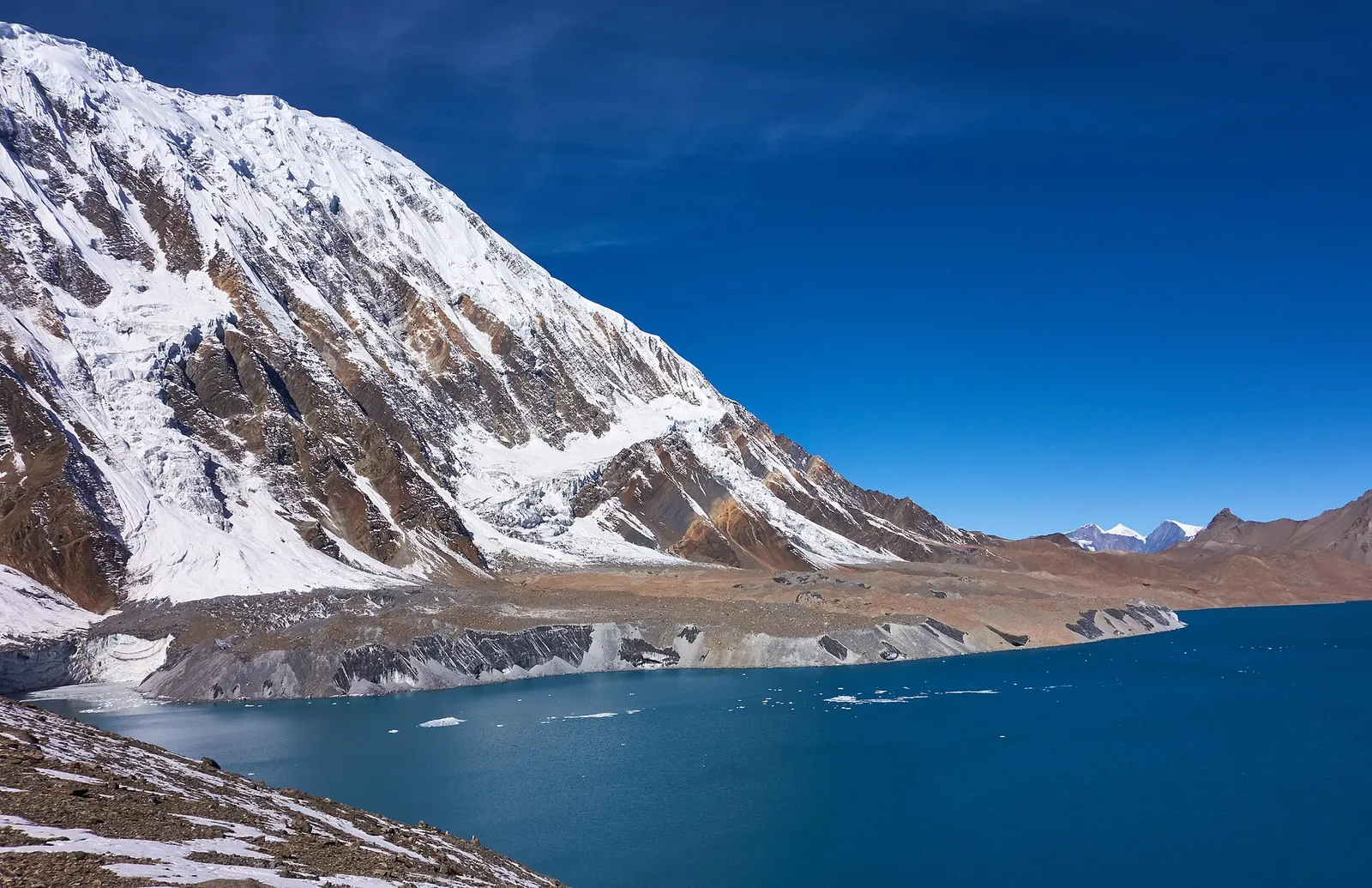
Tilicho Lake lies in a high basin west of Manang village, at about 4,920 m, directly below the glaciers and cliffs of Tilicho Peak and the Grand Barrier ridge. It is one of the highest lakes of its size in the world, and its deep blue water, frozen for much of the winter, reflects the ice walls that fall straight into it. It is the best-known side trip from Manang on the Annapurna Circuit.
The usual approach takes two to three extra days. From Manang the trail goes west through Khangsar to Shree Kharka (about 4,050 m) and Tilicho Base Camp (about 4,100-4,200 m), crossing a steep, unstable scree slope prone to rockfall and landslides. From base camp, a steep climb of around 5 km and 800 m leads to the lake shore; most people go up at dawn and return to base camp or Shree Kharka the same day, before rejoining the Circuit at Yak Kharka.
There is no accommodation at the lake, and wind and cloud build quickly after mid-morning. A few groups continue west over the high Mesokanto La and the Tilicho Pass towards Jomsom on a camping route, which needs full mountaineering support.
Hindus identify Tilicho with Kak Bhusundi Lake of the Ramayana tradition. In this legend the sage Kak Bhusundi, taking the form of a crow, first narrated the story of the Ramayana to Garuda, king of birds, beside the lake. Pilgrims visit, especially in autumn.
The lake has attracted adventurers as well as pilgrims: in 2000 a Russian team made scuba dives in the lake that were reported as the highest-altitude dives on record at the time. Nepal's hydrology department has reported no aquatic life in the lake, though blue sheep, Himalayan snowcock and other alpine wildlife live around it.
Dawn climb from base camp
Start before first light for the steep 3-4 hour climb, reaching the shore before wind and cloud build after mid-morning.
Wildlife spotting
Watch for blue sheep and yak on the slopes between Shree Kharka and base camp.
Rejoin the Circuit
Return via Shree Kharka and cross to Yak Kharka rather than retracing all the way to Manang.
Forecast for 4,919 m. Conditions change fast in the mountains.
Weather data: MET Norway, licensed CC BY 4.0. A forecast, not a guarantee.
Apr-May, Oct-Nov
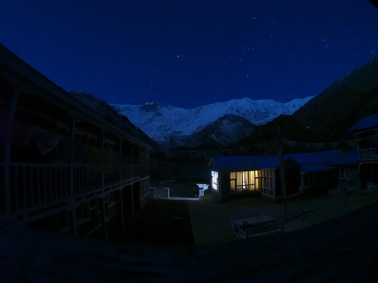
No accommodation at the lake; a small seasonal tea shop may operate. Lodges at Tilicho Base Camp and Shree Kharka are basic and fill quickly in peak season.
No partner stays are listed here yet. List a property.
Reach Manang on the Annapurna Circuit, then walk west via Khangsar and Shree Kharka to Tilicho Base Camp and up to the lake.
Nearest hub: Pokhara
Permit required
Tilicho Lake is inside the Annapurna Conservation Area; an ACAP permit is required.
Verify before travel: permit rules and fees change. Checked 2026-10-06 against Annapurna Conservation Area Project, NTNC.
On the Annapurna Circuit (Tilicho side trip), Tilicho Lake trek.
A teahouse journey around the Annapurna massif, from the green Marsyangdi valley through Manang and over the Thorong La (5,416 m) to Muktinath and the dry Kali Gandaki valley.
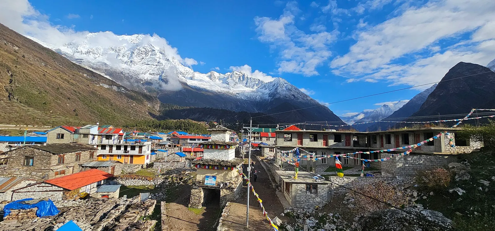
A restricted-area teahouse trek around Manaslu (8,163 m), up the Budhi Gandaki gorge through Gurung and Nubri villages, over the Larkya La (about 5,106 m) and down to Dharapani on the Annapurna Circuit.
A restricted-area trek from Koto on the Annapurna Circuit into the high Tibetan Buddhist villages of Phu and Nar, crossing the Kang La (about 5,320 m) to Ngawal and Manang.
About 4,919 m according to most sources, with one listing 4,949 m.
Usually 2-3 extra days from Manang, via Shree Kharka and Tilicho Base Camp, rejoining the Circuit at Yak Kharka.
It is often promoted that way, but it is more accurate to call it one of the highest lakes of its size.
Yes, an ACAP permit; check the current TIMS and guide rules.
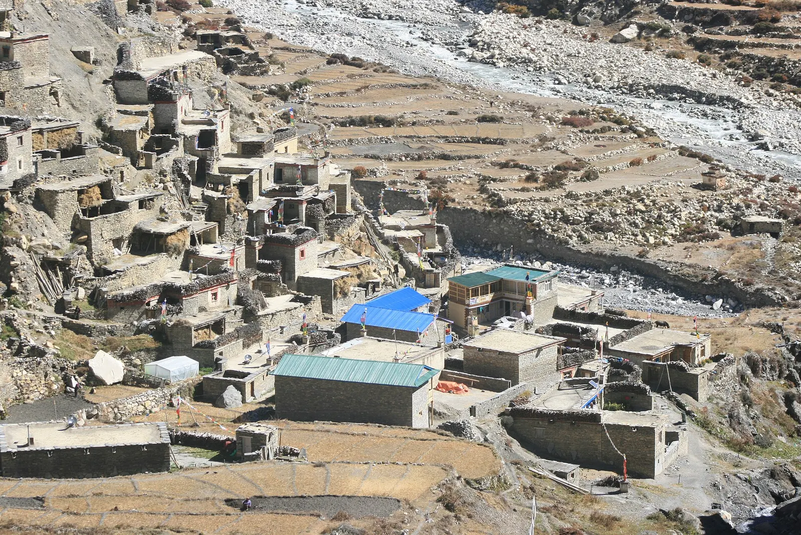
Valley or region · 4,150 m
A restricted high valley north of the Annapurna Circuit, with two old Tibetan Buddhist villages, Nar and Phu, reached through a narrow gorge from Koto.
Trek stop · 2,670 m
The district headquarters of Manang, a road-head town in fir and pine forest where most Annapurna Circuit trekkers spend a night.
Trek stop · 1,900 m
A Marsyangdi valley village where the Manaslu Circuit joins the Annapurna Circuit road.
Trek stop · 2,600 m
A small village in pine and fir forest on the Annapurna Circuit, just below Chame, and the start of the trail into the Nar Phu valley.
Trek stop · 3,660 m
A stone village high on the north side of the Manang valley, on the upper Annapurna Circuit route and at the foot of the Kang La from Nar.
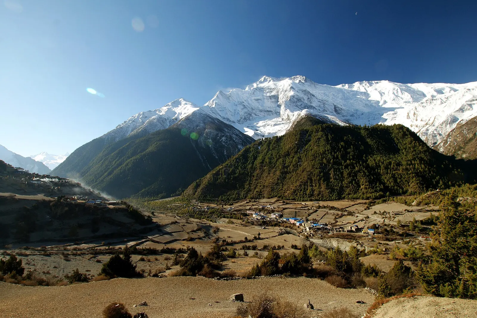
Trek stop · 3,300 m
Twin villages in the upper Marsyangdi, where the old stone houses of Upper Pisang look across to Annapurna II.
Trek stop · 4,070 m
A small lodge stop in high pasture west of Manang, on the trail to Tilicho Base Camp and Tilicho Lake.
Trek stop · 4,540 m
The lodges at the foot of the Thorong La, where Annapurna Circuit trekkers sleep before the pre-dawn climb to the pass.
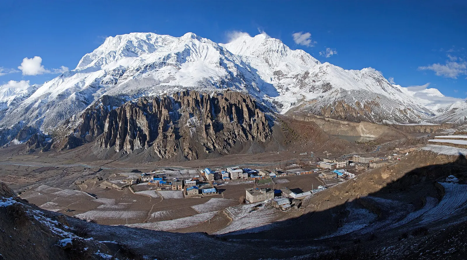
Town or village · 3,519 m
A high stone village in the upper Marsyangdi valley below Annapurna III and Gangapurna, where Circuit trekkers stop to acclimatise.
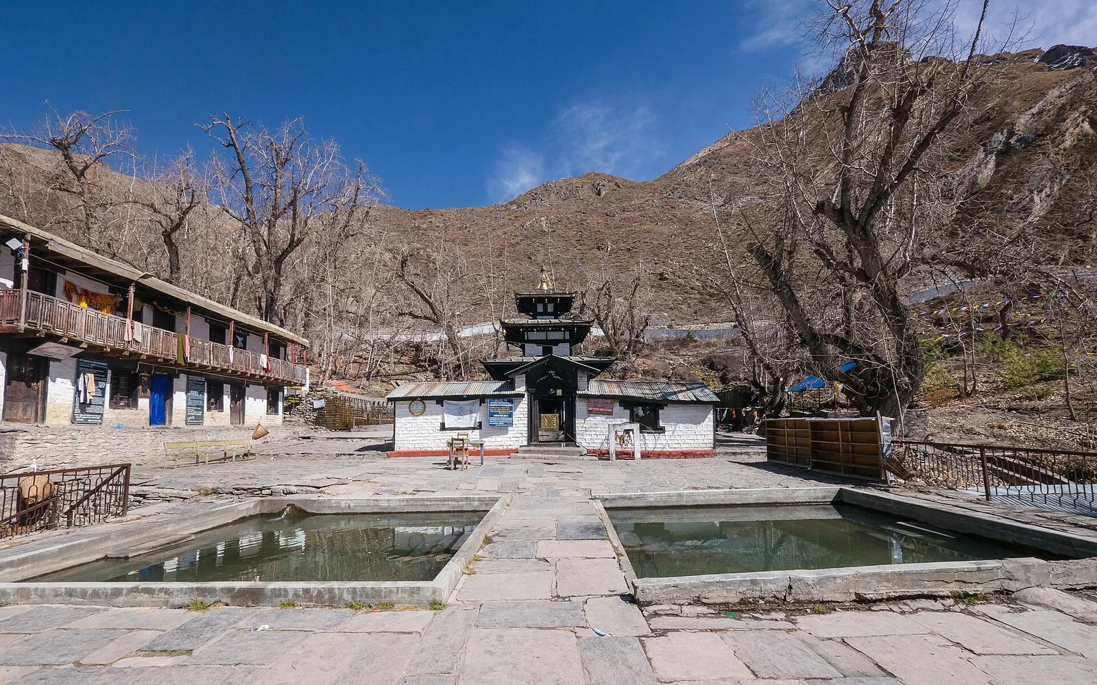
Temple, monastery or heritage site · 3,762 m
A high temple complex below the Thorong La, sacred to Hindus as Mukti Kshetra and to Buddhists as Chumig Gyatsa.
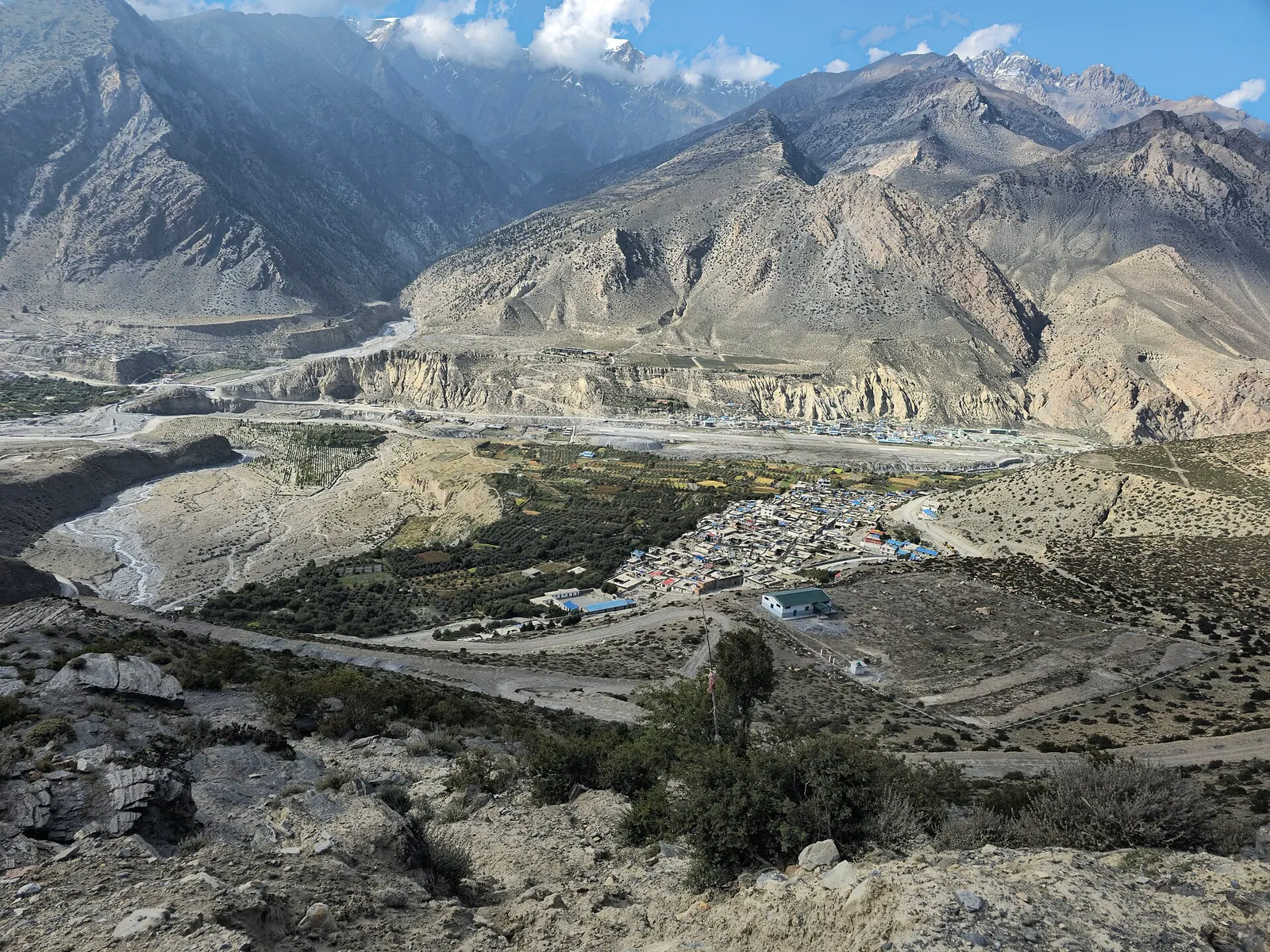
Town or village · 2,743 m
Mustang's headquarters and airstrip town on the Kali Gandaki, under the walls of Nilgiri and Dhaulagiri.