

Trek stop · 3,560 m
Meta
A winter settlement on a high open shelf in the Nar Phu valley, usually the first overnight stop after Koto.
Manangनार-फू उपत्यका
A restricted high valley north of the Annapurna Circuit, with two old Tibetan Buddhist villages, Nar and Phu, reached through a narrow gorge from Koto.
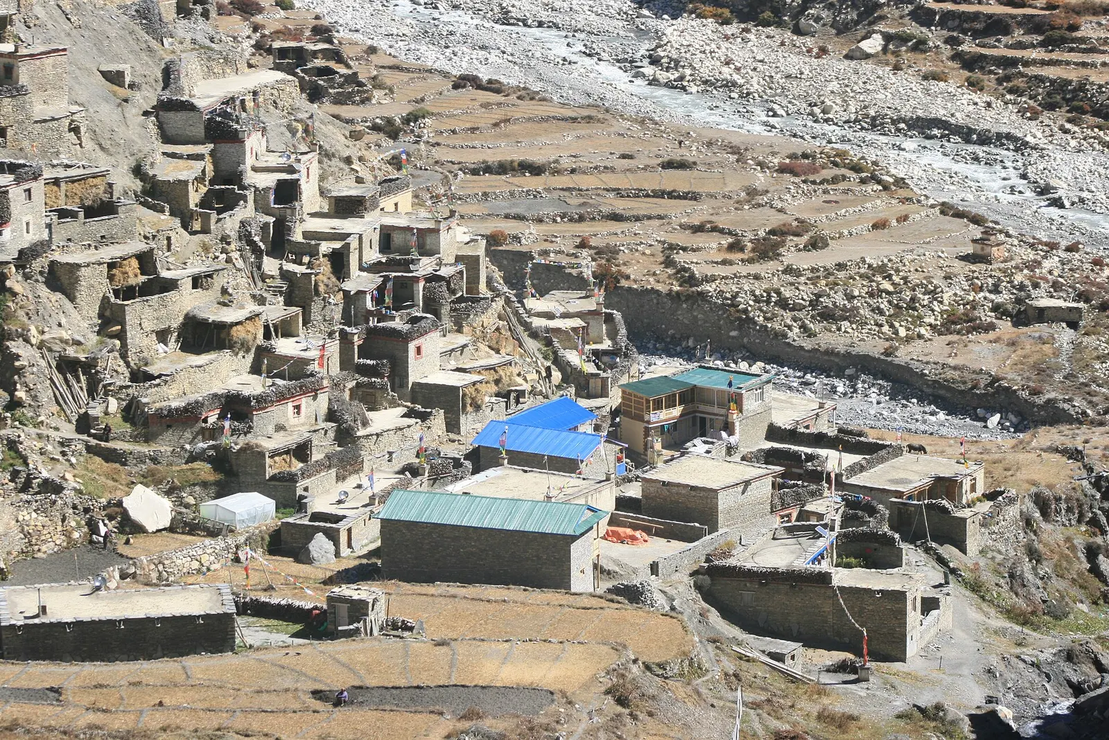
The Nar Phu valley is a side valley of the upper Marsyangdi in Manang district, running north towards the Tibetan border from the Annapurna Circuit. It is part of the wider Manang area and is entered at Koto, just below Chame, through a deep, forested gorge that opens into a dry, rocky landscape similar to Upper Mustang. The two main villages, Nar at about 4,150 m and Phu at about 4,050 m, sit above 4,000 m among barren cliffs, yak pastures and peaks such as Himlung, Kang Guru and Pisang Peak.
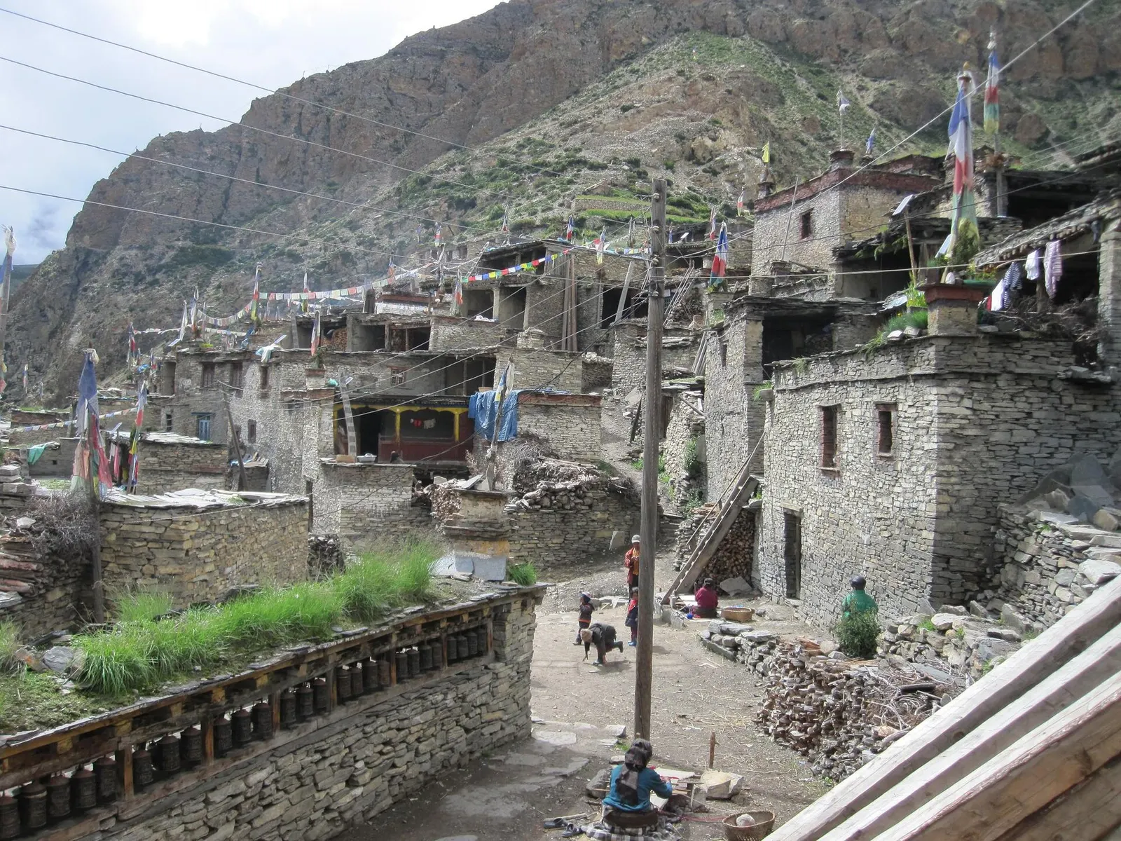
The valley was opened to foreign trekkers only in 2002 and remains a restricted area, so visitor numbers are low and the villages have kept much of their traditional character: stone and mud houses with flat roofs, prayer flags, mani walls and gompas of the Nyingma school. Phu stands like a fortress on a hill above its river, with Tashi Lhakhang and Yul gompa nearby, while Nar is a compact village with several monasteries and long rows of prayer wheels.
A typical trip takes about 7-9 days from Koto, spending time in both villages to acclimatise before crossing the Kang La (about 5,320 m) and descending to Ngawal on the main Annapurna Circuit, often continuing to Manang and over the Thorong La.
Trek stop · 3,560 m
A winter settlement on a high open shelf in the Nar Phu valley, usually the first overnight stop after Koto.
Trek stop · 4,080 m
A high stone village near the head of the Nar Phu valley, reached through a fortress-like gateway above the Phu Khola.
The people of Nar and Phu are of Tibetan origin and speak a Tibetic language. Villagers say their ancestors came from Tibet around a thousand years ago, while official accounts place their arrival in the 17th or 18th century. Before adopting Buddhism they followed Bon, and local oral history recalls old customs, including sacrifice, that were later abandoned. Village life combines yak herding, barley farming and seasonal trade, and many families now spend winters lower down the valley.
Today the valley falls within Narpa Bhumi Rural Municipality. Festivals and monastery rituals follow the Tibetan calendar, and visitors should expect a conservative, close-knit community where respect for religious sites is important.
Explore Phu village
Spend a rest day in Phu, visiting the hilltop gompa and the old village perched above the river.
Nar village and monasteries
Visit Nar's gompas and prayer-wheel walls; ask before entering and photographing.
Cross Kang La
Climb from Nar to the 5,320 m Kang La and descend to Ngawal on the Annapurna Circuit; a long, high day needing good acclimatisation.
Forecast for 4,150 m. Conditions change fast in the mountains.
Weather data: MET Norway, licensed CC BY 4.0. A forecast, not a guarantee.
Apr-May, Sep-Nov
Basic lodges and homestays operate in Meta, Phu, Nar and other stops in season; some groups camp with porters and a cook.
No partner stays are listed here yet. List a property.
Travel to Besisahar by road, continue up the Marsyangdi to Koto near Chame by jeep or on foot, and trek into the valley from there.
Nearest hub: Pokhara
Restricted-area permit
Nar Phu is a restricted area. A Restricted Area Permit and an ACAP permit are required, trekkers must be in a group of at least two with a licensed guide, and permits are arranged through a registered trekking agency.
Verify before travel: permit rules and fees change. Checked 2026-10-06 against Department of Immigration, Nepal.
On the Nar Phu valley trek, Nar Phu and Annapurna Circuit.
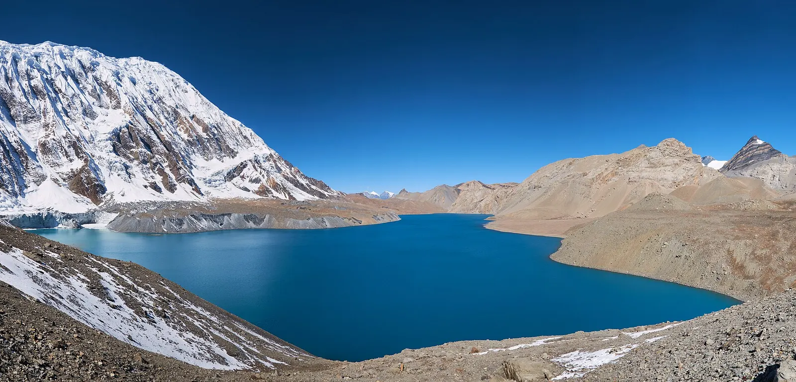
A teahouse journey around the Annapurna massif, from the green Marsyangdi valley through Manang and over the Thorong La (5,416 m) to Muktinath and the dry Kali Gandaki valley.
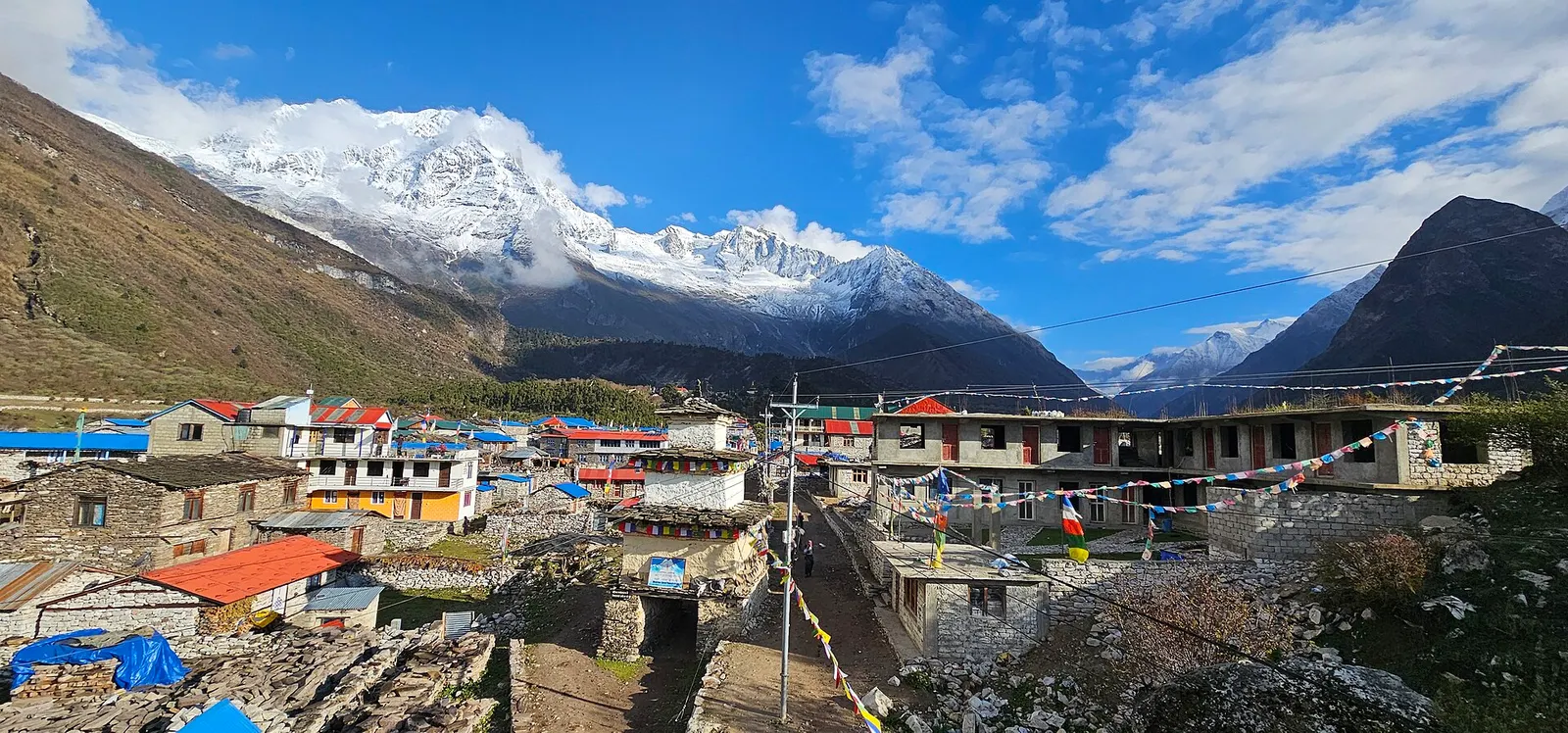
A restricted-area teahouse trek around Manaslu (8,163 m), up the Budhi Gandaki gorge through Gurung and Nubri villages, over the Larkya La (about 5,106 m) and down to Dharapani on the Annapurna Circuit.
A restricted-area trek from Koto on the Annapurna Circuit into the high Tibetan Buddhist villages of Phu and Nar, crossing the Kang La (about 5,320 m) to Ngawal and Manang.
Yes, a Restricted Area Permit plus an ACAP permit, arranged through a registered agency; you need at least two trekkers and a licensed guide.
At Koto, just below Chame in the Marsyangdi valley, reached by jeep from Besisahar.
About 7-9 days from Koto to Ngawal over the Kang La, longer if combined with the Annapurna Circuit.
Nar is about 4,150 m and Phu about 4,050 m; the Kang La pass is about 5,320 m, so altitude sickness is a real risk.
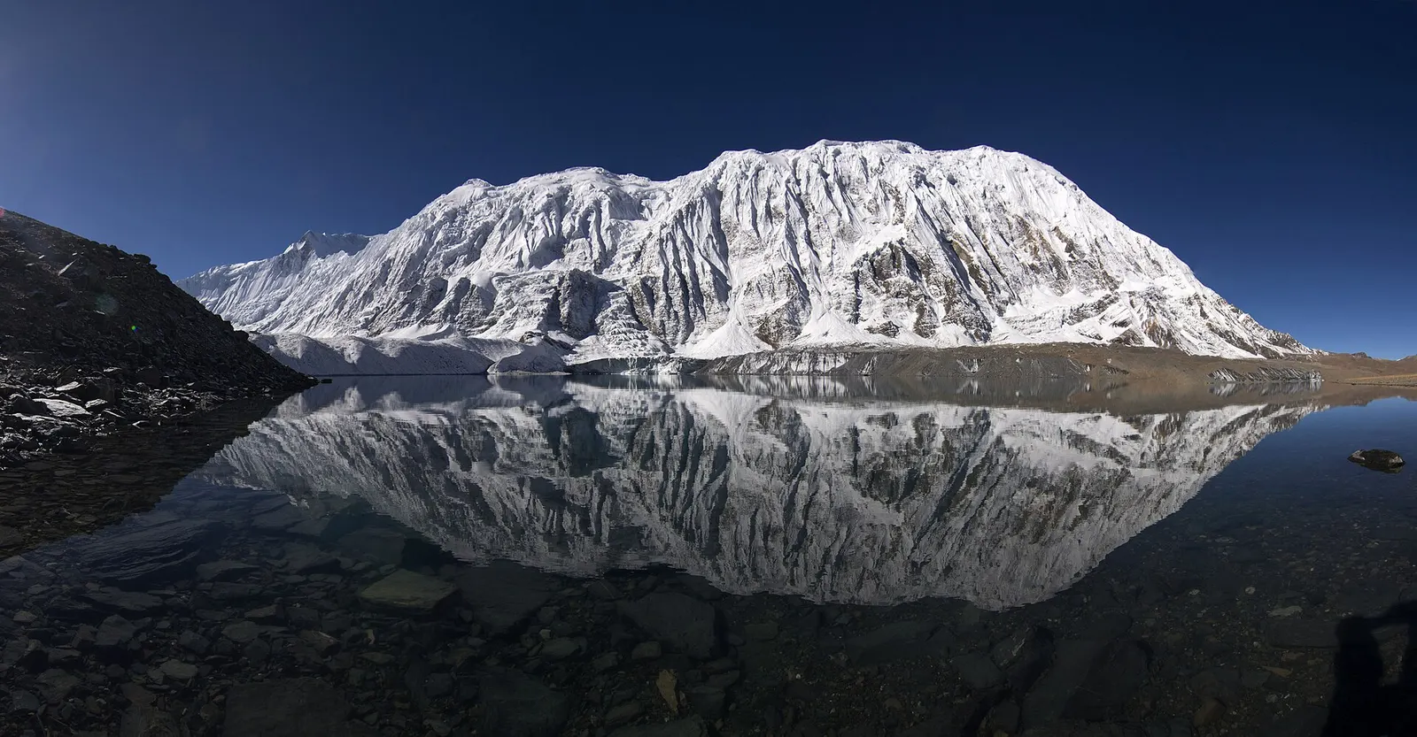
Lake · 4,919 m
A glacial lake at about 4,920 m beneath the ice walls of Tilicho Peak, reached on a demanding side trip from Manang.
Trek stop · 2,670 m
The district headquarters of Manang, a road-head town in fir and pine forest where most Annapurna Circuit trekkers spend a night.
Trek stop · 1,900 m
A Marsyangdi valley village where the Manaslu Circuit joins the Annapurna Circuit road.
Trek stop · 2,600 m
A small village in pine and fir forest on the Annapurna Circuit, just below Chame, and the start of the trail into the Nar Phu valley.
Trek stop · 3,660 m
A stone village high on the north side of the Manang valley, on the upper Annapurna Circuit route and at the foot of the Kang La from Nar.
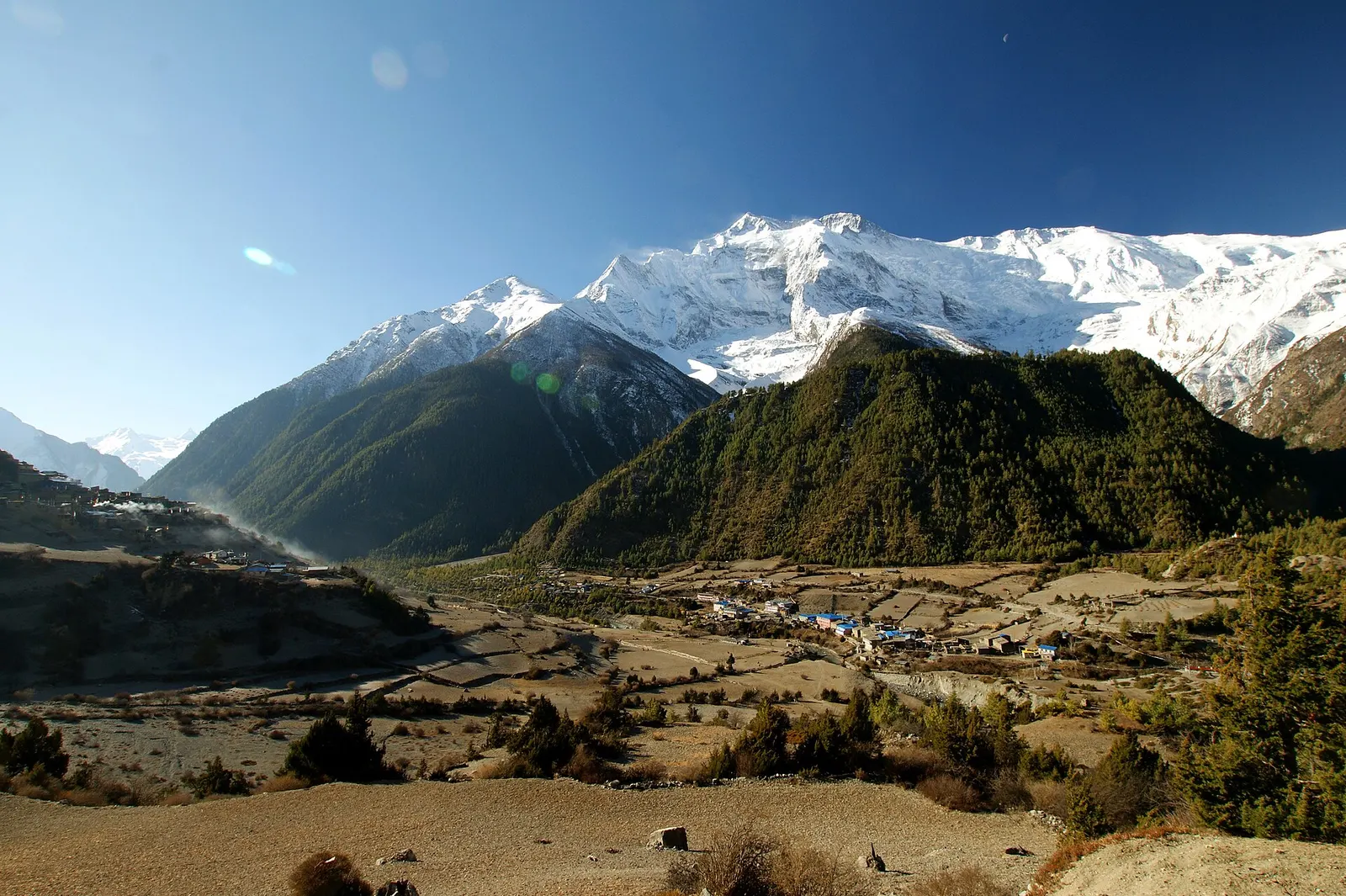
Trek stop · 3,300 m
Twin villages in the upper Marsyangdi, where the old stone houses of Upper Pisang look across to Annapurna II.
Trek stop · 4,070 m
A small lodge stop in high pasture west of Manang, on the trail to Tilicho Base Camp and Tilicho Lake.
Trek stop · 4,540 m
The lodges at the foot of the Thorong La, where Annapurna Circuit trekkers sleep before the pre-dawn climb to the pass.
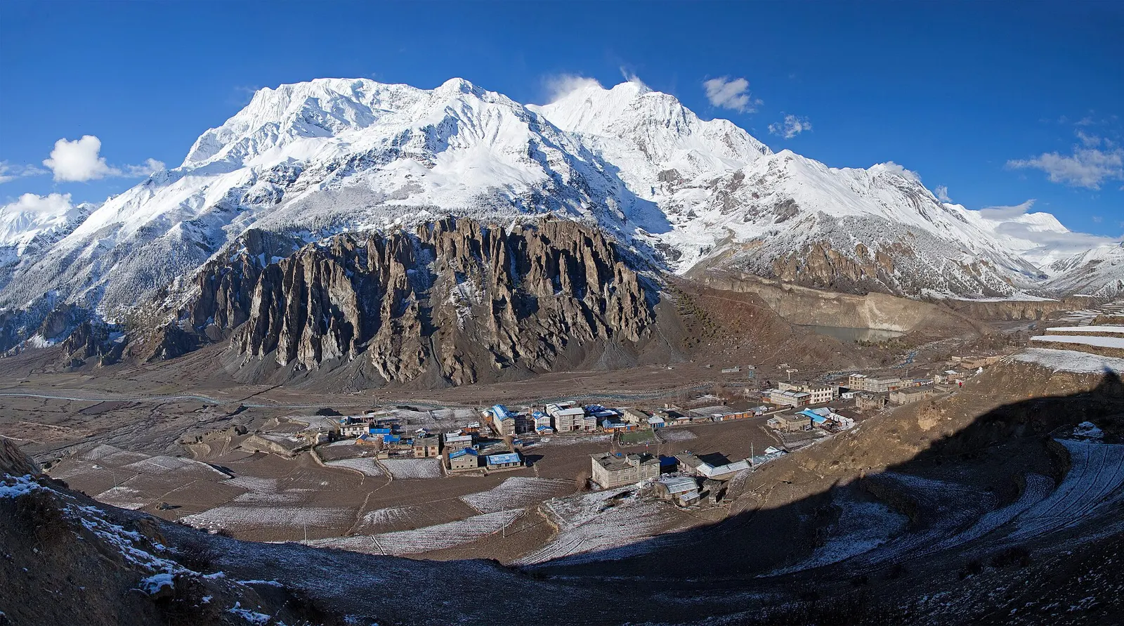
Town or village · 3,519 m
A high stone village in the upper Marsyangdi valley below Annapurna III and Gangapurna, where Circuit trekkers stop to acclimatise.
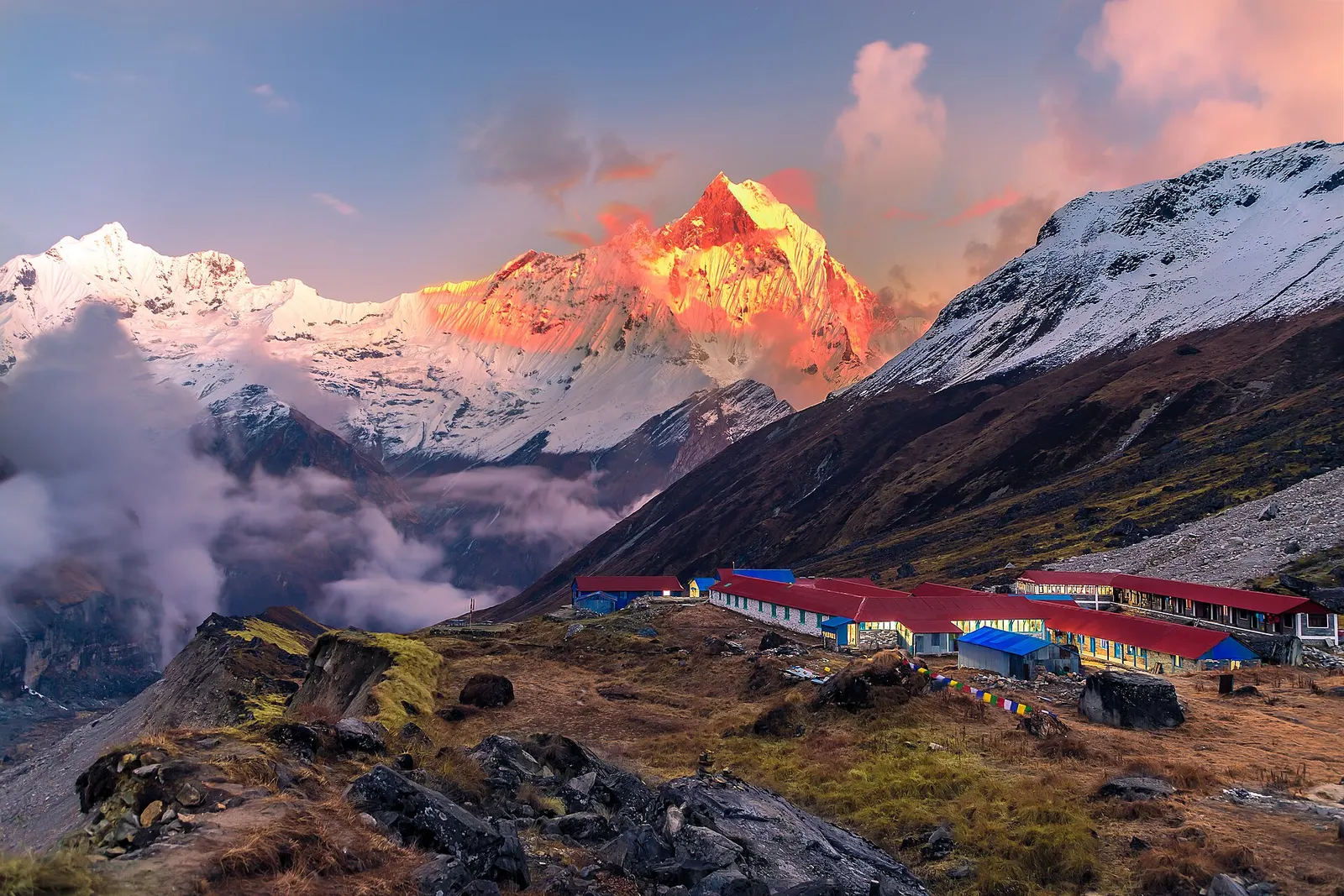
National park or conservation area
Nepal's largest protected area, from Gurung hill villages and rhododendron forest to the dry valleys behind the Annapurna range.