
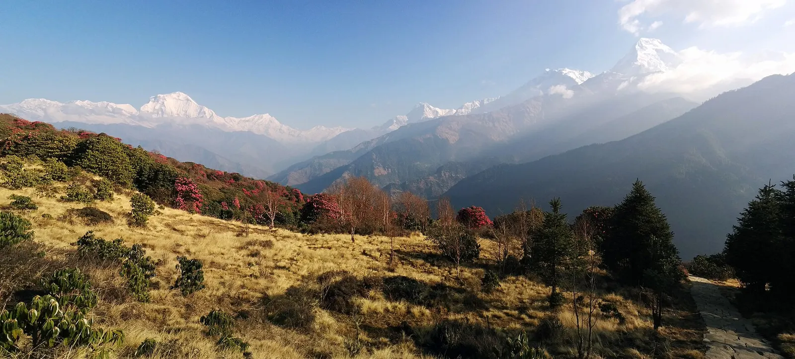
A short teahouse loop from Pokhara through Magar and Gurung villages and rhododendron forest to Ghorepani and the Poon Hill viewpoint (3,210 m), returning via Tadapani and Ghandruk.
- Days
- 4 days
- Maximum altitude
- 3,210 m
- Difficulty
- Easy
Pokhara & Annapurna, Annapurna Region
A teahouse trek from the road heads north of Pokhara through Gurung villages and the bamboo forest of the Modi Khola gorge into the Annapurna Sanctuary, to Annapurna Base Camp at about 4,130 m.
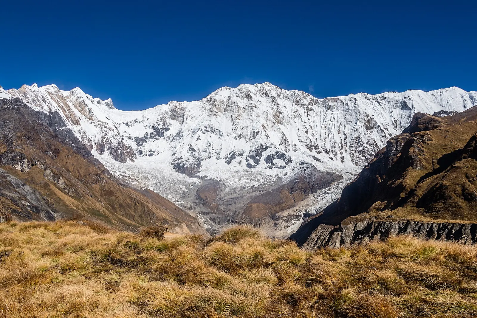
The Annapurna Base Camp trek climbs from the farmland north of Pokhara through the Gurung villages of Ghandruk and Chhomrong, then follows the narrow Modi Khola gorge north into the Annapurna Sanctuary, a high glacial basin closed in by Annapurna I, Annapurna South, Hiunchuli, Gangapurna and Machhapuchhre.
Above Chhomrong there is a single trail up the valley, with lodge stops at Sinuwa, Bamboo, Dobhan, Himalaya and Deurali before the gorge opens at Machhapuchhre Base Camp (about 3,700 m). Annapurna Base Camp (about 4,130 m) sits on the moraine about two hours further on, below the south face of Annapurna I.
The route has many long stone staircases, especially around Chhomrong and Sinuwa, and the last day up gains a lot of height. Jeep roads now reach Ghandruk, Kimche and the Jhinu Danda area, so the trek can be done in 7-8 days from Pokhara, or extended with Poon Hill at the start.
Why it is rated moderate
Sleeping altitude for each night. The dashed lines at 3,000 m and 4,000 m mark heights where altitude illness becomes more common. General information only, not medical advice.
Hover, tap or use the arrow keys to see each day. Shaded columns are acclimatisation days.
| Day | Overnight | Sleeping altitude | High point |
|---|---|---|---|
| 1 | Ghandruk | 2,012 m | - |
| 2 | Chhomrong | 2,170 m | - |
| 3 | Bamboo | 2,310 m | - |
| 4 | Deurali | 3,200 m | - |
| 5 | Annapurna Base Camp | 4,130 m | - |
| 6 | Bamboo | 2,310 m | - |
| 7 | Jhinu Danda | 1,780 m | - |
| 8 | Pokhara | 822 m | - |
Drive about 2-3 hours to Kimche (or further to Ghandruk), then walk up through terraced fields to the stone-built Gurung village of Ghandruk. Without the jeep, the walk from Nayapul via Birethanti takes most of a day.
Teahouse in GhandrukAbout Ghandruk
Climb over the Komrong Danda ridge, drop steeply to the Kimrong Khola and climb again to Chhomrong, with close views of Annapurna South and Hiunchuli. Chhomrong has the last ACAP checkpoint and the last wide choice of lodges.
Teahouse in ChhomrongAbout Chhomrong
Down a long stone staircase to the Chhomrong Khola, up to Sinuwa (about 2,360 m) and on through forest past Kuldighar, then down to the lodges at Bamboo in the Modi Khola gorge. No plastic water bottles are sold above Chhomrong.
Teahouse in BambooAbout Bamboo
Through Dobhan and Himalaya, out of the forest past the overhang of Hinku Cave to Deurali. Ask at the lodges about snow and avalanche conditions before going higher.
Teahouse in DeuraliAbout Deurali
Past Bagar to Machhapuchhre Base Camp (about 3,700 m), then up the broad moraine into the Sanctuary. This day raises sleeping altitude by about 900 m: anyone with symptoms should stop at Machhapuchhre Base Camp.
Lodge at Annapurna Base CampAbout Annapurna Base Camp
Watch the sun reach Annapurna I and Annapurna South, then retrace the route down the gorge. It is a long descent; some groups stop at Dobhan or Himalaya instead.
Teahouse in BambooAbout Bamboo
Back up to Sinuwa and Chhomrong, then down the staircases to Jhinu Danda. The natural hot pools by the Modi Khola are about 20-30 minutes below the village.
Teahouse in Jhinu Danda
A short walk down to the jeep road near the suspension bridge below Jhinu Danda, then about 3-4 hours by jeep to Pokhara. Road heads move as roads are extended, so confirm the pick-up point locally.
Hotel in Pokhara
Stages, times and altitudes vary by operator, weather and pace. Partner agencies confirm the exact plan.
Trail geometry from OpenStreetMap.
ACAP entry permit (Annapurna Conservation Area)Conservation area
Issued by the National Trust for Nature Conservation, which runs the Annapurna Conservation Area Project, at its offices in Kathmandu and Pokhara or through its online e-permit system. Carry it with your passport; it is checked at trail posts. Checkpoints on this route include Birethanti, Ghandruk and Chhomrong.
TIMS cardTrekker card
Check whether a TIMS card is currently required; since 2023 it has been issued through registered trekking agencies.
Verify before travel: permit rules and fees change. Checked 2026-10-06 against National Trust for Nature Conservation (Annapurna Conservation Area Project, e-permit links). Guide rule: Nepal bans solo trekking for tourists, guides mandatory from April 1 (The National, March 2023).
Nepal trekking permits explainedBest months: Mar-May, Oct-Nov
Forecasts for start (Ghandruk, 2,012 m), highest overnight (Annapurna Base Camp, 4,130 m), end (Pokhara, 822 m). Mountain weather changes fast; check again on the day.
Forecast for 2,012 m. Conditions change fast in the mountains.
Weather data: MET Norway, licensed CC BY 4.0. A forecast, not a guarantee.
Forecast for 4,130 m. Conditions change fast in the mountains.
Weather data: MET Norway, licensed CC BY 4.0. A forecast, not a guarantee.
Forecast for 822 m. Conditions change fast in the mountains.
Weather data: MET Norway, licensed CC BY 4.0. A forecast, not a guarantee.
Jhinu Danda hot springs
Natural pools by the Modi Khola, 20-30 minutes below Jhinu Danda, usually visited on the way out.
Start with the Poon Hill loop and join the ABC route at Chhomrong via Tadapani, adding 2-3 days.
Sleep here instead of ABC if you feel the altitude, and walk up for sunrise.
Usually 7-8 days from Pokhara using jeeps to Kimche or Ghandruk and back from Jhinu Danda, or 10-12 days if you walk from Nayapul or Phedi or add Poon Hill.
Moderate. Days are 4-8 hours with many stone steps, and the last night is at about 4,130 m, so fitness and a careful pace both matter.
Yes. Sleeping altitude rises about 900 m on the last day up. Know the symptoms, and stop at Machhapuchhre Base Camp if you feel unwell.
An ACAP entry permit from the National Trust for Nature Conservation; check whether a TIMS card is currently required.
A Nepal Tourism Board rule from 1 April 2023 requires foreign trekkers in conservation areas to go with a licensed guide; enforcement has varied, so check the current rule.
After heavy snow, mainly December to April, when avalanche paths above Deurali can be active. Follow local advice and closures.
A short teahouse loop from Pokhara through Magar and Gurung villages and rhododendron forest to Ghorepani and the Poon Hill viewpoint (3,210 m), returning via Tadapani and Ghandruk.
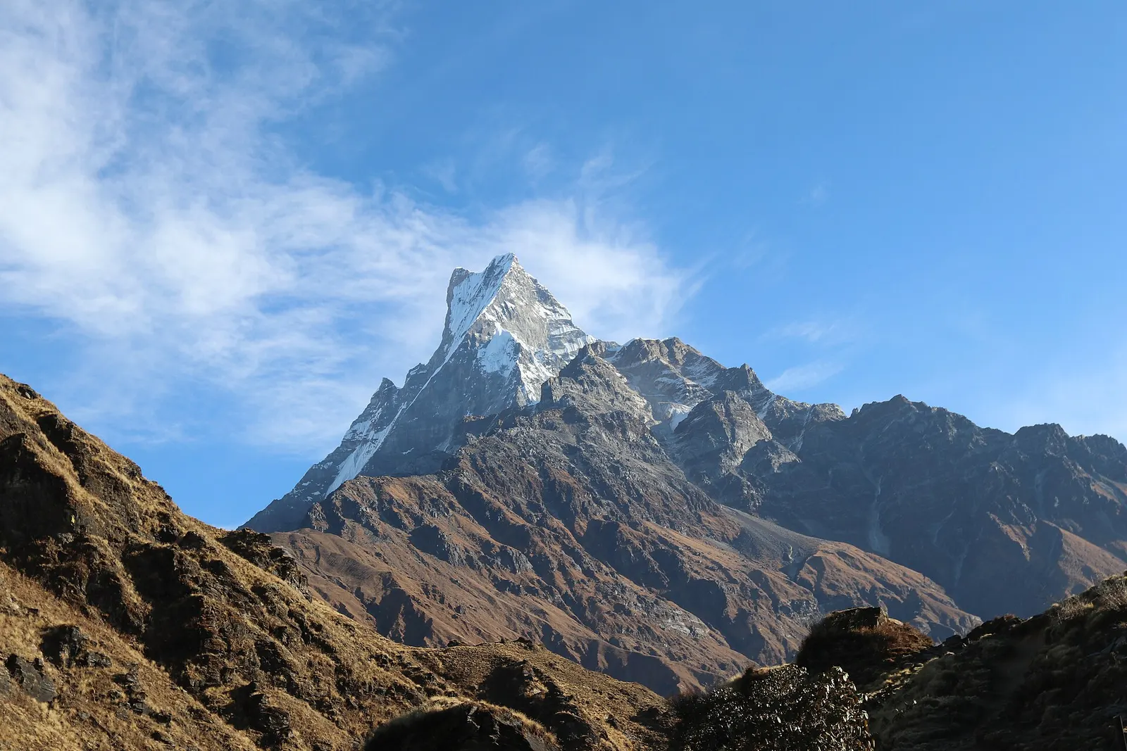
A ridge trek from Kande near Pokhara through rhododendron forest to the open crest below Machhapuchhre, with a day climb to Mardi Himal Base Camp at about 4,500 m.
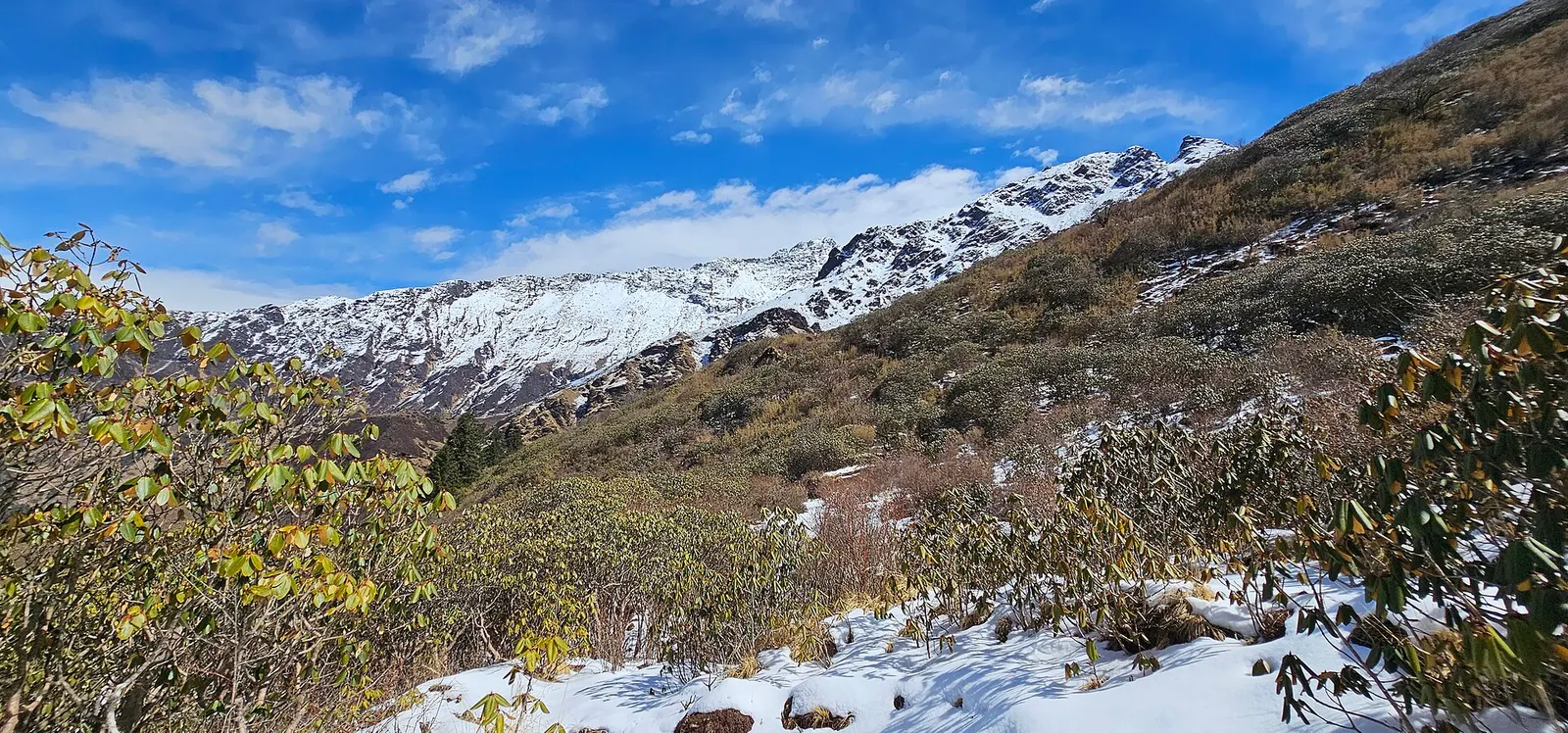
A quieter loop west of the Annapurna Sanctuary from Ghandruk via Tadapani, Dobato and Khopra Ridge (about 3,660 m) to Swanta, Ghorepani and Poon Hill, with an optional hike to Khayer Lake.
Annapurna Base Camp · 8 days