Skip to content

Annapurna Regionछोम्रोङ

Chhomrong

The last permanent Gurung village before the Annapurna Sanctuary, built on a steep staircase facing Annapurna South and Machhapuchhre.

Plan a trip here
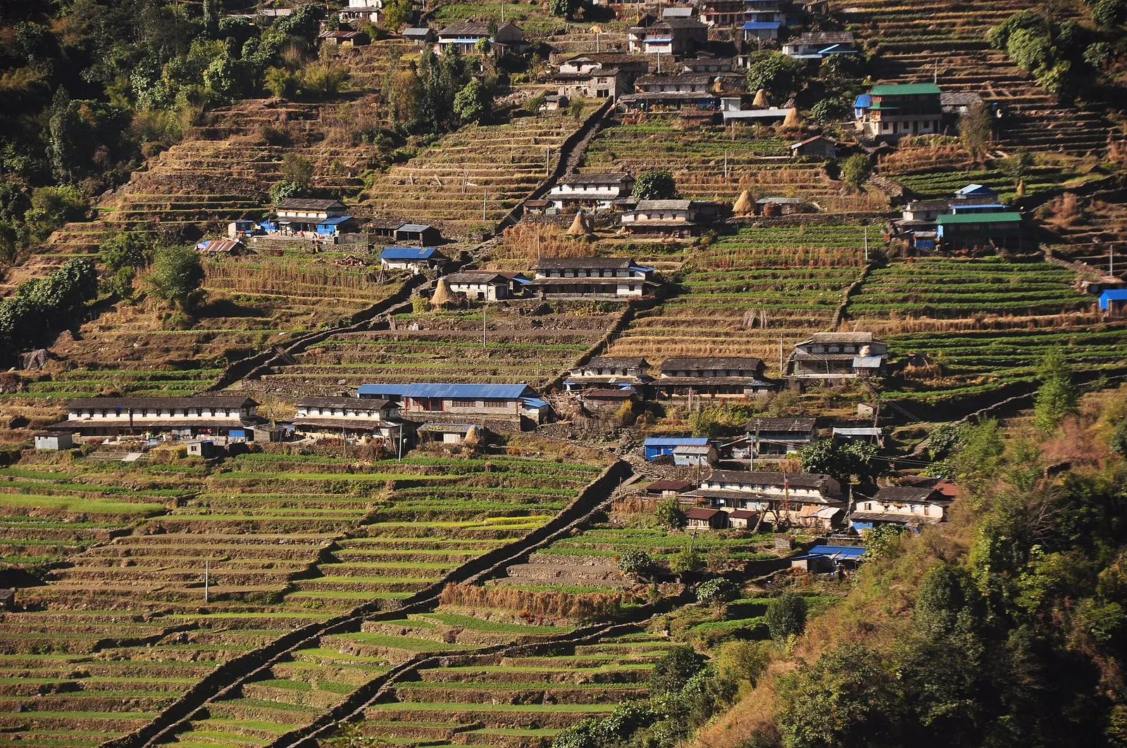
Chhomrong village spread across a steep hillside, seen from Lower Sinuwa across the valley.
Photo: Nirojsedhai (CC BY-SA 4.0)
Altitude
2,170 m*
Best months
Mar-Apr, Oct-Nov
Type
Trek stop
District
Kaski, Gandaki
Permit
Permit required

Why go

Chhomrong is the key junction on the Annapurna Base Camp trek. Every route into the Annapurna Sanctuary, whether from Ghandruk via Kimrong, from Landruk via Jhinu Danda, or from Nayapul along the Modi Khola, joins here, and from Chhomrong onward there is only one trail up the valley to Machhapuchhre Base Camp and Annapurna Base Camp. Most trekkers stay a night on the way in and again on the way out.

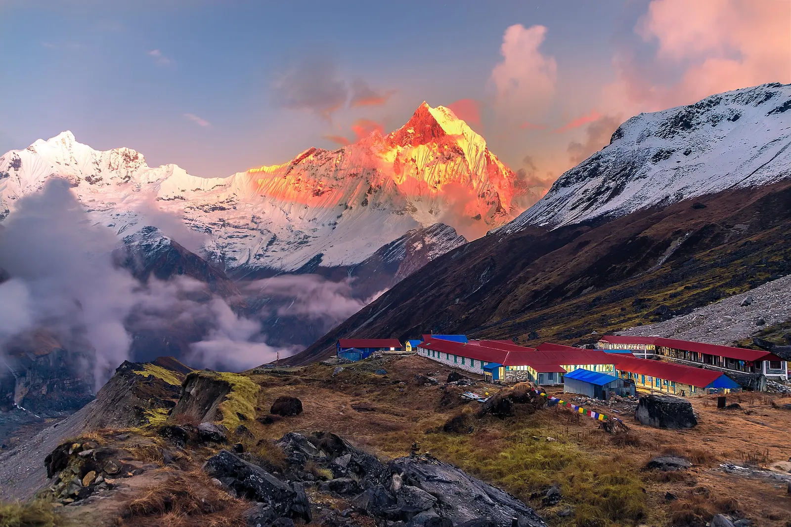
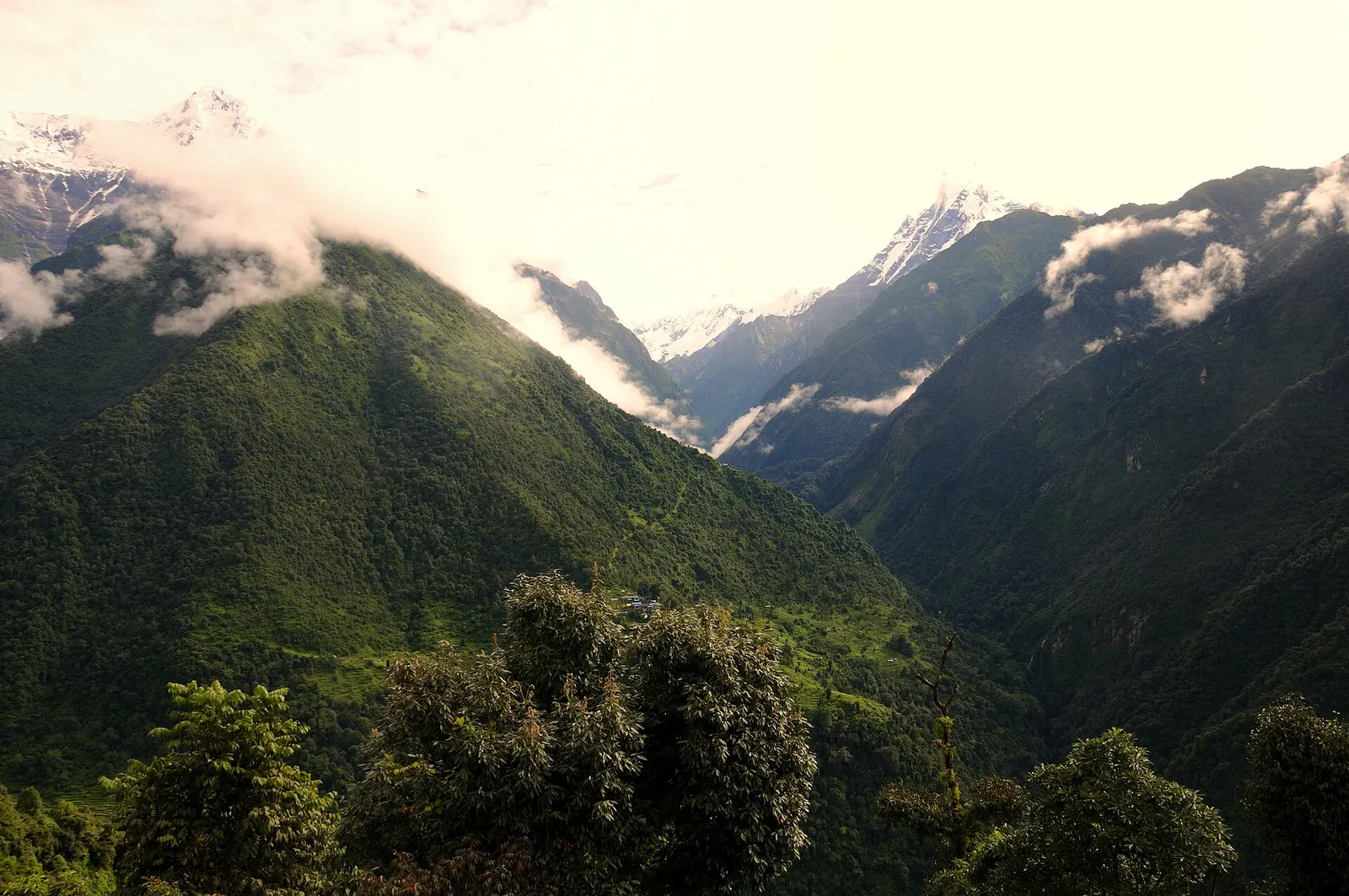
The village tumbles down a steep hillside at about 2,170 m on long flights of stone steps, with lodges stacked one above another. Annapurna South and Hiunchuli tower directly above, and Machhapuchhre rises to the north-east over the Chhomrong Khola. Below the village, the trail drops to a suspension bridge and climbs again to Sinuwa, the start of the forested gorge that leads into the Sanctuary.

An Annapurna Conservation Area checkpoint and information centre operate in the village, and lodges here are the last with a wide choice of rooms and supplies before the higher, more basic stops.

History and culture

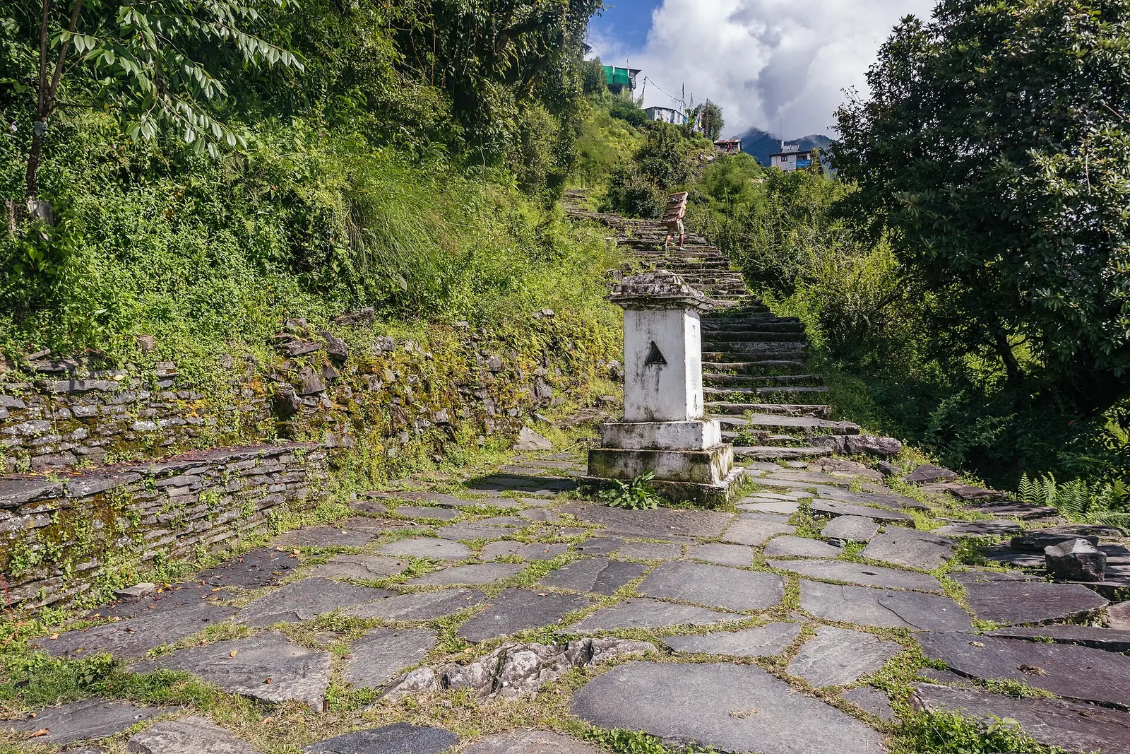
Chhomrong is a Gurung village, and much of its land around the lodges is still farmed. The village appears in mountaineering history: the 1970 British expedition to the south face of Annapurna passed through on its way into the Sanctuary, and Chhomrong has been the gateway for expeditions and trekkers ever since. A local tourism management committee coordinates lodges, and the village supports ACAP rules such as the ban on selling single-use plastic water bottles beyond this point. A small chorten stands on the main trail through the village.

Things to do in Chhomrong

  • Sunrise over Annapurna South

    The peak is so close above the village that it fills the view from lodge terraces in the early morning.

  • Restock before the Sanctuary

    Buy snacks and supplies here, as choice and availability shrink higher up.

  • Jhinu Danda hot springs

    On the way out, descend about 1.5-2 hours to Jhinu Danda and walk down to the natural hot pools by the Modi Khola.

Weather and the best time to visit Chhomrong

Weather in Chhomrong

Forecast for 2,170 m. Conditions change fast in the mountains.

Weather data: MET Norway, licensed CC BY 4.0. A forecast, not a guarantee.

Best time to visit

Mar-Apr, Oct-Nov

  1. Jan
  2. Feb
  3. Good month: Mar
  4. Good month: Apr
  5. May
  6. Jun
  7. Jul
  8. Aug
  9. Sep
  10. Good month: Oct
  11. Good month: Nov
  12. Dec
Autumn (Sep-Nov)
October and November give clear views and stable trails; lodges can be full at peak times.
Winter (Dec-Feb)
December to February is cold and often clear; snow and ice are common higher up the valley above Deurali, where avalanche risk can close the trail.
Spring (Mar-May)
March to May brings flowering rhododendron forest beyond Sinuwa, with afternoon cloud and occasional storms.
Monsoon (Jun-Aug)
June to August is very wet, with leeches, slippery steps and cloud hiding the peaks.

Where to stay

TeahousesLodges

Many trekking lodges line the stepped trail through the village; upper lodges have the best views, lower ones are closer to the onward trail.

No partner stays are listed here yet. List a property.

Getting there

Chhomrong is reached on foot. Jeeps from Pokhara can bring trekkers to road heads such as Jhinu Danda or Kimche, shortening the approach.

Nearest hub: Pokhara

  • jeepPokhara to Jhinu Danda or Kimche by jeep, roughly 3-5 hours depending on road condition and season.
  • trekJhinu Danda to Chhomrong, a steep climb on stone steps of about 2 hours.
  • trekLandruk to Chhomrong via New Bridge and Jhinu Danda, about 7 km and 5-6 hours; Ghandruk to Chhomrong via Kimrong, about 5-6 hours.
Mount Everest 8,848.86Kangchenjunga 8,586Dhaulagiri I 8,167Manaslu 8,163Annapurna I 8,091ChhomrongKathmandu
Boundary: Government of Nepal, Survey Department (2020). Peak data: Wikidata.

Permits and fees

Permit required

Chhomrong is inside the Annapurna Conservation Area; an ACAP permit is required and is checked at the village checkpoint.

  • Annapurna Conservation Area Permit (ACAP): Obtain in Pokhara or Kathmandu before the trek.
  • TIMS card: Check whether a TIMS card is currently required.
  • Guide rule: Since April 2023 foreign trekkers in national parks and conservation areas are generally required to go with a licensed guide; check the current rule.

Verify before travel: permit rules and fees change. Checked 2026-10-06 against Annapurna Sanctuary trek, Wikivoyage.

On the trail

On the Annapurna Base Camp trek.

Previous stop:
Jhinu Danda
Next stop:
Sinuwa
A typical day:
From Landruk, about 5-6 hours: a descent to New Bridge (around 1,340 m), then a steep 4-hour climb on stone staircases to Chhomrong, a net gain of roughly 500 m but well over 800 m of climbing.

Practical tips

  • Single-use plastic bottles are not sold beyond Chhomrong; carry reusable bottles and a filter or purification tablets.
  • Mobile signal and paid Wi-Fi are usually available in the village but become patchy further up the valley.
  • There is no ATM; carry all the cash you need for the trek from Pokhara.
  • Charging is available in lodges for a fee.
  • Above Chhomrong, check trail and avalanche conditions at the checkpoint or with lodges, especially in winter and early spring.

Treks through Chhomrong

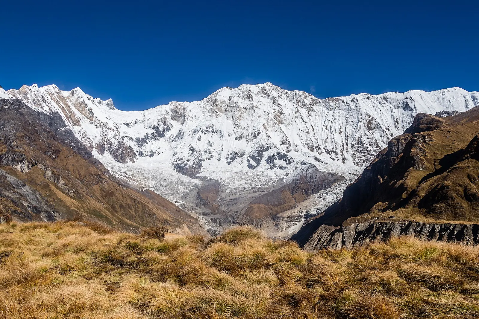
The broad snow-covered south face of Annapurna I rising above golden grass at Annapurna Base Camp

A teahouse trek from the road heads north of Pokhara through Gurung villages and the bamboo forest of the Modi Khola gorge into the Annapurna Sanctuary, to Annapurna Base Camp at about 4,130 m.

Days
8 days
Maximum altitude
4,130 m
Difficulty
Moderate

Questions about Chhomrong

How high is Chhomrong?

About 2,170 m, with lodges spread over a steep slope; altitude problems are uncommon here but the trail climbs above 3,000 m within two days.

How do I get to Chhomrong from Pokhara?

Take a jeep to Jhinu Danda or Kimche (roughly 3-5 hours), then walk 2-3 hours up to Chhomrong, or trek in over two to three days from Phedi or Nayapul.

Do I need a permit for Chhomrong?

Yes, an ACAP permit, checked at the village checkpoint; check the current TIMS and guide rules.

How many days from Chhomrong to Annapurna Base Camp?

Usually two days up, staying at Bamboo, Dobhan or Himalaya and then Deurali or Machhapuchhre Base Camp, and one to two days back.

More in Annapurna Region

All of Annapurna Region
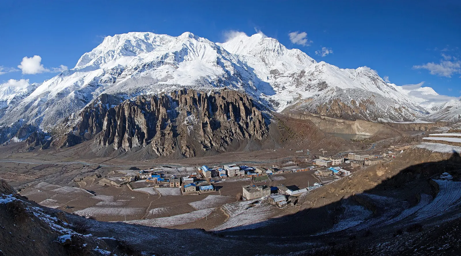
Manang village in the upper Marsyangdi valley with Annapurna III and Gangapurna behind.

Town or village · 3,519 m

Manang

A high stone village in the upper Marsyangdi valley below Annapurna III and Gangapurna, where Circuit trekkers stop to acclimatise.

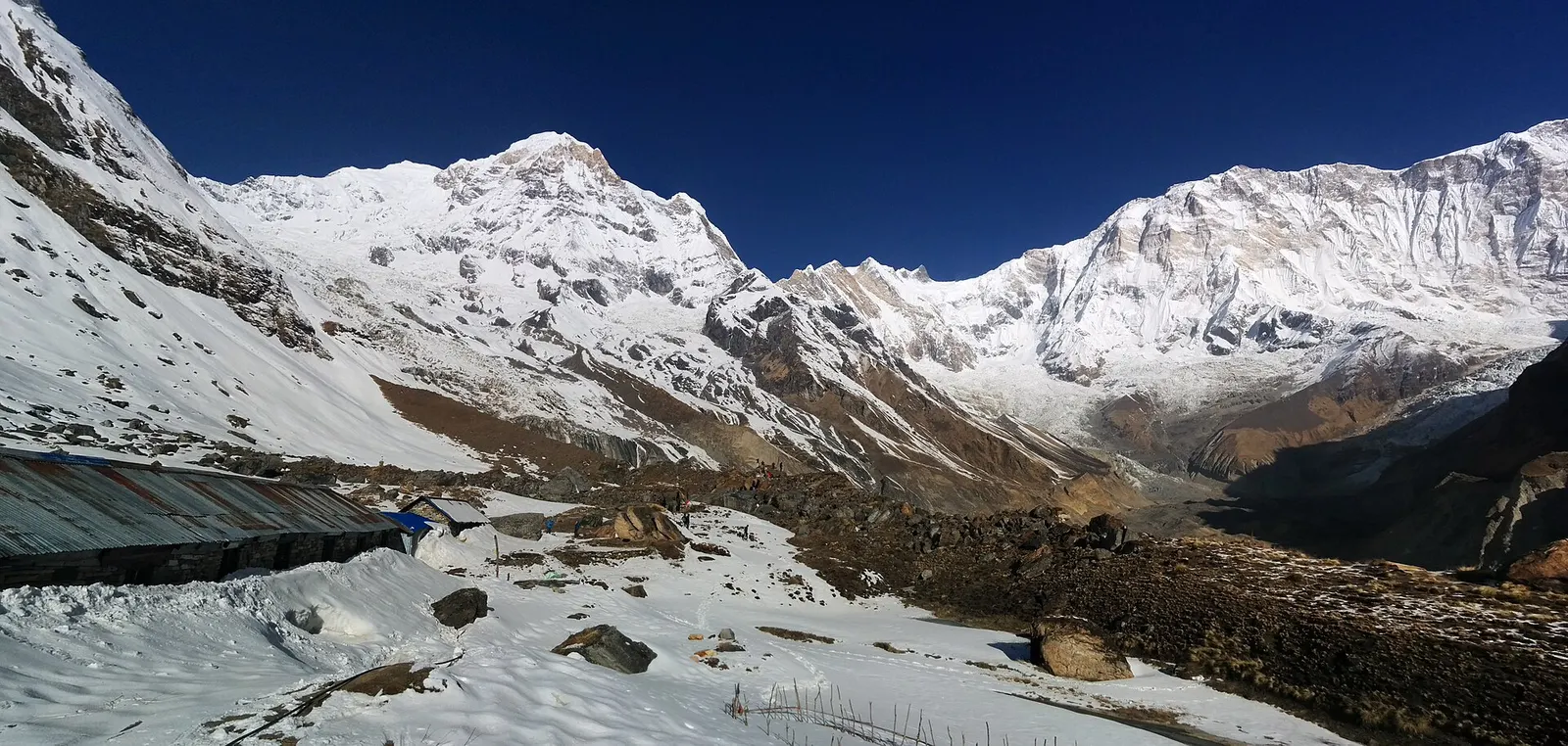
Snow-covered ground and lodge roofs at Annapurna Base Camp below Annapurna I and its neighbouring peaks under a deep blue sky.

Trek stop · 4,130 m

Annapurna Base Camp

Lodges at about 4,130 m in the glacial basin of the Annapurna Sanctuary, below the south face of Annapurna I.

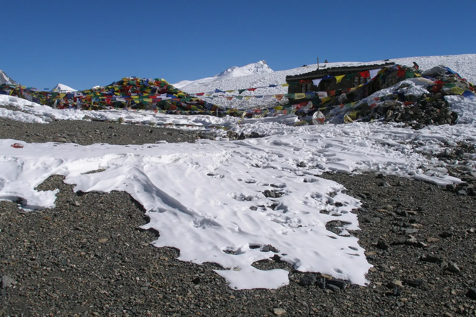
Prayer flags and a small stone hut at the Thorong La, with patches of snow on grey scree under a blue sky.

Mountain pass · 5,416 m

Thorong La

The 5,416 m pass between Manang and Muktinath, the high point of the Annapurna Circuit.

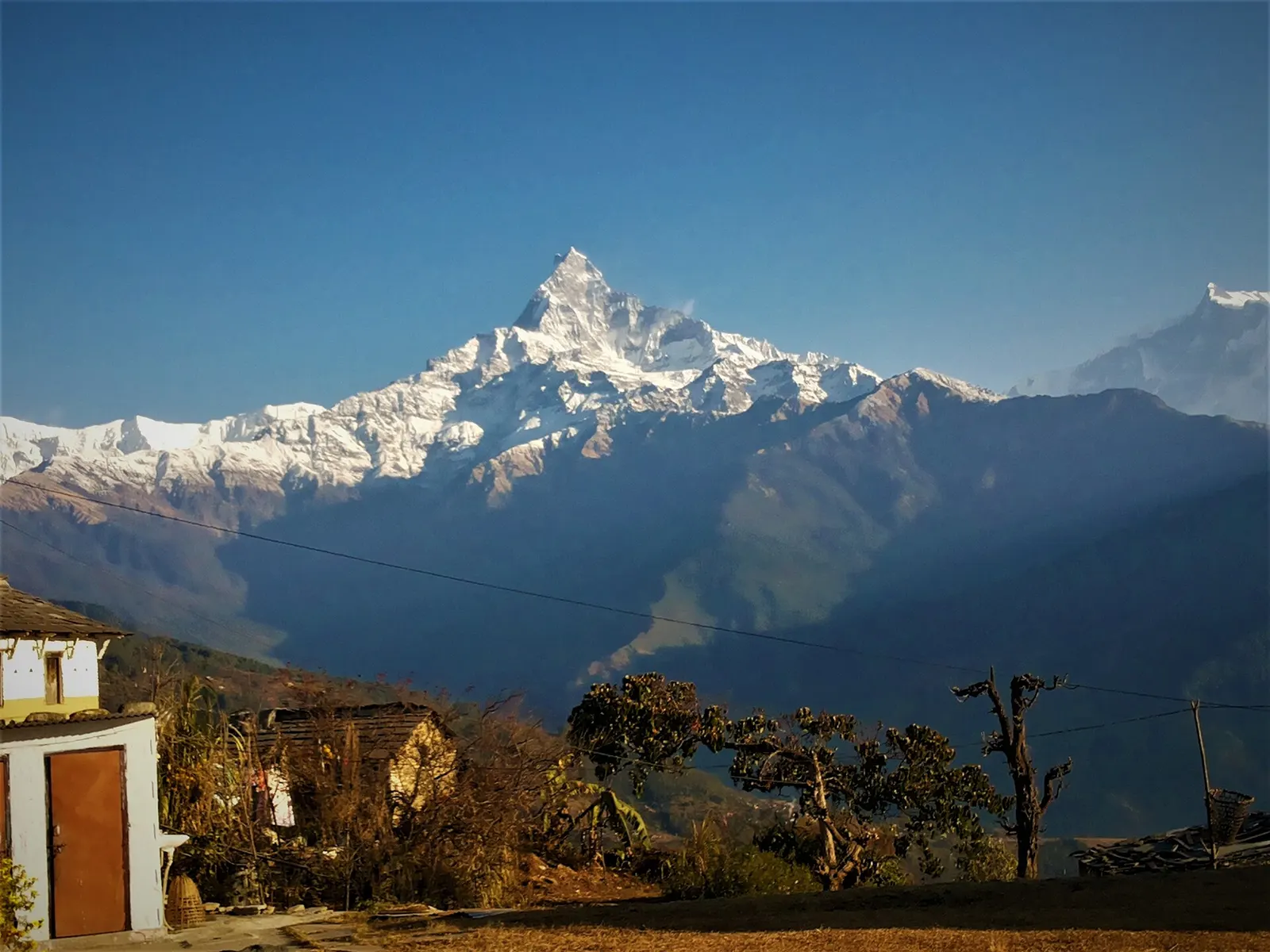
Machhapuchhre and the Annapurna range above forested ridges, seen from Australian Camp.

Trek stop · 2,060 m

Australian Camp

A grassy clearing at about 2,060 m above Kande with a wide view of the Annapurna range and Machhapuchhre, an easy walk from the road.

Trek stop · 2,310 m

Bamboo

A group of lodges in the bamboo forest of the Modi Khola gorge, the first overnight stop above Chhomrong on the way to Annapurna Base Camp.

Trek stop · 1,650 m

Dhampus

A Gurung hill village above Phedi with views of Machhapuchhre and the Annapurnas, close to Pokhara.

Trek stop · 3,420 m

Dobato

A small high lodge stop on the ridge between Tadapani and Khopra, the base for sunrise at the Muldai viewpoint.

Nearby

Evening light on the peaks above Annapurna Base Camp, with the lodges of the camp on the moraine below.

National park or conservation area

Annapurna Region

Nepal's largest protected area, from Gurung hill villages and rhododendron forest to the dry valleys behind the Annapurna range.

Editorial draft: facts are being checked against the sources below. Last checked 2026-10-06. Sources: Annapurna Sanctuary trek, Wikivoyage, Chhomrong (Q135735004), Wikidata, 1970 British Annapurna South Face expedition, Wikipedia