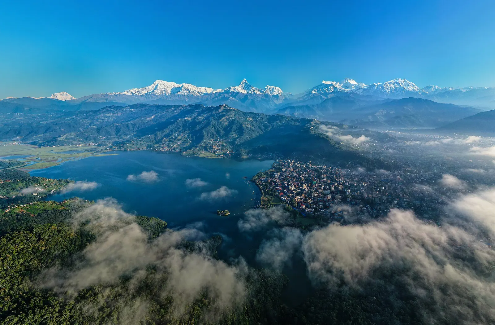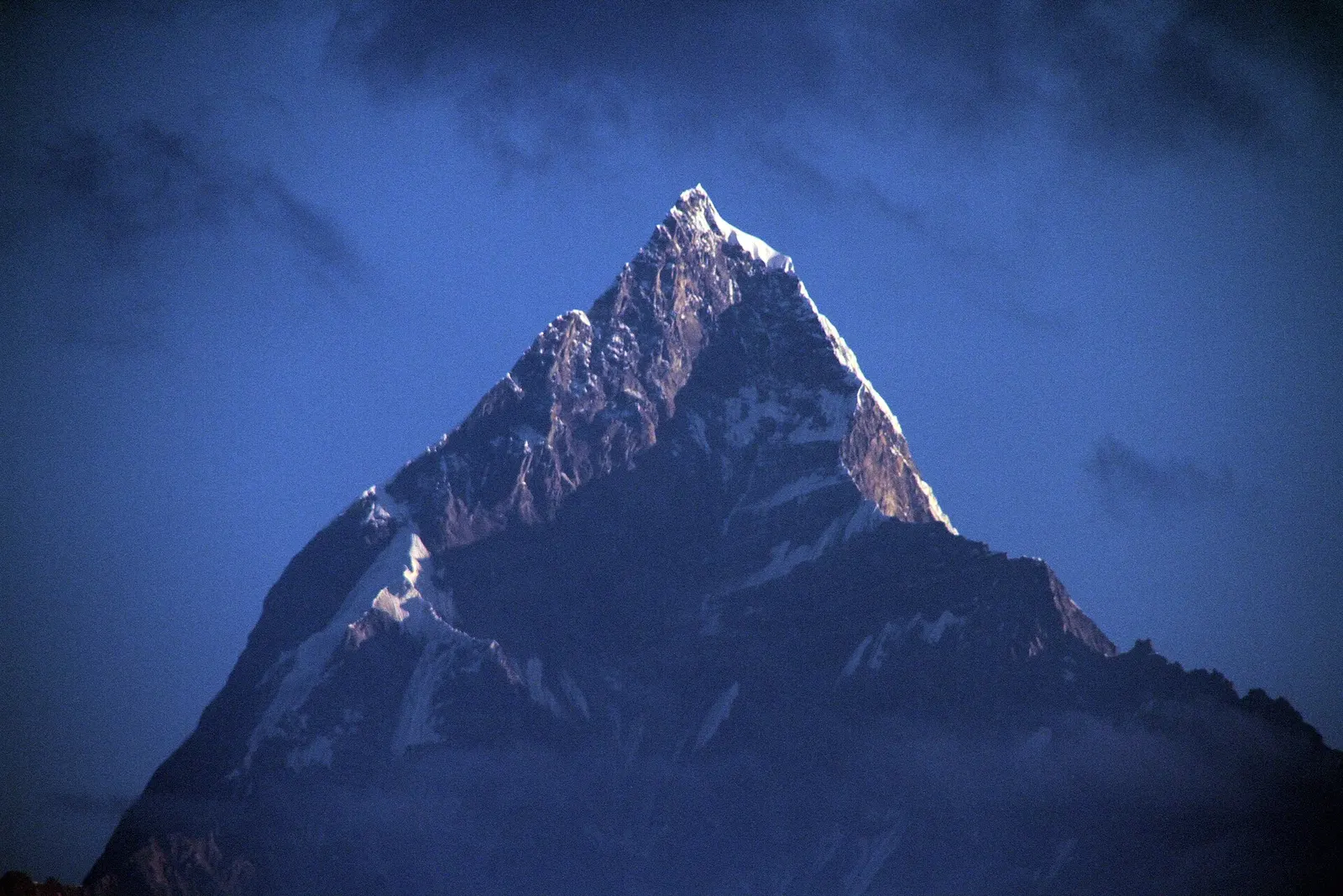
A short overnight walk from Phedi near Pokhara to the Gurung village of Dhampus (about 1,650 m), with homestays and sunrise views of Machhapuchhre and the Annapurnas.
- Days
- 2 days
- Maximum altitude
- 1,650 m
- Difficulty
- Easy
Annapurna Regionधम्पुस
A Gurung hill village above Phedi with views of Machhapuchhre and the Annapurnas, close to Pokhara.
The Gurung village above Phedi in Kaski, not Dhampus Peak (Thapa Peak) in the Dhaulagiri range.
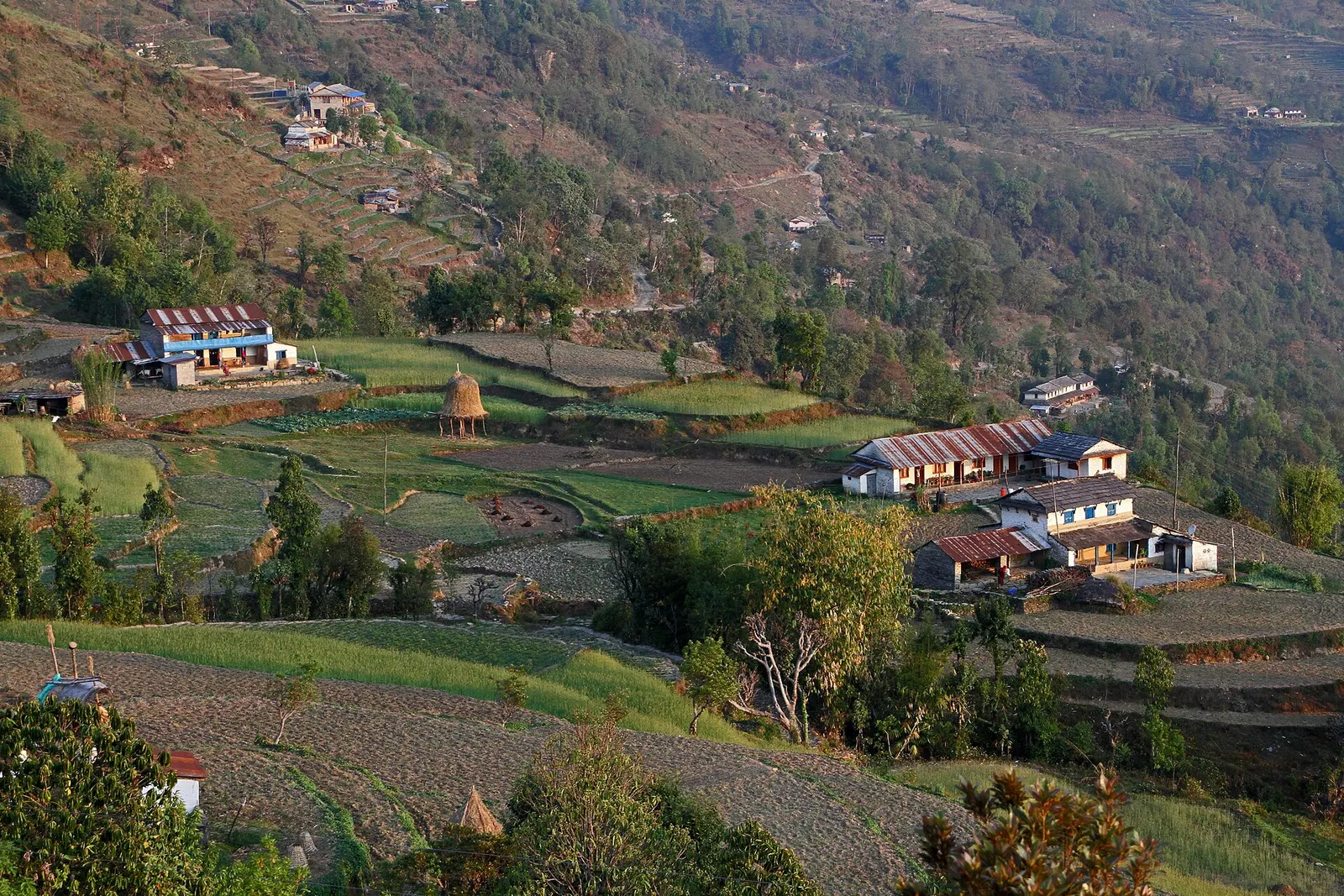
Dhampus is a spread-out Gurung village on a ridge at about 1,650 m, a 1.5-2 hour climb on stone steps from Phedi on the Pokhara-Baglung road. It looks north to Machhapuchhre, Annapurna South and Annapurna II, and south over terraced hills towards Pokhara.
It is a starting point for the Annapurna Base Camp and Mardi Himal treks and a destination in its own right for a one- or two-night walk from Pokhara, often combined with Australian Camp about an hour above. Homestays and lodges let visitors spend a night in the village.
Most families in Dhampus are Gurung, with some Brahmin and Chhetri households, and the village keeps traditional stone houses with slate or tin roofs, terraced fields of rice and millet, and village groups that host cultural evenings for visitors. Like many Gurung villages, it has a long connection with Gurkha service abroad. A road now reaches the village from the Pokhara side.
Sunrise viewpoint
Walk to the viewpoint above the village at dawn for the Annapurna range and Machhapuchhre.
Homestay evening
Stay with a family and try local food such as dhido and gundruk.
Walk to Australian Camp
About an hour up through forest to the grassy viewpoint at about 2,060 m.
Forecast for 1,650 m. Conditions change fast in the mountains.
Weather data: MET Norway, licensed CC BY 4.0. A forecast, not a guarantee.
Feb-Apr, Oct-Dec
Homestays run by village families plus several lodges and guesthouses.
No partner stays are listed here yet. List a property.
Dhampus is about 20-30 minutes by road from Pokhara to Phedi, then a short climb, or reached directly by jeep.
Nearest hub: Pokhara
Permit required
Dhampus lies at the southern edge of the Annapurna Conservation Area. Treks continuing north need an ACAP permit; for a short stay in the village, check locally whether one is asked for.
Verify before travel: permit rules and fees change. Checked 2026-10-06 against National Trust for Nature Conservation (Annapurna Conservation Area Project, e-permit links).
On the Dhampus Village trek, Australian Camp trek, Annapurna Base Camp trek (from Phedi), Mardi Himal trek.
A short overnight walk from Phedi near Pokhara to the Gurung village of Dhampus (about 1,650 m), with homestays and sunrise views of Machhapuchhre and the Annapurnas.
Take a bus or taxi to Phedi (about 20-40 minutes) and walk up 1.5-2 hours, or take a jeep to the village.
Treks beyond Dhampus into the Annapurna Conservation Area need an ACAP permit; for a short village stay, check locally.
Yes, in homestays, guesthouses and lodges.
Town or village · 3,519 m
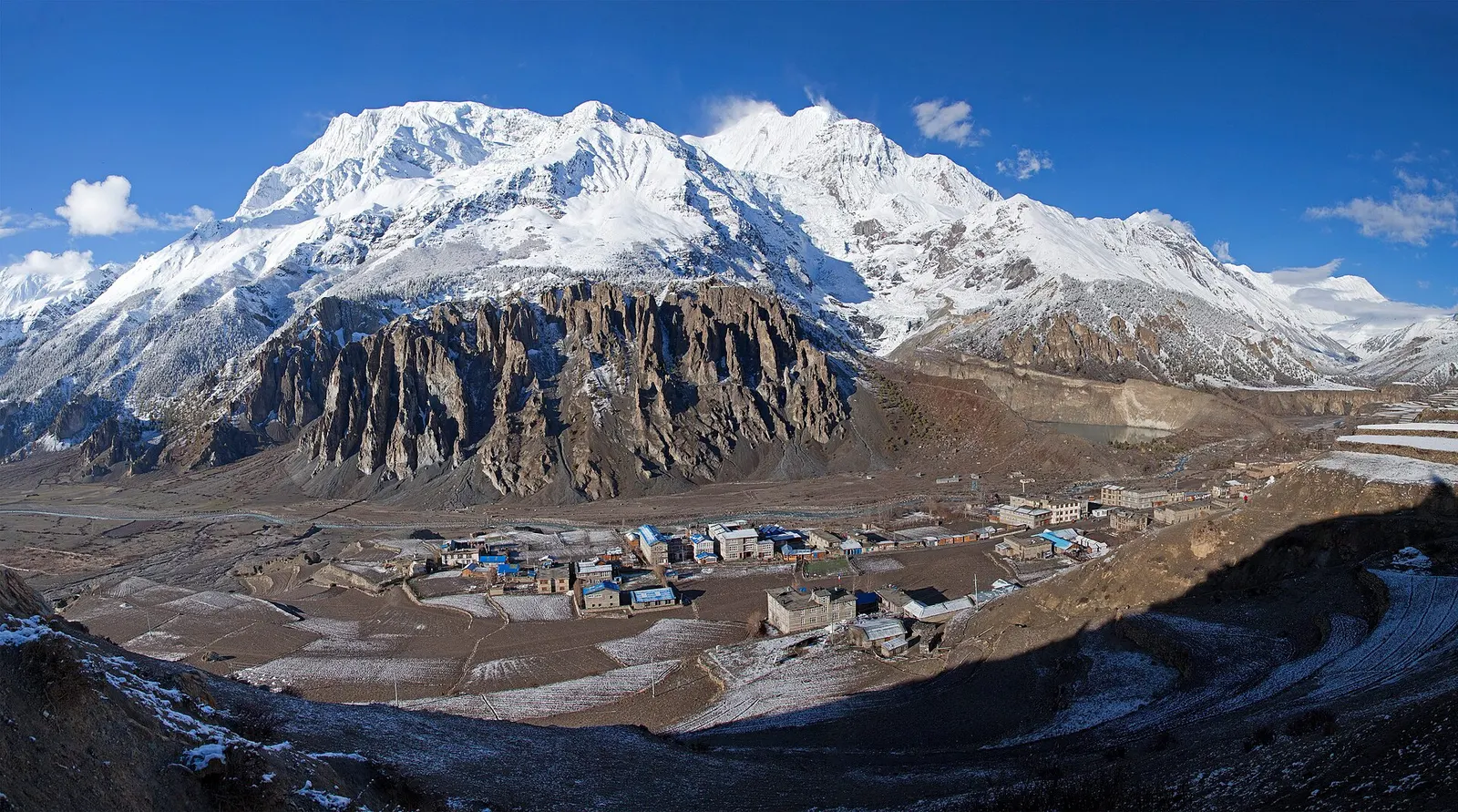
A high stone village in the upper Marsyangdi valley below Annapurna III and Gangapurna, where Circuit trekkers stop to acclimatise.
Trek stop · 4,130 m
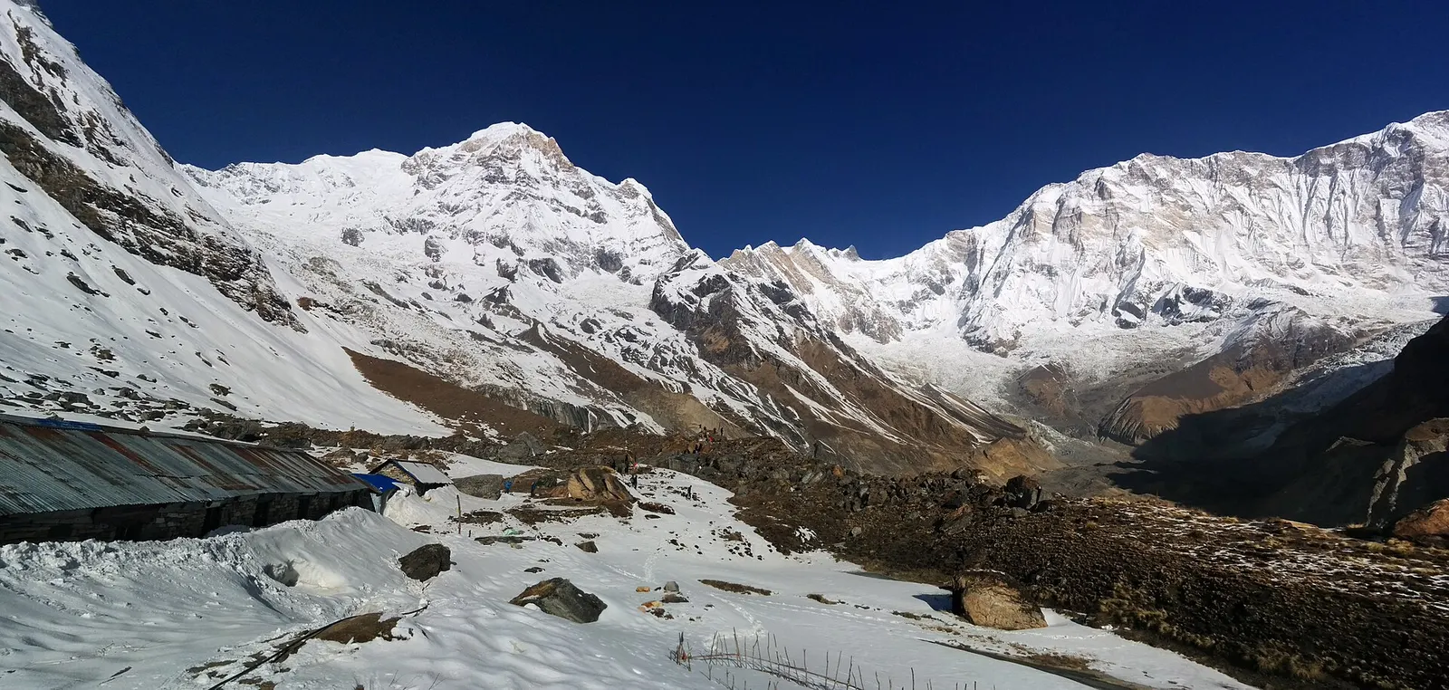
Lodges at about 4,130 m in the glacial basin of the Annapurna Sanctuary, below the south face of Annapurna I.
Mountain pass · 5,416 m
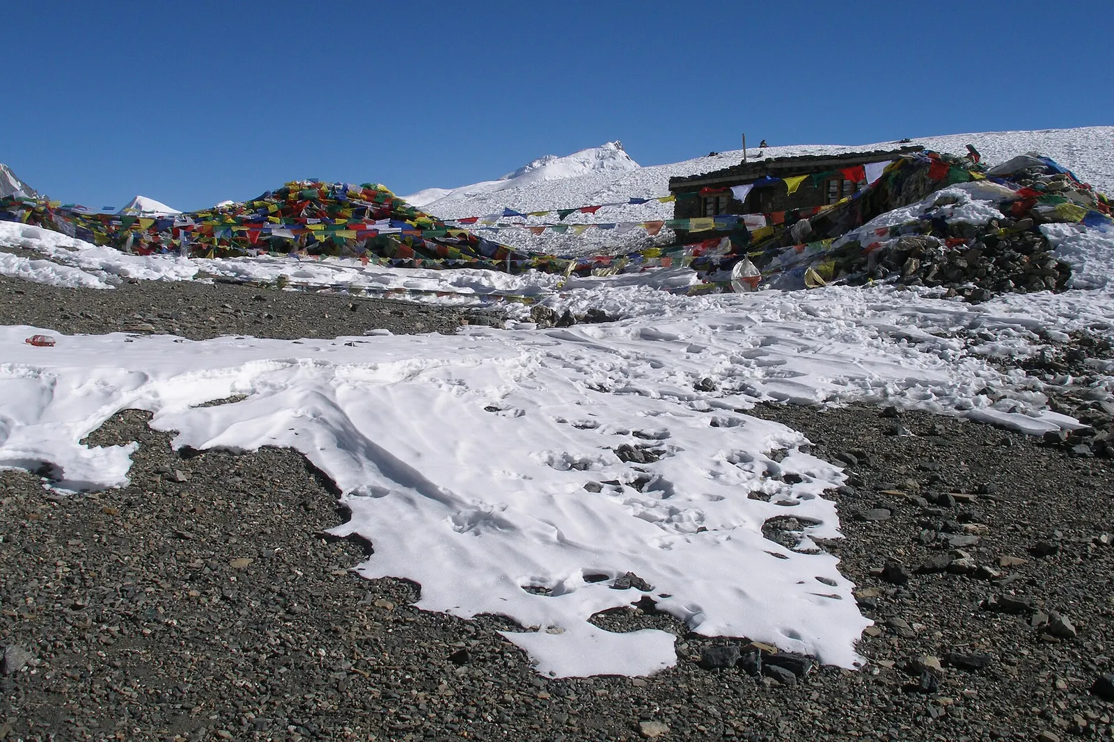
The 5,416 m pass between Manang and Muktinath, the high point of the Annapurna Circuit.
Trek stop · 2,060 m
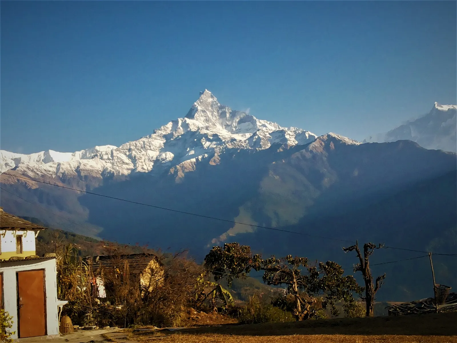
A grassy clearing at about 2,060 m above Kande with a wide view of the Annapurna range and Machhapuchhre, an easy walk from the road.
Trek stop · 2,310 m
A group of lodges in the bamboo forest of the Modi Khola gorge, the first overnight stop above Chhomrong on the way to Annapurna Base Camp.
Trek stop · 2,170 m
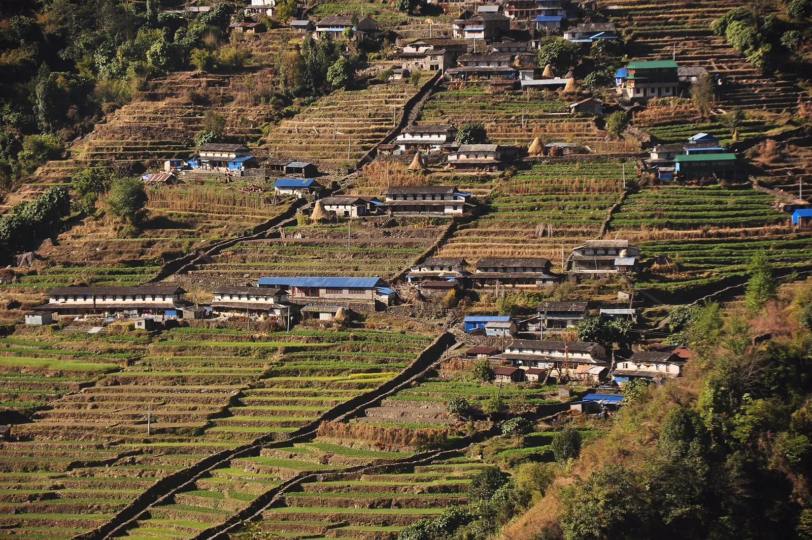
The last permanent Gurung village before the Annapurna Sanctuary, built on a steep staircase facing Annapurna South and Machhapuchhre.
Trek stop · 3,200 m
The last lodges in the Modi Khola gorge before Machhapuchhre Base Camp, at about 3,200 m.
Trek stop · 3,420 m
A small high lodge stop on the ridge between Tadapani and Khopra, the base for sunrise at the Muldai viewpoint.