

Lake · 650 m
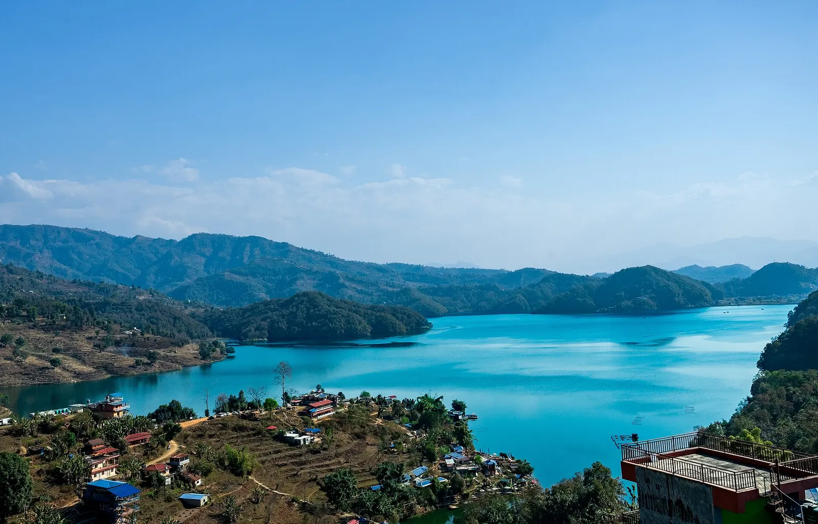
Begnas Lake
A quieter freshwater lake in the east of the Pokhara valley, ringed by forested ridges, rice terraces and fish farms.
Pokharaसराङकोट
A ridge-top viewpoint on Pokhara's western edge, known for sunrise over the Annapurnas and as the city's paragliding launch.
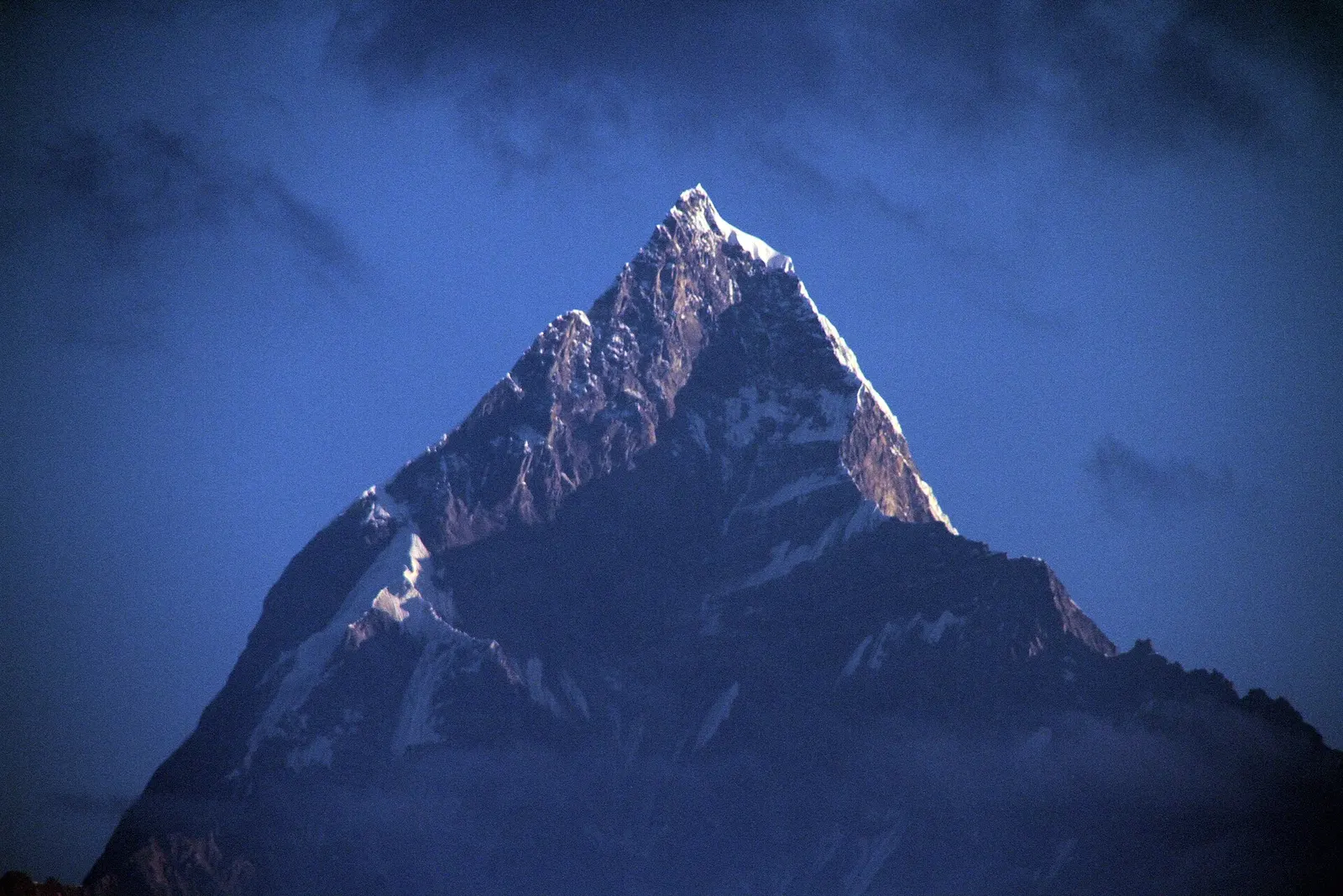
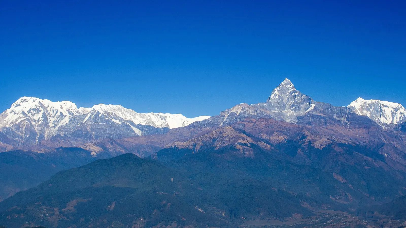
Sarangkot is the hill that rises directly above the northern shore of Phewa Lake, one of the sights of Pokhara. From the top, at about 1,600 m, the horizon to the north is a wall of snow peaks: Dhaulagiri to the north-west, the Annapurna massif and the fishtail summit of Machhapuchhre straight ahead, and on clear days Manaslu far to the east. Looking the other way, the whole of the Pokhara valley and Phewa Lake spread out below.
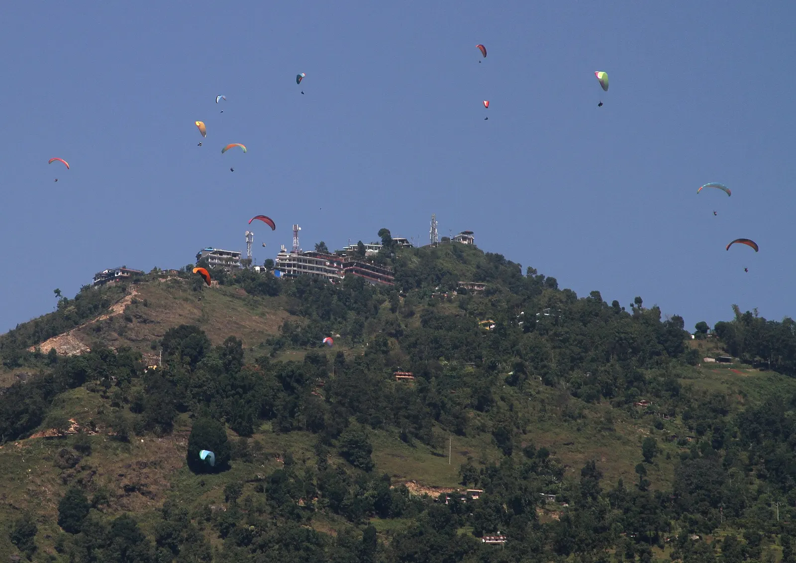
Most visitors come up before dawn to watch the first light hit the mountains, then head back down for breakfast in Lakeside. Others stay overnight in the guesthouses scattered along the ridge so they can see both sunset and sunrise without a pre-dawn drive. The hill is also where Pokhara's tandem paragliding flights take off, and on a busy autumn afternoon dozens of canopies circle above the slopes before landing beside the lake.
Sarangkot works as a half-day outing from Pokhara, as a short warm-up hike before a longer trek, or as the first evening of a gentle walk west along the ridge towards Kaskikot and Naudanda. It sits low enough that altitude is not a concern, but the climb on foot is steep.
The name ends in kot, the Nepali word for a fort, and the hill was a fortified lookout in the era when Kaski was a small hill principality, before the unification of Nepal in the 18th century. Remains of old walls and a small Bhagawati shrine are found near the summit. Sarangkot was a separate village development committee until 2015, when it was merged into Pokhara; it is now a ward of the metropolitan city.
The farming settlements on the hill are mixed, with Brahmin, Chhetri, Gurung and Magar families among the residents. Since paragliding operators began launching here in the 1990s and 2000s, tourism has become a major part of the local economy alongside farming.
Sunrise viewing
Reach the viewing platform about 30-45 minutes before sunrise; the mountains turn pink then gold, and the light is clearest in autumn and early winter.
Tandem paragliding
Flights launch from the slopes below the summit and land near Phewa Lake. Book only with licensed operators and check weather conditions on the day.
Hike up from Lakeside
A stone-stepped trail climbs about 800 m from the lake shore through forest and farms, typically 2-3 hours up; descend the same way or by road.
Ridge walk west
Continue along the ridge to Kaskikot and on to Naudanda for an easy one or two day walk with mountain views.
Forecast for 1,600 m. Conditions change fast in the mountains.
Weather data: MET Norway, licensed CC BY 4.0. A forecast, not a guarantee.
Mar-Apr, Oct-Dec
A number of guesthouses and small hotels sit along the ridge near the viewpoint; some are reached only on foot from the road head. Most visitors stay in Pokhara Lakeside instead.
No partner stays are listed here yet. List a property.
Sarangkot is reached from Pokhara by road, cable car or on foot. Taxis run up before dawn for the sunrise, and the final stretch to the viewpoint is a short walk.
Nearest hub: Pokhara
None needed
No trekking permit is needed. A small local entry charge has been collected at the main viewing tower in some years; paragliding and the cable car are paid separately.
Verify before travel: permit rules and fees change. Checked 2026-10-06 against Pokhara, Wikivoyage.
Take a taxi from Lakeside (about 30-45 minutes), ride the cable car from the northern end of Lakeside, or hike the 2-3 hour trail up from the lake shore.
Aim to be at the viewpoint 30-45 minutes before sunrise, which usually means leaving Lakeside around an hour before dawn.
No trekking permit is needed. A small local charge may be collected at the viewing tower; check on arrival.
October to December gives the clearest mountain views; spring is warmer but hazier, and the monsoon often hides the peaks.
Lake · 650 m
A quieter freshwater lake in the east of the Pokhara valley, ringed by forested ridges, rice terraces and fish farms.
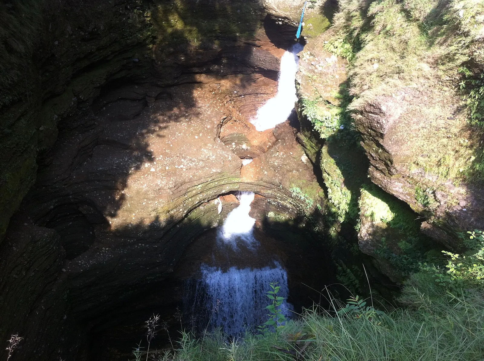
Viewpoint · 780 m
A waterfall in south Pokhara where the outflow of Phewa Tal drops into a narrow chasm and disappears underground.
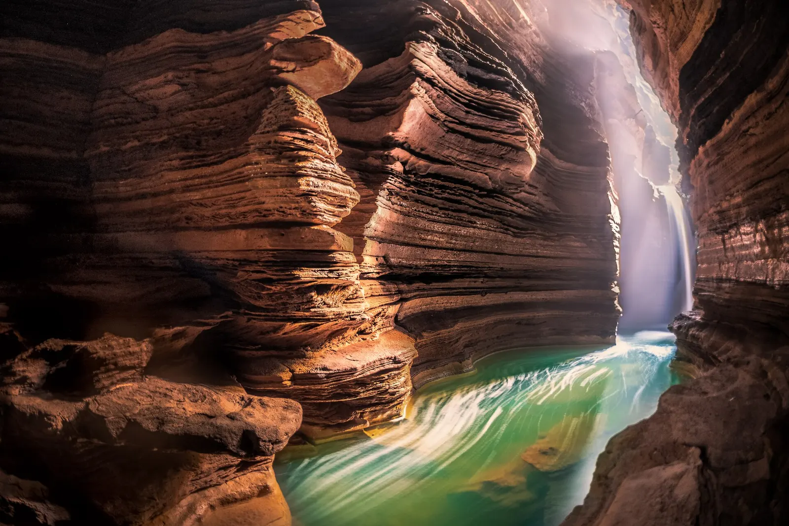
Temple, monastery or heritage site · 778 m
A Shiva cave shrine in south Pokhara, with a lower passage that ends behind the falling water of Davis Falls.
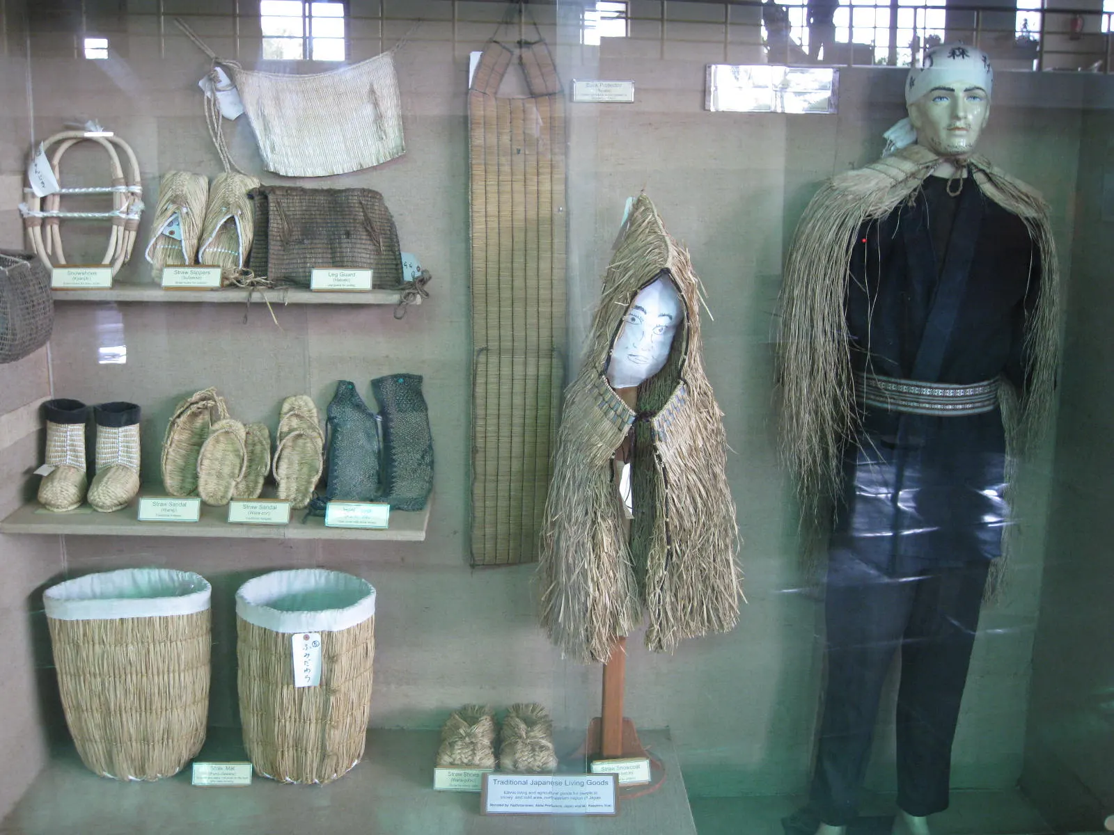
Temple, monastery or heritage site · 797 m
A museum in south Pokhara on the Himalaya's peaks, the people who climb them and the communities who live among them.
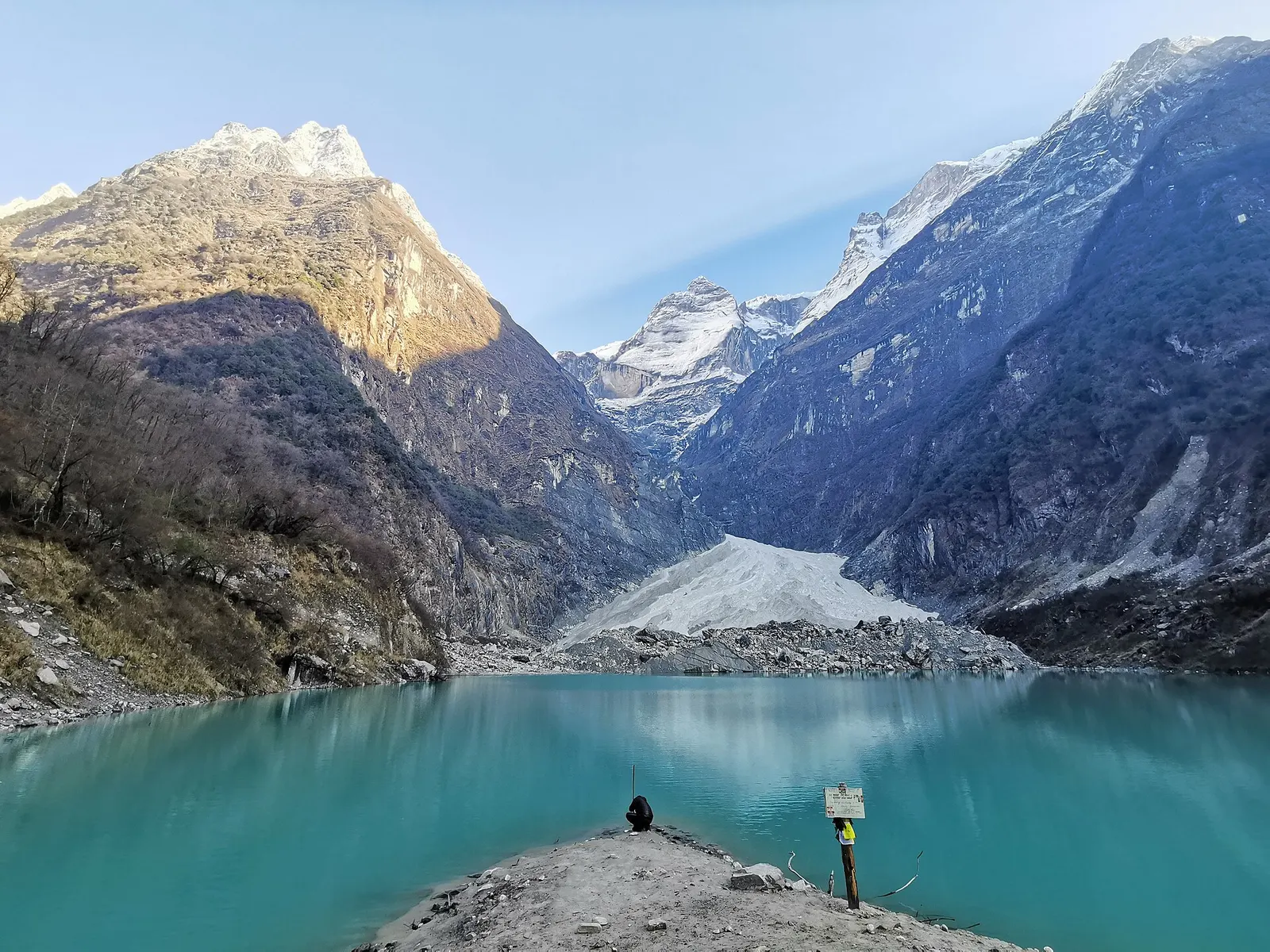
Lake · 2,546 m
A glacier lake at about 2,546 m beneath Annapurna II and Lamjung Himal, reached by a short trek from the Gurung village of Sikles.
Viewpoint · 2,517 m
A forested hill at about 2,500 m west of Phewa Tal, with a temple and pond on top and views of the Annapurna and Dhaulagiri ranges.
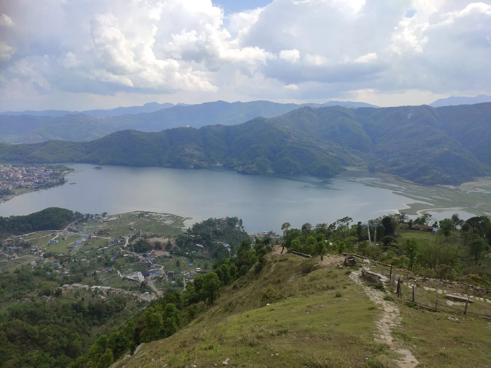
Lake · 742 m
Pokhara's main lake, with rowing boats, an island temple and Machhapuchhre reflected on still mornings.
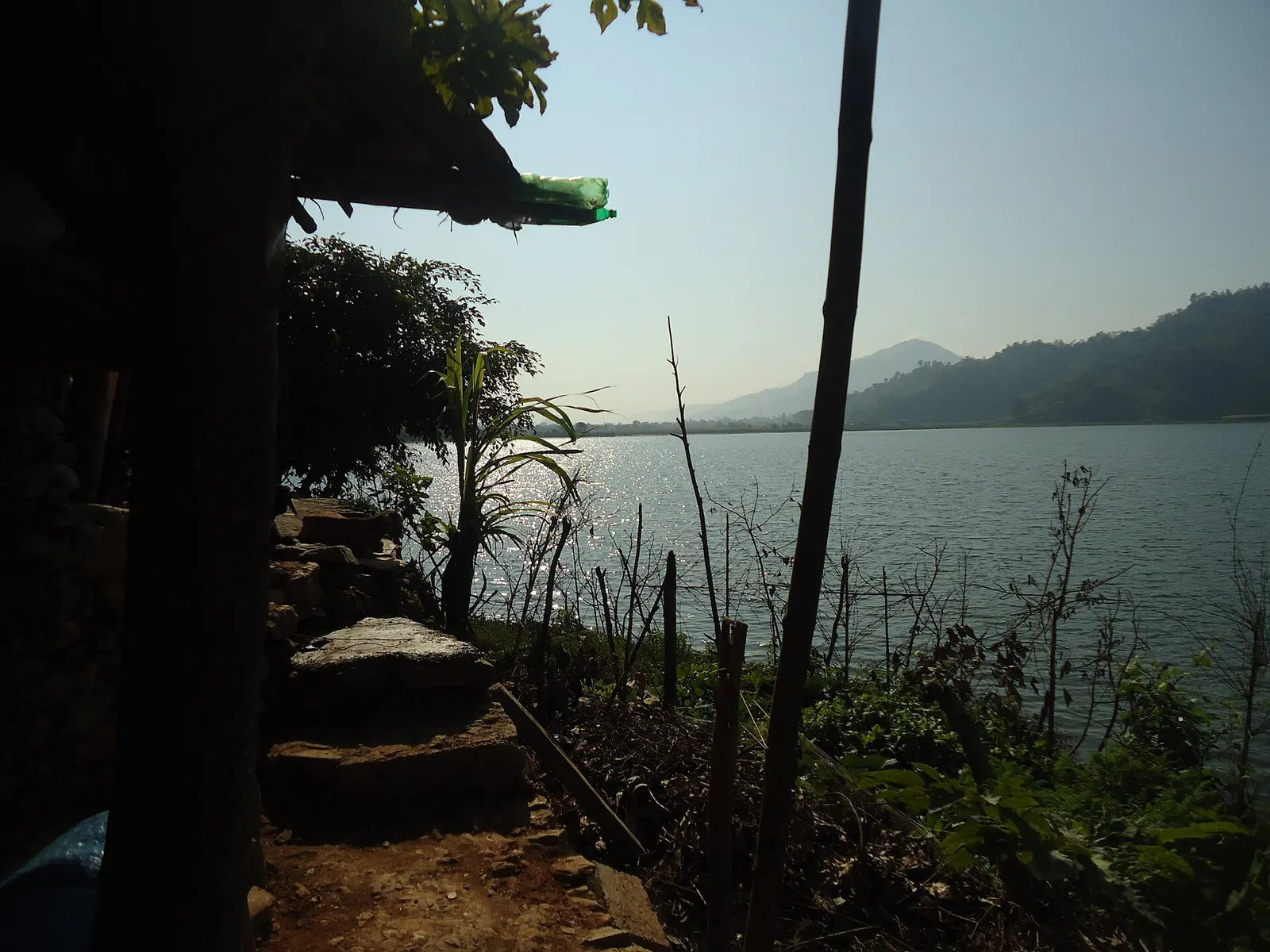
Lake · 600 m
A small, shallow lake beside Begnas in the east of the Pokhara valley, managed by a local fisheries cooperative and rich in waterbirds.
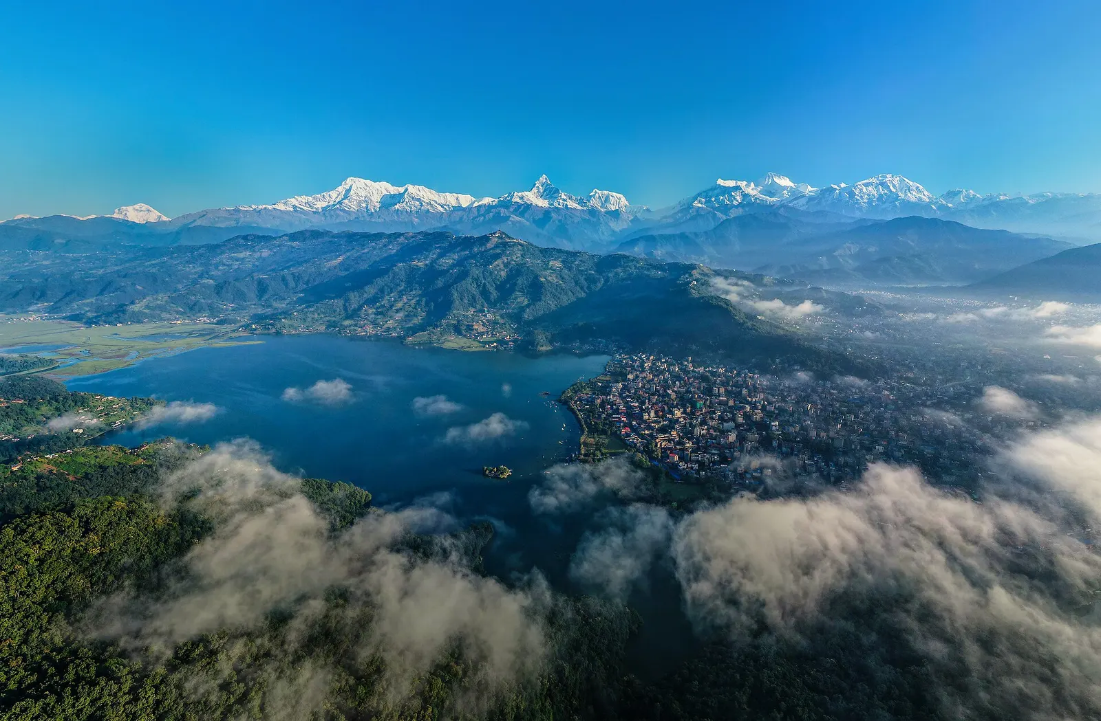
Town or village · 822 m
A lakeside city about 200 km west of Kathmandu, with the Annapurna range and Machhapuchhre rising close to the north.
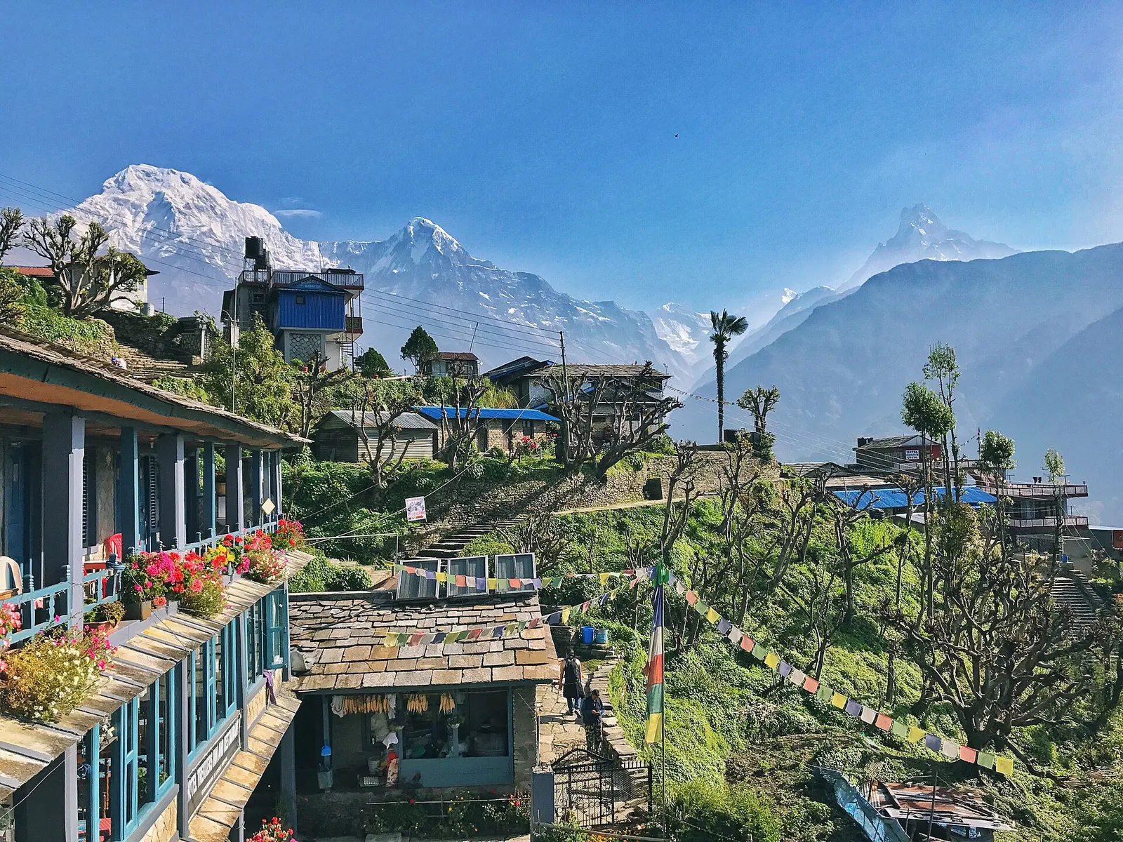
Town or village · 2,012 m
A large Gurung village of stone houses and terraces facing Annapurna South and Machhapuchhre, on the trails to Annapurna Base Camp and Poon Hill.