

Lake · 650 m
Begnas Lake
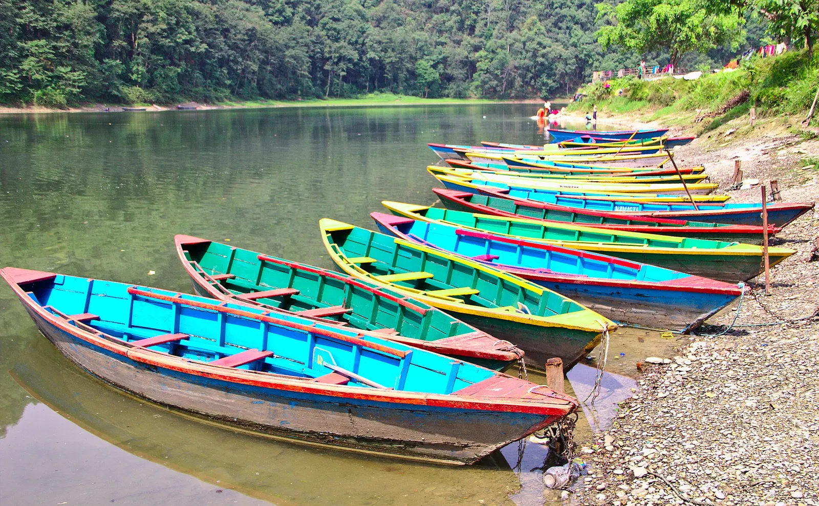
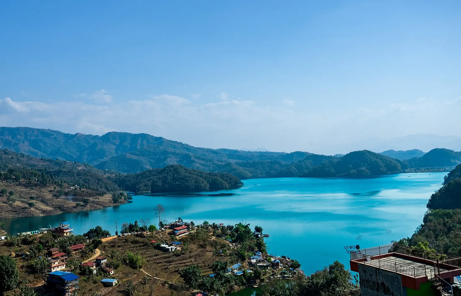
A quieter freshwater lake in the east of the Pokhara valley, ringed by forested ridges, rice terraces and fish farms.
Pokharaफेवा ताल
Pokhara's main lake, with rowing boats, an island temple and Machhapuchhre reflected on still mornings.
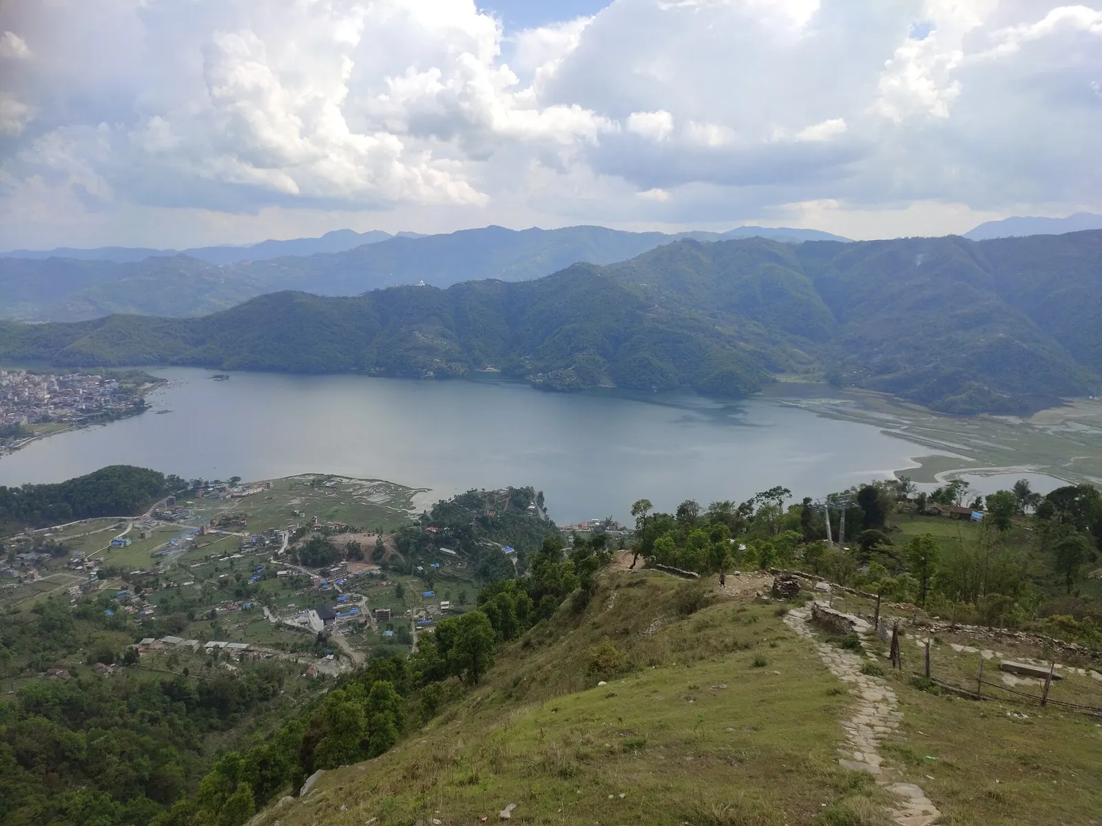
Phewa Tal is the lake at the heart of Pokhara, and the reason the city's tourist district, Lakeside (Baidam), exists. It is roughly 4 km long and up to 2 km wide, covering about 5.7 sq km, with an average depth of under 9 m and a maximum of about 24 m. Forested hills rise straight from its southern and western shores, while the city fills the flatter east side. The Annapurna range lies about 28 km to the north, and on calm, clear mornings Machhapuchhre and the Annapurnas are reflected on the water.
Most visits centre on the water. Painted wooden rowing boats and paddle boats can be hired along the Lakeside shore, with or without a boatman, and the short crossing to Tal Barahi, the island temple in the lake, is the most common trip. Rowing on to the south shore lets you climb through forest to the World Peace Pagoda, which looks back down over the whole lake. Sarangkot rises above the north shore, and paragliders from its ridge circle over the water and land near the lakeside.
A lakeshore path runs along much of the eastern and northern edge and is a pleasant walk at dawn or sunset. Beyond Lakeside, the north shore leads to quieter villages such as Pame and Khapaudi, popular with cyclists. At the southern end the lake is held back by a dam at Damside, and its outflow feeds Davis Falls a short way downstream.
Sediment studies suggest the lake formed roughly 14,000-15,000 years ago, when river gravels and debris from the Annapurna range blocked side valleys of the Pokhara basin. It was once known as Baidam Tal, the name now kept for the Lakeside neighbourhood. The lake has been slightly enlarged by damming for hydropower and irrigation; the dam failed in 1974 and was later rebuilt, and the Phewa power house below the outflow still generates electricity. Part of the lake is used for cage fish farming, and fishing families from nearby villages work the water.
The island shrine of Tal Barahi makes the lake a place of worship as well as recreation, and Saturdays bring many local pilgrims. Local folklore tells of a goddess who came to a village in the valley disguised as an old woman; only one household fed her, and she warned them before the valley flooded to form the lake. This is a legend, told in several versions. Today the main concerns are environmental: silt from the monsoon catchment, encroachment on the shoreline and invasive water hyacinth, which local groups clear by hand.
Hire a rowing boat
Boats are rented by the hour from stands along Lakeside; go early for calm water and clear mountains, and wear the life jacket provided.
Visit Tal Barahi
The island temple is a few minutes by boat from Lakeside; a shared ferry runs when it is busy.
Boat and hike to the pagoda
Cross to the south shore by boat and climb about 45-60 minutes through forest to the World Peace Pagoda.
Cycle the north shore
A road and track lead west from Lakeside past Khapaudi and Pame, with rice fields and views back over the water.
Forecast for 742 m. Conditions change fast in the mountains.
Weather data: MET Norway, licensed CC BY 4.0. A forecast, not a guarantee.
Feb-Apr, Oct-Dec
Lakeside has the most choice along the eastern shore; Damside, at the southern tip near the dam, is quieter. A few lodges sit on the north and south shores away from the town.
No partner stays are listed here yet. List a property.
The lake is inside Pokhara city: Lakeside and Damside face it directly, about 4 km from the old city centre at Chipledhunga.
Nearest hub: Pokhara
None needed
No permit or entry fee is needed to visit the lake. Boat hire is paid by the hour at the boat stands.
Verify before travel: permit rules and fees change. Checked 2026-10-06 against Pokhara (Wikivoyage).
Swimming is not recommended because the water is deep, cold in places and has weeds. Boating with a life jacket is the usual way to enjoy the lake.
It is about 4 km long and up to 2 km wide, covering roughly 5.7 sq km, with a maximum depth of about 24 m.
Early mornings from October to April give the best chance, when the air is clear and the water is calm.
No. The lakeshore is free; you only pay for boat hire.
Lake · 650 m
A quieter freshwater lake in the east of the Pokhara valley, ringed by forested ridges, rice terraces and fish farms.
Viewpoint · 780 m
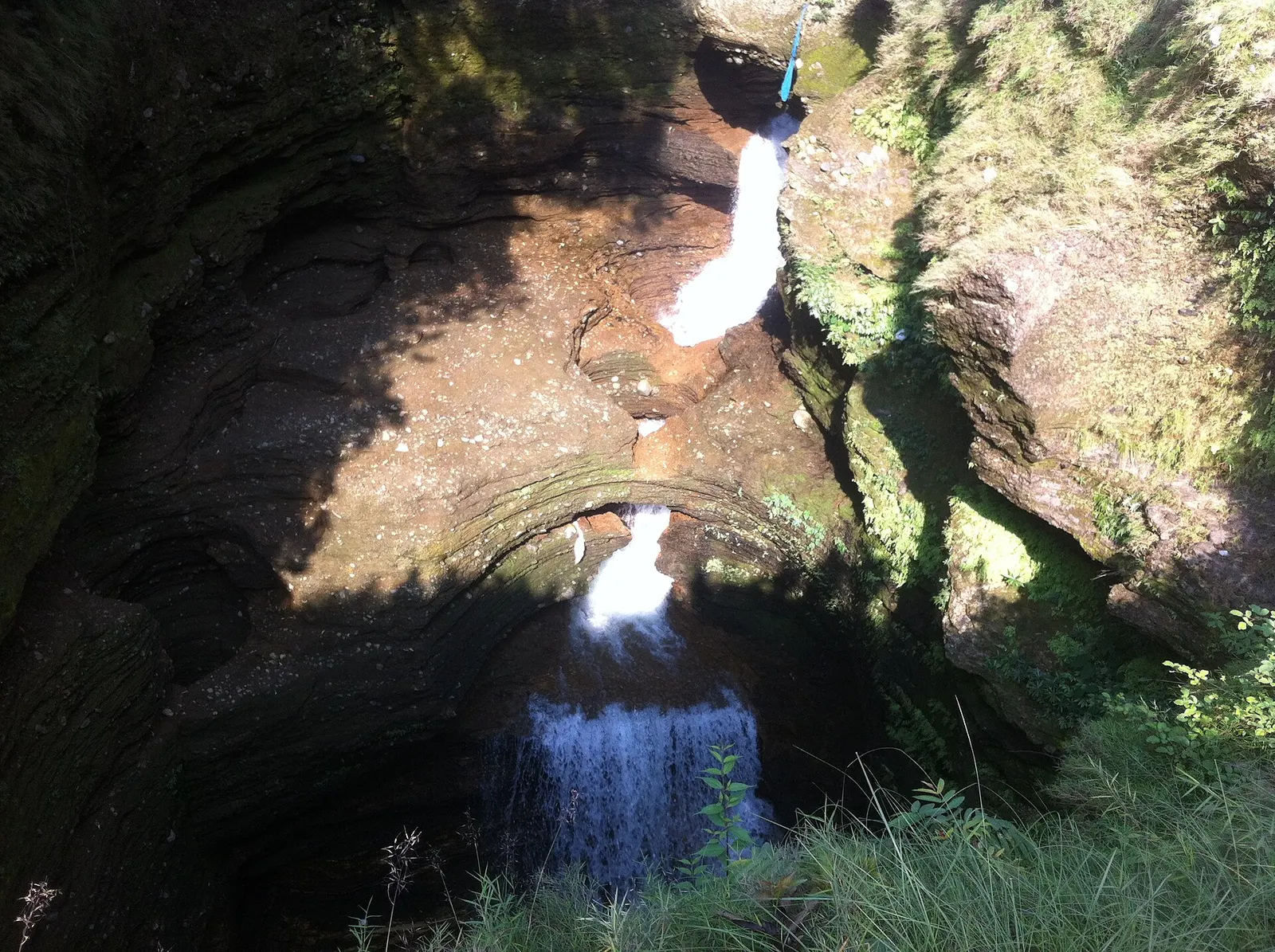
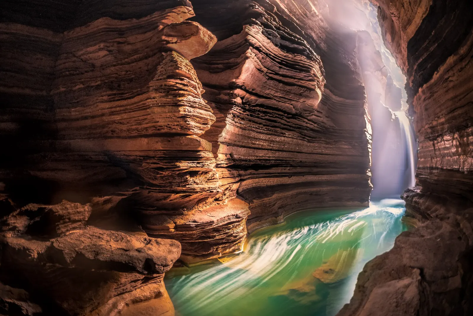
A waterfall in south Pokhara where the outflow of Phewa Tal drops into a narrow chasm and disappears underground.
Temple, monastery or heritage site · 778 m
A Shiva cave shrine in south Pokhara, with a lower passage that ends behind the falling water of Davis Falls.
Temple, monastery or heritage site · 797 m
A museum in south Pokhara on the Himalaya's peaks, the people who climb them and the communities who live among them.
Lake · 2,546 m
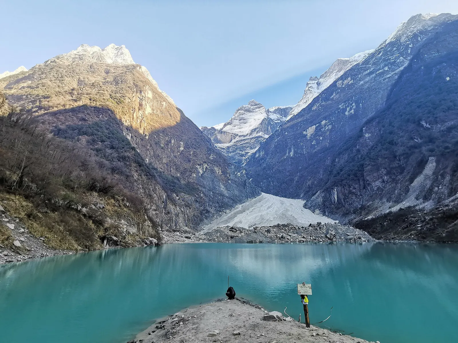
A glacier lake at about 2,546 m beneath Annapurna II and Lamjung Himal, reached by a short trek from the Gurung village of Sikles.
Viewpoint · 2,517 m
A forested hill at about 2,500 m west of Phewa Tal, with a temple and pond on top and views of the Annapurna and Dhaulagiri ranges.
Lake · 600 m
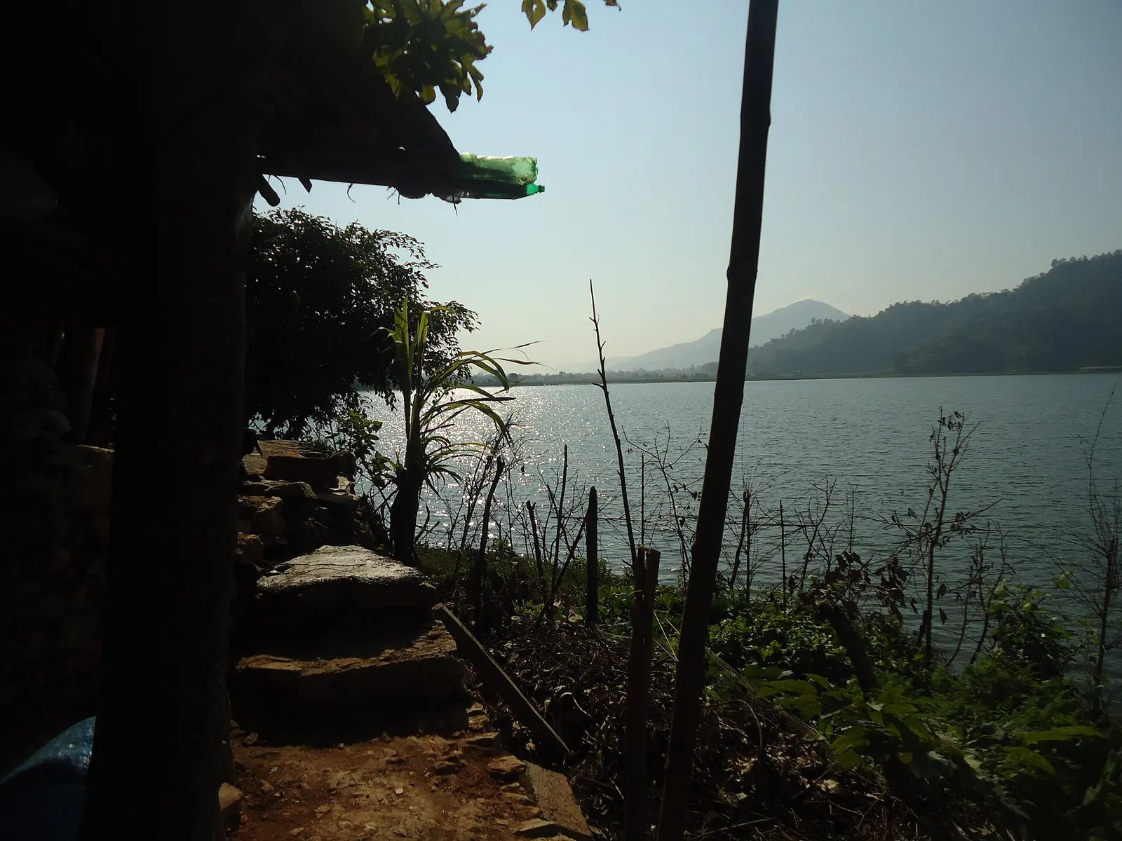
A small, shallow lake beside Begnas in the east of the Pokhara valley, managed by a local fisheries cooperative and rich in waterbirds.
Viewpoint · 1,600 m
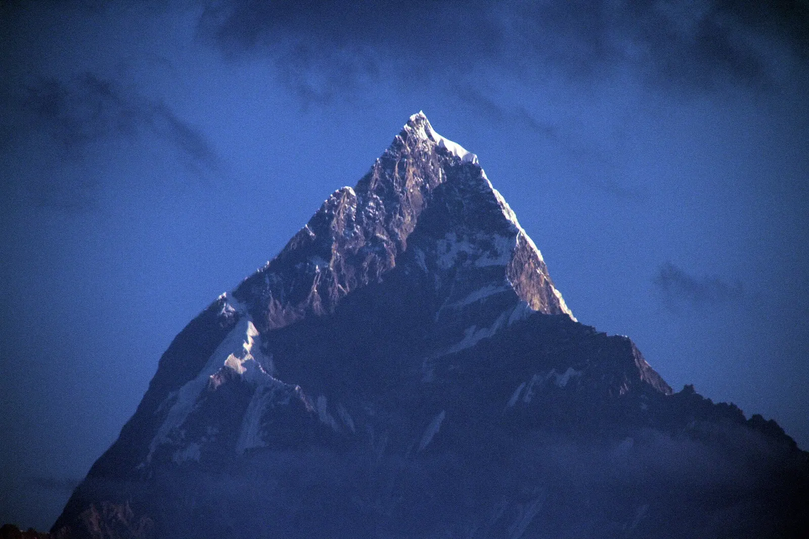
A ridge-top viewpoint on Pokhara's western edge, known for sunrise over the Annapurnas and as the city's paragliding launch.
National park or conservation area
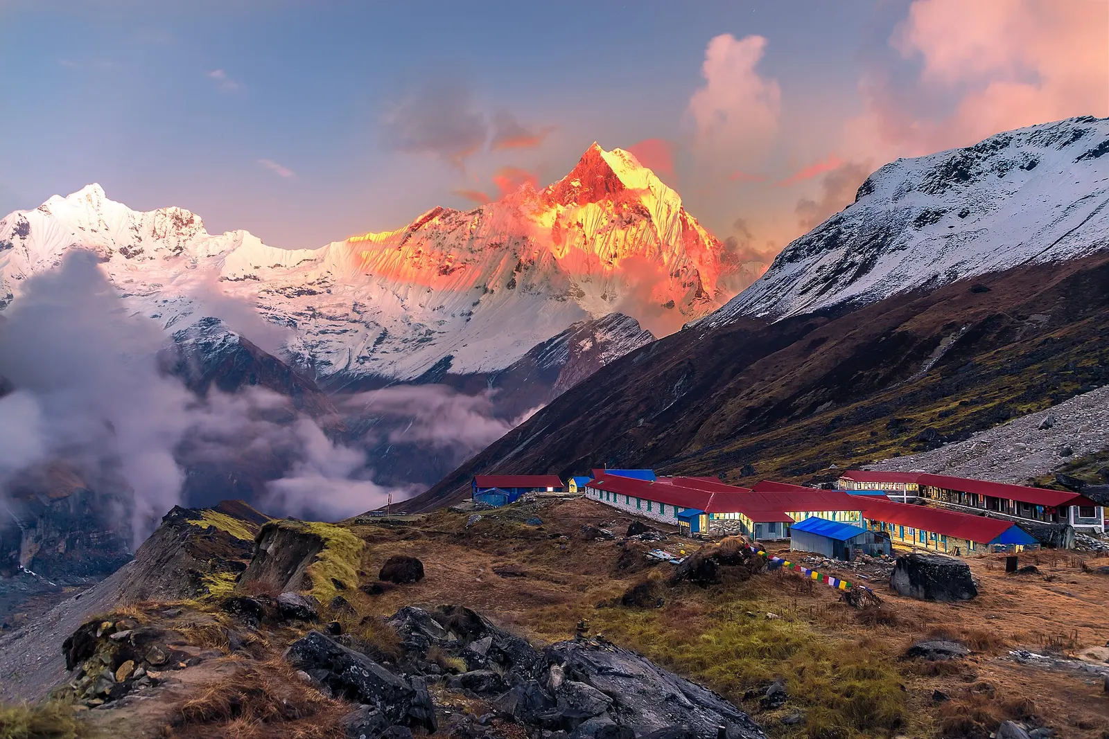
Nepal's largest protected area, from Gurung hill villages and rhododendron forest to the dry valleys behind the Annapurna range.