

Lake · 650 m
Begnas Lake
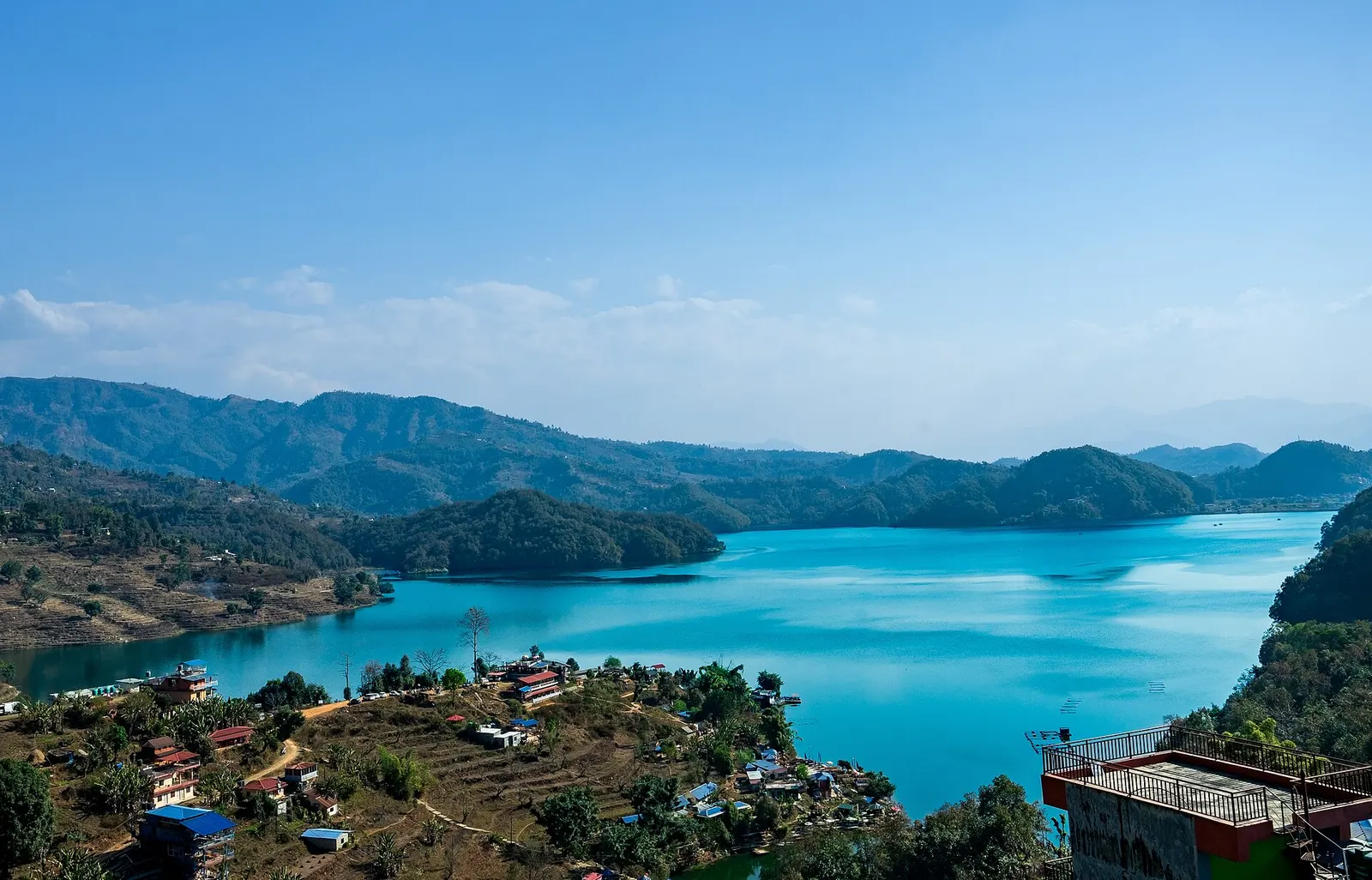
A quieter freshwater lake in the east of the Pokhara valley, ringed by forested ridges, rice terraces and fish farms.
Pokharaगुप्तेश्वर महादेव गुफा
A Shiva cave shrine in south Pokhara, with a lower passage that ends behind the falling water of Davis Falls.
The Shiva cave shrine opposite Davis Falls in Pokhara, not the Gupteshwor caves elsewhere in Nepal and India.
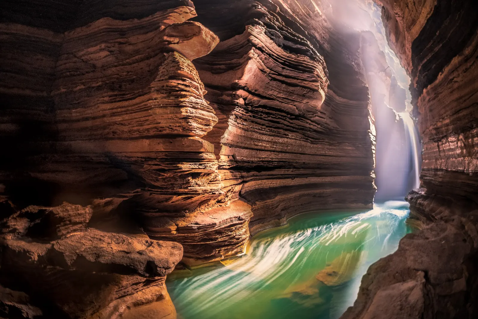
Gupteshwor Mahadev Cave lies in Chhorepatan, Pokhara-17, directly across the Siddhartha Highway from Davis Falls. The name means the hidden lord, Gupteshwor being an epithet of Shiva. A spiral stairway leads down from the roadside entrance into the cave, where the first chamber holds a large natural stalagmite worshipped as a Shiva lingam. Bells, offerings and a steady stream of devotees make this part of the cave a working shrine.
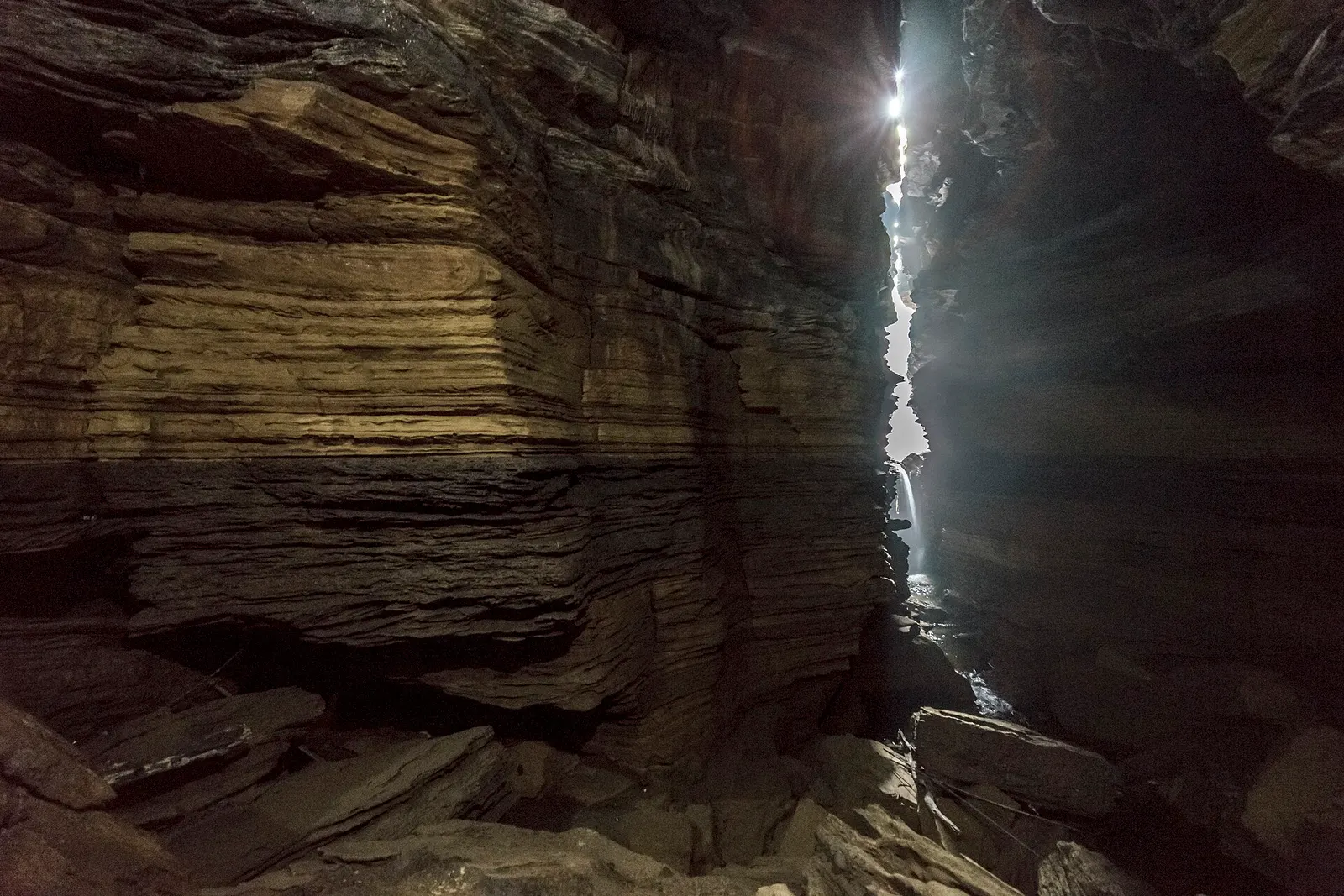
Beyond the shrine a separate, damper passage continues down over wet rock and steps to a chamber where the stream that disappeared at Davis Falls bursts through a crack in the rock. Daylight filters in from above, and in high water the noise and spray fill the space. The walk is short but uneven, with low ceilings in places, and the steps can be slippery.
Within Pokhara, the cave is part of the south-side group with Davis Falls and the World Peace Pagoda, and most visitors see the falls and the cave together in an hour or two.
For Hindus the cave is a pilgrimage site of Shiva (Mahadev), and it draws large crowds at Shivaratri, the night of Shiva in February or March, as well as on Mondays and during the month of Shrawan in the monsoon. Local accounts say the cave was rediscovered by villagers in the mid-20th century; the exact date and circumstances vary between tellings. The shrine and its facilities are managed locally, and visitor tickets help maintain the stairs, lighting and the temple.
Scientifically, the cave is part of the karst-like system that runs beneath the gravel and conglomerate floor of the Pokhara Valley. British researchers surveyed it in the 1970s, recording the stream from Phewa Tal running through it and cataloguing cave animals, including leaf-nosed bats, fruit bats and tiny springtails. A German expedition in the 1980s mapped more than 2 km of passages. Visitors see only a small part of the system.
Visit the shrine chamber
Descend the stairs to the main chamber with the Shiva lingam; follow the queue and the priests' instructions.
See the falls from below
Continue down the lower passage to the viewing point where the Davis Falls stream emerges; expect wet, uneven steps.
Pair with Davis Falls
Cross the road to Davis Falls to see where the water first disappears underground.
Forecast for 778 m. Conditions change fast in the mountains.
Weather data: MET Norway, licensed CC BY 4.0. A forecast, not a guarantee.
Feb-Mar, Aug-Nov
Most visitors stay in Lakeside or Damside, 15-20 minutes away. A few simple guesthouses are in Chhorepatan.
No partner stays are listed here yet. List a property.
The cave entrance is on the Siddhartha Highway in Chhorepatan, opposite Davis Falls, on the southern edge of Pokhara.
Nearest hub: Pokhara
Entry fee
An entry ticket is charged at the gate; foreigners pay more than Nepali visitors. The lower passage to the waterfall view may be ticketed separately.
Verify before travel: permit rules and fees change. Checked 2026-10-06 against Pokhara (Wikivoyage).
A shrine chamber with a large stalagmite worshipped as a Shiva lingam, and a lower passage where the stream from Davis Falls pours through the rock.
Yes, it is directly across the Siddhartha Highway from Davis Falls in Chhorepatan, and most visitors see both together.
Yes, a ticket is sold at the entrance, with higher rates for foreigners.
Photography is usually not permitted in the shrine chamber; check the signs and ask staff.
Lake · 650 m
A quieter freshwater lake in the east of the Pokhara valley, ringed by forested ridges, rice terraces and fish farms.
Viewpoint · 780 m
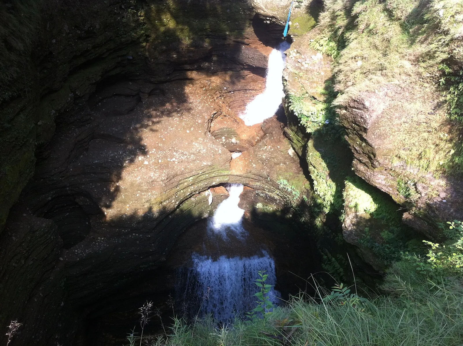
A waterfall in south Pokhara where the outflow of Phewa Tal drops into a narrow chasm and disappears underground.
Temple, monastery or heritage site · 797 m
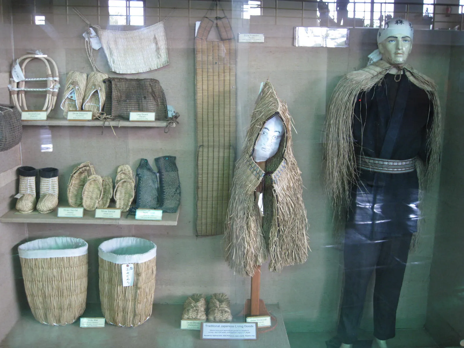
A museum in south Pokhara on the Himalaya's peaks, the people who climb them and the communities who live among them.
Lake · 2,546 m
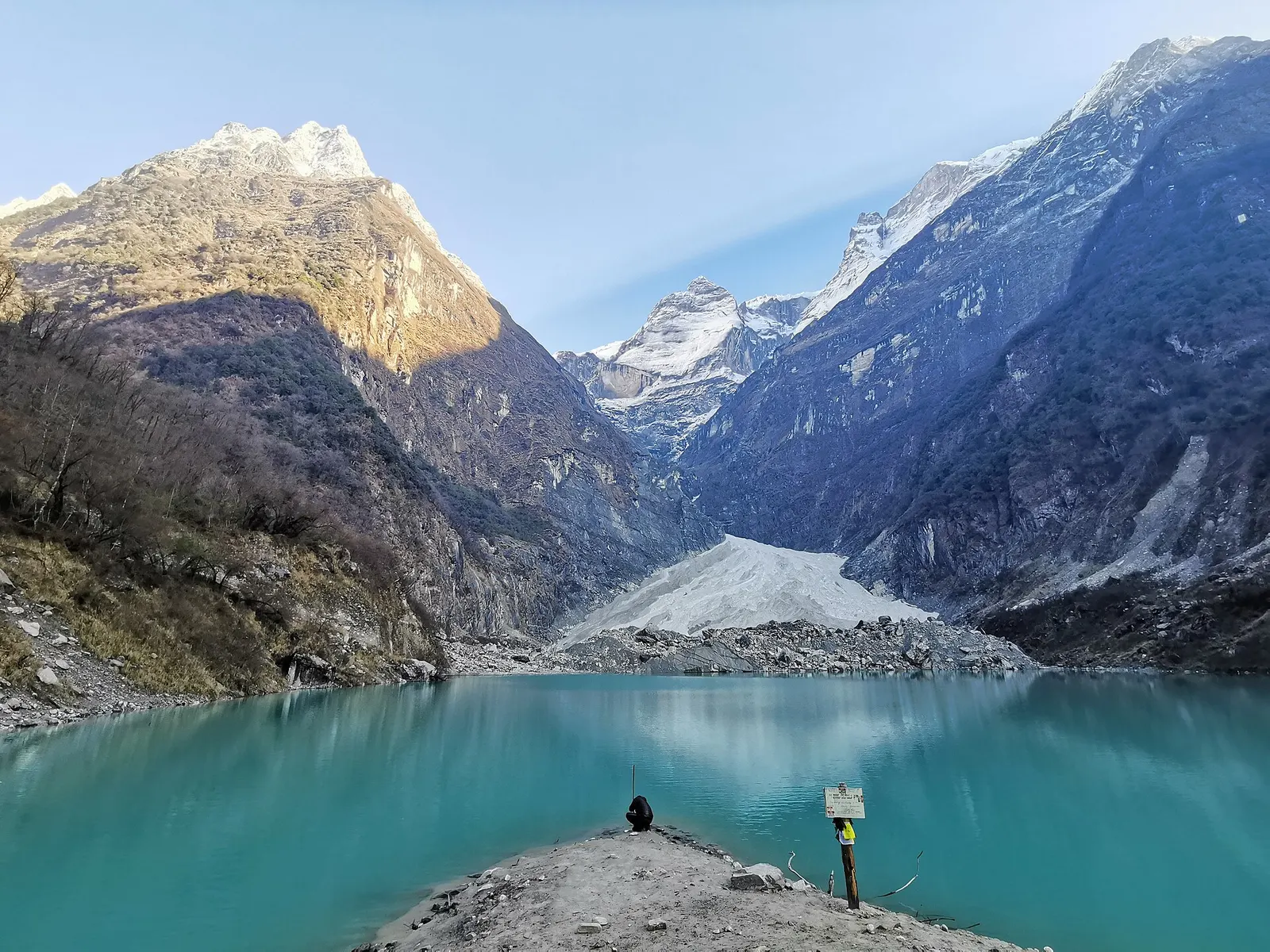
A glacier lake at about 2,546 m beneath Annapurna II and Lamjung Himal, reached by a short trek from the Gurung village of Sikles.
Viewpoint · 2,517 m
A forested hill at about 2,500 m west of Phewa Tal, with a temple and pond on top and views of the Annapurna and Dhaulagiri ranges.
Lake · 742 m
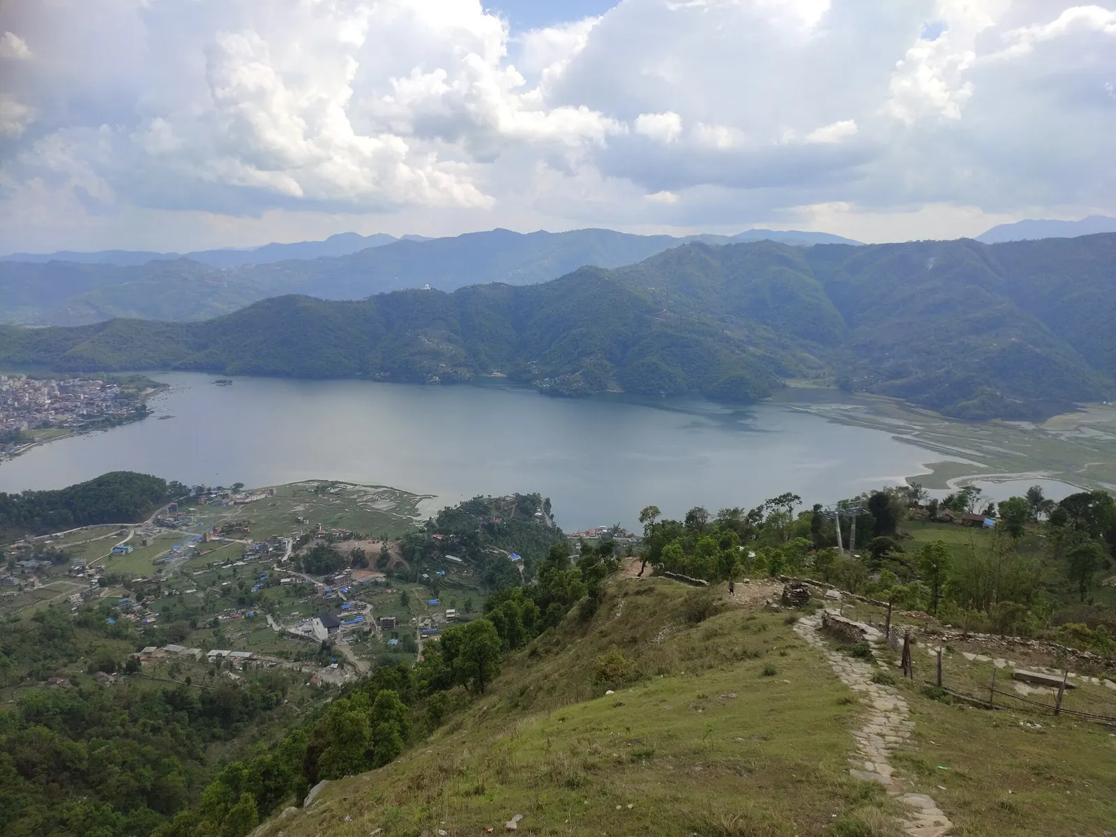
Pokhara's main lake, with rowing boats, an island temple and Machhapuchhre reflected on still mornings.
Lake · 600 m
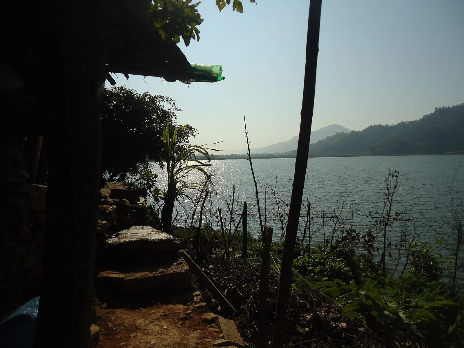
A small, shallow lake beside Begnas in the east of the Pokhara valley, managed by a local fisheries cooperative and rich in waterbirds.
Viewpoint · 1,600 m
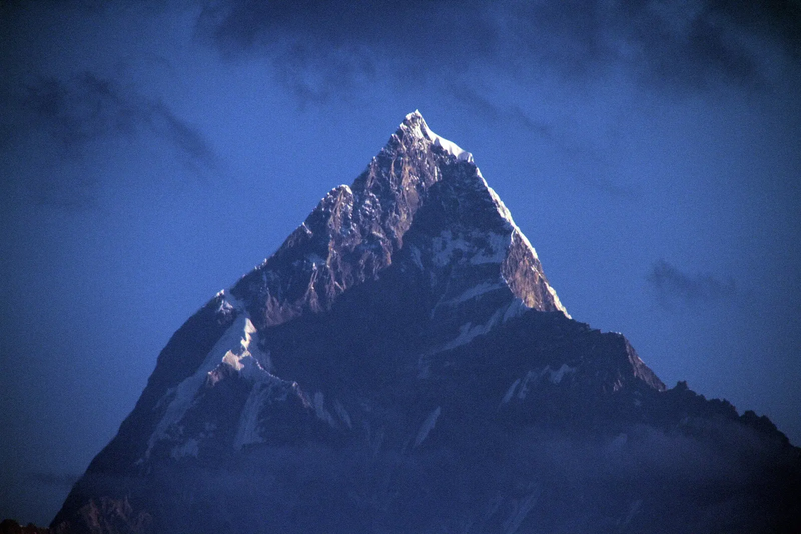
A ridge-top viewpoint on Pokhara's western edge, known for sunrise over the Annapurnas and as the city's paragliding launch.
National park or conservation area
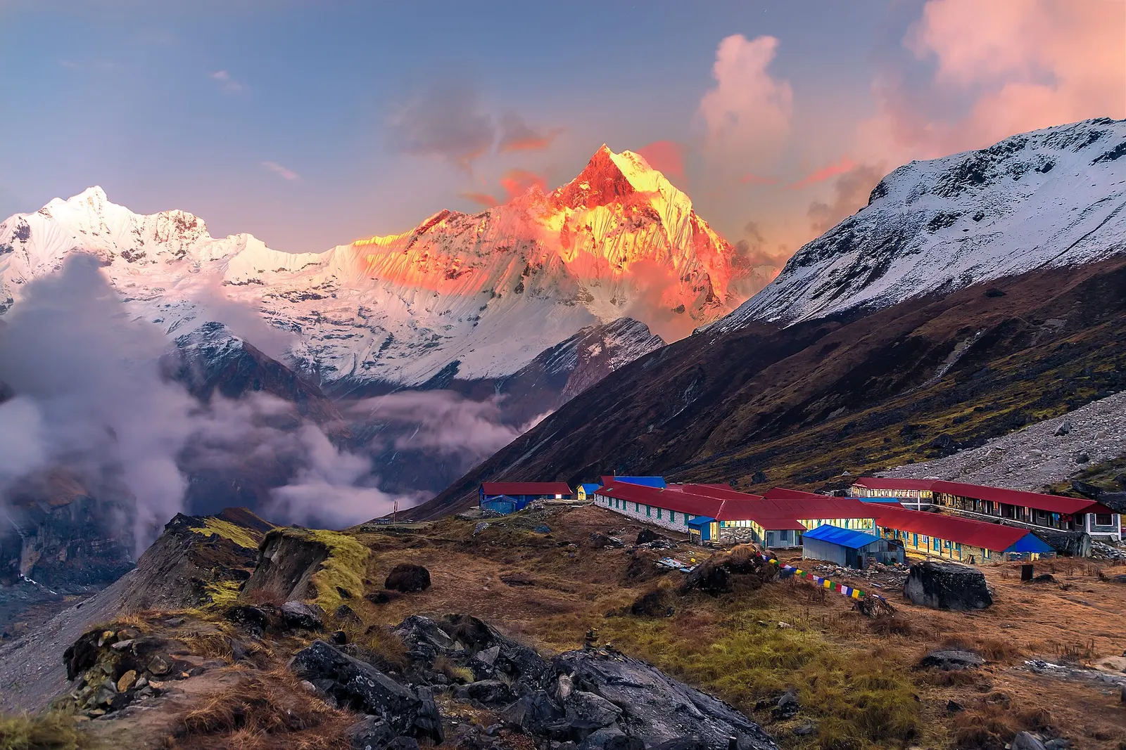
Nepal's largest protected area, from Gurung hill villages and rhododendron forest to the dry valleys behind the Annapurna range.