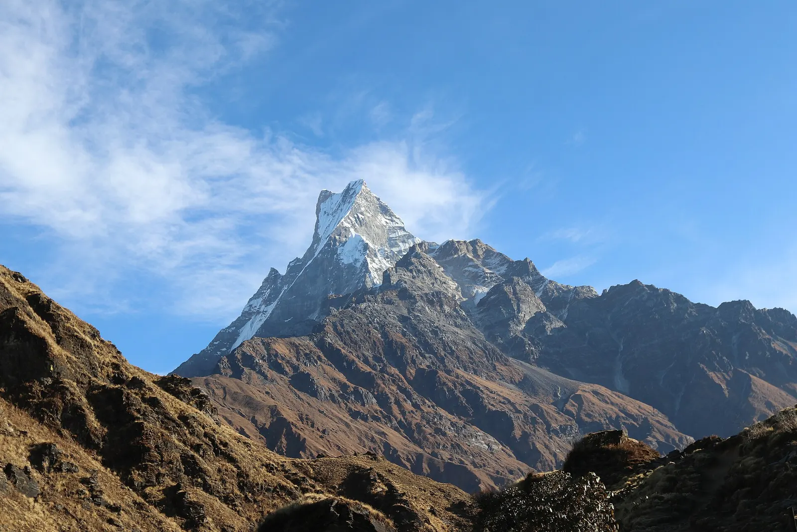
A ridge trek from Kande near Pokhara through rhododendron forest to the open crest below Machhapuchhre, with a day climb to Mardi Himal Base Camp at about 4,500 m.
- Days
- 6 days
- Maximum altitude
- 4,500 m
- Difficulty
- Moderate
Pokharaपञ्चासे
A forested hill at about 2,500 m west of Phewa Tal, with a temple and pond on top and views of the Annapurna and Dhaulagiri ranges.
Panchase is a forested hill rising to about 2,517 m on the meeting point of Kaski, Parbat and Syangja districts, west of Phewa Tal. From the summit, reached in about an hour from the saddle village of Panchase Bhanjyang, the view takes in Dhaulagiri, the Annapurnas, Machhapuchhre and Manaslu, with Pokhara and Phewa Tal below.
The hill is the goal of the Panchase trek, a 2-3 day walk from Pokhara that starts from Bhadaure, Ghatichhina or Bhumdi. It is a lower, quieter alternative to the Annapurna treks and is outside the Annapurna Conservation Area.
Near the summit there is a small temple beside the Panchase pond. Below, the forest of oak, rhododendron and laurel is thick and damp, and the trail is often quiet outside festival days.
Panchase Bhanjyang, the saddle village where most trekkers sleep, has a few lodges and homestays and its own sunrise and sunset viewpoints. From there trails lead down in several directions: east to Bhadaure and the road to Pokhara, south-east to Bhumdi and the Phewa Tal shore, and north-east along the ridge towards Australian Camp and Dhampus for a longer walk.
Panchase is a pilgrimage site for Hindus, with a Shiva shrine and the Panchase pond near the top, and fairs held at festival times. The surrounding forest was declared the Panchase Protected Forest in 2011-2012 for its biodiversity, including well over a hundred orchid species, and its role as a source of springs for villages below. Villages around the hill are mainly Gurung, with Magar, Brahmin and Chhetri communities.
Sunrise climb
Walk about an hour from Panchase Bhanjyang to the summit before dawn.
Forest walking
Trails through the protected forest pass moss-covered oak and rhododendron with orchids on the trees.
Forecast for 2,517 m. Conditions change fast in the mountains.
Weather data: MET Norway, licensed CC BY 4.0. A forecast, not a guarantee.
Feb-Apr, Oct-Dec
A few lodges and homestays at Panchase Bhanjyang, below the summit.
No partner stays are listed here yet. List a property.
Panchase is reached on foot from road heads west of Pokhara.
Nearest hub: Pokhara
None needed
Panchase is outside the Annapurna Conservation Area and no trekking permit is reported for the standard route.
Verify before travel: permit rules and fees change. Checked 2026-10-06 against Panchase trek, Nepal: itinerary and route, Travelling Mandala.
On the Panchase trek.
A ridge trek from Kande near Pokhara through rhododendron forest to the open crest below Machhapuchhre, with a day climb to Mardi Himal Base Camp at about 4,500 m.
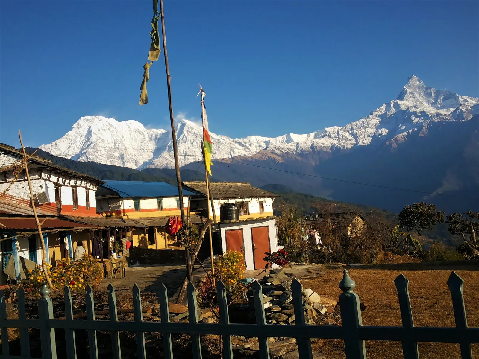
A one- or two-day walk from Kande near Pokhara to Australian Camp, a grassy viewpoint at about 2,060 m facing the Annapurnas and Machhapuchhre, returning via Dhampus and Phedi.
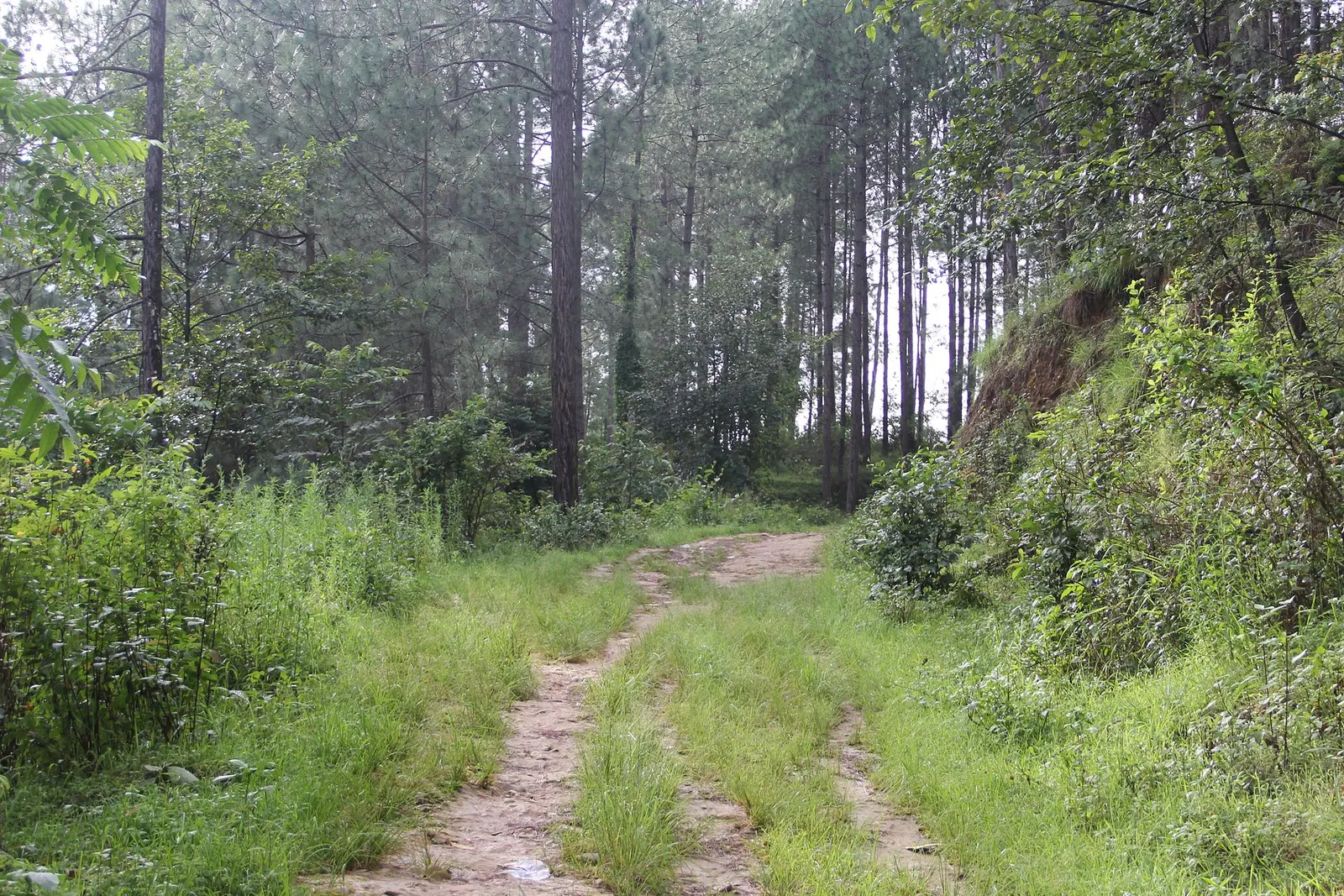
A short, low walk south-east of Kathmandu from Dhulikhel to the Buddhist pilgrimage site of Namo Buddha, on to the farming village of Balthali, and down to the old Newar town of Panauti. No permit needed.
The summit is about 2,517 m; Panchase Bhanjyang, where most people sleep, is about 2,050-2,070 m.
No trekking permit is reported for the standard route, which is outside the Annapurna Conservation Area.
Usually 2-3 days from Pokhara.
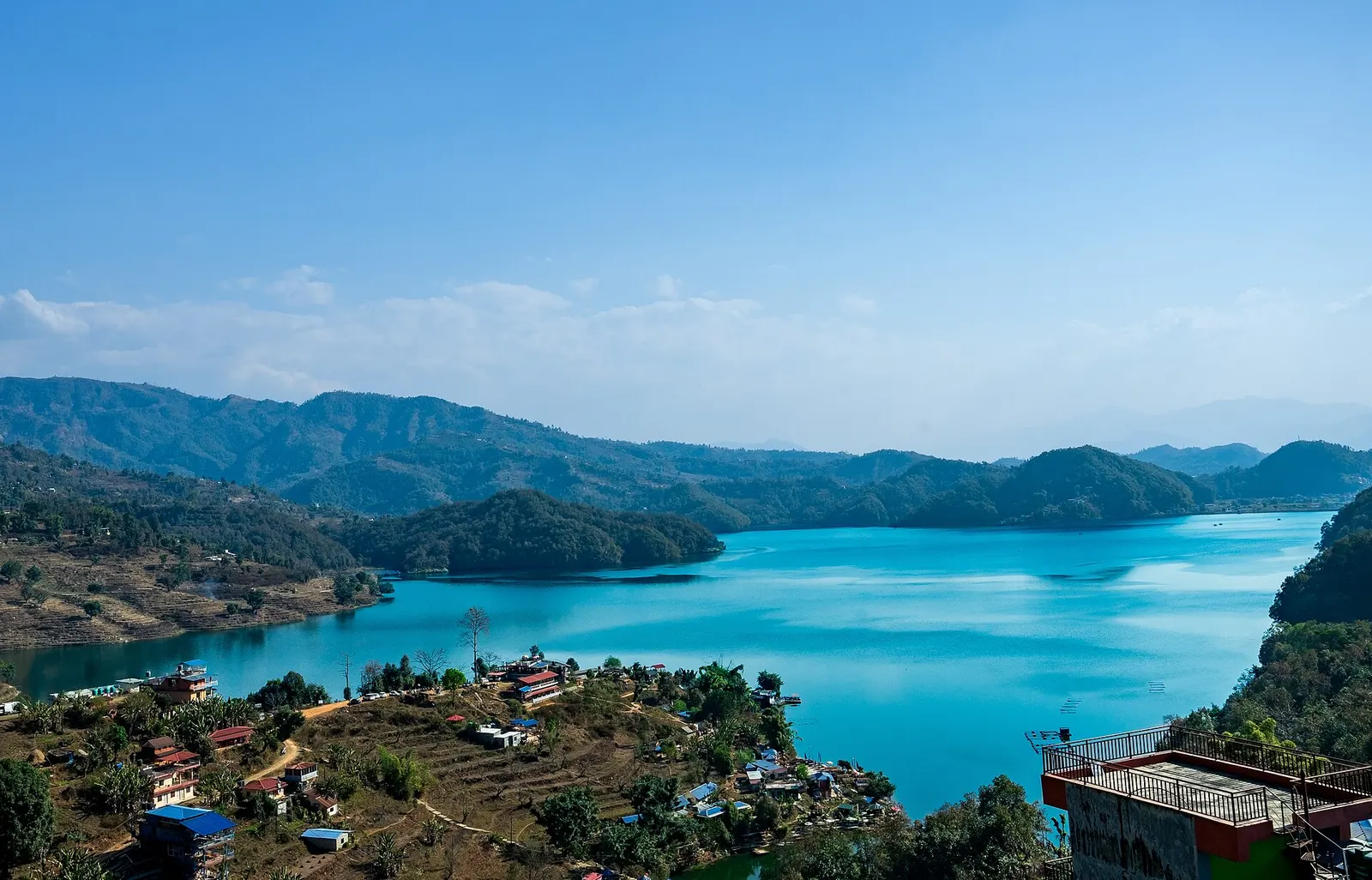
Lake · 650 m
A quieter freshwater lake in the east of the Pokhara valley, ringed by forested ridges, rice terraces and fish farms.
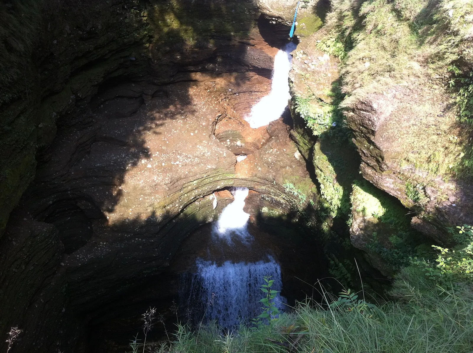
Viewpoint · 780 m
A waterfall in south Pokhara where the outflow of Phewa Tal drops into a narrow chasm and disappears underground.
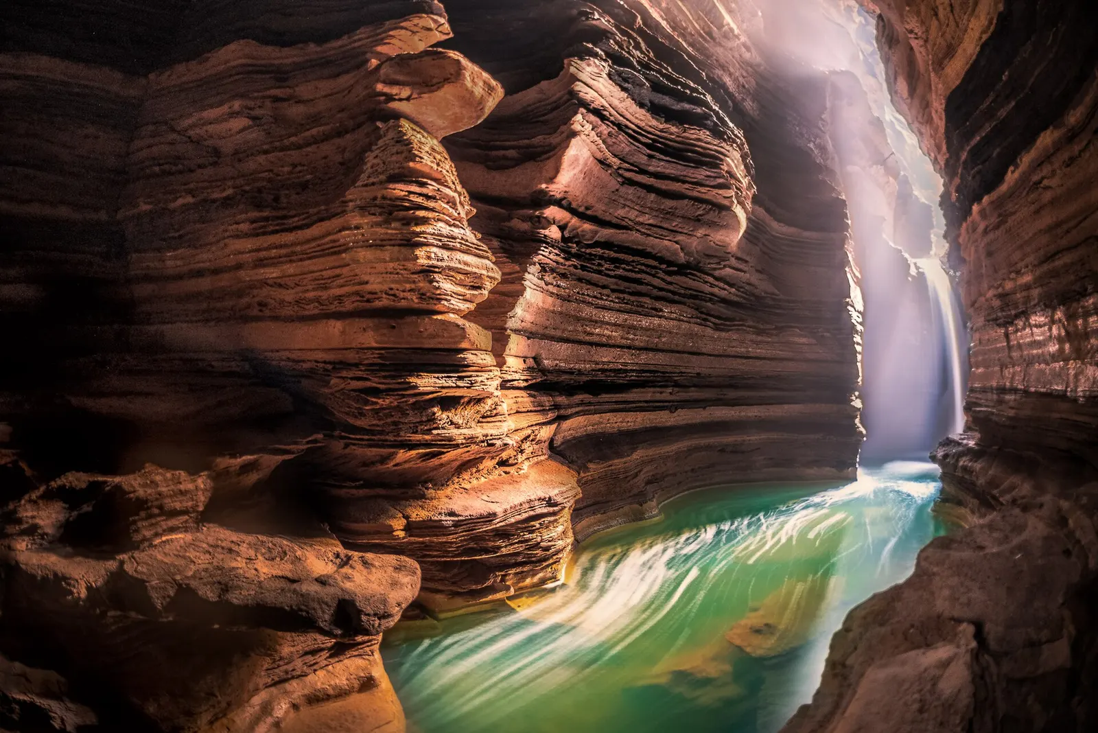
Temple, monastery or heritage site · 778 m
A Shiva cave shrine in south Pokhara, with a lower passage that ends behind the falling water of Davis Falls.
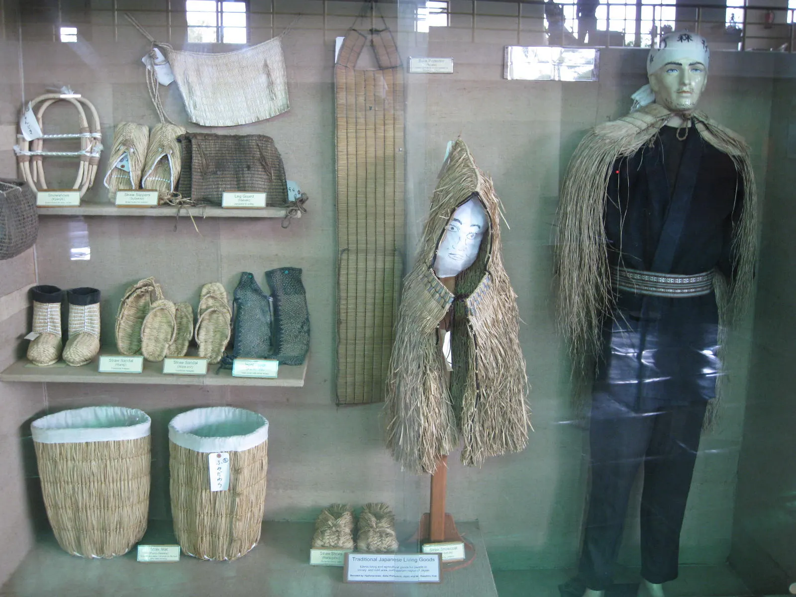
Temple, monastery or heritage site · 797 m
A museum in south Pokhara on the Himalaya's peaks, the people who climb them and the communities who live among them.
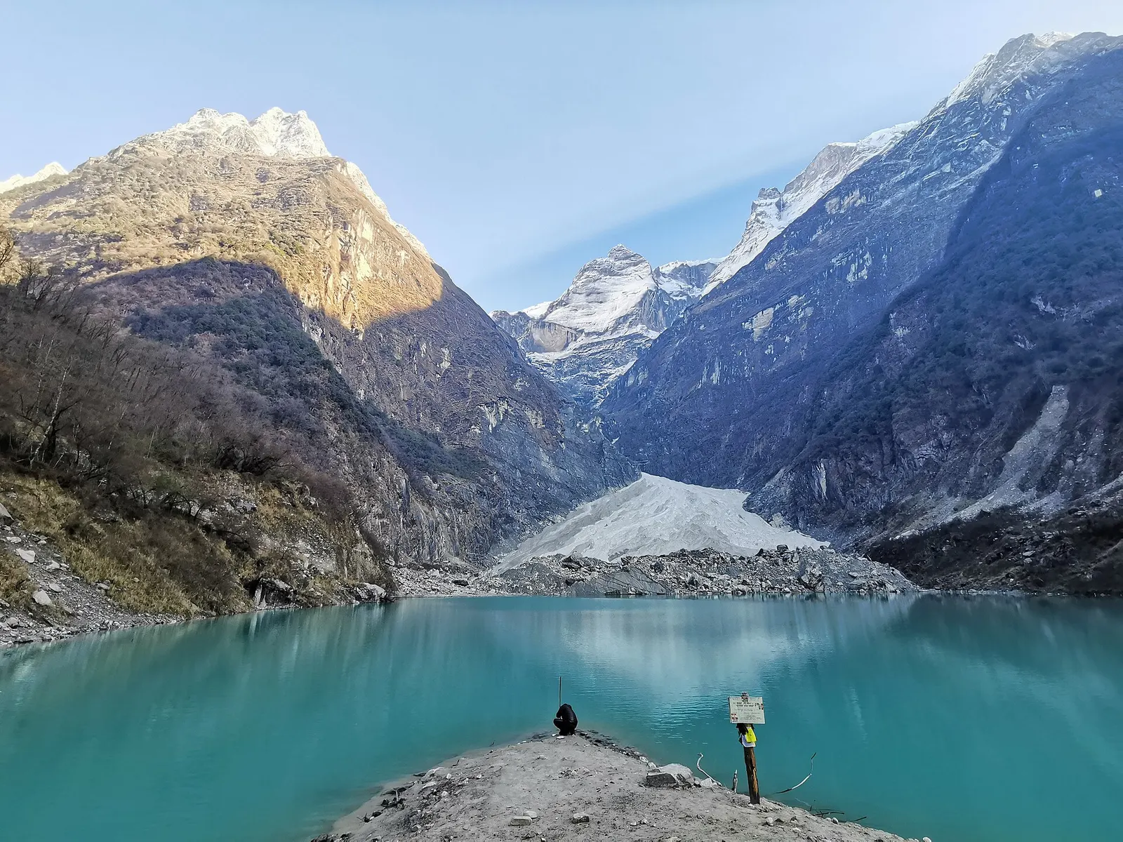
Lake · 2,546 m
A glacier lake at about 2,546 m beneath Annapurna II and Lamjung Himal, reached by a short trek from the Gurung village of Sikles.
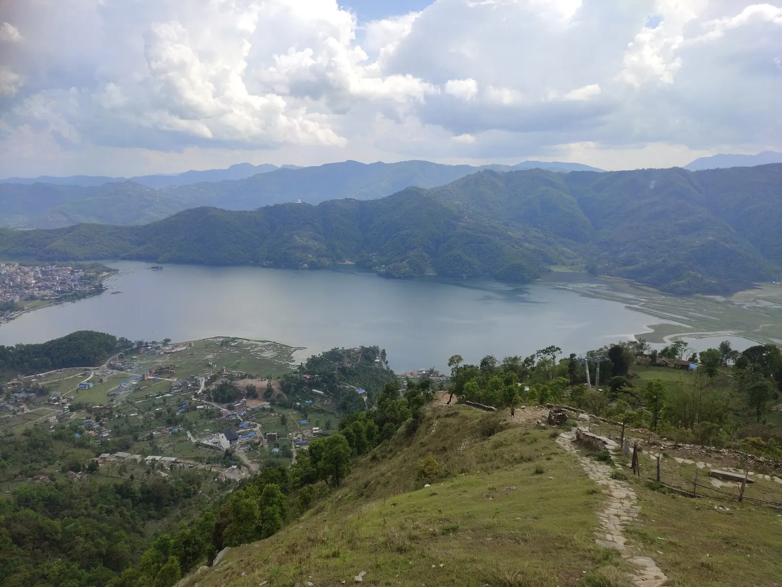
Lake · 742 m
Pokhara's main lake, with rowing boats, an island temple and Machhapuchhre reflected on still mornings.
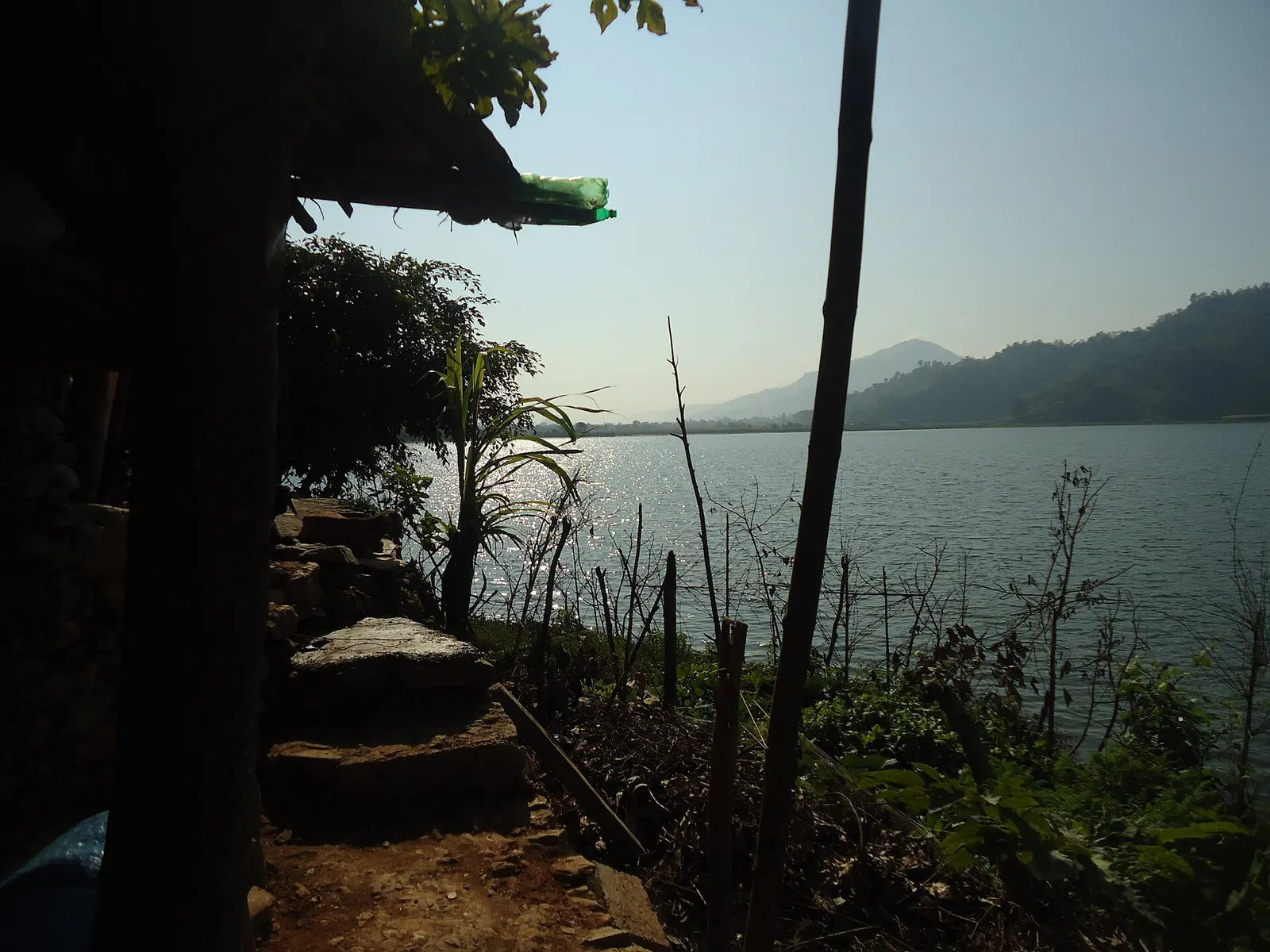
Lake · 600 m
A small, shallow lake beside Begnas in the east of the Pokhara valley, managed by a local fisheries cooperative and rich in waterbirds.
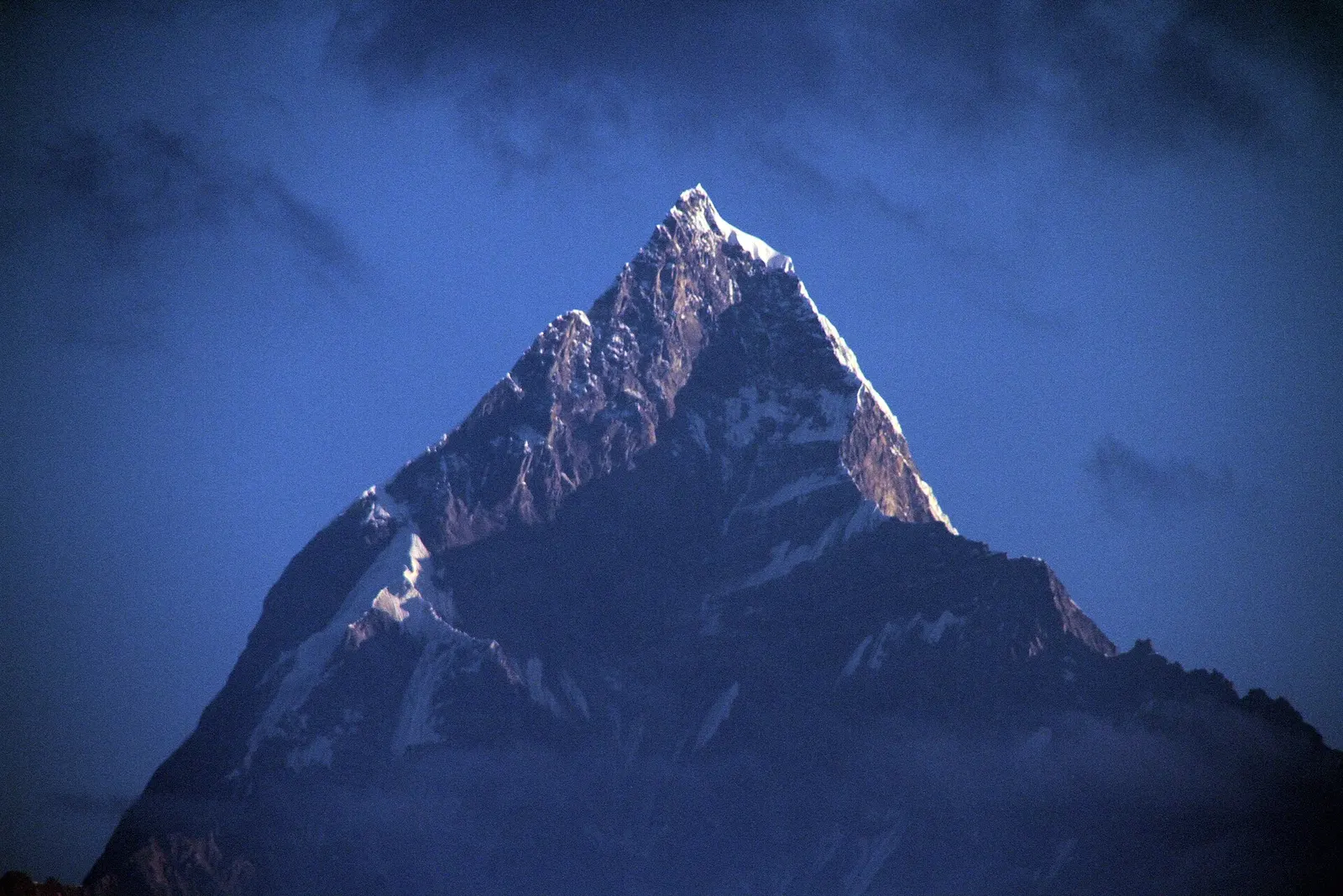
Viewpoint · 1,600 m
A ridge-top viewpoint on Pokhara's western edge, known for sunrise over the Annapurnas and as the city's paragliding launch.
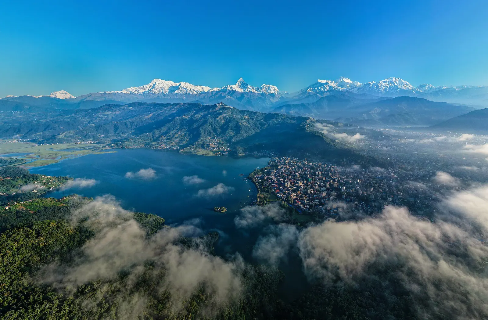
Town or village · 822 m
A lakeside city about 200 km west of Kathmandu, with the Annapurna range and Machhapuchhre rising close to the north.
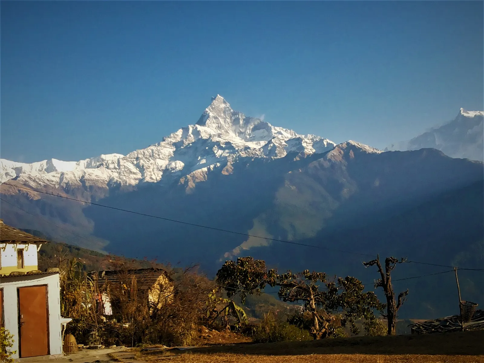
Trek stop · 2,060 m
A grassy clearing at about 2,060 m above Kande with a wide view of the Annapurna range and Machhapuchhre, an easy walk from the road.