
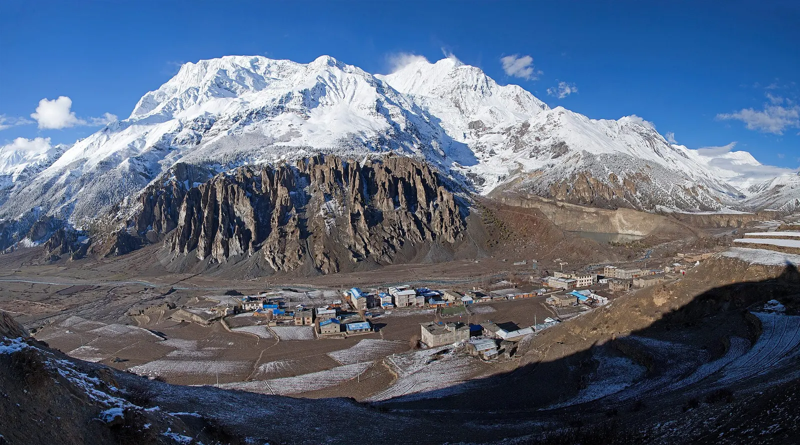
Town or village · 3,519 m
Manang
A high stone village in the upper Marsyangdi valley below Annapurna III and Gangapurna, where Circuit trekkers stop to acclimatise.
Annapurna Regionथोरोङ ला
The 5,416 m pass between Manang and Muktinath, the high point of the Annapurna Circuit.
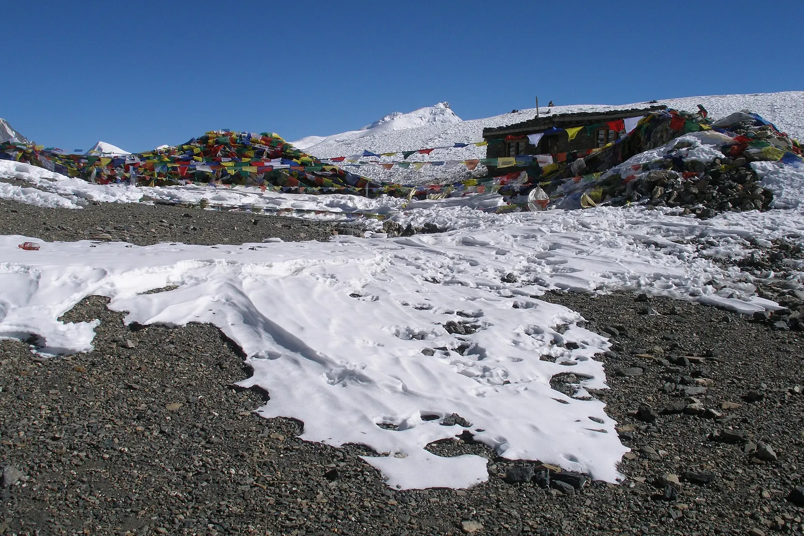
The Thorong La is a high pass at 5,416 m in the Damodar Himal, north of the Annapurna massif, on the border of Manang and Mustang districts. It links the upper Manang valley with the Muktinath valley and is the high point of the Annapurna Circuit, part of the wider Annapurna region.
Most trekkers cross from east to west: a pre-dawn climb of 4-5 hours from Thorong Phedi or 2-3 hours from High Camp to the prayer-flagged top, where a seasonal tea stall sometimes operates, then a long and steep descent of about 1,700 m to Muktinath. Crossing from the west is much harder, because it means climbing more than 1,200 m in a day without acclimatisation. Views take in Khatung Kang and Yakawa Kang beside the pass and the Dhaulagiri range to the west.
The pass has long been used by herders, traders and pilgrims travelling between Manang and the temple at Muktinath, which is sacred to Hindus and Buddhists. In October 2014 a blizzard brought by the remnants of Cyclone Hudhud dropped heavy snow around the pass within hours; dozens of trekkers, guides and local people died, and hundreds were rescued by helicopter. The disaster led to better weather warnings and more caution about crossing in poor conditions.
Cross from Thorong Phedi to Muktinath
Leave around 4-5 am, climb steadily to the pass and descend to Ranipauwa, usually 7-9 hours in all.
Visit Muktinath after the crossing
Rest in Ranipauwa and visit the temple with its 108 water spouts the following morning.
Forecast for 5,416 m. Conditions change fast in the mountains.
Weather data: MET Norway, licensed CC BY 4.0. A forecast, not a guarantee.
Mar-May, Oct-Nov
There is no accommodation on the pass; sleep at Thorong Phedi or High Camp before it and at Muktinath after it.
No partner stays are listed here yet. List a property.
Reached only on foot, from Thorong Phedi or High Camp on the Manang side.
Nearest hub: Manang
Permit required
Inside the Annapurna Conservation Area, so an ACAP permit is required.
Verify before travel: permit rules and fees change. Checked 2026-10-06 against National Trust for Nature Conservation (ACAP).
On the Annapurna Circuit.
About 5,416 m, the high point of the Annapurna Circuit.
Usually 7-9 hours from Thorong Phedi to Muktinath: about 4-5 hours up and 3-4 hours down.
Heavy snow can close it at any time, most often from December to March. Check conditions in Manang and at Thorong Phedi.
Town or village · 3,519 m
A high stone village in the upper Marsyangdi valley below Annapurna III and Gangapurna, where Circuit trekkers stop to acclimatise.
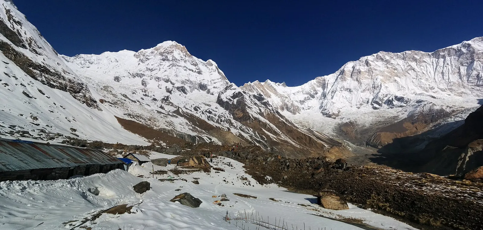
Trek stop · 4,130 m
Lodges at about 4,130 m in the glacial basin of the Annapurna Sanctuary, below the south face of Annapurna I.
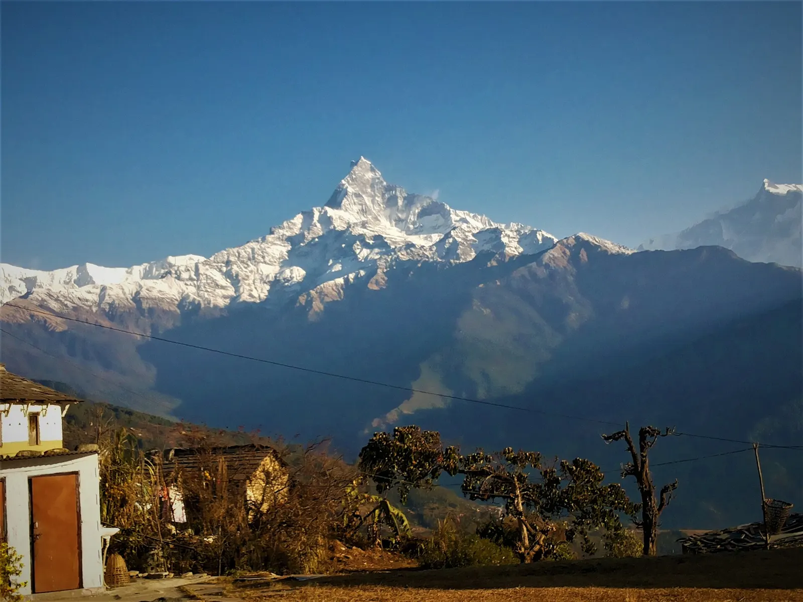
Trek stop · 2,060 m
A grassy clearing at about 2,060 m above Kande with a wide view of the Annapurna range and Machhapuchhre, an easy walk from the road.
Trek stop · 2,310 m
A group of lodges in the bamboo forest of the Modi Khola gorge, the first overnight stop above Chhomrong on the way to Annapurna Base Camp.
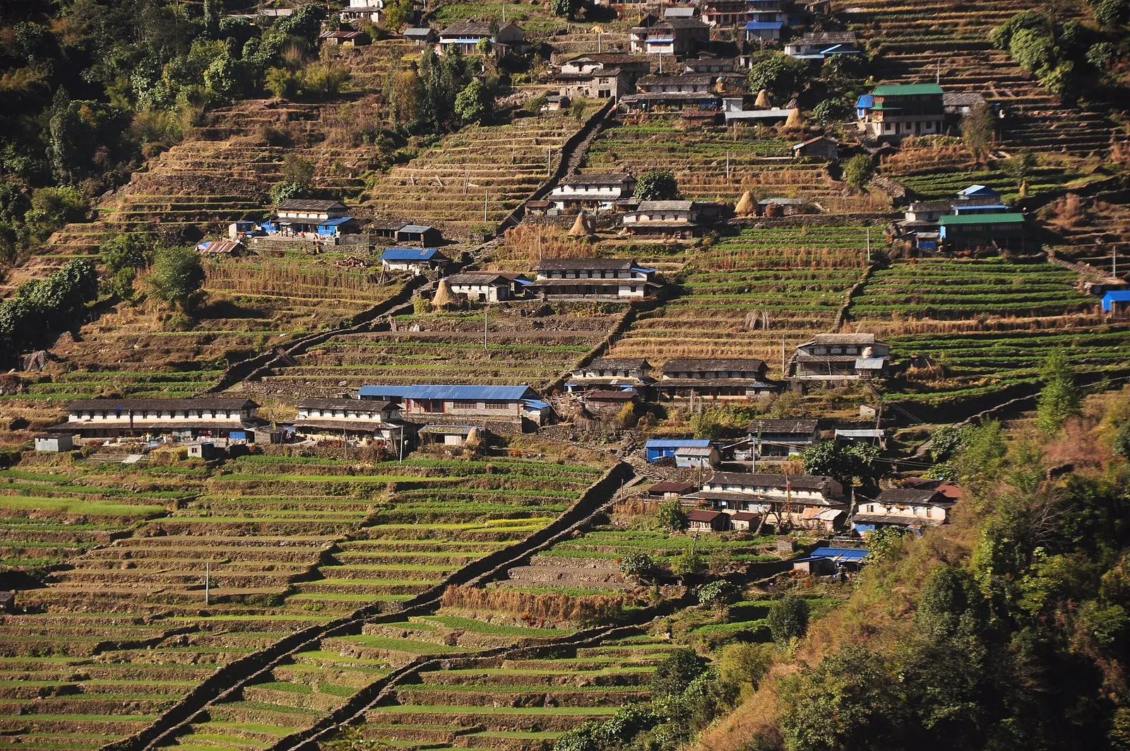
Trek stop · 2,170 m
The last permanent Gurung village before the Annapurna Sanctuary, built on a steep staircase facing Annapurna South and Machhapuchhre.
Trek stop · 3,200 m
The last lodges in the Modi Khola gorge before Machhapuchhre Base Camp, at about 3,200 m.
Trek stop · 1,650 m
A Gurung hill village above Phedi with views of Machhapuchhre and the Annapurnas, close to Pokhara.
Trek stop · 3,420 m
A small high lodge stop on the ridge between Tadapani and Khopra, the base for sunrise at the Muldai viewpoint.
Trek stop · 4,540 m
The lodges at the foot of the Thorong La, where Annapurna Circuit trekkers sleep before the pre-dawn climb to the pass.
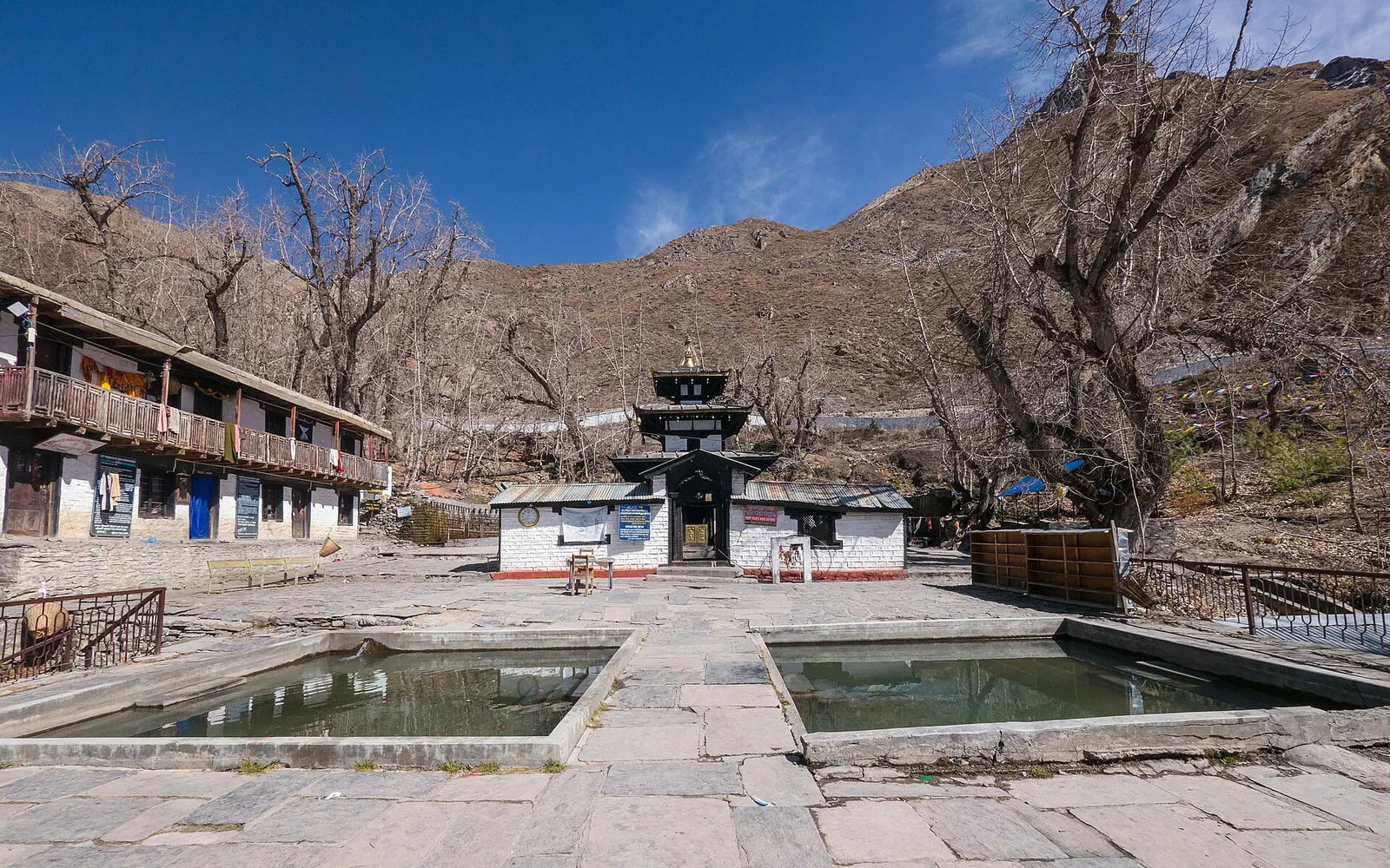
Temple, monastery or heritage site · 3,762 m
A high temple complex below the Thorong La, sacred to Hindus as Mukti Kshetra and to Buddhists as Chumig Gyatsa.
Trek stop · 4,018 m
A cluster of lodges in high yak pasture above Manang, the usual first stop on the climb towards Thorong La.
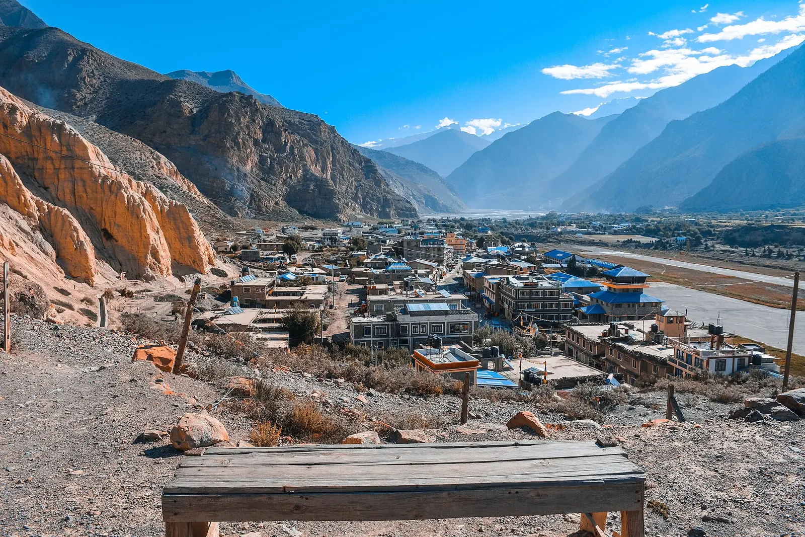
Valley or region
A trans-Himalayan district along the Kali Gandaki, from Thakali villages and apple orchards to the walled towns of the old Kingdom of Lo.