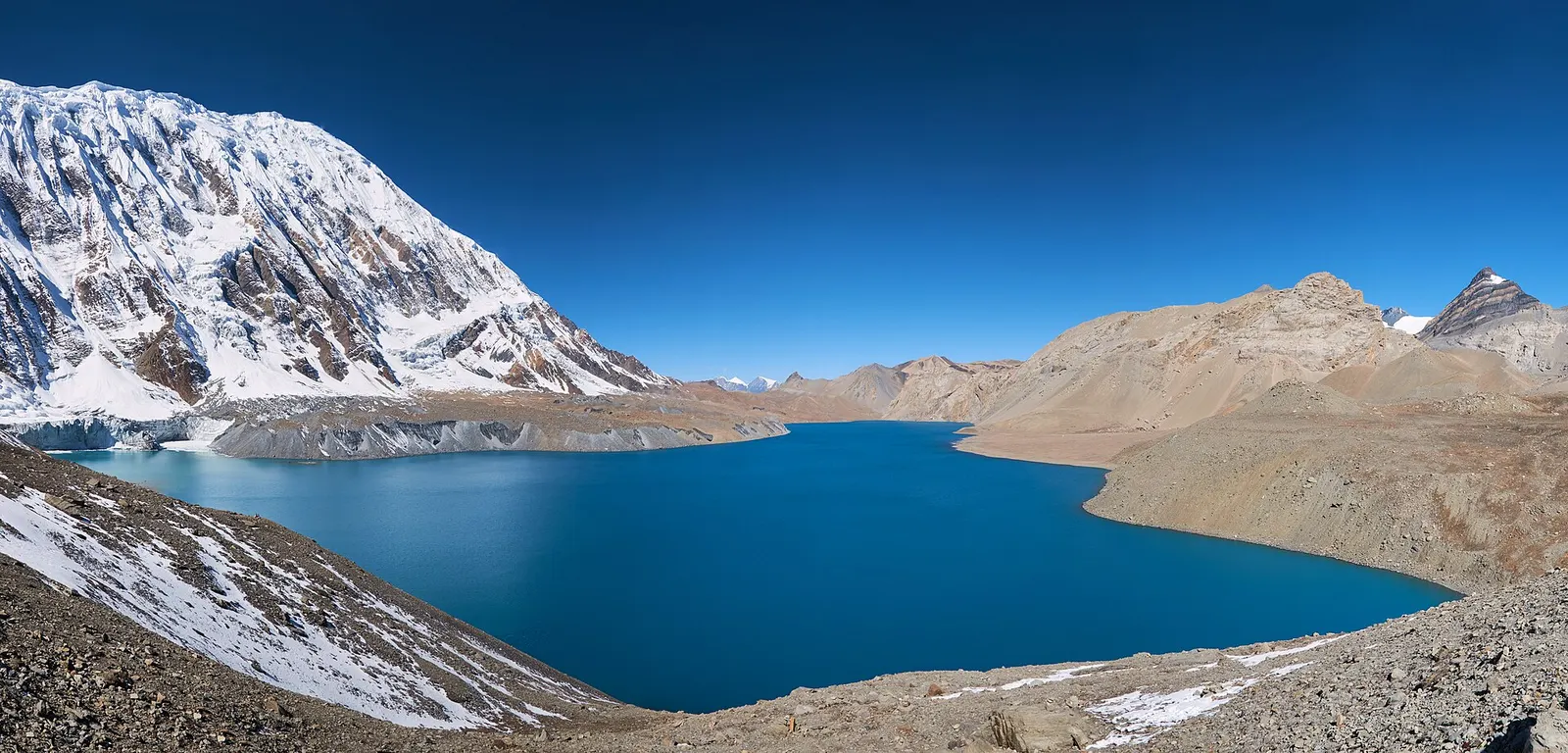
A teahouse journey around the Annapurna massif, from the green Marsyangdi valley through Manang and over the Thorong La (5,416 m) to Muktinath and the dry Kali Gandaki valley.
- Days
- 11 days
- Maximum altitude
- 5,416 m
- Difficulty
- Strenuous
Manangयाक खर्क
A cluster of lodges in high yak pasture above Manang, the usual first stop on the climb towards Thorong La.
This is Yak Kharka above Manang on the Annapurna Circuit, not the Yak Kharka pasture above Marpha on the Dhaulagiri Circuit or other pastures of the same name.
Yak Kharka, meaning yak pasture, is a small settlement of lodges at about 4,000-4,100 m in the open upper valley of the Jharsang Khola, north-west of Manang. Above the tree line, it sits among juniper scrub and grazing land where yaks and blue sheep are often seen, with views back to Gangapurna and the Annapurna range.
On the Annapurna Circuit it is the standard first stop after Manang, chosen because the walk is short, about 3-4 hours, and the height gain of about 500 m suits acclimatisation. Trekkers returning from Tilicho Lake can also reach it directly from Shree Kharka via Old Khangsar, rejoining the main route here. Ledar, a little higher, is an alternative stop.
Yak Kharka grew from a herders' summer pasture into a lodge stop as trekking traffic increased. It belongs to the grazing lands of the upper Manang villages, and herding families still move animals up in summer. There are no old temples here; prayer flags and small cairns mark the trail. In winter most lodges close or run with minimal staff.
Take an acclimatisation walk
Climb a hundred metres or two on the slopes above the lodges in the afternoon, then return to sleep.
Watch for wildlife
Blue sheep and occasionally Himalayan griffons can be seen on the open hillsides.
Forecast for 4,018 m. Conditions change fast in the mountains.
Weather data: MET Norway, licensed CC BY 4.0. A forecast, not a guarantee.
Mar-May, Oct-Nov
A handful of basic lodges; rooms are cold, and dining rooms are heated in the evening.
No partner stays are listed here yet. List a property.
Reached only on foot, from Manang or from Shree Kharka on the Tilicho Lake route.
Nearest hub: Manang
Permit required
Inside the Annapurna Conservation Area, so an ACAP permit is required.
Verify before travel: permit rules and fees change. Checked 2026-10-06 against National Trust for Nature Conservation (ACAP).
On the Annapurna Circuit, Tilicho Lake trek.
A teahouse journey around the Annapurna massif, from the green Marsyangdi valley through Manang and over the Thorong La (5,416 m) to Muktinath and the dry Kali Gandaki valley.
About 4,018-4,110 m depending on the source. Altitude illness is a real risk from here on.
About 3-4 hours. The day is kept short on purpose to help acclimatisation.
Yes, a trail from Shree Kharka via Old Khangsar reaches Yak Kharka in about 4-5 hours without returning to Manang.
Valley or region · 4,150 m
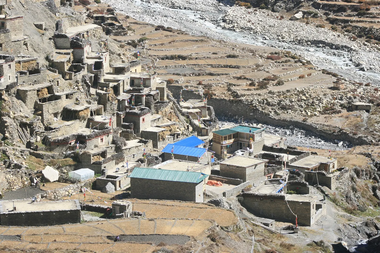
A restricted high valley north of the Annapurna Circuit, with two old Tibetan Buddhist villages, Nar and Phu, reached through a narrow gorge from Koto.
Lake · 4,919 m
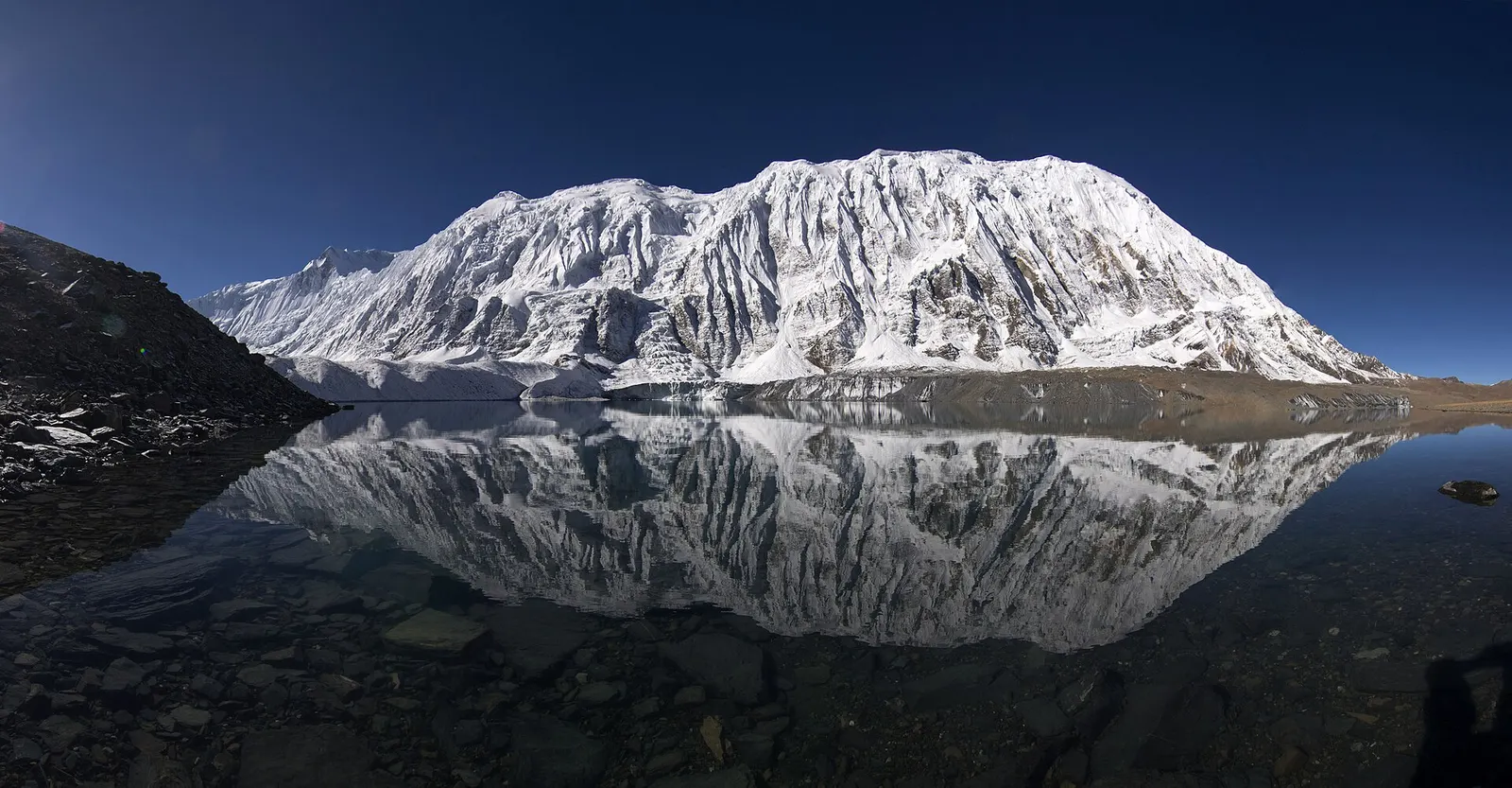
A glacial lake at about 4,920 m beneath the ice walls of Tilicho Peak, reached on a demanding side trip from Manang.
Trek stop · 2,670 m
The district headquarters of Manang, a road-head town in fir and pine forest where most Annapurna Circuit trekkers spend a night.
Trek stop · 1,900 m
A Marsyangdi valley village where the Manaslu Circuit joins the Annapurna Circuit road.
Trek stop · 2,600 m
A small village in pine and fir forest on the Annapurna Circuit, just below Chame, and the start of the trail into the Nar Phu valley.
Trek stop · 3,660 m
A stone village high on the north side of the Manang valley, on the upper Annapurna Circuit route and at the foot of the Kang La from Nar.
Trek stop · 3,300 m
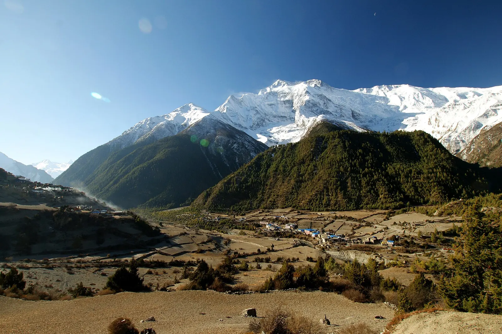
Twin villages in the upper Marsyangdi, where the old stone houses of Upper Pisang look across to Annapurna II.
Trek stop · 4,070 m
A small lodge stop in high pasture west of Manang, on the trail to Tilicho Base Camp and Tilicho Lake.
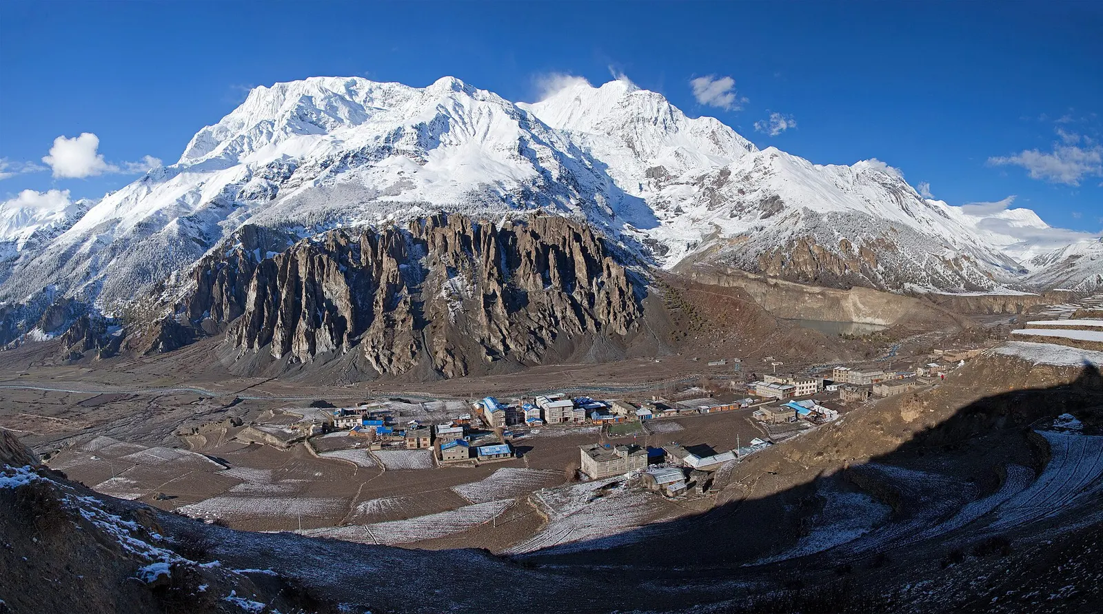
Town or village · 3,519 m
A high stone village in the upper Marsyangdi valley below Annapurna III and Gangapurna, where Circuit trekkers stop to acclimatise.