

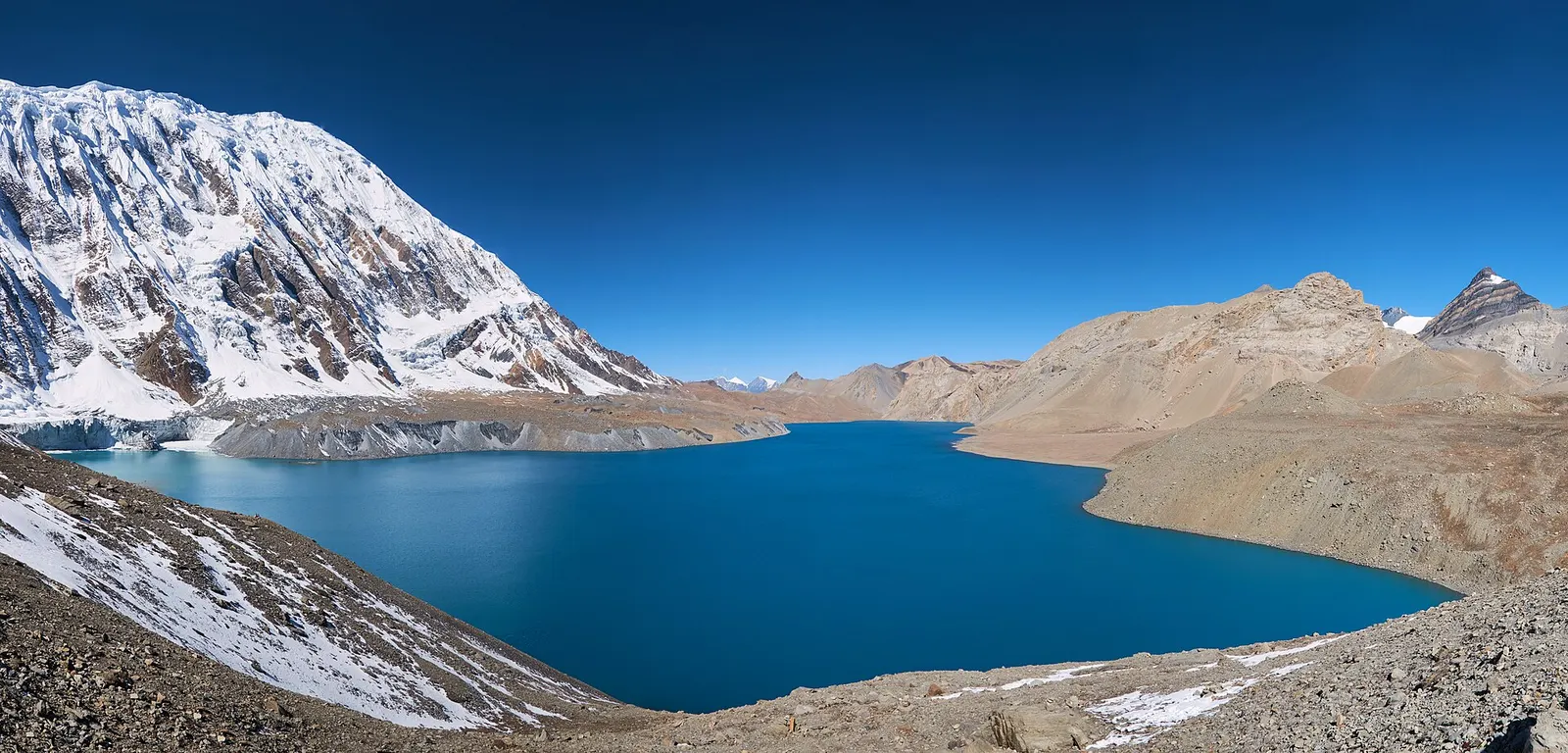
A teahouse journey around the Annapurna massif, from the green Marsyangdi valley through Manang and over the Thorong La (5,416 m) to Muktinath and the dry Kali Gandaki valley.
- Days
- 11 days
- Maximum altitude
- 5,416 m
- Difficulty
- Strenuous
Higher seasonal exposure: landslides (Jun-Sep).
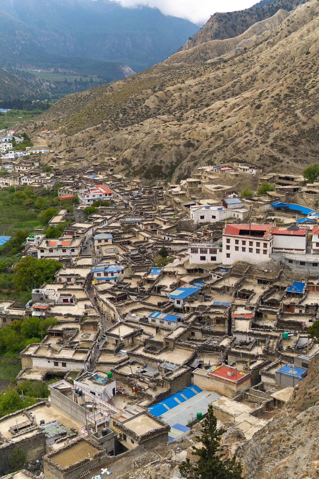
Marpha is a compact Thakali village about 1-2 hours' walk south of Jomsom, tucked against a cliff on the west side of the Kali Gandaki. Its single main street is paved with flagstones over a covered drainage channel and lined with whitewashed, flat-roofed houses built around inner courtyards, with firewood stacked along the rooftops. It is one of the best-kept traditional villages in Lower Mustang.
The village is known across Nepal for apples. Orchards surround it, and apple brandy, cider, dried apples, jams and apple pie are sold in shops and served in lodges. A government horticulture farm just outside the village has long helped develop fruit growing in the valley.
Within the Mustang destination, Marpha is the quieter alternative to Jomsom for an overnight stay. It is a common stop for trekkers walking down the Kali Gandaki at the end of the Annapurna Circuit, and an easy day trip from Jomsom for anyone flying in. Views up to Nilgiri and across to the Dhaulagiri massif open up from the monastery and the hill above it.
The story
A small monastery above the village looks over the orchards. People in Marpha credit the village's prosperity to cooperation between its Thakali clans, whose kitchen shrines and hearth rituals are kept as carefully as their recipes.
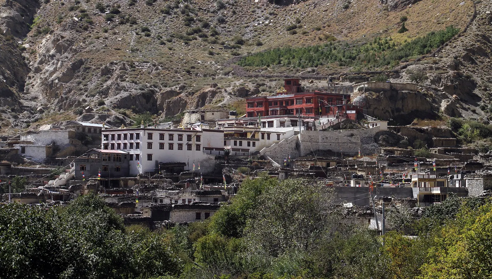
Marpha's people are Thakali, here known as Marphali or Puntan, whose culture combines Tibetan Buddhism with older Bon and local customs and some Hindu practice. The village was a prosperous stop on the trade route between Tibet and the lowlands. Above the houses stands a Nyingma monastery, and on the cliff face behind it is a painted chorten. A local legend holds that the villagers were once struck by leprosy and that a monk from Tukuche advised them to build the chorten and hold rituals there, after which the village recovered.
Across the river, on the southern outskirts, are a Tibetan refugee settlement and Chhairo Gompa, described as the first Nyingma monastery established in Mustang. Many of the craft and souvenir stalls in Marpha are run by residents of the refugee settlement.
Apple brandy and cider tastingBookable locally
Village distilleries and orchard shops sell local brandy and cider, and most guesthouses serve it too.
indicative, about NPR 200-500
Orchard and village walkFree
Wander the lanes up to the monastery for views over the orchards.
Climb to the monastery
Take the steps up to the gompa for views over the rooftops and the Kali Gandaki valley.
Taste local apple products
Try dried apples, juice, cider or apple brandy sold in the village; drink alcohol sparingly at altitude.
Walk to Chhairo
Cross the river to the Tibetan settlement and Chhairo Gompa, about an hour's round trip.
Walk from Jomsom
Follow the river trail or road south from Jomsom, about 1-2 hours, ideally in the morning before the wind.
Forecast for 2,670 m. Conditions change fast in the mountains.
Weather data: MET Norway, licensed CC BY 4.0. A forecast, not a guarantee.
Mar-Apr, Sep-Nov
Guesthouses in the village, most of them family-run.
Family-run lodges line the main street, many in traditional courtyard houses.
No partner stays are listed here yet. List a property.
Apple pie, dried apples, apple brandy and cider, and thakali dal bhat in its home valley.
Marpha is a short walk or drive south of Jomsom on the Kali Gandaki road.
Nearest hub: Jomsom airport
Nearest hub: Jomsom. Times are typical ranges, not schedules, and vary with roadworks, weather and the season.
By airfrom Pokharaabout 0.3-0.6 hJomsomoften delayed or cancelled by weather
Fly Pokhara to Jomsom in about 20 minutes, then continue 6-7 km down-valley to Marpha. The strip is windy and below visual-approach minimums roughly 15 per cent of the year, so delays are common.
When to set off: Flights are scheduled in the early morning, when wind speeds in the gorge are lowest; keep a spare day in the plan.
By busfrom Pokharaabout 8-12 hLocal buses
Local buses and shared jeeps work the Pokhara-Beni-Jomsom road, usually with a change of vehicle at Beni. Services are slower and less certain in the monsoon, when the gorge road is prone to blockages.
When to set off: Buses up the valley start early in the morning; an overnight stop at Beni or Tatopani is common.
By car or jeepfrom Pokharaabout 6-9 h
Sealed as far as Beni, then a narrow mountain road up the Kali Gandaki gorge through Tatopani and Ghasa. The gorge section is prone to landslide and flood blockages in the monsoon and is generally straightforward from about October to May.
Road: Sealed highway to Beni, then a rough and narrow gorge road; a jeep or other high-clearance vehicle is normal above Beni.
When to set off: Leave Pokhara by about 06:00-07:00 to reach Marpha in one day.
By motorbikefrom Pokharaabout 7-11 hExperienced riders only
A well-known ride, but the gorge section above Beni is loose, dusty and exposed, with stream crossings, and the Kali Gandaki valley is known for gusty winds that build after midday.
Road: Rough, dusty and exposed above Beni, with stream crossings and strong afternoon headwinds up the valley.
When to set off: Ride the gorge in the morning; the up-valley wind strengthens through the afternoon.
On footfrom Jomsomabout 1-2 hAbout 6-7 km and 1-2 hours on the Kali Gandaki road or river-bank trail, almost flat.
An easy down-valley stage from Jomsom that most Annapurna Circuit walkers do on foot.
Permit required
Marpha is inside the Annapurna Conservation Area, so foreign visitors need an ACAP entry permit.
Verify before travel: permit rules and fees change. Checked 2026-10-06 against Department of Immigration: Trekking route and permit fee.
On the Annapurna Circuit, Jomsom Muktinath Trek.
What this place is typically exposed to, and when. These are seasonal patterns, not a report on conditions now.
Landslideshigh in a typical yearJun-Sep
The approach road south through Ghasa and Tatopani is prone to monsoon landslides and flooding; Marpha itself sits in the rain shadow and gets little rain.
Othermoderate in a typical yearMar-Oct
Gusty up-valley winds are a feature of the Kali Gandaki at Marpha, building from late morning through the afternoon.
Coldmoderate in a typical yearDec-Feb
December to February is cold and windy at about 2,670 m, though generally dry; some lodges close for the season.
Check current conditions before you travel
Roads, trails, passes and flights change with the weather and with roadworks, and nothing on this page describes conditions today. Before you set off, check the Department of Hydrology and Meteorology for weather and flood warnings, the Nepal Disaster Risk Reduction Portal for incidents, and the local authority, police or your licensed operator for road, trail and flight status.
Safety
Strong afternoon winds blow up the Kali Gandaki valley; walk in the morning where possible.A teahouse journey around the Annapurna massif, from the green Marsyangdi valley through Manang and over the Thorong La (5,416 m) to Muktinath and the dry Kali Gandaki valley.
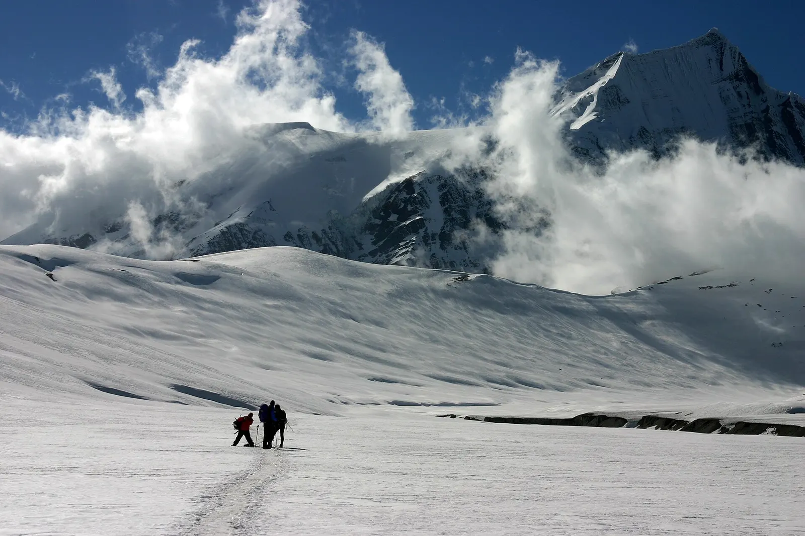
A remote camping trek from the Myagdi valley to Dhaulagiri Base Camp, over French Pass (about 5,360 m) into Hidden Valley and over Dhampus Pass to Marpha in Mustang.
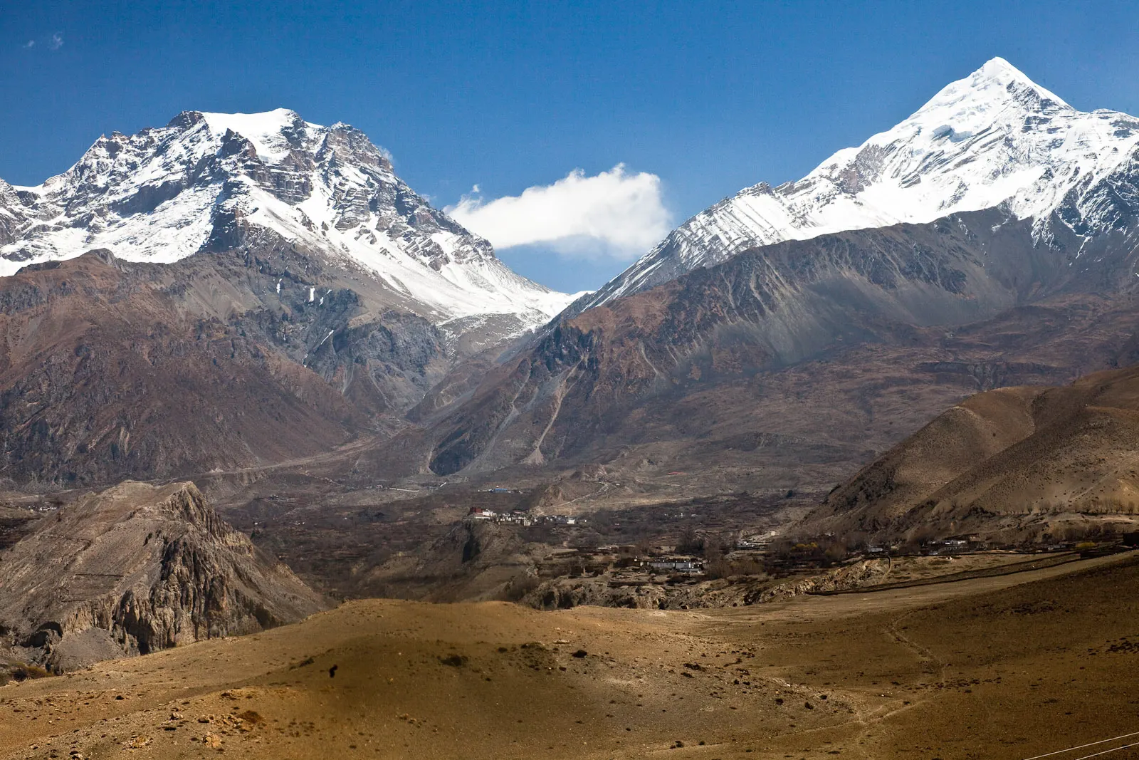
A short trek in Lower Mustang from Jomsom via Kagbeni to the Muktinath temple (about 3,760 m) and back through Marpha, with flights from and to Pokhara.
About 6-7 km, a 1-2 hour walk or a short drive south along the Kali Gandaki.
Its flagstone lanes and whitewashed Thakali houses, and its apples, sold fresh and as dried fruit, juice and brandy.
Yes, an Annapurna Conservation Area permit. No restricted area permit is needed.
Apples are usually harvested from about late August to October, and blossom in March and April.
Harvest is usually in late summer and autumn. Dried apples and brandy are available all year.
Yes, on the descent from Muktinath and Jomsom down the Kali Gandaki valley.
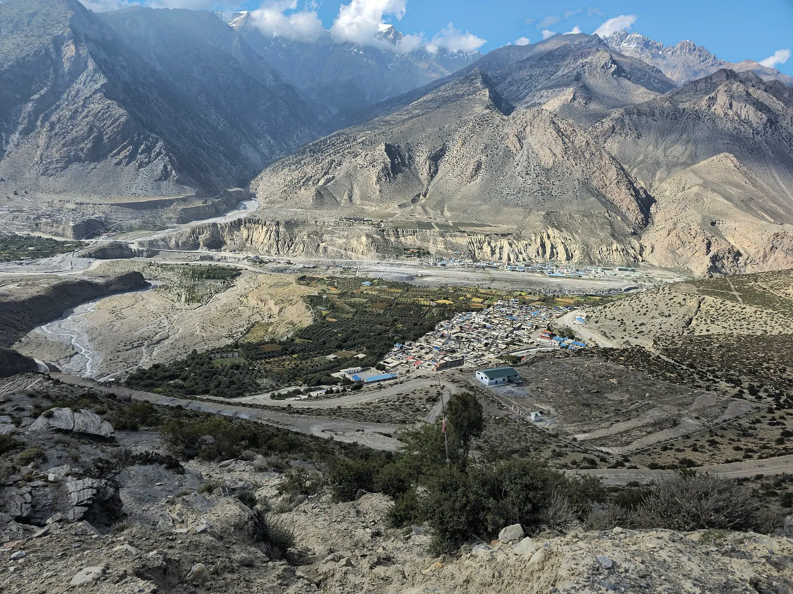
Town or village · 2,743 m
Mustang's headquarters and airstrip town on the Kali Gandaki, under the walls of Nilgiri and Dhaulagiri.
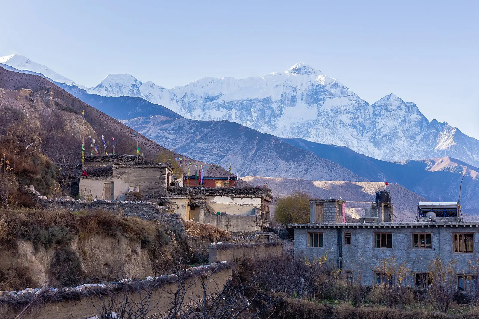
Town or village · 2,804 m
A medieval mud-brick village at the confluence of two rivers, the gateway between Lower and Upper Mustang.
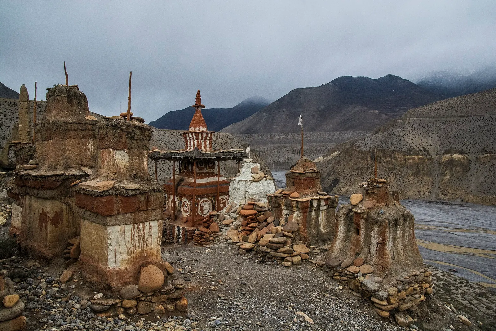
Valley or region
The old Kingdom of Lo: a dry, wind-carved valley of cave cliffs, red monasteries and walled villages north of Kagbeni.
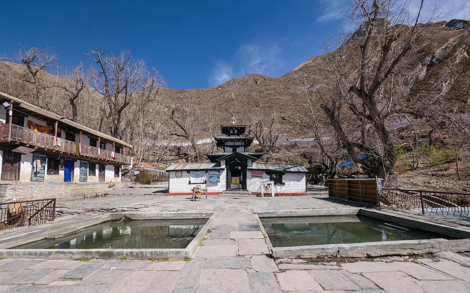
Temple, monastery or heritage site · 3,762 m
A high temple complex below the Thorong La, sacred to Hindus as Mukti Kshetra and to Buddhists as Chumig Gyatsa.
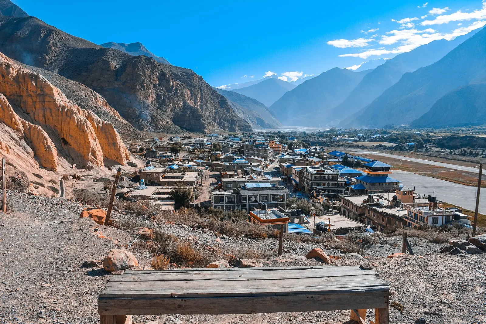
Valley or region
A trans-Himalayan district along the Kali Gandaki, from Thakali villages and apple orchards to the walled towns of the old Kingdom of Lo.