

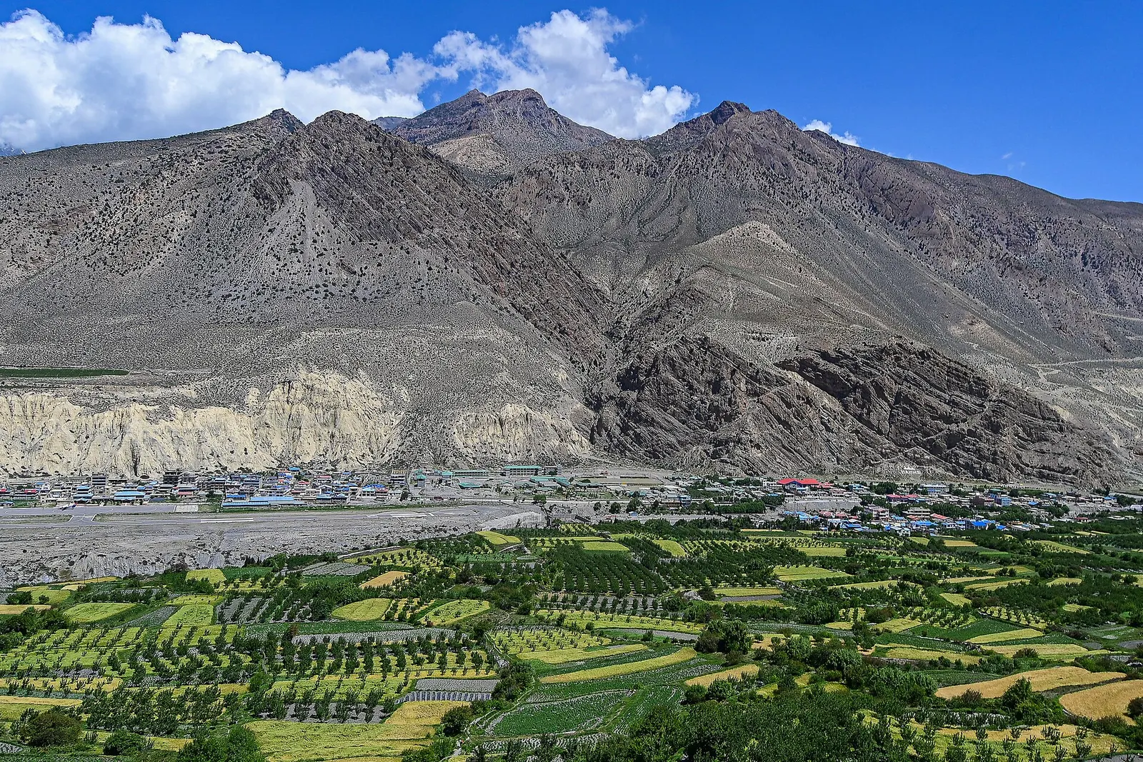
Town or village · 3,840 m
Lo Manthang
The walled former capital of the Kingdom of Lo, with a royal palace and monasteries from the 15th century.
Mustangउपल्लो मुस्ताङ
The old Kingdom of Lo: a dry, wind-carved valley of cave cliffs, red monasteries and walled villages north of Kagbeni.
This is Upper Mustang, the restricted northern part of Mustang district (the old Kingdom of Lo) north of Kagbeni, not the whole district or the Lower Mustang towns of Jomsom and Marpha.
Higher seasonal exposure: road blockages (Jun-Sep), other (Jun-Sep), altitude (All year), cold (Dec-Feb).
Upper Mustang is the northern part of Mustang district, the high trans-Himalayan country that runs from just north of Kagbeni up to the border with Tibet. It was closed to foreign visitors until 1992 and is still a restricted area, so every visit is made on a special permit. Within the Mustang destination it is the remote, Tibetan-speaking half, set apart from the Thakali towns of Lower Mustang such as Jomsom and Marpha.
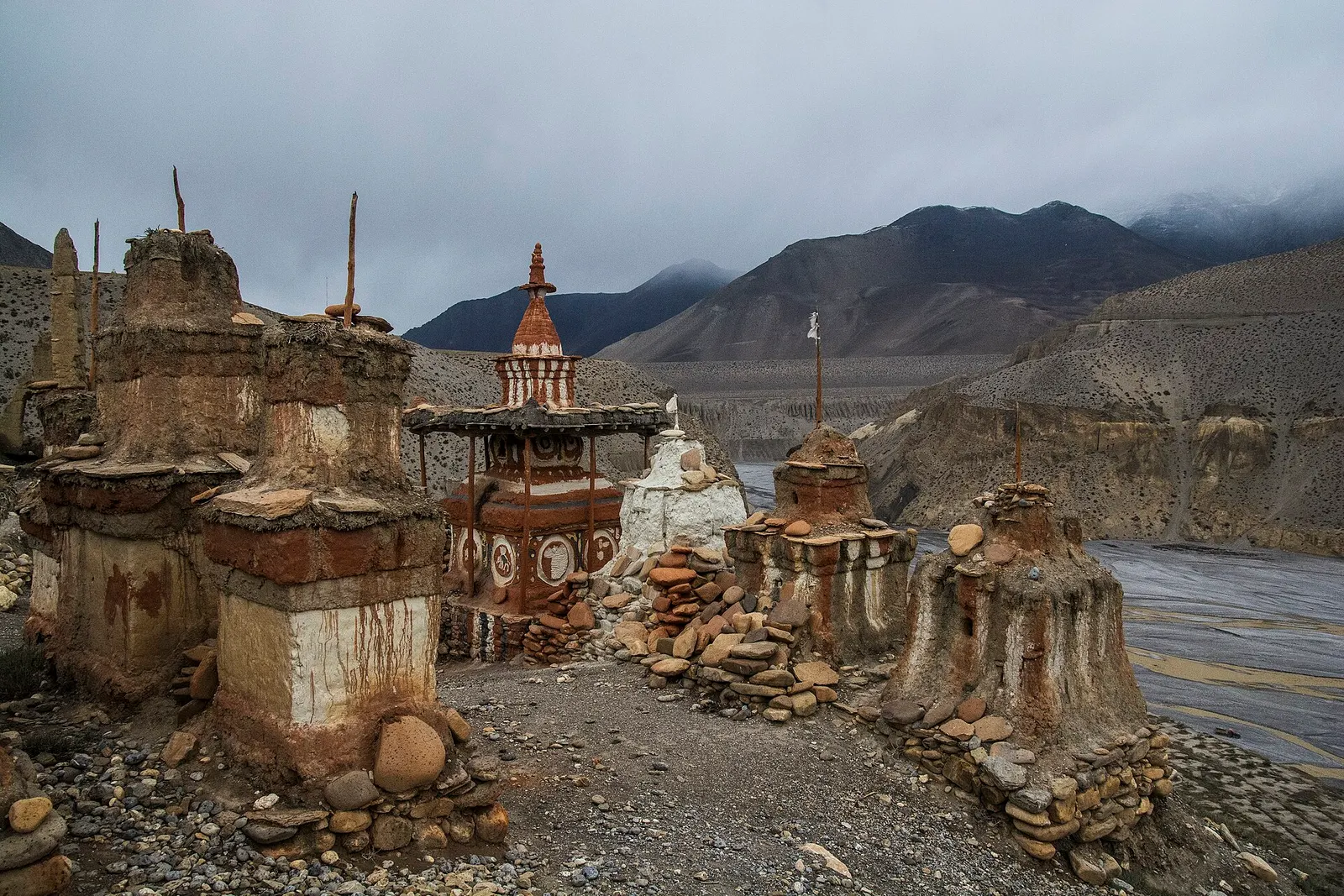
The landscape is high desert in the rain shadow of the Annapurna and Dhaulagiri ranges. Annual rainfall is only a few hundred millimetres, so the scenery is bare: eroded ochre, grey and red cliffs, wind-cut pinnacles and gravel plains, broken by small green oases of barley, buckwheat and poplar where streams come down to the Kali Gandaki. Man-made caves pock the cliffs, some of them old dwellings and meditation sites.
The usual journey goes up the Kali Gandaki through Chhusang, over a series of passes to Charang, and on to the walled town of Lo Manthang, the former royal capital. Most people take 10 to 14 days from Jomsom on foot, by jeep on the dirt road that now reaches Lo Manthang, or a mix of both. The child pages cover Lo Manthang, Charang and Chhusang in detail.
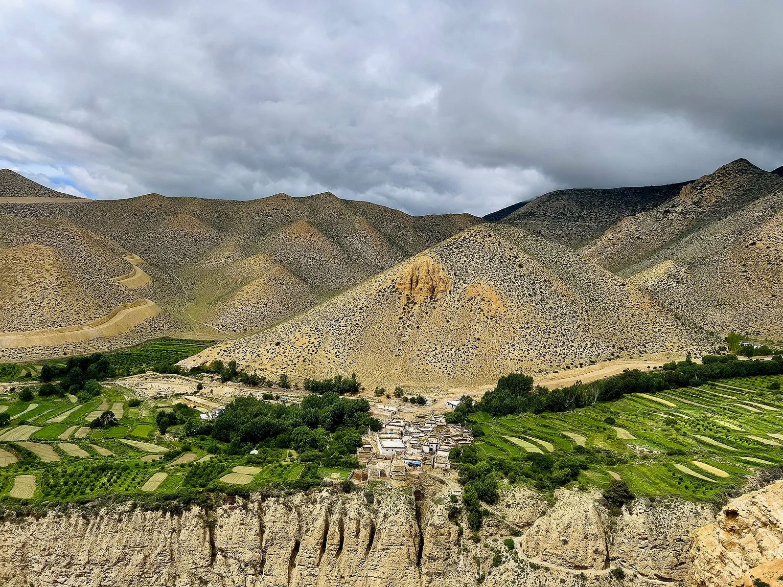
Town or village · 3,840 m
The walled former capital of the Kingdom of Lo, with a royal palace and monasteries from the 15th century.
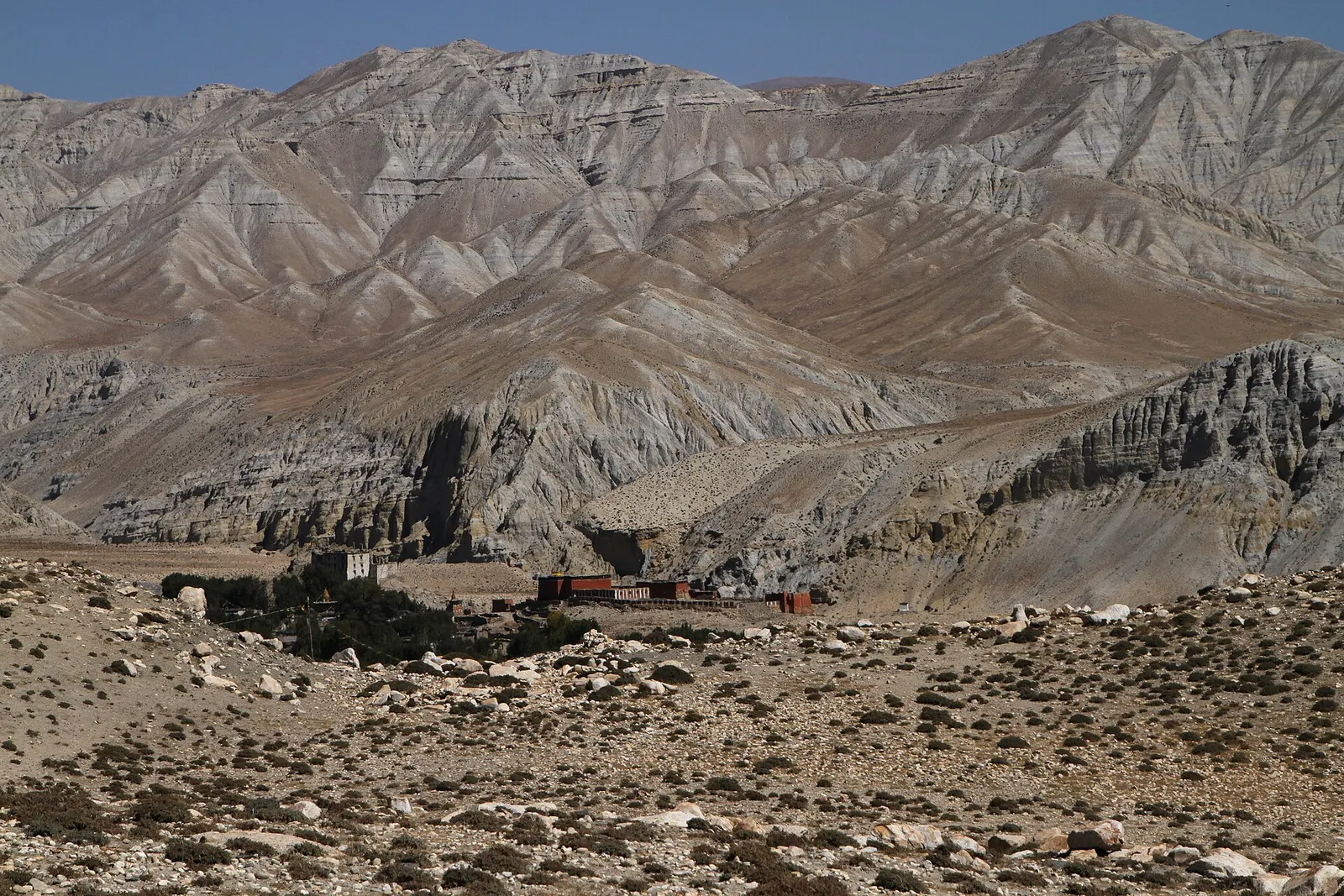
Trek stop · 3,560 m
A large Upper Mustang village on the edge of a canyon, with an old fort-palace and a red Sakya monastery.
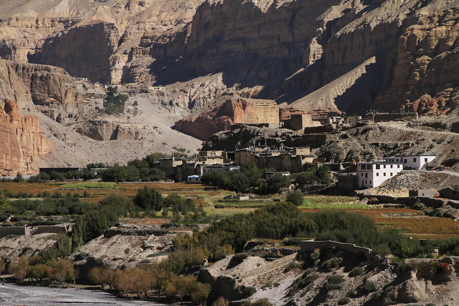
Trek stop · 2,980 m
A farming village of three hamlets beneath red cave-riddled cliffs, usually the first night inside Upper Mustang.
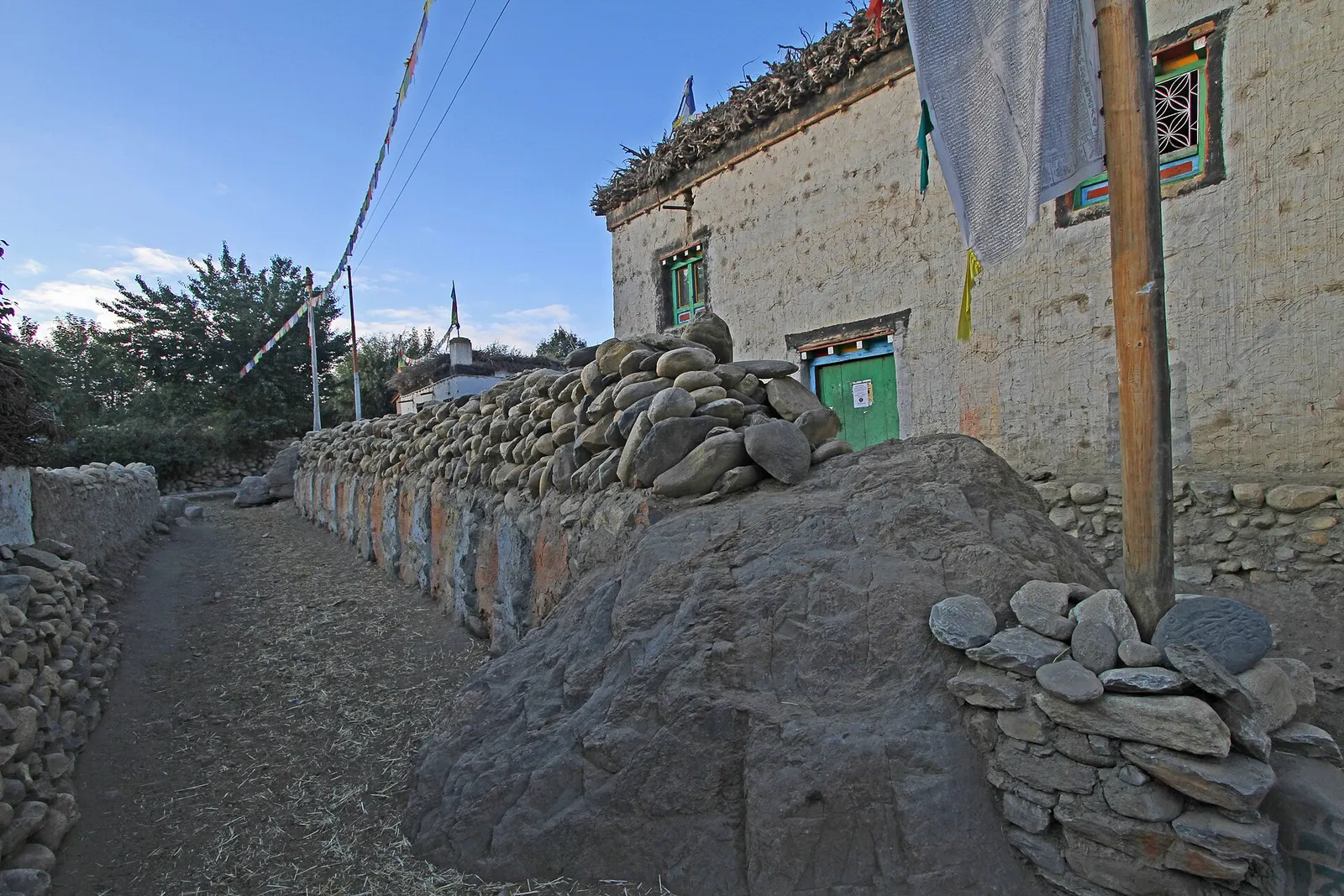
Trek stop · 3,520 m
A large whitewashed village in Upper Mustang, below eroded cliffs and next to a long mani wall of carved prayer stones.
Trek stop · 3,660 m
A small village in poplar groves above the Kali Gandaki, on the climb from Chele towards Ghami in Upper Mustang.
Lo was an independent Buddhist kingdom founded, by tradition, by Ame Pal in 1380. Its position on the salt and wool trade route between Tibet and the lowlands made it prosperous between the 15th and 17th centuries. It became a dependency of the Kingdom of Nepal in the late 18th century but kept its own hereditary rulers, and the title of raja was abolished only in 2008 when Nepal became a republic.
Most people of Upper Mustang are Lhopa (Loba), who speak a Tibetan language and follow Tibetan Buddhism, largely of the Sakya school. Life follows a farming and herding calendar, with many families moving south for the winter. The best known festival is Tiji in Lo Manthang, usually in May, with three days of masked monastic dances. In 2007 cave paintings of Buddhist subjects, thought to date from around the 13th century, were found in cliffs near Lo Manthang.
Trek or drive to Lo Manthang
Follow the Kali Gandaki north from Kagbeni through Chhusang, Syangboche, Ghami and Charang to the walled capital, on foot or partly by jeep.
Visit the old monasteries
Thubchen and Jampa gompas in Lo Manthang, Ghar Gompa near Ghami and the hilltop gompa at Charang hold murals and statues centuries old.
See the cave complexes
Cave dwellings and meditation caves cut into the cliffs can be seen near Chhusang, at Chhoser north of Lo Manthang and along the way.
Time a trip for Tiji
The three-day monastic dance festival in Lo Manthang draws visitors each spring; dates follow the Tibetan calendar.
Forecast for 3,840 m. Conditions change fast in the mountains.
Weather data: MET Norway, licensed CC BY 4.0. A forecast, not a guarantee.
Apr-Jun, Sep-Oct
Simple family-run lodges and teahouses operate in the main villages; rooms are basic and cold, and some close in winter.
No partner stays are listed here yet. List a property.
Reach Jomsom from Pokhara by a short mountain flight or by jeep and bus, then continue north past Kagbeni into the restricted area on foot or by jeep.
Nearest hub: Jomsom airport
Nearest hub: Jomsom. Times are typical ranges, not schedules, and vary with roadworks, weather and the season.
By airfrom Pokharaabout 0.3-0.6 hJomsomoften delayed or cancelled by weather
Fly Pokhara to Jomsom in about 20 minutes and start north from there. The strip is windy and below visual-approach minimums roughly 15 per cent of the year, so build in spare days before a permit date.
When to set off: Flights are scheduled in the early morning, when wind speeds in the gorge are lowest; keep a spare day in the plan.
By car or jeepfrom Jomsomabout 7-10 h
An unsealed jeep track runs north from Jomsom through the Kali Gandaki and over the ridges towards Lo Manthang; high-clearance vehicles are needed and river crossings and dust govern the pace. Because Upper Mustang lies in the rain shadow, the track itself stays usable through the monsoon, while the road up from Beni does not.
Road: Unsealed jeep track with river crossings; a 4WD or jeep is normally needed.
When to set off: Jeeps leave Jomsom in the morning for the run north.
By motorbikefrom Jomsomabout 7-11 hExperienced riders only
The Upper Mustang track is unsealed, sandy and stony with river crossings, and a restricted-area permit is needed; experienced riders only.
Road: Unsealed, sandy and stony jeep track with river crossings and strong afternoon winds.
When to set off: Start early; afternoon wind and dust make the valley hard going.
On footfrom KagbeniUsually 4-5 days from Kagbeni to Lo Manthang, crossing several passes between about 3,800 m and 4,200 m, with alternative trails away from the road on both banks.
The restricted area begins north of Kagbeni, where permits are checked; walkers usually take four to five days each way.
Restricted-area permit
Upper Mustang is a restricted area. Foreign visitors need a restricted area permit from the Department of Immigration, issued through a registered trekking agency, plus an Annapurna Conservation Area entry permit.
Verify before travel: permit rules and fees change. Checked 2026-10-06 against Department of Immigration: Trekking route and permit fee.
On the Upper Mustang Trek.
What this place is typically exposed to, and when. These are seasonal patterns, not a report on conditions now.
Road blockageshigh in a typical yearJun-Sep
The approach road below Jomsom is the weak link: the Beni-Tatopani-Ghasa gorge section is prone to landslide and flood blockages in the monsoon, while it is generally straightforward from about October to May.
Otherhigh in a typical yearJun-Sep
Monsoon cloud over Pokhara and the gorge frequently delays or cancels the Jomsom flight; the airstrip is below the minimum for visual approaches roughly 15 per cent of the year, so spare days matter.
Altitudehigh in a typical yearAll year
Settlements lie between about 2,750 m and 3,900 m and the route crosses passes of 3,800-4,200 m, with the Kora La on the border at 4,660 m. Altitude sickness becomes common above roughly 2,500 m. General information, not medical advice: gain height slowly (a common guideline is no more than about 300 m a day in sleeping altitude once high), learn the symptoms, descend if they get worse, see a doctor before travelling, and carry insurance that covers helicopter evacuation.
Coldhigh in a typical yearDec-Feb
Winter temperatures in Upper Mustang fall to around -25 C or lower and many residents move to lower ground for the season, so Upper Mustang is cold and thinly served from December to February.
Snowmoderate in a typical yearNov-Apr
Snow can lie on the ridge passes of the Upper Mustang route between about 3,800 m and 4,200 m from late autumn into spring, slowing jeeps and walkers.
Othermoderate in a typical yearMar-Oct
The Kali Gandaki valley is known for gusty up-valley winds that build from late morning; walking and riding are much easier before midday.
Landslideslow in a typical yearJun-Sep
Upper Mustang lies in the rain shadow of Annapurna and Dhaulagiri and gets only about 250-400 mm of precipitation a year, so local landslide exposure in the monsoon is low.
Check current conditions before you travel
Roads, trails, passes and flights change with the weather and with roadworks, and nothing on this page describes conditions today. Before you set off, check the Department of Hydrology and Meteorology for weather and flood warnings, the Nepal Disaster Risk Reduction Portal for incidents, and the local authority, police or your licensed operator for road, trail and flight status.
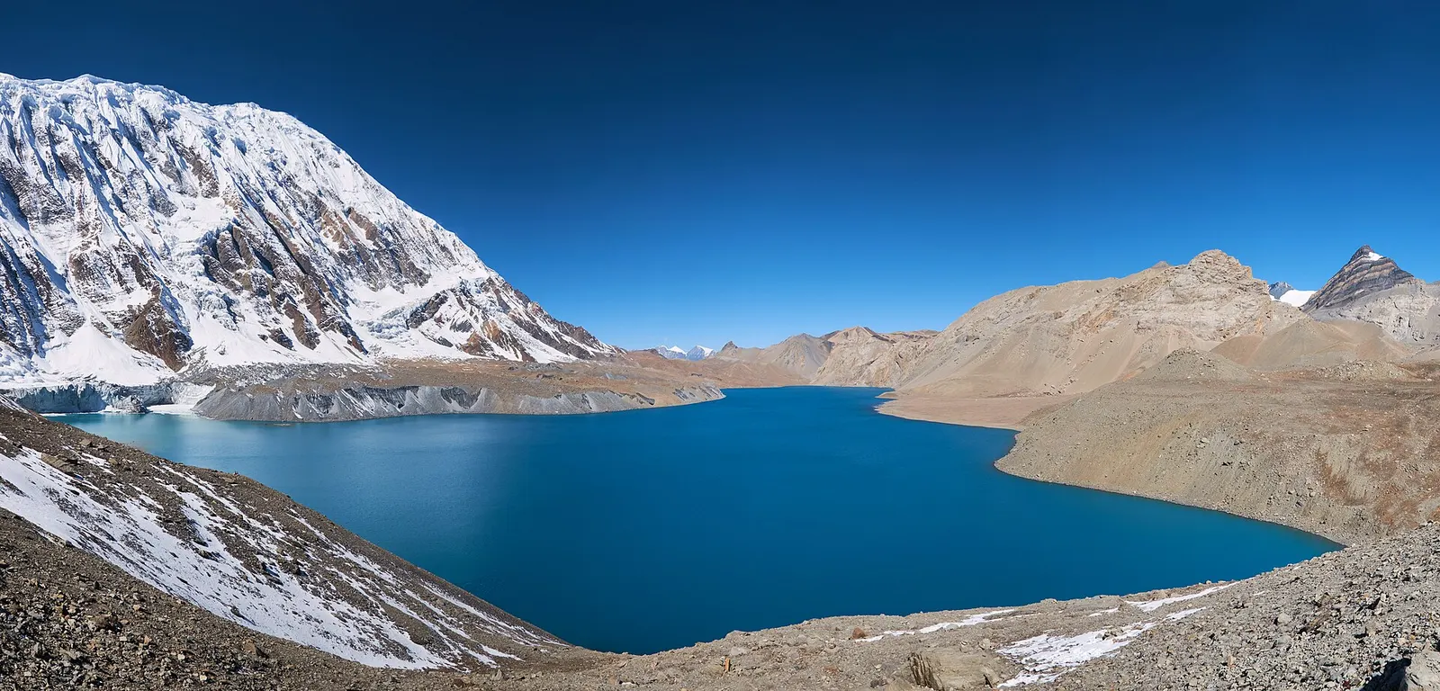
A teahouse journey around the Annapurna massif, from the green Marsyangdi valley through Manang and over the Thorong La (5,416 m) to Muktinath and the dry Kali Gandaki valley.
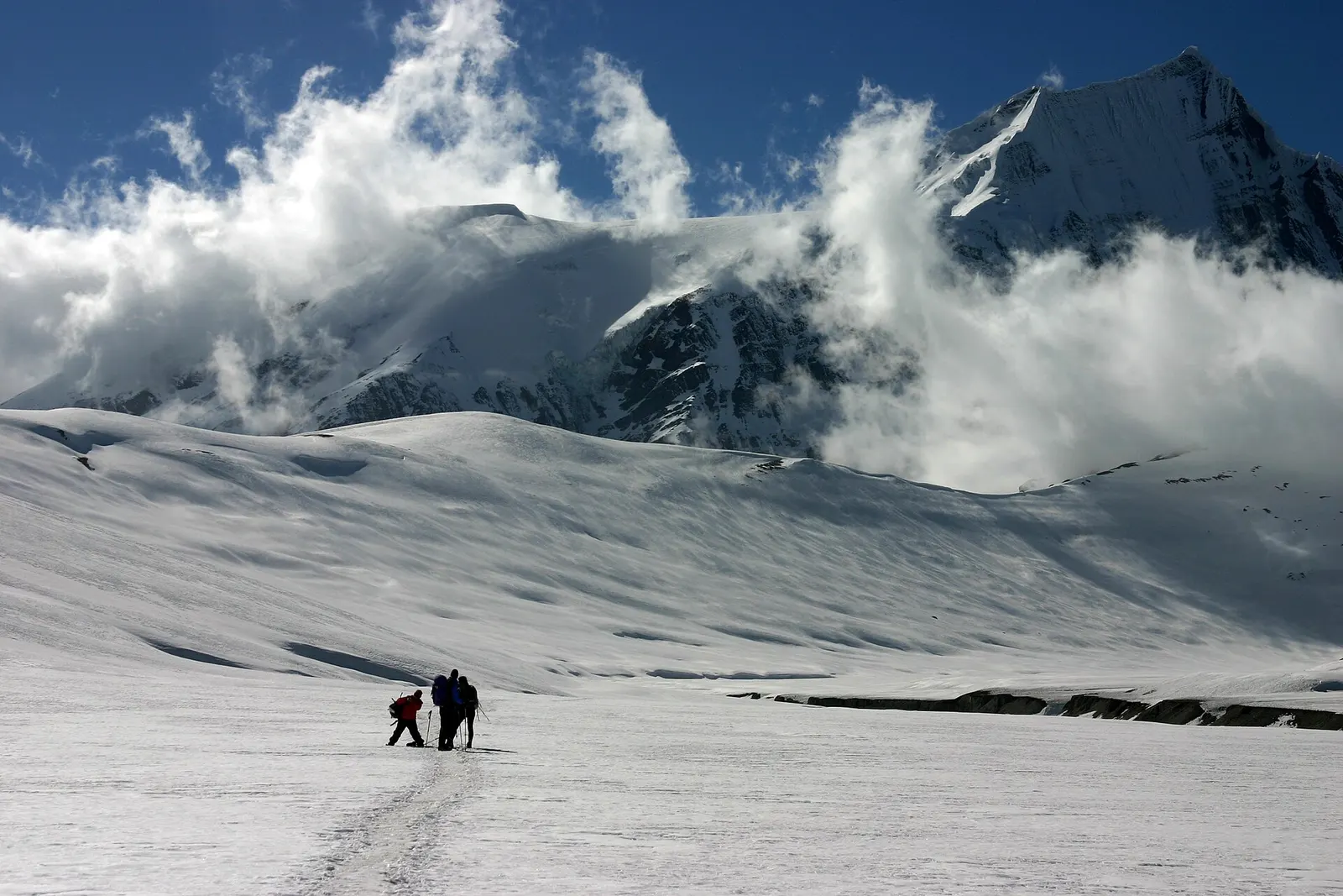
A remote camping trek from the Myagdi valley to Dhaulagiri Base Camp, over French Pass (about 5,360 m) into Hidden Valley and over Dhampus Pass to Marpha in Mustang.
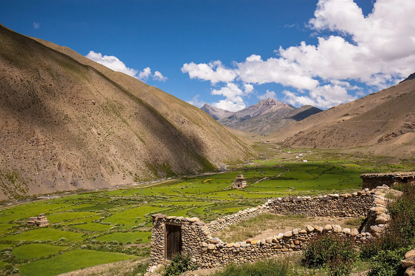
A remote camping traverse from Juphal up the Tarap valley to Dho Tarap, east over high passes to Chharka Bhot, and over the Sangda La into Mustang to finish at Jomsom.
Yes. Upper Mustang is a restricted area, so foreigners need a restricted area permit arranged through a registered trekking agency plus an Annapurna Conservation Area permit. Check the current fee and rules with the Department of Immigration before you go.
Fly or drive from Pokhara to Jomsom, then continue north past Kagbeni on foot or by jeep. Lo Manthang is roughly 4-5 days' walk or a long day's jeep ride from Jomsom.
April to June and September to October are the most popular. Because it lies in the rain shadow, it also stays fairly dry in the monsoon, but winter is very cold.
It can be. Villages sit between about 2,800 m and 3,900 m and the trails cross passes above 4,000 m, so a gradual ascent and rest days are sensible.
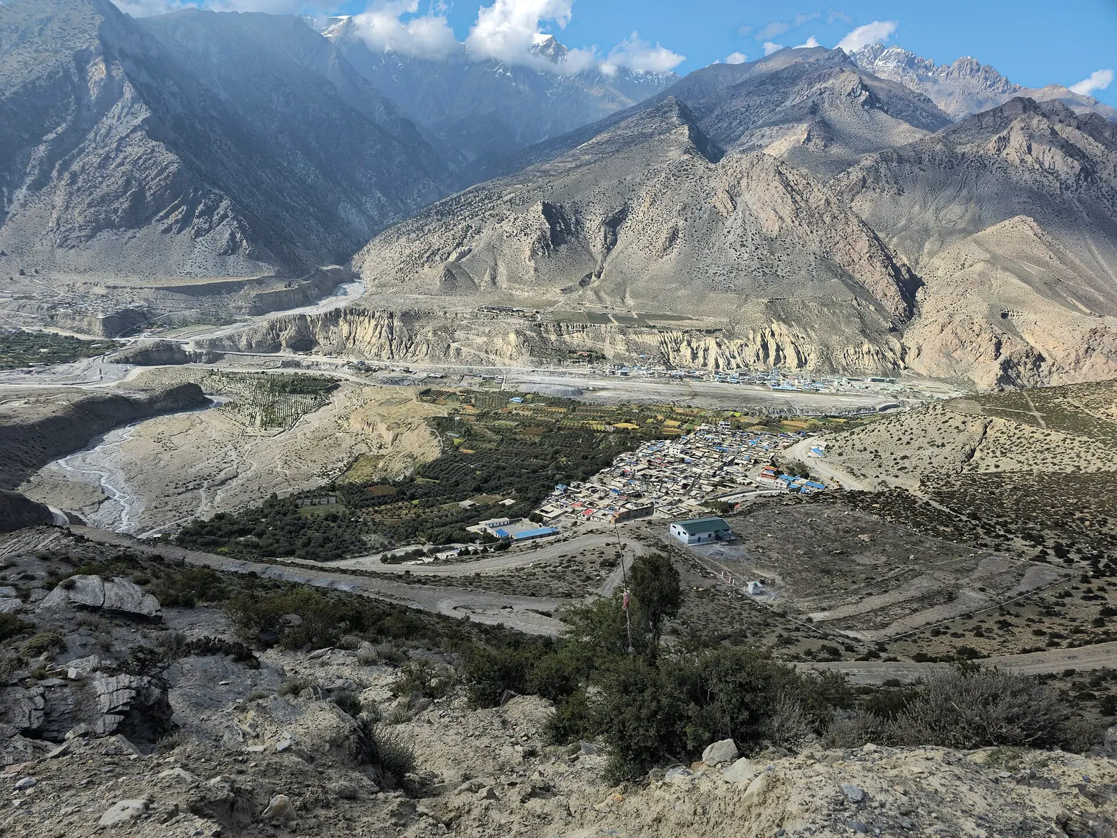
Town or village · 2,743 m
Mustang's headquarters and airstrip town on the Kali Gandaki, under the walls of Nilgiri and Dhaulagiri.
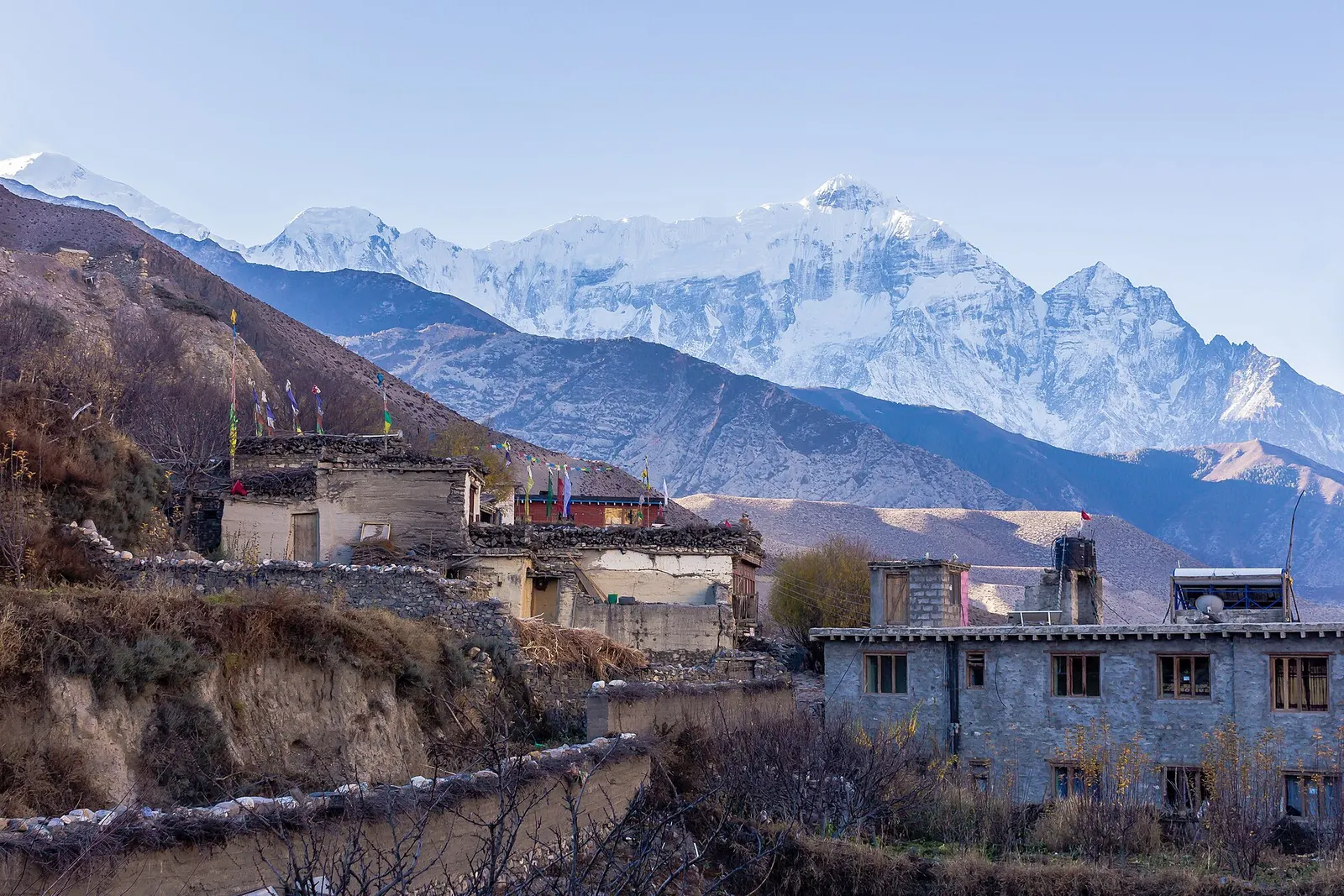
Town or village · 2,804 m
A medieval mud-brick village at the confluence of two rivers, the gateway between Lower and Upper Mustang.
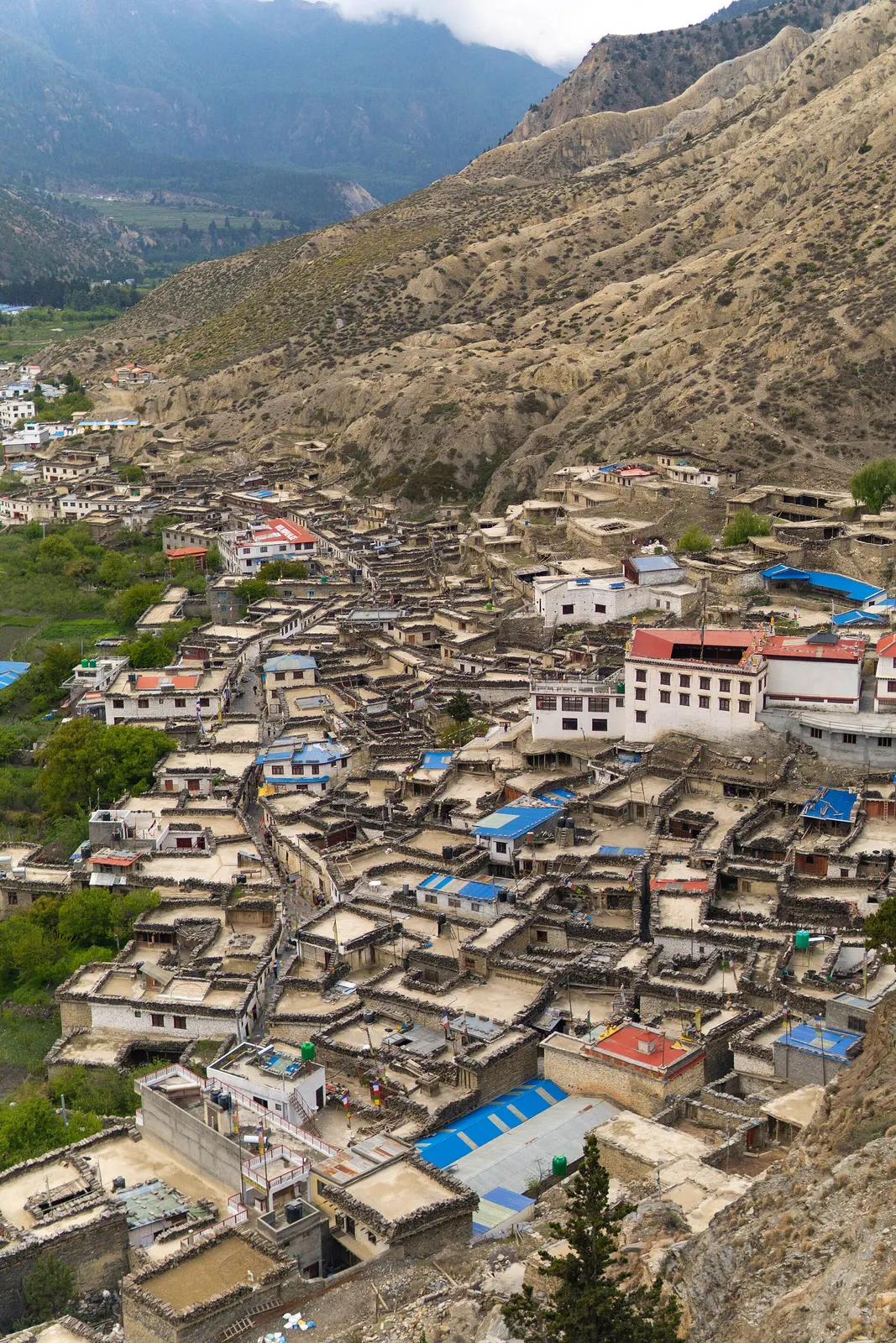
Town or village · 2,670 m
A Thakali village of whitewashed stone houses, flagstone lanes and apple orchards in the Kali Gandaki valley.
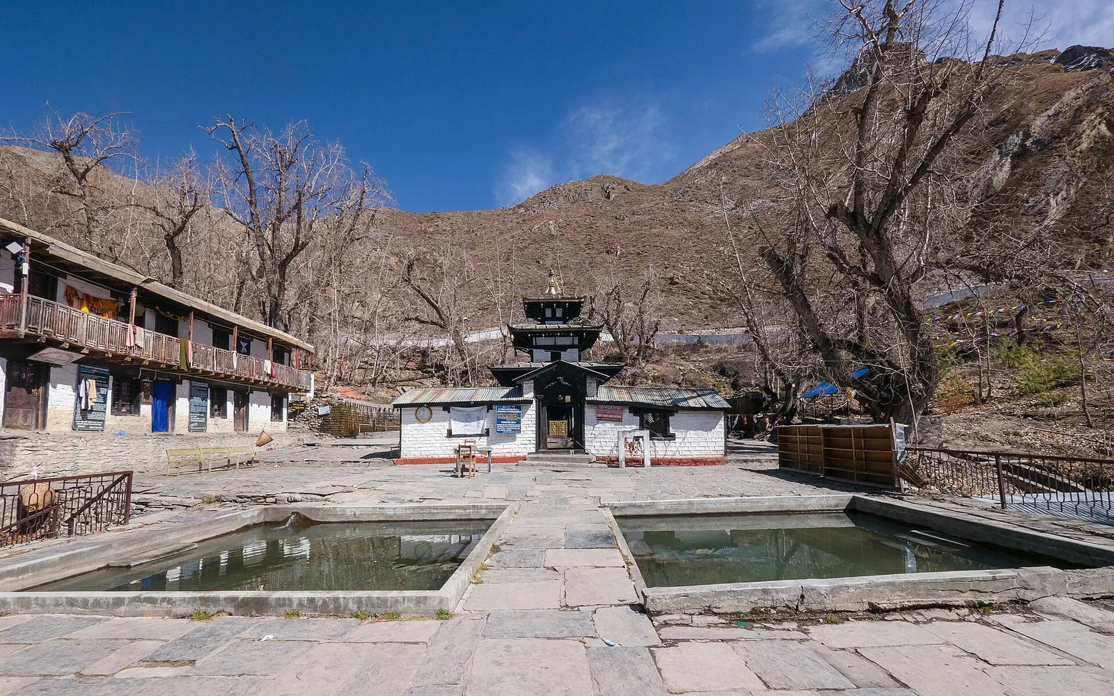
Temple, monastery or heritage site · 3,762 m
A high temple complex below the Thorong La, sacred to Hindus as Mukti Kshetra and to Buddhists as Chumig Gyatsa.
Town or village · 3,840 m
The walled former capital of the Kingdom of Lo, with a royal palace and monasteries from the 15th century.
Trek stop · 3,560 m
A large Upper Mustang village on the edge of a canyon, with an old fort-palace and a red Sakya monastery.
Trek stop · 2,980 m
A farming village of three hamlets beneath red cave-riddled cliffs, usually the first night inside Upper Mustang.