
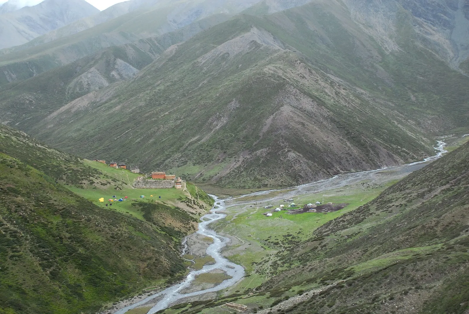
A long restricted-area camping trek from Juphal past Phoksundo Lake, over the Kang La to Shey Gompa and Saldang, and back via the Jeng La and the Tarap valley.
- Days
- 20 days
- Maximum altitude
- 5,350 m
- Difficulty
- Challenging
Far West, Dolpo
A remote camping traverse from Juphal up the Tarap valley to Dho Tarap, east over high passes to Chharka Bhot, and over the Sangda La into Mustang to finish at Jomsom.
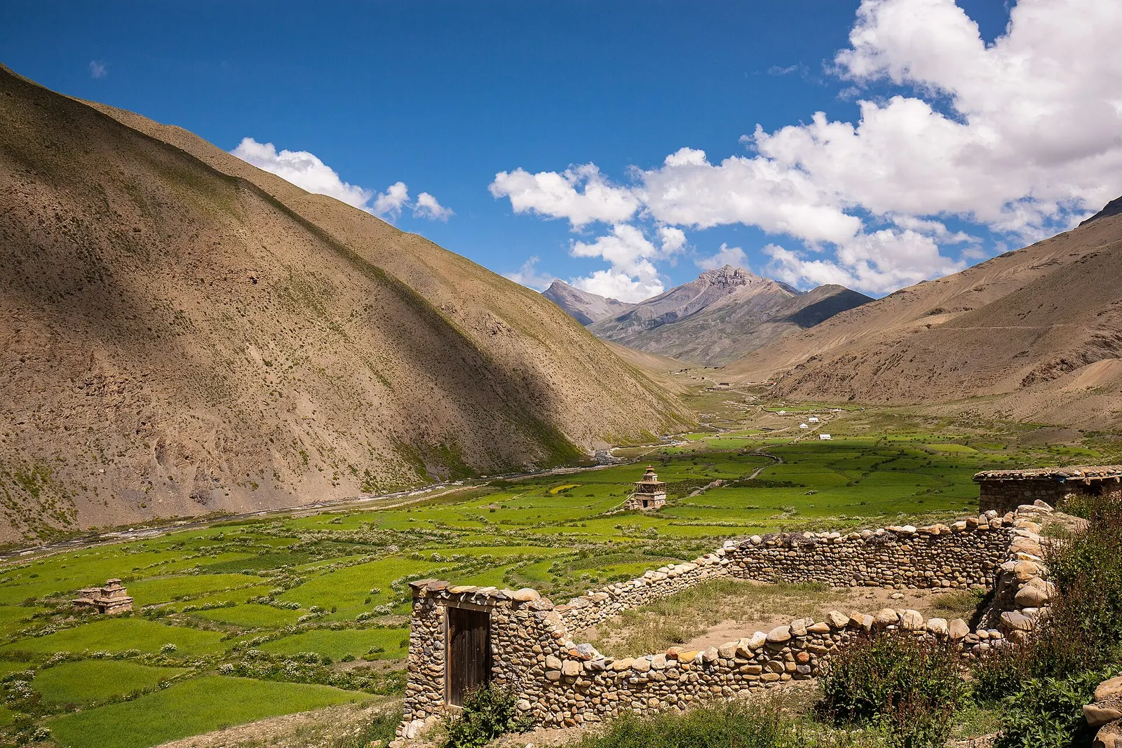
This traverse links Dolpo and Mustang across remote, rarely visited country in Nepal. From Juphal it follows the Thuli Bheri to Tarakot and climbs the Tarap Khola gorge to Dho Tarap, a farming village in a wide valley at about 4,000 m, then heads east over passes above 5,000 m to the stone village of Chharka Bhot.
From Chharka the route crosses a high, empty plateau and the Sangda La (also called the Jungben La, about 5,550 m), the highest point, before descending to the isolated village of Sangda and over a lower ridge to Phalyak and Jomsom in the Kali Gandaki valley. Pass names and the exact line between Dho and Chharka vary between itineraries.
It is a fully supported camping expedition through two restricted areas, with long days, several nights above 4,500 m and very limited rescue options. It suits experienced trekkers with time to spare for weather.
Why it is rated challenging
Sleeping altitude for each night. The dashed lines at 3,000 m and 4,000 m mark heights where altitude illness becomes more common. General information only, not medical advice.
Hover, tap or use the arrow keys to see each day. Shaded columns are acclimatisation days.
| Day | Overnight | Sleeping altitude | High point |
|---|---|---|---|
| 1 | Dunai | 2,090 m | - |
| 2 | Tarakot | 2,540 m | - |
| 3 | Laini | 3,170 m | - |
| 4 | Nawarpani | 3,545 m | - |
| 5 | Dho Tarap | 4,080 m | - |
| 6 | Dho Tarap (rest) | 4,080 m | - |
| 7 | High camp towards Chharka | 4,600 m | - |
| 8 | Camp in the upper Chharka valley | 4,600 m | 5,370 m |
| 9 | Chharka Bhot | 4,320 m | - |
| 10 | Chharka Bhot (rest) | 4,320 m | - |
| 11 | Molum Sumna | 4,860 m | - |
| 12 | Ghalden Ghuldun | 4,245 m | 5,550 m |
| 13 | Sangda | 3,770 m | - |
| 14 | Phalyak | 3,175 m | - |
| 15 | Jomsom | 2,720 m | - |
| 16 | Pokhara | 822 m | - |
A short flight to Juphal (about 2,475 m), then 2-3 hours down to Dunai on the Thuli Bheri. Keep spare days for weather.
Lodge in DunaiAbout Dunai
East along the Thuli Bheri valley to Tarakot, an old fortified village above the river.
Camp or lodge near Tarakot
Into the Tarap Khola gorge, crossing the river on bridges and climbing on trails cut into the cliffs.
Camp at Laini
Further up the narrowing gorge through juniper and rock.
Camp at Nawarpani
The gorge opens into the wide Tarap valley with chortens, fields and the village of Dho.
Camp or homestay in Dho TarapAbout Dho Tarap
Acclimatise and visit the Buddhist and Bon monasteries of the valley.
Camp or homestay in Dho TarapAbout Dho Tarap
Up the valley past Tokyu and into high pasture to a camp below the first pass. Itineraries differ here: some cross the Chan La, others the Jhyarkoi La and Mo La.
Camp below the pass
Cross the pass, about 5,360-5,380 m depending on the route, and descend to a camp in open grassland.
Camp in high pasturehigh point Jhyarkoi La or Chan La, 5,370 m
Over a lower pass (such as the Mo La, about 5,035 m) or down the valley to the compact stone village of Chharka.
Camp or homestay in Chharka BhotAbout Chharka Bhot
Rest, explore the village and check the weather before the long crossing to Mustang.
Camp or homestay in Chharka BhotAbout Chharka Bhot
East and south across a high plateau to a camp near a river confluence, the highest night of the trek.
Camp at Molum Sumna
Cross the Niwar La (about 5,120-5,150 m) and the Sangda La (Jungben La, about 5,550 m), then descend steeply to a riverside camp.
Camp at Ghalden Ghuldunhigh point Sangda La (Jungben La), 5,550 m
Down a gorge and across slopes to Sangda, a small, isolated Mustang village.
Camp or homestay in Sangda
Over the Bhima Lojun La (about 4,460 m) with views of Dhaulagiri and Nilgiri, then down to Phalyak above the Kali Gandaki.
Camp or homestay in Phalyak
A final descent to the Kali Gandaki and along the valley to Jomsom, the first town with lodges and shops in many days.
Teahouse in JomsomAbout Jomsom
Morning flight of about 20 minutes; flights are often delayed by wind and cloud.
Hotel in PokharaAbout Pokhara
Stages, times and altitudes vary by operator, weather and pace. Partner agencies confirm the exact plan.
Approximate route drawn through the overnight stops.
Lower Dolpa restricted-area permitRestricted area
Covers Thuli Bheri Municipality and Dolpo Buddha wards 1-3, including the Tarap valley. The Department of Immigration fee table lists USD 20 per person per week and USD 5 per day beyond a week.
Upper Dolpa restricted-area permitRestricted area
Needed for Charka Tangsong Rural Municipality (Chharka). The fee table lists USD 500 per person for the first 10 days and USD 50 per day after that.
Shey Phoksundo National Park entry permitNational park
Check with your agency whether it applies to this route; it does for routes via Phoksundo Lake.
ACAP entry permit (Annapurna Conservation Area)Conservation area
For the Mustang section via Sangda, Phalyak and Jomsom.
TIMS cardTrekker card
Check whether a TIMS card is currently required; since 2023 it has been issued through registered trekking agencies.
Restricted area
Restricted-area permits are issued only through a government-registered trekking agency, for trekkers accompanied by a licensed guide; the rules have long required a minimum group of two trekkers, and changes have been reported, so confirm the current rule with the Department of Immigration or a licensed agency.Verify before travel: permit rules and fees change. Checked 2026-10-06 against Department of Immigration, Nepal: Trekking Route and Permit Fee. Guide rule: The National: Nepal bans solo trekking for tourists, guides mandatory from April 1 (March 2023).
Nepal trekking permits explainedBest months: May-Oct
Nearest hub: Nepalgunj. Times are typical ranges, not schedules, and vary with roadworks, weather and the season.
By airfrom Nepalgunjabout 0.6-0.8 hDolpa (Juphal)often delayed or cancelled by weather
Small aircraft from Nepalgunj serve Dolpa (Juphal) airport at about 2,500 m, on a 663 m asphalt strip. Nepalgunj is the hub for the remote western airstrips, and the Juphal leg is weather-dependent.
When to set off: Morning flights only; most travellers fly Kathmandu to Nepalgunj the day before and allow spare days.
By car or jeepfrom Nepalgunj
Rough seasonal roads reach Dunai from the lowlands via Jajarkot or Rukum; they are long and unreliable and no sourced hour band was found.
Road: Long rough mountain road, 4WD only, with an alignment and usable season that change from year to year.
On footfrom Juphalabout 2-3 hAbout 2-3 hours from the Juphal airstrip, mostly downhill, dropping roughly 400 m to the Thuli Bheri.
The standard arrival: fly to Juphal at about 2,500 m and walk down to Dunai on the river.
Typical seasonal exposure along the route, merged from the stops that have a place page. Seasonal patterns only, never conditions today.
Landslideshigh in a typical yearJun-Sep
The road in from Beni through Tatopani and Ghasa is prone to landslides and flooding in the monsoon, and is generally trouble-free in the dry season from about October to May.
Recorded for Dolpo, Dunai, Dho Tarap, Chharka and 1 more. Jomsom, Wikivoyage
Otherhigh in a typical yearAll year
Access, not rain, is the monsoon problem: cloud on the Nepalgunj-Juphal leg frequently delays or cancels the flight into Dolpa, and spare days at either end are normal.
Recorded for Dolpo, Dunai, Dho Tarap, Chharka and 1 more. Dolpa (Juphal) Airport, Wikipedia
Altitudehigh in a typical yearAll year
Juphal is about 2,500 m, Phoksundo Lake about 3,600 m, the Upper Dolpo villages 3,800-4,200 m and the passes above 5,000 m. Altitude sickness becomes common above roughly 2,500 m. General information, not medical advice: gain height slowly (a common guideline is no more than about 300 m a day in sleeping altitude once high), learn the symptoms, descend if they get worse, see a doctor before travelling, and carry insurance that covers helicopter evacuation.
Recorded for Dolpo, Dho Tarap, Chharka. Altitude sickness, Wikipedia
Snowhigh in a typical yearNov-Apr
The Upper Dolpo routes cross passes above 5,000 m; these hold snow from late autumn into spring, and in deep winter they are not normally crossed.
Recorded for Dolpo, Dunai, Dho Tarap, Chharka. Dolpo, Wikipedia
Coldhigh in a typical yearNov-Mar
Winter at 3,800-4,200 m in Dolpo is severe and many families move with their animals to lower ground, so shelter and food along the route thin out.
Recorded for Dolpo, Dunai, Dho Tarap, Chharka and 1 more. Dolpo, Wikipedia
Road blockageshigh in a typical yearJun-Sep
The rough roads reaching Dunai from the south are long and unreliable, and monsoon rain is when blockages are most likely; the flight to Juphal is the normal way in.
Recorded for Dolpo, Dunai, Jomsom. Dolpa (Juphal) Airport, Wikipedia
River crossingsmoderate in a typical yearJun-Sep
The approach up the Tarap Khola gorge from Tarakot uses narrow trails and bridges above the river, and flows are highest from June to September.
Recorded for Dho Tarap. Dolpo, Wikipedia
Check current conditions before you travel
Nothing here describes the Dho Tarap to Jomsom Traverse today. Trail, road, pass and flight conditions change with the weather and with roadworks. Check the Department of Hydrology and Meteorology, the Nepal Disaster Risk Reduction Portal and the local authority or your licensed operator before and during the trek.
Forecasts for start (Dunai, 2,090 m), highest overnight (Molum Sumna, 4,860 m), end (Pokhara, 822 m). Mountain weather changes fast; check again on the day.
Forecast for 2,090 m. Conditions change fast in the mountains.
Weather data: MET Norway, licensed CC BY 4.0. A forecast, not a guarantee.
Forecast for 4,860 m. Conditions change fast in the mountains.
Weather data: MET Norway, licensed CC BY 4.0. A forecast, not a guarantee.
Forecast for 822 m. Conditions change fast in the mountains.
Weather data: MET Norway, licensed CC BY 4.0. A forecast, not a guarantee.
Reach Dho Tarap from Phoksundo Lake over the Baga La and Numa La instead of up the Tarap Khola, adding a few days.
Some itineraries leave Chharka for Ghami in Upper Mustang over the Ghami La, which needs an Upper Mustang permit as well.
From Jomsom, add two days to visit Kagbeni and the Muktinath temple.
About 16 to 26 days including flights, depending on route, rest days and weather.
Lower Dolpa and Upper Dolpa restricted-area permits through a registered agency, an ACAP permit for the Mustang side, and possibly a Shey Phoksundo National Park permit.
The Sangda La, also called the Jungben La, is about 5,550 m; several other passes are above 5,000 m.
Only at the ends and in a few villages. It is a camping trek with a cook and porters.
May to October, when the passes are usually clear of deep snow. Early autumn is the most common choice.
A long restricted-area camping trek from Juphal past Phoksundo Lake, over the Kang La to Shey Gompa and Saldang, and back via the Jeng La and the Tarap valley.
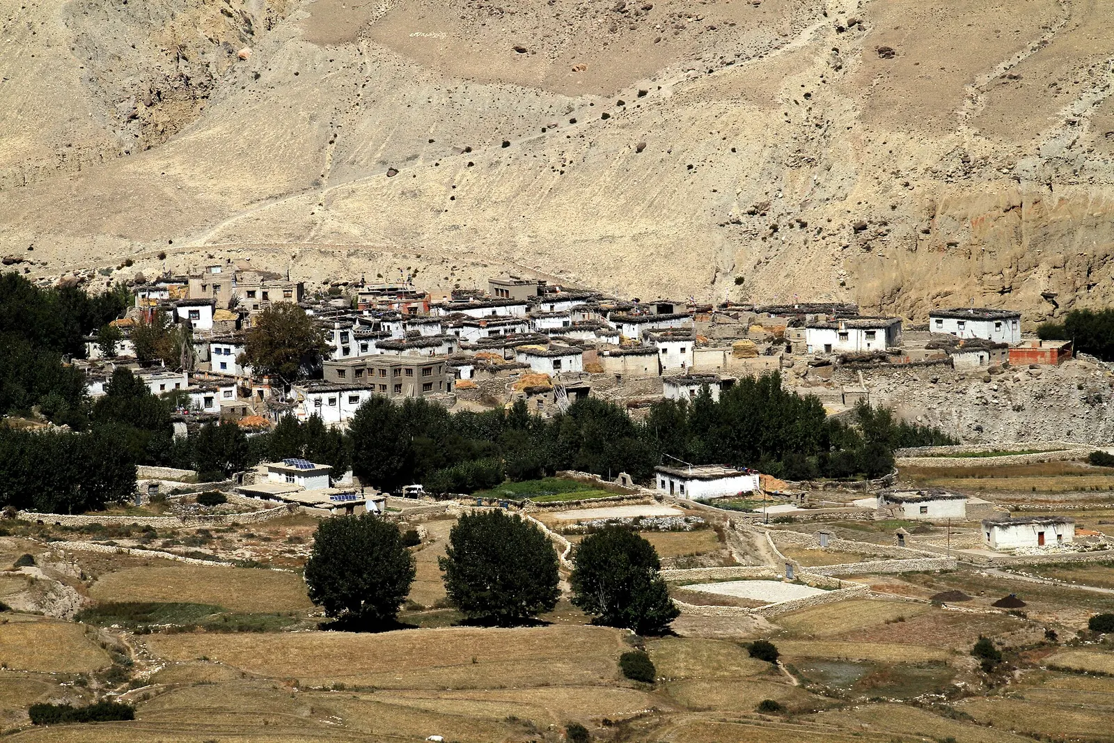
A restricted-area trek north from Kagbeni through the eroded canyons of the former Kingdom of Lo to the walled town of Lo Manthang, returning via Lo Gekar and Dhakmar.
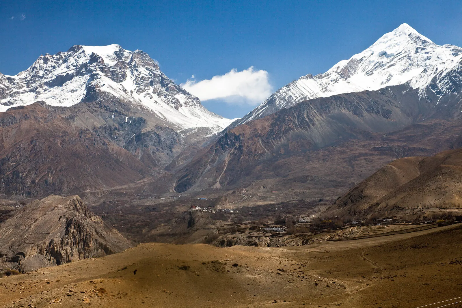
A short trek in Lower Mustang from Jomsom via Kagbeni to the Muktinath temple (about 3,760 m) and back through Marpha, with flights from and to Pokhara.
Dho Tarap to Jomsom · 16 days