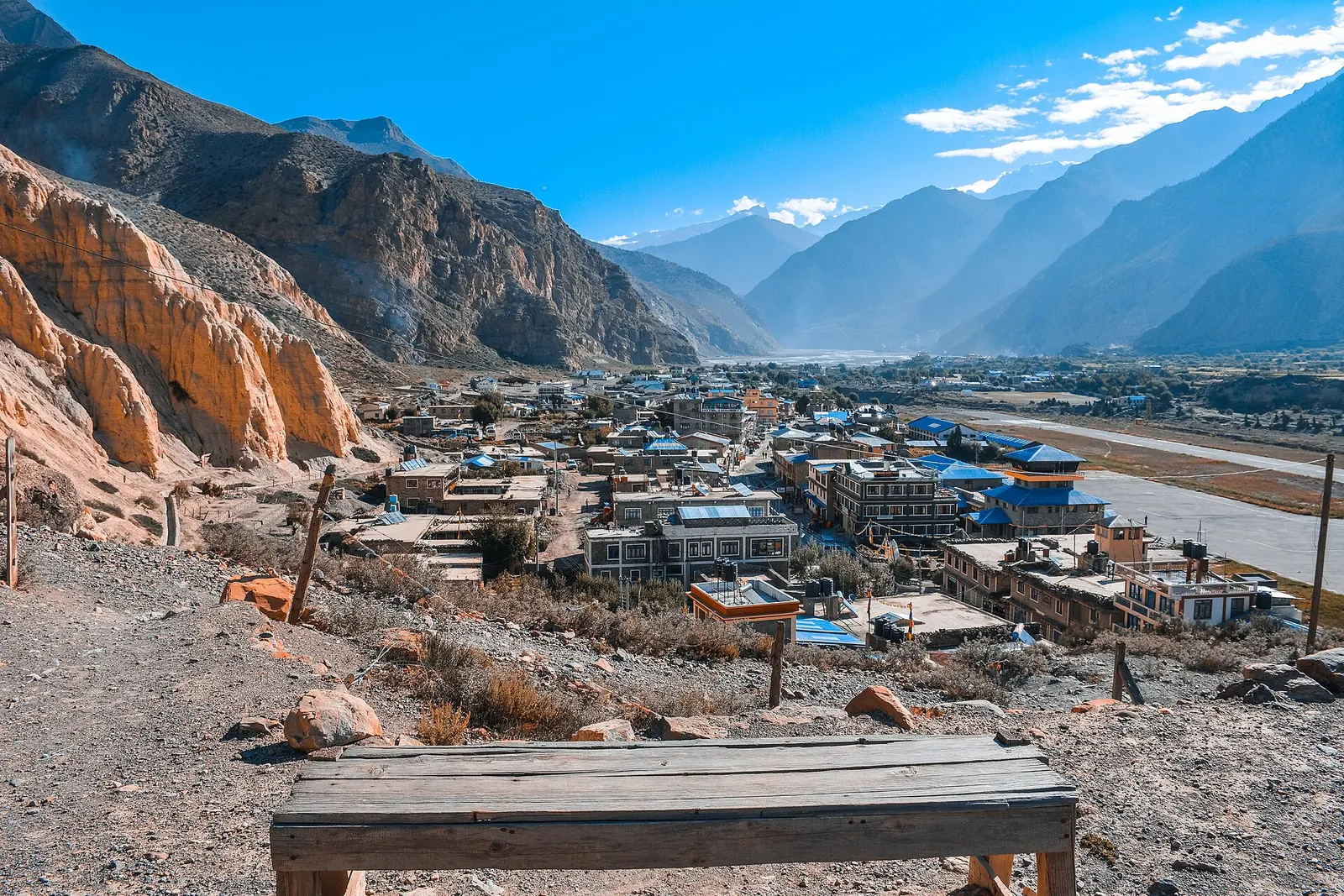
Lake · 3,612 m
Phoksundo Lake
A deep turquoise alpine lake in Dolpo, dammed by an ancient landslide, with the Bon village of Ringmo on its shore.
Far Westडोल्पो
A remote, high trans-Himalayan region of turquoise lakes, Bon villages and long camping treks.
Dolpo is the culturally Tibetan highland region of Dolpa district in Karnali Province; Dolpa is the name of the district as a whole.
Higher seasonal exposure: other (Jun-Sep), altitude (All year), snow (Nov-Apr), cold (Nov-Mar), road blockages (Jun-Sep).
Dolpo is the high, culturally Tibetan upper part of Dolpa district in western Nepal, bordered by Tibet to the north and shut off from the rest of the country by the Dhaulagiri and Kanjiroba ranges. Those mountains block most of the monsoon, so much of Dolpo is a semi-arid landscape of bare ridges, barley fields and high pastures, closer in feel to the Tibetan plateau than to the green hills of central Nepal. Much of the region lies within Shey Phoksundo National Park, Nepal's largest national park and its only trans-Himalayan one, covering about 3,555 square km of Dolpa and Mugu.
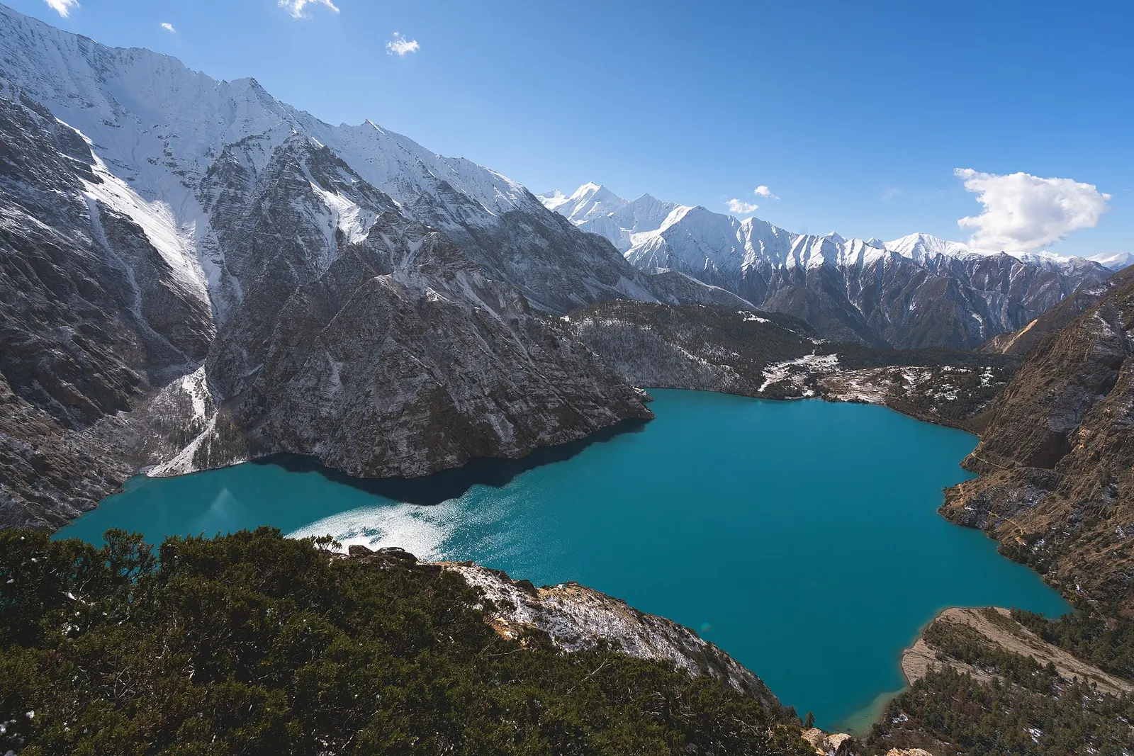
For travellers the region divides in two. Lower Dolpo, reached from the airstrip at Juphal, includes the trek up the Suli Gad gorge to Ringmo village and Phoksundo Lake, the region's best-known sight and covered as a separate page in this section, and the Dho Tarap valley with its chortens and monasteries. Upper Dolpo, beyond high passes north of the lake, takes in Shey Gompa below Crystal Mountain, Saldang and the remote valleys along the Tibetan border, and needs long, fully supported treks of three weeks or more.
Dolpo is known through Peter Matthiessen's book The Snow Leopard and the film Himalaya (released in some countries as Caravan), and it remains one of the least visited trekking areas in Nepal. The park is home to snow leopard, blue sheep, Himalayan wolf and musk deer; a 2019-2022 survey recorded around 90 snow leopards.
The story
Shey Gompa sits below Crystal Mountain, Dolpo's holy peak. Pilgrims say one circuit of the mountain is worth many circuits of lesser peaks. Dolpo is also one of the last homes of Bon, the faith that came before Buddhism in the Himalaya.
Lake · 3,612 m
A deep turquoise alpine lake in Dolpo, dammed by an ancient landslide, with the Bon village of Ringmo on its shore.
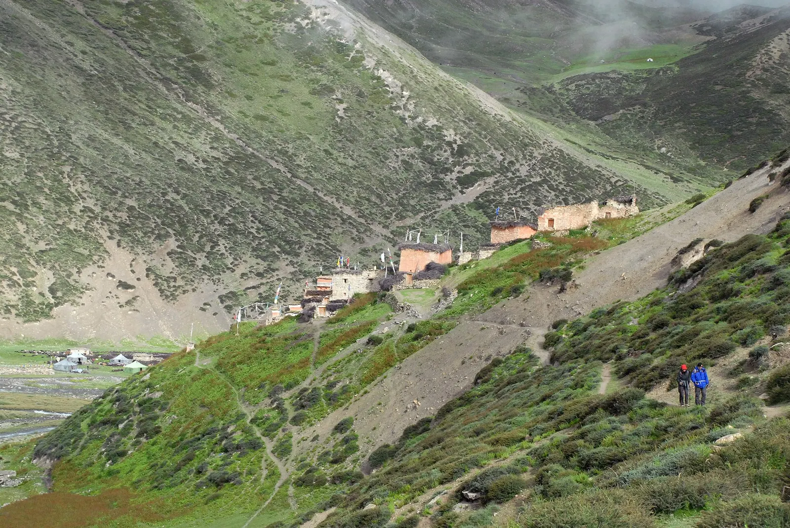
Temple, monastery or heritage site · 4,340 m
A remote monastery in Upper Dolpo below Crystal Mountain, reached over the Kang La from Phoksundo Lake.
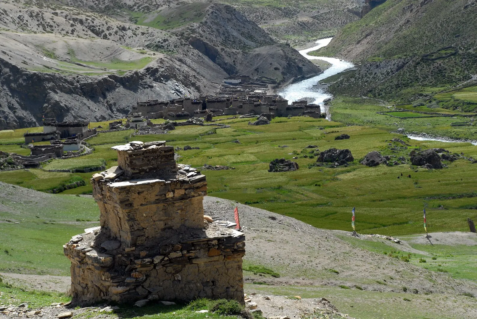
Trek stop · 4,320 m
A fortified-looking stone village in eastern Dolpo, a key stop on traverses between Dolpo and Mustang.
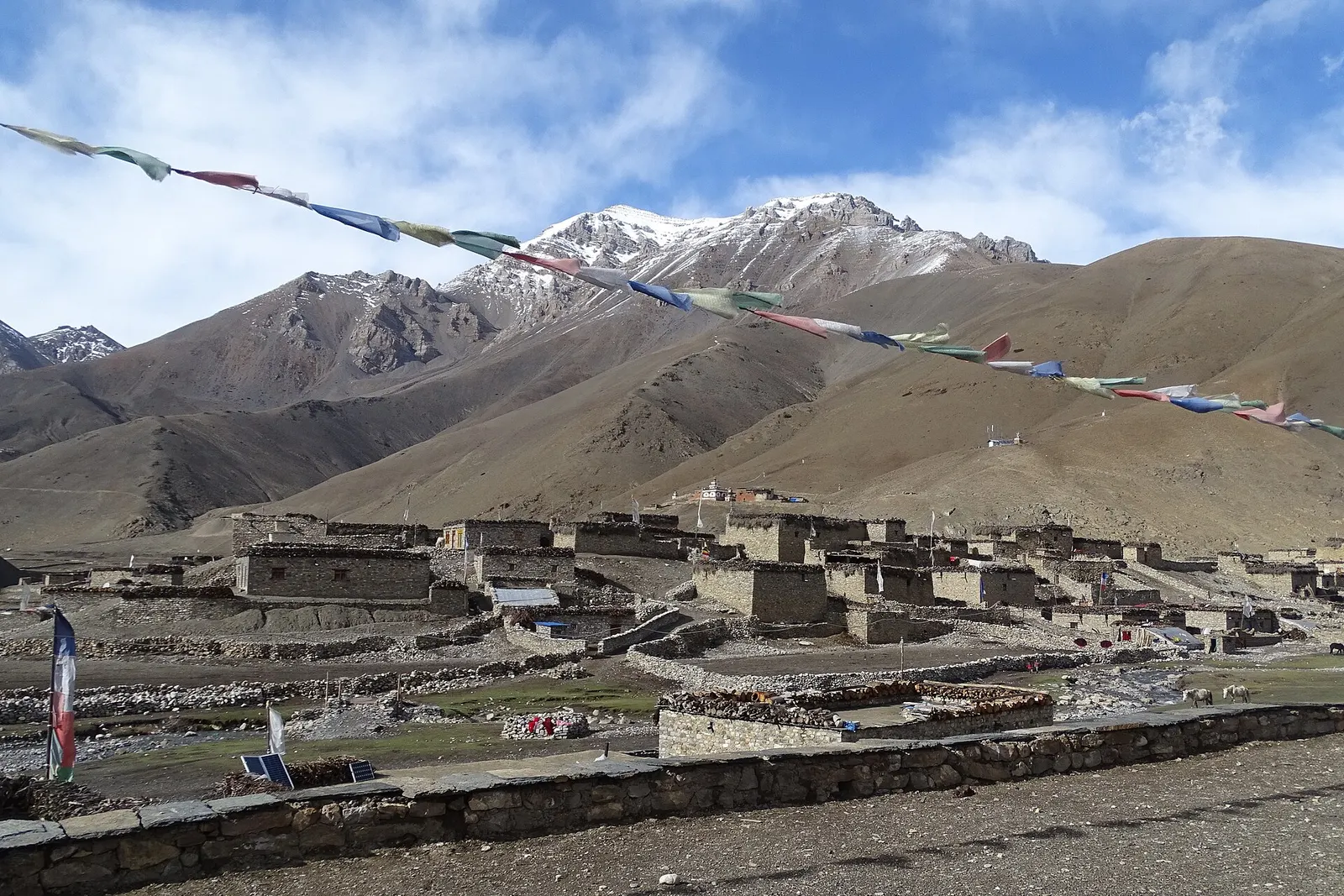
Trek stop · 4,080 m
A high farming village in the Tarap valley of Dolpo, a crossroads of treks between Phoksundo, Upper Dolpo and Mustang.
Trek stop · 2,090 m
The district headquarters of Dolpa on the Thuli Bheri river, the first night for most treks into Dolpo.
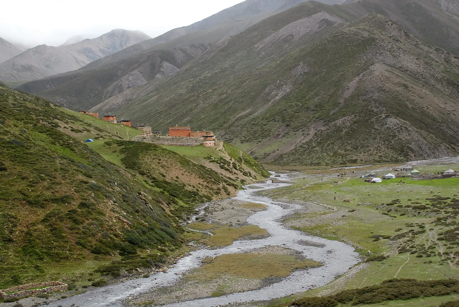
Trek stop · 3,620 m
The largest village of Upper Dolpo, scattered high above the Nankhang valley on the old salt-trade route to Tibet.
Dolpo appears in records from around the 8th century and has been ruled at different times by Tibetan kingdoms such as Purang and Guge before becoming part of Nepal. The people, known as Dolpopa, follow Tibetan Buddhism and Bon, the older Tibetan religious tradition whose modern form is recognised as a school alongside the Buddhist ones; Ringmo and several Tarap villages are notable Bon communities. Shey Gompa dates back to the 11th century by tradition.
Life is agro-pastoral: families farm barley, buckwheat and potatoes at up to around 4,000 m and move herds to summer pastures above that. For centuries they traded salt from Tibet for grain from the Nepali hills through hereditary trading partnerships, using yak and sheep caravans over the high passes. Changes in trade and the border have weakened this system, but yak caravans can still be seen.
Upper Dolpo camping trekWith a guide
A full camping expedition through a registered agency, with restricted area permits and a crew. Plan months ahead. Arranged through a licensed local operator.
indicative, from about US$2,500
Phoksundo Lake trek
Juphal to Ringmo and the lake via Dunai and Chhepka, about 3-4 days each way; the most accessible trek in the region.
Lower Dolpo circuit
Links Phoksundo with the Dho Tarap valley over high passes, typically 2-3 weeks with camping or simple lodges.
Upper Dolpo trek
A long, fully supported expedition-style trek to Shey Gompa, Saldang and beyond, usually 3-4 weeks.
Monastery visits
Visit Bon and Buddhist gompas in Ringmo, Dho Tarap and Upper Dolpo; ask permission before entering and photographing.
Forecast for 3,612 m. Conditions change fast in the mountains.
Weather data: MET Norway, licensed CC BY 4.0. A forecast, not a guarantee.
May-Oct
A few simple lodges in Lower Dolpo near Phoksundo. Upper Dolpo requires full camping with a crew.
Simple lodges and homestays operate in Juphal, Dunai, Chhepka and Ringmo; elsewhere in Lower and Upper Dolpo most treks camp with full support.
No partner stays are listed here yet. List a property.
Tsampa (roasted barley flour), butter tea and simple meals cooked by your trekking crew.
Most visitors fly from Nepalgunj to Juphal and walk from there. Roads are reaching Dunai, but are rough and often blocked.
Nearest hub: Juphal airport
Nearest hub: Nepalgunj. Times are typical ranges, not schedules, and vary with roadworks, weather and the season.
By airfrom Nepalgunjabout 0.6-0.8 hDolpa (Juphal)often delayed or cancelled by weather
Small aircraft from Nepalgunj serve Dolpa (Juphal) airport at about 2,500 m, on a 663 m asphalt strip. Nepalgunj is the hub for the remote western airstrips, and the Juphal leg is weather-dependent.
When to set off: Morning flights only; most travellers fly Kathmandu to Nepalgunj the day before and allow spare days.
By car or jeepfrom Nepalgunj
Rough roads from the lowlands reach Dunai, but they are long, seasonal and unreliable, and no sourced hour band was found; almost everyone flies to Juphal instead.
Road: Long rough mountain roads from the south; 4WD only, and the alignment and usable season change from year to year.
On footfrom Juphalabout 2-3 hJuphal to Dunai is about 2-3 hours downhill; Dunai to Phoksundo Lake takes a further 2-3 days, and Upper Dolpo another week beyond that.
Dolpo is walking country: the airstrip at Juphal is the trailhead, and the region is reached from there in three days by horse or on foot.
Restricted-area permit
Shey Phoksundo National Park permits are needed throughout. The Phoksundo Lake trek via Ringmo needs only the park permit, while Lower Dolpo (including the Dho Tarap area) and Upper Dolpo are restricted areas that require permits through a registered trekking agency with a licensed guide; the Upper Dolpo permit is the more expensive of the two.
Verify before travel: permit rules and fees change. Checked 2026-10-06 against Department of Immigration, Nepal: restricted areas.
What this place is typically exposed to, and when. These are seasonal patterns, not a report on conditions now.
Otherhigh in a typical yearJun-Sep
Access, not rain, is the monsoon problem: cloud on the Nepalgunj-Juphal leg frequently delays or cancels the flight into Dolpa, and spare days at either end are normal.
Altitudehigh in a typical yearAll year
Juphal is about 2,500 m, Phoksundo Lake about 3,600 m, the Upper Dolpo villages 3,800-4,200 m and the passes above 5,000 m. Altitude sickness becomes common above roughly 2,500 m. General information, not medical advice: gain height slowly (a common guideline is no more than about 300 m a day in sleeping altitude once high), learn the symptoms, descend if they get worse, see a doctor before travelling, and carry insurance that covers helicopter evacuation.
Snowhigh in a typical yearNov-Apr
The Upper Dolpo routes cross passes above 5,000 m; these hold snow from late autumn into spring, and in deep winter they are not normally crossed.
Coldhigh in a typical yearNov-Mar
Winter at 3,800-4,200 m in Dolpo is severe and many families move with their animals to lower ground, so shelter and food along the route thin out.
Road blockageshigh in a typical yearJun-Sep
The rough roads reaching Dunai from the south are long and unreliable, and monsoon rain is when blockages are most likely; the flight to Juphal is the normal way in.
Landslideslow in a typical yearJun-Sep
Dolpo is a trans-Himalayan rain-shadow region with under 500 mm of precipitation a year, so monsoon rain and landslide exposure in the upper valleys is low; the lower Suli Gad and Bheri trails are wetter.
Check current conditions before you travel
Roads, trails, passes and flights change with the weather and with roadworks, and nothing on this page describes conditions today. Before you set off, check the Department of Hydrology and Meteorology for weather and flood warnings, the Nepal Disaster Risk Reduction Portal for incidents, and the local authority, police or your licensed operator for road, trail and flight status.
Safety
This place is above 3,000 m. Altitude illness can affect anyone, whatever their fitness. Gain height slowly, know the symptoms, never go higher with symptoms, and descend if they get worse. This is general information, not medical advice: talk to a doctor before you travel and buy insurance that covers helicopter evacuation at the altitudes you plan to reach. Upper Dolpo is very remote, with days between villages and no reliable phone coverage. Evacuation depends on weather; carry a satellite communication device and confirm your insurance cover.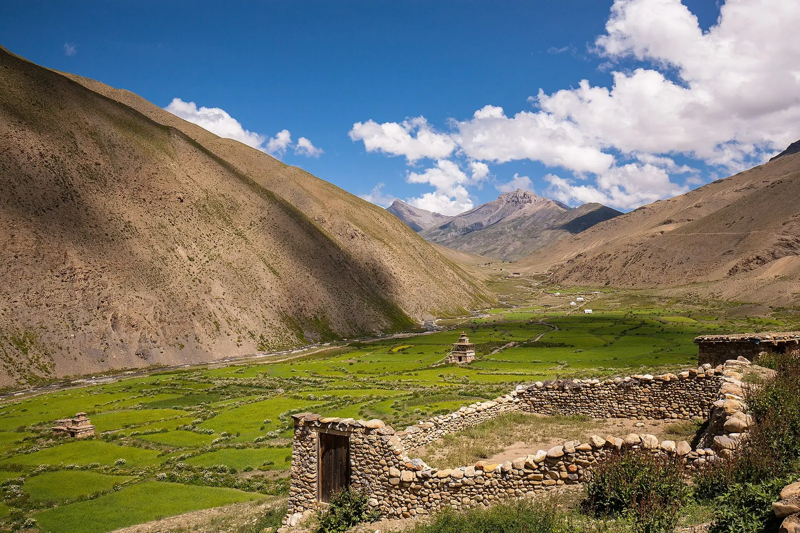
A remote camping traverse from Juphal up the Tarap valley to Dho Tarap, east over high passes to Chharka Bhot, and over the Sangda La into Mustang to finish at Jomsom.
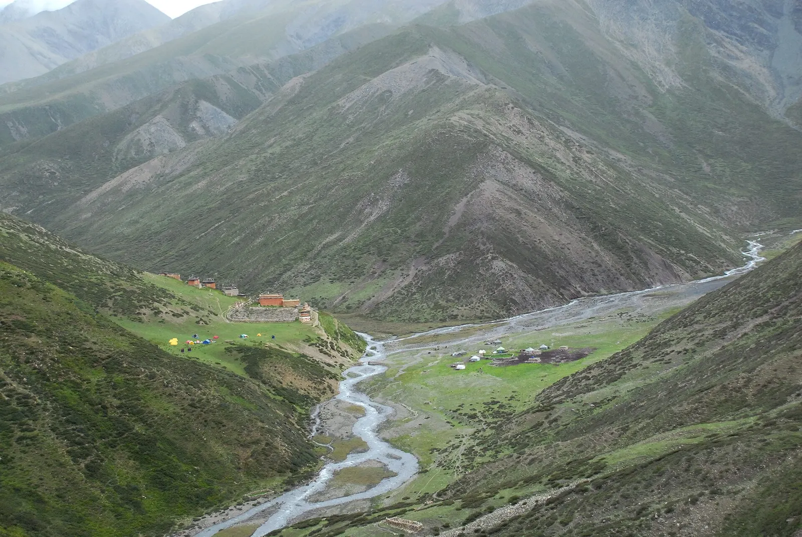
A long restricted-area camping trek from Juphal past Phoksundo Lake, over the Kang La to Shey Gompa and Saldang, and back via the Jeng La and the Tarap valley.
Fly to Nepalgunj, then take a small plane to Juphal and walk from there; Phoksundo Lake is about 3-4 days on foot.
For the Phoksundo Lake trek via Ringmo, the national park permit is enough. Lower and Upper Dolpo beyond that are restricted areas needing permits through an agency with a licensed guide.
May to October. Upper Dolpo lies in the rain shadow and is often trekked during the monsoon; winter closes the passes.
Lower Dolpo covers Phoksundo Lake and the Dho Tarap valley; Upper Dolpo lies north of the high passes, around Shey Gompa and Saldang, and needs a longer trek and a costlier permit.
Upper Dolpo is a restricted area and needs a Restricted Area Permit issued through a registered agency, with a licensed guide and at least two trekkers. Lower Dolpo has its own permit rules. Both need a Shey Phoksundo National Park entry permit. Confirm current rules before booking.
May to October. Dolpo lies in the rain shadow, so it is drier than most of Nepal during the monsoon, although flights to Juphal can still be disrupted.