
Valley or region
Dolpo
A remote trans-Himalayan region of Bon and Buddhist villages, high passes and turquoise Phoksundo Lake, behind the Dhaulagiri and Kanjiroba ranges.
Karnali Provinceडोल्पा
Nepal's largest and one of its most remote districts, home to Phoksundo Lake, Shey Gompa and the high Tibetan-style valleys of Dolpo.
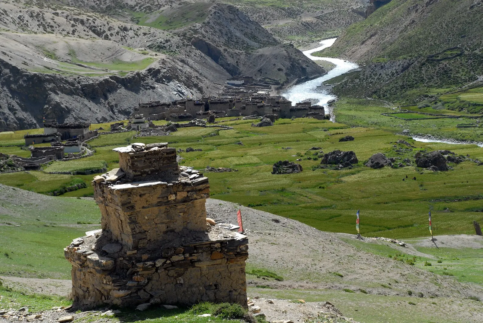
Dolpa is a vast trans-Himalayan district in the north of Karnali Province, bordering Tibet to the north, Mustang and Myagdi to the east and Jumla and Mugu to the west. The lower south, around Dunai on the Thuli Bheri River, has forested gorges, while the north, the region known as Dolpo, sits behind the main Himalaya in a dry rain shadow of high passes, barren valleys and scattered villages. Much of it lies within Shey Phoksundo National Park.
Upper Dolpo is home to Tibetan-speaking communities who follow Buddhism and the older Bon tradition, farm barley at high altitude and still move goods by yak and mule caravan. Monasteries such as Shey Gompa, and villages such as Saldang, Dho Tarap and Chharka, draw trekkers on long, demanding routes. The turquoise Phoksundo Lake is the main draw for those visiting Lower Dolpo, which is reached in a few days' walk from Dunai.
Valley or region
A remote trans-Himalayan region of Bon and Buddhist villages, high passes and turquoise Phoksundo Lake, behind the Dhaulagiri and Kanjiroba ranges.
Lake · 3,612 m
A deep turquoise alpine lake in Dolpo, dammed by an ancient landslide, with the Bon village of Ringmo on its shore.
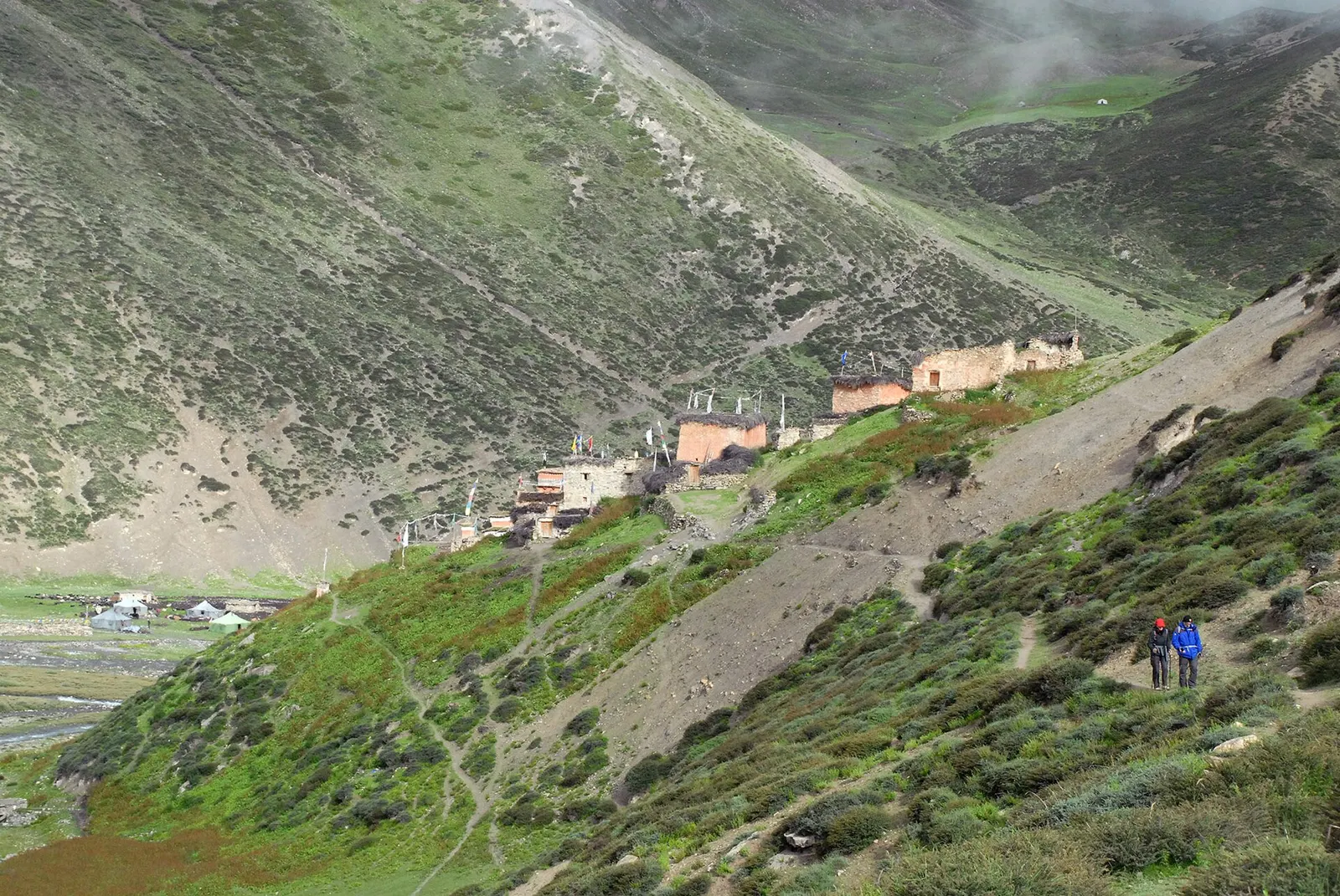
Temple, monastery or heritage site · 4,340 m
A remote monastery in Upper Dolpo below Crystal Mountain, reached over the Kang La from Phoksundo Lake.
Most visitors fly from Nepalgunj to Juphal, a short walk from Dunai, though flights are weather-dependent. Rough roads now reach the district from the south, but they are slow and often blocked in the monsoon. Upper Dolpo is a restricted area that requires a special permit and a registered guide.
Late spring to autumn is best: Upper Dolpo sits in a rain shadow and is good for trekking through the summer months, while winter brings deep cold, snow-closed passes and few flights.
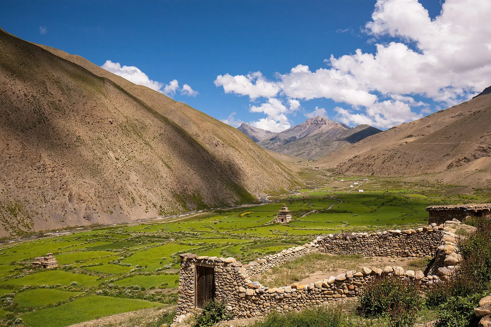
A remote camping traverse from Juphal up the Tarap valley to Dho Tarap, east over high passes to Chharka Bhot, and over the Sangda La into Mustang to finish at Jomsom.
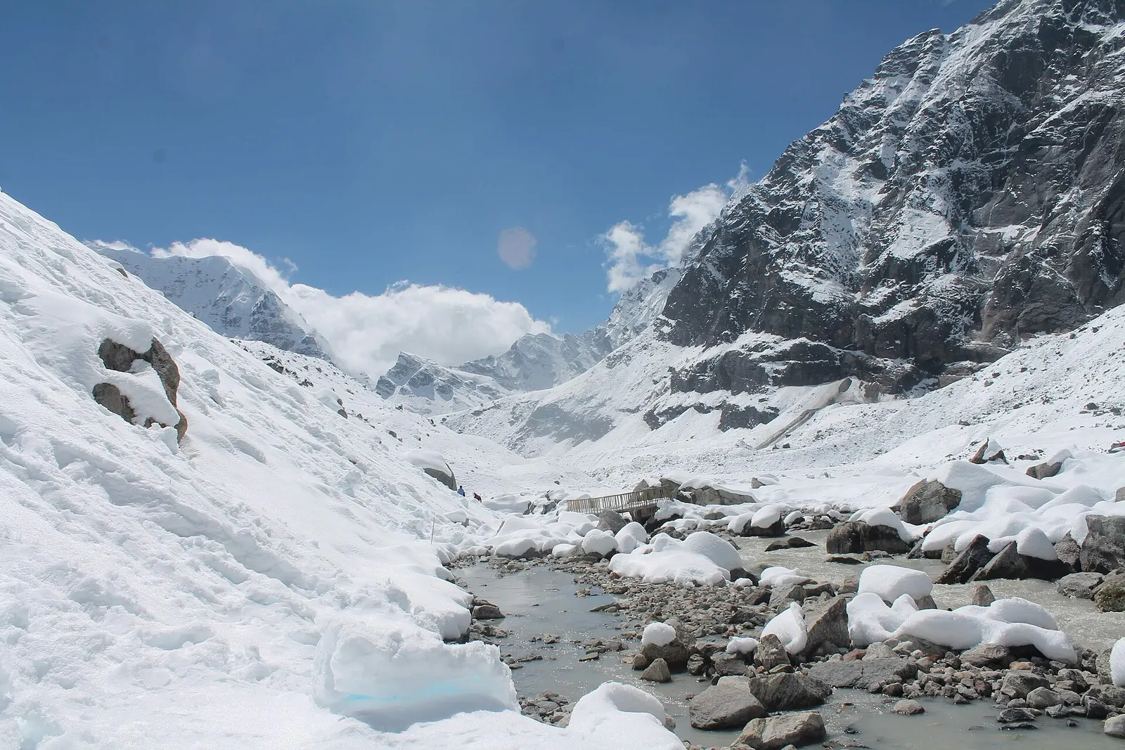
A network of high and mid-hill routes about 1,700 km long that crosses Nepal from Kanchenjunga in the east to Humla and the far west, usually walked in sections, or as a through-trek of about four to five months.
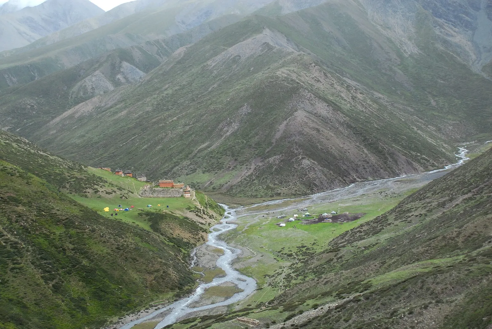
A long restricted-area camping trek from Juphal past Phoksundo Lake, over the Kang La to Shey Gompa and Saldang, and back via the Jeng La and the Tarap valley.