Town or village
Hilsa
A small border post on the Humla Karnali where travellers cross from Nepal into Tibet on the way to Mount Kailash.
Karnali Provinceहुम्ला
Nepal's far north-western corner, with Simikot as its airstrip hub, the remote Limi Valley and the old trade route towards Kailash in Tibet.
Humla is the north-westernmost district of Nepal, bordering Tibet to the north and east, with Mugu to the south-east and Bajura to the south-west. The Karnali River enters Nepal from Tibet here and cuts a deep valley through the district. The terrain runs from forested river valleys up to high, dry ridges and snow peaks, and the north lies in the rain shadow of the main Himalaya.
The south is home mostly to Hindu Khas communities, while the northern valleys, including Limi, are settled by Buddhist people of Tibetan culture who keep old gompas and trade with Tibet. Farming and herding are the mainstays. Travellers come for treks such as the Limi Valley loop and for the route from Simikot to the border at Hilsa, which many pilgrims use on the way to Mount Kailash and Lake Manasarovar.
Town or village
A small border post on the Humla Karnali where travellers cross from Nepal into Tibet on the way to Mount Kailash.
Valley or region · 3,700 m
A remote, high valley in northern Humla on the Tibetan border, with three Tibetan Buddhist villages and an 11th-century monastery.
Town or village · 2,950 m
The airstrip town and headquarters of Humla, starting point for treks to Limi and the overland route to Mount Kailash.
Humla is not yet fully linked to Nepal's road network, so most visitors fly to Simikot, usually from Nepalgunj or Surkhet, on small aircraft that depend on the weather. From Simikot, travel is on foot or by rough local tracks. Trekking in the north, including Limi, needs a restricted-area permit and a registered guide.
Spring and autumn are best for trekking, and the drier northern valleys can be walked through the summer, while winter brings heavy snow on the passes and frequent flight disruptions.
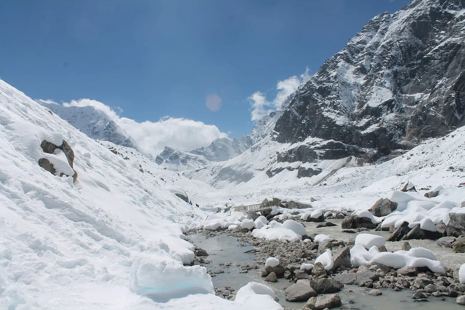
A network of high and mid-hill routes about 1,700 km long that crosses Nepal from Kanchenjunga in the east to Humla and the far west, usually walked in sections, or as a through-trek of about four to five months.