
Town or village · 2,514 m
Jumla
A highland bazaar town in the Tila valley of Karnali, known for red rice and apples and used as the starting point for the trek to Rara Lake.
Far Westरारा ताल
Nepal's largest lake, surrounded by pine forest in the remote north-west.
Higher seasonal exposure: landslides (Jun-Sep), other (Jun-Sep), snow (Dec-Mar), cold (Dec-Feb).
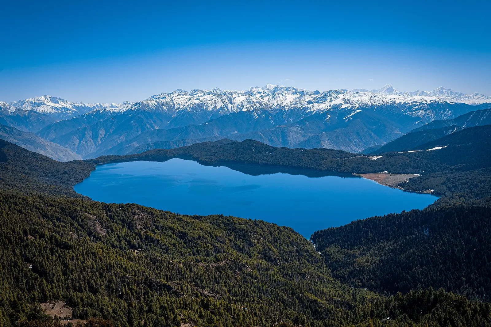
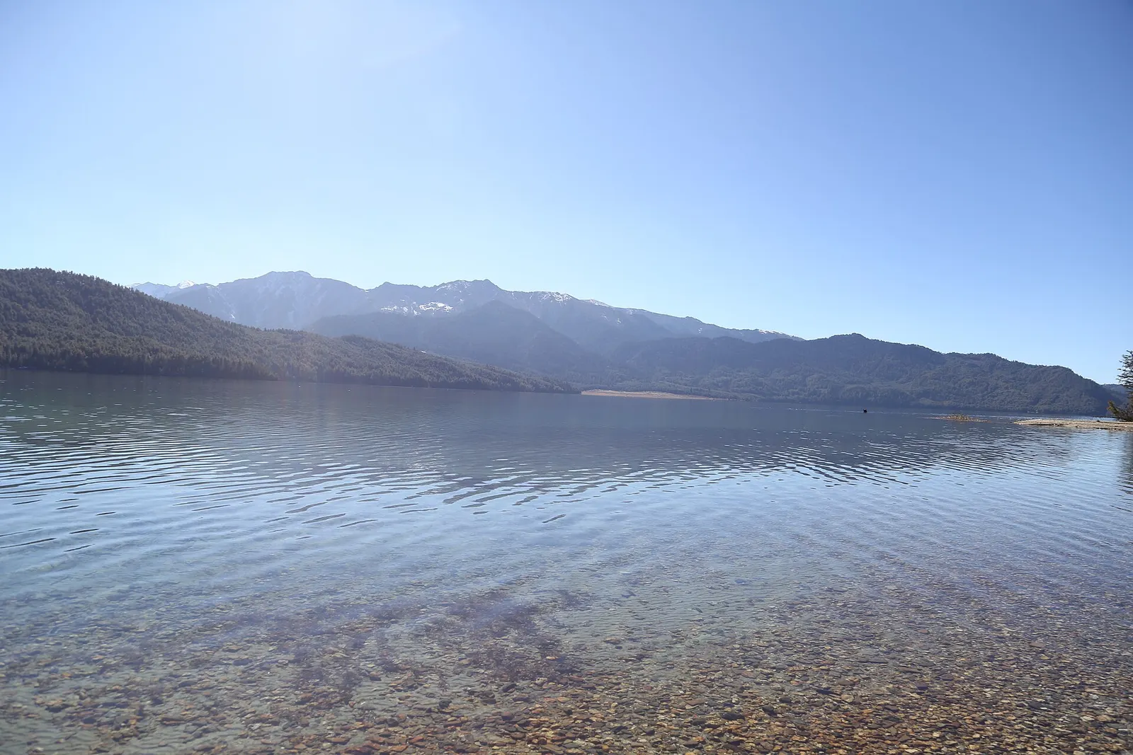
Rara Lake lies at about 2,990 m in Mugu district of Karnali Province, in the far north-west of Nepal. With a surface of roughly 10.6-10.8 square km, about 5 km long and 2.7 km wide, and a maximum depth of around 167 m, it is the largest lake in the country. It is the centrepiece of Rara National Park, Nepal's smallest national park at about 106 square km, established in 1976, and it was listed as a Ramsar wetland in 2007.
The lake is surrounded by forests of blue pine, spruce and juniper, with snow peaks of the Kanjiroba and Saipal ranges visible from the ridges. Its colour shifts through the day with the light and weather, from deep blue to turquoise and grey. A trail circles the shore in about a day, and the climb to Murma Top, at about 3,630 m above the southern shore, gives the classic view over the whole lake. In autumn and spring migratory waterbirds rest on the water, and the forests hold red panda, Himalayan black bear and musk deer.
Remoteness is part of the appeal. Until recently Rara could only be reached by a flight into the mountains followed by a walk, or a trek of several days from Jumla. A road now reaches the area, but the lake remains far from mass tourism and facilities are simple.
The story
Rara is known as the Queen of Lakes. Local people believe a protective goddess lives in its depths, and pilgrims walk around the shore as a kora. Shepherds say the changing colour of the water is the goddess changing her shawl.
Town or village · 2,514 m
A highland bazaar town in the Tila valley of Karnali, known for red rice and apples and used as the starting point for the trek to Rara Lake.
When the national park was created in 1976, the residents of the two villages of Rara and Chhapru, which stood beside the lake, were resettled in the Terai near Nepalgunj; the old village sites can still be seen. The lake was once also called Mahendra Daha after King Mahendra, and the park is protected with the help of a Nepal Army post.
The surrounding hills are home mainly to Thakuri, Chhetri and other Khas communities, alongside Buddhist villages in higher parts of Mugu. A small temple to Thakur Baba, a local deity, stands near the shore and is the focus of a fair during the festival season. Visitors should treat the lake as a sacred place: swimming and fishing are not appropriate.
Lake circuit walkBookable locally
A full-day walk around the shore of the lake, about 10 km, through forest and meadows. Pay the national park entry fee at the park office; lodges can arrange a local guide.
indicative, park entry about NPR 3,000
Murma Top viewpointWith a guide
A 5 to 6 hour return hike to a hilltop with a view of the whole lake and the mountains to the north. Hire a local guide at the lakeside lodges.
indicative, about US$25 for a local guide
Lake circuit
Walk the trail around the lake, about 5-7 hours, through pine forest and past the old village sites.
Murma Top
Climb to the ridge above the southern shore, about 2-3 hours up, for a full view of the lake and the peaks beyond.
Chuchemara Danda
A longer hike to a ridge at about 4,087 m north of the lake, for wide mountain views; go with a local guide.
Birdwatching
Watch for migratory ducks and grebes on the lake in autumn and spring.
Forecast for 2,990 m. Conditions change fast in the mountains.
Weather data: MET Norway, licensed CC BY 4.0. A forecast, not a guarantee.
Apr-May, Sep-Nov
A few simple lodges near the lake shore, plus camping. Book ahead in October.
A few lodges and homestays operate near the lake and at Talcha and the nearby villages; standards are basic, and camping is common on treks.
No partner stays are listed here yet. List a property.
Simple dal bhat and local produce; Jumla and Mugu are known for apples and red rice.
Fly from Nepalgunj to Talcha airport near the lake and walk the last stretch, fly to Jumla and trek or drive, or travel overland along the Karnali Highway.
Nearest hub: Nepalgunj
Nearest hub: Nepalgunj. Times are typical ranges, not schedules, and vary with roadworks, weather and the season.
By airfrom Nepalgunjabout 0.75-1 hRara (Talcha)often delayed or cancelled by weather
Small aircraft serve Rara (Talcha) airport from Nepalgunj, and one carrier also flies from Birendranagar (Surkhet). The strip is short, at 570 m of asphalt, and the leg is weather-dependent.
When to set off: Morning flights; fly Kathmandu to Nepalgunj the day before and allow a spare day.
By busfrom Surkhet (Birendranagar)Local buses
Buses run the Karnali Highway as far as Jumla and Mugu, slowly and over a largely unpaved alignment; no sourced hour band was found for the whole run to the Rara area.
When to set off: Buses up the Karnali Highway leave Surkhet early in the morning.
By car or jeepfrom Surkhet (Birendranagar)about 12-30 h
The Karnali Highway runs north from the Terai through Surkhet to Jumla and beyond. Only a short stretch was blacktopped as of 2010 and most of it is an unpaved mountain track, so the drive is slow; sources put the Surkhet-Jumla run anywhere between about half a day and more than two days. It is the route to the Rara area for anyone not flying.
Road: Largely unpaved mountain highway with long exposed sections; a 4WD or a rugged bus is needed, and monsoon landslides are a recurring problem.
When to set off: Vehicles leave Surkhet early in the morning, and the drive is commonly broken overnight on the way.
By motorbikefrom JumlaExperienced riders only
Riders do reach Rara from Jumla, but the roads are unpaved mountain tracks and remote; no sourced hour band was found.
Road: Unpaved mountain tracks off the Karnali Highway, remote and exposed, snow-affected in midwinter.
On footfrom Talcha airportabout 1-2 hAbout 1-2 hours on foot from Talcha airport down to the lake shore; three to four days from Jumla through villages and forest.
Most fly-in visitors walk the last stretch from Talcha to the shore; the classic approach is the three- to four-day trek from Jumla.
Entry fee
A Rara National Park entry permit is required. Rara itself is not a restricted area, but some northern parts of Mugu are. Check whether a TIMS card is currently required for trekking routes.
Verify before travel: permit rules and fees change. Checked 2026-10-06 against Department of National Parks and Wildlife Conservation.
What this place is typically exposed to, and when. These are seasonal patterns, not a report on conditions now.
Landslideshigh in a typical yearJun-Sep
The overland approach by the Karnali Highway through Surkhet and Jumla is largely unpaved and monsoon landslides have closed it for long periods in the past.
Otherhigh in a typical yearJun-Sep
June to August is the monsoon and makes the trek to Rara hard going, with cloud grounding the small aircraft to Talcha and Jumla.
Snowhigh in a typical yearDec-Mar
The lake sits at about 2,990 m in a park that reaches 4,039 m; snow in midwinter can block the trails and the rough road in from Jumla.
Coldhigh in a typical yearDec-Feb
Midwinter at the lake is severely cold and facilities around the shore are minimal at that time of year.
Check current conditions before you travel
Roads, trails, passes and flights change with the weather and with roadworks, and nothing on this page describes conditions today. Before you set off, check the Department of Hydrology and Meteorology for weather and flood warnings, the Nepal Disaster Risk Reduction Portal for incidents, and the local authority, police or your licensed operator for road, trail and flight status.
Safety
Rara is remote and medical help is far away. Carry a basic first-aid kit and enough cash, allow spare days for cancelled flights, and make sure your insurance covers evacuation. Nights are cold even in late spring.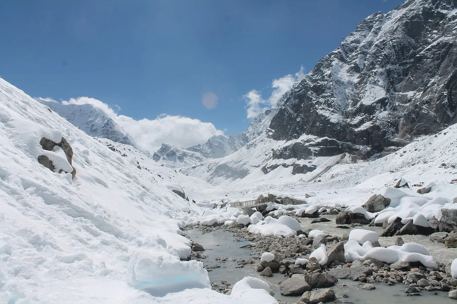
A network of high and mid-hill routes about 1,700 km long that crosses Nepal from Kanchenjunga in the east to Humla and the far west, usually walked in sections, or as a through-trek of about four to five months.
A week-long walk in remote Karnali from Jumla through the Sinja valley to Rara Lake, Nepal's largest lake, at about 2,990 m in Rara National Park, usually ending with a flight from Talcha.
Fly to Nepalgunj, take a small plane to Talcha airport in Mugu and walk 1-2 hours to the lake; overland options via Jumla take about 2 days.
About 10.6-10.8 square km, around 5 km long and up to about 167 m deep, the largest lake in Nepal.
Yes, a Rara National Park entry permit is needed. The lake is not a restricted area.
September to November and April to May. Winter is very cold and the monsoon disrupts flights and roads.
Most visitors fly Kathmandu to Nepalgunj, then Nepalgunj to Talcha, and walk 2 to 3 hours to the lake. The road route via Surkhet and Jumla takes two days or more.
Yes, but only a few simple lodges near the lake, and camping. Facilities are basic and it is wise to book in advance in October.
Valley or region
A remote trans-Himalayan region of Bon and Buddhist villages, high passes and turquoise Phoksundo Lake, behind the Dhaulagiri and Kanjiroba ranges.
National park or conservation area
Nepal's largest lowland national park, a quieter alternative to Chitwan with tigers, rhinos, wild elephants and the Karnali river.