Skip to content

Upper Mustangलोमान्थाङ

Lo Manthang

The walled former capital of the Kingdom of Lo, with a royal palace and monasteries from the 15th century.

Plan a trip here
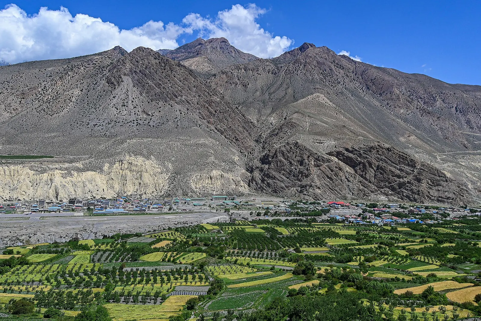
Green fields in front of Lo Manthang, with bare grey mountains rising behind the town.
Photo: Safalphotos (CC BY-SA 4.0)
Altitude
3,840 m*
Best months
Apr-Jun, Sep-Oct
Type
Town or village
District
Mustang, Gandaki
Permit
Restricted-area permit

Higher seasonal exposure: road blockages (Jun-Sep), other (Jun-Sep), cold (Dec-Feb).

Why go

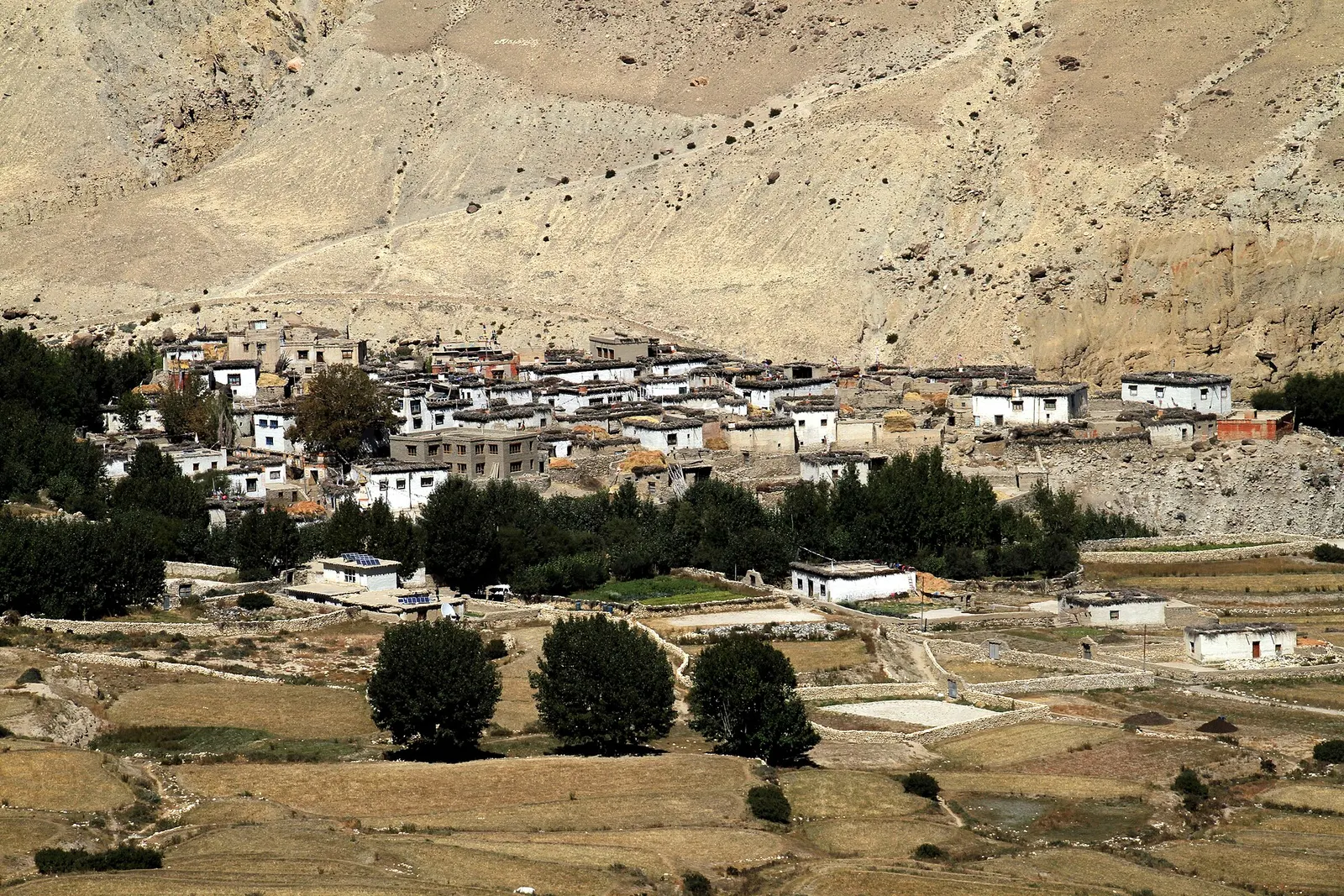
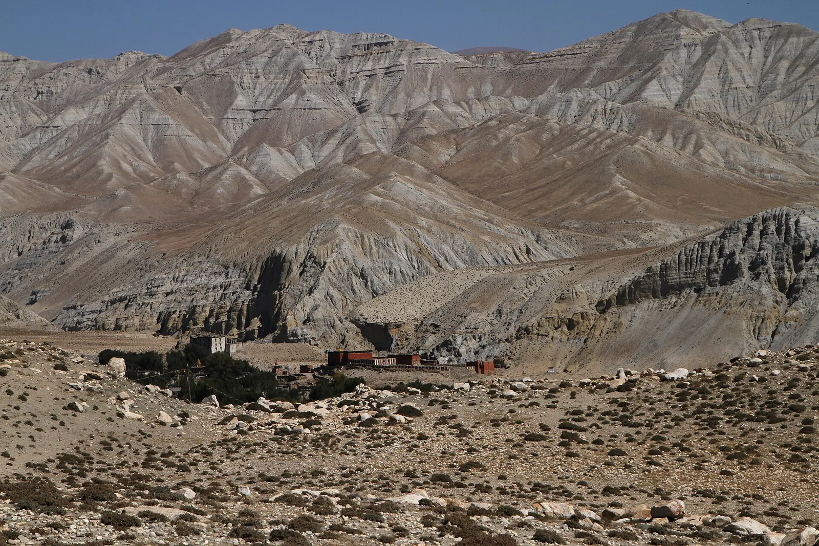
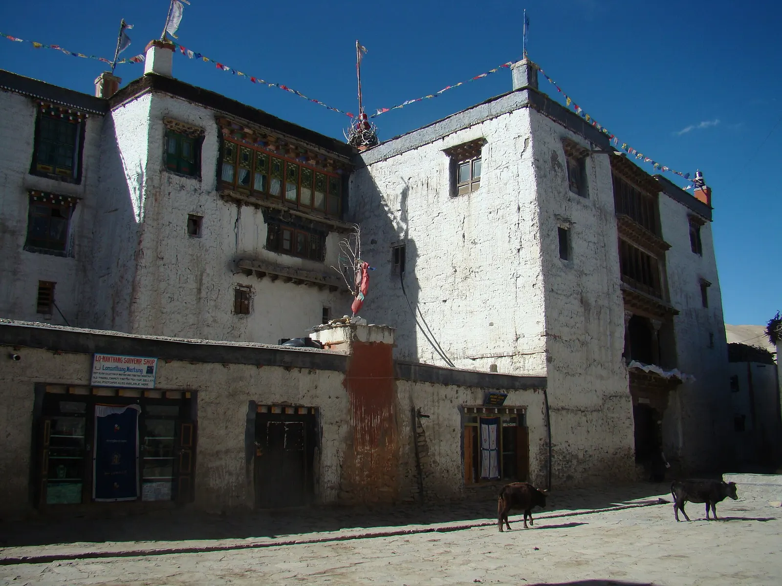
Lo Manthang is the old capital of Upper Mustang and the end point of most journeys into the restricted area. It sits on a broad, windy plain at about 3,840 m, ringed by bare hills and fed by streams that water barley fields and lines of willow and poplar. Inside a single mud-brick wall stand around 150 to 200 tightly packed houses, the four-storey royal palace and several large monasteries.

Most visitors spend two or three nights here. A full day is needed for the town itself: the monasteries, the palace from outside, and the narrow lanes where livestock is still brought inside the walls at night. A second day is usually spent on side trips by pony, jeep or on foot to the cave villages of Chhoser and Garphu to the north, or to Namgyal Gompa and Tingkhar.

From Kagbeni it takes about 4-5 days to walk up through Chhusang, Ghami and Charang, or one long day by jeep from Jomsom. Within Upper Mustang it is the cultural centre, and the only place with a choice of lodges and a small market.

History and culture

By tradition the town was founded in 1380 by Ame Pal, the first king of Lo, who built the wall and many of the buildings that still stand. Lo became a dependency of Nepal in the late 18th century but its kings, the Bista family, kept their title until 2008. The last king, Jigme Dorje Palbar Bista, died in 2016; the palace remains a family residence.

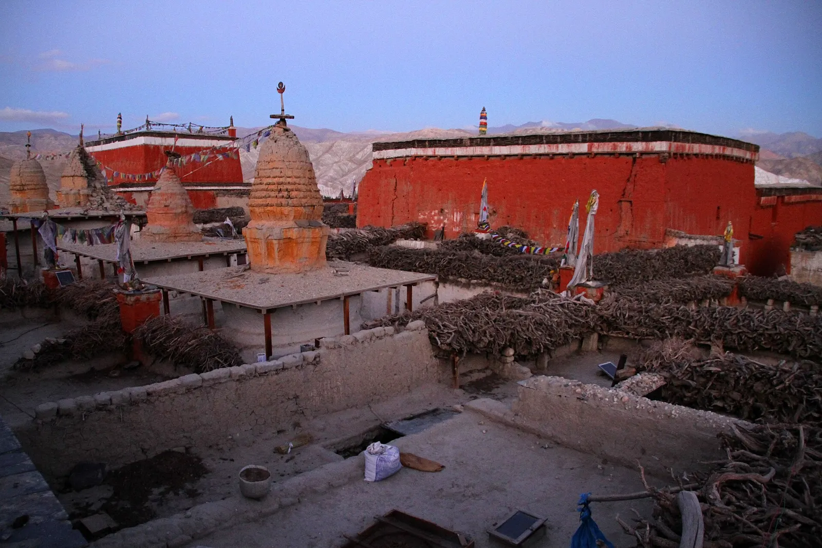
The monasteries are the main sights. Jampa Lhakhang, the oldest, dates from the early 15th century and is known for its mandala murals; Thubchen Gompa is a large red assembly hall from the later 15th century; Chodey Gompa is the main active monastery. Wall paintings in Jampa and Thubchen have been restored over many years with international support. The Tiji festival, three days of masked dances usually held in May, re-enacts the victory of a deity over a demon in Tibetan Buddhist tradition.

Things to do in Lo Manthang

  • Visit the monasteries

    Jampa, Thubchen and Chodey gompas are inside the walls; a ticket or donation may be asked, and photography is often not allowed inside.

  • Walk the lanes and wall

    Wander the alleys and walk around the outside of the wall at dusk, when herds return to the town.

  • Ride or drive to Chhoser

    A day trip north to the cliff caves of Chhoser, including the multi-storey Jhong cave, and Nyiphu gompa.

  • See Tiji

    If you are here around May, the three-day masked dance festival in the main square is the biggest event of the year.

Weather and the best time to visit Lo Manthang

Weather in Lo Manthang

Forecast for 3,840 m. Conditions change fast in the mountains.

Weather data: MET Norway, licensed CC BY 4.0. A forecast, not a guarantee.

Best time to visit

Apr-Jun, Sep-Oct

  1. Jan
  2. Feb
  3. Mar
  4. Good month: Apr
  5. Good month: May
  6. Good month: Jun
  7. Jul
  8. Aug
  9. Good month: Sep
  10. Good month: Oct
  11. Nov
  12. Dec
Autumn (Sep-Nov)
September and October are clear and calm; by November nights are well below freezing.
Winter (Dec-Feb)
December to February is bitterly cold, many families leave for lower areas and most lodges close.
Spring (Mar-May)
April and May are dry and sunny with strong afternoon winds; Tiji usually falls in May.
Monsoon (Jun-Aug)
June to August sees little rain this far north, but getting to Jomsom can be disrupted by landslides and cancelled flights.

Where to stay

LodgesGuesthousesTeahouses

Lo Manthang has the widest choice of lodges in Upper Mustang, mostly family-run, with simple rooms and dining rooms heated in the evening.

No partner stays are listed here yet. List a property.

Getting there

Reach Jomsom first, then walk north for 4-5 days via Kagbeni, Chhusang and Charang or take a jeep on the dirt road.

Nearest hub: Jomsom airport

  • trekKagbeni to Lo Manthang in about 4-5 days on foot, crossing several passes of roughly 3,800-4,300 m.
  • jeepJomsom to Lo Manthang by jeep, roughly 7-10 hours on a rough road; times vary with river crossings and road conditions.

Getting to Lo Manthang, by mode

Nearest hub: Jomsom. Times are typical ranges, not schedules, and vary with roadworks, weather and the season.

  • By airfrom Pokharaabout 0.3-0.6 hJomsomoften delayed or cancelled by weather

    Fly Pokhara to Jomsom in about 20 minutes, then 7-10 hours north by jeep. Morning flights only, and the strip is below visual-approach minimums roughly 15 per cent of the year.

    When to set off: Flights are scheduled in the early morning, when wind speeds in the gorge are lowest; keep a spare day in the plan.

    Jomsom Airport, Wikipedia

  • By car or jeepfrom Jomsomabout 7-10 h

    An unsealed jeep track runs north from Jomsom through the Kali Gandaki and over the ridges towards Lo Manthang; high-clearance vehicles are needed and river crossings and dust govern the pace. Because Upper Mustang lies in the rain shadow, the track itself stays usable through the monsoon, while the road up from Beni does not.

    Road: Unsealed jeep track with river crossings; a 4WD or jeep is normally needed.

    When to set off: Jeeps leave Jomsom in the morning for the run north.

    Upper Mustang, Wikipedia

  • By motorbikefrom Jomsomabout 7-11 hExperienced riders only

    The Upper Mustang track is unsealed, sandy and stony with river crossings, and a restricted-area permit is needed; experienced riders only.

    Road: Unsealed, sandy and stony jeep track with river crossings and strong afternoon winds.

    When to set off: Start early; afternoon wind and dust make the valley hard going.

    Upper Mustang, Wikipedia

  • On footfrom Charangabout 4-6 hAbout 4-6 hours from Charang over the Lo La, or 4-5 days in total from Kagbeni across passes of roughly 3,800-4,300 m.

    The last walking stage climbs over the Lo La for the first view of the walled town; most walkers take four to five days from Kagbeni.

    Upper Mustang, Wikipedia

Where people go next

  • Charangby car or jeep, about 1-2 hSouth to the last large village on the route.
  • Upper Mustangon footDay walks north to Chhoser and the cave villages, and to the Kora La on the border.
  • Jomsomby car or jeep, about 7-10 hBack down the jeep track to the airstrip for the Pokhara flight.
  • Kagbenion footFour to five days back down the route on foot.
Mount Everest 8,848.86Kangchenjunga 8,586Dhaulagiri I 8,167Manaslu 8,163Annapurna I 8,091Lo ManthangKathmandu
Boundary: Government of Nepal, Survey Department (2020). Peak data: Wikidata.

Permits and fees

Restricted-area permit

Lo Manthang lies in the Upper Mustang restricted area. Foreigners need the Upper Mustang restricted area permit through a registered agency and an Annapurna Conservation Area permit.

  • Upper Mustang restricted area permit: The Department of Immigration lists USD 50 per person per day for Upper Mustang, including Lomanthang Rural Municipality.
  • Annapurna Conservation Area entry permit: Required throughout Mustang district.
  • Monastery entry: Some monasteries ask for a ticket or donation; check locally.

Verify before travel: permit rules and fees change. Checked 2026-10-06 against Department of Immigration: Trekking route and permit fee.

On the trail

On the Upper Mustang Trek.

Previous stop:
Charang
Next stop:
Ghar Gompa or Dhakmar (return via the east or west route)
A typical day:
Charang to Lo Manthang is about 3-5 hours, climbing gently to the Lo La viewpoint (about 3,950 m) before dropping to the walled town.

Risks and conditions

Seasonal risks around Lo Manthang

What this place is typically exposed to, and when. These are seasonal patterns, not a report on conditions now.

  • Road blockageshigh in a typical yearJun-Sep

    The approach road below Jomsom is the weak link: the Beni-Tatopani-Ghasa gorge section is prone to landslide and flood blockages in the monsoon, while it is generally straightforward from about October to May.

    Jomsom, Wikivoyage

  • Otherhigh in a typical yearJun-Sep

    Monsoon cloud over Pokhara and the gorge frequently delays or cancels the Jomsom flight; the airstrip is below the minimum for visual approaches roughly 15 per cent of the year, so spare days matter.

    Jomsom Airport, Wikipedia

  • Coldhigh in a typical yearDec-Feb

    Winter temperatures in Upper Mustang fall to around -25 C or lower and many residents move to lower ground for the season, so Lo Manthang is cold and thinly served from December to February.

    Upper Mustang, Wikipedia

  • Altitudemoderate in a typical yearAll year

    Lo Manthang sits at about 3,840 m, well above the roughly 2,500 m at which altitude sickness becomes common, and most itineraries go higher still. General information, not medical advice: gain height slowly (a common guideline is no more than about 300 m a day in sleeping altitude once high), learn the symptoms, descend if they get worse, see a doctor before travelling, and carry insurance that covers helicopter evacuation.

    Altitude sickness, Wikipedia

  • Snowmoderate in a typical yearNov-Apr

    Snow can lie on the ridge passes of the Upper Mustang route between about 3,800 m and 4,200 m from late autumn into spring, slowing jeeps and walkers.

    Upper Mustang, Wikipedia

  • Othermoderate in a typical yearMar-Oct

    The Kali Gandaki valley is known for gusty up-valley winds that build from late morning; walking and riding are much easier before midday.

    Mustang (Nepal) / Annapurna region, Wikivoyage

  • Landslideslow in a typical yearJun-Sep

    Upper Mustang lies in the rain shadow of Annapurna and Dhaulagiri and gets only about 250-400 mm of precipitation a year, so local landslide exposure in the monsoon is low.

    Upper Mustang, Wikipedia

Check current conditions before you travel

Roads, trails, passes and flights change with the weather and with roadworks, and nothing on this page describes conditions today. Before you set off, check the Department of Hydrology and Meteorology for weather and flood warnings, the Nepal Disaster Risk Reduction Portal for incidents, and the local authority, police or your licensed operator for road, trail and flight status.

Practical tips

  • At about 3,840 m, altitude sickness is possible; arrive gradually and take rest days. This is general information, not medical advice.
  • There is no reliable ATM; bring enough cash from Jomsom or Pokhara.
  • Some lodges have Wi-Fi and there is mobile coverage in town, but expect outages.
  • Ask before photographing people and inside monasteries; dress modestly and walk clockwise around chortens.
  • Nights are cold in every season; bring a warm sleeping bag.

Treks through Lo Manthang

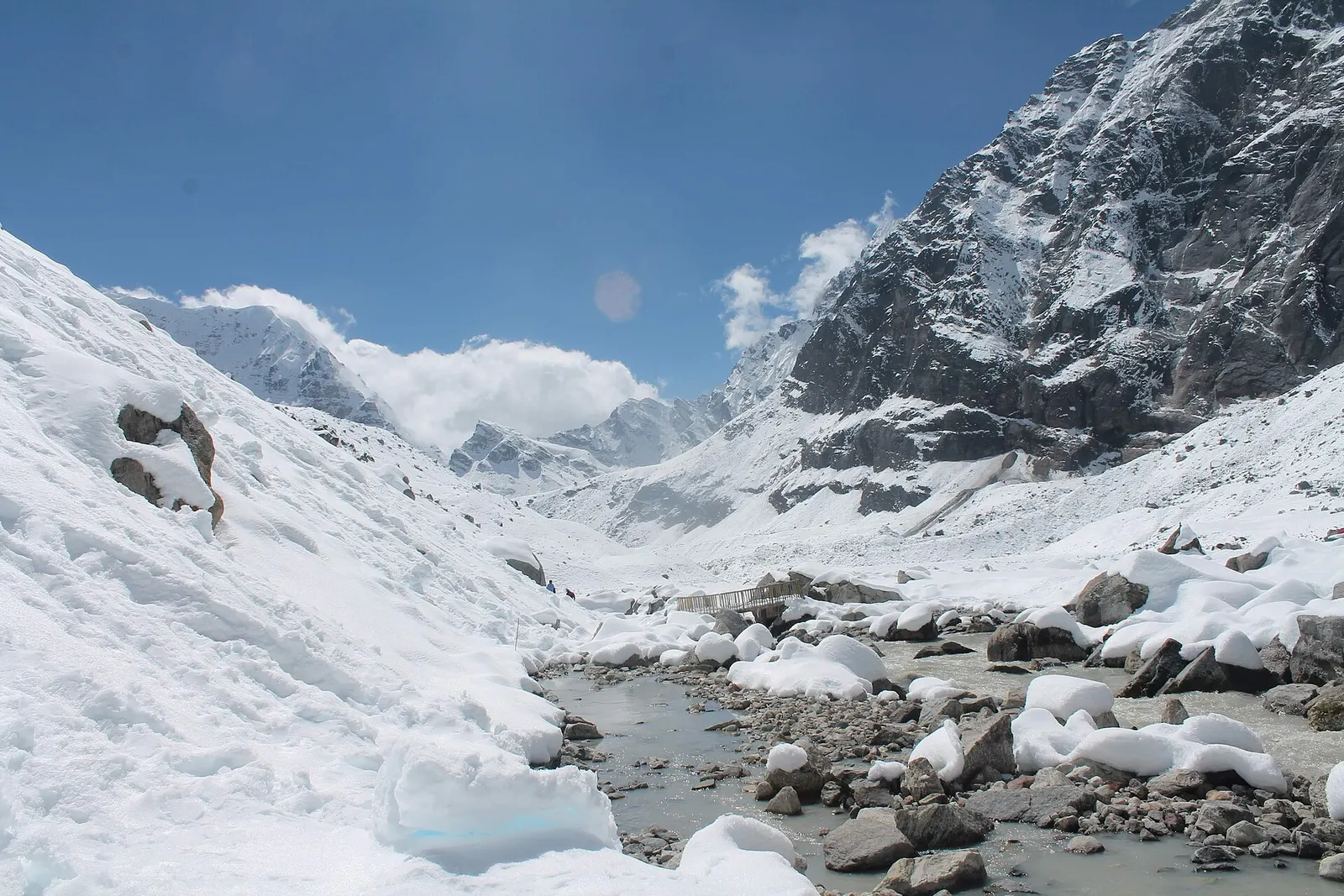
A snow-covered valley with a glacial stream and small footbridge at Makalu Base Camp, below steep rock walls.

A network of high and mid-hill routes about 1,700 km long that crosses Nepal from Kanchenjunga in the east to Humla and the far west, usually walked in sections, or as a through-trek of about four to five months.

Days
160 days
Maximum altitude
6,160 m
Difficulty
Challenging
Whitewashed flat-roofed houses of Ghami village in Upper Mustang, with trees and fields below an eroded tan cliff.

A restricted-area trek north from Kagbeni through the eroded canyons of the former Kingdom of Lo to the walled town of Lo Manthang, returning via Lo Gekar and Dhakmar.

Days
12 days
Maximum altitude
4,325 m
Difficulty
Moderate

Questions about Lo Manthang

How do I get to Lo Manthang?

Fly or drive from Pokhara to Jomsom, then walk 4-5 days via Kagbeni, Chhusang and Charang, or take a jeep from Jomsom in roughly 7-10 hours. A restricted area permit is required.

How high is Lo Manthang?

About 3,800-3,840 m. Altitude sickness is possible, so a gradual ascent is advisable.

When is the Tiji festival in Lo Manthang?

Tiji is a three-day masked dance festival usually held in May, with dates set by the Tibetan calendar. Check the dates for the year you travel.

Can I visit Lo Manthang without a guide?

No. It is inside the Upper Mustang restricted area, and the permit is issued through a registered trekking agency. Check the current guide and group rules.

More in Upper Mustang

All of Upper Mustang
Charang village seen across a stony plain, below eroded grey hills in Upper Mustang.

Trek stop · 3,560 m

Charang

A large Upper Mustang village on the edge of a canyon, with an old fort-palace and a red Sakya monastery.

Houses and fields of Chhusang village below red and grey cliffs in Upper Mustang.

Trek stop · 2,980 m

Chhusang

A farming village of three hamlets beneath red cave-riddled cliffs, usually the first night inside Upper Mustang.

A lane in Ghami running beside a long mani wall of stacked prayer stones and a whitewashed house with prayer flags.

Trek stop · 3,520 m

Ghami

A large whitewashed village in Upper Mustang, below eroded cliffs and next to a long mani wall of carved prayer stones.

Trek stop · 3,660 m

Samar

A small village in poplar groves above the Kali Gandaki, on the climb from Chele towards Ghami in Upper Mustang.

Nearby

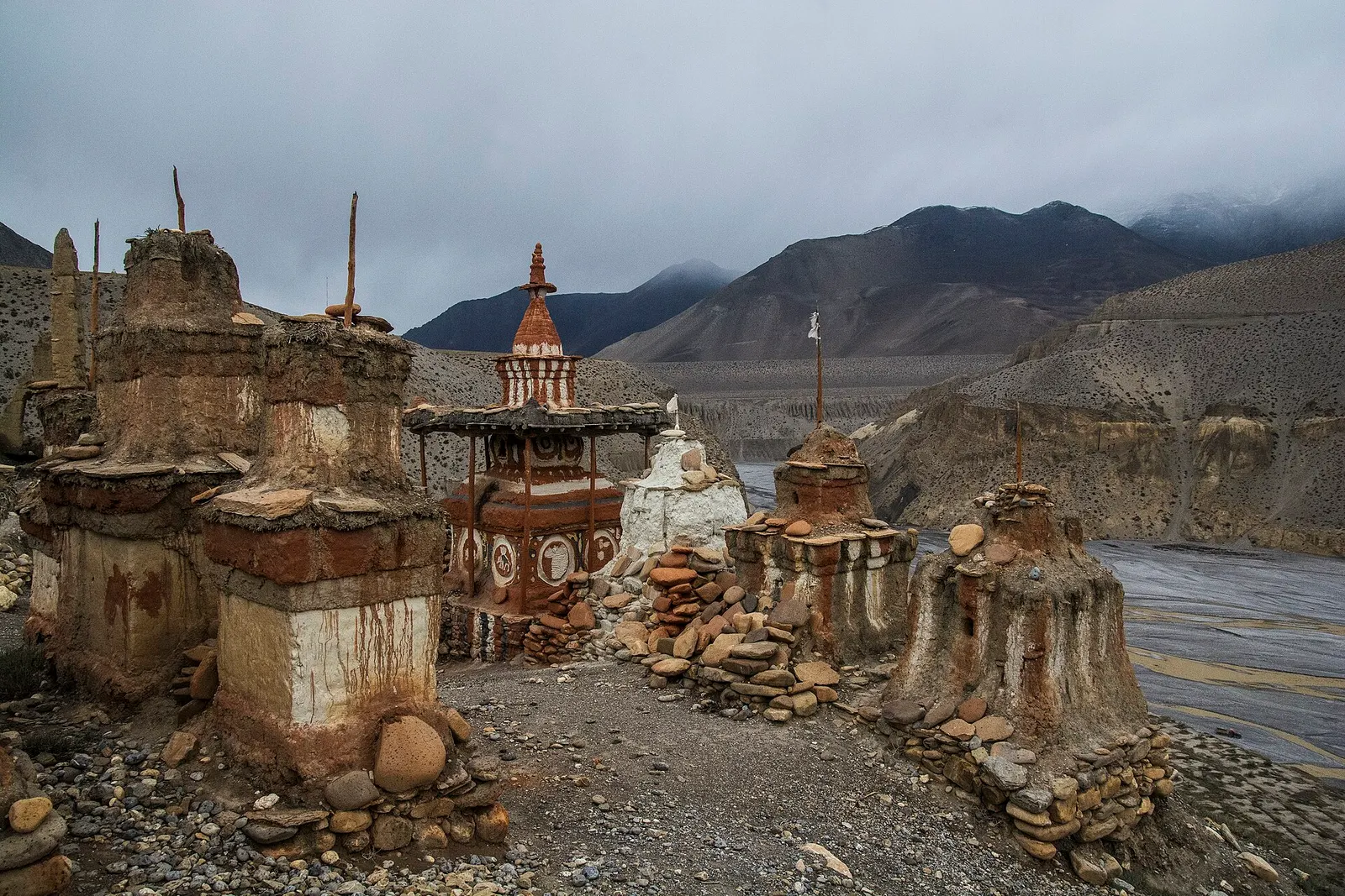
Weathered old chortens beside the wide Kali Gandaki riverbed under cloud in Upper Mustang.

Valley or region

Upper Mustang

The old Kingdom of Lo: a dry, wind-carved valley of cave cliffs, red monasteries and walled villages north of Kagbeni.

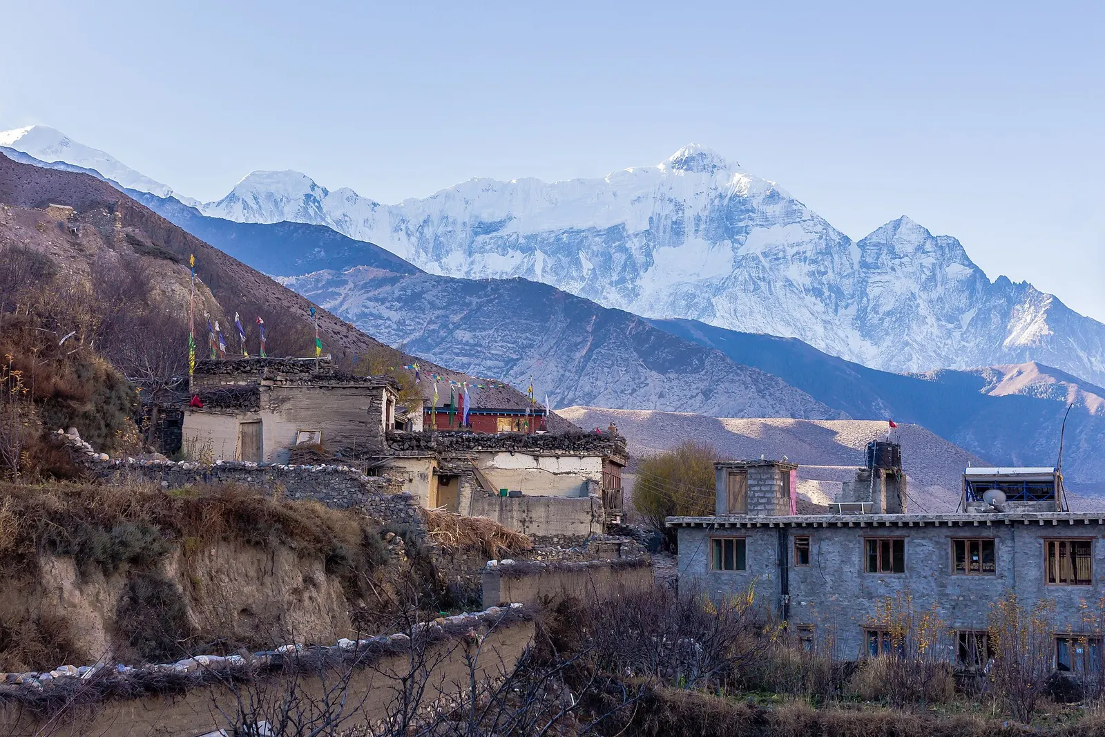
Mud-brick buildings of Kagbeni with snow-covered peaks behind.

Town or village · 2,804 m

Kagbeni

A medieval mud-brick village at the confluence of two rivers, the gateway between Lower and Upper Mustang.

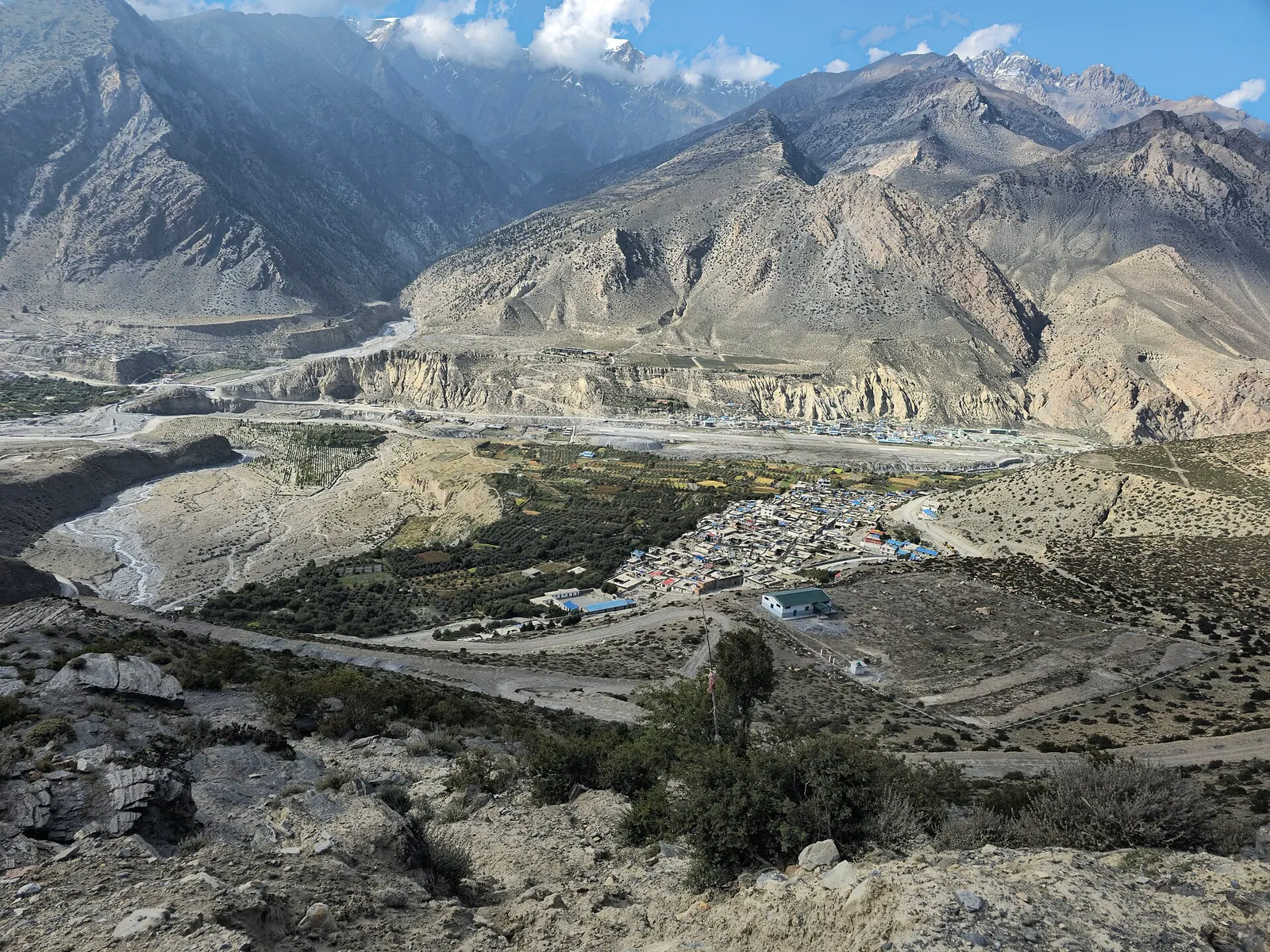
Jomsom town spread along the Kali Gandaki, seen from a viewpoint above.

Town or village · 2,743 m

Jomsom

Mustang's headquarters and airstrip town on the Kali Gandaki, under the walls of Nilgiri and Dhaulagiri.

Editorial draft: facts are being checked against the sources below. Last checked 2026-10-06. Sources: Lomanthang Rural Municipality, Wikipedia, Upper Mustang, Wikipedia, Mustang District, Wikipedia, Department of Immigration: Trekking route and permit fee