

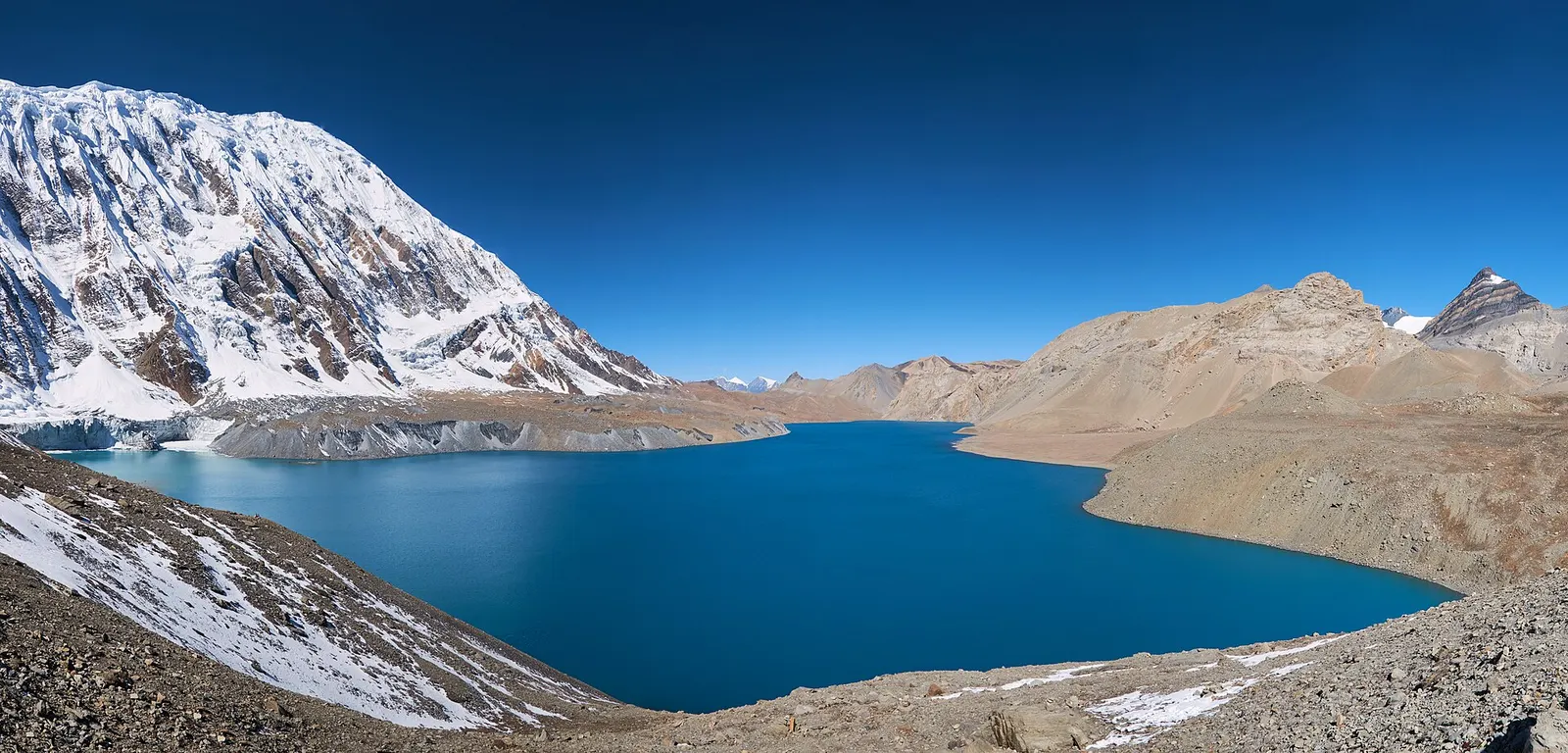
A teahouse journey around the Annapurna massif, from the green Marsyangdi valley through Manang and over the Thorong La (5,416 m) to Muktinath and the dry Kali Gandaki valley.
- Days
- 11 days
- Maximum altitude
- 5,416 m
- Difficulty
- Strenuous
Higher seasonal exposure: landslides (Jun-Sep), other (Jun-Sep).
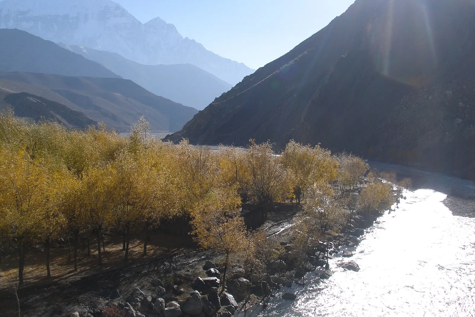
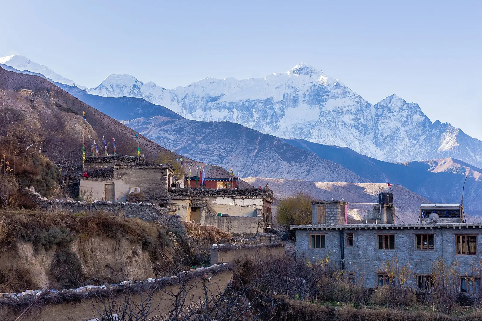
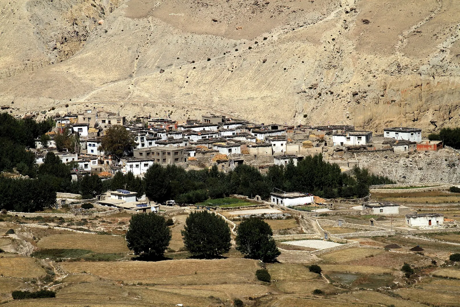
Kagbeni stands where the Jhong Khola, flowing down from Muktinath, meets the Kali Gandaki, about 8-12 km north of Jomsom. It is a green oasis of barley and wheat fields in a bare valley, with a dense core of mud-brick houses, narrow tunnels and alleys, prayer wheels and chortens. Above it all rises a large red monastery and the ruins of an old fortified palace.
Kagbeni is the frontier of the open part of Mustang. A checkpoint at the north end of the village marks the start of the Upper Mustang restricted area, and only those with the special permit may continue upriver. For everyone else, it is an overnight stop between Jomsom and Muktinath, and the best place in Lower Mustang to see a village that feels like Upper Mustang.
The confluence below the village is a sacred site for Hindus, who come to perform rituals for their ancestors (shraddha) before or after visiting Muktinath. Within the Mustang destination, Kagbeni connects the Thakali villages to the south, the pilgrimage valley of Muktinath to the east and the old Kingdom of Lo to the north.
The story
'Beni' means confluence, and Hindu pilgrims come to the riverbank here to perform shraddha rites for their ancestors. The Kali Gandaki carries shaligram, black fossil stones revered as forms of Vishnu.
Kagbeni is often described as one of the oldest settlements in the Kali Gandaki valley; 'kag' is commonly explained as meaning a blockade or checkpoint, reflecting its old role controlling trade along the river. It belongs to the Baragaun (Twelve Villages) area, whose people are Tibetan-speaking Buddhists, and today is the administrative centre of Baragung Muktichhetra Rural Municipality.
The Kag Chode monastery, a red-walled gompa of the Sakya tradition, is the main religious building. At the edges of the village stand clay guardian figures, a male and a female, placed by tradition to protect the village from harmful spirits; they are part of local belief, so treat them with respect.
Kag Chode monastery visitBookable locally
Pay the entry at the monastery door. Morning prayers are open to quiet visitors.
indicative, about NPR 300
Upper Mustang viewpointFree
Walk to the checkpoint at the north edge of the village to look up the valley into Upper Mustang.
Visit Kag Chode Gompa
See the assembly hall and statues and climb to the roof for a view over the village and river; a small fee or donation may be asked.
Walk the old core
Explore the covered passages and prayer-wheel alleys, ideally in the morning before the wind rises.
Go down to the confluence
Walk to the meeting of the rivers, where pilgrims make offerings and you may find shaligram fossils in the gravel.
Continue to Muktinath
Walk up the Jhong Khola valley via Khingar and Jharkot to Muktinath, about 4-5 hours.
Forecast for 2,804 m. Conditions change fast in the mountains.
Weather data: MET Norway, licensed CC BY 4.0. A forecast, not a guarantee.
Mar-May, Sep-Nov
Lodges in the village.
A good range of lodges, several in old courtyard houses near the monastery.
No partner stays are listed here yet. List a property.
Buckwheat roti, sea-buckthorn juice and yak curry in the village lodges.
Kagbeni is about 8-12 km north of Jomsom, a 3-hour walk or a short jeep ride along the Kali Gandaki.
Nearest hub: Jomsom airport
Nearest hub: Jomsom. Times are typical ranges, not schedules, and vary with roadworks, weather and the season.
By airfrom Pokharaabout 0.3-0.6 hJomsomoften delayed or cancelled by weather
Fly Pokhara to Jomsom in about 20 minutes, then take a jeep or walk the 8-12 km north to Kagbeni. Flights are early-morning only because the gorge wind builds during the day.
When to set off: Flights are scheduled in the early morning, when wind speeds in the gorge are lowest; keep a spare day in the plan.
By busfrom Jomsomabout 0.5-1 hLocal buses
Short local service north along the Kali Gandaki; in the monsoon the long leg from Pokhara up to Jomsom is the uncertain part, not this stage.
When to set off: Local buses and shared jeeps run through the morning from Jomsom.
By car or jeepfrom Jomsomabout 0.5-1 h
A short jeep run north from Jomsom on the riverbed road; the Upper Mustang checkpoint is at the north end of the village.
Road: Unsealed riverbed road; a jeep is normal, and river levels govern the line taken.
By motorbikefrom Jomsomabout 0.5-1 hModerate riding
Short and manageable on a trail bike, but the surface is loose riverbed gravel and the wind is strong by afternoon.
Road: Loose gravel and sand on the riverbed road, with strong afternoon headwinds.
When to set off: Ride in the morning, before the valley wind builds.
On footfrom Jomsomabout 2.5-4 hAbout 3 hours north along the Kali Gandaki riverbed, roughly 8-12 km with very little height gain.
The classic approach, walking up the broad braided riverbed from Jomsom; start early because of the wind.
Permit required
Kagbeni is in the Annapurna Conservation Area, so an ACAP entry permit is needed. Going north of the village into Upper Mustang requires a separate restricted area permit.
Verify before travel: permit rules and fees change. Checked 2026-10-06 against Department of Immigration: Trekking route and permit fee.
On the Annapurna Circuit, Upper Mustang Trek, Jomsom Muktinath Trek.
What this place is typically exposed to, and when. These are seasonal patterns, not a report on conditions now.
Landslideshigh in a typical yearJun-Sep
Kagbeni is dry in the monsoon, but the road in from Beni through the Kali Gandaki gorge is prone to landslides and flooding from June to September.
Otherhigh in a typical yearJun-Sep
Monsoon cloud often grounds the Jomsom flight, the usual way in; the strip is below visual-approach minimums roughly 15 per cent of the year.
Othermoderate in a typical yearMar-Oct
The walk up the riverbed from Jomsom is best done in the morning: the Kali Gandaki wind is gusty and strengthens after midday.
Coldmoderate in a typical yearDec-Feb
December to February is cold and windy at about 2,800 m with occasional snow, and only some lodges stay open.
Check current conditions before you travel
Roads, trails, passes and flights change with the weather and with roadworks, and nothing on this page describes conditions today. Before you set off, check the Department of Hydrology and Meteorology for weather and flood warnings, the Nepal Disaster Risk Reduction Portal for incidents, and the local authority, police or your licensed operator for road, trail and flight status.
Safety
Strong winds blow up the valley from late morning. Do not go beyond the checkpoint without the Upper Mustang permit.A teahouse journey around the Annapurna massif, from the green Marsyangdi valley through Manang and over the Thorong La (5,416 m) to Muktinath and the dry Kali Gandaki valley.
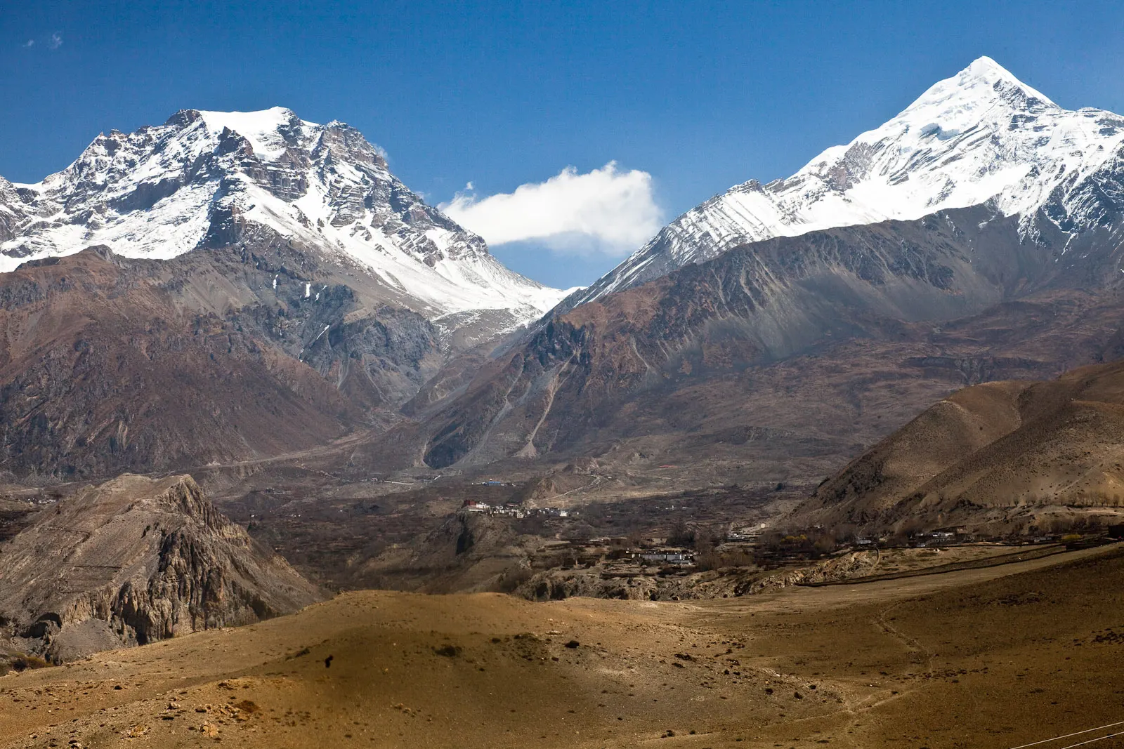
A short trek in Lower Mustang from Jomsom via Kagbeni to the Muktinath temple (about 3,760 m) and back through Marpha, with flights from and to Pokhara.
A restricted-area trek north from Kagbeni through the eroded canyons of the former Kingdom of Lo to the walled town of Lo Manthang, returning via Lo Gekar and Dhakmar.
Walk about 3 hours up the Kali Gandaki riverbed or take a jeep or bus for 30-60 minutes.
No, only an Annapurna Conservation Area permit. The restricted area permit is needed only to go north of Kagbeni into Upper Mustang.
It is the gateway village. The restricted area begins at the checkpoint on its northern edge.
The confluence of the Kali Gandaki and the Jhong Khola is considered sacred, and many pilgrims perform rites for their ancestors here on the way to or from Muktinath.
Only with a Restricted Area Permit arranged through a registered agency and a licensed guide. Without it, the checkpoint north of Kagbeni is the limit.
Yes, especially in the evening and early morning when day visitors have gone.
Town or village · 2,743 m
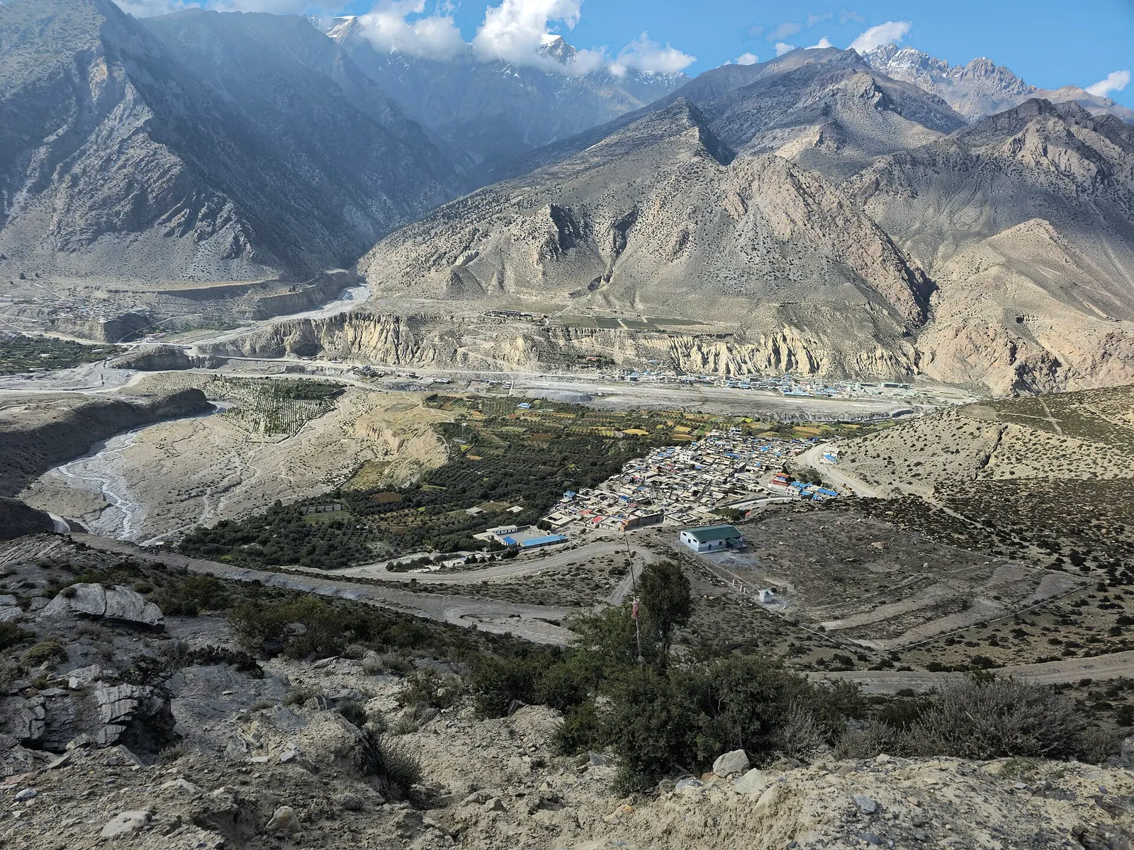
Mustang's headquarters and airstrip town on the Kali Gandaki, under the walls of Nilgiri and Dhaulagiri.
Town or village · 2,670 m
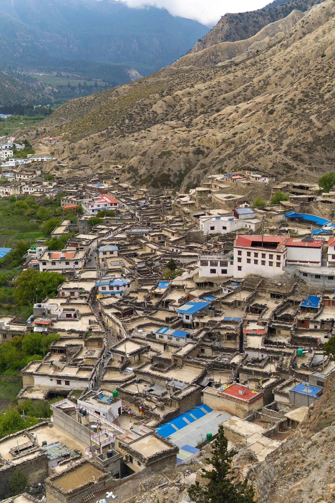
A Thakali village of whitewashed stone houses, flagstone lanes and apple orchards in the Kali Gandaki valley.
Valley or region
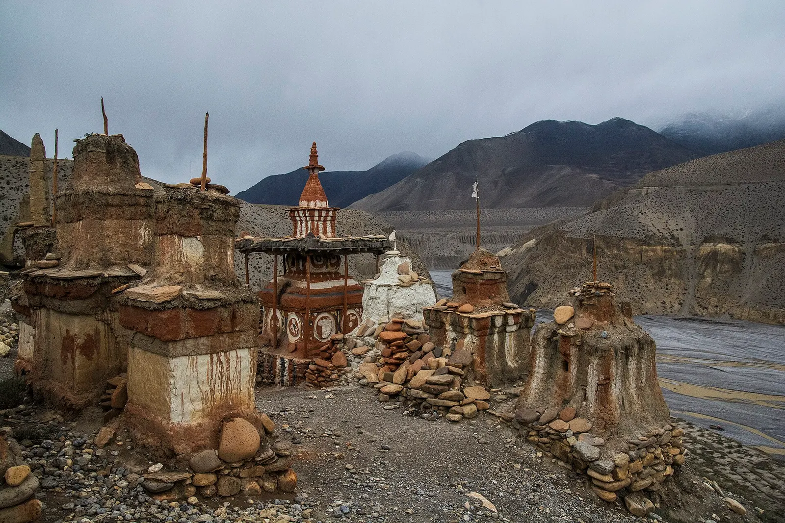
The old Kingdom of Lo: a dry, wind-carved valley of cave cliffs, red monasteries and walled villages north of Kagbeni.
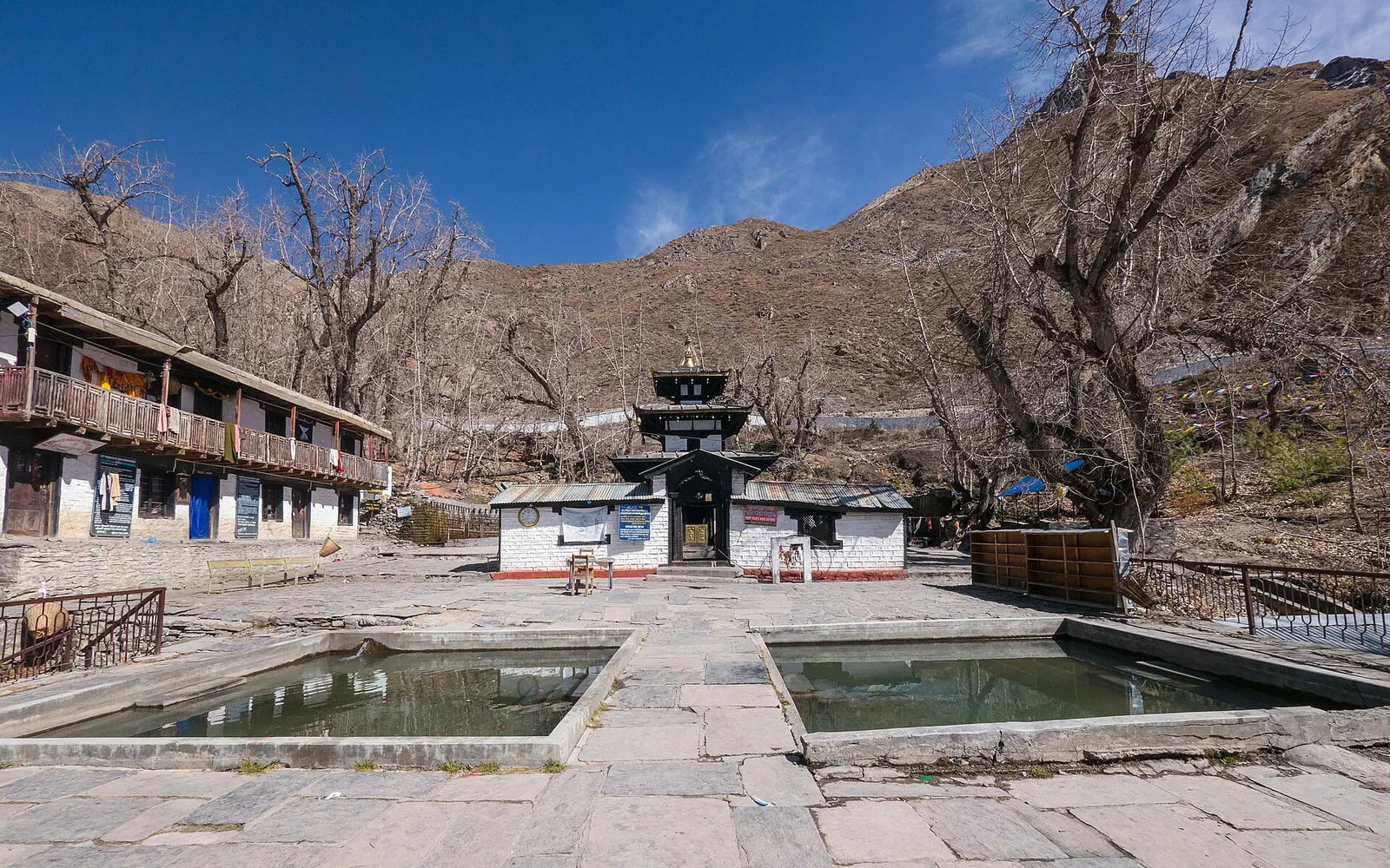
Temple, monastery or heritage site · 3,762 m
A high temple complex below the Thorong La, sacred to Hindus as Mukti Kshetra and to Buddhists as Chumig Gyatsa.
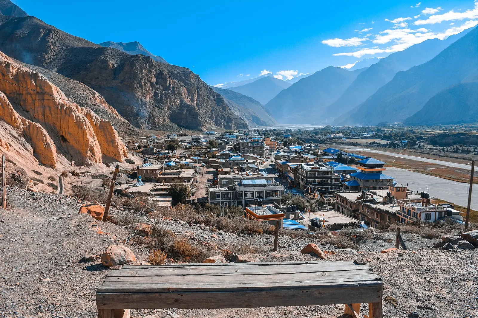
Valley or region
A trans-Himalayan district along the Kali Gandaki, from Thakali villages and apple orchards to the walled towns of the old Kingdom of Lo.