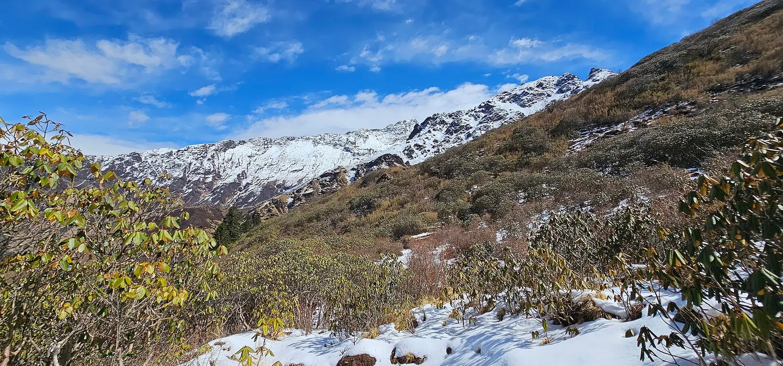
A quieter loop west of the Annapurna Sanctuary from Ghandruk via Tadapani, Dobato and Khopra Ridge (about 3,660 m) to Swanta, Ghorepani and Poon Hill, with an optional hike to Khayer Lake.
- Days
- 7 days
- Maximum altitude
- 3,660 m
- Difficulty
- Moderate
Annapurna Regionस्वाँता
A Magar farming village below Ghorepani on the Khopra Danda trek, with homestays and simple lodges.
Swanta is a farming village at about 2,200 m on the slopes north-west of Ghorepani, above the Kali Gandaki side of the hills. It is the first overnight stop after Ghorepani on the Khopra Danda trek, before the climb to Chistibang and Khopra Ridge.
Few trekkers came this way before the Khopra route opened, and the village still feels agricultural, with terraced fields, buffalo sheds and orchards. Dhaulagiri can be seen to the west on clear days.
Swanta is a Magar village in Myagdi district, one of several in this area connected to the community trekking initiative around Nangi and Khopra. Families farm maize, millet and potatoes and keep livestock that graze the high pastures in summer. Many local men have served in the Gurkha regiments or work abroad.
Village walk
Walk through the terraced fields and lanes in the afternoon light.
Early start for Khopra
The next stage climbs steadily to Chistibang (Dhan Kharka) at about 3,000 m.
Forecast for 2,214 m. Conditions change fast in the mountains.
Weather data: MET Norway, licensed CC BY 4.0. A forecast, not a guarantee.
Mar-Apr, Oct-Nov
A few simple lodges and homestays.
No partner stays are listed here yet. List a property.
Swanta is reached on foot from Ghorepani.
Nearest hub: Pokhara
Permit required
Swanta is inside the Annapurna Conservation Area; an ACAP permit is required.
Verify before travel: permit rules and fees change. Checked 2026-10-06 against National Trust for Nature Conservation (Annapurna Conservation Area Project, e-permit links).
On the Khopra Danda trek.
A quieter loop west of the Annapurna Sanctuary from Ghandruk via Tadapani, Dobato and Khopra Ridge (about 3,660 m) to Swanta, Ghorepani and Poon Hill, with an optional hike to Khayer Lake.
In Myagdi district, about 4-5 hours' walk below Ghorepani on the route to Khopra Ridge.
About 2,200 m; sources range from 2,200 m to 2,270 m.
Yes, an ACAP permit; check the current TIMS and guide rules.
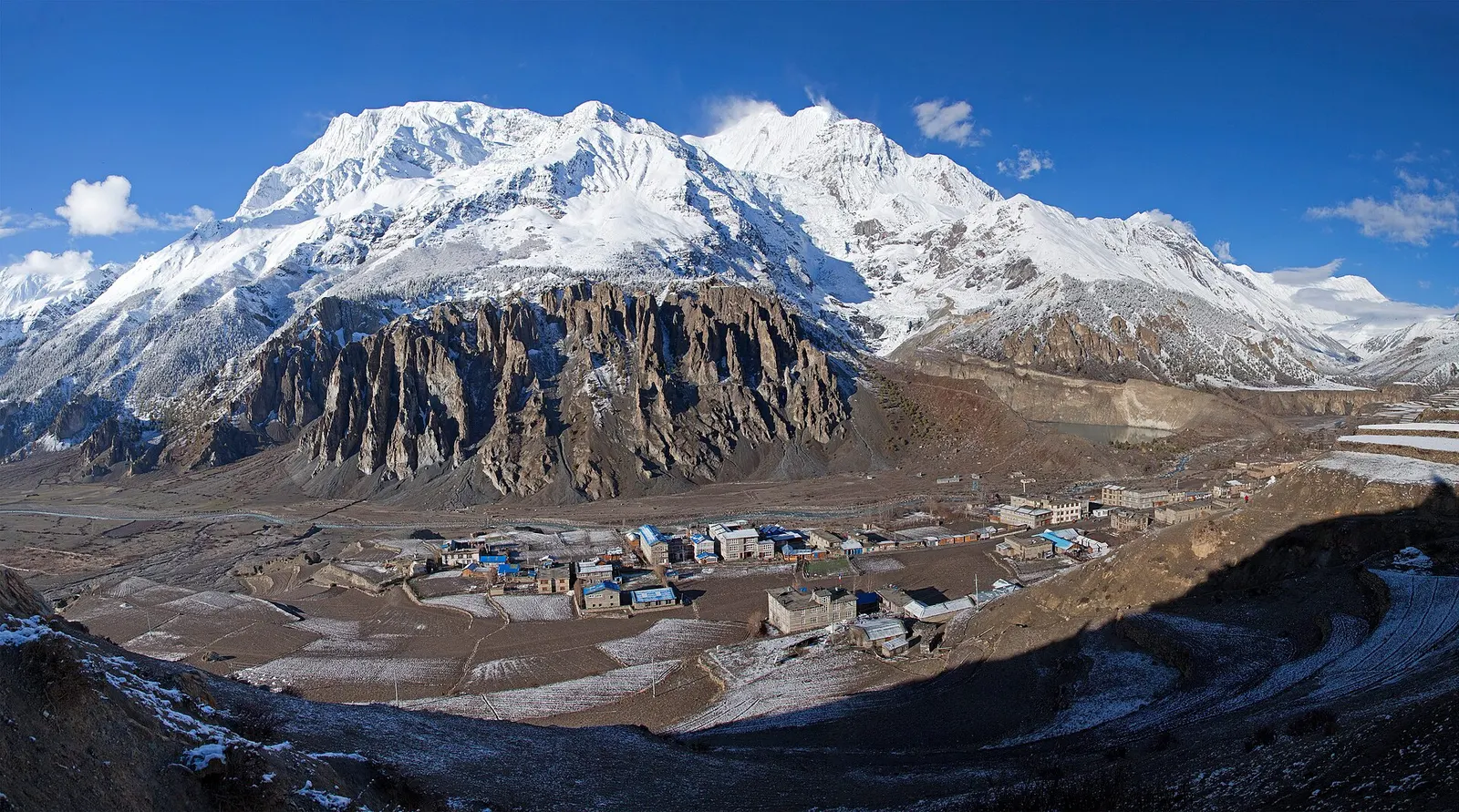
Town or village · 3,519 m
A high stone village in the upper Marsyangdi valley below Annapurna III and Gangapurna, where Circuit trekkers stop to acclimatise.
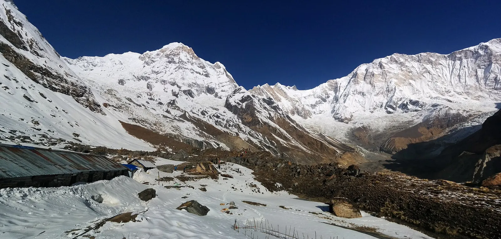
Trek stop · 4,130 m
Lodges at about 4,130 m in the glacial basin of the Annapurna Sanctuary, below the south face of Annapurna I.
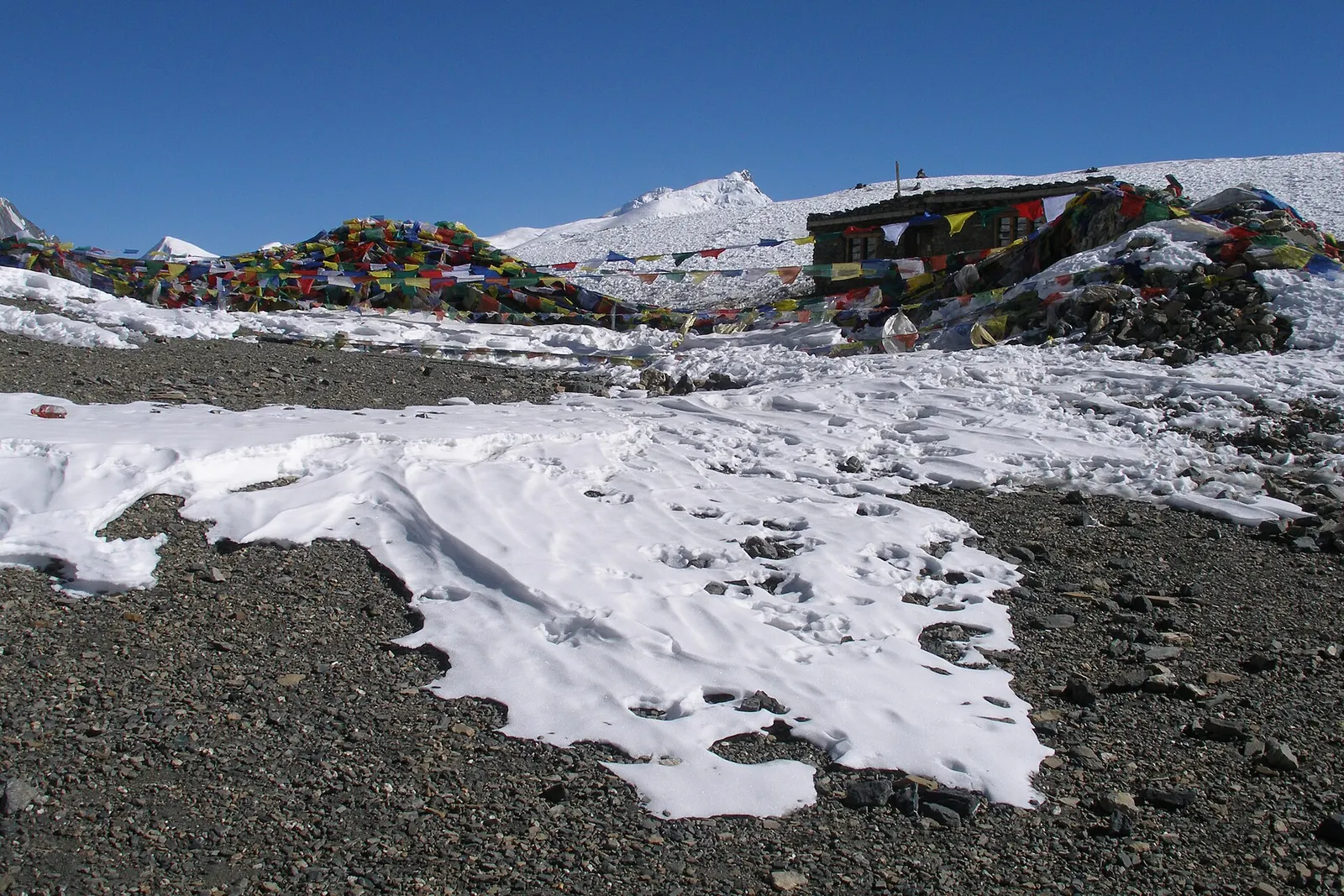
Mountain pass · 5,416 m
The 5,416 m pass between Manang and Muktinath, the high point of the Annapurna Circuit.
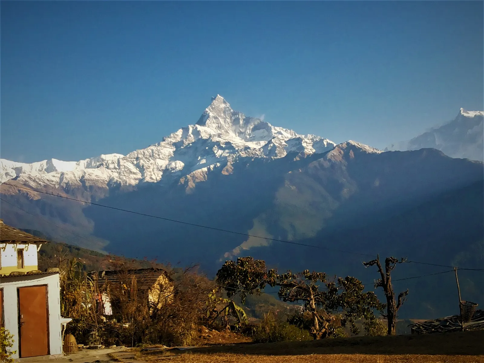
Trek stop · 2,060 m
A grassy clearing at about 2,060 m above Kande with a wide view of the Annapurna range and Machhapuchhre, an easy walk from the road.
Trek stop · 2,310 m
A group of lodges in the bamboo forest of the Modi Khola gorge, the first overnight stop above Chhomrong on the way to Annapurna Base Camp.
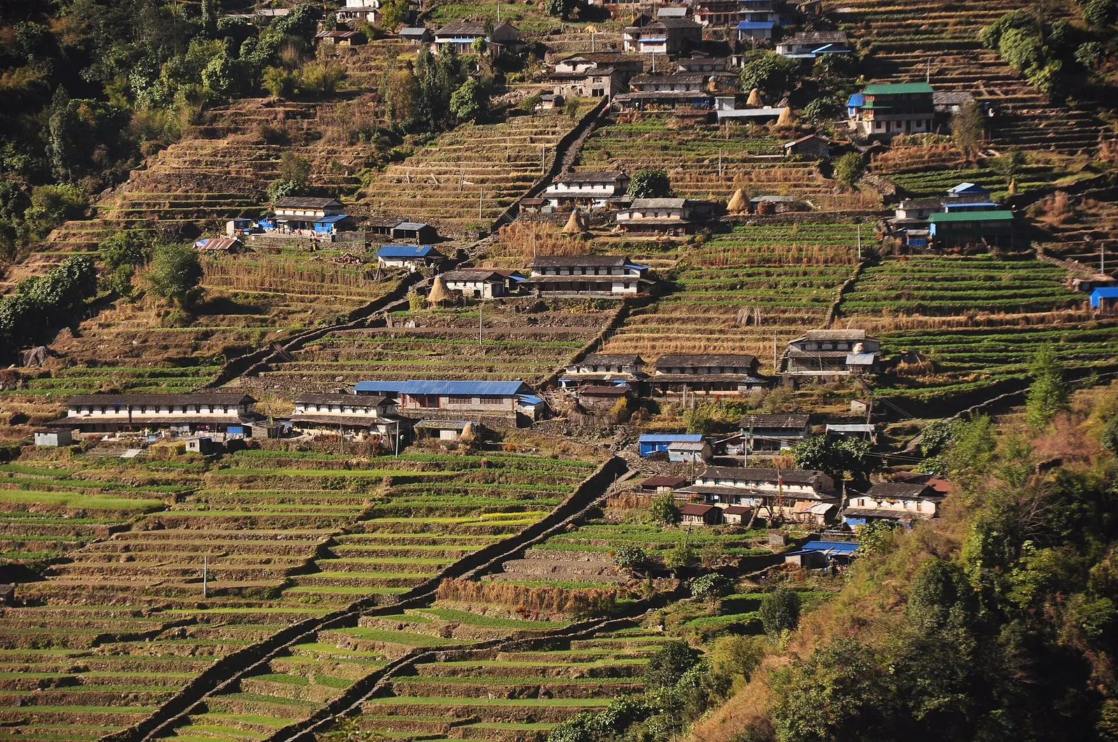
Trek stop · 2,170 m
The last permanent Gurung village before the Annapurna Sanctuary, built on a steep staircase facing Annapurna South and Machhapuchhre.
Trek stop · 3,200 m
The last lodges in the Modi Khola gorge before Machhapuchhre Base Camp, at about 3,200 m.
Trek stop · 1,650 m
A Gurung hill village above Phedi with views of Machhapuchhre and the Annapurnas, close to Pokhara.
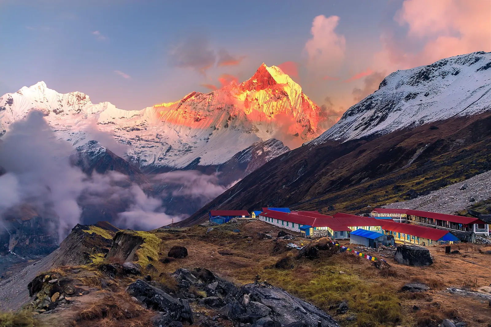
National park or conservation area
Nepal's largest protected area, from Gurung hill villages and rhododendron forest to the dry valleys behind the Annapurna range.