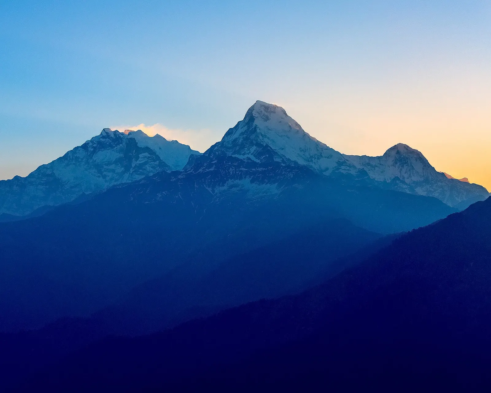
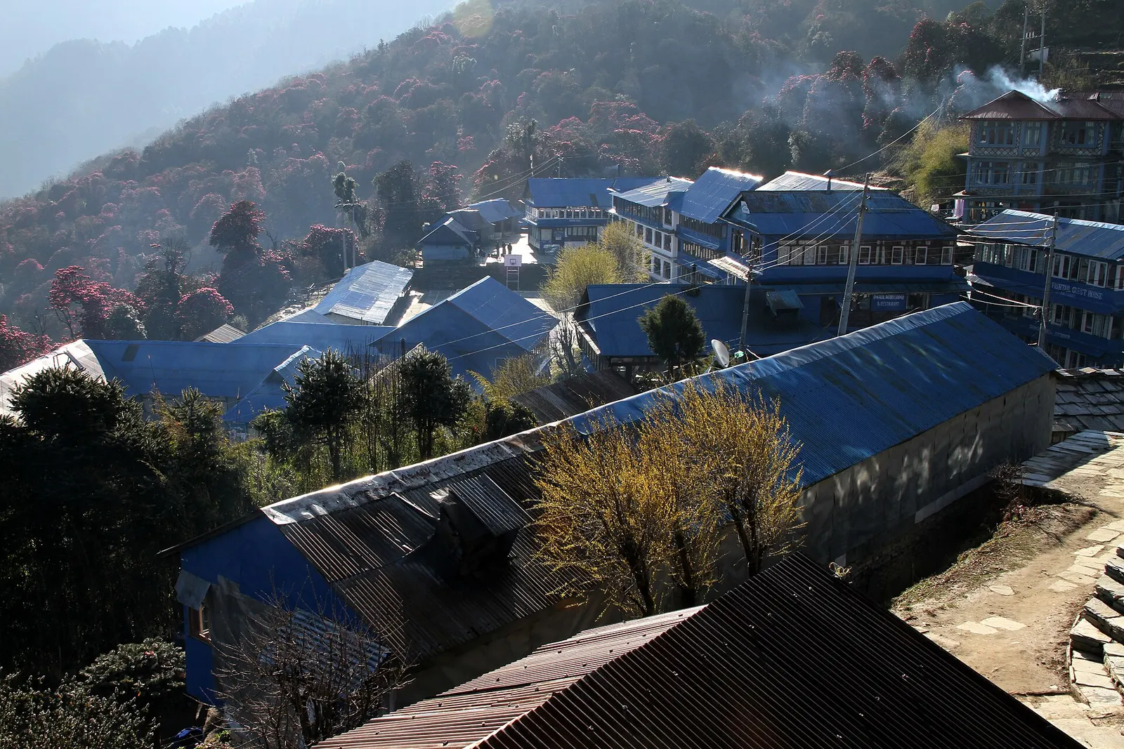


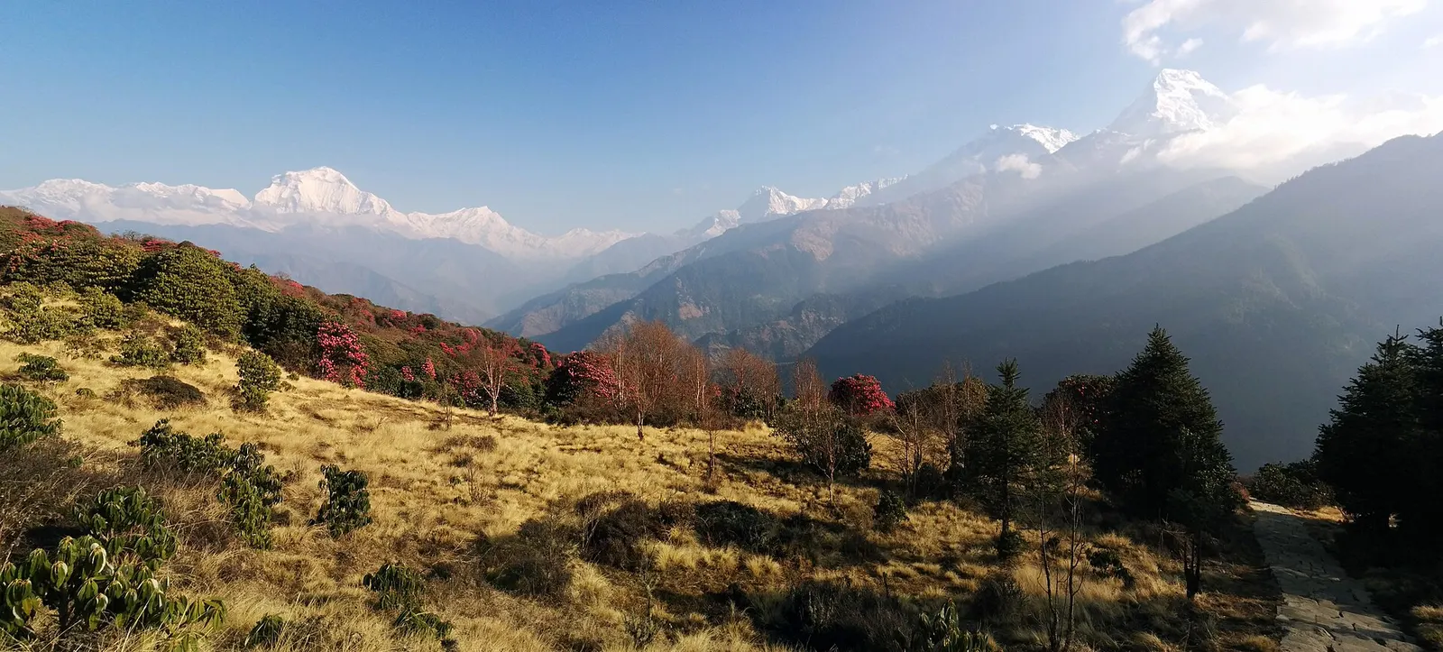
A short teahouse loop from Pokhara through Magar and Gurung villages and rhododendron forest to Ghorepani and the Poon Hill viewpoint (3,210 m), returning via Tadapani and Ghandruk.
- Days
- 4 days
- Maximum altitude
- 3,210 m
- Difficulty
- Easy
Annapurna Regionघोडेपानी
A ridge-top trekking village in rhododendron forest, and the base for the dawn climb to Poon Hill's view of Dhaulagiri and the Annapurnas.
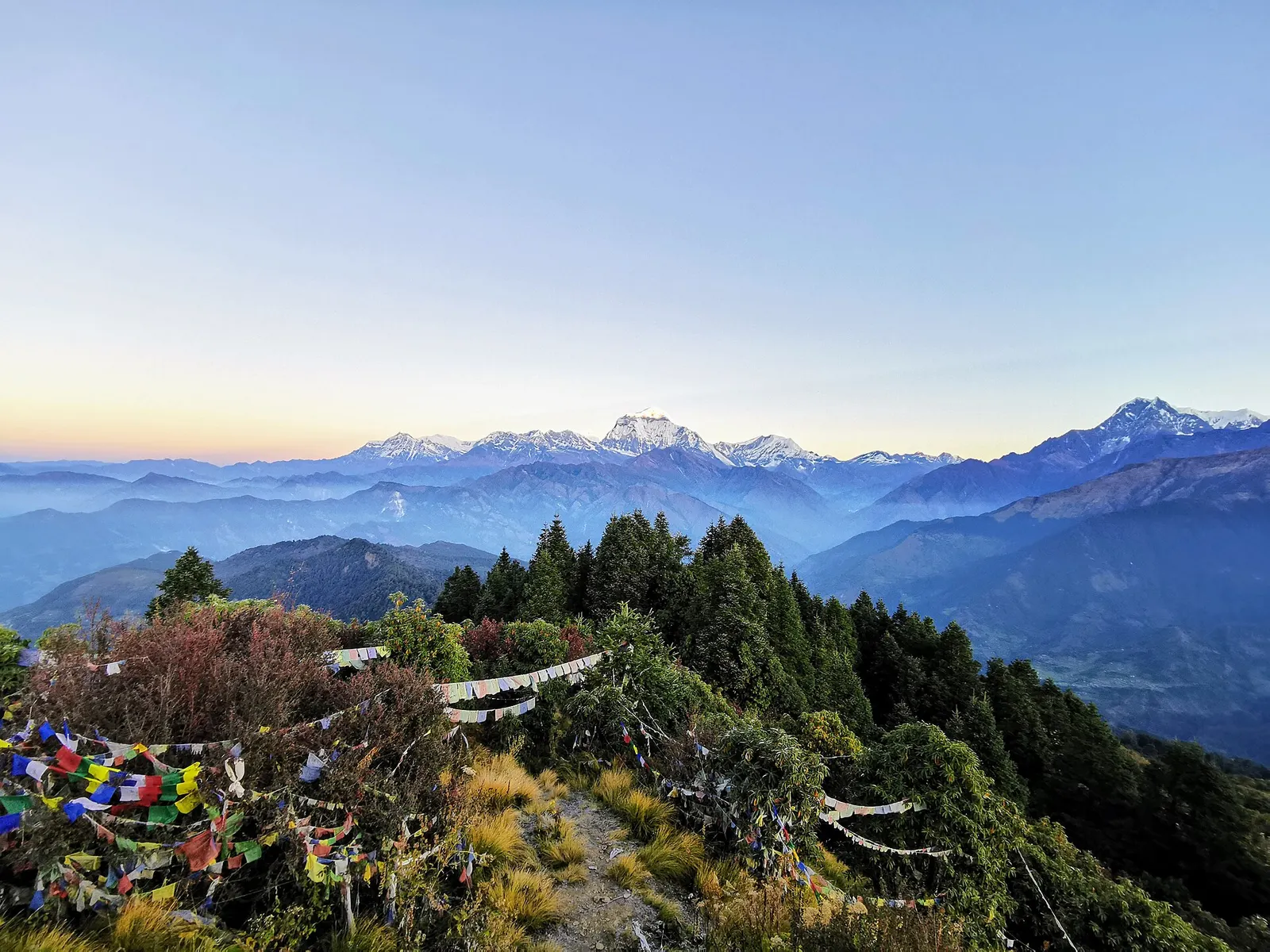
Ghorepani is a village on a forested pass at about 2,870 m on the border of Myagdi and Kaski districts, and the high point of the popular Ghorepani-Poon Hill trek in the Annapurna region. Almost every visitor comes for the same reason: to climb before dawn to Poon Hill, a viewpoint at 3,210 m about 45-60 minutes above the village, and watch the sun rise over a long line of peaks.
From Poon Hill the panorama runs from Dhaulagiri I and its satellite peaks in the west, across the deep Kali Gandaki gorge, to Annapurna I, Annapurna South, Hiunchuli and Machhapuchhre in the east. On clear autumn mornings hundreds of trekkers gather on the hilltop and its viewing tower.
The village itself is a cluster of lodges, shops and a small stupa on the ridge, surrounded by some of the largest rhododendron forests in Nepal, which turn red, pink and white in March and April. Ghorepani sits at the crossroads of several routes: up from Ulleri and Nayapul, east to Tadapani and Ghandruk, and north-west down to Tatopani in the Kali Gandaki valley. Most people visit on a 4-5 day loop from Pokhara, which is one of the shortest ways to see big Himalayan views on foot.
The name means 'horse water': the village grew up as a resting point on an old trading route where caravans watered their horses before crossing the ridge between the Kali Gandaki and the Modi Khola valleys. When roads replaced the old mule routes, the trade traffic disappeared and tourism became the main source of income.
The surrounding area is home mainly to Magar and Gurung communities, and Poon Hill is widely said to take its name from the Pun clan of the Magar people, who are numerous in the villages around Ghorepani. Local committees manage lodges and the viewpoint, and the village lies within the Annapurna Conservation Area.
Poon Hill sunrise
Leave the village about an hour before sunrise with a torch for the 45-60 minute climb of roughly 340 m on stone steps; a local entry charge is usually collected at the top.
Ghorepani to Tadapani
Follow the ridge past Deurali through rhododendron forest to Tadapani, around 5-6 hours, continuing to Ghandruk the next day.
Descend to Tatopani
Walk north-west via Chitre and Shikha down to the hot springs at Tatopani in the Kali Gandaki valley, roughly 6-8 hours.
Forecast for 2,874 m. Conditions change fast in the mountains.
Weather data: MET Norway, licensed CC BY 4.0. A forecast, not a guarantee.
Mar-Apr, Oct-Nov
Many trekking lodges in upper and lower Ghorepani; book ahead or arrive early in October, November and April.
No partner stays are listed here yet. List a property.
From Pokhara, drive towards Nayapul and on by jeep to Ulleri or Hile, then walk up through Banthanti to Ghorepani. Many trekkers return via Tadapani and Ghandruk.
Nearest hub: Pokhara
Permit required
Ghorepani and Poon Hill are inside the Annapurna Conservation Area, so an ACAP permit is required. A small local charge is usually collected at the Poon Hill viewpoint.
Verify before travel: permit rules and fees change. Checked 2026-10-06 against Annapurna Conservation Area Project, NTNC.
On the Ghorepani-Poon Hill trek, Annapurna Circuit (Tatopani exit), Khopra Ridge trek.
A short teahouse loop from Pokhara through Magar and Gurung villages and rhododendron forest to Ghorepani and the Poon Hill viewpoint (3,210 m), returning via Tadapani and Ghandruk.
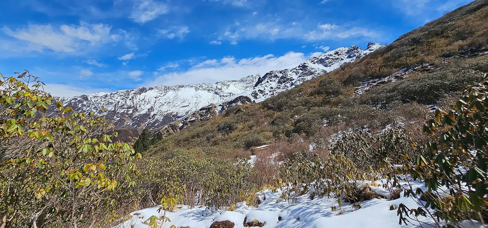
A quieter loop west of the Annapurna Sanctuary from Ghandruk via Tadapani, Dobato and Khopra Ridge (about 3,660 m) to Swanta, Ghorepani and Poon Hill, with an optional hike to Khayer Lake.
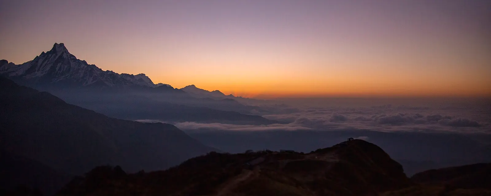
A four-day loop from Pokhara via Ghandruk, Tadapani and Dobato to the Muldai viewpoint (about 3,637 m) for sunrise, returning over Ghorepani and Poon Hill.
Drive to Nayapul and take a jeep to Ulleri, then walk 3-5 hours to Ghorepani; climb Poon Hill at dawn the next morning. Most loops take 3-5 days from Pokhara.
Poon Hill is 3,210 m, about 340 m above Ghorepani village, which sits at roughly 2,870 m.
Yes, an ACAP permit; check the current TIMS and guide rules. A small local charge is also collected at the viewpoint.
October to early December gives the clearest views; March and April bring rhododendron blooms but hazier skies.
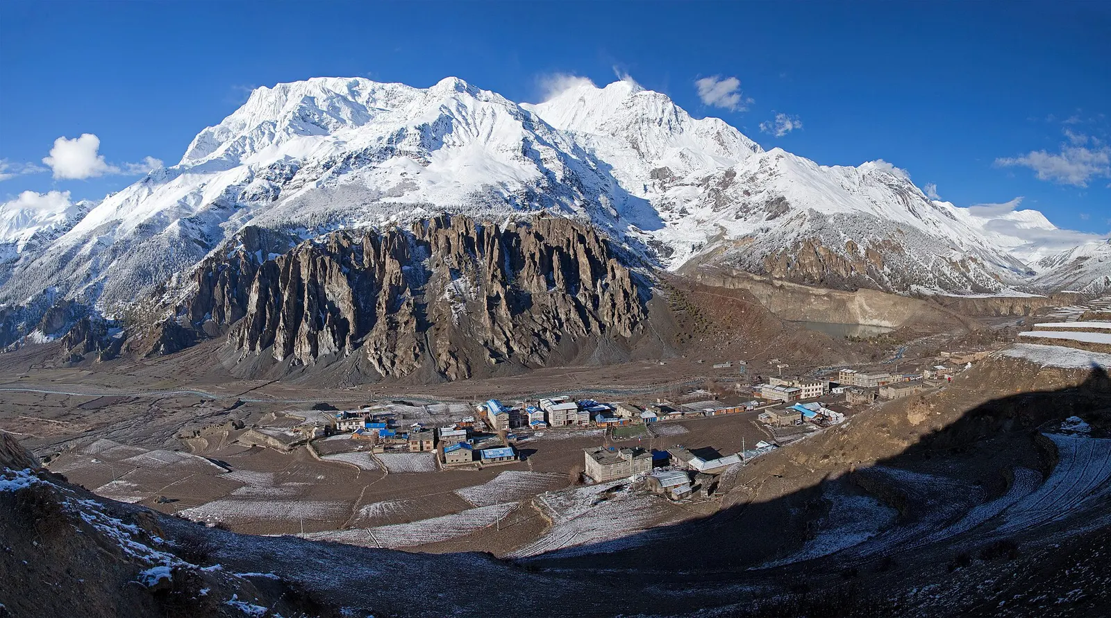
Town or village · 3,519 m
A high stone village in the upper Marsyangdi valley below Annapurna III and Gangapurna, where Circuit trekkers stop to acclimatise.
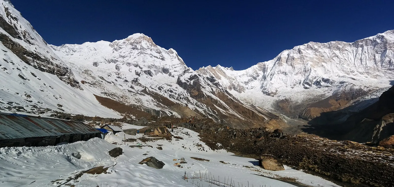
Trek stop · 4,130 m
Lodges at about 4,130 m in the glacial basin of the Annapurna Sanctuary, below the south face of Annapurna I.
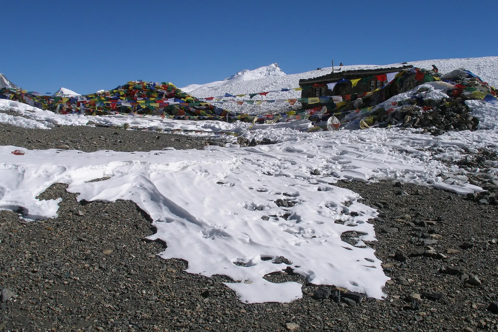
Mountain pass · 5,416 m
The 5,416 m pass between Manang and Muktinath, the high point of the Annapurna Circuit.
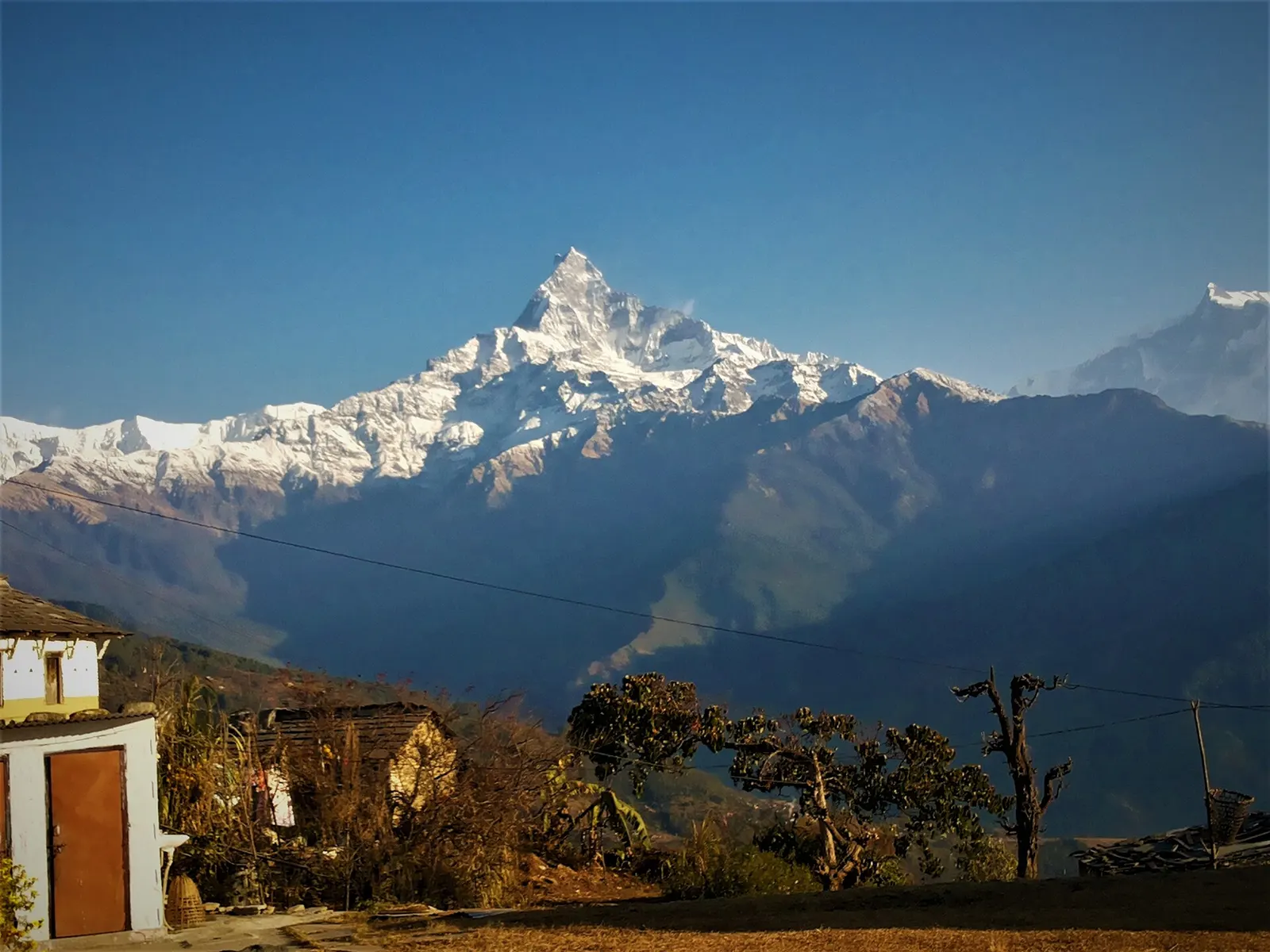
Trek stop · 2,060 m
A grassy clearing at about 2,060 m above Kande with a wide view of the Annapurna range and Machhapuchhre, an easy walk from the road.
Trek stop · 2,310 m
A group of lodges in the bamboo forest of the Modi Khola gorge, the first overnight stop above Chhomrong on the way to Annapurna Base Camp.
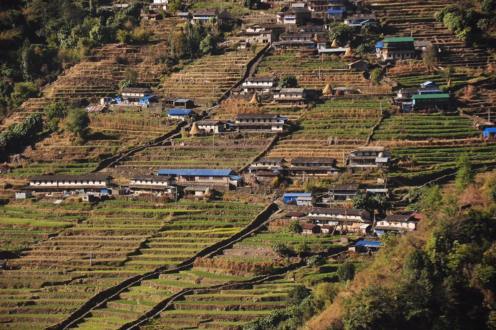
Trek stop · 2,170 m
The last permanent Gurung village before the Annapurna Sanctuary, built on a steep staircase facing Annapurna South and Machhapuchhre.
Trek stop · 3,200 m
The last lodges in the Modi Khola gorge before Machhapuchhre Base Camp, at about 3,200 m.
Trek stop · 1,650 m
A Gurung hill village above Phedi with views of Machhapuchhre and the Annapurnas, close to Pokhara.
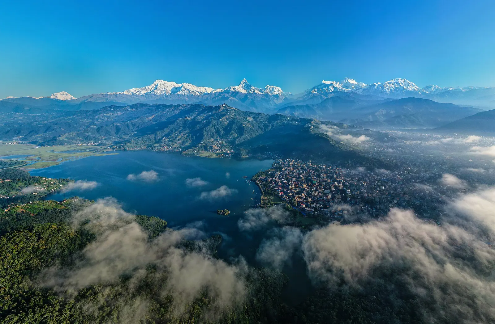
Town or village · 822 m
A lakeside city about 200 km west of Kathmandu, with the Annapurna range and Machhapuchhre rising close to the north.