
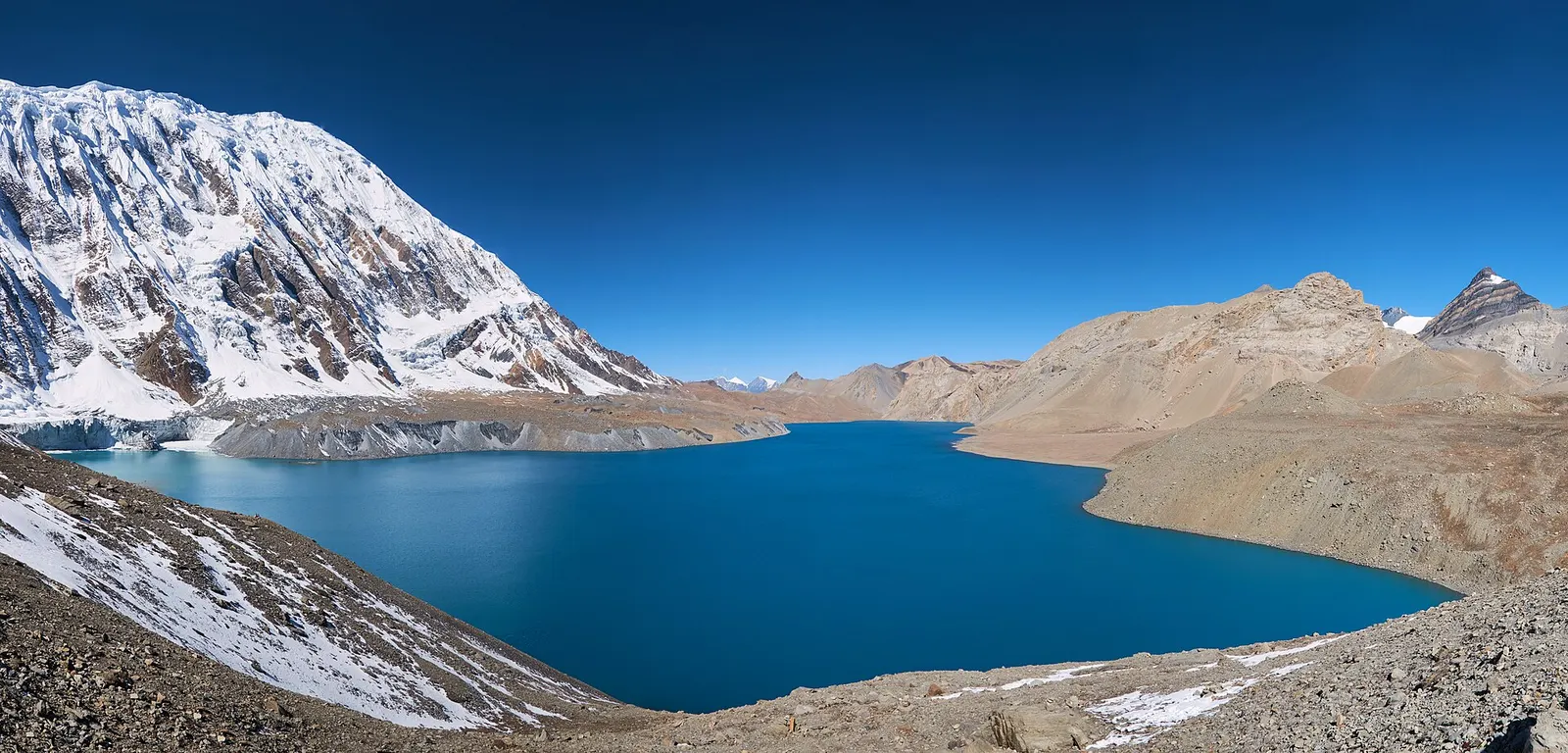
A teahouse journey around the Annapurna massif, from the green Marsyangdi valley through Manang and over the Thorong La (5,416 m) to Muktinath and the dry Kali Gandaki valley.
- Days
- 11 days
- Maximum altitude
- 5,416 m
- Difficulty
- Strenuous
Pokhara & Annapurna, Tilicho Lake
A side trek from Manang on the Annapurna Circuit to Tilicho Lake (about 4,919 m), a glacier-fed lake below Tilicho Peak, via Khangsar, Shree Kharka and Tilicho Base Camp.
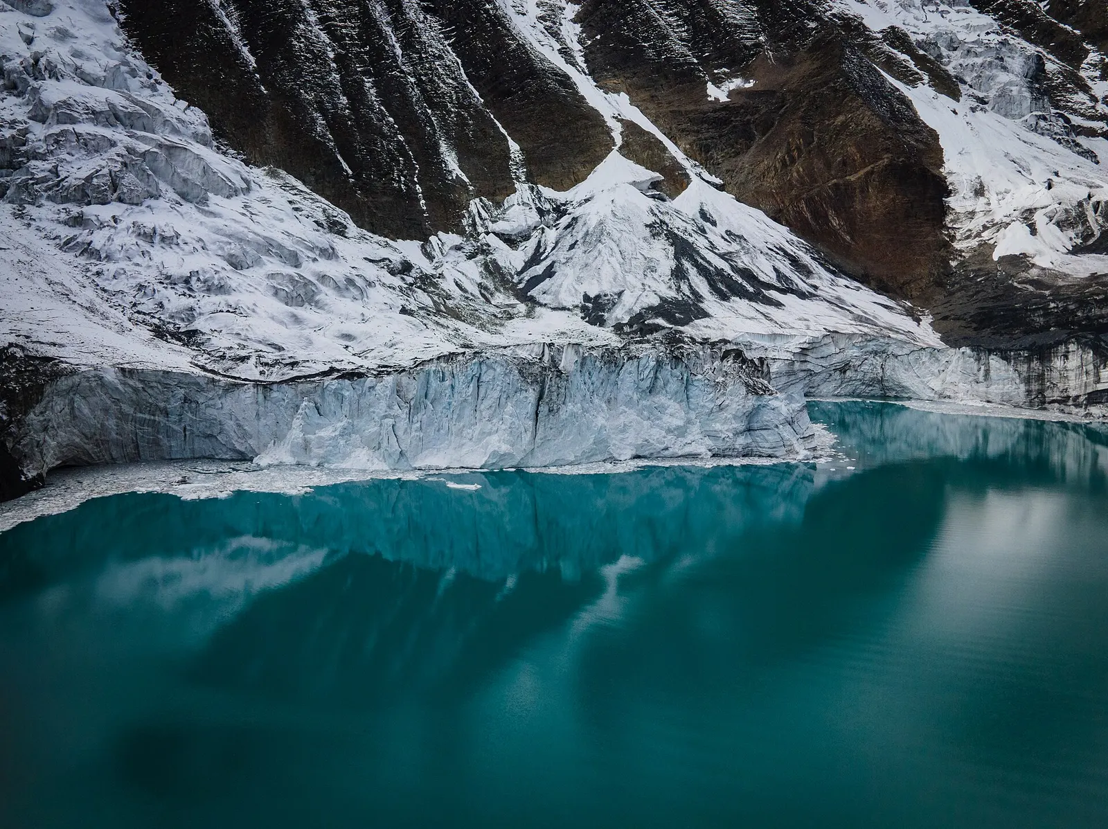
Tilicho Lake lies at about 4,919 m below the ice cliffs of Tilicho Peak, at the head of the Khangsar Khola valley west of Manang. It is usually visited as a two to three day detour from the Annapurna Circuit: from Manang the trail climbs past the old village of Khangsar to Shree Kharka and Tilicho Base Camp, and the lake is a steep morning climb above base camp.
The plan below treats Tilicho as an out-and-back trek from Manang, reached up the Marsyangdi valley with the usual acclimatisation stops, and returns to Manang for a jeep down to Besisahar. Trekkers continuing on the circuit can instead walk from Shree Kharka to Yak Kharka via Old Khangsar and cross the Thorong La to Muktinath.
The section between Shree Kharka and base camp crosses steep, unstable scree and is the main hazard; the lake day is long and high. Take the acclimatisation days seriously, because sleeping at about 4,150 m and climbing to nearly 4,920 m comes soon after Manang.
Why it is rated strenuous
Sleeping altitude for each night. The dashed lines at 3,000 m and 4,000 m mark heights where altitude illness becomes more common. General information only, not medical advice.
Hover, tap or use the arrow keys to see each day. Shaded columns are acclimatisation days.
| Day | Overnight | Sleeping altitude | High point |
|---|---|---|---|
| 1 | Dharapani | 1,860 m | - |
| 2 | Chame | 2,670 m | - |
| 3 | Upper Pisang | 3,300 m | - |
| 4 | Manang | 3,519 m | 3,730 m |
| 5 | Manang (rest) | 3,519 m | 4,600 m |
| 6 | Shree Kharka | 4,070 m | - |
| 7 | Tilicho Base Camp | 4,150 m | - |
| 8 | Shree Kharka | 4,070 m | 4,919 m |
| 9 | Manang | 3,519 m | - |
| 10 | Besisahar | 760 m | - |
About 6-8 hours to Besisahar, then a jeep up the rough Marsyangdi road. Some trekkers stop overnight in Besisahar.
Teahouse in DharapaniAbout Dharapani
Through Bagarchhap and Danaqyu into fir and pine forest, with first views of Annapurna II. Footpaths avoid much of the road.
Teahouse in ChameAbout Chame
Past Bhratang and the curved rock face of Paungda Danda. Upper Pisang has an active monastery and views of Annapurna II.
Teahouse in Upper PisangAbout Upper Pisang
The high route climbs steeply to Ghyaru and traverses to Ngawal before dropping to Braga and Manang, good for acclimatisation.
Teahouse in ManangAbout Mananghigh point Ghyaru, 3,730 m
Climb to the Gangapurna glacier viewpoint or the Ice Lake and return to sleep. Ask at the Himalayan Rescue Association post about altitude and about current conditions on the Tilicho trail.
Teahouse in ManangAbout Mananghigh point Ice Lake (Kicho Tal), 4,600 m
West through Khangsar, staying on the northern trail; the old south-side path is abandoned. Shree Kharka has a few basic lodges.
Teahouse in Shree KharkaAbout Shree Kharka
A short but exposed walk across scree and landslide slopes; keep moving through the danger zone and avoid it in rain or snow.
Teahouse at Tilicho Base CampAbout Tilicho Base Camp
Leave at first light for the steep climb of about 750 m to the lake, then descend to base camp and continue to Shree Kharka. Wind and cloud usually build by late morning; some trekkers sleep at base camp again instead.
Teahouse in Shree KharkaAbout Shree Kharkahigh point Tilicho Lake, 4,919 m
Return via Khangsar. To continue on the Annapurna Circuit instead, take the signposted trail via Old Khangsar to Yak Kharka (about 4-5 hours) and cross the Thorong La two days later.
Teahouse in ManangAbout Manang
A long, rough jeep ride down the Marsyangdi valley, usually 7-10 hours depending on road conditions; continue to Kathmandu or Pokhara the next day.
Hotel in Besisahar
Stages, times and altitudes vary by operator, weather and pace. Partner agencies confirm the exact plan.
Trail geometry from OpenStreetMap.
ACAP entry permit (Annapurna Conservation Area)Conservation area
Issued at the Nepal Tourism Board permit counters in Kathmandu and Pokhara or through your agency; checked at trail checkpoints.
TIMS cardTrekker card
Check whether a TIMS card is currently required; since 2023 it has been issued through registered trekking agencies.
Verify before travel: permit rules and fees change. Checked 2026-10-06 against National Trust for Nature Conservation (ACAP). Guide rule: The National: Nepal bans solo trekking for tourists, guides mandatory from April 1 (March 2023).
Nepal trekking permits explainedBest months: Mar-May, Oct-Nov
Forecasts for start (Dharapani, 1,860 m), highest overnight (Tilicho Base Camp, 4,150 m), end (Besisahar, 760 m). Mountain weather changes fast; check again on the day.
Forecast for 1,860 m. Conditions change fast in the mountains.
Weather data: MET Norway, licensed CC BY 4.0. A forecast, not a guarantee.
Forecast for 4,150 m. Conditions change fast in the mountains.
Weather data: MET Norway, licensed CC BY 4.0. A forecast, not a guarantee.
Forecast for 760 m. Conditions change fast in the mountains.
Weather data: MET Norway, licensed CC BY 4.0. A forecast, not a guarantee.
From Shree Kharka walk via Old Khangsar to Yak Kharka, then to Thorong Phedi and over the pass to Muktinath, joining the full Annapurna Circuit.
A full-day acclimatisation hike from Manang or Braga to a small lake at about 4,600 m.
Combine with the restricted Nar Phu valley, which rejoins the main valley at Ngawal before Manang.
It is usually given as about 4,919 m; one source lists 4,949 m.
Usually two to three days from Manang, rejoining the circuit at Yak Kharka via Old Khangsar.
The main hazards are altitude and a scree and landslide section between Shree Kharka and base camp. Cross it early, keep moving and avoid it in rain or snow.
No. Sleep at Tilicho Base Camp or Shree Kharka; there may be a seasonal tea shop at the lake but no rooms.
An ACAP permit is required, and check whether a TIMS card is needed. A Nepal Tourism Board rule from April 2023 requires a licensed guide in conservation areas; confirm the current position.
A teahouse journey around the Annapurna massif, from the green Marsyangdi valley through Manang and over the Thorong La (5,416 m) to Muktinath and the dry Kali Gandaki valley.
A restricted-area trek from Koto on the Annapurna Circuit into the high Tibetan Buddhist villages of Phu and Nar, crossing the Kang La (about 5,320 m) to Ngawal and Manang.
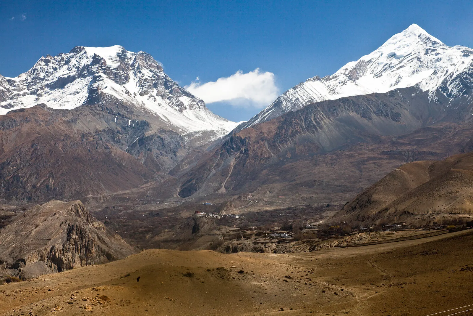
A short trek in Lower Mustang from Jomsom via Kagbeni to the Muktinath temple (about 3,760 m) and back through Marpha, with flights from and to Pokhara.
Tilicho Lake · 10 days