
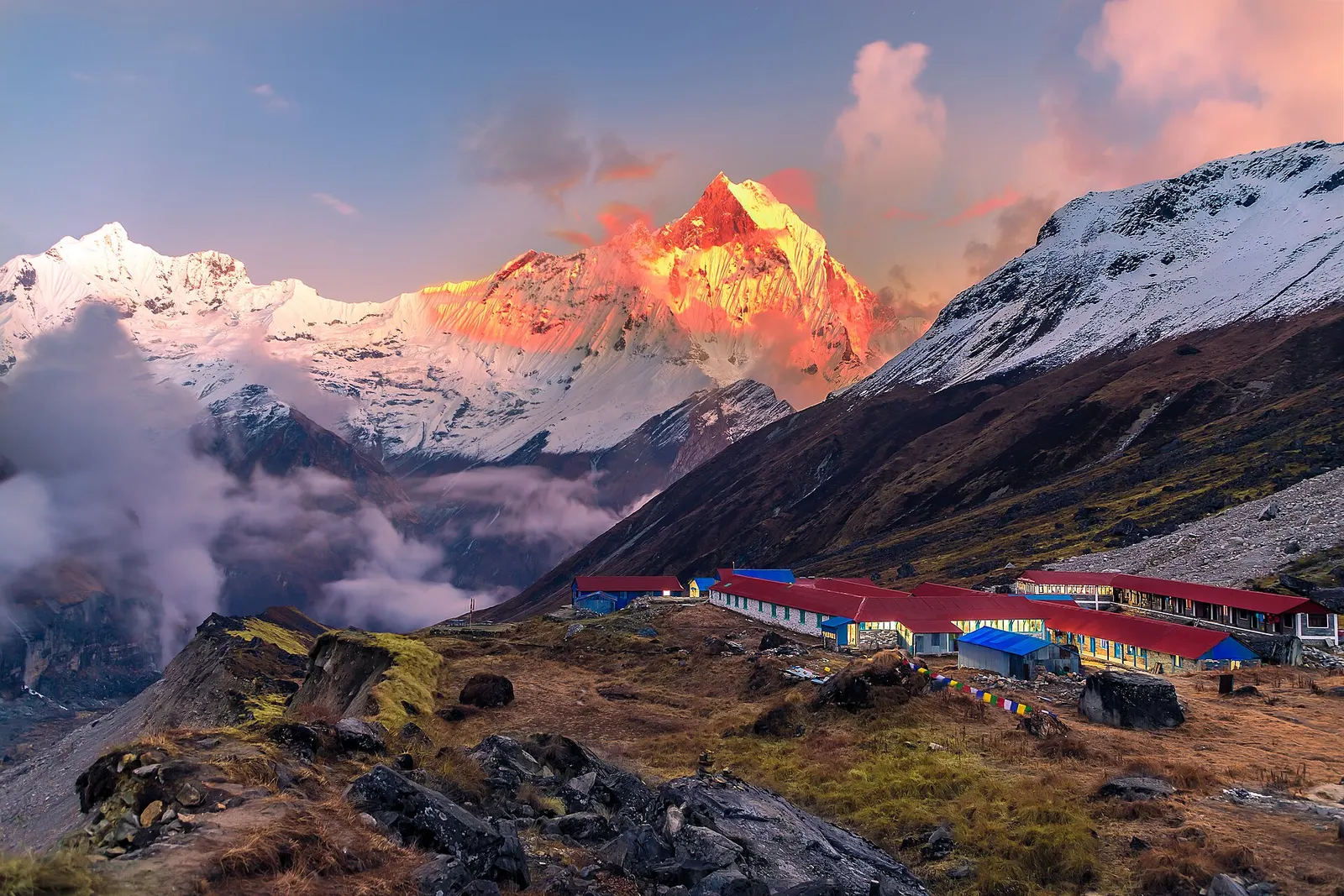
National park or conservation area
Annapurna Region
Nepal's largest protected area, from Gurung hill villages and rhododendron forest to the dry valleys behind the Annapurna range.
Gandaki Provinceलमजुङ
Starting point of the Annapurna circuit at Besisahar, with Gurung hill villages and the old Lamjung Durbar.
Lamjung lies between Kaski to the west and Gorkha to the east, with Tanahun to the south and Manang to the north. The Marsyangdi river runs north to south through the district, and side valleys such as the Dordi climb towards Lamjung Himal and the eastern Annapurnas. Elevations range from warm valley floors to high forest and alpine pasture below the peaks.
Gurung communities form a large share of the population, alongside Magar, Brahmin-Chhetri and Dalit groups, and many families have links to Gurkha service. The district was once the seat of the Lamjung kingdom, and the old Lamjung Durbar survives on a ridge above Besisahar. Most travellers pass through Besisahar on the Annapurna circuit, while others stay in Gurung homestay villages such as Ghale Gaun and Bhujung.
National park or conservation area
Nepal's largest protected area, from Gurung hill villages and rhododendron forest to the dry valleys behind the Annapurna range.
Town or village · 760 m
Lamjung's district headquarters in the Marsyangdi valley and the traditional starting point of the Annapurna Circuit.
Town or village · 2,070 m
A Gurung hill village in Lamjung known for community homestays and wide views of the Annapurna and Lamjung Himal ranges.
Besisahar is reached by road from Dumre on the Prithvi Highway, roughly a day's drive from Kathmandu or half a day from Pokhara. Pokhara has the nearest airport with regular flights. From Besisahar, jeeps continue up the Marsyangdi valley towards Manang.
Autumn and spring are best for trekking and views of the Annapurnas; the monsoon brings heavy rain and landslides to the Marsyangdi road, and winter is mild in the valleys.