
Town or village
Baglung Bazaar
District headquarters on a broad terrace above the Kali Gandaki, known for its Kalika temple and pedestrian suspension bridges.
Gandaki Provinceबागलुङ
Hill district on the Kali Gandaki known for its long suspension bridges, the Kalika temple and the remote Dhorpatan Hunting Reserve.
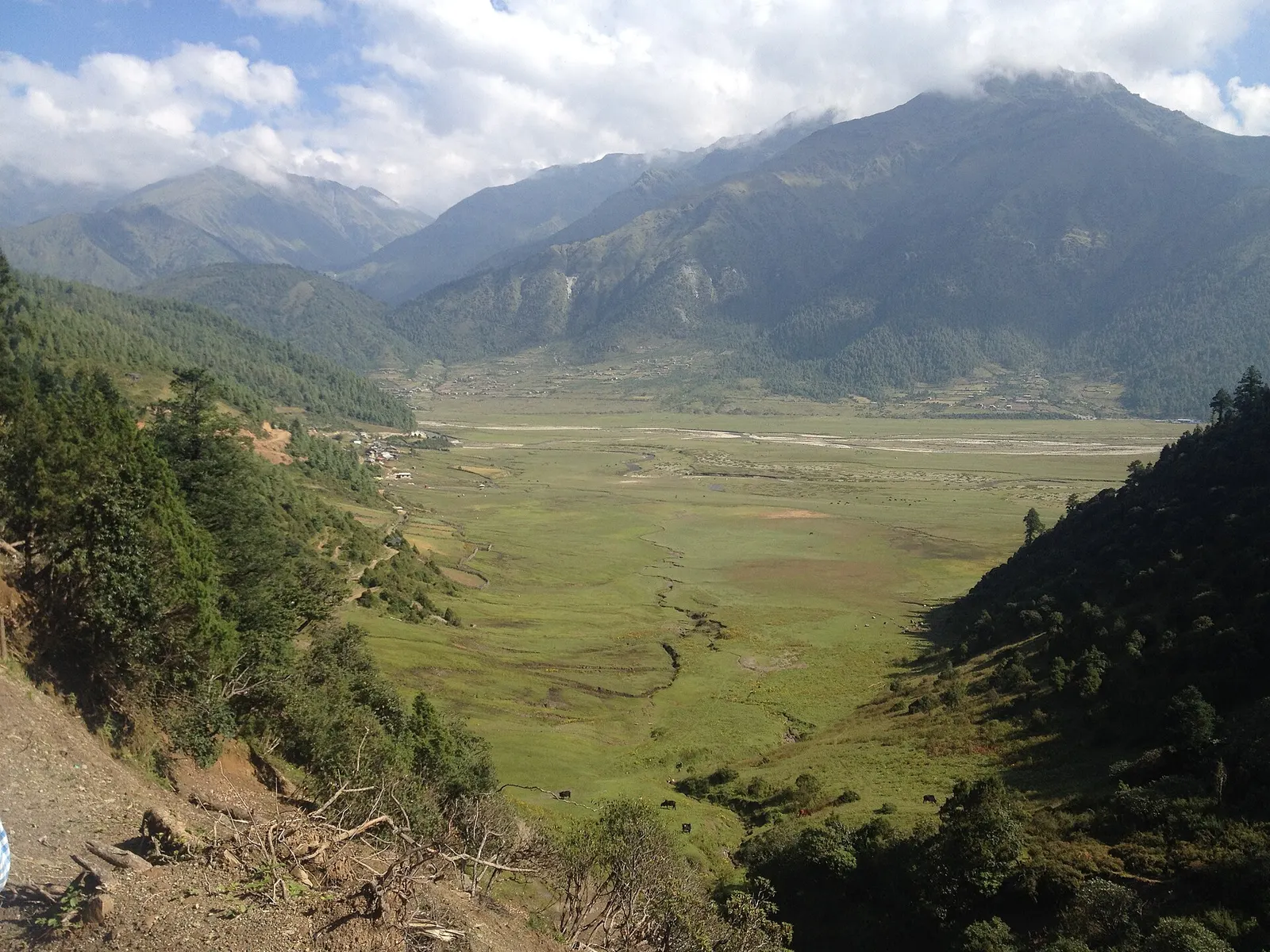
Baglung lies in the middle hills of western Gandaki Province, with Myagdi to the north, Parbat to the east and the hills of Lumbini Province to the south and west. The Kali Gandaki cuts through its eastern side, and Baglung bazaar sits on a broad terrace high above the river. To the west the land climbs through forested ridges towards the high pastures of the Dhorpatan Hunting Reserve on the Dhaulagiri foothills.
Magar, Chhantyal, Gurung and Brahmin-Chhetri communities live across the district, and many households depend on farming and on remittances from work abroad and service in the army. Baglung is often called the district of suspension bridges, and walking them is part of a visit. Travellers come to see the Kalika Bhagawati temple, to stop on the way to Beni and Dhaulagiri, or to head west on the long, quiet route to Dhorpatan.
Town or village
District headquarters on a broad terrace above the Kali Gandaki, known for its Kalika temple and pedestrian suspension bridges.
Temple, monastery or heritage site
A revered Kalika shrine in a grove of trees at the edge of Baglung bazaar, busiest during Dashain.
National park or conservation area · 2,850 m
Nepal's only hunting reserve, a remote high country of alpine meadows, fir forest and blue sheep below the Dhaulagiri and Putha Himal ranges.
Baglung is reached by road from Pokhara on the highway that runs west through Nayapul and Kusma, usually a drive of a few hours. Pokhara has the nearest airport with regular flights. Reaching Dhorpatan takes a further long journey by jeep on rough roads, followed by walking.
Autumn and spring bring clear views and comfortable walking; the monsoon makes roads slippery and prone to landslides, and winter is cold and snowy around Dhorpatan.