

Town or village · 1,030 m
Bandipur
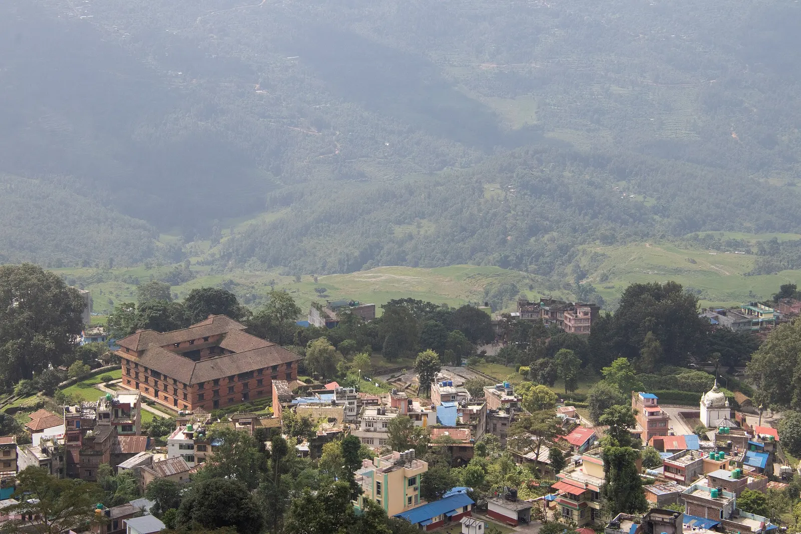
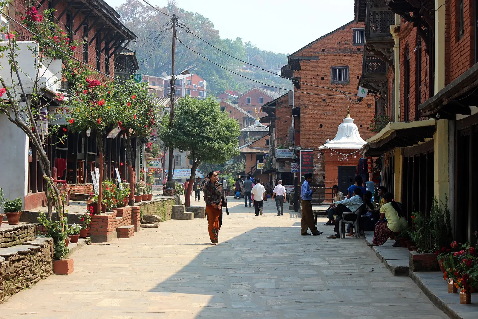
An old Newar trading bazaar on a ridge above the Kathmandu-Pokhara highway, with a car-free main street and views of the Himalaya.
Pokhara & Annapurnaगोरखा
The hill town where the unification of modern Nepal began.
This is Gorkha town, seat of the old Gorkha Kingdom in Gorkha district of Nepal, not the Gurkha soldiers named after it or the Gorkhaland region of India.
Gorkha is a hill town in central Nepal and the seat of Gorkha district, about 140-150 km west of Kathmandu and a short detour north from the Prithvi Highway. It is a place of national history: from here the Shah dynasty ruled the small Gorkha Kingdom, and in the 18th century King Prithvi Narayan Shah set out to conquer the Kathmandu Valley and the neighbouring hill states, creating the country that became modern Nepal.
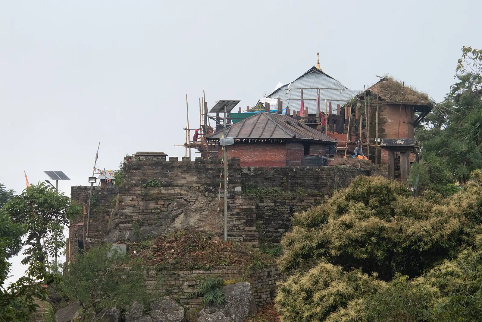
The main sight is Gorkha Durbar, the fortified palace and temple complex on the ridge above the bazaar. A stone stairway climbs to it in about an hour, and from the top the view takes in Manaslu, Himalchuli, Ganesh Himal and the Annapurnas to the north on clear days, with the Gorkha valley and its villages to the south. Inside the complex are the Kalika temple and the Gorakhnath cave shrine. In the bazaar, the Gorkha Museum occupies Tallo Durbar, the lower palace, and covers the history of the Shah kings.
Gorkha is usually visited as a stop between Kathmandu and Pokhara, often together with the Manakamana temple, which is reached by cable car from Kurintar on the highway. It is also the road gateway for treks into the Manaslu region via Arughat and Soti Khola.
The story
Gorkha takes its name from the yogi Gorakhnath, whose cave shrine lies below the palace, and the town in turn gave its name to the Gurkha soldiers. Manakamana is the wish-fulfilling goddess. Legend says the queen of King Ram Shah had divine powers, which only her devotee Lakhan Thapa knew of. After her death a farmer's plough struck a stone that bled, and the shrine was built at that place.
The Gorkha Kingdom was founded in the 16th century, and the hilltop palace is traditionally credited to King Ram Shah. Prithvi Narayan Shah was born here in 1723 and became king in 1743. His campaigns over the following decades, culminating in the conquest of the Kathmandu Valley in 1768-1769, unified the hill principalities into the Kingdom of Nepal. His collected sayings, the Divya Upadesh, are displayed in the palace museum. The word Gorkhali came to mean the people of the expanding kingdom, and through the British it gave rise to the name Gurkha for Nepali soldiers.
The name Gorkha is linked to the yogi Gorakhnath, whose shrine and cave below the palace remain an active place of worship, with a fair on Baisakh Purnima. The Kalika temple inside the palace complex is one of the town's most important shrines, and Dashain sacrifices there draw large crowds. Gorkha district was the epicentre of the April 2015 earthquake, which badly damaged the palace and many houses; restoration of the palace has since been carried out. The municipality was called Prithvinarayan until 2009.
Manakamana cable carBookable locally
A cable car from Kurintar climbs to the Manakamana temple in about ten minutes. Arrive early on weekends and festival days, when queues are long.
indicative, about US$20 return for foreign visitors
Climb to Gorkha DurbarFree
About an hour of stone steps from the bazaar to the palace on the ridge. Go early for clear views.
Gorkha Museum
Visit Tallo Durbar in the bazaar for exhibits on the Shah dynasty and the unification of Nepal; an entry ticket applies.
Manakamana by cable car
Ride the cable car from Kurintar on the Prithvi Highway to the hilltop temple; queues are long on Saturdays and festival days.
Upper Gorkha ridge walk
Continue past the palace to Upallo Kot, a hilltop above the palace with wider mountain views.
Forecast for 1,135 m. Conditions change fast in the mountains.
Weather data: MET Norway, licensed CC BY 4.0. A forecast, not a guarantee.
Oct-Apr
Hotels in Gorkha Bazaar, below the palace.
Hotels and guesthouses in Gorkha bazaar below the palace; community homestays in some villages around the district.
No partner stays are listed here yet. List a property.
Hill-style dal bhat in the bazaar. Local honey is sold in season.
Gorkha is reached by a branch road that leaves the Prithvi Highway at Abu Khaireni. Direct buses run from Kathmandu, Pokhara and Chitwan.
Nearest hub: Kathmandu
Nearest hub: Kathmandu. Times are typical ranges, not schedules, and vary with roadworks, weather and the season.
By busfrom Kathmanduabout 4-6 hTourist and local buses
Gorkha sits on an all-weather branch road off the Prithvi Highway at Abu Khaireni and has direct services from Kathmandu, Pokhara, Birgunj and Bhairahawa. Microbuses are quicker and less crowded than the large buses.
When to set off: buses leave Kathmandu through the morning; an early start leaves time to climb to Gorkha Durbar the same day
By car or jeepfrom Kathmanduabout 4-6 h
About 140-150 km on sealed road: the Prithvi Highway to Abu Khaireni, then roughly 24 km up the branch road to the bazaar in 45-60 minutes. From Pokhara it is about 3-4 h.
Road: Sealed highway and a sealed all-weather branch road; no 4WD needed, though the hill section is winding and monsoon-affected.
When to set off: leave Kathmandu early to clear the Prithvi Highway's slow sections
By motorbikefrom Kathmanduabout 4-6 hModerate riding
A straightforward sealed-road ride, but the Prithvi Highway is busy with freight and the Abu Khaireni branch road is tight and winding, so it suits riders with some highway experience.
Road: Sealed throughout; busy highway as far as Abu Khaireni, then a winding sealed hill road.
When to set off: leave Kathmandu by about 07:00 to ride the highway section before the day heats up
On footfrom Gorkhaabout 1-1.5 habout 1 h up stone steps from the bazaar to Gorkha Durbar, roughly 300 m of ascent
Gorkha Durbar stands on the ridge above the bazaar and is reached on foot up a long flight of stone steps; Upallo Kot is higher again.
When to set off: start the climb early, before the day warms up and the haze builds
Entry fee
No permit is needed for Gorkha. The Gorkha Museum and Gorkha Durbar charge entry tickets; the Manakamana cable car is paid separately.
Verify before travel: permit rules and fees change. Checked 2026-10-06 against Gorkha Palace, Wikipedia.
What this place is typically exposed to, and when. These are seasonal patterns, not a report on conditions now.
Landslidesmoderate in a typical yearJun-Sep
The branch road up from Abu Khaireni and the hill roads around Gorkha run through steep ground that is prone to slips during the June to September monsoon.
Road blockagesmoderate in a typical yearJun-Sep
The Prithvi Highway corridor and the Gorkha branch road are prone to monsoon landslide blockages, which can add hours to a journey that is otherwise straightforward.
Heatmoderate in a typical yearApr-Jun
At about 1,135 m the bazaar is hot and hazy in the pre-monsoon weeks, and the stone-step climb to the Durbar is best done early in the morning.
Otherlow in a typical yearJun-Aug
Forest paths on the ridge above the bazaar, including the walk to Gorkha Durbar and Upallo Kot, are slippery and leech-prone in the monsoon.
Check current conditions before you travel
Roads, trails, passes and flights change with the weather and with roadworks, and nothing on this page describes conditions today. Before you set off, check the Department of Hydrology and Meteorology for weather and flood warnings, the Nepal Disaster Risk Reduction Portal for incidents, and the local authority, police or your licensed operator for road, trail and flight status.
Safety
The steps to Gorkha Durbar are steep. Carry water in the warmer months.Take a direct bus or drive about 5-6 hours (140-150 km), leaving the Prithvi Highway at Abu Khaireni.
It was the seat of the Gorkha Kingdom, from which Prithvi Narayan Shah began the 18th-century campaigns that unified Nepal.
No, it starts at Kurintar on the Prithvi Highway, about an hour's drive from Gorkha bazaar.
No permit is needed; the museum and palace charge entry tickets.
Yes, as a stop between Kathmandu and Pokhara, but you will have more time for the palace and museum if you stay a night in the bazaar.
Town or village · 1,030 m
An old Newar trading bazaar on a ridge above the Kathmandu-Pokhara highway, with a car-free main street and views of the Himalaya.
Town or village · 822 m
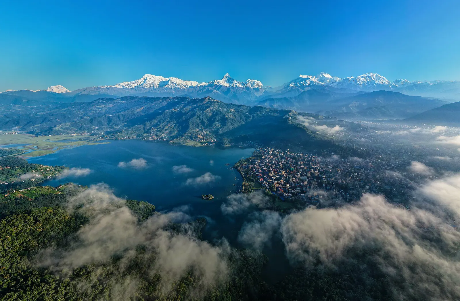
A lakeside city about 200 km west of Kathmandu, with the Annapurna range and Machhapuchhre rising close to the north.
National park or conservation area
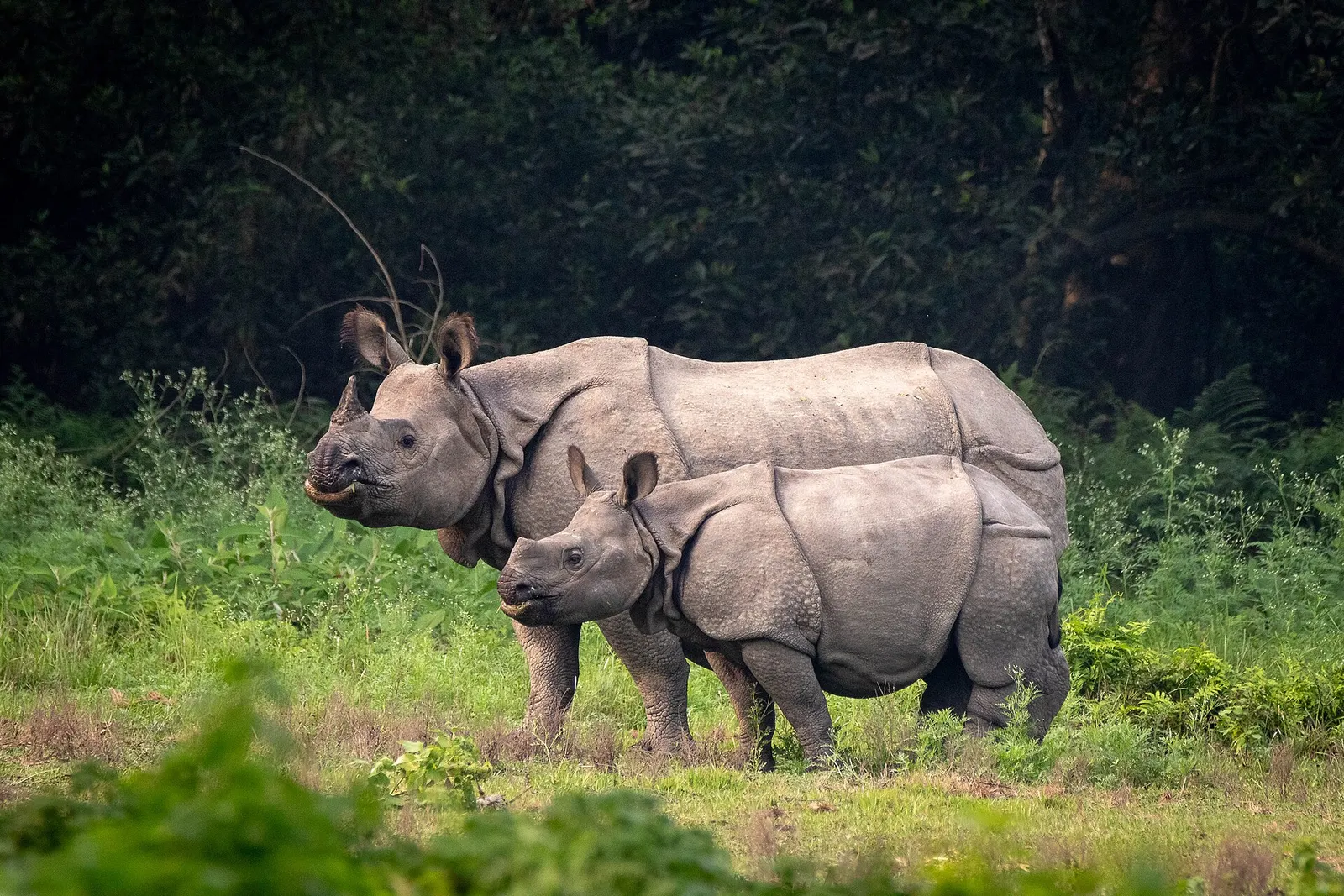
Nepal's first national park, in the inner Terai lowlands: sal forest, tall grassland and rivers home to one-horned rhinoceros, tigers and gharials.