Temple, monastery or heritage site
Alamdevi Temple
A forest shrine in Syangja sacred to Magar communities and linked in tradition to the ancestors of the Shah kings.
Pokhara & Annapurnaसिरुबारी
A Gurung hill village in Syangja that pioneered village homestay tourism in Nepal, with views of the Annapurnas and Dhaulagiri.
Sirubari is a Gurung village on a ridge in Syangja district, south-west of Pokhara. Neat stone houses with slate roofs line paved paths, terraced fields drop to the valleys, and on clear days the view to the north takes in Dhaulagiri, the Annapurnas and Machhapuchhre. The village is best known as one of the first places in Nepal to offer organised homestays, where visitors live with local families rather than in lodges.
A typical stay includes a welcome by villagers, Gurung meals in family kitchens, an evening programme of songs and dances, and walks to a viewpoint above the village for sunrise. Visitors can also walk to neighbouring villages, visit the local school and shrines, and see daily farm life. Two or three nights is a comfortable length for a visit.
The village is reached by road from the Siddhartha Highway, and can be combined with other parts of Syangja such as the Alamdevi temple and Putalibazar, or with Panchase to the north. It suits travellers interested in rural life and quiet walks rather than high-altitude trekking.
Many families in Sirubari have members who served in the British and Indian Gurkha regiments, and returning soldiers played a large part in setting up village tourism here in the 1990s. The idea of a whole village hosting guests in rotation, with income shared through a community committee, was later copied across Nepal.
Gurung traditions remain central to village life. Visitors may see ghatu or sorathi dances at festivals, hear about the community's Buddhist and shamanic practices, and learn about the role of the mothers' groups that organise much of the hospitality.
Homestay
Stay with a Gurung family arranged through the village committee and share their meals.
Sunrise viewpoint
Walk up above the village at dawn for views of the Himalayan range.
Village walks
Explore surrounding fields, forests and neighbouring settlements on foot.
Forecast for 1,700 m. Conditions change fast in the mountains.
Weather data: MET Norway, licensed CC BY 4.0. A forecast, not a guarantee.
Feb-Apr, Oct-Dec
Community homestays allocated in rotation through the village committee.
No partner stays are listed here yet. List a property.
Travel south from Pokhara along the Siddhartha Highway towards Syangja, then take a side road up to Sirubari.
Nearest hub: Pokhara
None needed
No permit is needed to visit Sirubari.
Verify before travel: permit rules and fees change. Checked 2026-10-08 against Nepal Tourism Board.
What this place is typically exposed to, and when. These are seasonal patterns, not a report on conditions now.
Landslidesmoderate in a typical yearJun-Sep
The side road to Sirubari and the Siddhartha Highway are affected by landslides and mud during the monsoon.
Coldlow in a typical yearDec-Feb
Winter nights at around 1,700 m are cold, and village houses are not heated.
Check current conditions before you travel
Roads, trails, passes and flights change with the weather and with roadworks, and nothing on this page describes conditions today. Before you set off, check the Department of Hydrology and Meteorology for weather and flood warnings, the Nepal Disaster Risk Reduction Portal for incidents, and the local authority, police or your licensed operator for road, trail and flight status.
In the hills of Syangja district, south-west of Pokhara, reached by a side road from the Siddhartha Highway.
It was one of the first villages in Nepal to offer organised community homestays.
Two or three nights allows time for the homestay, cultural programme and walks.
Temple, monastery or heritage site
A forest shrine in Syangja sacred to Magar communities and linked in tradition to the ancestors of the Shah kings.
Town or village
Syangja's district headquarters on the Siddhartha Highway, a base for Sirubari, Alamdevi and the southern Panchase hills.
Viewpoint · 2,517 m
A forested hill at about 2,500 m west of Phewa Tal, with a temple and pond on top and views of the Annapurna and Dhaulagiri ranges.
Town or village · 822 m
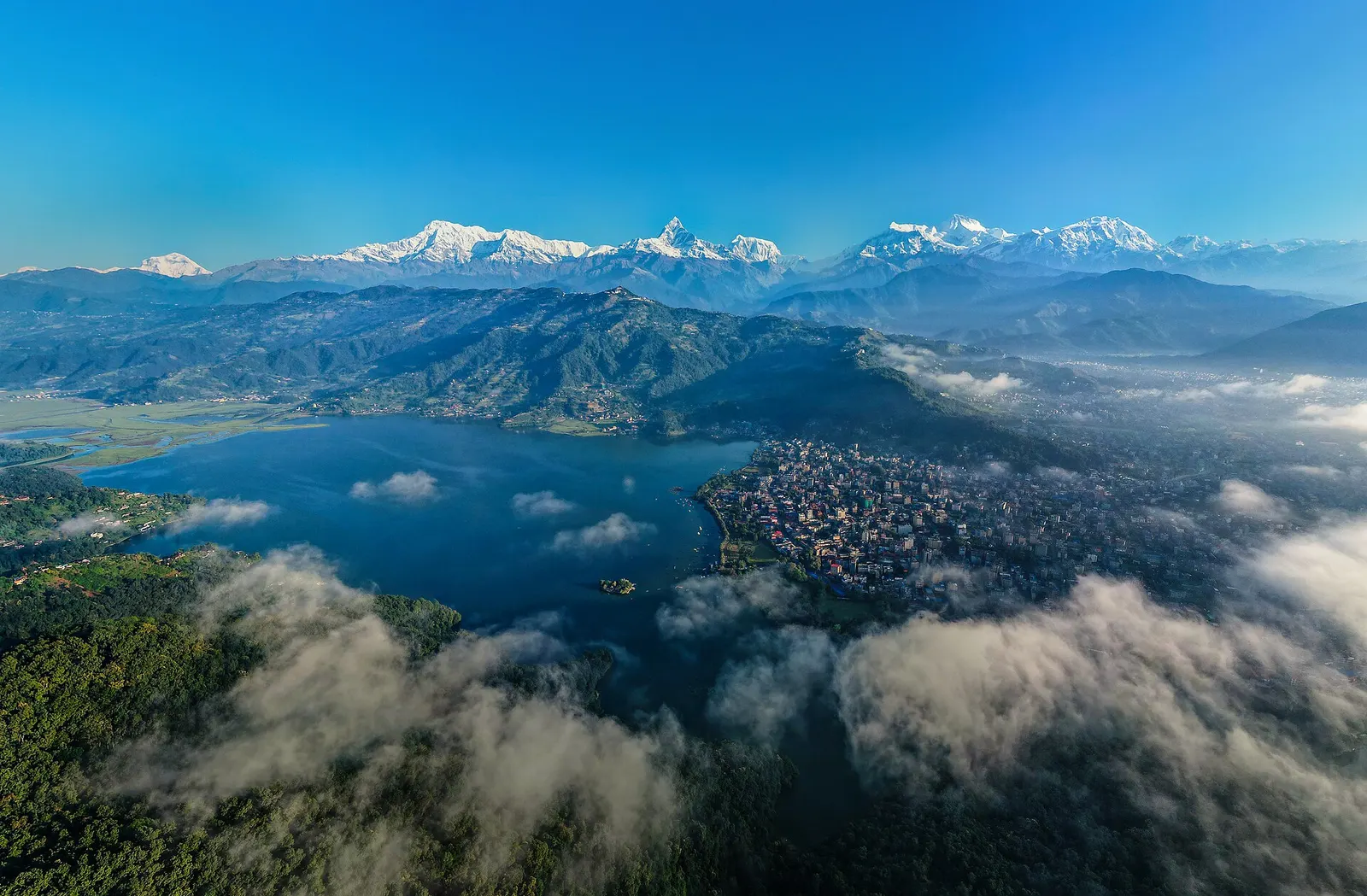
A lakeside city about 200 km west of Kathmandu, with the Annapurna range and Machhapuchhre rising close to the north.