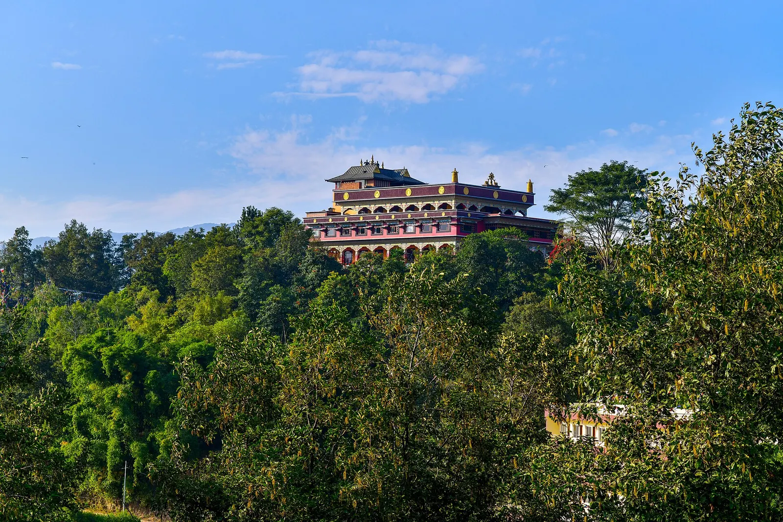


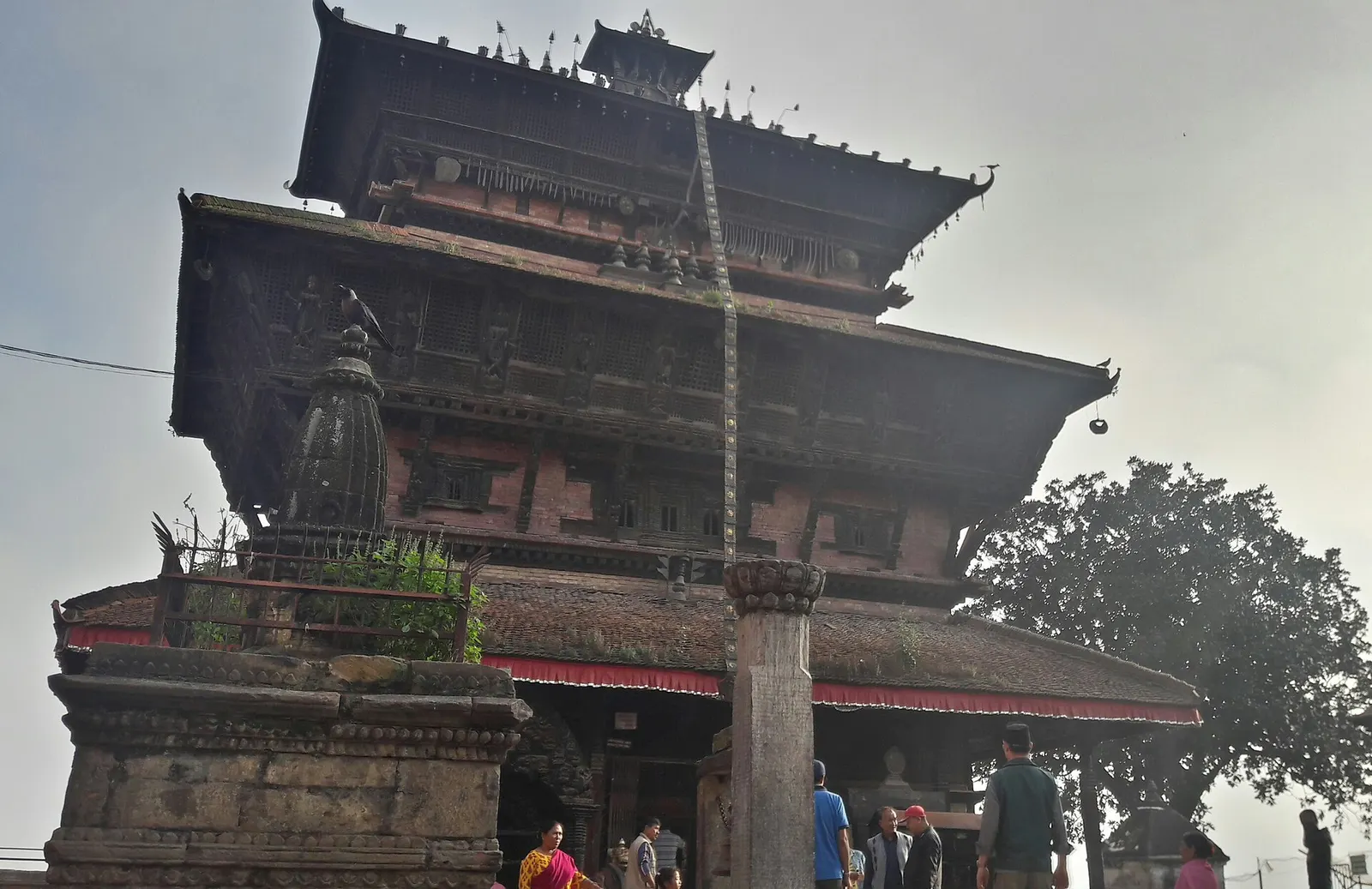
Town or village · 1,400 m
Kirtipur
An old Newar hill town on Kathmandu's south-western edge, with temples, valley views and a dramatic history of resistance.
Kathmanduपुल्लहरी गुम्बा
A Karma Kagyu monastery and retreat centre on a forested ridge north-east of Boudha, with views across the Kathmandu Valley.
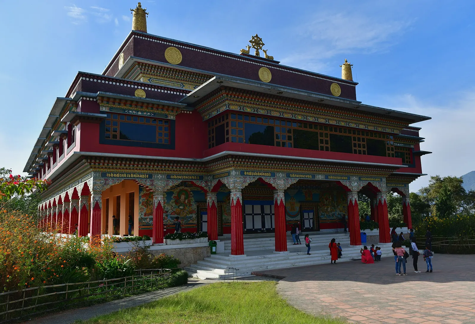
Pullahari Monastery stands high on a wooded ridge on the northern rim of the Kathmandu Valley, about 3-4 km north-east of Boudhanath stupa and close to Kopan. Its red-and-gold temple buildings face south over the valley, and the quiet grounds, terraced gardens and forest behind make it one of the calmer places to visit within a short drive of the city.
The monastery is the Nepal seat of the Jamgon Kongtrul line of lamas and a centre for long retreats, including the traditional three-year retreat. Visitors can usually see the main temple and the memorial temple to the Third Jamgon Kongtrul, and walk the grounds; inside, the shrine halls hold large statues and wall paintings in the Tibetan style. Being further from the main roads than Kopan, it sees fewer casual visitors.
Many people combine Pullahari with Kopan and Boudhanath in a half-day outing, or walk up from Boudha as a short hike. The ridge sits on the edge of the forested slopes leading towards Shivapuri Nagarjun National Park.
In 1986 the Third Jamgon Kongtrul Rinpoche, a senior lama of the Karma Kagyu school, accepted an offer of land here to establish a retreat centre. He died in 1992 before the project was complete, and the monastery was developed afterwards by his labrang (household) and students; one directory gives 1996 as the founding date of the monastery as it stands. The name recalls Pullahari, the place in India associated with the Indian master Naropa, an important figure in the Kagyu lineage.
The Fourth Jamgon Kongtrul, born in 1995 and recognised by the Seventeenth Karmapa, was raised partly at Pullahari before leaving monastic life in 2016. The community today is around a hundred monks and retreatants, and the monastery has hosted teachings and Kagyu prayer gatherings attended by students from many countries.
Hike up from Boudha
Walk about 3-4 km from Boudhanath via Kapan or Jagadol, mostly uphill, 1-1.5 hours.
Visit the temples
See the main shrine hall and the memorial temple, removing shoes and keeping quiet if prayers are under way.
Monastery circuit
Combine Pullahari, Kopan and Boudhanath in a half-day by taxi or on foot.
Forecast for 1,490 m. Conditions change fast in the mountains.
Weather data: MET Norway, licensed CC BY 4.0. A forecast, not a guarantee.
Feb-Apr, Oct-Dec
Most visitors stay in Boudha; retreat participants are housed by arrangement with the monastery.
No partner stays are listed here yet. List a property.
Pullahari is on the northern rim of the valley, north-east of Boudhanath, reached by a steep local road.
Nearest hub: Kathmandu
Nearest hub: Kathmandu. Times are typical ranges, not schedules, and vary with roadworks, weather and the season.
By car or jeepfrom Boudhanathabout 0.3-0.6 h
About 4 to 6 km by road above Boudha; from Thamel allow 45 to 75 minutes. Taxis will usually agree to wait, as return vehicles are scarce at the gate.
Road: Sealed to the village roads above Boudha, then a steep, narrow and partly broken climb to the monastery.
By motorbikefrom Boudhanathabout 0.3-0.5 hModerate riding
A steep, rough climb with loose patches; easier dry than wet.
Road: Steep narrow hill road with broken and loose sections.
On footfrom Boudhanathabout 1-1.5 h1-1.5 h from Boudhanath, about 3 to 4 km, roughly 150 m of ascent
Up village roads and footpaths from the stupa to the ridge.
None needed
There is no entry ticket for visitors; the monastery is open to respectful visitors, though access may be limited during retreats and ceremonies.
Verify before travel: permit rules and fees change. Checked 2026-10-06 against Pullahari Monastery, Namo Buddha centre directory.
What this place is typically exposed to, and when. These are seasonal patterns, not a report on conditions now.
Othermoderate in a typical yearDec-Apr
Dry-season dust and haze are a normal feature of the Kathmandu valley, where measured PM2.5 has run several times the WHO guideline level. Visitors prone to asthma usually do better on early mornings and after rain.
Coldmoderate in a typical yearDec-Feb
The ridge is exposed and rooms are unheated, so December to February mornings are cold, near freezing before sunrise.
Othermoderate in a typical yearJun-Sep
Forest and farm trails here are typically slippery in the monsoon, with leeches in the damp sections and cloud that hides the mountain views for days at a time.
Landslideslow in a typical yearJun-Sep
The steep local road up the northern rim is cut into soft soil and slumps in places during the June to September rains; jeeps cope better than cars after heavy spells.
Road blockageslow in a typical yearJun-Sep
About two thirds of the valley's rain falls between June and September, and sustained downpours typically waterlog junctions and slow valley roads, so short cross-city journeys can take much longer than planned.
Check current conditions before you travel
Roads, trails, passes and flights change with the weather and with roadworks, and nothing on this page describes conditions today. Before you set off, check the Department of Hydrology and Meteorology for weather and flood warnings, the Nepal Disaster Risk Reduction Portal for incidents, and the local authority, police or your licensed operator for road, trail and flight status.
On a forested ridge on the northern rim of the Kathmandu Valley, about 3-4 km north-east of Boudhanath and near Kopan.
Yes, respectful visitors are generally welcome in the temples and grounds, though some areas are reserved for retreats.
Yes, it is about 3-4 km, mostly uphill, taking 1-1.5 hours.
Town or village · 1,400 m
An old Newar hill town on Kathmandu's south-western edge, with temples, valley views and a dramatic history of resistance.
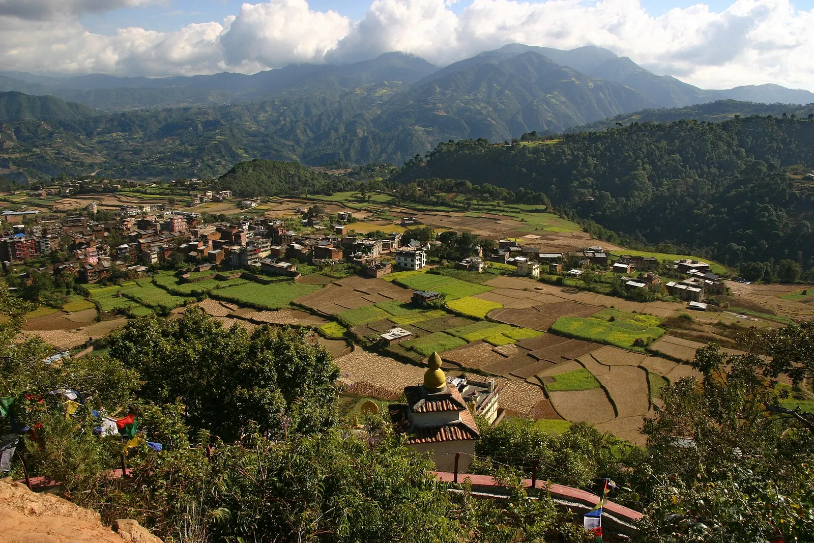
Town or village · 1,570 m
A small Newar town on the southern rim of the Kathmandu Valley, sacred to Vajrayana Buddhists for Guru Rinpoche's meditation caves.
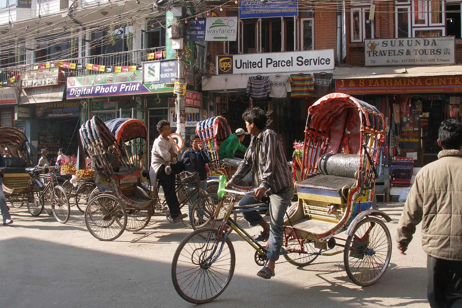
Town or village · 1,320 m
Kathmandu's traveller quarter of narrow lanes, guesthouses, trekking shops and cafes, a short walk north of the old city.
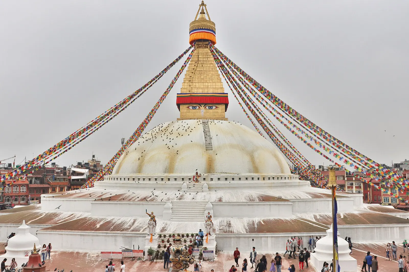
Temple, monastery or heritage site · 1,340 m
The great white stupa of north-east Kathmandu, centre of the valley's Tibetan Buddhist community and its many monasteries.
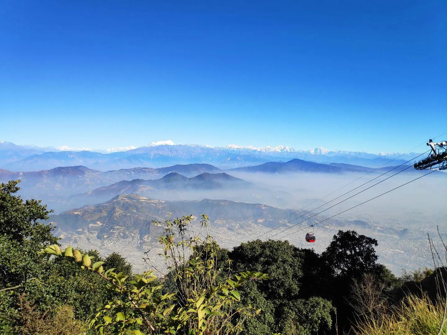
Viewpoint · 2,551 m
A hill on the Kathmandu Valley's south-western rim, reached by cable car, with a Shiva temple and wide Himalayan views.
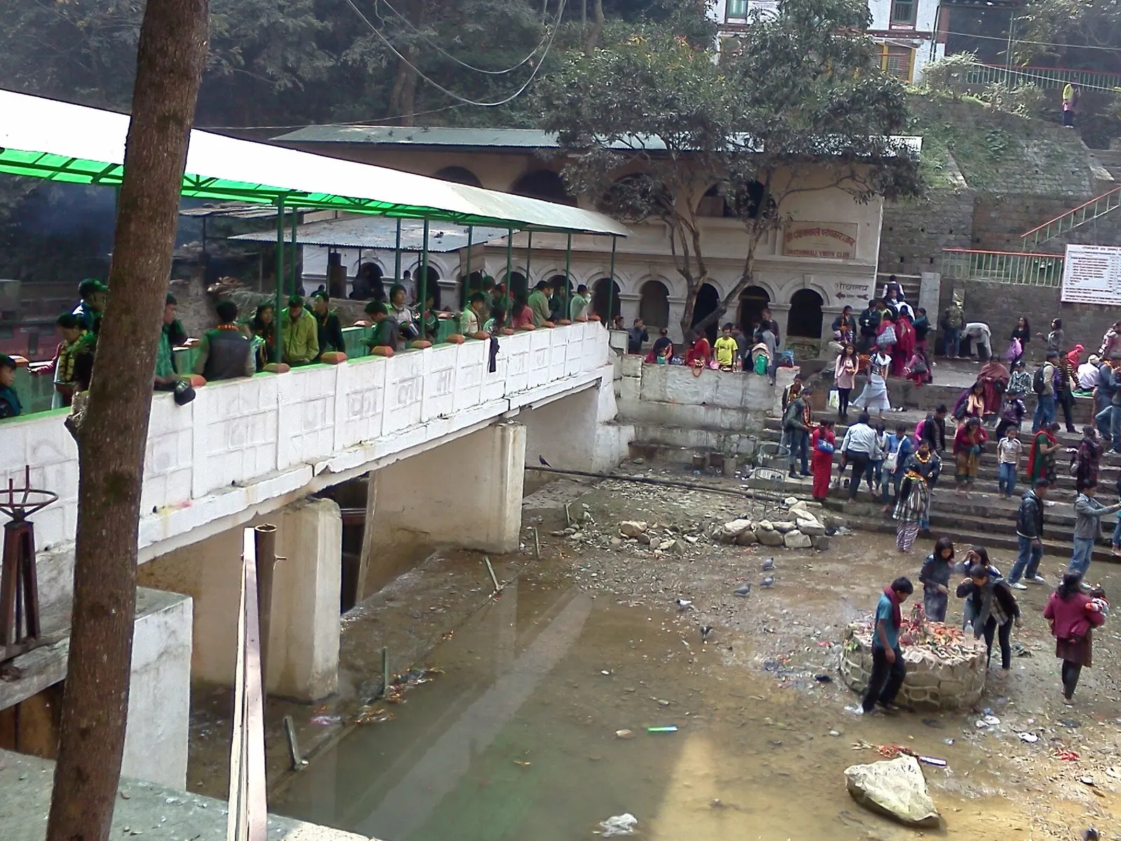
Temple, monastery or heritage site · 1,480 m
A Hindu temple to the goddess Kali in a forested gorge south of Pharping, known for its Tuesday and Saturday animal sacrifices.
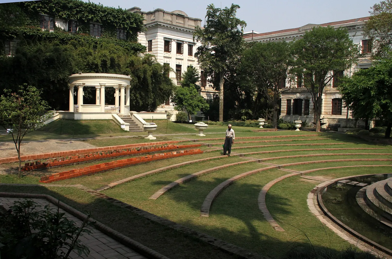
Temple, monastery or heritage site · 1,320 m
A restored 1920s Rana-era garden of pavilions, ponds and lawns at the edge of Thamel.
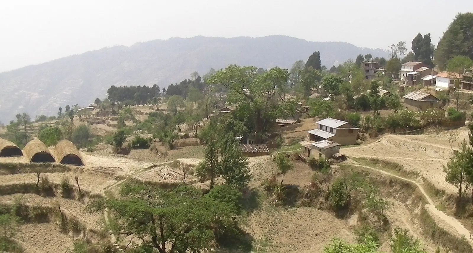
Viewpoint · 2,030 m
A quiet hill station just outside the Kathmandu Valley in Nuwakot, with Himalayan views, strawberry farms and memorial parks.
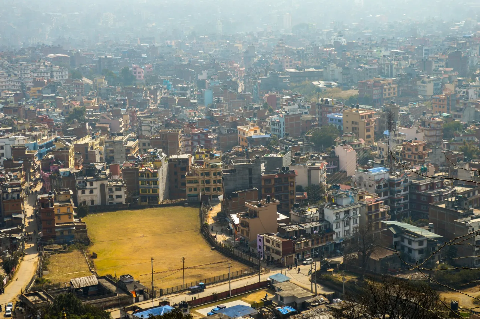
Town or village · 1,400 m
Nepal's capital, a sprawling valley city wrapped around a medieval Newar core, with major Hindu and Buddhist sites and the country's main airport.