
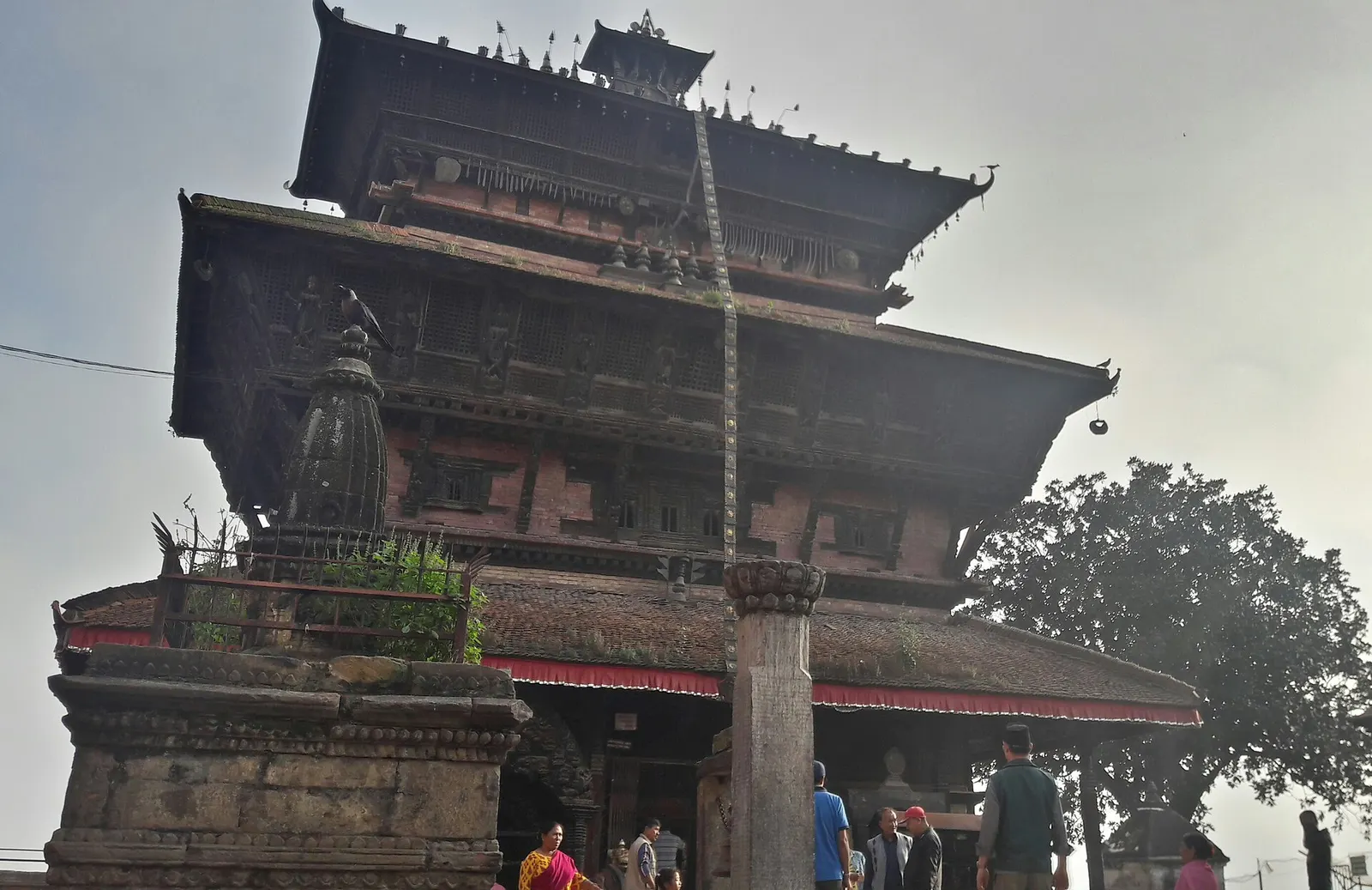
Town or village · 1,400 m
Kirtipur
An old Newar hill town on Kathmandu's south-western edge, with temples, valley views and a dramatic history of resistance.
Kathmanduठमेल
Kathmandu's traveller quarter of narrow lanes, guesthouses, trekking shops and cafes, a short walk north of the old city.
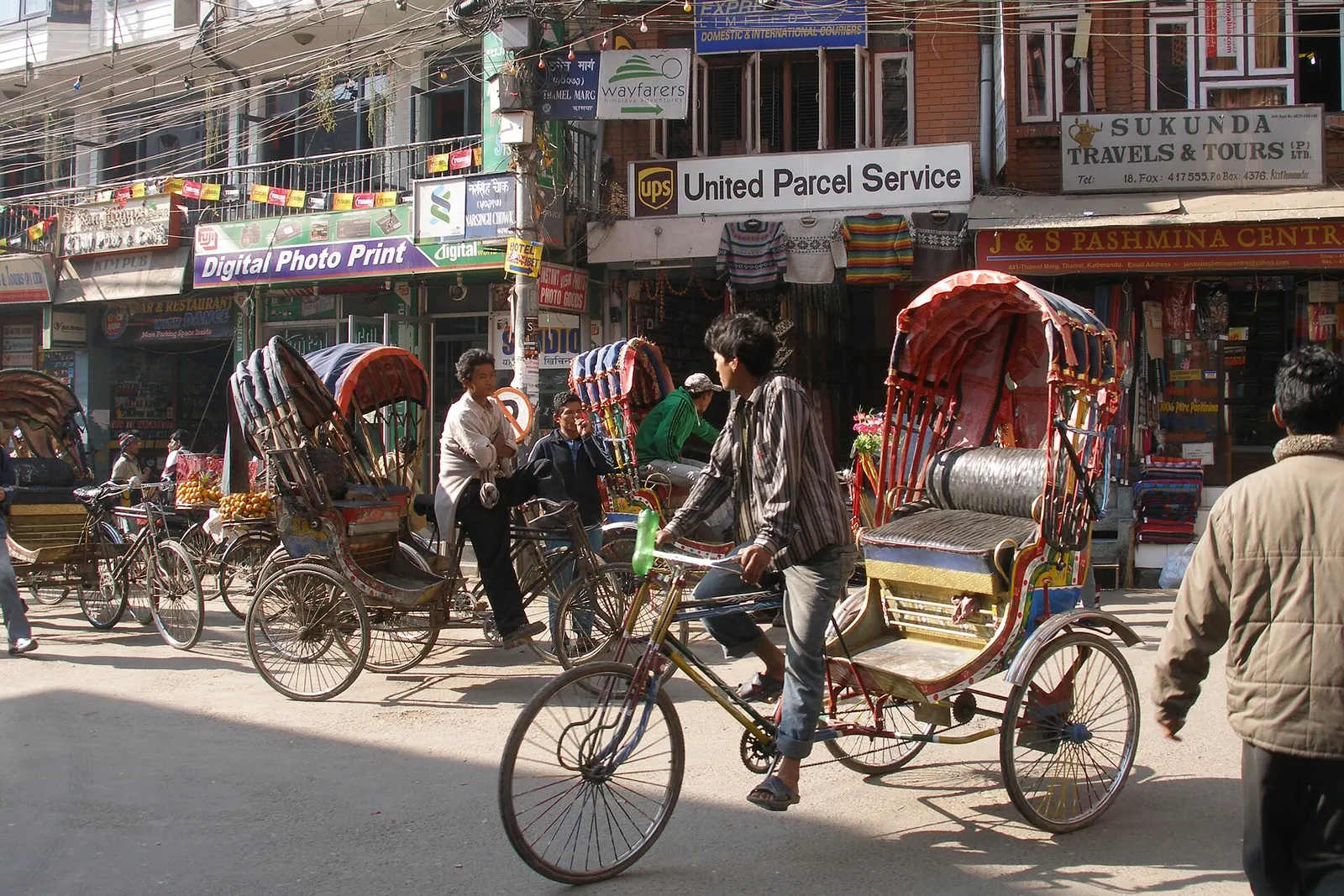
Thamel is the neighbourhood in north-central Kathmandu where most international visitors sleep, eat and organise their trips. It is a tight grid of lanes, many barely wide enough for a car, lined with guesthouses and hotels in every price range, trekking-gear shops, bookshops, money changers, travel agencies, bakeries and restaurants serving everything from dal bhat to wood-fired pizza. Within a few hundred metres you can rent a sleeping bag, buy a down jacket, book a flight to Lukla and arrange a trekking permit.
Its practical value is its location. Kathmandu Durbar Square lies about 1-1.5 km to the south through the old bazaar streets of Asan and Indra Chowk, the Garden of Dreams sits on Thamel's south-eastern edge, Kathesimbhu Stupa is a short walk south, and Swayambhunath is about 2-3 km west across the Bishnumati river. Taxis to Boudhanath, Pashupatinath and Patan are easy to find, and Tribhuvan International Airport is roughly 5-6 km to the east.
Thamel is also the city's busiest nightlife area, with live music bars and rooftop restaurants that stay open later than elsewhere in Kathmandu. It is noisy, crowded and commercial, and some travellers prefer to stay in quieter Boudha, Patan or the lanes of Jhochhen. But for a first or last night in Nepal, or for sorting out a trek, it is hard to beat for convenience.
The name comes from Tha Bahi, a Newar Buddhist monastery courtyard that still stands in the area, and the neighbourhood grew from an old Newar settlement on the northern edge of the walled city. Thamel's role as a traveller district began in the late 1960s and 1970s, when Kathmandu was a stop on the overland hippie trail and guesthouses opened to cater to long-staying visitors. As trekking and mountaineering expeditions grew from the 1980s onwards, outfitters and gear shops followed, and the area became the de facto base camp for many climbers before they fly or drive into the mountains.
Away from the main streets, small shrines, stupas and courtyards are reminders of the older city. The nearby lanes of Chhetrapati, Jyatha and Paknajol blend into Thamel and are equally full of lodgings. Most businesses are run by families from across Nepal, including many from mountain communities, so it is a good place to hear about routes and regions you may not have considered.
Walk to Durbar Square through the old bazaars
Head south via Kathesimbhu Stupa, Asan and Indra Chowk to Kathmandu Durbar Square, about 1-1.5 km of temples, spice stalls and market life.
Prepare for a trek
Compare gear prices, rent sleeping bags and down jackets, buy maps and arrange permits or guides through registered agencies.
Morning at the Garden of Dreams
Spend a quiet hour in the restored Rana-era garden on Thamel's edge before the streets get busy.
Find Tha Bahi
Look for the old monastery courtyard in the heart of the district, a reminder of the Newar settlement that predates tourism.
Forecast for 1,320 m. Conditions change fast in the mountains.
Weather data: MET Norway, licensed CC BY 4.0. A forecast, not a guarantee.
Mar-Apr, Oct-Dec
Hundreds of options from basic rooms to upmarket boutique hotels; the inner lanes are noisier at night, while side streets towards Paknajol and Chhetrapati are often quieter.
No partner stays are listed here yet. List a property.
Thamel is in central Kathmandu, about 5-6 km from Tribhuvan International Airport.
Nearest hub: Kathmandu
Nearest hub: Kathmandu. Times are typical ranges, not schedules, and vary with roadworks, weather and the season.
By airfrom Tribhuvan International Airportabout 0.3-0.8 hKathmandu (Tribhuvan International)
Thamel is about 5.5 km west of the terminal. Prepaid taxis from the arrivals desk and hotel pickups both work, and the transfer typically takes 20 to 45 minutes.
When to set off: arrivals are spread through the day; airport transfers are slowest in the late afternoon
By busfrom Kathmanduabout 0.2-0.5 hTourist and local buses
Microbuses and tempos from Ratna Park and Jamal stop on Kantipath at the eastern edge of Thamel, a five-minute walk from the centre; long-distance tourist coaches pick up on the same street.
When to set off: tourist coaches to Pokhara and Chitwan leave Kantipath between 06:30 and 07:30
By car or jeepfrom Tribhuvan International Airportabout 0.3-0.8 h
Taxis and ride-hailing apps such as Pathao and inDrive serve Thamel; agree the fare before setting off, as meters are rarely used.
Road: Sealed roads; vehicles are restricted or very slow in the core lanes, so the last stretch is often quicker on foot.
By motorbikefrom KathmanduEasy riding
Thamel is the usual place to hire a motorbike for longer trips; inside the lanes parking is scarce and the one-way pattern changes.
Road: Sealed city roads, congested and narrow in the core.
On footfrom Kathmandu Durbar Squareabout 0.3-0.5 h20-30 minutes from Kathmandu Durbar Square, about 1 to 1.5 km, flat
North through Indra Chowk and Asan, a flat walk through the old bazaar.
None needed
No permit or entry fee is needed to visit Thamel. It is where many travellers arrange trekking permits through registered agencies.
Verify before travel: permit rules and fees change. Checked 2026-10-06 against Nepal Tourism Board.
What this place is typically exposed to, and when. These are seasonal patterns, not a report on conditions now.
Floodingmoderate in a typical yearJun-Sep
Thamel's narrow lanes drain badly, and heavy monsoon afternoons between June and September typically leave ankle-deep water at the junctions; the valley's worst recorded rainfall, in late September 2024, flooded riverside parts of the city.
Othermoderate in a typical yearDec-Apr
Dry-season dust and haze are a normal feature of the Kathmandu valley, where measured PM2.5 has run several times the WHO guideline level. Visitors prone to asthma usually do better on early mornings and after rain.
Road blockageslow in a typical yearJun-Sep
About two thirds of the valley's rain falls between June and September, and sustained downpours typically waterlog junctions and slow valley roads, so short cross-city journeys can take much longer than planned.
Coldlow in a typical yearDec-Feb
Valley nights from December to February typically fall to around freezing, with morning fog burning off by mid-morning, and few buildings have heating.
Check current conditions before you travel
Roads, trails, passes and flights change with the weather and with roadworks, and nothing on this page describes conditions today. Before you set off, check the Department of Hydrology and Meteorology for weather and flood warnings, the Nepal Disaster Risk Reduction Portal for incidents, and the local authority, police or your licensed operator for road, trail and flight status.
About 5-6 km. A taxi or ride-hailing car usually takes 20-45 minutes depending on traffic.
Yes. Kathmandu Durbar Square is about 1-1.5 km south, a 20-30 minute walk through the old bazaars of Asan and Indra Chowk.
Yes. Thamel has dozens of gear shops that sell and rent sleeping bags, down jackets, poles and boots. Quality varies, so inspect items carefully.
It is generally busy and safe, but watch for traffic in narrow lanes, keep valuables secure in crowds and use registered taxis late at night.
Town or village · 1,400 m
An old Newar hill town on Kathmandu's south-western edge, with temples, valley views and a dramatic history of resistance.
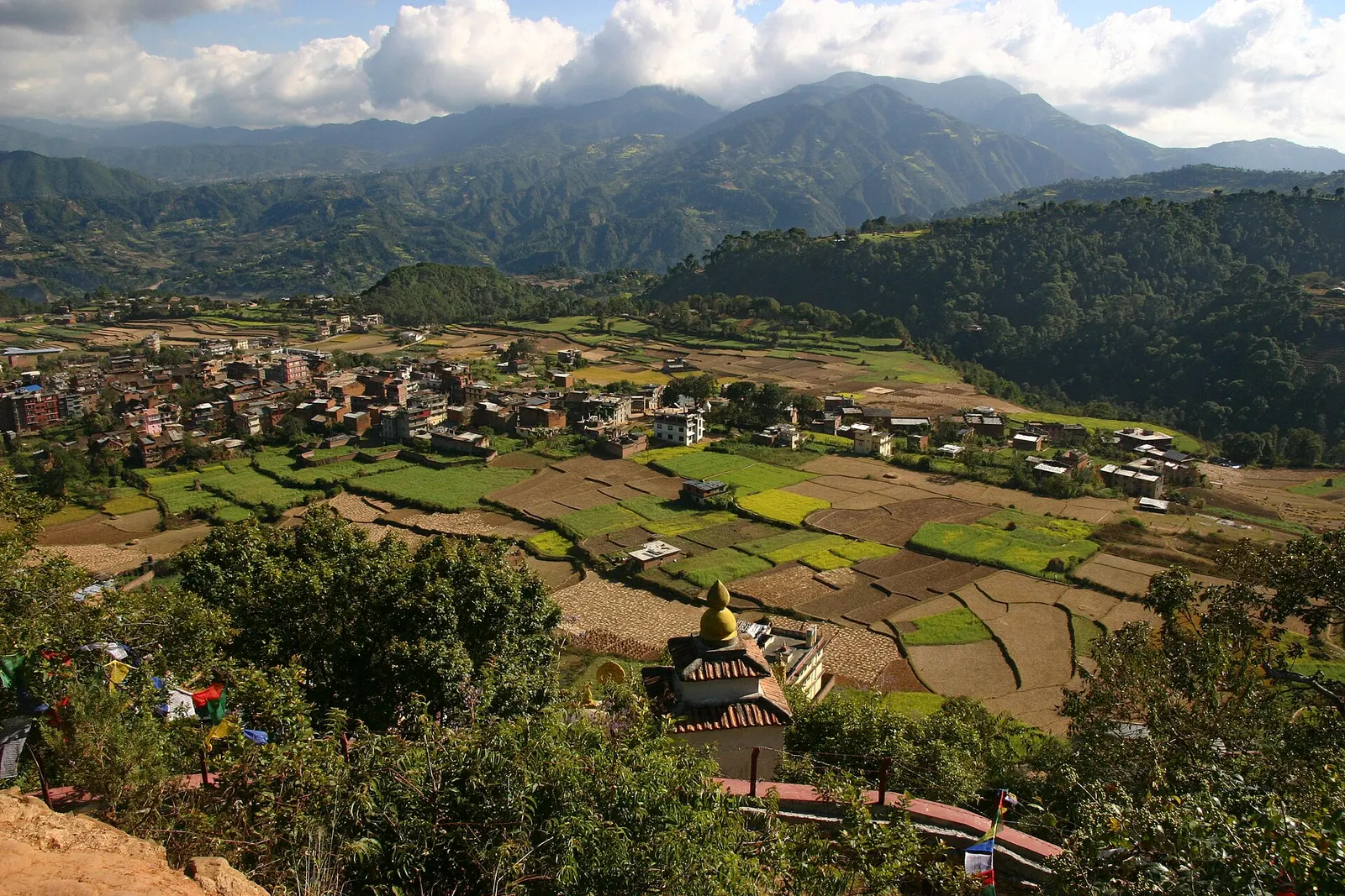
Town or village · 1,570 m
A small Newar town on the southern rim of the Kathmandu Valley, sacred to Vajrayana Buddhists for Guru Rinpoche's meditation caves.
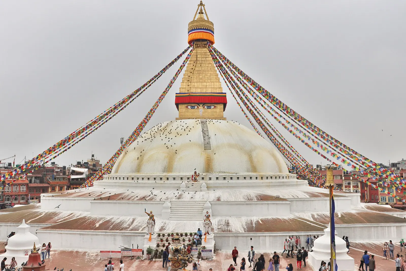
Temple, monastery or heritage site · 1,340 m
The great white stupa of north-east Kathmandu, centre of the valley's Tibetan Buddhist community and its many monasteries.
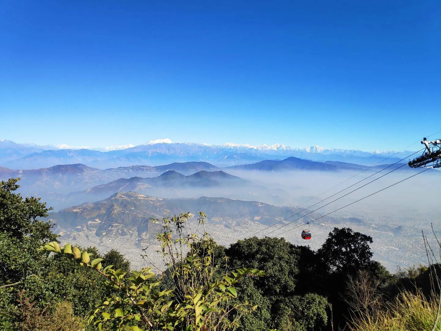
Viewpoint · 2,551 m
A hill on the Kathmandu Valley's south-western rim, reached by cable car, with a Shiva temple and wide Himalayan views.
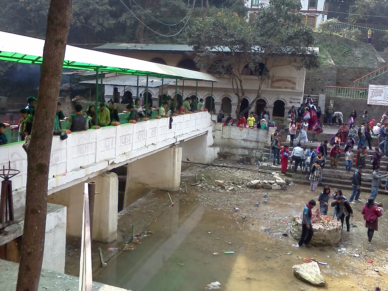
Temple, monastery or heritage site · 1,480 m
A Hindu temple to the goddess Kali in a forested gorge south of Pharping, known for its Tuesday and Saturday animal sacrifices.
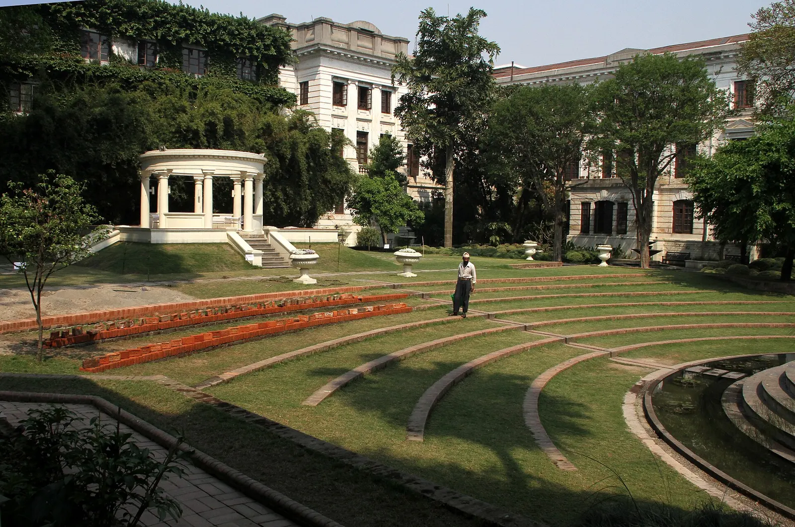
Temple, monastery or heritage site · 1,320 m
A restored 1920s Rana-era garden of pavilions, ponds and lawns at the edge of Thamel.
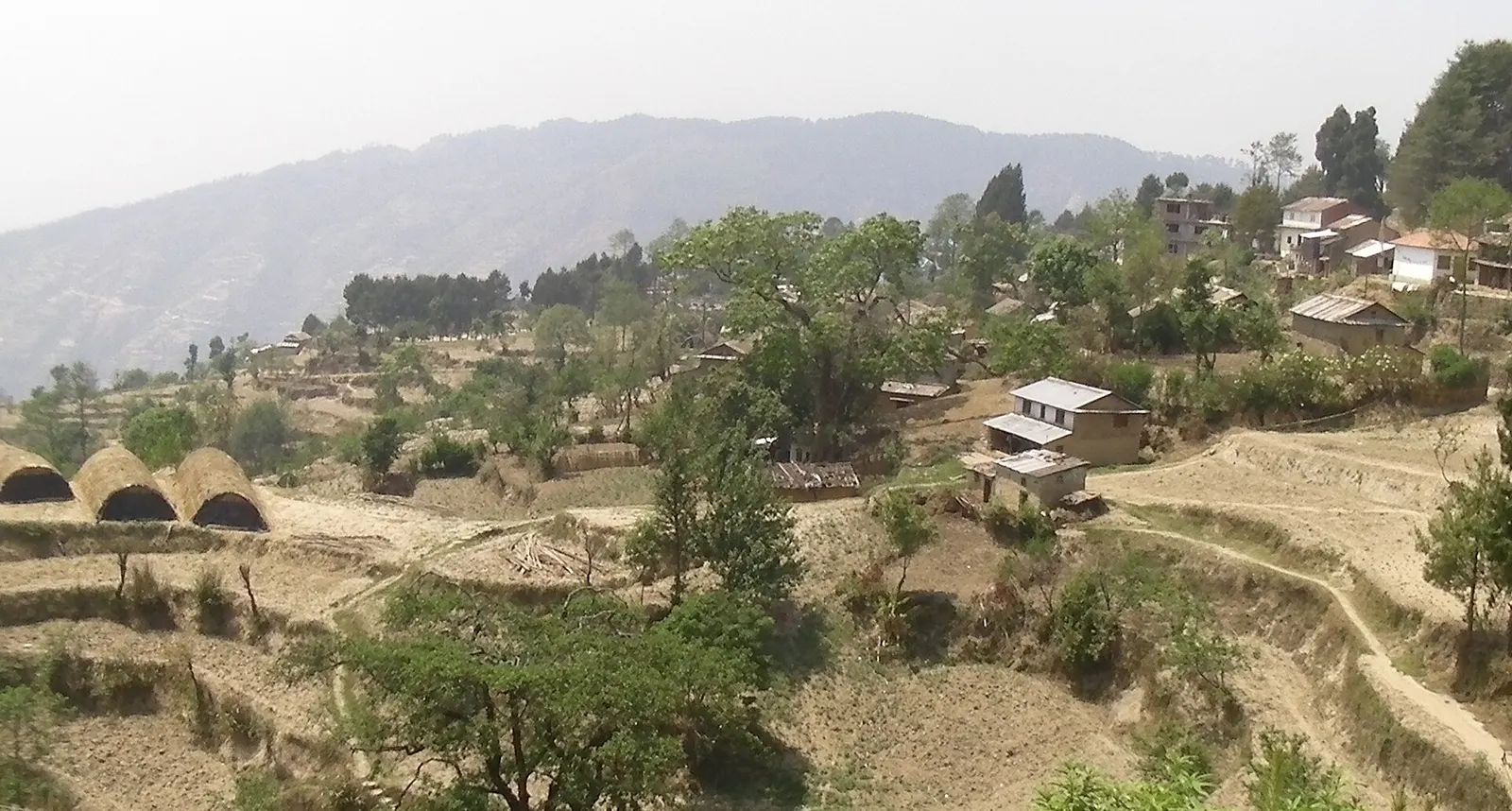
Viewpoint · 2,030 m
A quiet hill station just outside the Kathmandu Valley in Nuwakot, with Himalayan views, strawberry farms and memorial parks.
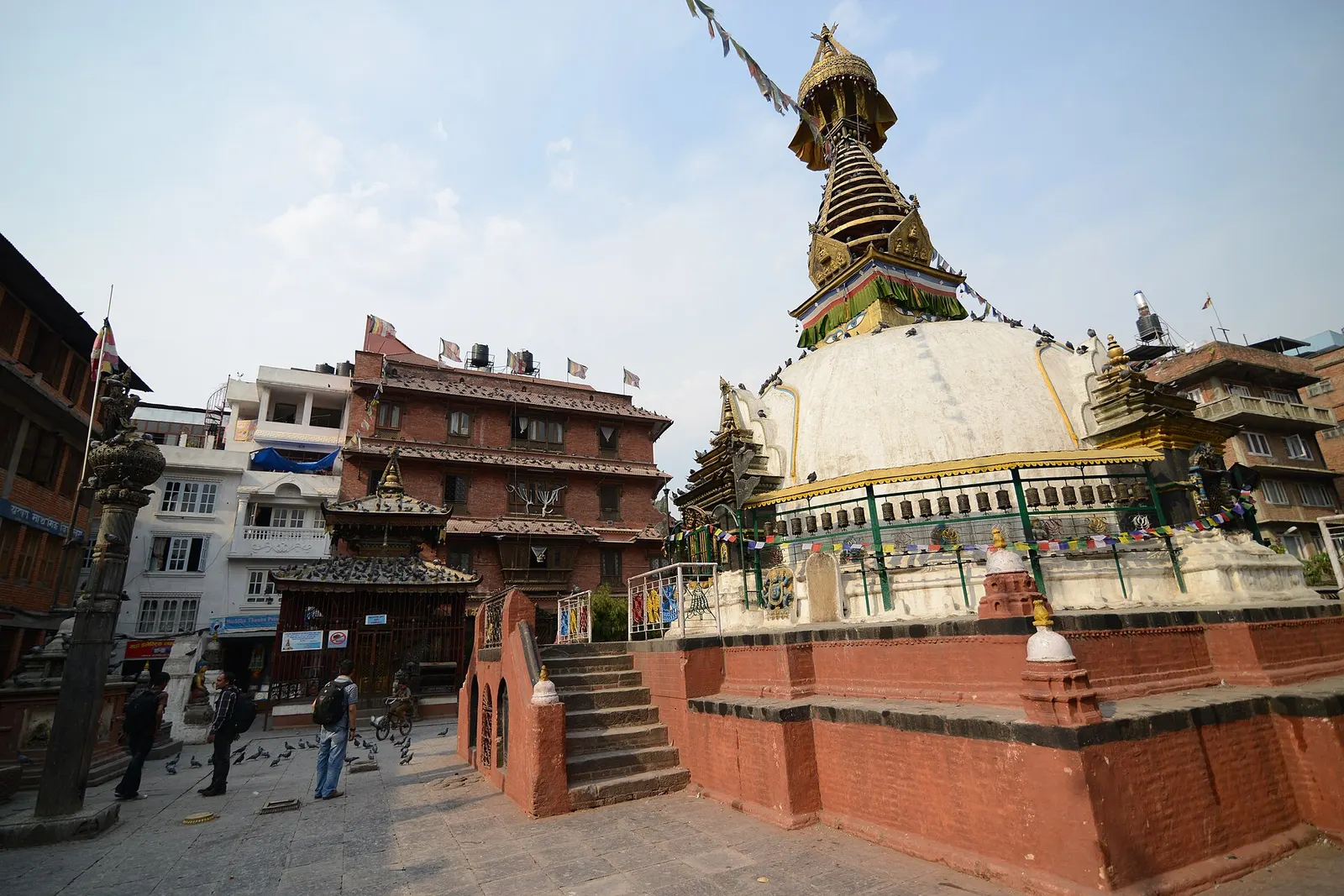
Temple, monastery or heritage site · 1,310 m
A centuries-old miniature of Swayambhunath in a quiet courtyard a few minutes' walk south of Thamel.
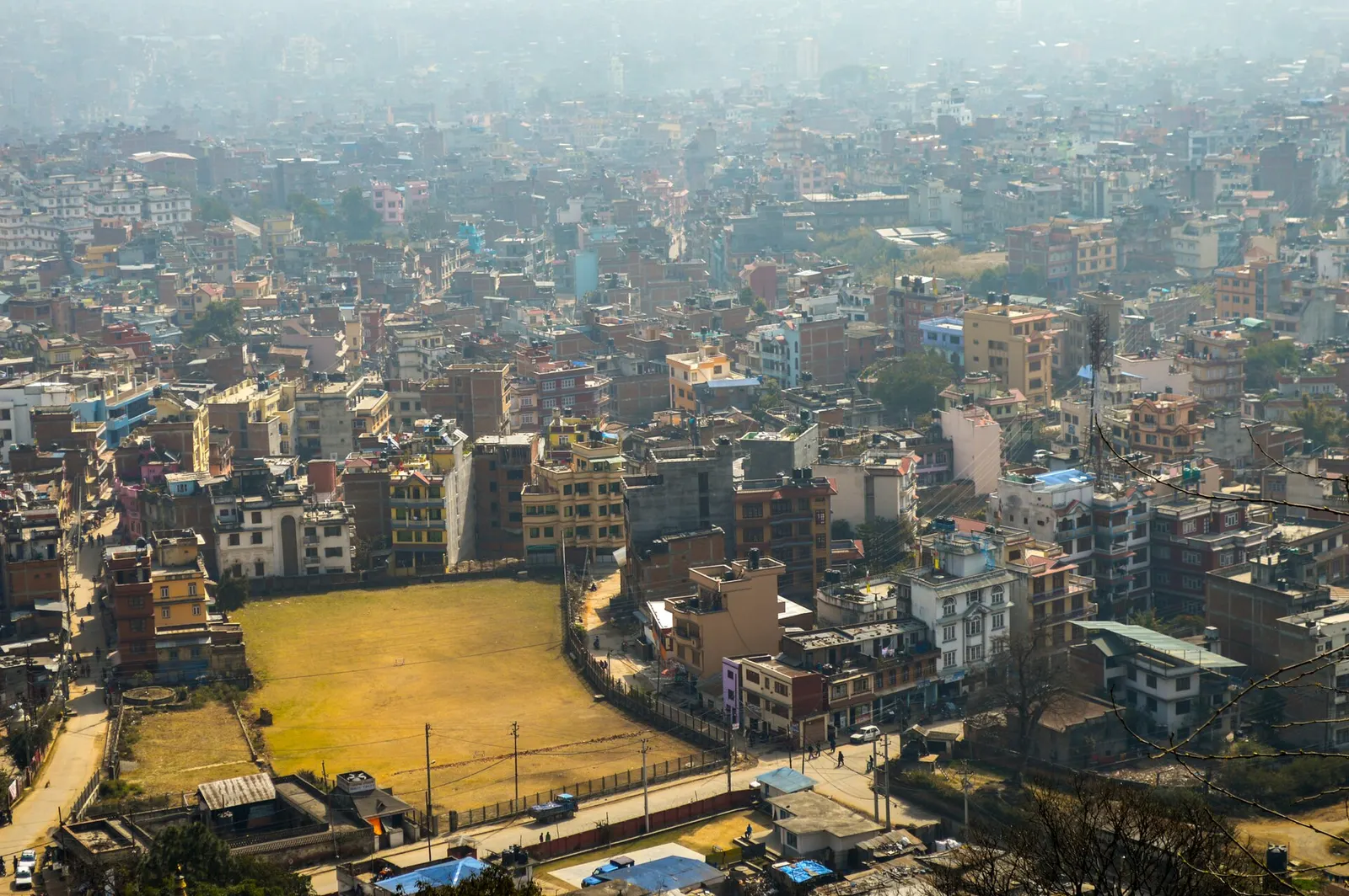
Town or village · 1,400 m
Nepal's capital, a sprawling valley city wrapped around a medieval Newar core, with major Hindu and Buddhist sites and the country's main airport.