
Town or village · 1,400 m
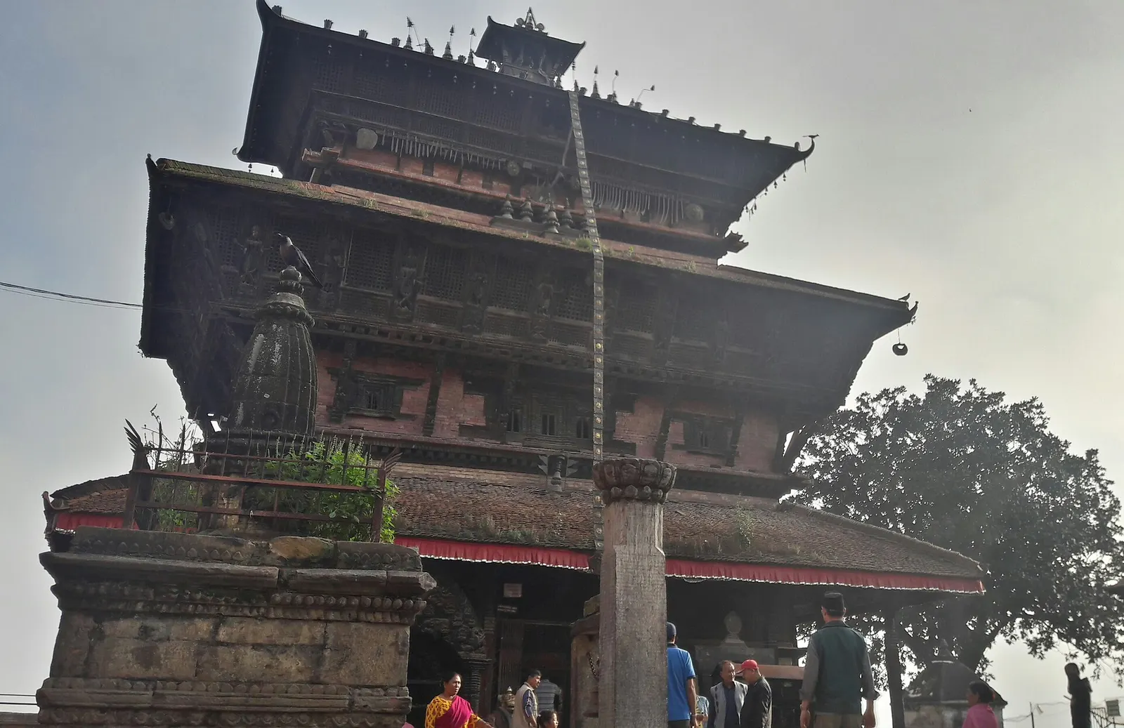
Kirtipur
An old Newar hill town on Kathmandu's south-western edge, with temples, valley views and a dramatic history of resistance.
Kathmanduफर्पिङ
A small Newar town on the southern rim of the Kathmandu Valley, sacred to Vajrayana Buddhists for Guru Rinpoche's meditation caves.
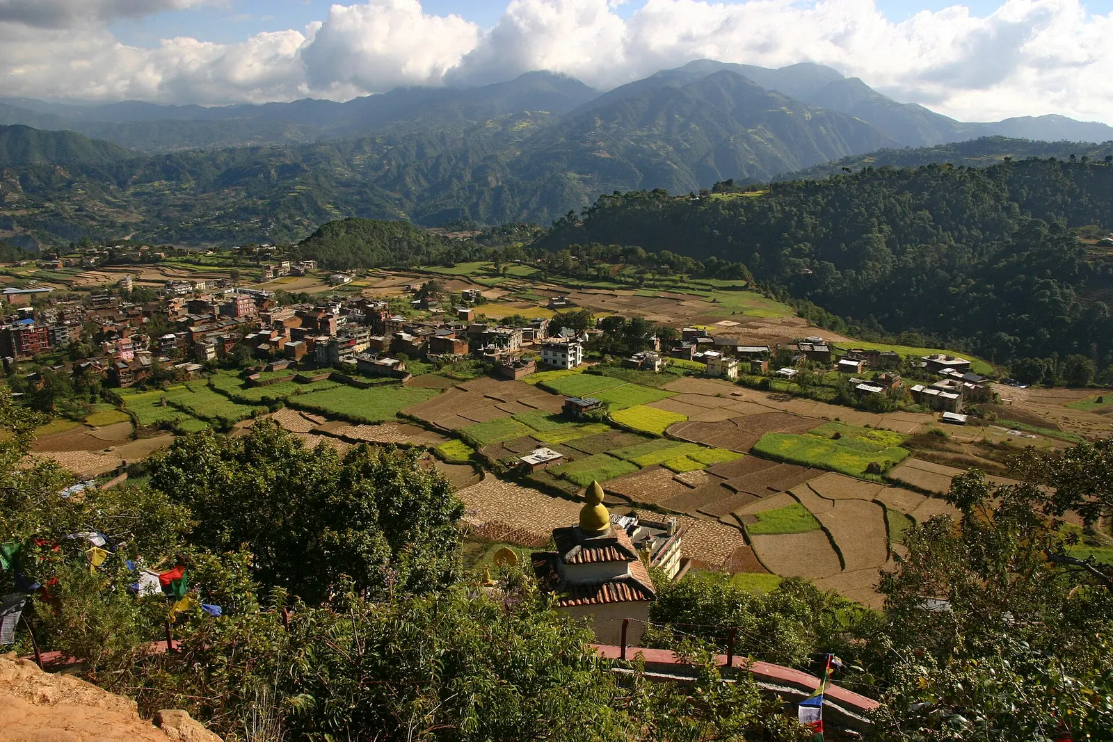
Pharping is a small town on a hillside above the Bagmati on the southern edge of the Kathmandu Valley, about 20-23 km from central Kathmandu and now part of Dakshinkali Municipality. It is one of the most important pilgrimage places in the valley for Tibetan and Newar Buddhists, who come to the caves where Padmasambhava, known as Guru Rinpoche, is said to have meditated, and it is surrounded by monasteries and retreat centres, most of them of the Nyingma school.
The main sites are close together. The Asura Cave, reached up a short steep path above the town, is a small cave shrine with images of Guru Rinpoche; pilgrims point out a handprint said to be his. Below the town, the Yanglesho cave sits above a group of ponds and shrines to Vishnu as Shesh Narayan, and between the two stands the Phamting Vajrayogini temple, a Newar shrine dating mainly from the 17th century. On the slopes around, larger monasteries such as Neydo Tashi Choling host many monks.
Pharping is usually visited together with the Hindu temple of Dakshinkali, about 1 km further south, and it makes a good half-day or full-day trip with a lunch stop in the town. Some visitors stay overnight in monastery guesthouses to attend morning prayers. The road also passes the gorge at Chobhar on the way from Kathmandu.
According to Tibetan Buddhist tradition, Padmasambhava meditated at Yanglesho with his consort Shakyadevi, a Nepali princess, and attained the realisation of mahamudra here in the 8th century; a story told by pilgrims says his practice was obstructed by spirits who brought drought and famine until teachings arrived from India. These accounts are religious tradition. The Vajrayogini temple is said to have been founded by the Pamtingpa brothers, disciples of the Indian masters Naropa and Maitripa, and is one of the main Vajrayogini temples of the valley.
Pharping is also an old Newar town with its own temples and festivals, and it was home to Nepal's first hydroelectric power station, built in 1911 under Rana prime minister Chandra Shumsher, which is now preserved. The Buddhist community grew significantly after the 1960s, when Tibetan lamas established retreat centres here.
Visit the Asura Cave
Climb about 10 minutes of steep steps above the town to the cave shrine, removing shoes before entering.
See Shesh Narayan and Yanglesho
Walk below the town to the ponds and Vishnu shrines, then up the stairs to the Yanglesho cave.
Continue to Dakshinkali
Walk or drive about 1 km south to the Dakshinkali temple, ideally on a non-sacrifice day if you prefer it quieter.
Attend morning prayers
Stay overnight in a monastery guesthouse to join or listen to the dawn puja.
Forecast for 1,570 m. Conditions change fast in the mountains.
Weather data: MET Norway, licensed CC BY 4.0. A forecast, not a guarantee.
Feb-Apr, Oct-Dec
Several monasteries run guesthouses, and there are simple lodges in the town.
No partner stays are listed here yet. List a property.
Pharping is about 20-23 km south of central Kathmandu on the Dakshinkali road via Chobhar.
Nearest hub: Kathmandu
Nearest hub: Kathmandu. Times are typical ranges, not schedules, and vary with roadworks, weather and the season.
By busfrom Kathmanduabout 1-1.5 hLocal buses
Local buses from the Ratna Park area run to Pharping, some continuing to Dakshinkali.
By car or jeepfrom Kathmanduabout 0.75-1.25 h
About 20 to 23 km south of the centre on the Dakshinkali road via Chobhar.
Road: Sealed but narrow and winding beyond Chobhar, with rough patches.
By motorbikefrom Kathmanduabout 0.7-1.2 hEasy riding
An easy hill run out of the valley, slippery in the monsoon.
Road: Sealed, narrow and winding with patchy sections south of Chobhar.
On footfrom Dakshinkali Templeabout 0.25-0.4 h15-20 minutes from Dakshinkali, about 1 km, uphill
A short uphill walk north from the Dakshinkali temple gate.
None needed
No entry fee is charged for Pharping town or its main caves; donations are welcome at shrines and monasteries.
Verify before travel: permit rules and fees change. Checked 2026-10-06 against Pharping, Wikivoyage.
What this place is typically exposed to, and when. These are seasonal patterns, not a report on conditions now.
Othermoderate in a typical yearDec-Apr
Dry-season dust and haze are a normal feature of the Kathmandu valley, where measured PM2.5 has run several times the WHO guideline level. Visitors prone to asthma usually do better on early mornings and after rain.
Landslideslow in a typical yearJun-Sep
The rim road south from Chobhar and the steep lanes up to the caves see small slips and slumped edges in the June to September rains.
Road blockageslow in a typical yearJun-Sep
Monsoon rain typically slows the Dakshinkali road and leaves the stone steps to the cave shrines slippery.
Coldlow in a typical yearDec-Feb
At about 1,570 m the village is a little cooler than the valley floor and December to February mornings are cold in unheated guesthouses and monastery rooms.
Check current conditions before you travel
Roads, trails, passes and flights change with the weather and with roadworks, and nothing on this page describes conditions today. Before you set off, check the Department of Hydrology and Meteorology for weather and flood warnings, the Nepal Disaster Risk Reduction Portal for incidents, and the local authority, police or your licensed operator for road, trail and flight status.
Take a taxi, about 45-75 minutes, or a local bus from the Ratna Park area, around 1-1.5 hours.
Tibetan Buddhist tradition holds that Guru Rinpoche meditated in its caves, Asura and Yanglesho, and attained realisation here.
About 1 km south of the town, a short walk or drive.
Town or village · 1,400 m
An old Newar hill town on Kathmandu's south-western edge, with temples, valley views and a dramatic history of resistance.
Town or village · 1,320 m
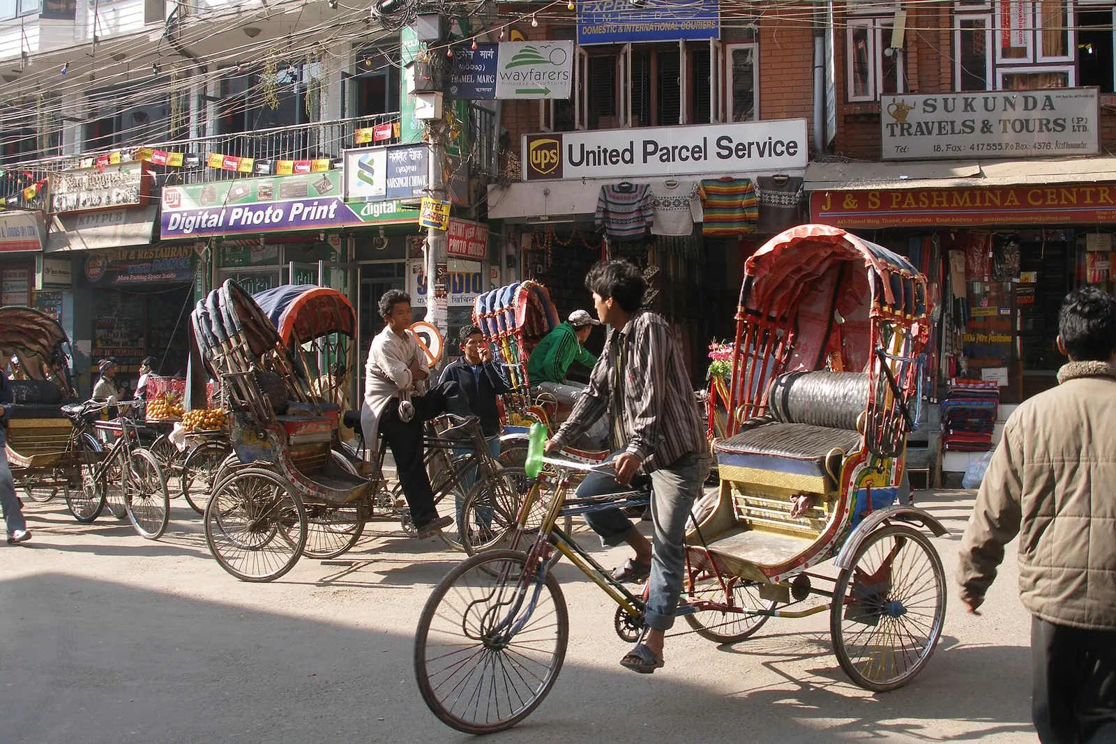
Kathmandu's traveller quarter of narrow lanes, guesthouses, trekking shops and cafes, a short walk north of the old city.
Temple, monastery or heritage site · 1,340 m
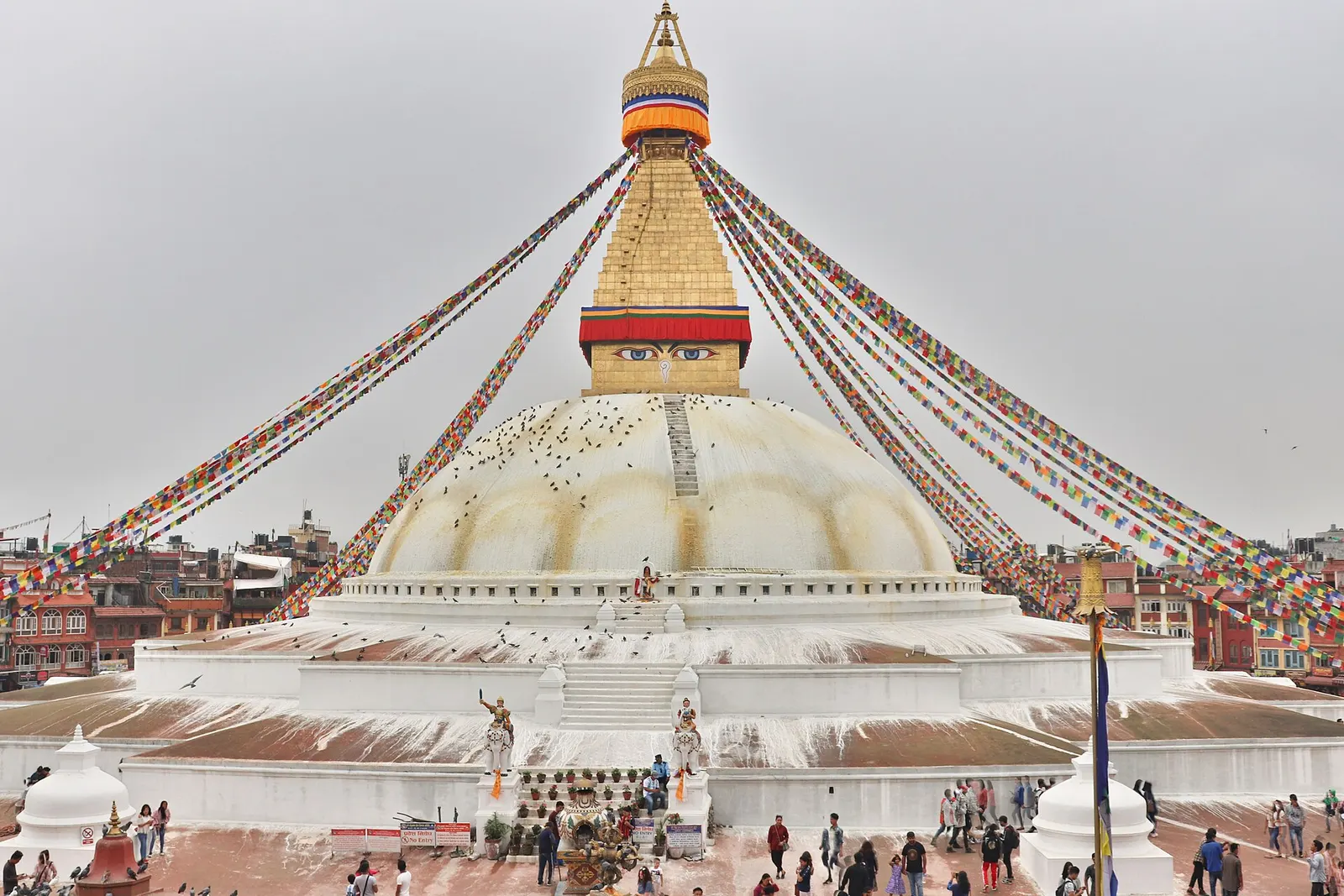
The great white stupa of north-east Kathmandu, centre of the valley's Tibetan Buddhist community and its many monasteries.
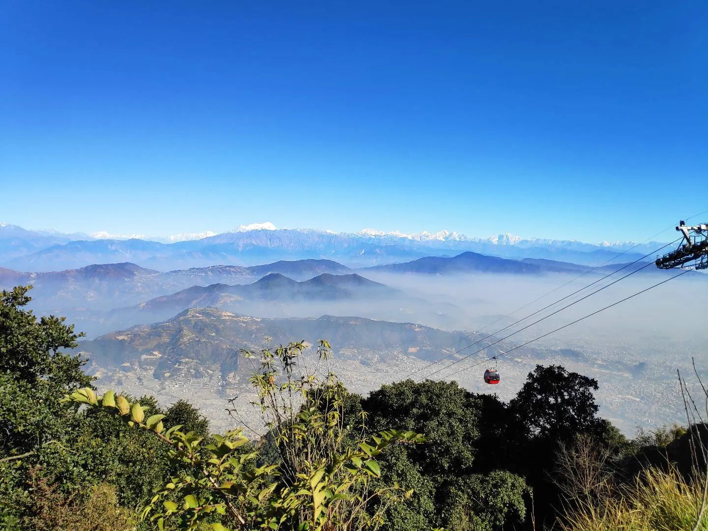
Viewpoint · 2,551 m
A hill on the Kathmandu Valley's south-western rim, reached by cable car, with a Shiva temple and wide Himalayan views.
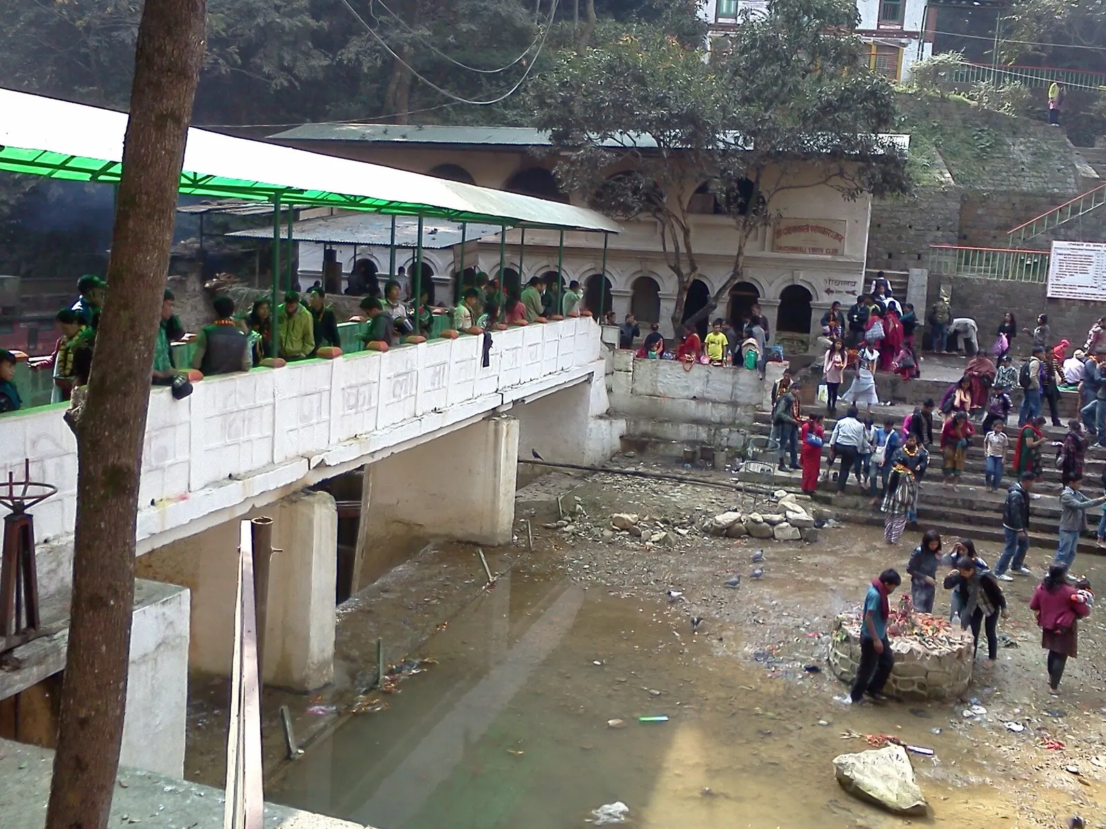
Temple, monastery or heritage site · 1,480 m
A Hindu temple to the goddess Kali in a forested gorge south of Pharping, known for its Tuesday and Saturday animal sacrifices.
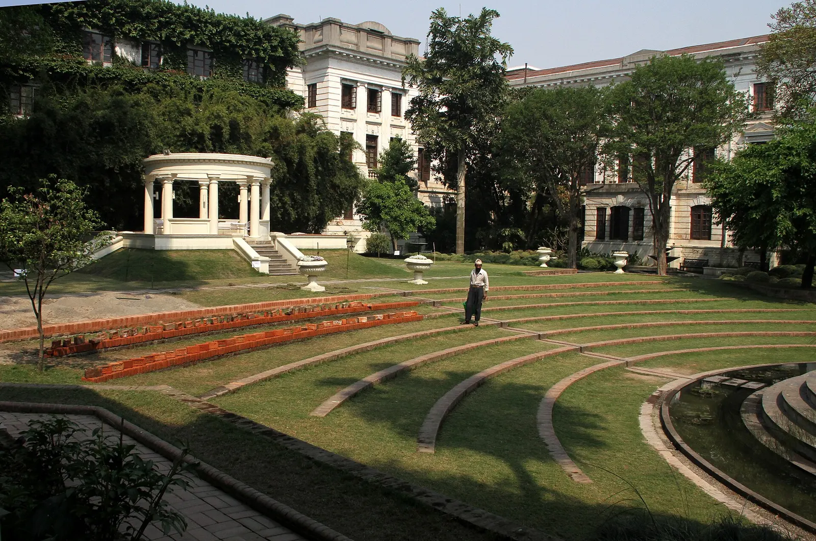
Temple, monastery or heritage site · 1,320 m
A restored 1920s Rana-era garden of pavilions, ponds and lawns at the edge of Thamel.
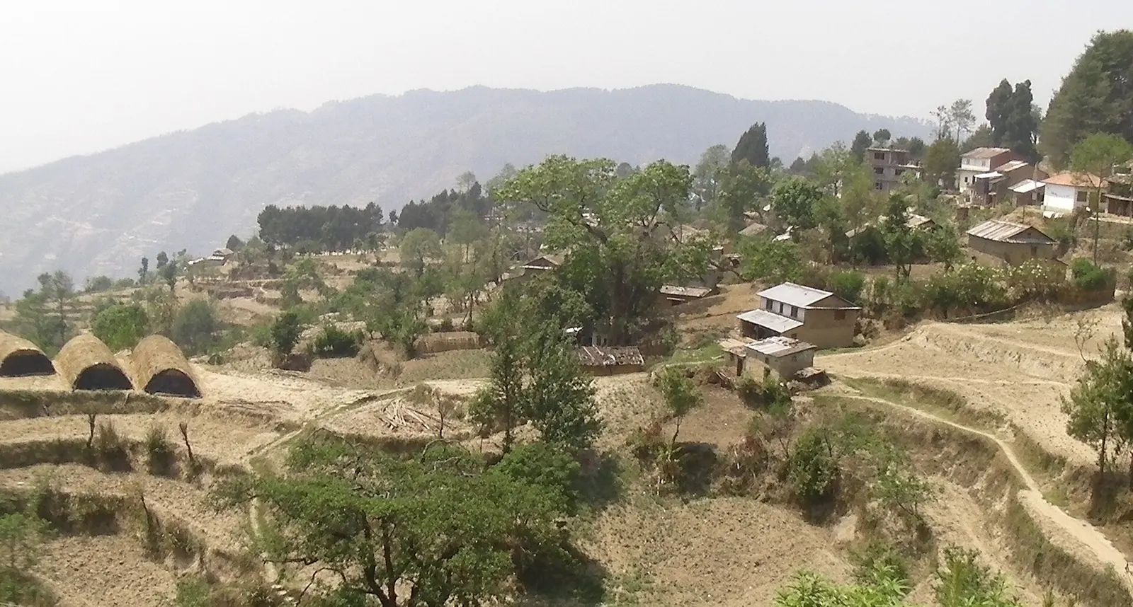
Viewpoint · 2,030 m
A quiet hill station just outside the Kathmandu Valley in Nuwakot, with Himalayan views, strawberry farms and memorial parks.
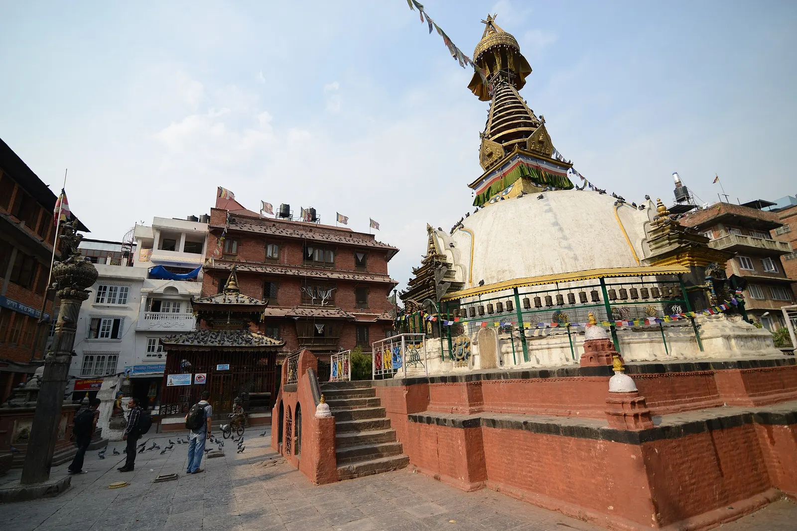
Temple, monastery or heritage site · 1,310 m
A centuries-old miniature of Swayambhunath in a quiet courtyard a few minutes' walk south of Thamel.
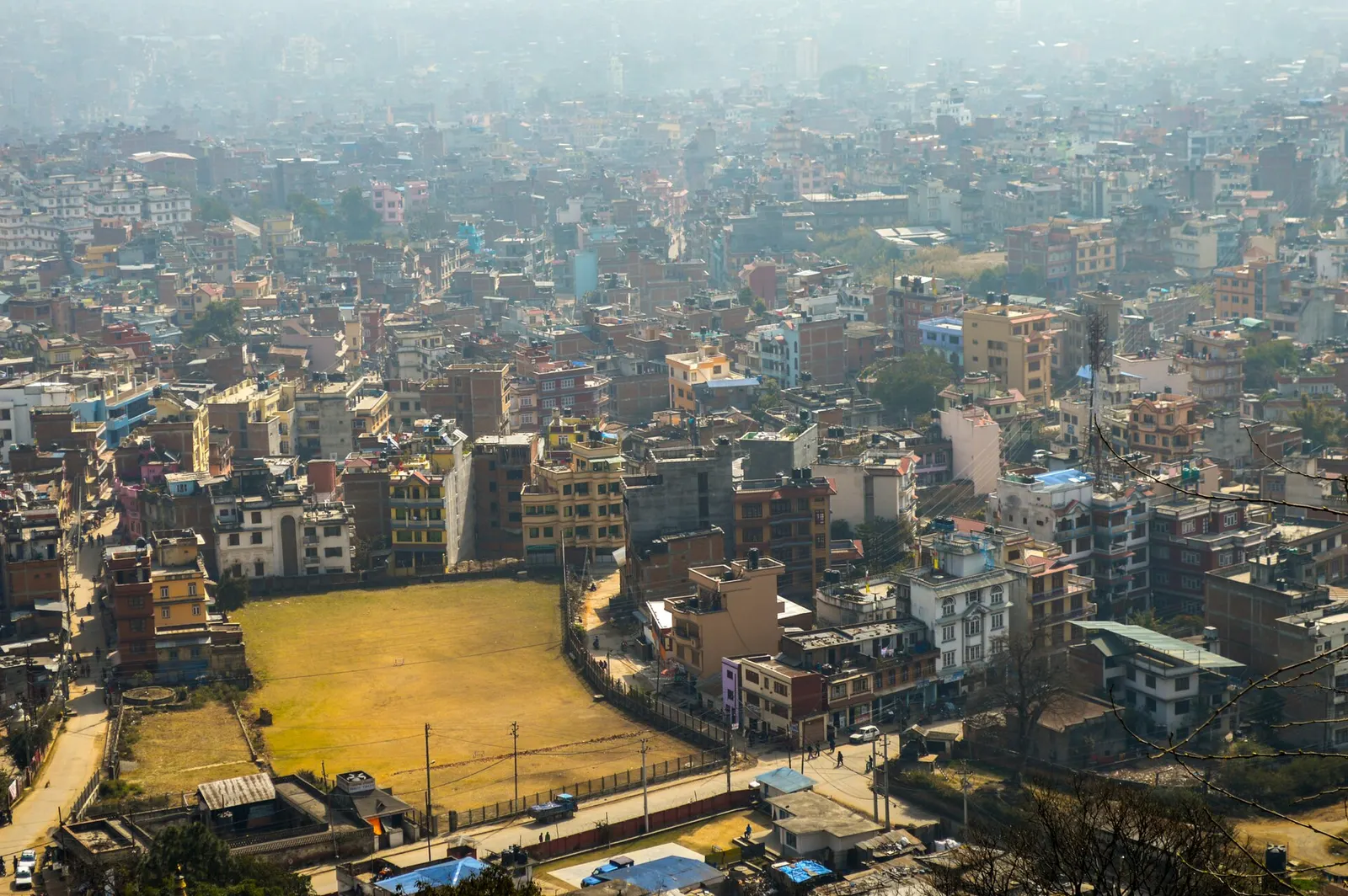
Town or village · 1,400 m
Nepal's capital, a sprawling valley city wrapped around a medieval Newar core, with major Hindu and Buddhist sites and the country's main airport.
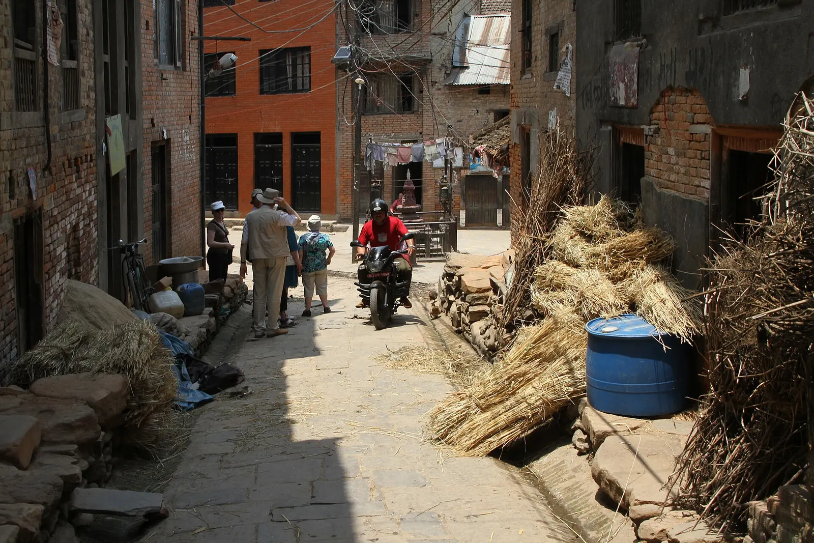
Town or village · 1,340 m
A traditional Newar farming village south of Patan, known for mustard-oil pressing and the Rudrayani temple.
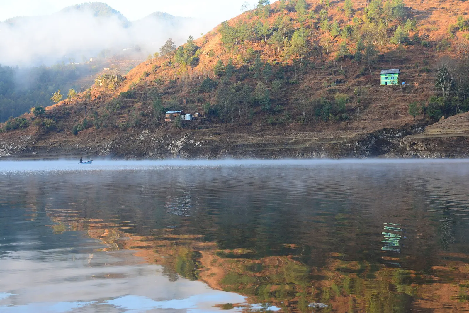
Lake · 1,530 m
A long hydropower reservoir in the Makwanpur hills south-west of Kathmandu, with boating, lakeside villages and forested shores.
Town or village · 1,800 m
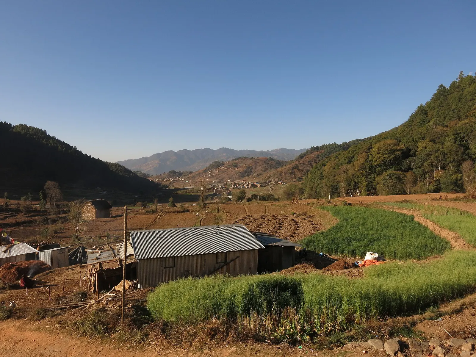
A historic Newar farming valley behind the Chandragiri ridge, on the old foot route between Kathmandu and the plains.