

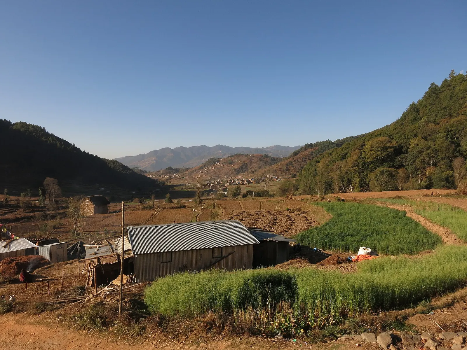
Town or village · 1,800 m
Chitlang
A historic Newar farming valley behind the Chandragiri ridge, on the old foot route between Kathmandu and the plains.
Makwanpurकुलेखानी (इन्द्र सरोवर)
A long hydropower reservoir in the Makwanpur hills south-west of Kathmandu, with boating, lakeside villages and forested shores.
This is the Kulekhani dam and its reservoir, Indra Sarowar, in Makwanpur District; the lakeside village of Markhu has its own page.
Higher seasonal exposure: landslides (Jun-Sep), road blockages (Jun-Sep).
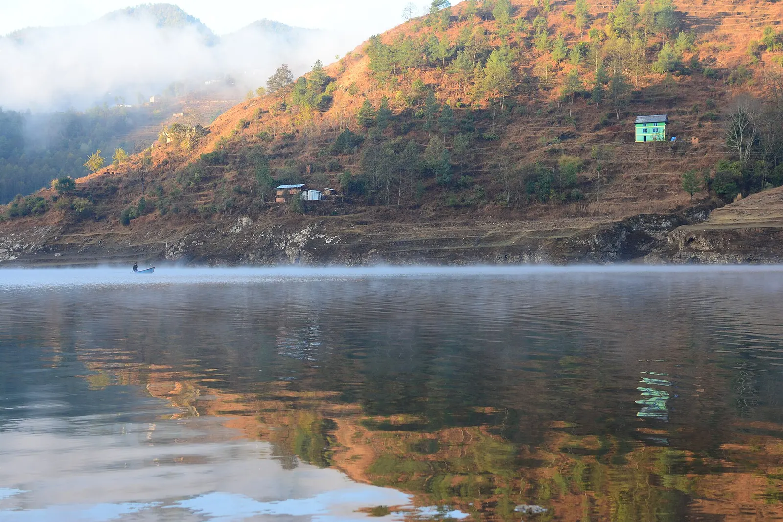
Kulekhani is the rock-fill dam and storage reservoir on the Kulekhani river in Indrasarowar Rural Municipality, part of the Makwanpur hills just beyond Kathmandu's south-western rim. The lake behind the dam, Indra Sarowar, winds for several kilometres between pine-covered hills at about 1,530 m and is one of the largest artificial lakes in Nepal.
For visitors the reservoir is a scenic weekend outing: boats and pedal boats go out from the shore at Markhu, roadside stalls serve fried fish from the lake, and quiet roads and trails follow the shoreline. The dam itself, about 114 m high, can be seen from the road near its southern end.
Within the Makwanpur hub, Kulekhani links the other places: Markhu sits on its northern shore, Chitlang is a short walk or drive up the valley, and Daman lies further west on the Tribhuvan Rajpath.
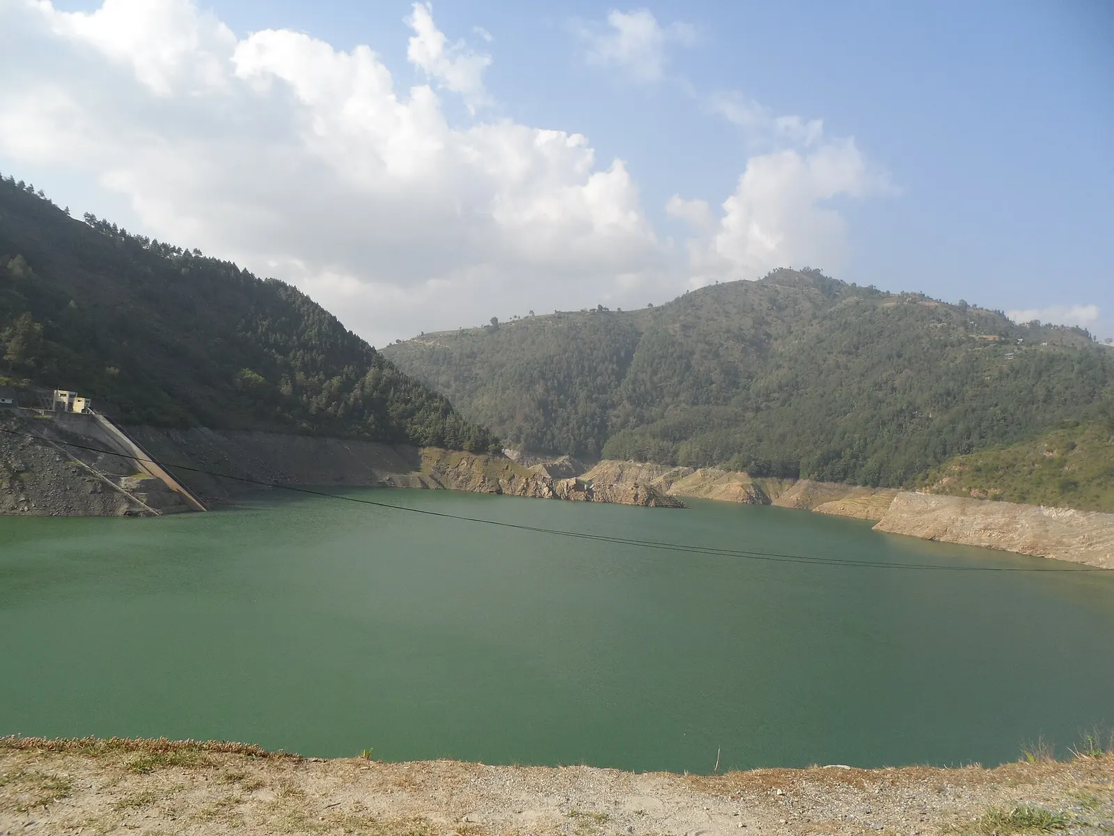
Construction began in 1977 with funding from the World Bank and other lenders, and the Kulekhani I power station was commissioned in 1982, followed by Kulekhani II in 1986 and Kulekhani III, completed around 2019. Water travels through tunnels to underground power stations on the Rapti side of the hills, giving a combined capacity of around 106 MW. As Nepal's main seasonal storage scheme, it helps meet electricity demand in the dry season.
Filling the reservoir submerged farmland and homes, and families were relocated to the surrounding slopes. Since then, fishing, boating and small hotels have become a source of income for villages such as Markhu. The area's residents include Tamang, Newar, Brahmin and Chhetri communities.
Boating
Hire a rowing or pedal boat at Markhu for a short trip on the lake; life jackets should be provided.
Shoreline walk or drive
Follow the road along the reservoir towards the dam for views of the water and the surrounding hills.
Combine with Chitlang
Walk between Chitlang and the lake in a few hours as part of a weekend loop.
Forecast for 1,530 m. Conditions change fast in the mountains.
Weather data: MET Norway, licensed CC BY 4.0. A forecast, not a guarantee.
Oct-Apr
Most accommodation is at Markhu on the northern shore; homestays are also available in Chitlang.
No partner stays are listed here yet. List a property.
Kulekhani is about 2-3 hours by road from Kathmandu, via Pharping and the Dakshinkali road or via Chitlang.
Nearest hub: Kathmandu
Nearest hub: Kathmandu. Times are typical ranges, not schedules, and vary with roadworks, weather and the season.
By car or jeepfrom Kathmanduabout 2-3 h
The usual approach is 40 to 50 km via Pharping and the Dakshinkali road to Markhu on the shore; the Thankot and Chitlang route takes a similar time on a steeper road.
Road: Sealed for much of the way with rough hill sections near the lake; a jeep is the safer choice in the monsoon.
When to set off: leave Kathmandu by 08:00 if you want time on the water
By motorbikefrom Kathmanduabout 2-3 hModerate riding
A long narrow hill ride with broken sections, best ridden in the dry months.
Road: Narrow hill roads, part sealed and part rough, slippery in the monsoon.
On footfrom Chitlangabout 2-3 h2-3 h from Chitlang down to the Markhu shore
The walk down from Chitlang reaches the Markhu shore of the reservoir.
None needed
No permit is needed to visit the lake. Boat hire is paid locally; the dam and power station areas are restricted.
Verify before travel: permit rules and fees change. Checked 2026-10-06 against Kulekhani Reservoir (Wikipedia).
What this place is typically exposed to, and when. These are seasonal patterns, not a report on conditions now.
Landslideshigh in a typical yearJun-Sep
The ridge road over Chandragiri and the rural roads down to the Kulekhani basin are steep and partly unsealed, and monsoon rain typically triggers slips and washouts between June and September.
Road blockageshigh in a typical yearJun-Sep
Hill roads in this corner are the weak link in the monsoon: after heavy rain the Chandragiri ridge road and the Kulekhani approaches are typically rutted and sometimes impassable to cars.
Coldlow in a typical yearDec-Feb
December to February days are cool and dry and nights are cold by the water, with mist on the reservoir in the early morning.
Otherlow in a typical yearJun-Sep
Boating on the reservoir is weather-dependent and is typically limited in monsoon storms and poor visibility.
Check current conditions before you travel
Roads, trails, passes and flights change with the weather and with roadworks, and nothing on this page describes conditions today. Before you set off, check the Department of Hydrology and Meteorology for weather and flood warnings, the Nepal Disaster Risk Reduction Portal for incidents, and the local authority, police or your licensed operator for road, trail and flight status.
Indra Sarowar is the reservoir created by the Kulekhani dam in Makwanpur, one of the largest artificial lakes in Nepal.
Drive about 2-3 hours via Pharping and the Dakshinkali road, or via Thankot and Chitlang. Most visitors head to Markhu on the lakeshore.
Yes, boats can be hired at Markhu. Wear the life jacket provided.
Town or village · 1,800 m
A historic Newar farming valley behind the Chandragiri ridge, on the old foot route between Kathmandu and the plains.
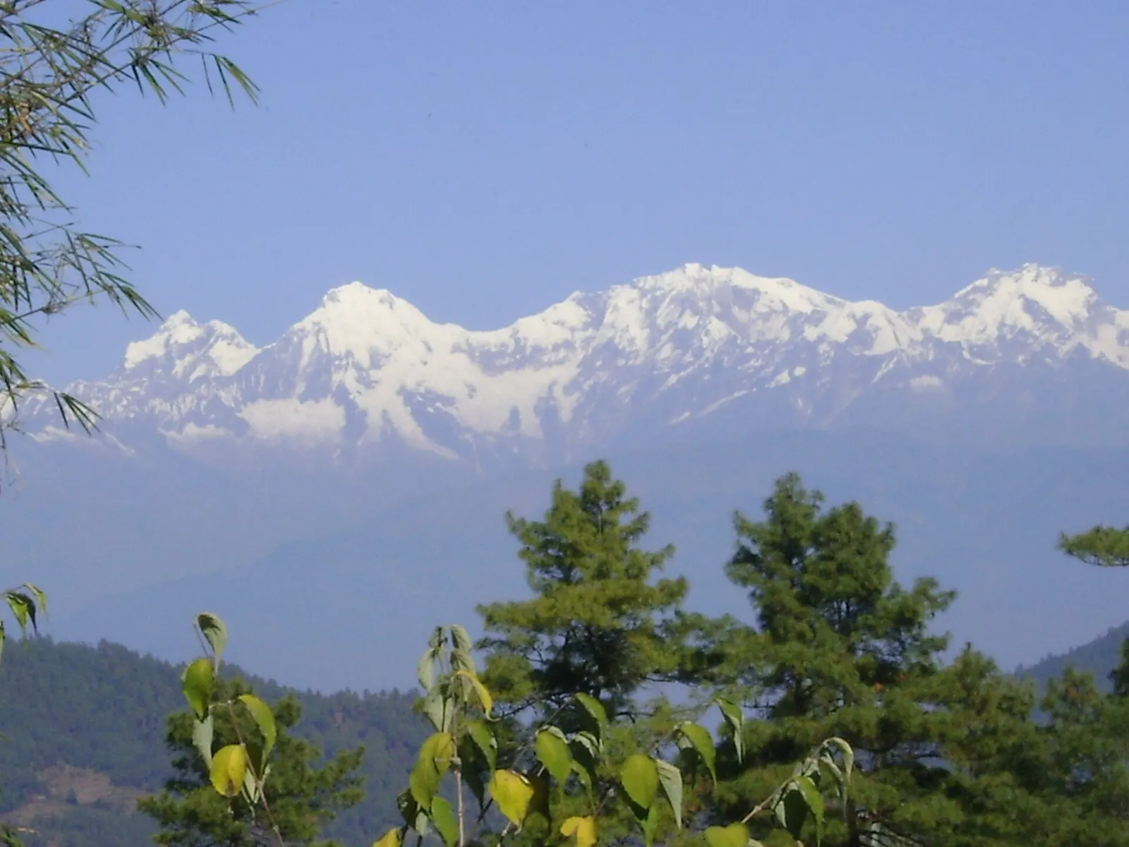
Viewpoint · 2,322 m
A ridge-top stop on the old Tribhuvan Rajpath with a wide Himalayan panorama and rhododendron forest.
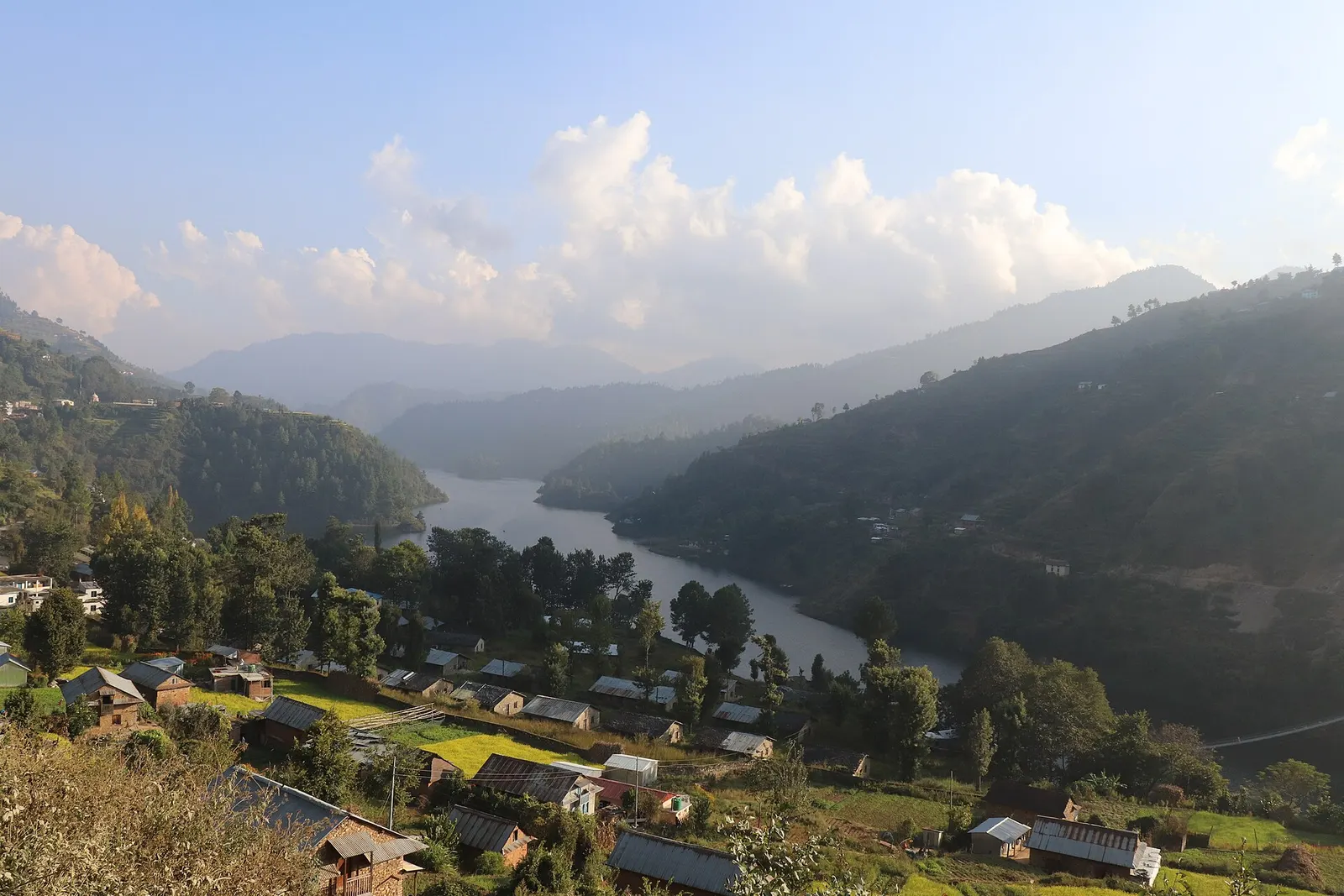
Town or village · 1,550 m
A lakeside village on the Indra Sarowar reservoir, the base for boating and fish lunches at Kulekhani.
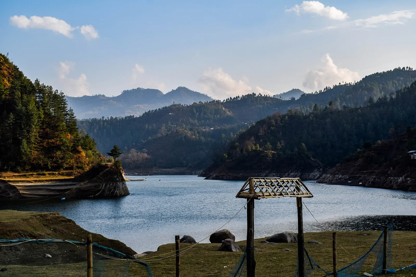
Valley or region
Mahabharat hills just over the south-west rim of the Kathmandu Valley: a Newar valley, a hydropower lake and a high viewpoint on the old Rajpath.
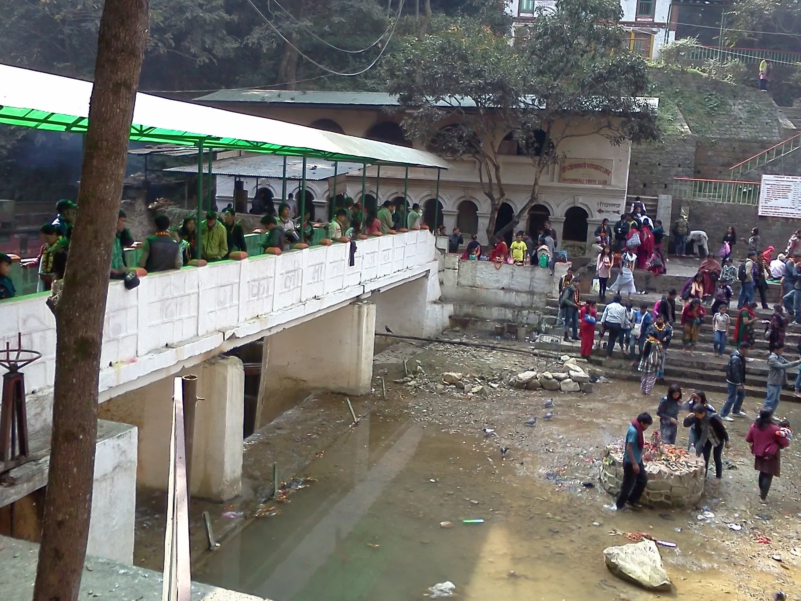
Temple, monastery or heritage site · 1,480 m
A Hindu temple to the goddess Kali in a forested gorge south of Pharping, known for its Tuesday and Saturday animal sacrifices.