
Town or village · 1,570 m
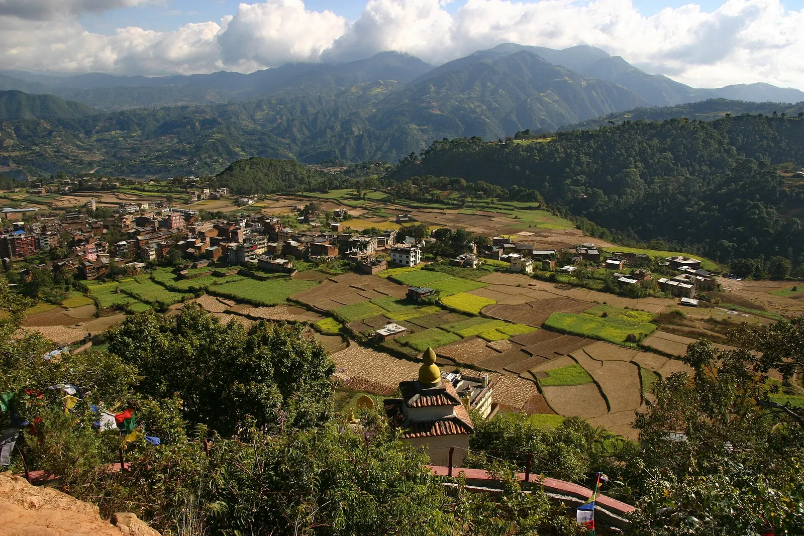
Pharping
A small Newar town on the southern rim of the Kathmandu Valley, sacred to Vajrayana Buddhists for Guru Rinpoche's meditation caves.
Kathmanduकीर्तिपुर
An old Newar hill town on Kathmandu's south-western edge, with temples, valley views and a dramatic history of resistance.
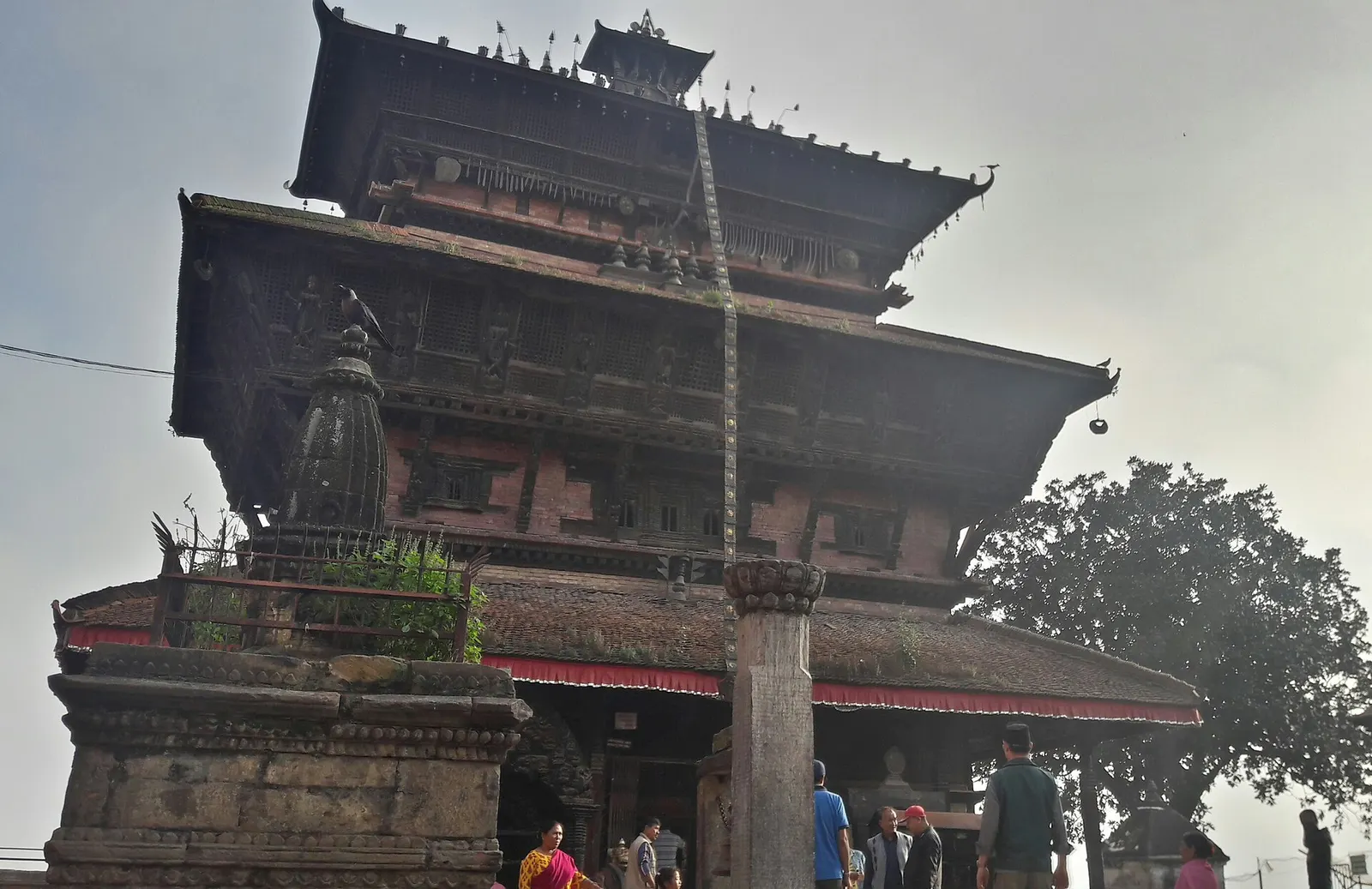
Kirtipur sits on a long ridge about 5 km south-west of central Kathmandu, above the campus of Tribhuvan University. The old town on top of the hill is a quiet maze of brick lanes, small squares, ponds and temples, far less visited than the Durbar Squares even though it is only 20-40 minutes from Thamel. From its edges there are wide views back across the valley to the city and, on clear days, to the Himalaya beyond.
The main sights are the Bagh Bhairab temple, a three-tiered temple to Bhairab in the form of a tiger, its walls hung with old swords and shields; the Uma Maheshwar temple at the highest point of the town, built in 1673; and the Chilancho stupa and monastery on the southern hill. A walk linking them, with stops in the squares and for a Newar meal, fills a relaxed half day.
As part of Kathmandu district, Kirtipur combines well with the Chobhar gorge and its temples just to the south-east, or with Khokana and Bungamati across the Bagmati in Lalitpur. Chandragiri hill and its cable car are about 8-10 km to the west.
Kirtipur's recorded history goes back to the 12th century, and it was a town within the Malla kingdom of Patan. It is best known for the Battle of Kirtipur: during his campaign to unify Nepal, Prithvi Narayan Shah of Gorkha attacked the hilltop town several times, and it fell in 1767 after a long siege. Contemporary and later accounts say that he then had the noses of the town's adult men cut off as punishment for its resistance, a grim episode remembered locally. The capture of Kirtipur opened the way for the fall of Kathmandu, Patan and Bhaktapur.
The town is still a centre of Newar culture, and its old core is home to Newar families, while newer neighbourhoods below house students and staff of Tribhuvan University, the country's oldest and largest university. Newar restaurants in the old town serve dishes such as samay baji, chatamari and yomari.
Walk the old town
Climb from the main road and loop through Bagh Bhairab, the town square, Uma Maheshwar and Chilancho in two to three hours.
Try Newar food
Order a samay baji set or chatamari in one of the traditional restaurants near the square.
Visit Chobhar gorge
Continue south-east to the gorge through which, in legend, Manjushri drained the valley lake.
Combine with Chandragiri
Take a taxi 8-10 km west to the Chandragiri cable car for mountain views.
Forecast for 1,400 m. Conditions change fast in the mountains.
Weather data: MET Norway, licensed CC BY 4.0. A forecast, not a guarantee.
Mar-Apr, Oct-Dec
A few hotels and guesthouses near the old town; most visitors come on a day trip from Kathmandu.
No partner stays are listed here yet. List a property.
Kirtipur is about 5 km south-west of central Kathmandu, reached via the Ring Road at Balkhu.
Nearest hub: Kathmandu
Nearest hub: Kathmandu. Times are typical ranges, not schedules, and vary with roadworks, weather and the season.
By busfrom Kathmanduabout 0.5-0.8 hLocal buses
Local buses run from Ratna Park to Kirtipur, dropping below the old town near the university.
By car or jeepfrom Kathmanduabout 0.3-0.7 h
About 7 to 9 km via the Ring Road at Balkhu; vehicles stop below the old town, which is walked.
Road: Sealed roads via the Ring Road; the last lanes into the old quarters are narrow and sometimes brick-paved.
By motorbikefrom Kathmanduabout 0.3-0.6 hEasy riding
Easy sealed run via Balkhu, then steep narrow lanes best left on foot.
Road: Sealed roads via the Ring Road; the last lanes into the old quarters are narrow and sometimes brick-paved.
On footfrom Patan (Lalitpur)about 1.5-2.5 habout 2 h from Patan, across the Bagmati and up onto the ridge
Across the Bagmati from Patan, a flat then gently climbing walk into the old town.
None needed
No entry fee is charged for the old town of Kirtipur at the time of checking.
Verify before travel: permit rules and fees change. Checked 2026-10-06 against Kirtipur, Wikivoyage.
What this place is typically exposed to, and when. These are seasonal patterns, not a report on conditions now.
Othermoderate in a typical yearDec-Apr
Dry-season dust and haze are a normal feature of the Kathmandu valley, where measured PM2.5 has run several times the WHO guideline level. Visitors prone to asthma usually do better on early mornings and after rain.
Floodinglow in a typical yearJun-Sep
The old town stands on a ridge above the flood line, but the Bagmati and Balkhu approaches typically flood during the June to September downpours, as they did in the record late-September 2024 rain.
Road blockageslow in a typical yearJun-Sep
About two thirds of the valley's rain falls between June and September, and sustained downpours typically waterlog junctions and slow valley roads, so short cross-city journeys can take much longer than planned.
Coldlow in a typical yearDec-Feb
Valley nights from December to February typically fall to around freezing, with morning fog burning off by mid-morning, and few buildings have heating.
Otherlow in a typical yearJun-Sep
The brick and stone lanes of the old town are steep and become slippery in the monsoon.
Check current conditions before you travel
Roads, trails, passes and flights change with the weather and with roadworks, and nothing on this page describes conditions today. Before you set off, check the Department of Hydrology and Meteorology for weather and flood warnings, the Nepal Disaster Risk Reduction Portal for incidents, and the local authority, police or your licensed operator for road, trail and flight status.
About 5 km south-west of the city centre, 20-40 minutes by taxi or 30-45 minutes by local bus from Ratna Park.
No entry fee was charged for the old town at the time of checking.
Its hilltop Newar old town, the Bagh Bhairab temple, valley views, and its resistance to Prithvi Narayan Shah before falling in 1767.
Town or village · 1,570 m
A small Newar town on the southern rim of the Kathmandu Valley, sacred to Vajrayana Buddhists for Guru Rinpoche's meditation caves.
Town or village · 1,320 m
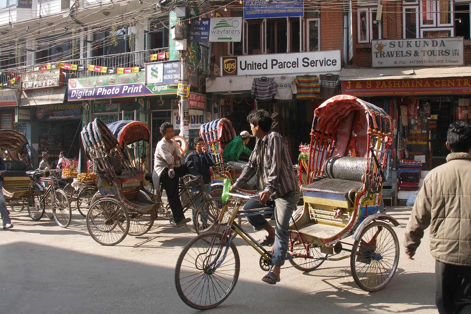
Kathmandu's traveller quarter of narrow lanes, guesthouses, trekking shops and cafes, a short walk north of the old city.
Temple, monastery or heritage site · 1,340 m
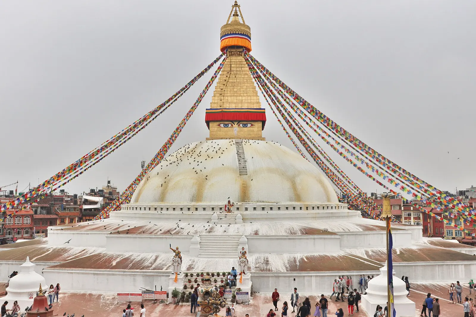
The great white stupa of north-east Kathmandu, centre of the valley's Tibetan Buddhist community and its many monasteries.
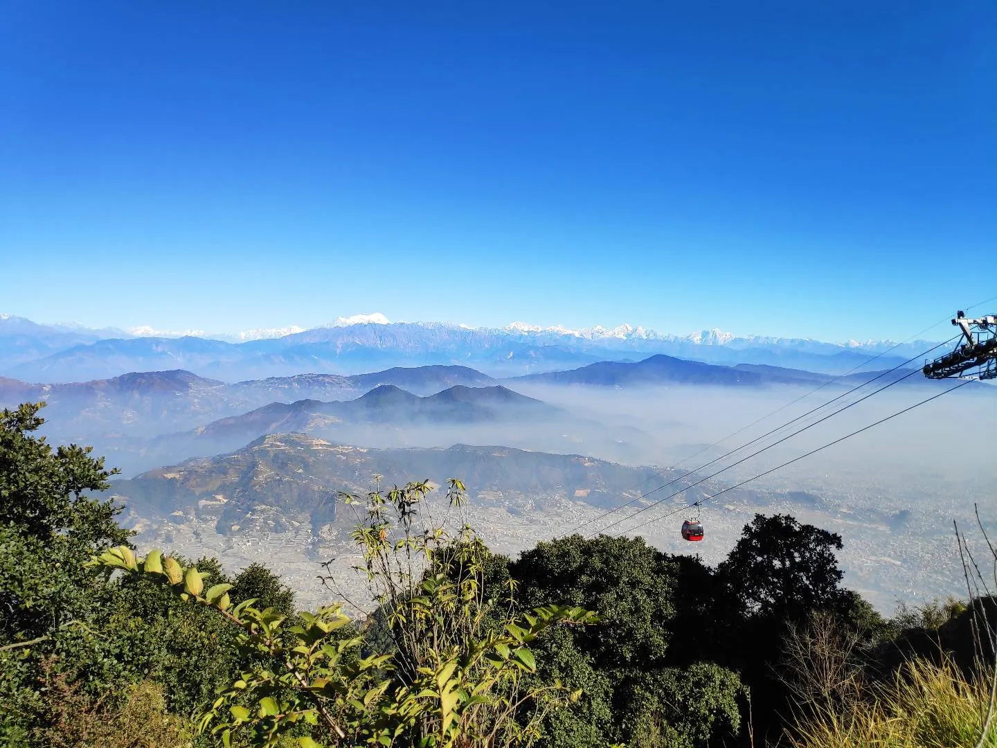
Viewpoint · 2,551 m
A hill on the Kathmandu Valley's south-western rim, reached by cable car, with a Shiva temple and wide Himalayan views.
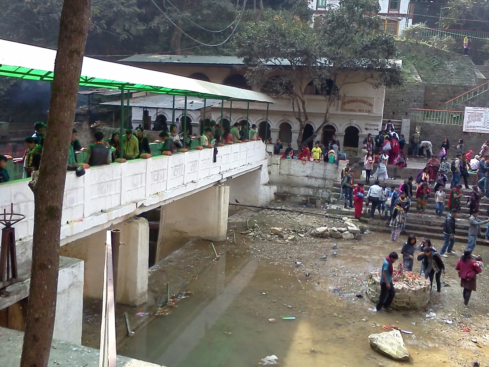
Temple, monastery or heritage site · 1,480 m
A Hindu temple to the goddess Kali in a forested gorge south of Pharping, known for its Tuesday and Saturday animal sacrifices.
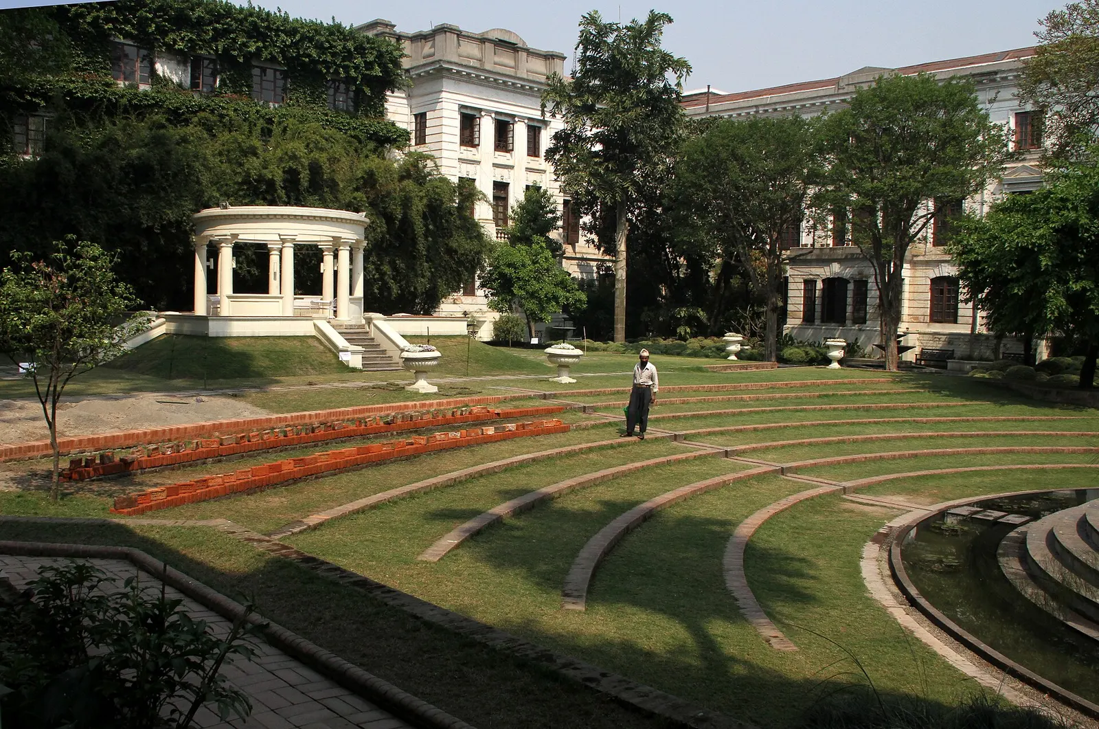
Temple, monastery or heritage site · 1,320 m
A restored 1920s Rana-era garden of pavilions, ponds and lawns at the edge of Thamel.
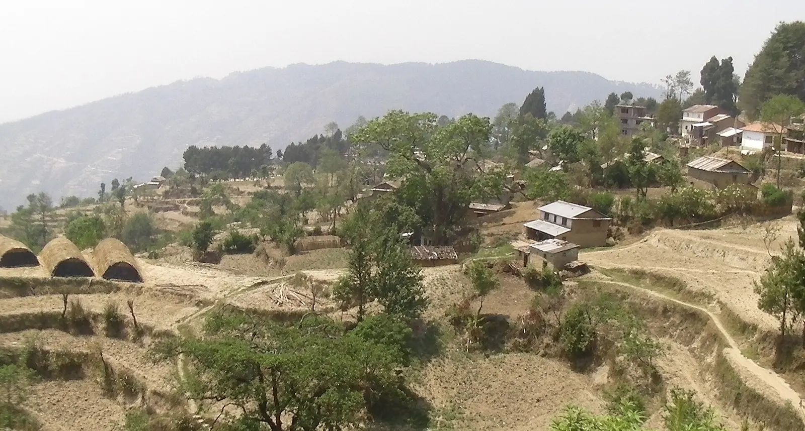
Viewpoint · 2,030 m
A quiet hill station just outside the Kathmandu Valley in Nuwakot, with Himalayan views, strawberry farms and memorial parks.
Temple, monastery or heritage site · 1,310 m
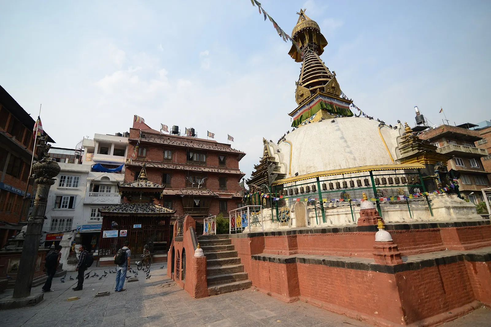
A centuries-old miniature of Swayambhunath in a quiet courtyard a few minutes' walk south of Thamel.
Town or village · 1,400 m
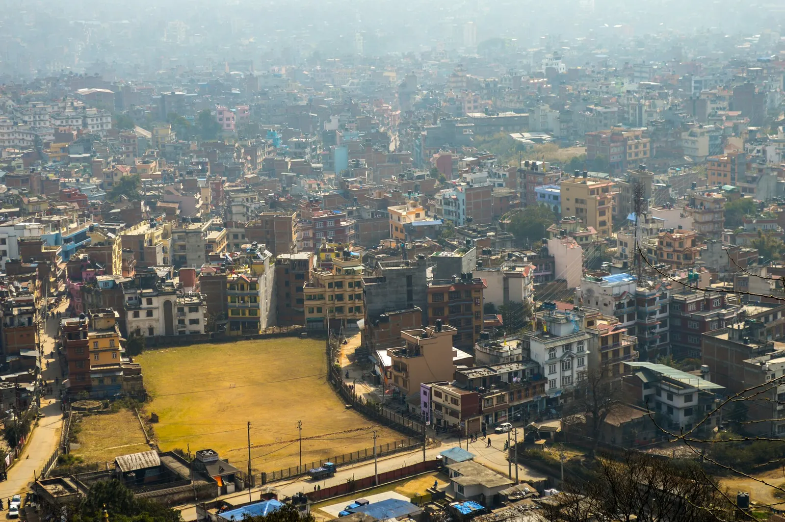
Nepal's capital, a sprawling valley city wrapped around a medieval Newar core, with major Hindu and Buddhist sites and the country's main airport.
Town or village · 1,340 m
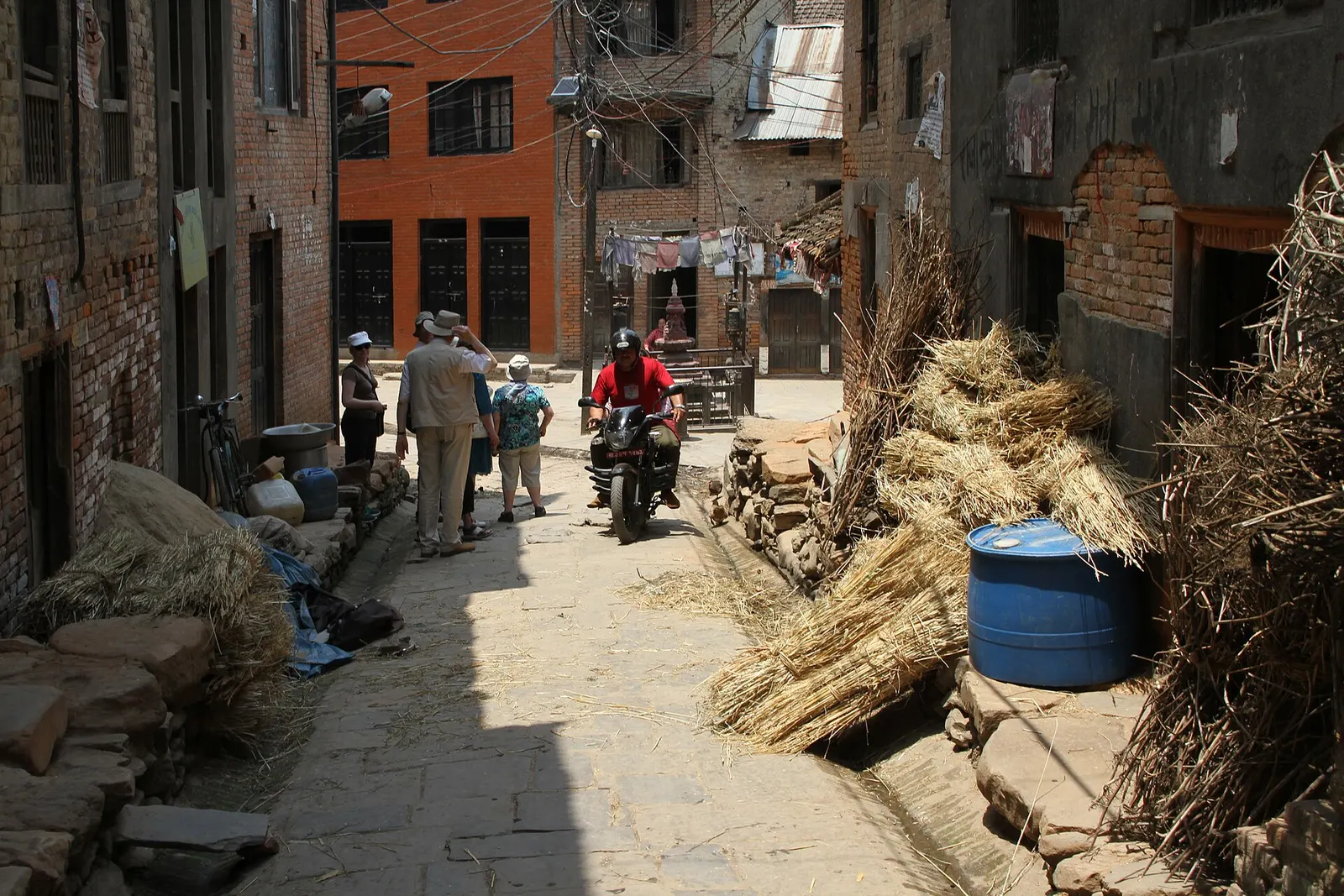
A traditional Newar farming village south of Patan, known for mustard-oil pressing and the Rudrayani temple.
Town or village · 1,360 m
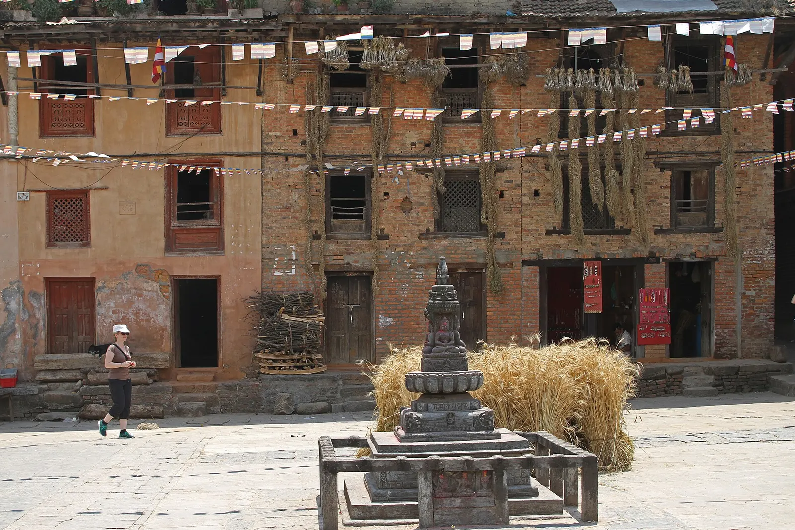
A Newar village on a spur above the Bagmati, home of the rain god Rato Machhindranath and known for its woodcarvers.
Town or village · 1,350 m
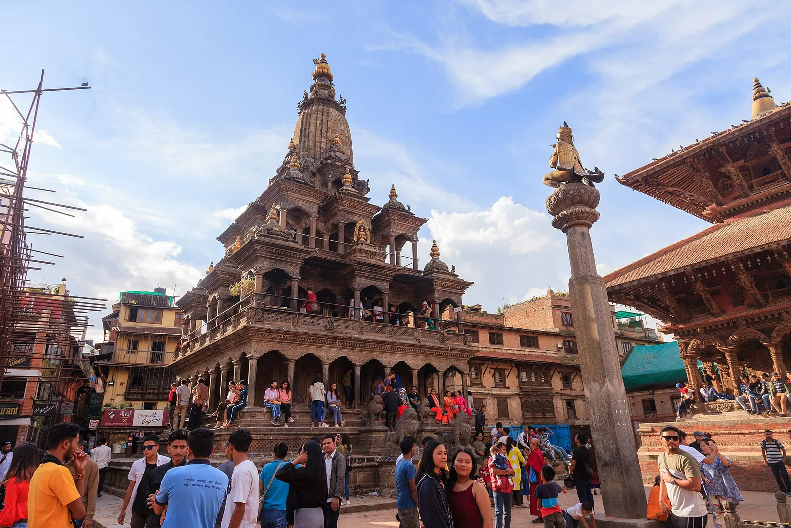
The old Newar city of Lalitpur across the Bagmati from Kathmandu, known for its Durbar Square, Buddhist courtyards and metalwork.