

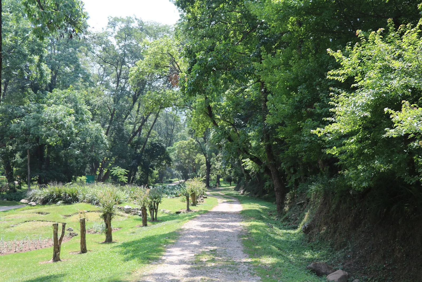
Town or village · 1,520 m
Godawari
A green corner at the foot of Phulchowki, south-east of Patan, with Nepal's national botanical garden, sacred springs and forest walks.
Patan (Lalitpur)बुङ्गमती
A Newar village on a spur above the Bagmati, home of the rain god Rato Machhindranath and known for its woodcarvers.
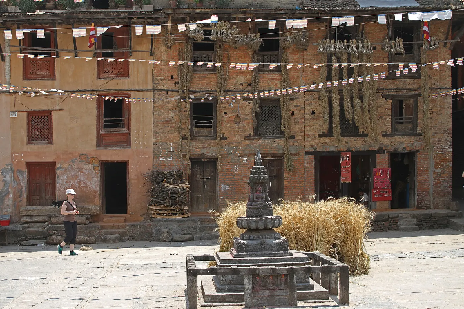
Bungamati is a Newar village on a ridge above the Bagmati river, about 8-10 km south of central Kathmandu and part of Lalitpur Metropolitan City. Its narrow lanes lead to a large central square dominated by the shikhara-style temple of Rato Machhindranath, the red rain god of the valley, who lives here for part of each year. Around the square, villagers thresh and dry grain, and doorways open onto workshops where woodcarvers make windows, panels and statues.
Bungamati is a good place to see the craft that decorates the valley's temples and palaces: many workshops sell carved pieces and let visitors watch the carvers at work. On the edge of the village, the Karya Binayak temple to Ganesh sits in a grove of trees and bamboo with views over the Bagmati valley. The village was severely damaged in the 2015 earthquake, including the Machhindranath temple, and reconstruction has continued since.
Bungamati is one of several villages and sights in Lalitpur district south of Patan, and it is usually combined with Khokana, about 1 km away across a stream. The two make an easy half-day trip from Patan by taxi, bus or bicycle.
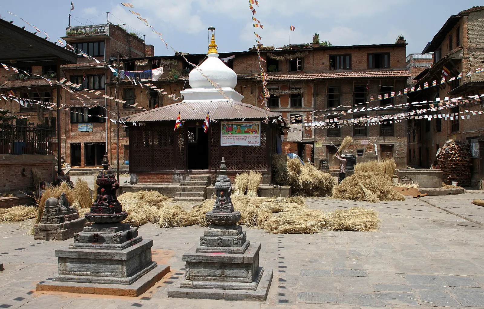
Bungamati is an old settlement: a stele of the Licchavi king Amshuverma, dated to 605 CE, was found here, and the Licchavi-era name of the village was Bugayumigrama. The deity Bunga Dyah, known in Patan as Rato (Red) Machhindranath and to many Newars as Karunamaya, is believed in legend to have been brought to the valley to end a long drought, and Bungamati grew around his temple. He spends six months of the year in Bungamati and six in Patan.
The transfer of the god is one of the valley's great festivals. In the Rato Machhindranath Jatra, held in spring and early summer, a towering chariot carries the deity through Patan; every twelve years the chariot is pulled all the way to Bungamati. Bungamati also has its own Kumari, a living goddess, and a temple to Hayagriva Bhairav, revered as the village's protector.
Visit the woodcarvers
Walk the lanes around the square and stop at workshops to watch carvers shape windows and figures.
See Karya Binayak
Walk 10-15 minutes to the Ganesh temple in its grove for views over the valley.
Walk to Khokana
Cross the stream and walk about 1 km to Khokana, 20-30 minutes.
Forecast for 1,360 m. Conditions change fast in the mountains.
Weather data: MET Norway, licensed CC BY 4.0. A forecast, not a guarantee.
Mar-Apr, Oct-Dec
A small number of homestays; most visitors stay in Patan.
No partner stays are listed here yet. List a property.
Bungamati is about 8-10 km south of central Kathmandu, beyond Patan.
Nearest hub: Kathmandu
Nearest hub: Kathmandu. Times are typical ranges, not schedules, and vary with roadworks, weather and the season.
By busfrom Patan (Lalitpur)about 0.5-0.8 hLocal buses
Local buses run from the Lagankhel park in Patan to Bungamati through the day.
By car or jeepfrom Patan (Lalitpur)about 0.3-0.7 h
About 6 to 8 km south of Patan, 8 to 10 km from central Kathmandu; from Thamel allow 40 to 60 minutes.
Road: Sealed road to the village edge, then narrow brick lanes closed to cars.
By motorbikefrom Patan (Lalitpur)about 0.25-0.6 hEasy riding
Easy short run south of the Ring Road; park at the village edge.
Road: Sealed roads via the Ring Road; the last lanes into the old quarters are narrow and sometimes brick-paved.
On footfrom Khokanaabout 0.3-0.5 h20-30 minutes from Khokana, about 1 km, flat
The field path between the two Newar villages, the classic short walk here.
Entry fee
A local entry fee has been collected from foreign visitors at the village entrance in recent years to support reconstruction and conservation.
Verify before travel: permit rules and fees change. Checked 2026-10-06 against Bungamati, Wikipedia.
What this place is typically exposed to, and when. These are seasonal patterns, not a report on conditions now.
Othermoderate in a typical yearDec-Apr
Dry-season dust and haze are a normal feature of the Kathmandu valley, where measured PM2.5 has run several times the WHO guideline level. Visitors prone to asthma usually do better on early mornings and after rain.
Floodinglow in a typical yearJun-Sep
The village stands above its fields, but the Bagmati and Nakkhu bottoms below it flood from June to September and the field paths turn to mud.
Road blockageslow in a typical yearJun-Sep
About two thirds of the valley's rain falls between June and September, and sustained downpours typically waterlog junctions and slow valley roads, so short cross-city journeys can take much longer than planned.
Coldlow in a typical yearDec-Feb
Valley nights from December to February typically fall to around freezing, with morning fog burning off by mid-morning, and few buildings have heating.
Otherlow in a typical yearJun-Sep
Brick and earth lanes and the paths out to Khokana are slippery in the monsoon.
Check current conditions before you travel
Roads, trails, passes and flights change with the weather and with roadworks, and nothing on this page describes conditions today. Before you set off, check the Department of Hydrology and Meteorology for weather and flood warnings, the Nepal Disaster Risk Reduction Portal for incidents, and the local authority, police or your licensed operator for road, trail and flight status.
Take a taxi via Patan, about 40-60 minutes from Thamel, or a local bus from Lagankhel in Patan, about 30-45 minutes.
It is the home of the rain god Rato Machhindranath and a centre of traditional Newar woodcarving.
Yes, the villages are about 1 km apart, a 20-30 minute walk.
Town or village · 1,520 m
A green corner at the foot of Phulchowki, south-east of Patan, with Nepal's national botanical garden, sacred springs and forest walks.
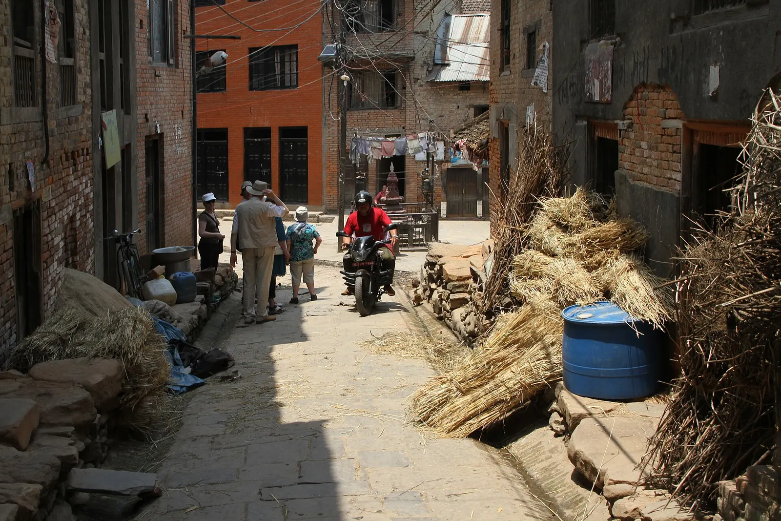
Town or village · 1,340 m
A traditional Newar farming village south of Patan, known for mustard-oil pressing and the Rudrayani temple.
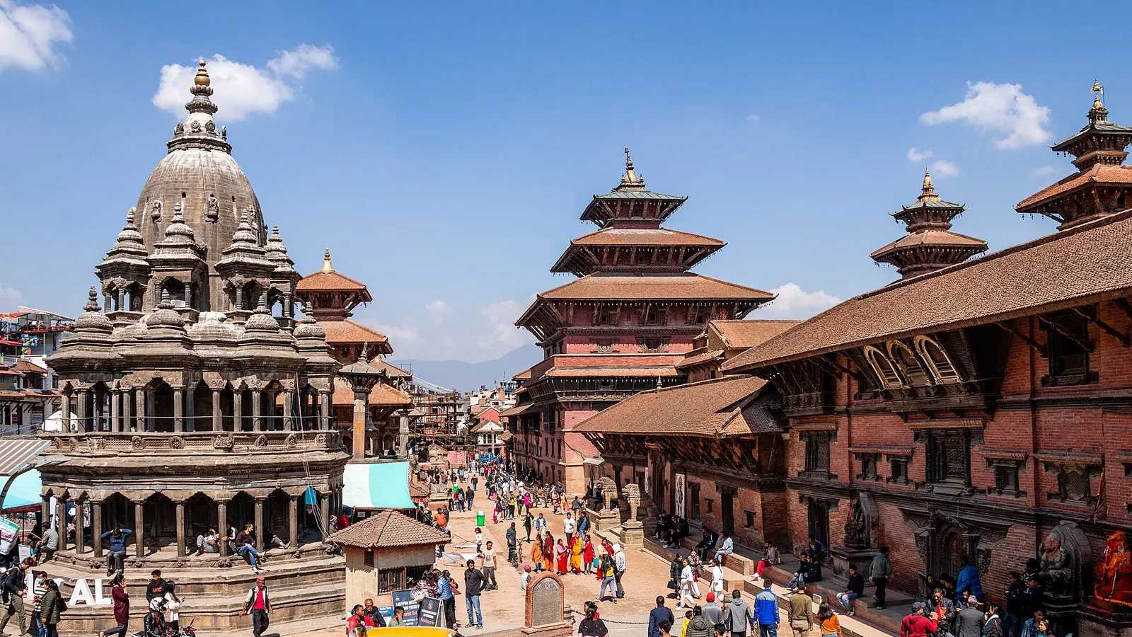
Temple, monastery or heritage site · 1,330 m
The former royal square of Patan, a row of Malla-era temples facing a palace that now houses one of Nepal's finest museums.
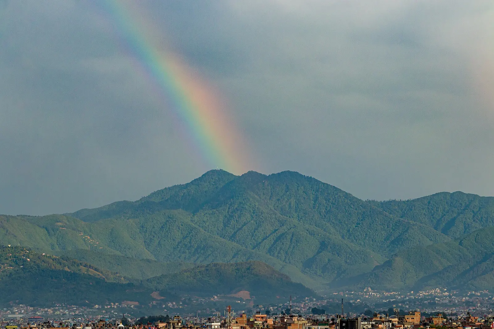
Viewpoint · 2,782 m
The highest point on the Kathmandu Valley rim, a forested hill above Godawari known for birds, rhododendrons and mountain views.
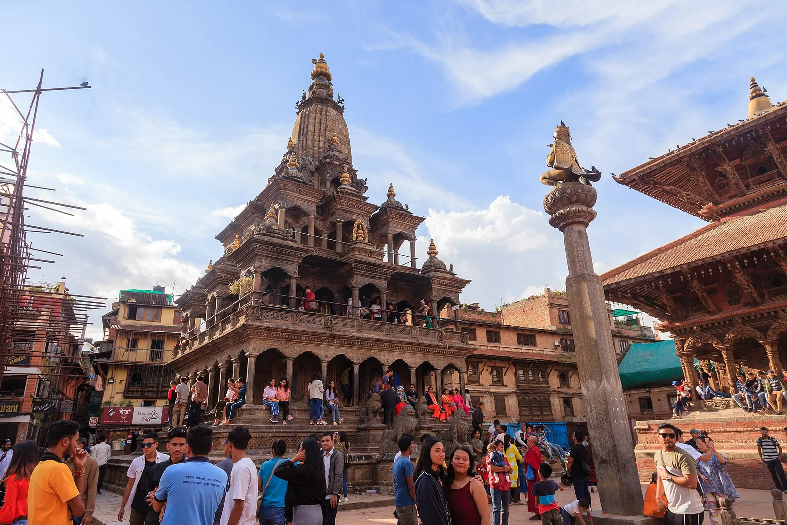
Town or village · 1,350 m
The old Newar city of Lalitpur across the Bagmati from Kathmandu, known for its Durbar Square, Buddhist courtyards and metalwork.
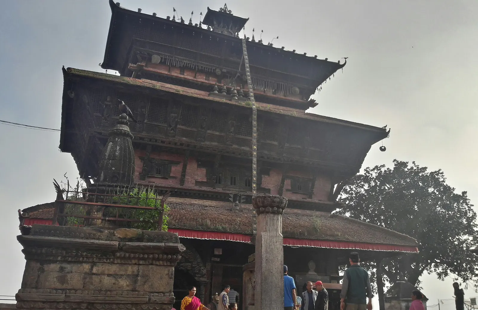
Town or village · 1,400 m
An old Newar hill town on Kathmandu's south-western edge, with temples, valley views and a dramatic history of resistance.